|
The
bordermarkers of the Pyrenees : all my trips
|
|
| -
14 july
2005 - |
 |
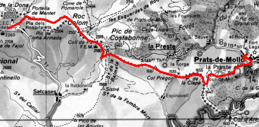 |
Trip-summary Part of a 6-days solo-hike from Puigcerda to Prats-de-Mollo along the borderline. Route: Refugio de Ull de Ter – Prats-de-Mollo. Walking: 10½ hours. |
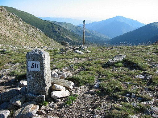 |
Climbing to
Porteille Mantet is simple and there is Bm511 |
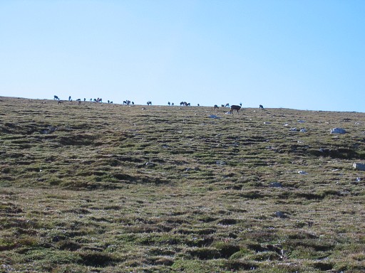 |
A lot of chamois |
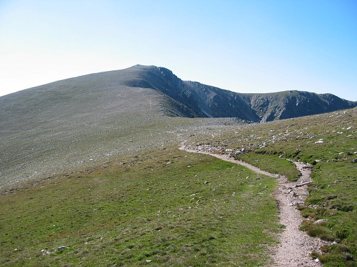 |
Following the
borderridge (more or less) on the HRP-trail |
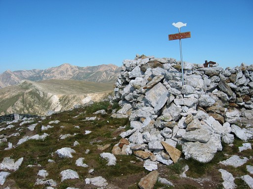 |
Climbing to the summit of Roc Colom. |
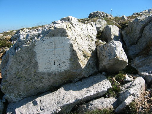 |
Bm512, found after
a long search. Although it's white painted, it inconspicuous in this rocky surrounding.
Moreover it's a bit down the real summit, south of it. The summit is visible on this picture as a reference. |
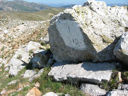 |
Bm512 |
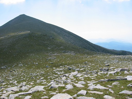 |
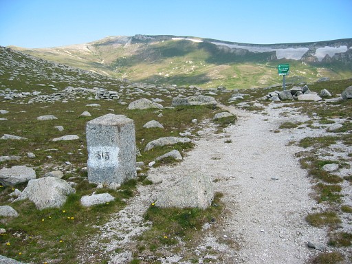
Continuing to Coll del Pal with bm513 On this picture we see the Pic de Costabone ahead. |
 |
Bm513, a smaller stone Then underneath Pic de Costabone but descending on the wrong ridge. I saw a sort of bordermarkers (with "MP" and a number) which I 've seen before on the high plains above Puigcerda. I think they are municipal bordermarkers. By following horizontally the mountain slope on various cattle-trails I return on the borderridge. |
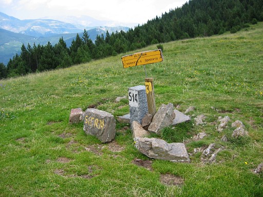 |
On the Col de Siern: bm514 |
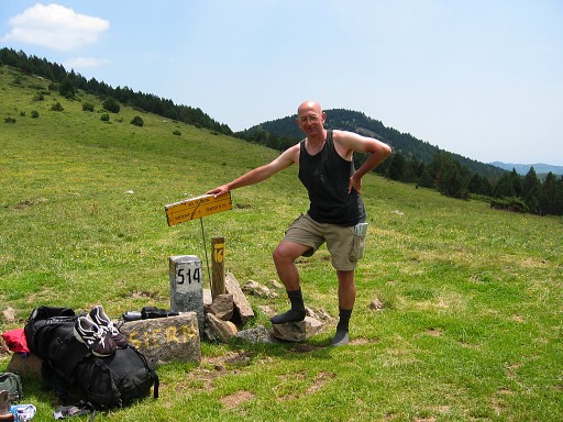 |
Bm514 with me |
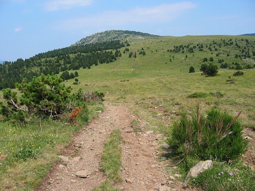 |
In the distance Col Pregon with bm515 |
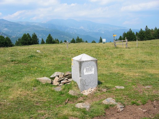 |
Bm515 |
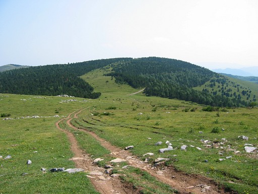 |
In the distance Collada del Prats with bm516 |
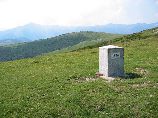 |
Bm516 |
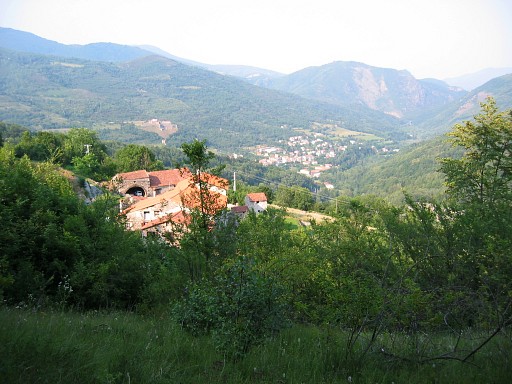 |
Followed by a long descent to Prats-de-Mollo. That's a treat of the senses after a those tough days on bare mountain terrain: colors, scents, sounds. And down in that lovely town, it's quartorze juillet! July 14th, the national holiday of France, celebrated on the town square with music and dancing. |
 previous
trip next
trip previous
trip next
trip  |
|
