|
The
bordermarkers of the Pyrenees : all my trips
 |
|
| - 28 may
2009 - Bm196 unfindable |
 |
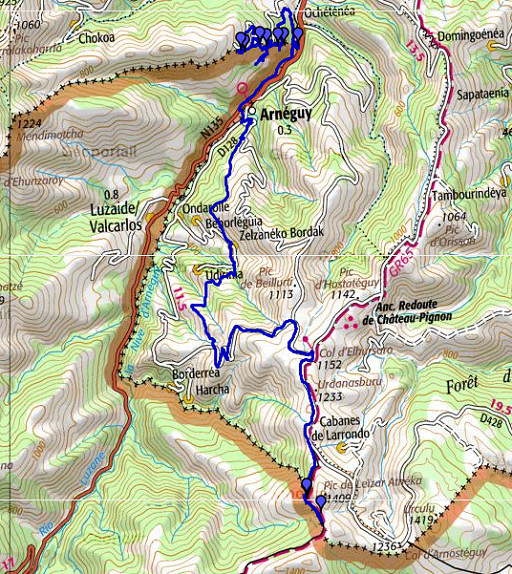 |
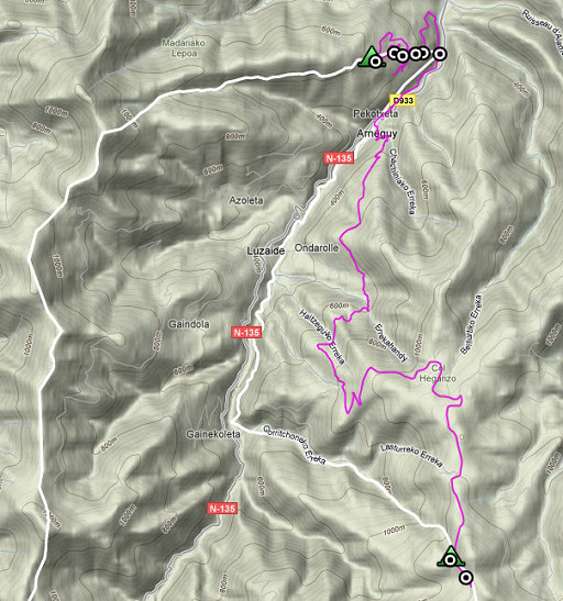
esfr-trip-track-20090528.kml (click to open in Google Earth or copy link to Google Maps; click right on this link to download gpx-version) Part of a 16-days trip, using day 1-10 to cover bm154 to 264 in the eastern Pyrenees and day 11-16 for bm416 to 365 near Bagnères-de-Luchon. Day 4: continuing on the borderridge from bm191 onwards and descending to the river La Nive (bm196). Then a long climb into the mountains until bm198-199. Weather: all day splendid weather and it will remain like this for the next few days. |
 |
For explanation of
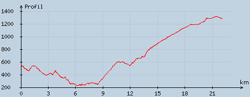
the gps-coordinates and other cartographic backgrounds: see my cartography page En route: ± 8 - 18.45, 10.47h, break 1½h According to my watch: Up 1494m Down 762m = 2256m in total. Hmax 1330m Lmin 226m |
 |
According
to visugpx - distance : 22.31 km - cum. elevation gain : 1356 m - cum. elevation loss : 631 m - total elevation: 1987 - altitude maxi : 1315 m - altitude mini : 229 m - altitude average : 655 m |
 |
Starting
around 08.00. From my bivouac-spot, a trail goes to the borderfence.
Direction for the GRPdesBF: from bm190 keep following the
path/dirtroad, at a crossing with a dirtroad coming from left (my
bivouac-spot) turn right on a trail and walk until the borderfence). I follow the fence to the left, there's a distinct path along it until a crossing with this peculiar metal construction at the borderline. I've seen that before besides bm174 I can't find bm191 at first because it's standing at the other side of the path/dirtroad. |
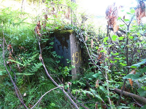 |
Bm191 |
 |
Bm191 Continuing on the trail/dirtroad until a meadow. The trail descends to the right (but blocked by a fence) but I think that the borderline enters the meadow. |
 |
I
make a - more or less - 3/4 circle through the meadows, end up at
a dirtroad, go to the right on it and find - to my surprise - bm192. I find out that that blocked trail (see above) descends to bm192. From bm192 onwards on the trail/dirtroad there's a farm. I fear the dogs (though I don't see or hear any) and return to bm191 for a GRPdesBF - reconnaissance on the tarmac road which is a detour. |
 |
When I leave the tarmac to proceed on
a trail, I end up on a Spanish tarmac road. I go back, climb a bit and
then find - surprisingly - bm193 It's along an old forestroad and I climb it to the W to see where it's coming from. And that's bm192! So: at bm192 the border-forest-trail descends to the right and leads you to bm193. |
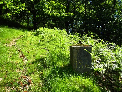 |
After bm193 I continue on the old forestroad and find bm194. |
 |
Bm194. It stands a bit off the edge of the forest in the open. Then continuing on the old forest road, descending in the direction of a house. You need to go a bit to the left to cross fences to get at the tarmac road. |
 |
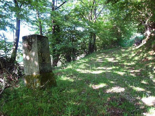
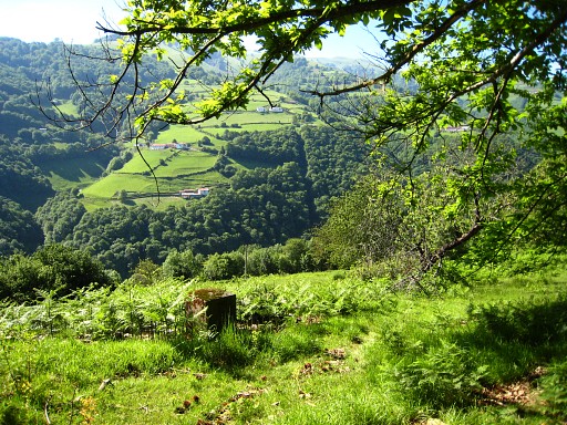
On the tarmac road - a bit to the N - I easily find bm195. Conclusion: from bm191 there's an old trail/forestroad along the border until approximately bm195 which is no longer used as such. Sometimes it's blocked with a fence making it inappropiate for the main GRPdesBF-trail. |
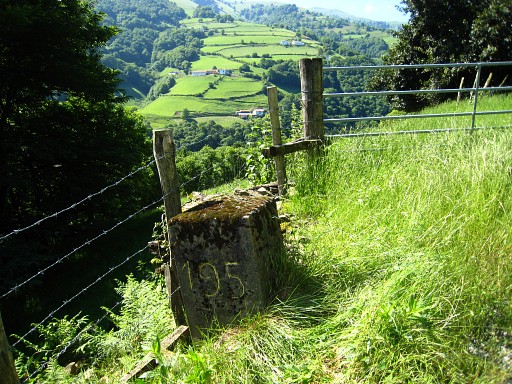 |
Bm195 |
 |
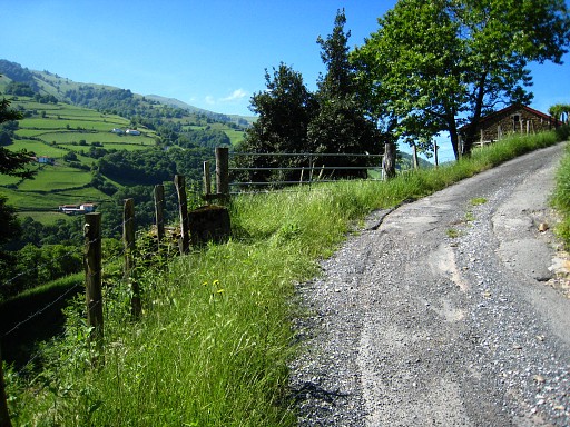
Descending straight away to bm196
seems too tough. Instead I walk into France on the road. After a stream
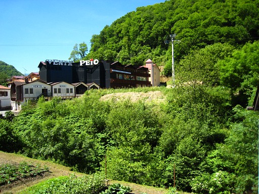
there's a forest-road descending to the right which leads to meadows. Via the meadows I reach the tarmac road which I walked a few days ago (the Valcarlos-route from St-Jean-Pied-de-la-Port to Roncevaux). It brings me - again - to the venta-complex at the border. |
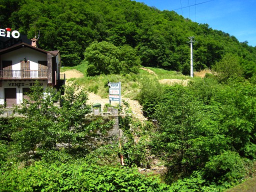 |
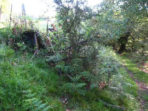
At the venta-complex I search long for
bm196. With close map-reading, consulting the Procès-verbal and
identifying an electricity pole as being French, I can reduce the
possible spot to about 20m of the riverbank. I do an extensive search - in vain - along the bank which is not easy in the undergrowth and bush. This picture: from the other side of the river. |
 |
This picture: also from the other bank and looking at the bush/undergrowth I wrestled through. |
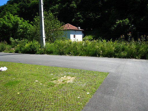 |
When I give up and want to take a lunchbreak at the venta's, I spot on the parking something. In the green plastic network on the ground, there's a striking rocky square which is unique on this parking. |
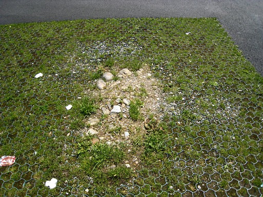 |
The location might match and I think that the bm stood here but has been hit by a car or likewise. But this is all speculation as I will learn later: bm196 has disappeared in the seventies under the ground along the small road alongside the venta's A GRPdesBF-idea: from bm191 following the winding tarmac road in France to bm195, then descending to Arneguy. Lunch break in a venta cafe. I'm tired of all this searching in the bush. I can't resist the temptation and buy a pipe and tobacco .... |
 |
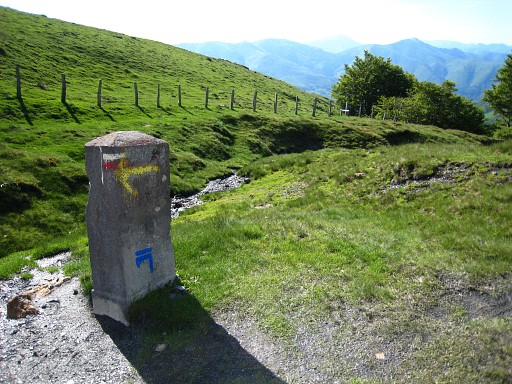
Second half. First to Arneguy on the pilgrim's route. In Arneguy I pick up a yellow waymarked route (shown on the map) which leads me to almost bm198, joining there the classic pilgrim's way over the mountains. It's a beautiful stage but the waymarkings seem to be meant for the other way around. But with the map, navigating is not difficult though I went wrong in the last part. I ended up on the tarmac road a few bends too low. From bm196 (the venta's) to bm198, it took ± 4½h. |
 |
I have arrived on the plateau and proceed |
 |
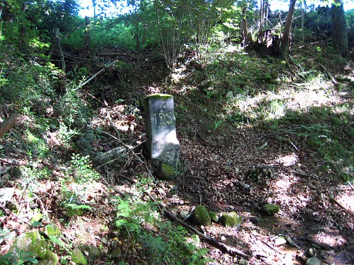
to bm198. |
 |
Bm198 |
 |
Then past bm199 |
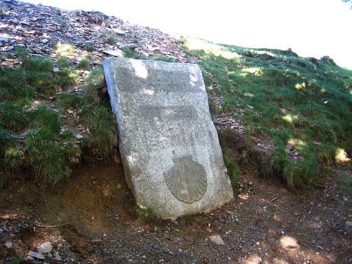 |
to the "source of Roland" to collect water. |
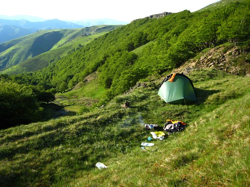 |
I walk back to bm198, I've seen there a nice bivouac-spot with a view down the bordervalley. |