|
The
bordermarkers of the Pyrenees : all my trips
 |
|
| - 8 september
2012 - A Swiss in the Pyrenees |
 |
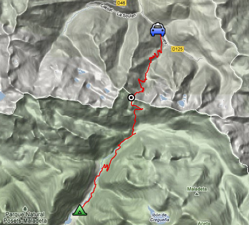 |
esfr-trip-track-20120908.kml (click to open this trip in Google Earth or copy link to Google Maps; click right on this link to download gpx-version) Summary: part of a 2½-weeks-trip to the Pyrenees with a lot of targets, most of them reconnaisances of routes for the GRPdesBF. Day 13: the last part of the Col de Clarabide to Col de la Glère survey: crossing Col de la Glère and finishing in Bagnères-de-Luchon. Weather: sunny, warm |
 |
For
explanation of
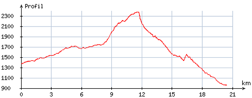
the gps-coordinates and other cartographic backgrounds: cartography page Start: 8.00, no break, finish: 15.45, net walking time: 7.45 According to the gp-tripteller: Distance: 22,3 km In total: 7.43h Total ascent: 965m Maximum height: 2353m |
 |
According
to visugpx - distance : 20,9 km - cum. elevation gain : 1221m - cum. elevation loss : 1638m - total elevation: 2859m - altitude maxi : 2376m - altitude mini : 957m - altitude average : 1811m |
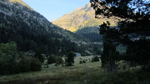 |
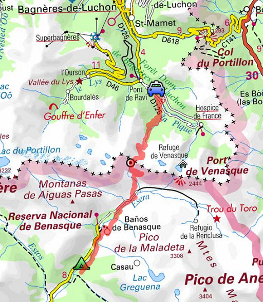
From my camping it’s a quiet walk along a dirtroad (partly paved) to
Llanos de Venasque (or Baños de Benasque). Half of it is red/white
waymarked. |
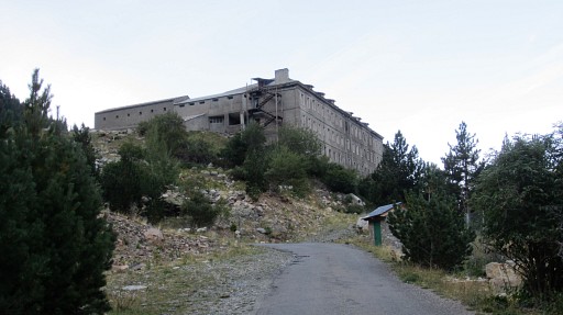 |
From a very large grey building, the red/white waymarking goes another direction and I continue on the dirtroad, |
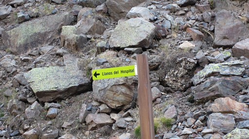 |
a signpost directing me. The red/white trail seems to take a higher route to Llanos de Venasque but the dirtroad is OK for my purpose. |
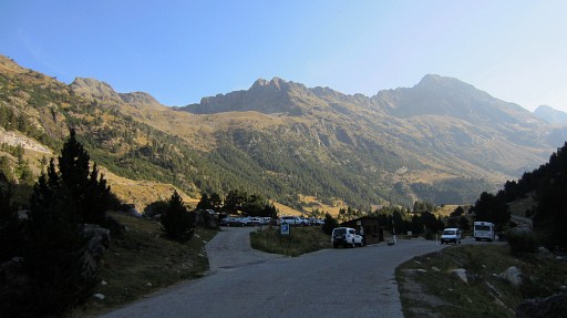 |
The last part is a concrete road and I arrive at a lager parking. |
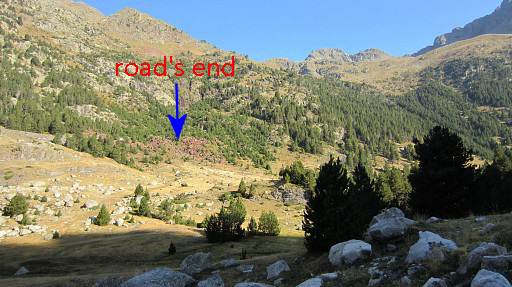 |
From the far end of that parking, I climb along a trail to the road higher up. A bit further, the road ends. |
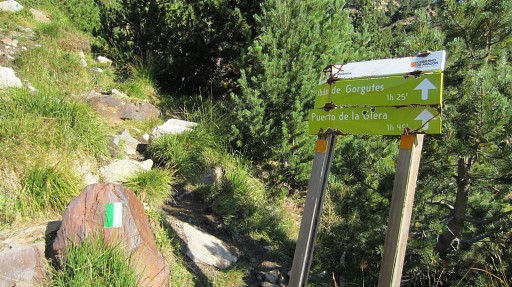 |
From there a green/white trail starts that leads underneath the lake ‘Ibon de Gorgutas’ and to Port de la Glère. |
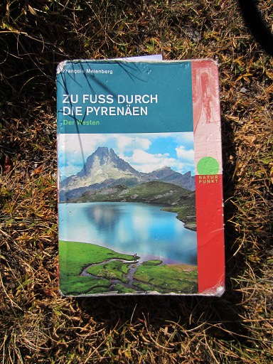 |
At the road’s end I’ve met Ewald
Iseli, a 62 years old Swiss. He walks - as a sort of ‘rite de passage’
after his retirement - a 10-weeks Pyrenean coast-to-coast route. He uses this german-language guidebook: "Zu Fuss durch die Pyrenäen" by François Meienberg It’s a combination of the various GR-trails along the Pyrenees, including some summit-climbs and is surpringly comprehensive in data on lodging, transport etcetera. |
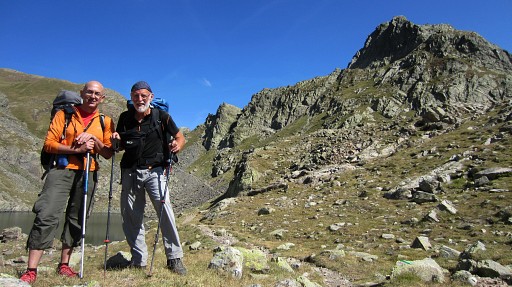 |
With
his shoulder surgery and artificial hip, he’s amazingly energetic and
fast. We’ll walk together for the rest of the day until we part in
Luchon. |
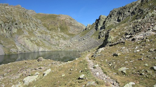 |
We have arrived at Lac des Gourgoutes, just before the borderpass of Port de la Glère. |
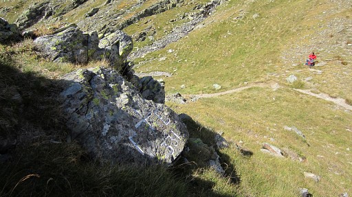 |
At the borderpass, it's a bit climbing to bm331. |
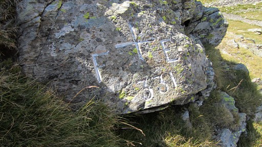 |
Bm331
|
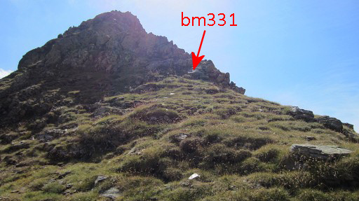 |
Bm331, as seen from the pass. |
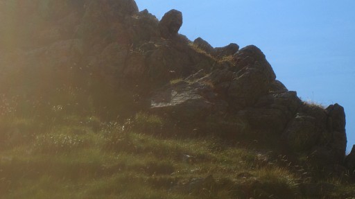 |
A zoom-in from previous picture. |
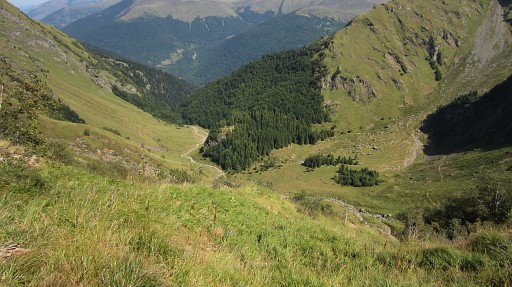 |
Then
it’s a long, long descent N to the road. We get a hitch to Bagnères-de-Luchon and after a ‘panaché’ (beer with lemonade) we say goodbye. I take the train back to Lannemezan and drive to St-Lary-Soulan to the camping municipal. |