|
The
bordermarkers of the Pyrenees : all my trips
 |
|
| - tuesday 4 june
2013 - Finally: a divine sunny day |
 |
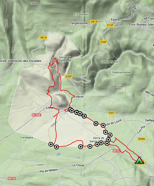 |
Summary: a seven-days trip with Jan-Willem with a lot of targets in the Basque country and around Llivia. Day 5: Daytrip from camping Las Closas in Err along the Llivia-bordermarkers 06-21.1. Targets: 1. (re)establish gps-coordinates 2. explore direct routes Weather: splendid in a spring-like landscape, our first day of sun. |
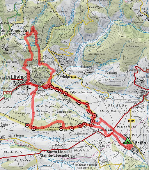 |
esfr-trip-track-20130604.kml (click to open this trip in Google Earth or copy link to Google Maps; click right on this link to download gpx-version) For explanation of the gps-coordinates and other cartographic backgrounds: cartography page |
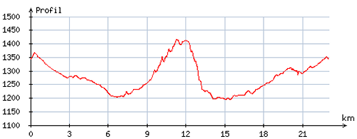 |
According
to visugpx - distance : 23,0 km - cum. elevation gain : 396 m - cum. elevation loss : 394 m - total elevation: 790 m - altitude maxi : 1415 m - altitude mini : 1194 m - altitude average : 1275 m |
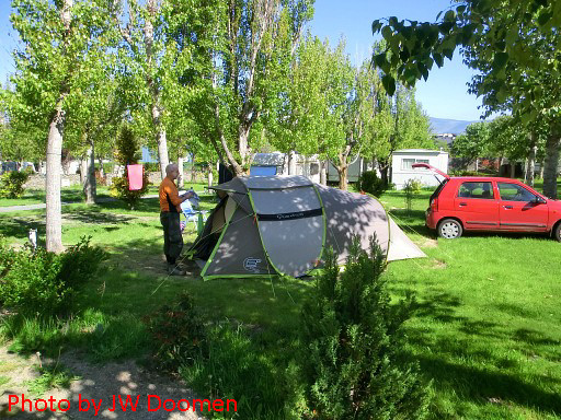 |
Our camping in Err (Las Closas): quiet, comfortable and of course: wifi! |
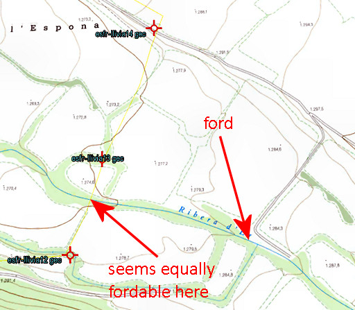 |
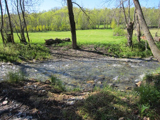
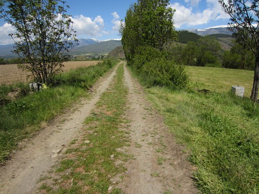
We walk along the
(dirt)roads towards bm14. Plusminus 300m before bm14, we first investigate a dirtroad descending to the river to a ford. You could easily wade through the river (in any case at the present moment and waterlevel) and reach bm13 which is 300m to the west from the ford. But further on - on the direct line between bm12 and 14 - it seems equally easy to cross the river. Bm13 is then only 100m S of the river. When crossing the river: using 'watershoes' and a walking stick could help you a lot. |
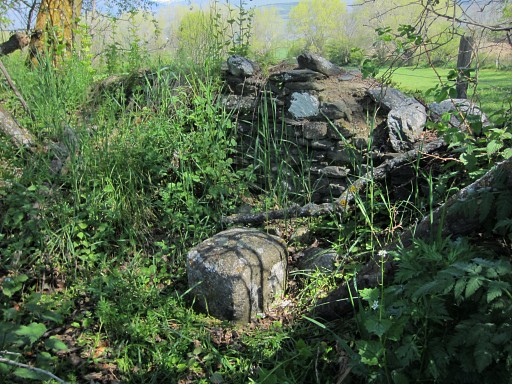 |
But we don't cross the river, we walk along it towards bm13 with help of the gps. Finding it however, takes some searching. |
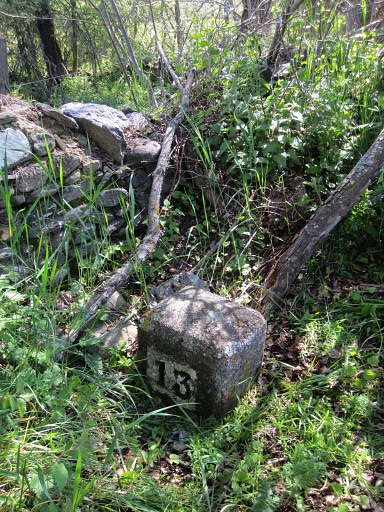 |
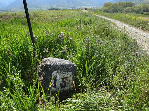
Bm13 |
 |
Bm13 is close to the river and - as said before - wading through it seems easy and acces to bm12 short (±100m). |
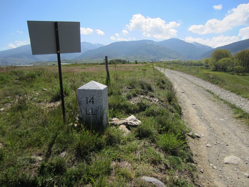 |
We proceed to bm14 |
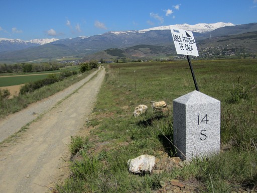 |
Bm14 |
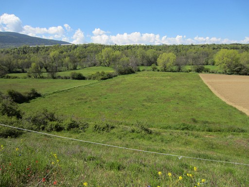 |
And this is view back to where we come from (bm13) with |
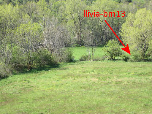 |
this zoom-in, bm13 is behind a low stone wall. |
 |
Bm15 |
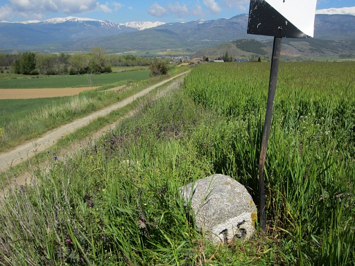 |
Bm15 |
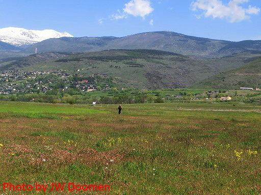 |
Then straigt through the fields to |
 |
Bm16south |
 |
Bm16south |
 |
bm16north -> we can't find a second bm16 at the other side of the road though the treaty of 1868 (see this webpage) explicitly states double bm's for the range 16-20. So I can add this one to the list of unfound bordermarkers. The double markers 17-20 do exist. Surprisingly, the French IGN-map says "bnes front. 16" (so plural) but "bne" for bm17-20. |
 |
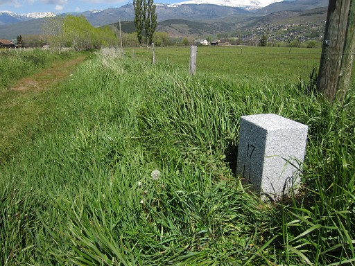
Bm17ll |
 |
bm17ll |
 |
bm17fr |
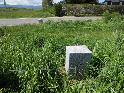 |
bm17fr |
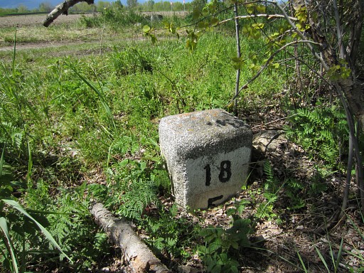 |
Bm18fr |
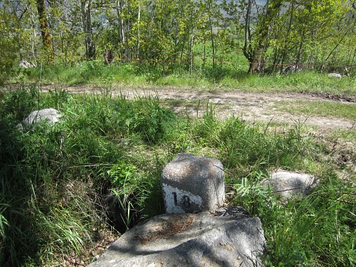 |
Bm18ll |
 |
Bm19 - both markers |
 |
Bm19ll |
 |
Bm19fr |
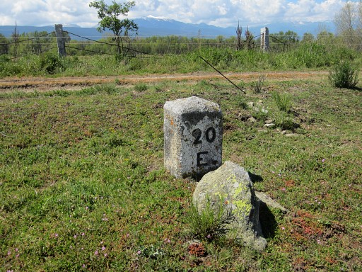 |
Bm20fr |
 |
Bm20 - both markers |
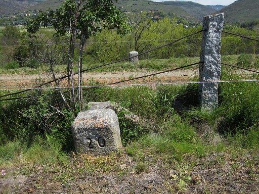 |
Bm20ll |
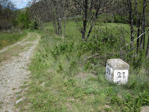 |
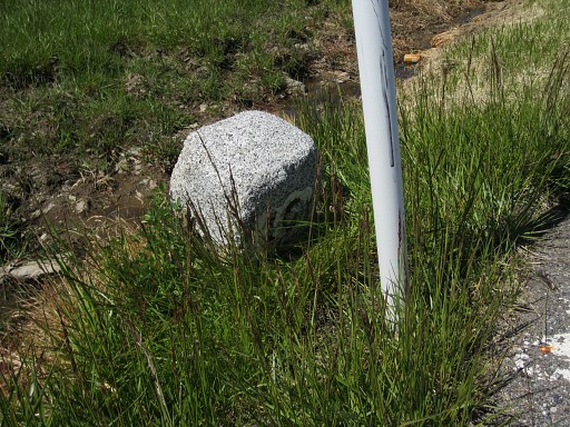
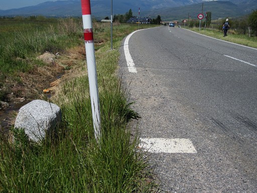
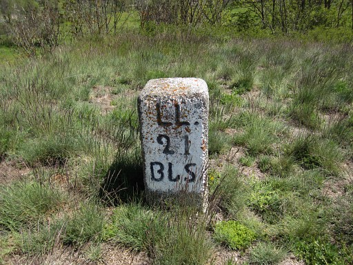
Bm21 |
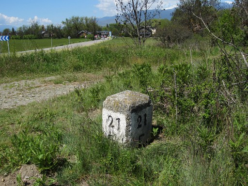 |
Bm21 |
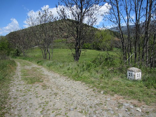 |
Bm21 |
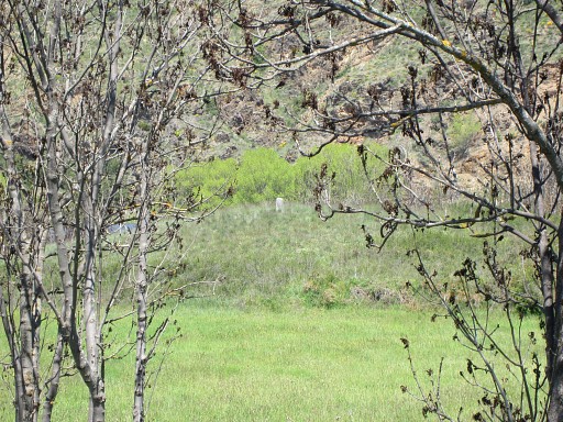 |
Zoom-in from previous picture: bm21.1 seen from far |
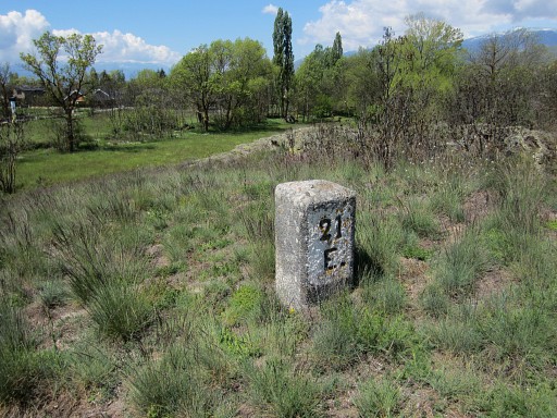 |
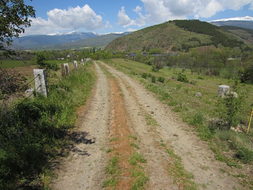
Bm21.1 on a small hilltop |
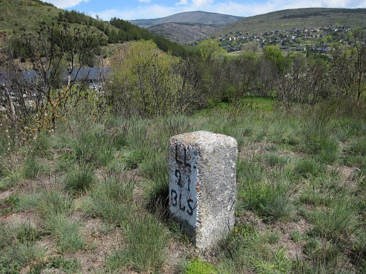 |
Bm21.1 |
 |
Bm21.1 |
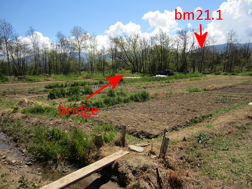 |
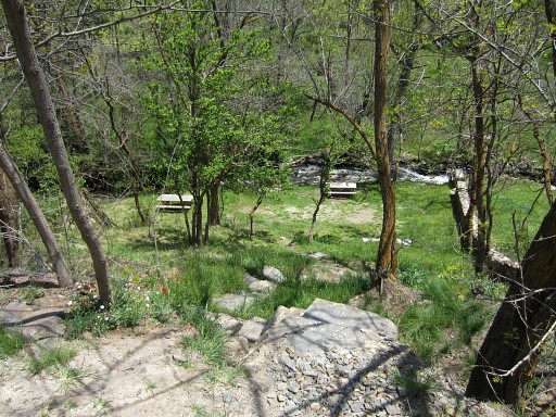
Then we head back to the road and
enter Llivia, taking a path immediately after the bridge to the right
to a complex of small vegetable gardens (allotments). But we find out that 50m NNE of the hilltop of bm21.1, there's a bridge which is a more direct connection to these gardens. This picture: taken from the N-side of the allotment-complex. |
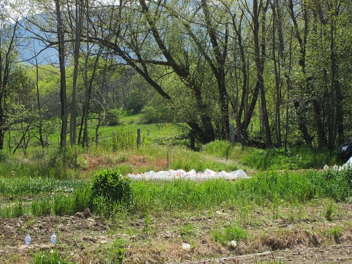 |
You can see that bridge better at this zoom-in of the previous picture |
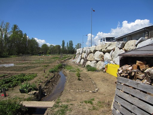 |
Through the complex of gardens, we can reach an artificial made rockwall |
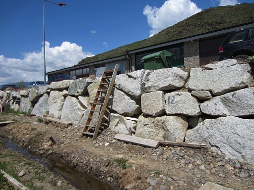 |
and climb it on a rung ladder to an industrial site. |
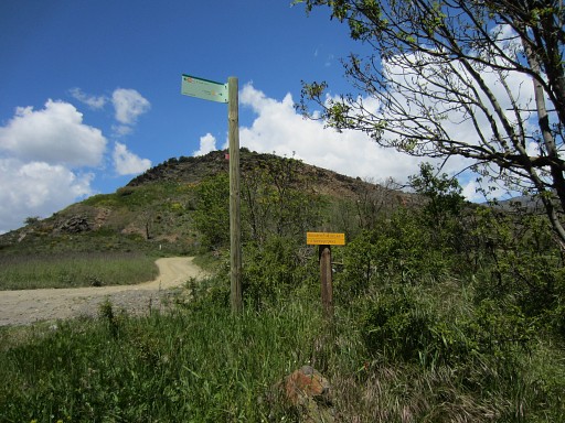 |
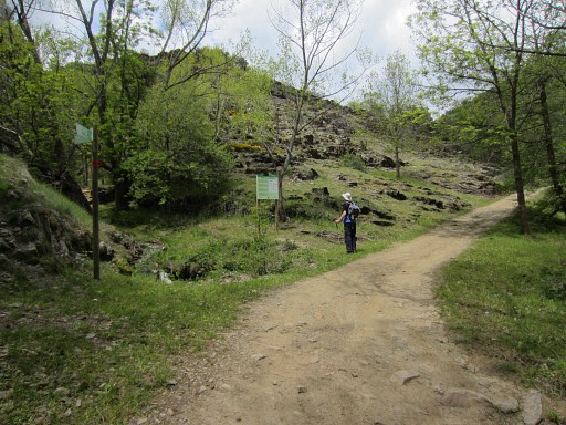
From there we walk around the
industrial building to the main route from Llivia-town to Estavar. We
take the first turn left, then take left a dirtroad which leads to the
borderriver and across it. There we see these waysigns of various hiking-routes. Here, we will follow to the right a dirtroad, |
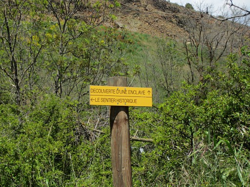 |
waysigned and part of a "Découverte d'une enclave" trail. We
hope this is an access route to bm22. PM: I can't find on the internet a map of this 'Découverte'-trail. Only that it passes through or along the villages of Estavar, Llivia, Targasonne and Egat. See this webpage |
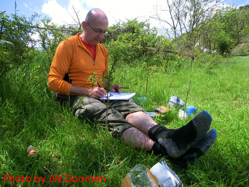 |
But first a lunchbreak in the grass, enjoying a cigar afterwards while updating my logbook. |
 |
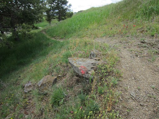
Then back on the track. The dirtroad (yellow waysigned) takes us E along the borderriver (we think) |
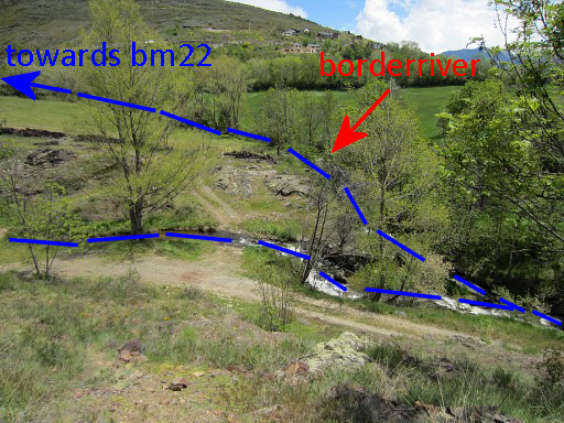 |
From the dirtroad, we see down below this crossing of the river, accessible by a branch of the 'yellow' dirtroad. Later today we will discover that this is the spot where 2 streams come together and that we should have followed the other one upstream. |
 |
So we keep following the 'yellow' route which is a pleasant walk. Here and there we see information-panels. |
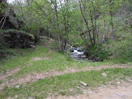 |
The dirtroad switches from one side of the stream to another but keeps following it. |
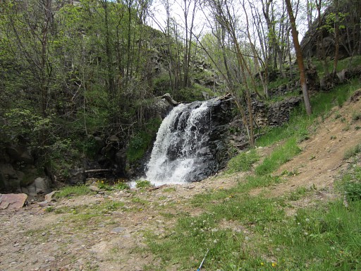 |
But then - at a waterfall - the dirtroad bends back and takes us farther away from bm22 (according to the gps). Obviously - we think-, there's no dirtroad/path leading to bm23 or some direct trail to bm22. But later on we realize that we missed that branch of the river which is the real (continuation of) the border up to bm22. |
 |
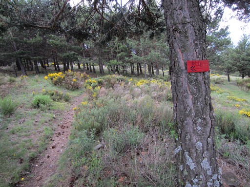
Meanwhile clouds are gathering, a thunderstorm is ahead. We return to Llivia-town, descending through a forest on a - for a large part - 'red' mountainbike-trail. |
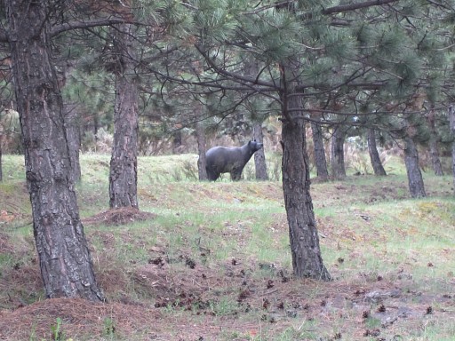 |
through a peculiar archer's training-field with animal-statues like this beer. |
 |
Rain and thunder have started and once in Llivia-town - having descended directly - we shelter a while in a cafe. Then back 'home' via bm06 to bm12. |
 |
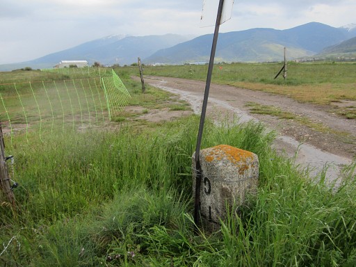
Bm06 It starts raining againg and walking through wet & long grass/wheat is a very wet experience (soaking shoes). |
 |
Bm06 |
 |
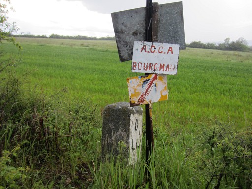
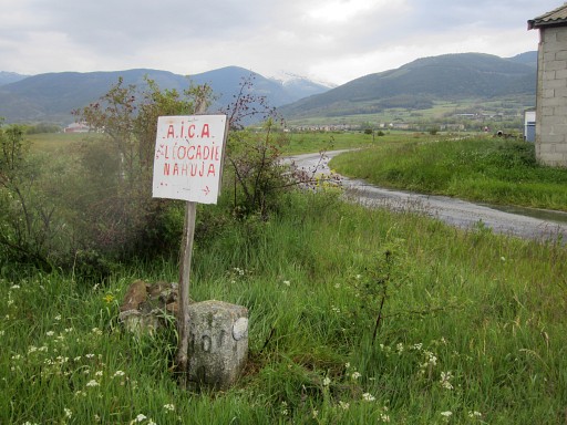
Bm07 |
 |
Bm07 |
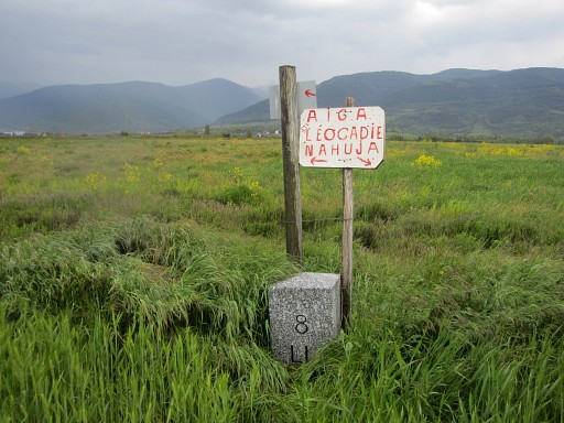 |
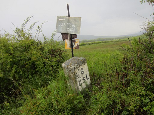
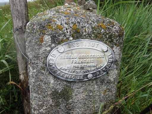
Bm08 |
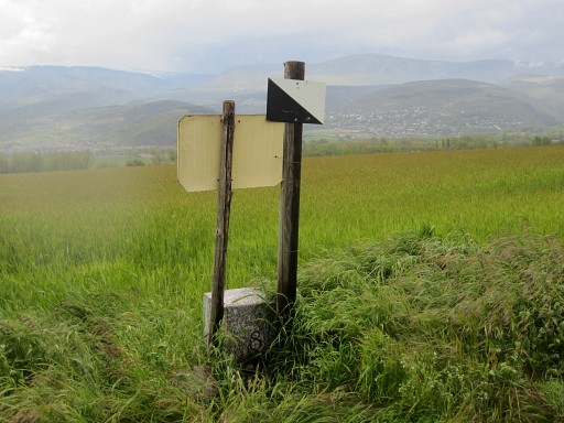 |
Bm08 The border runs straight through the fields. The "area privada de caça"-signs (hunting restricted) - also seen as black/white shields without a text - are helpful because they mark the esfr-border. They make finding the bordermarkers easier. |
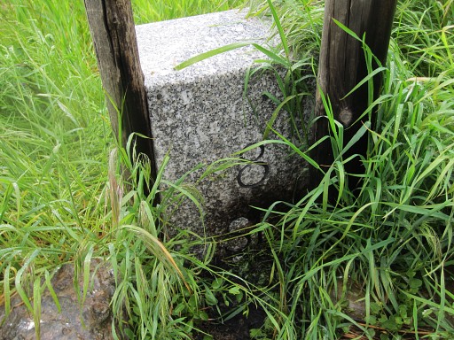 |
Bm08 |
 |
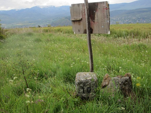
bm09 In fact autumn is a far better time to 'do' these bm's: the fields will be empty after the harvest and easier to cross. |
 |
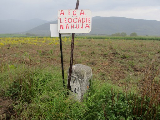
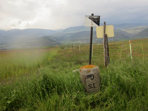
Bm09 |
 |
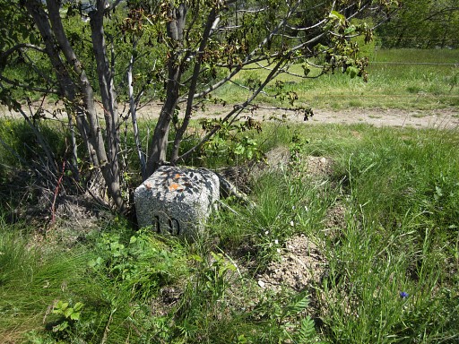
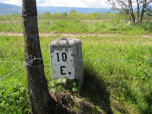
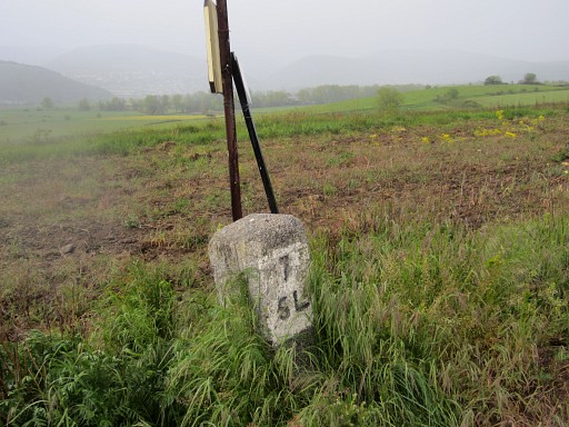
Bm10 |
 |
Bm10 |
 |
Bm10 |
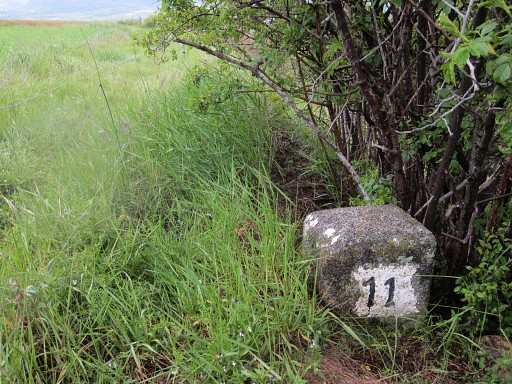 |
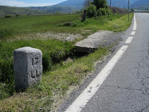
Bm11 |
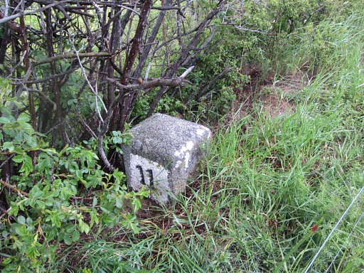 |
Bm11 |
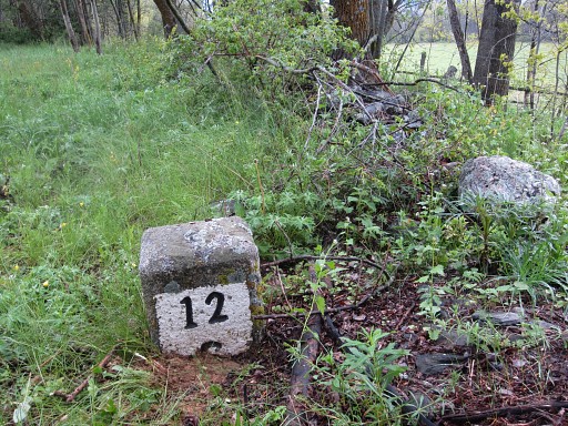 |
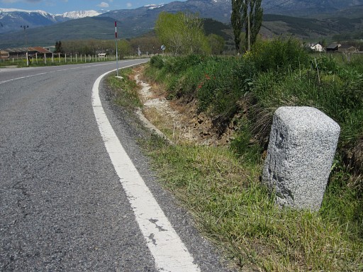
And finally bm12 |
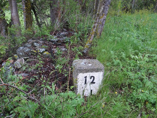 |
Bm12 From bm12 we walk straight SE through the meadows to the road and to our camping in Err. |