|
The
bordermarkers of the Pyrenees : all my trips
 |
|
| - saturday 24 august
2013 - Rain and fog |
 |
 |
esfr-trip-track-20120824.kml (click to open this trip in Google Earth or copy link to Google Maps; click right on this link to download gpx-version) Summary: part of a 12-days trip to the Pyrenees with a lot of targets from the Ariège mountains to the Basque country Day 4: fourth day of a 6-days hike following the Ariège borderridge from bm418 to 425, today from cabane de la Lanne to cabane de Crusous, in between Port de Salau and Port de Marterat Weather: rainy, foggy |
 |
For
explanation of
the gps-coordinates and other cartographic backgrounds: cartography-page Start: 8.30, no break, finish 17.15, net walking time: 8.45h According to the gps-tripteller: Distance: 21,0 km Total ascent: 1166m Maximum height: 2195m |
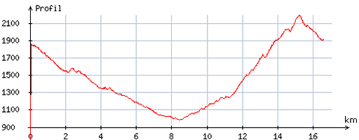 |
According
to visugpx - distance : 17,0 km - cum. elevation gain : 1344m - cum. elevation loss : 1291m - total elevation: 2635m - altitude maxi : 2193m - altitude mini : 984m - altitude average : 1592m |
 |
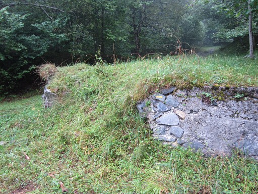
The day starts with drizzle. I follow the red/white GR Transfrontalière downhill and |
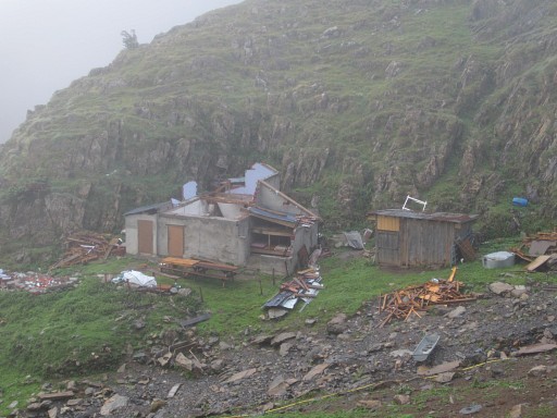 |
pass this shepherd's cabin. Probably destroyed by the enormous snowfall of last winter. |
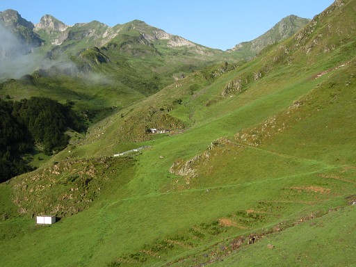 |
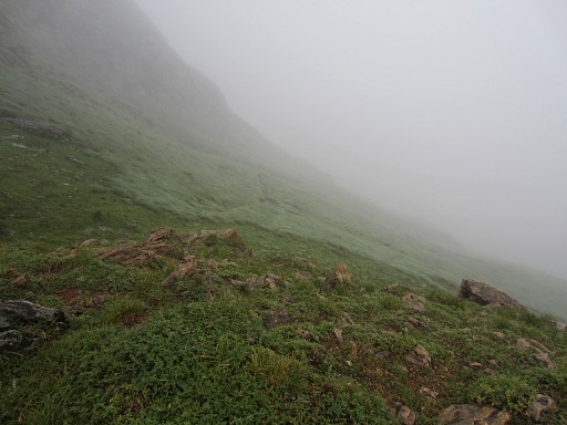
For a moment there’s sunshine and wide views (this picture: towards Port de Salau), |
 |
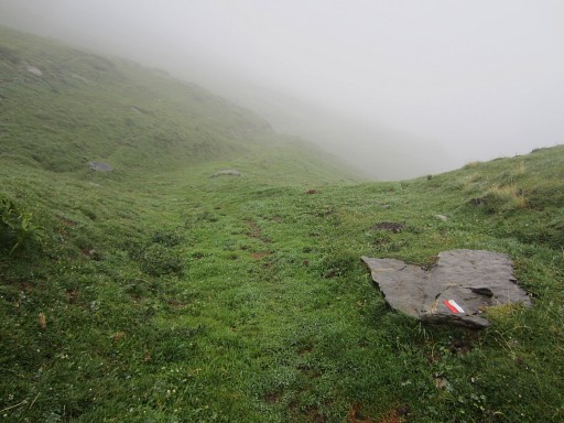
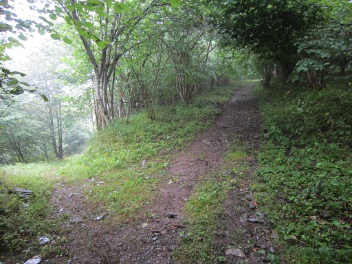
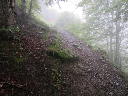
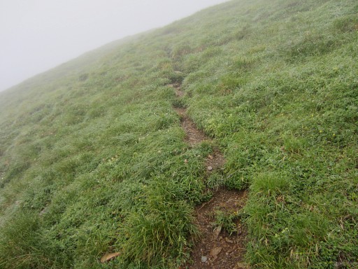
then it starts to drizzle again for the rest of the day. In the mountains that means: fog. The descent from the cabane to the parking above Salau (which takes me ± 3½h) isn’t that straightforward. I loose the GR-trail once |
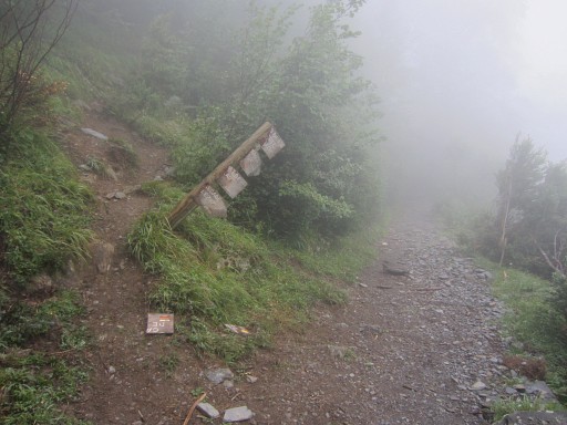 |
and when I try the trail (shortcut) to Grange d’Espis - which is the branch to the left on this picture - |
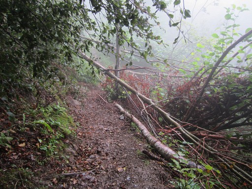 |
it’s too much blocked by fallen trees. I have to return. But nevermind, the GRT-trail to the parking is a nice and easy stroll. |
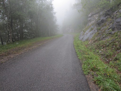 |
Then from the parking to the Anciennes Mines d'Anglade, an easy 2,5km walk on the tarmac. |
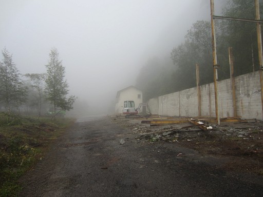 |
At the end of the road this derelict building |
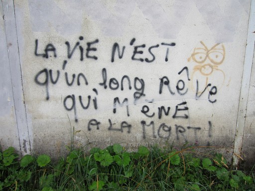 |
with this rather sad philosophy of life. |
 |
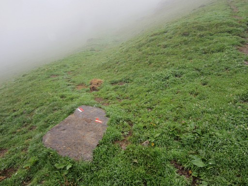
Beyond the building, a yellow trail will bring me first to the cabane de Saubé but with some navigation difficulties. This picture: the first yellow waymark appears, go straight ahead. |
 |
As far as I
remember, you have to go further uphill from here. |
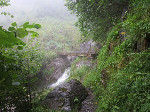 |
After - let's say 150m of following that forest-road - you can go left and cross this small bridge |
 |
and a bit further the trail climbs steeply NNE through and along a forest |
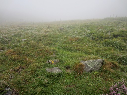 |
to open area where a few yellow crosses might confuse you as it did me. They only want you to zigzag uphill and not to climb straight on. |
 |
Continuing uphill, you will reach this cabin: cabane de Saubé Behind the cabane, the yellow trail continues uphill. |
 |
The yellow waymarking is not superfluous, |
 |
so be attentive not to take a wrong branch. At crucial points there are often cairns. |
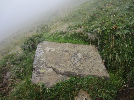 |
And suddenly I spot this curious engraving. |
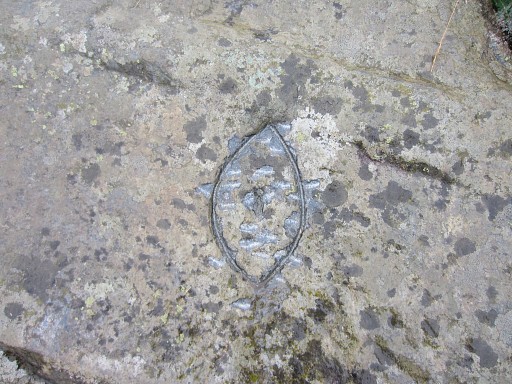 |
I saw an identical engraving three days ago on 21 august. Who knows its function? |
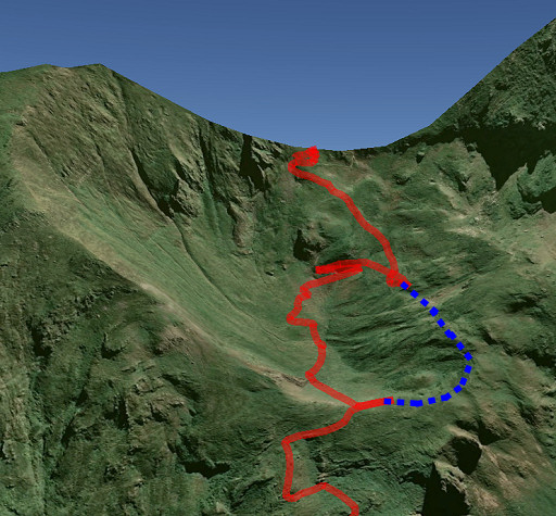 |
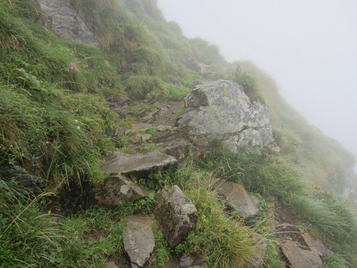
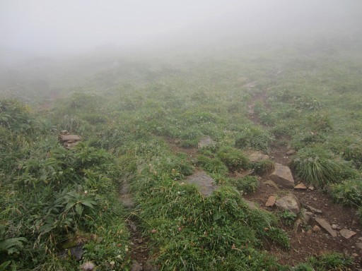
This picture: looking E and showing the last part of the ascent to Col de Crusous. Once arrived at a sort of pass/ridge (± 1900m) and looking forward E to a sort of valley at the foot of a higher pass (the Col de Crusous), follow the trail to the right (= S) which - after 125m - will bend to the E. That is the blue trail At this pass, I lost the trail and descended into the valley, refinding the yellow trail later on. The persistent fog made orientation and wayfinding difficult. |
 |
This picture: on the final climb to the Col de Crusous (2203m) |
 |
Now I'm on Col de Crusous and look forward. I descend into the valley on the yellow trail. |
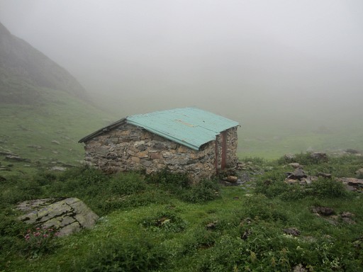 |
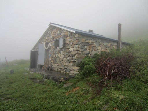
Then Cabane de Crusous suddenly emerges from the fog. I’ already lost the yellow trail but the direction is obvious: just descend along the valley. This picture: the cabin seen from the other side. |
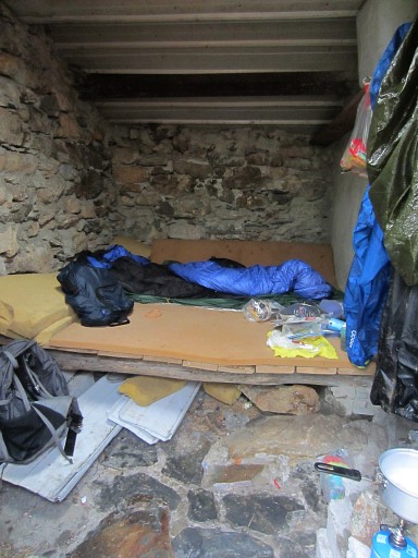 |
The cabane is a bit crampy & dirty but it's dry and cosy in its own way. I liked it. A running waterhose is just outside |