|
The
bordermarkers of the Pyrenees : all my trips
 |
|
| - wednesday 8 july
2015 - A sea of ferns |
 |
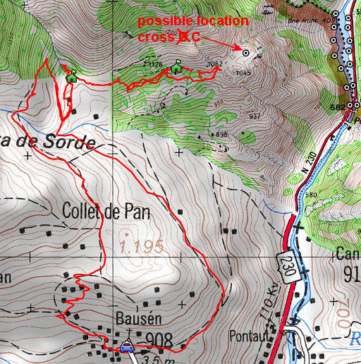 |
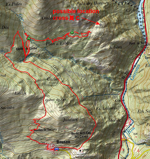
track-20150708.kml (click to open this trip in Google Earth or copy link to Google Maps; click right on this link to download gpx-version Summary: five days of exploring bordermarkers around Bossòst, together with Jan-Willem. Main targets: the unfindable bordermarkers 359, 364 and bm408III & IV. Today: from Bausen an expediton towards the (probable) spot of cross C of the "terrain indivis de Bidaoubous". For more information about this "terrain indivis" and its crosses: see this page. Weather: cloudy, some raindrops. |
 |
For
explanation of
the gps-coordinates and other cartographic backgrounds: see the cartography-page The gps-track has been partially corrected but there's still somes inaccuracy and misalignment at some points. Started at 11h, finish at 17h According to visugpx - distance : 11,5 km - cum. elevation gain : 724m - cum. elevation loss : 728m - total elevation: 1452m - altitude maxi : 1263m - altitude mini : 895m - altitude average : 1082m |
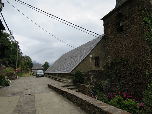 |
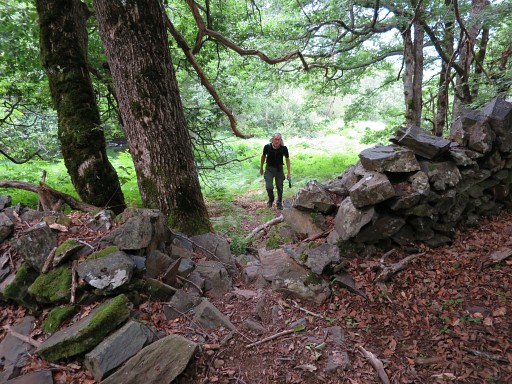
Our starting point: the pretty village of Bausen. |
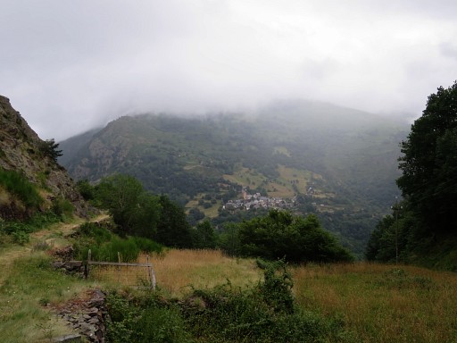 |
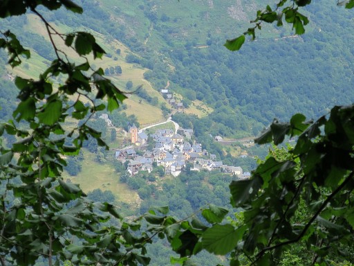
An easy start on a beautiful trail
circling around a hill-top and reveiling sights of the village of
Canejan in the far distance. |
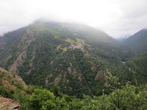 |
Another picture of Canejan. |
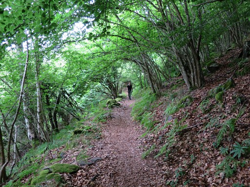 |
As said, a nice & quiet trail |
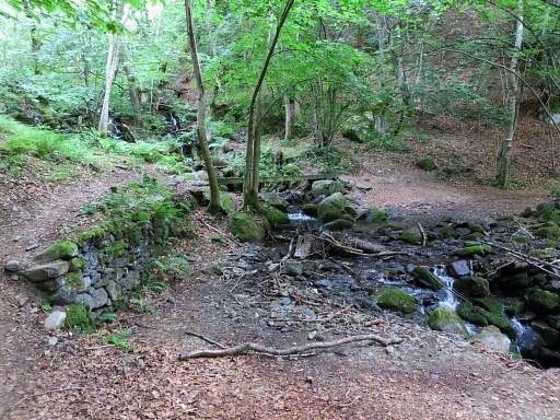 |
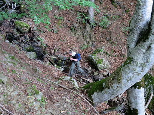
with a bend at this stream. |
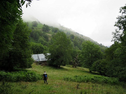 |
A bit further, we enter a meadow and beyond one or two cabanes (the Cabanes Carnac) we reach |
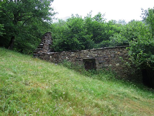 |
further on this third one. Just behind this cabin, we cross a stream |
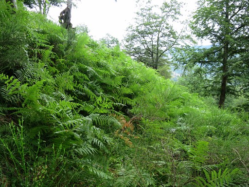 |
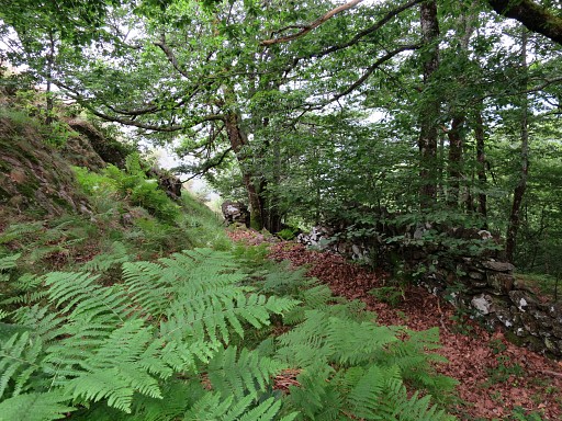
and enter more difficult terrain with
forest, fern and broom. |
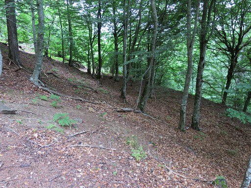 |
Sometimes it's easier on vague trails |
 |
or open spaces like this one. We have a waypoint of cross C to guide us and that's on some ridge further on. We can see a glimpse of a ridge far away on this picture. |
 |
Then there is this last cabane and |
 |
beyond it only rough terrain with forest and patches of fern with |
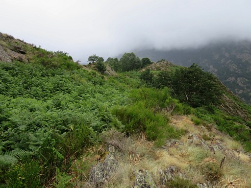 |
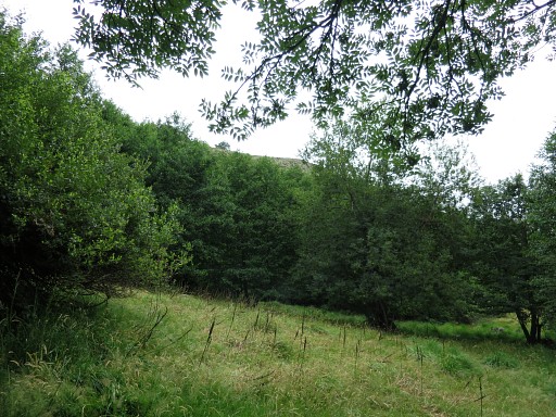
finally open terrain and a view of a rocky 'mail' in the distance at ± 200m. A 'mail' is a rocky outcrop on the mountain-slope. |
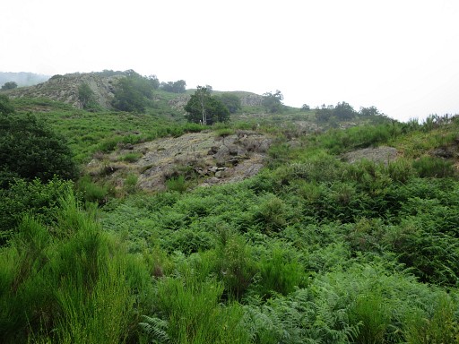 |
This picture: progressed a bit further
to the 'mail'. |
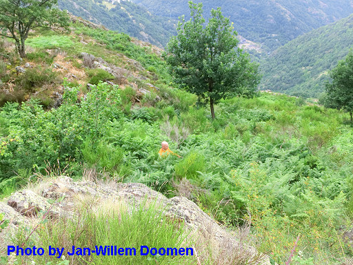 |
But in between is a large field of fern, a sea of fern as it were, with probably a rocky underground. |
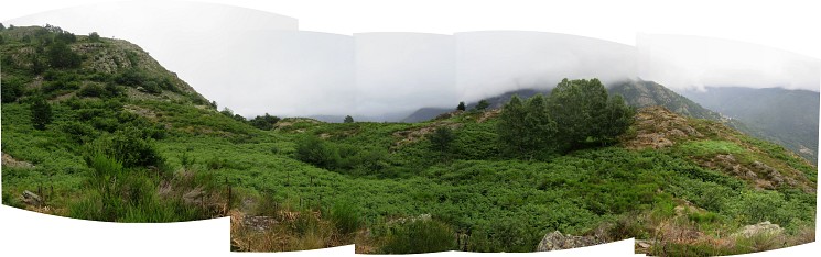 About this ± 180° panorama: this is how far we got. We have a good view of the terrain ahead and the probable place of cross C, somewhere in the middle of the panorama. But the fern and broom is too much for us. This terrain has to be tackled in early spring when the fern is still dormant. Climbing from here uphill along the ridge towards bm408 seems tough but not impossible, |
|
 |
We return which is not easy in this mainly pathless terrain with a lot of fern. Luckily I made some waypoints of the cabanes 'en route' to help us. |
 |
In the last part, crossing a stream and then through the meadows back to the trail. |
 |
Once back at the trail (GR211-2), we complete the circle and return to Bausen. This picture: another view of Canejan in the far distanc at the other end of the Garonne-valley. |
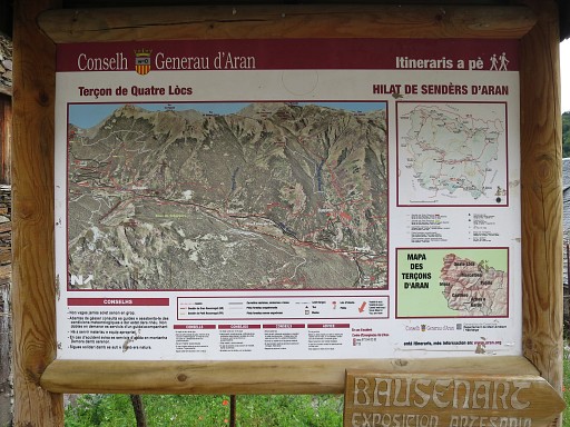 |
Back in the village, an information panel which interests me |
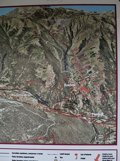 |
for the possible trails from Bausen towards the borderridge. As you can see, there's a dotted red trail uphill and a (white) dirtroad but both not going as far as the ridge itself. |