|
The
bordermarkers of the Pyrenees : all my trips
 |
|
| - tuesday 8 september
2015 - Charles Darrieu: mountain guide and porter |
 |
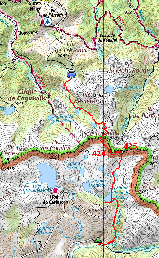 |
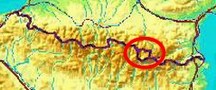
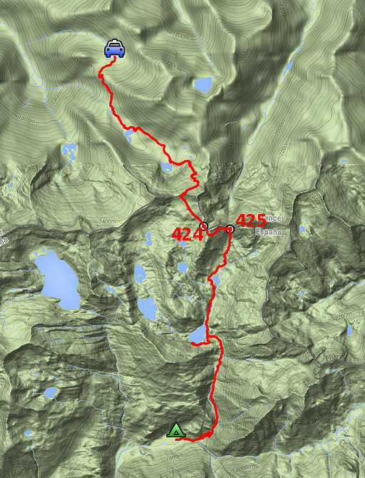
track-20150908.kml (click to open this trip in Google Earth or copy link to Google Maps; click right on this link to download gpx-version Summary: part of a 10-days trip to the Pyrenees, mainly meant as a reconnaissance for the GRPdesBf. This day is one of a week of backpacking from Guzet-Neige to Puigcerdà, traversing Andorra. Today: after being dropped by Charles in the mountains beyond Guzet-Neige, I climb to bm424 and traverse to bm425 and then continue S to Pla de Boavi. Weather: clear skies, sunny |
 |
For
explanation of
the gps-coordinates and other cartographic backgrounds: see the cartography-page The gps-track has not been manually corrected which explains the inaccuracy and misalignment at some points. GPS - 16,9 km - max H = 2453m - elevation gain: 1015m - time: 11.49h Started at 7.45 , break 13:15 - 14:00, finish at 19:30 = 11h net walking time |
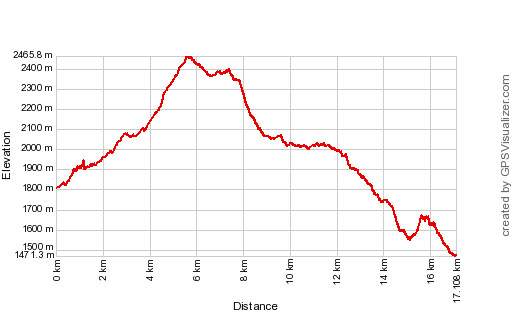 |
According to Gps-Track-Analyse - distance : 17.8 km - cum. elevation gain : 1741m - cum. elevation loss : 2078m - total elevation: 3818m - altitude maxi : 2466m - altitude mini : 1471m - altitude average : 1925m |
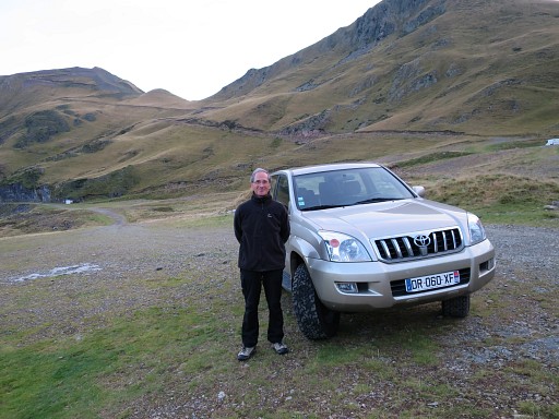 |
I spent the night at the house of Charles Darrieu who dropped me in the early morning in the mountains. |
 |
That's me, ready for a week of backpacking. According to Charles: packed like a mule. |
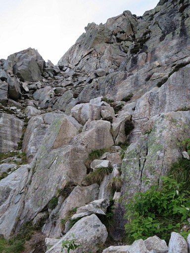 |
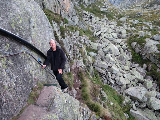
Charles guides me through the first part in the direction of the borderridge. This is one of two steep descents, luckily aided by iron grips. |
 |
Looking back at that rocky descent. |
 |
This is in fact the backyard of Charles who moves easily and self-assured over this kind of terrain. |
 |
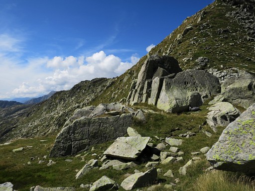
We are approaching the border-ridge but |
 |
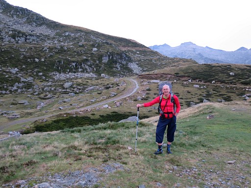
there's still some rock-climbing to do when we loose the trail. Charles - in his seventies - takes over my backpack and dances over the rocks like an 'isard'. I admire Charles. |
 |
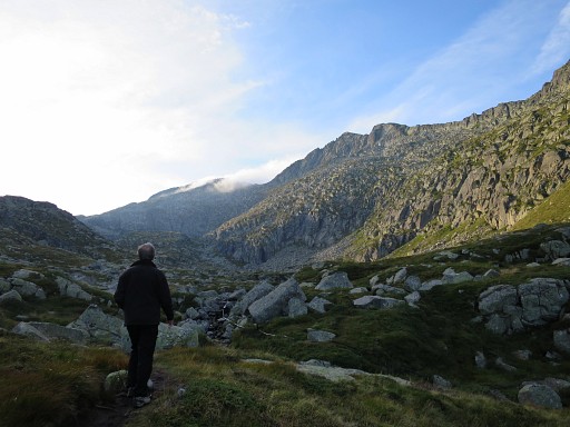
This is about where we part. |
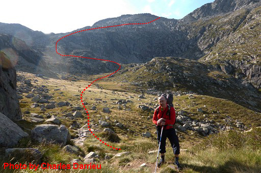 |
A last picture of me by Charles and a view of the approximate route ahead. |
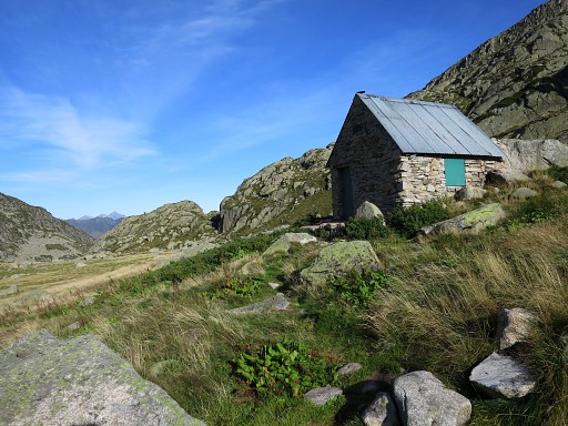 |
There's a cabin around here. |
 |
There's no waymarking but |
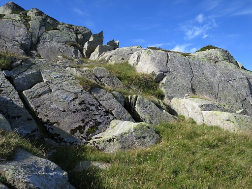 |
cairns guide me |
 |
uphill. |
 This is a view back. |
|
 |
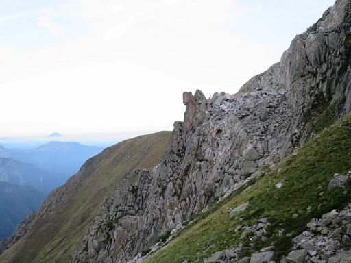
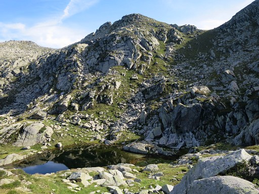
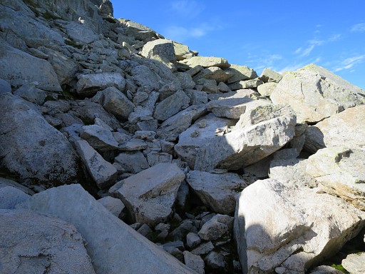
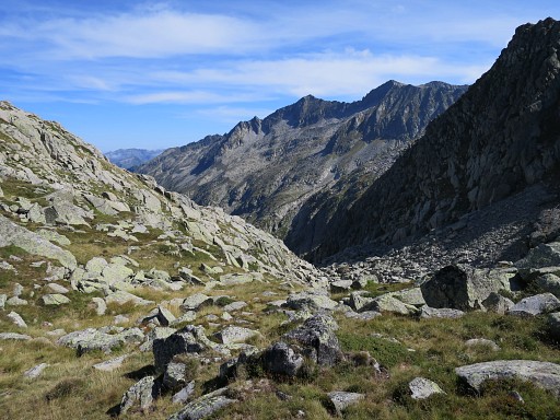
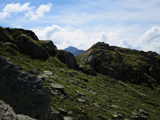
When getting close to the ridge, the cairns disappear or I losse them. But it's not difficult to proceed to the ridge which is now (this picture) close. |
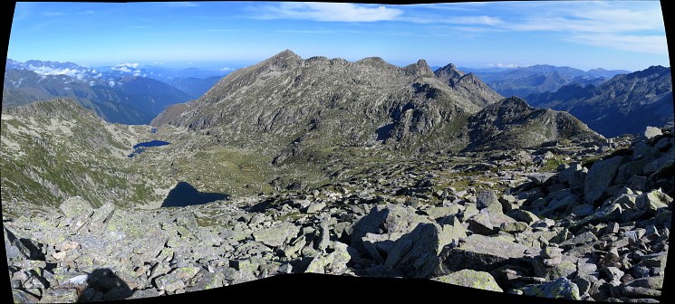
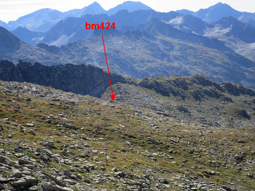
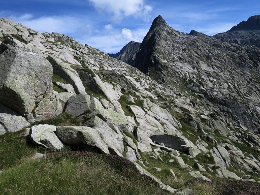
 Standing at the ridge and looking SE towards Port de Sounou (bm424). As you can see, the terrrain is easy to travers to the Port. |
|
 |
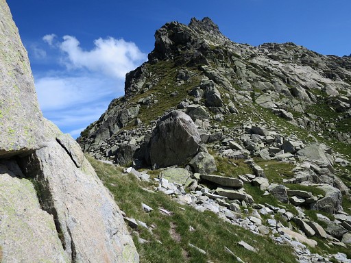
Getting closer to Port de Sounou (this is a zoomin) |
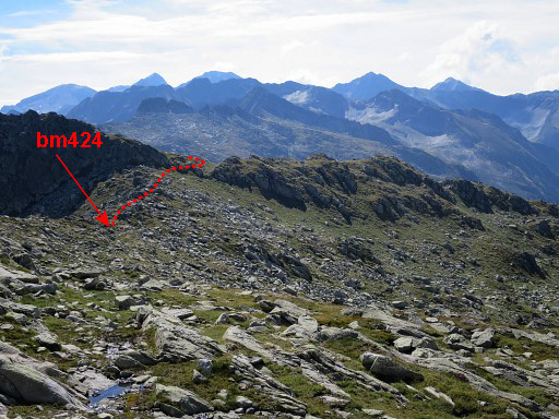 |
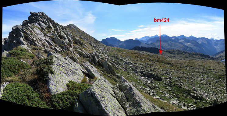
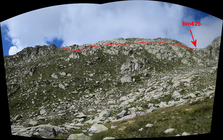
Getting nearer. Indicated: how to proceed beyond bm424 towards bm425. |
 |
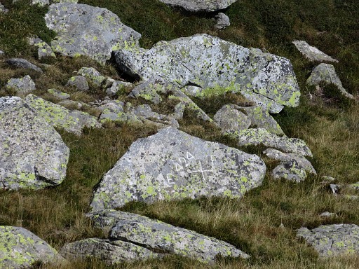
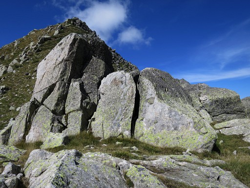
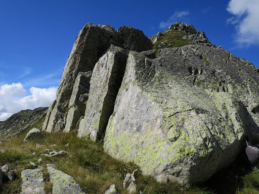
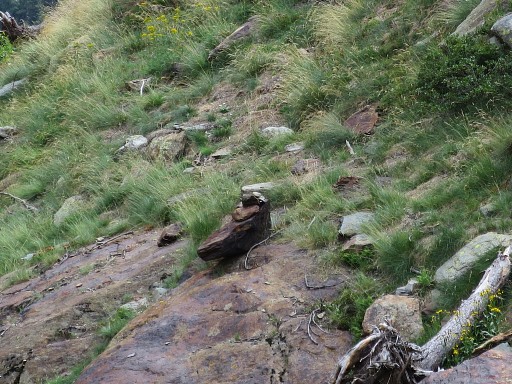
Bm424 is engraved on this rock and can be difficult to find. |
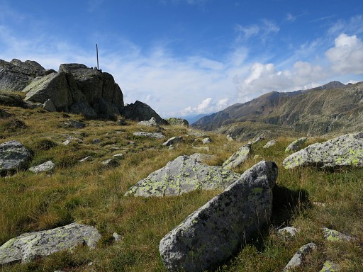 |
But this is the backside of bm424 and you can spot an iron pole on the rock nearby. That will make locating easier. |
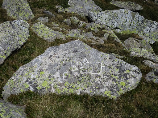 |
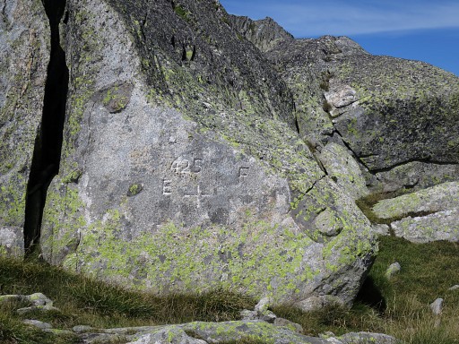
Bm424 with some chalk. |
 |
Bm424, looking towards France |
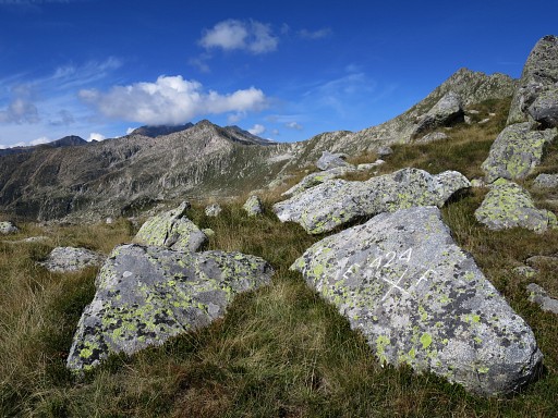 |
Bm424, looking NW where I came from. |
 |
Bm424, now seen from the iron pole. |
 |
Zoom-in of previous picture
|
 |
And a last view of the Port with its rocky descent into France. |
 |
From the Port, looking S-SW |
 |
Now proceeding SE to the ridge from where I can traverse to Port de Guillou (bm435) |
 |
Getting closer |
 |
and closer. |
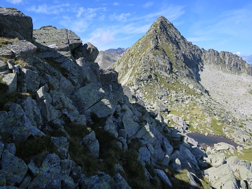
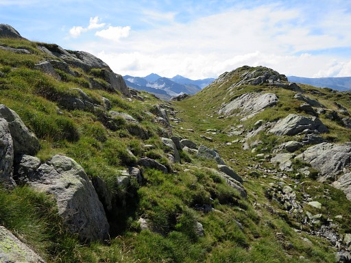
 Now I'm just across the ridge and looking NEE to Port de Guillou where bm425 is. |
|
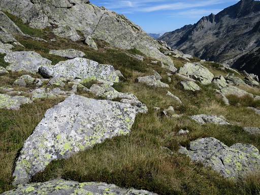
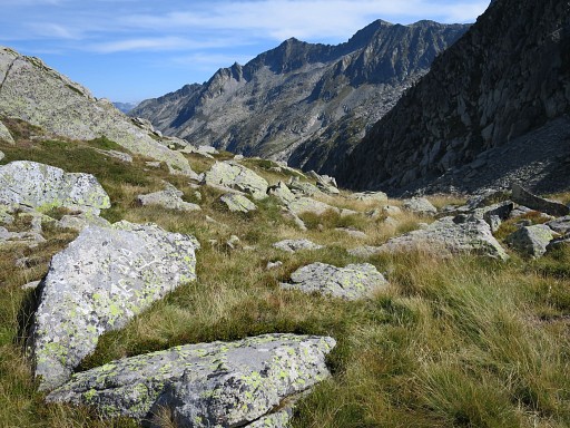
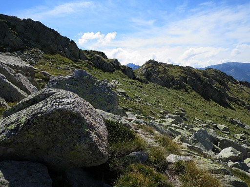
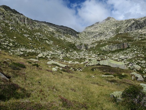
 There's no trail or waymarking and you have to proceed by trial and error over the terrain from one grassy strip to another towards the Port. But it's not difficult. |
|
 |
Getting closer |
 |
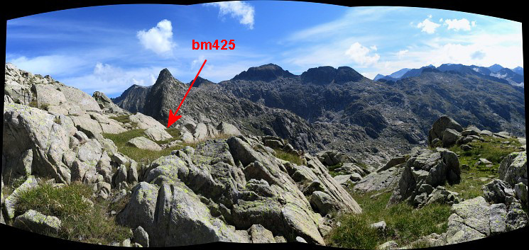
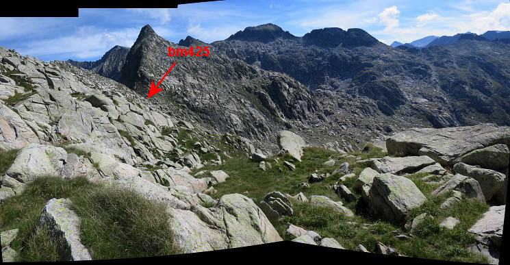
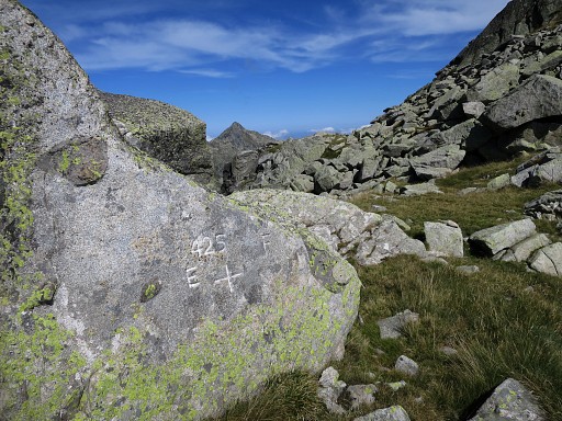
and closer. The large boulder in the middle of the Port is the carrier of bm425 |
 |
The boulder seen from the other side with bm425 engraved. |
 |
Bm425 |
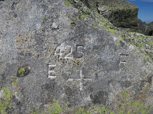 |
Bm425 |
 |
From the Port looking into France |
 |
Bm425 |
 |
Bm425 |
 |
Bm425 with a view along the mountain slope where I came from. I have a break here, feasting on the lunch which Charles gave me. |
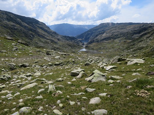 |
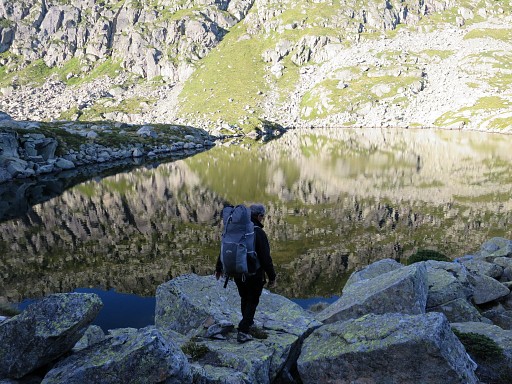
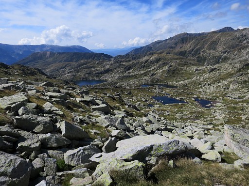
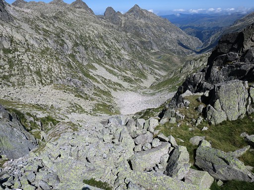
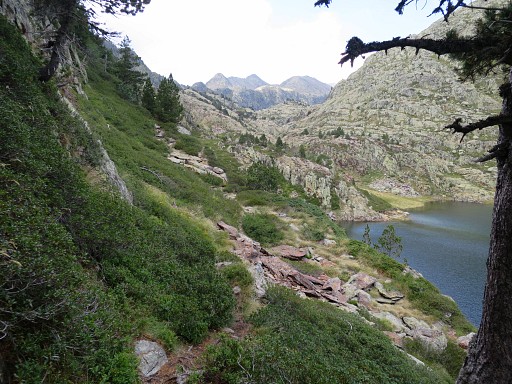
Looking S towards two lakes, I start to descend towards them. There's no trail or waymarking but the descent is easy. |
 On my way down, this view NW of the mountain slope whit the approximate route I did to traverse the mountainslope. |
|
 |
In the valley and looking back at Port de Guillou. |
 |
A stream starts in the valley. I climb over the small hill |
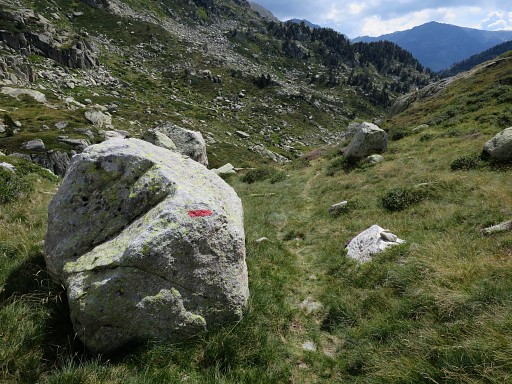 |
and red waymarks appear |
 |
which bring me |
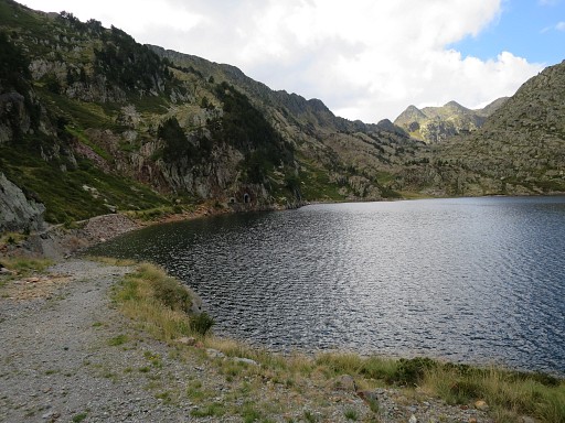
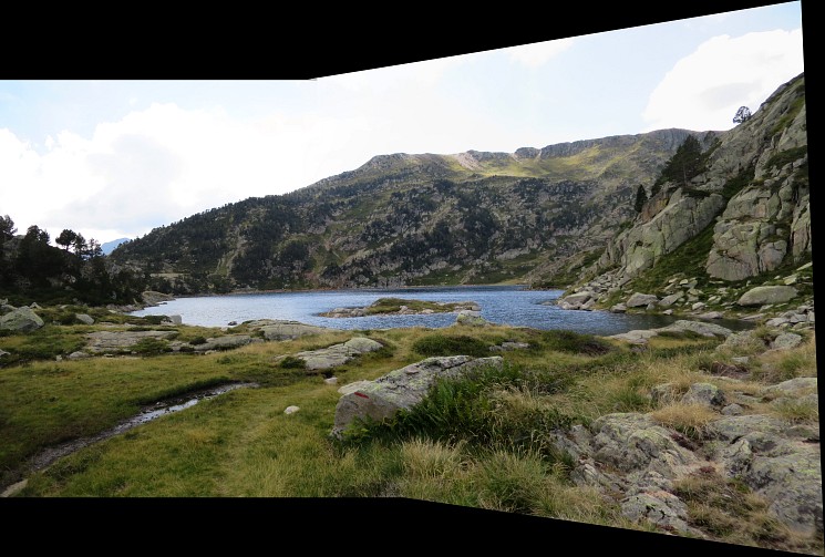 to the barrage-lake of Laguna Romedo de Baix |
|
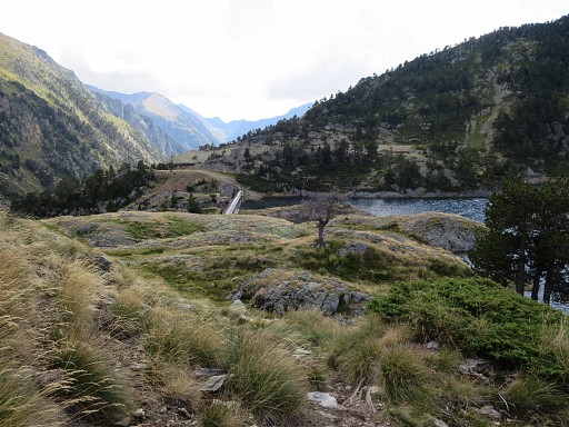 |
with the barrage in view now. To continue along the stream to Pla de Boavi, I don't have to cross the barrage. |
 |
but I want to check a rocky passage at the S-side of the lake. |
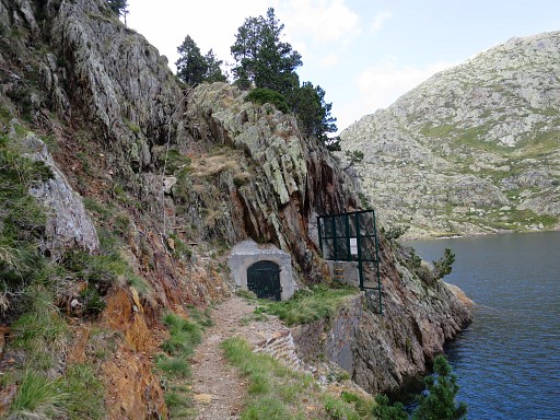 |
This is that rocky passage, secured by a cord, which I remember as not being easy. |
 |
When you follow the GRPdesBF main route (and skip the variant doing bm424 and 425) you need to use this passage. This picture: on top of that passage and looking NW where the main route comes from. |
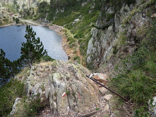 |
This picture: on top of the passage and looking downhill. In fact it's not difficult to descend along the cord when you take your time. Note the red/white waymarks: probably the cross-frontier GR using Port de l'Artigue. |
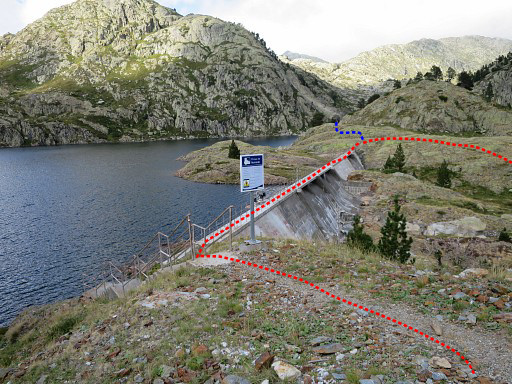 |
Back at the barrage. At the other side is the meetingpoint of the main trail of the GRPdesBF and the variant doing bm424-425 (the blue dotted line). That's the end of stage 36. From that meeting point, the next stage starts. It descends along the stream. |
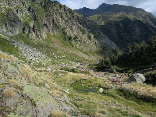 |
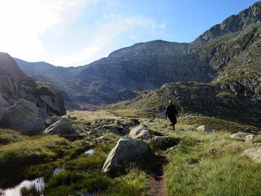
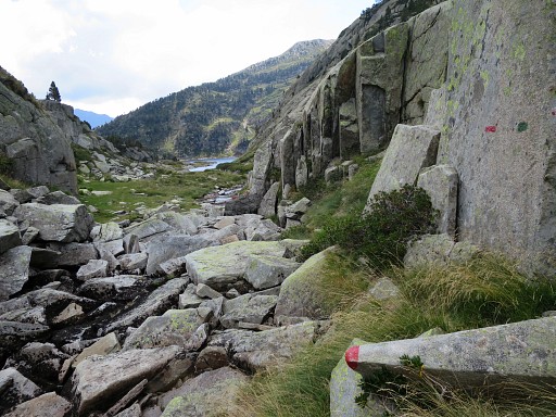
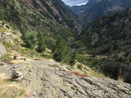
From the N-side of the barrage I proceed E, then S descending along the stream. There's a vague trail |
 |
and now and then cairns to help you. There's one small steep descent but manageable. |
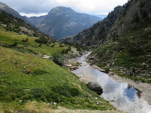 |
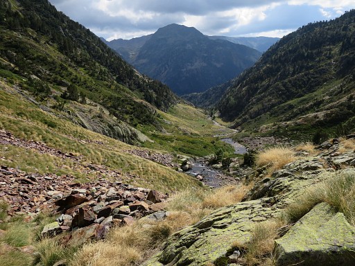
The stream gets gradually a bit larger |
 |
while the trail sometimes has to climb to avoid steep parts along the stream. |
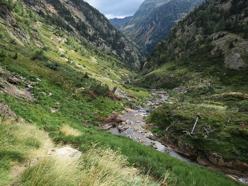 |
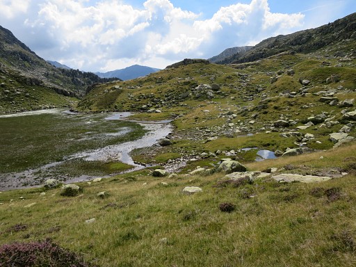
Then you have to get attentive. At some point you have to cross the stream. But where? Well, not here, but further downstream. |
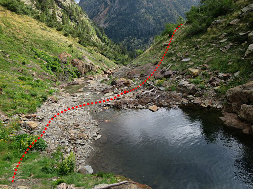 |
The crossing is at this point. It's at a kind of pond in the stream. |
 |
You can spot cairns at the other side. |
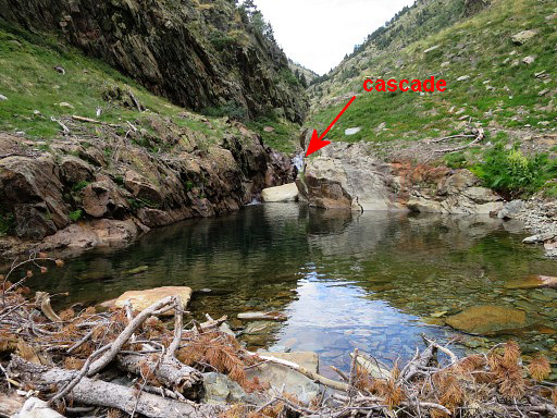 |
Looking back: the 'pond' and the small cascade which feeds it. This is a quite characteristic spot and you shouldn't miss it as such. |
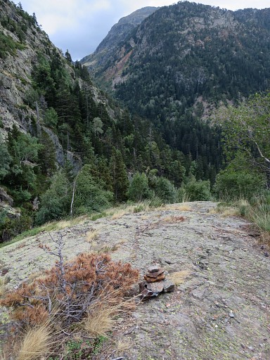 |
The cairns first guide me uphill to this point and then through the forest to Pla de Boavi. BUT: although there's an abundance of cairns in the forest, I loose the trail and have a hard time finding it back. ADVISE: walk from one cairn to the next, each time remembering where the previous one is. As said: there are a lot of cairns and the next one can never be far away. |
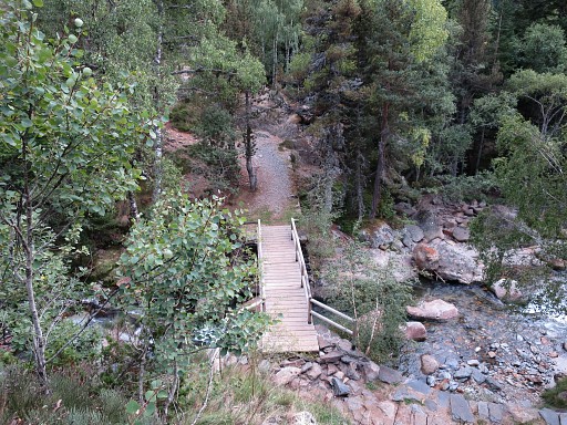 |
Finally, I arrive at Pla Boavi but first coming along (but not crossing) this footbridge. |
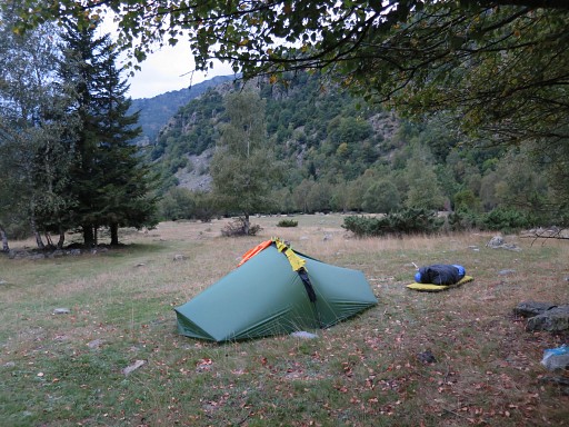 |
Pla de Boavi, a perfect spot for a bivouac. It has been a long but nice day. It's already late and it darkens quickly, animal sounds startle me. I realize that the absence of cattle with their ringing bells has made it a quiet and serene day. |