|
The
bordermarkers of the Pyrenees : all my trips
 |
|
| -
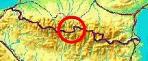
thursday 15 september
2016 - Trying a shortcut, from Hospice de France |
 |
 |
track-20160915.kml (click to open this trip in Google Earth or copy link to Google Maps; click right on this link to download gpx-version Summary: Part of a 9-days trip to the Pyrenees, covering various targets from east to west. Today: from Hospice de France trying a shortcut within the GRPdesBF-331-333-stage. Basecamp is the camping Las Espalias in Bossòst Weather: very windy, chilly |
 |
For
explanation of
the gps-coordinates and other cartographic backgrounds: see the cartography-page The gps-track has not been manually corrected which explains the inaccuracy and misalignment at some points. Started at 9:45 , finish at 14:30 |
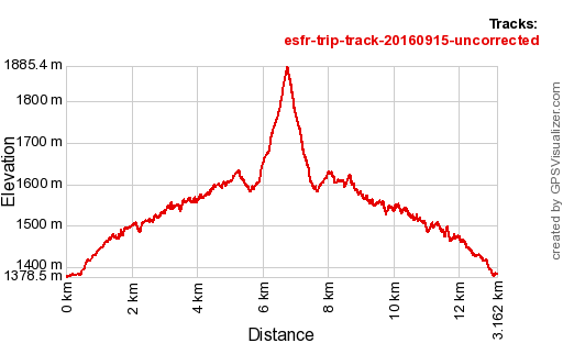 |
According
to Gps-Track-Analyse - distance : 13,8 km - cum. elevation gain : 1592m - cum. elevation loss : 1587m - total elevation: 3178m - altitude maxi : 1885m - altitude mini : 1378m - altitude average : 1482m |
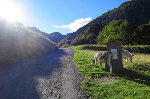 |
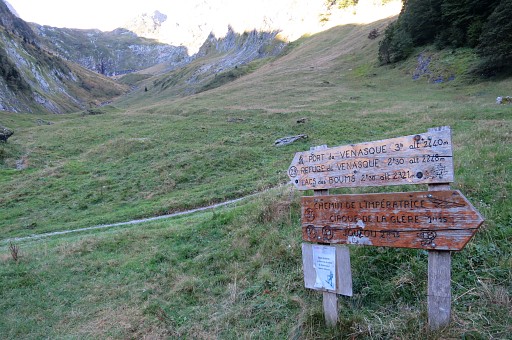
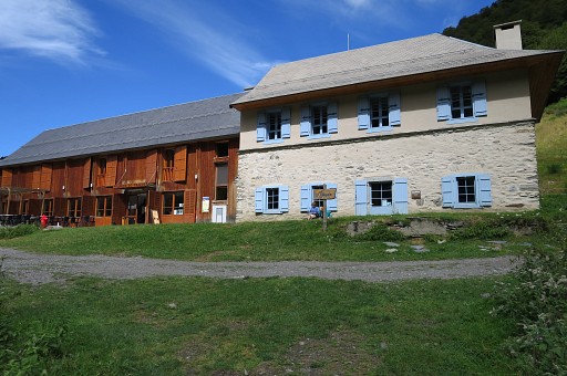
Starting point Hospice de France (near Bagnères-de-Luchon). Some donkeys roaming around here. |
|
It's a popular starting-point for mountain hikes, especially to the iconic Port de Vénasque (bm332). |
|
|
|
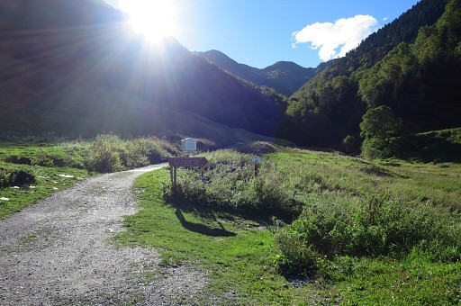
I have passed Hospice de France and look back. |
|
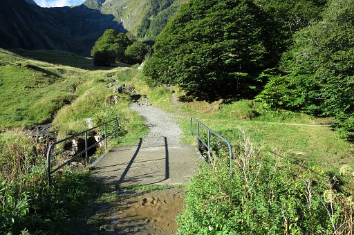
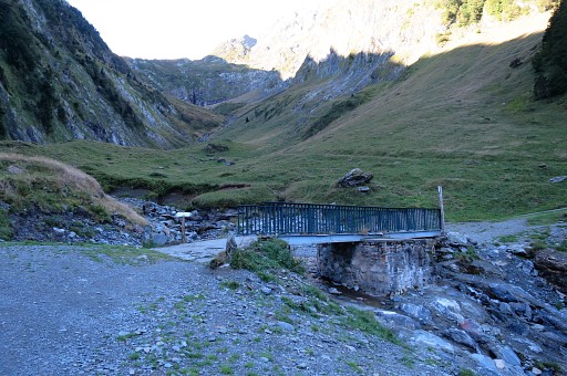
Last bridge before the winding ascent to Port de Vénasque starts. |
|
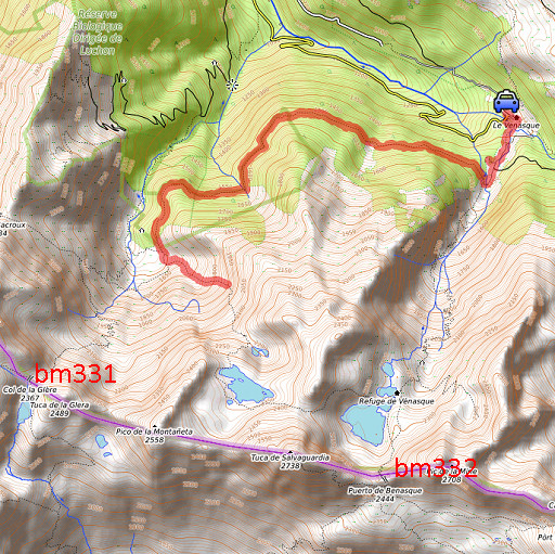
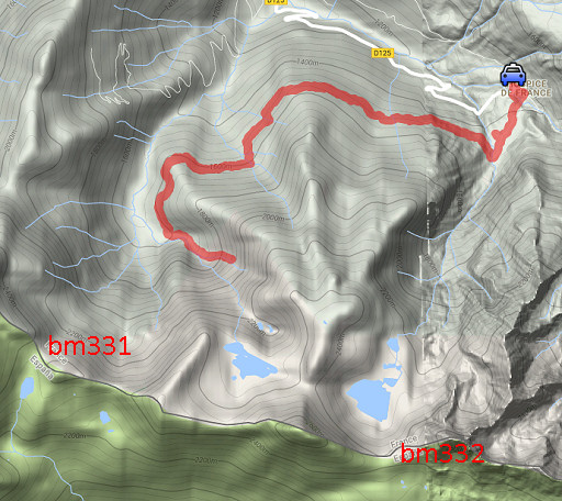
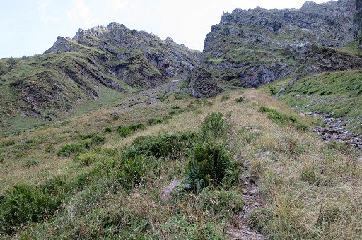
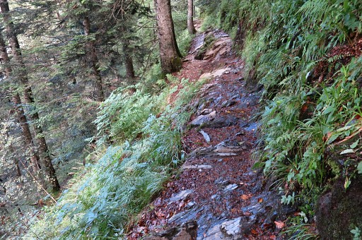
But I turn right after the bridge, taking the Chemin de l'impératrice. That's a trail along the forested hillside towards the Cirque de la Glère and Port de la Glère (bm331). |
|
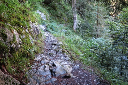
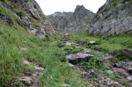
It's a 1,5h walk along a nice and mostly easy path but eroded at some parts. |
|
For example here. |
|
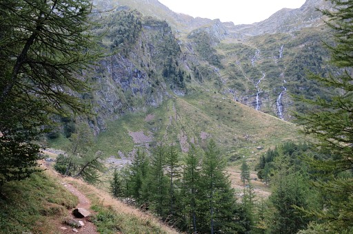
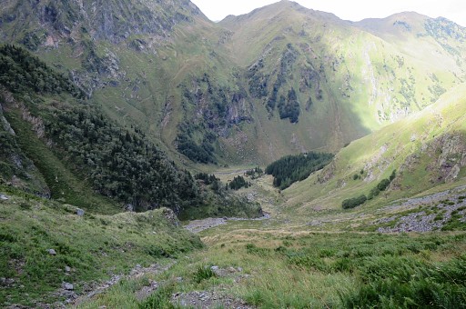
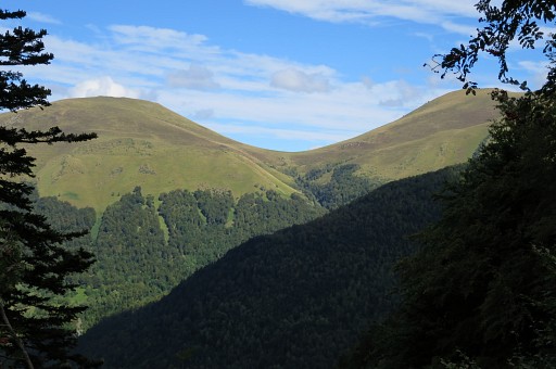
Here I leave the forest: the Cirque de la Glère lies ahead. At the foot of the Cirque there are options for a bivouac. |
|
But my goal is this valley where the ruisseau de la Montagnette descends from Lac de la Montagnette. When having descended from Port de la Glère, this might be a shortcut to Port de Vénasque. |
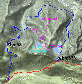 |
Let's show it on a map. I found this on the internet on various webpages. On Google Earth we can spot the trails involved and I made this kml-route of it. |
|
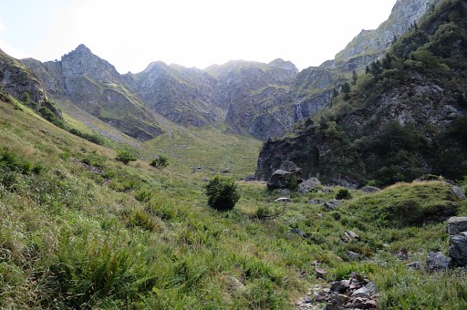
I start climbing. There are trails and cairns and |
|
navigating your way up is no problem. |
|
But as you get higher, it gets steeper and steeper. That doesn't show well on this picture |
 |
but is better to notice on this one. Finally it gets too steep for me, considering that the GRPdesBF walker I have in mind carries a backpack for a multi-day hike including bivouac equipment. So I give up and return.. |
|
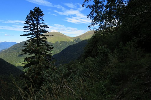
On my way back along the Chemin de l'Impératrice, this view towards |
|
Col de Barèges (bm356) |
|
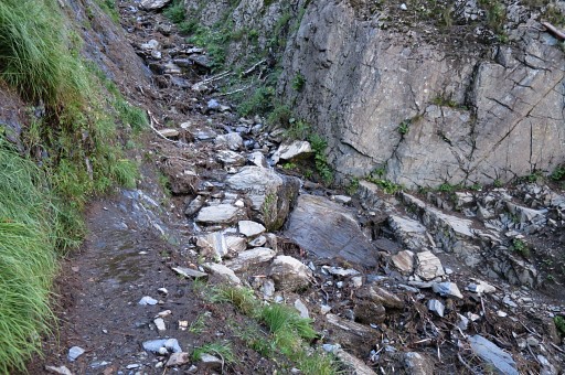
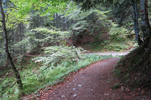
At some parts of the trail, you have to be careful while |
|
most of it provides a smooth and pleasant walk. |
|
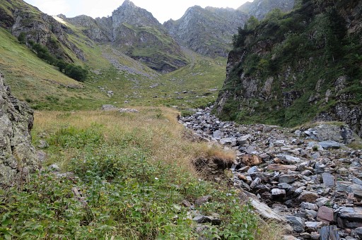
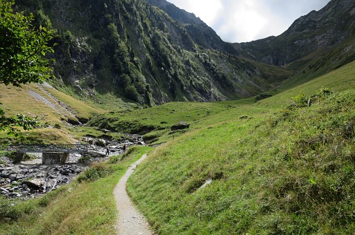
I'm back at the valley leading up to Port de Vénasque. This is a popular hiking area and I suppose that a bivouac here in the open is not allowed. |
|
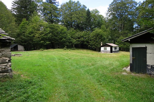
But I found these cabins, away from the main trails, where you might find a quiet spot. Streaming water is not far away. |
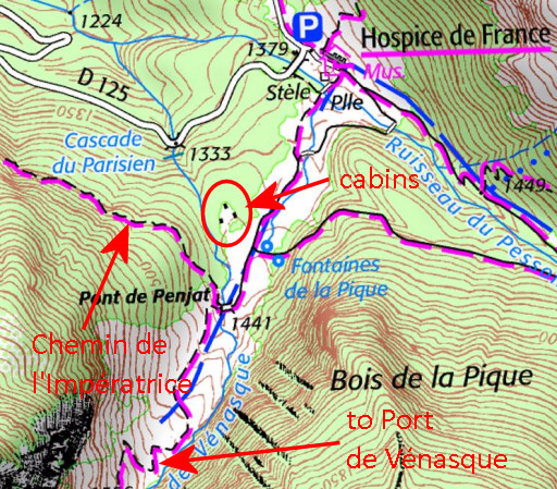 |
This map shows where they are. |
|
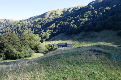
Hospice de France has become a pleasant hotel-café-restaurant. The next day I drive to Lourdes for two day of resting. |