|
The
bordermarkers of the Pyrenees : all my trips
 |
|
| -
saturday 25 august
2018 - Redoing the bm409-submarkers |
 |
 |
Summary:
one of 8 solo daytrips in
the Pyrenees, in the area of Haute-Garonne near Bagnères-de-Luchon, in
order to redo the bordermarker-range no. 331 to 417. Today: redoing - once again - the bm409-submarkers but also a check of some parts of the GRPdesBF-route. Weather: sunny and cloudy |
 track-20180825.kml
(click to open this trip in Google Earth or copy link to Google Maps; click right on this link to download gpx-version). The gps-track has not been manually corrected which explains the inaccuracy and misalignment at some points. For cartographic backgrounds: see the cartography-page Gps-waypoints of all bordermarkers (most recent version): kml: esfr-bordermarkers-all-waypoints.kml gpx: esfr-bordermarkers-all-waypoints.gpx |
|
 |
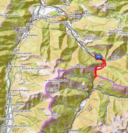
According to Garmin
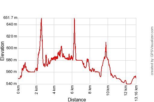
Basecamp: Distance: 13,2 km Max-height: 652m Min-height: 540m Elevation: +665m -665m Total elevation:1330m Start 10:37 Finish 16:50 Total time: 6:13 |
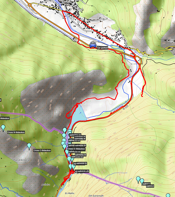
 | I park my car around here click photo to enlarge |
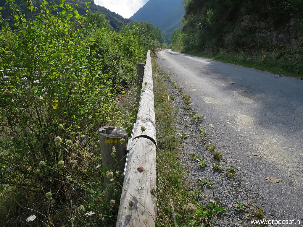 | and follow the road ahead, towards the Garonne-barrage and bm409. I spot yellow waymarks. click photo to enlarge |
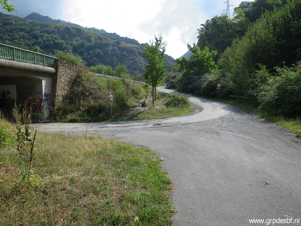
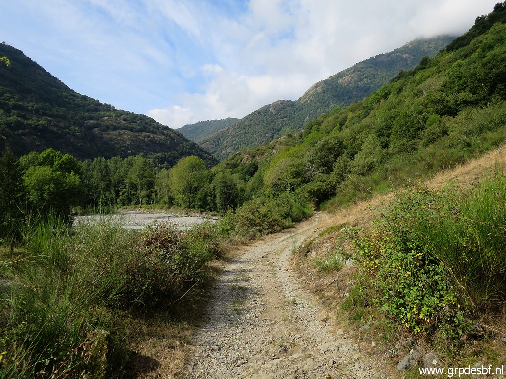
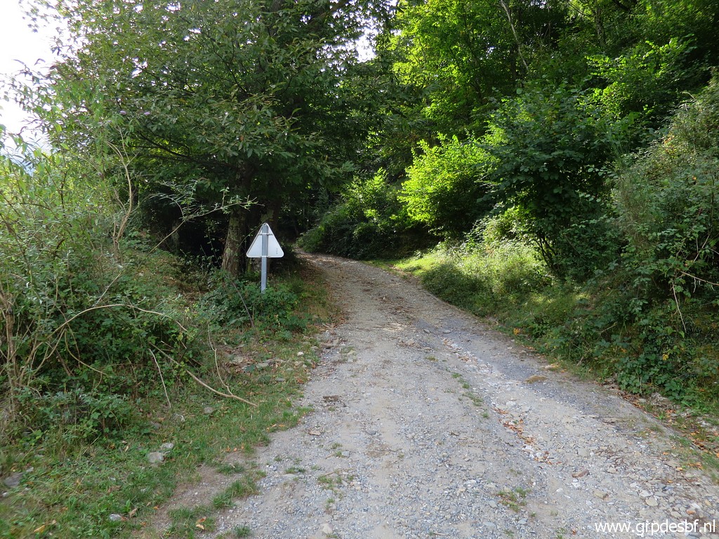 | The road becomes a dirtroad. click photo to enlarge |
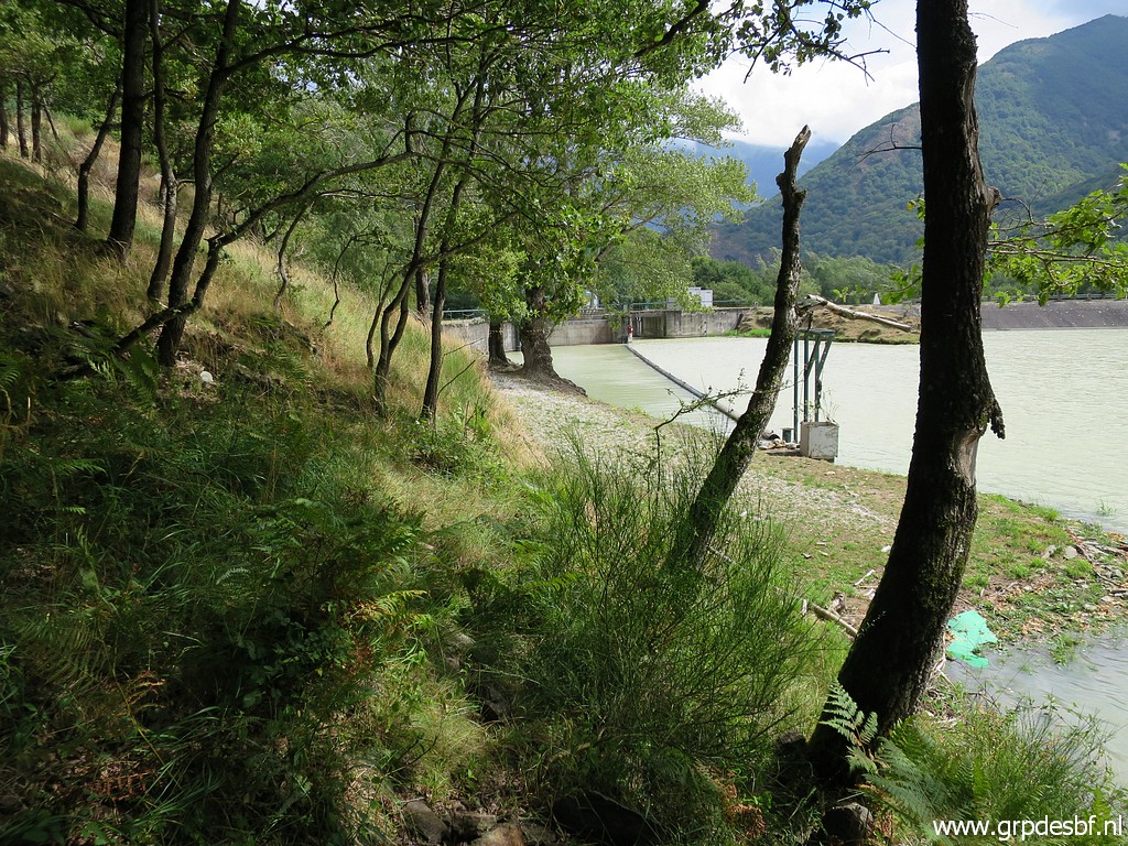
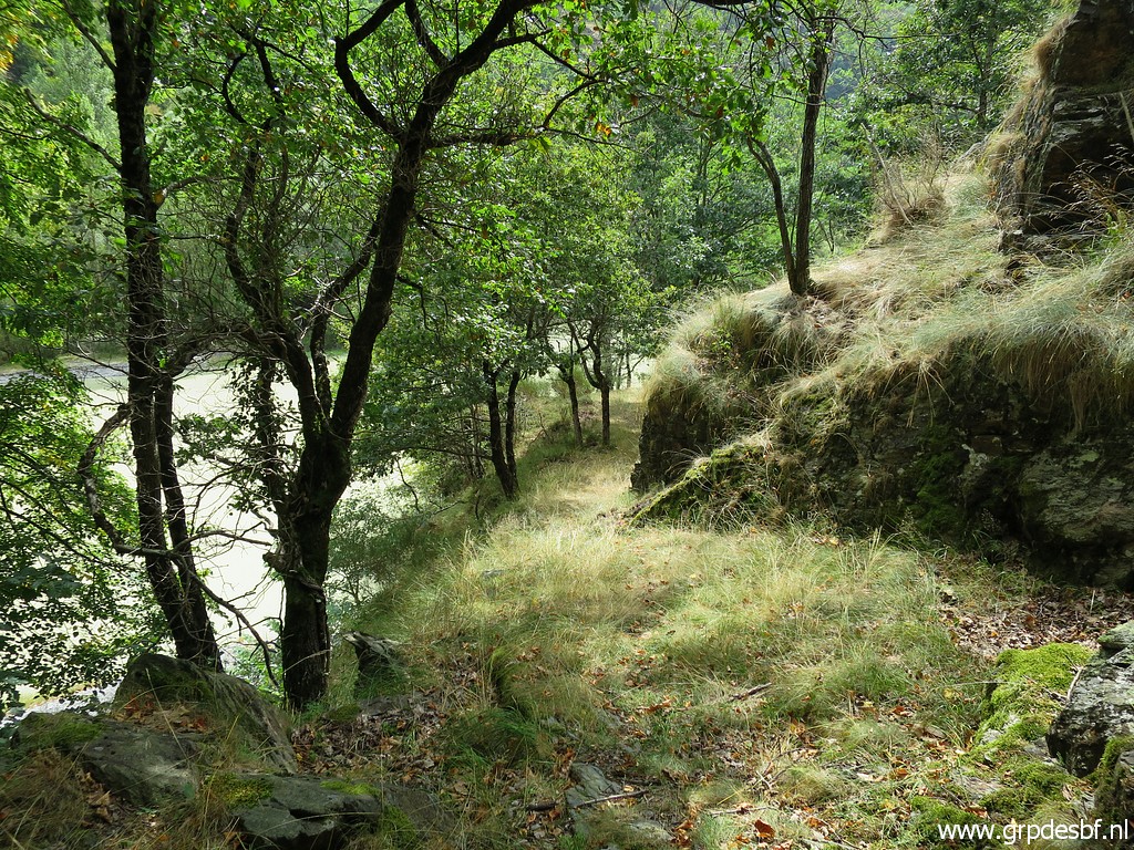
 | The Garonne to the left. click photo to enlarge |
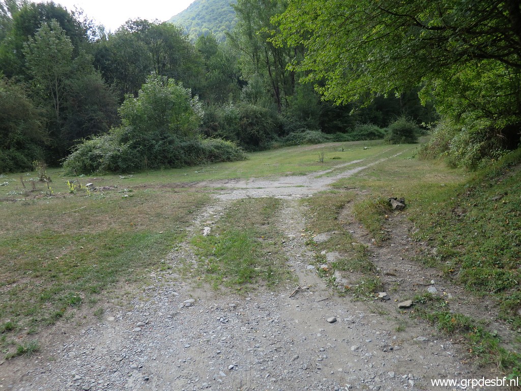
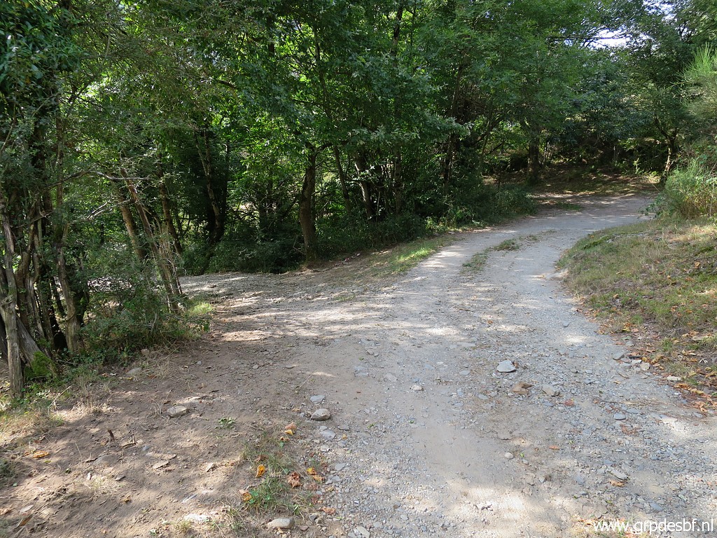 | At this bifurcation, go straigh ahead. click photo to enlarge |
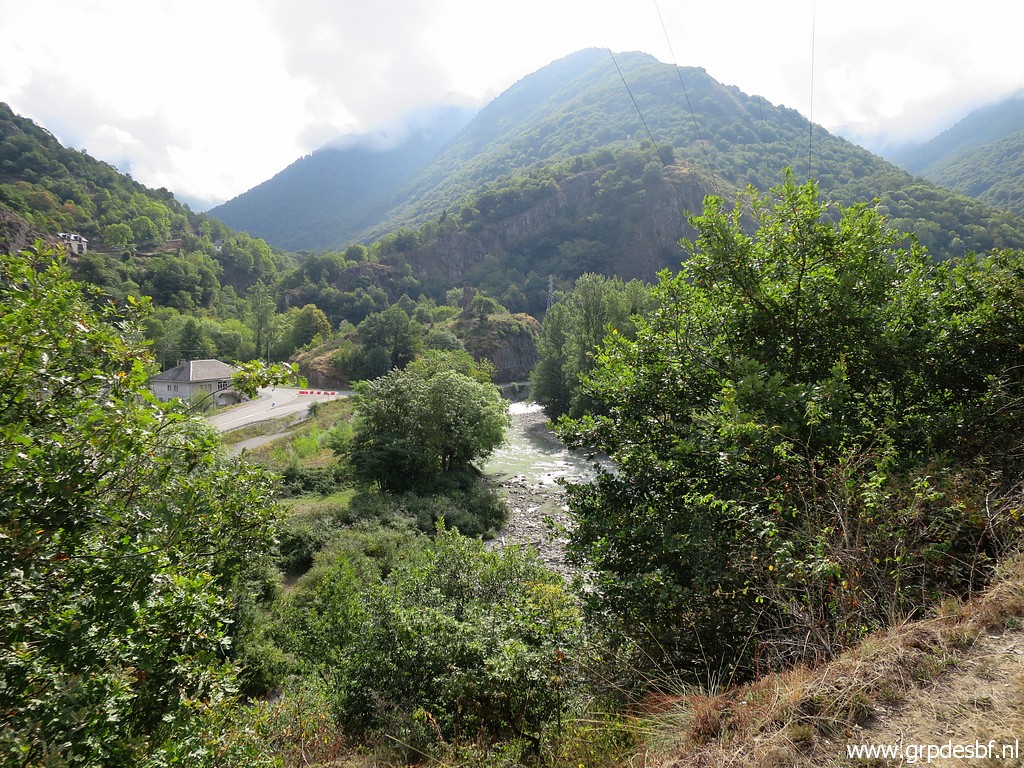
 | On a open part of the dirtroad, there is a view to click photo to enlarge |
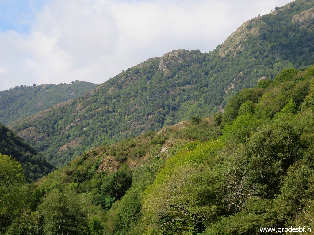 | the southern ridge of the "terrain individis de Bidaubus". click photo to enlarge |
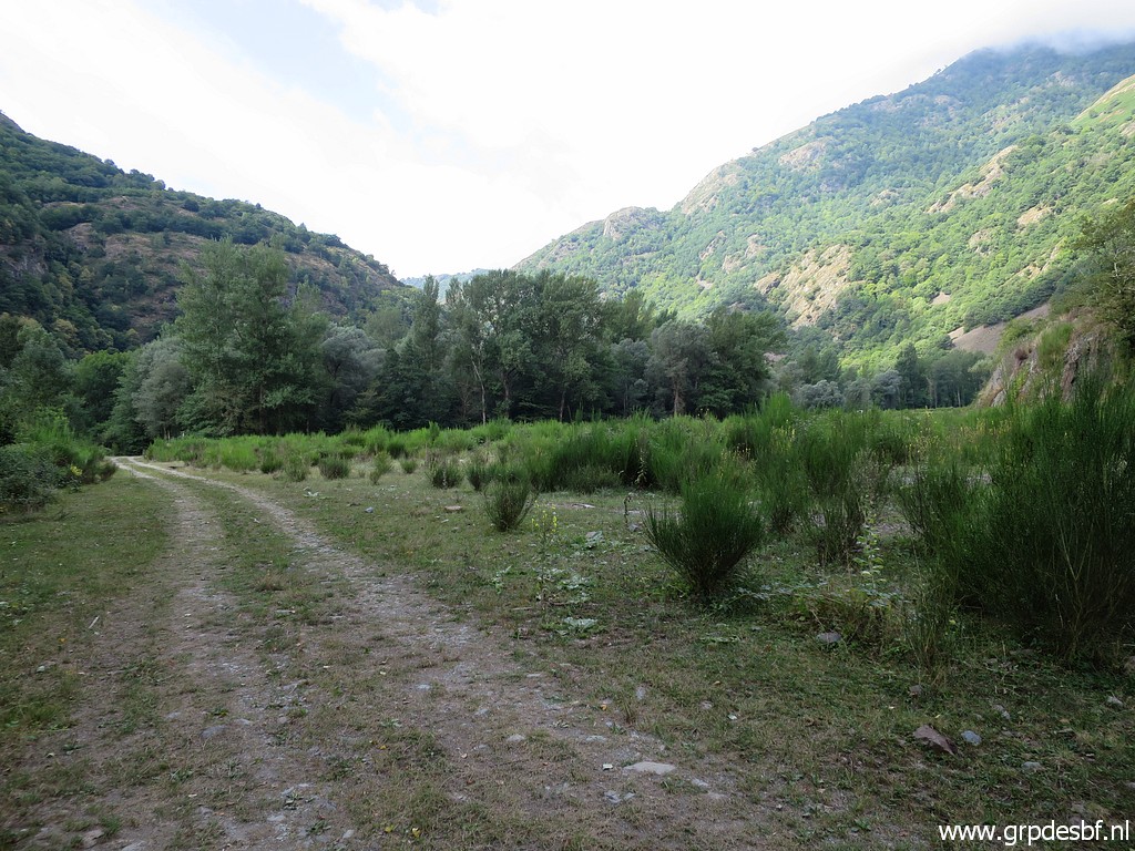
 | A possible spot for a bivouac. One problem: no watersource nearby. click photo to enlarge |
 | I reach an open space where the trees were chopped several years ago. It is now covered with broom. I keep following the dirtroad (apparently with a new course after the chopping) and click photo to enlarge |
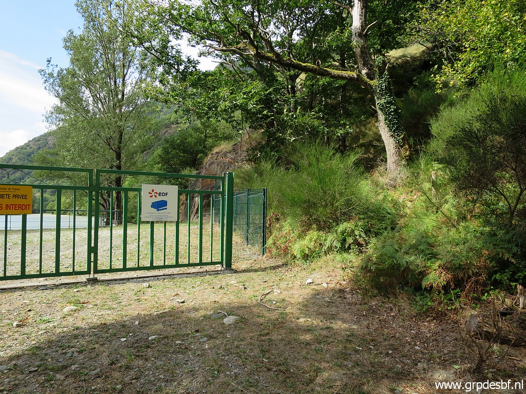
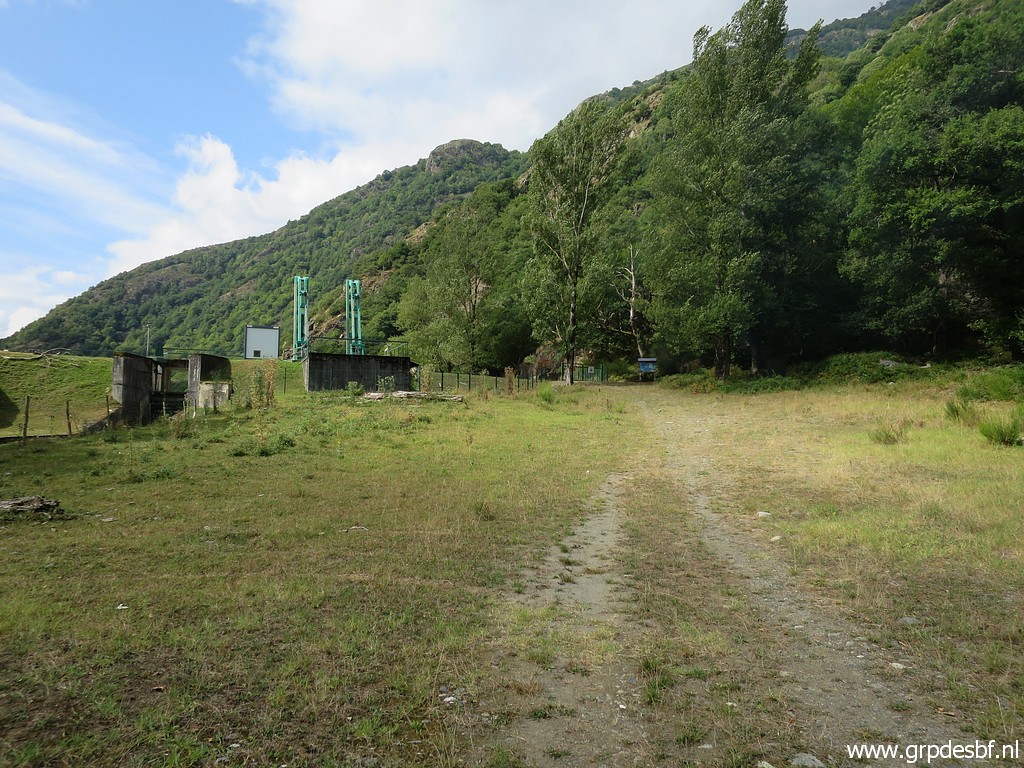 | arrive at the premises of the Garonne-barrage click photo to enlarge |
 | with a great potentential for flat terrain camping but unaccessible by its fence. click photo to enlarge |
 | End of the dirtroad. Here I have to enter the forest (along the big tree) along the barrage. click photo to enlarge |
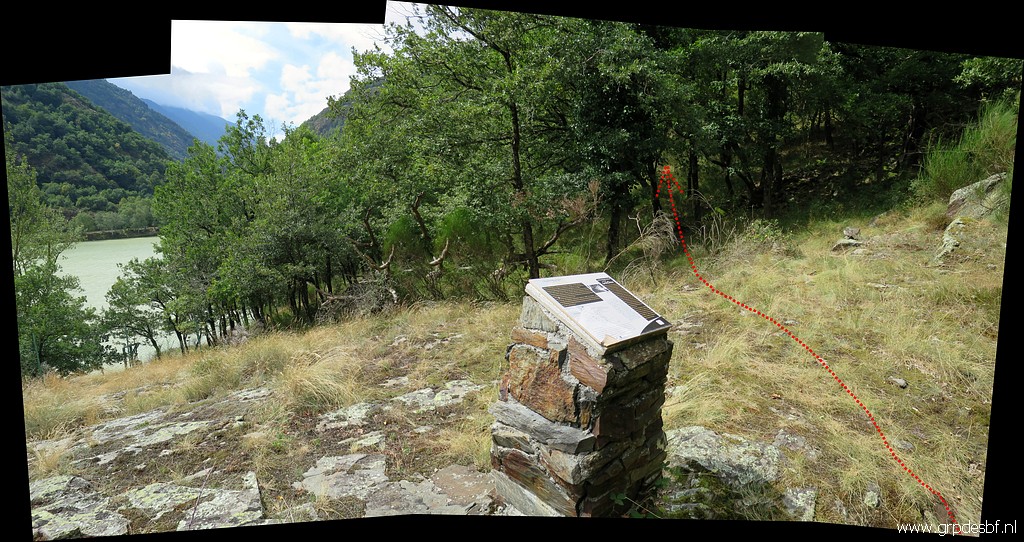
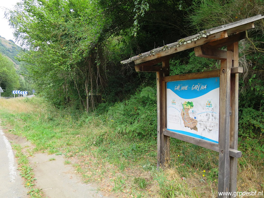
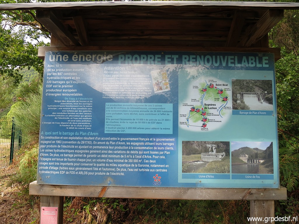 | An information panel click photo to enlarge |
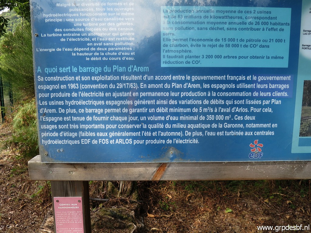 | with a hydrological explanation. click photo to enlarge |
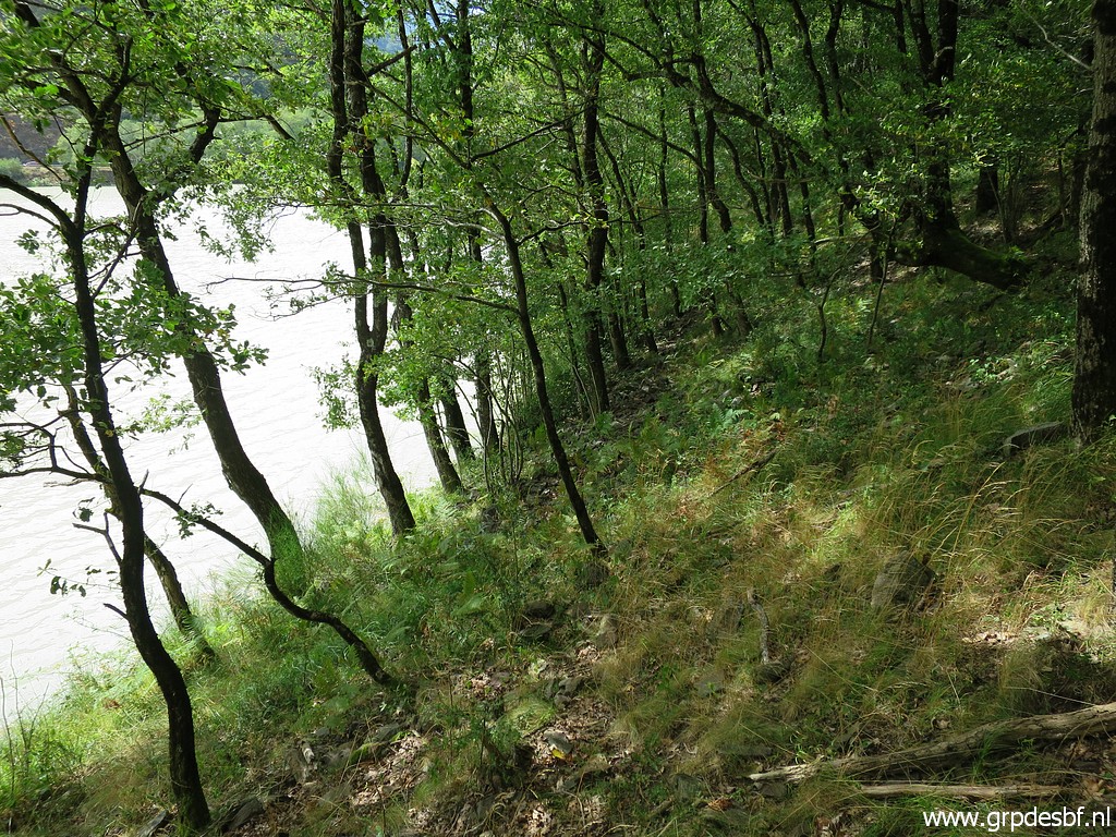
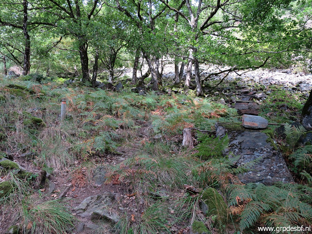 | I have entered the forest. Note the little post at the left. It used to be a well-kept nature-trail here. click photo to enlarge |
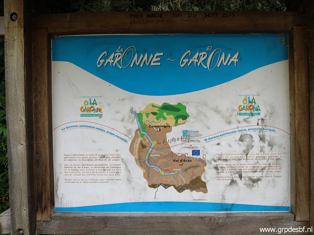
 | Another information panel click photo to enlarge |
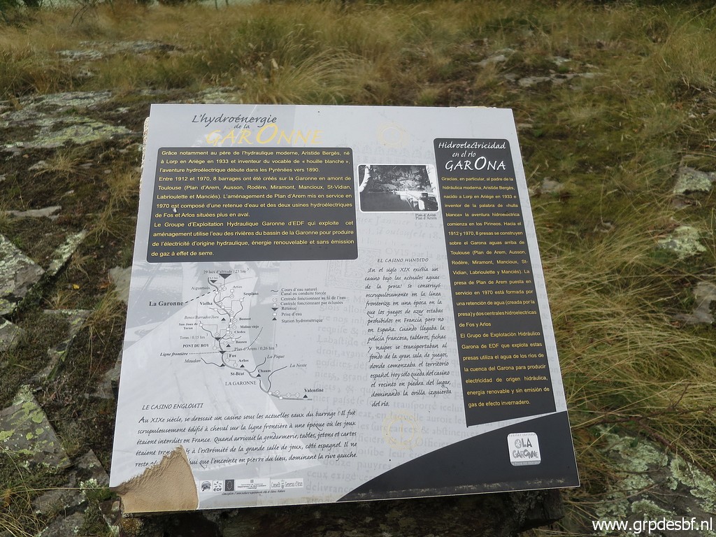 | about the Garonne with click photo to enlarge |
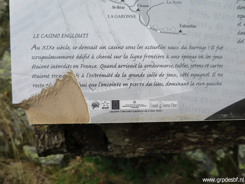 | extra
information about the former Spanish casino just at the borderline
further on. Its original spot is now under the waterline of the barrage. The casino was accessible from France where gambling was apparently forbidden. click photo to enlarge |
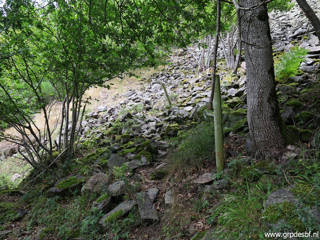
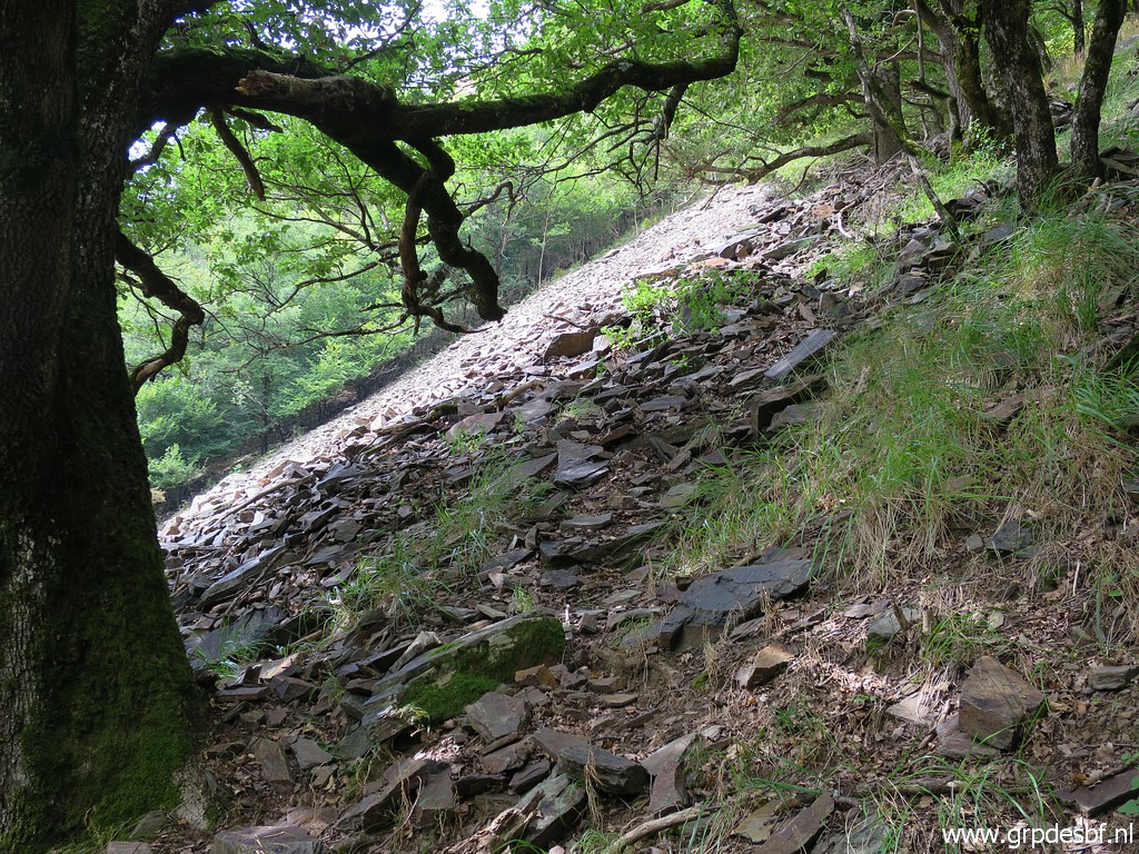 | I follow a trail which brings me too high: at the top of a stone-fall while the trail I remember is at his bottom. click photo to enlarge |
 | I descend and then spot click photo to enlarge |
 | a waymark-post. That's from the trail I remembered. click photo to enlarge |
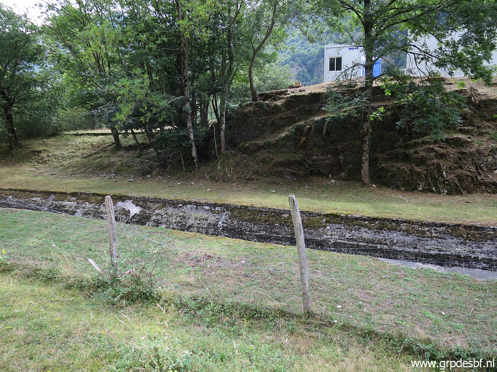
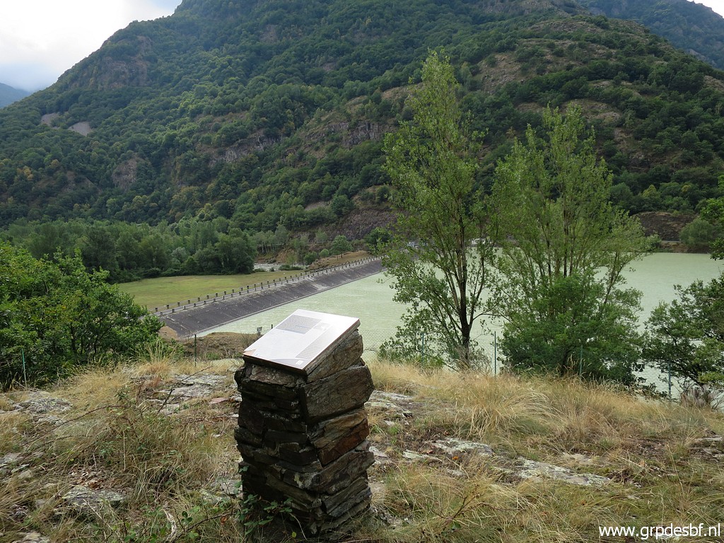
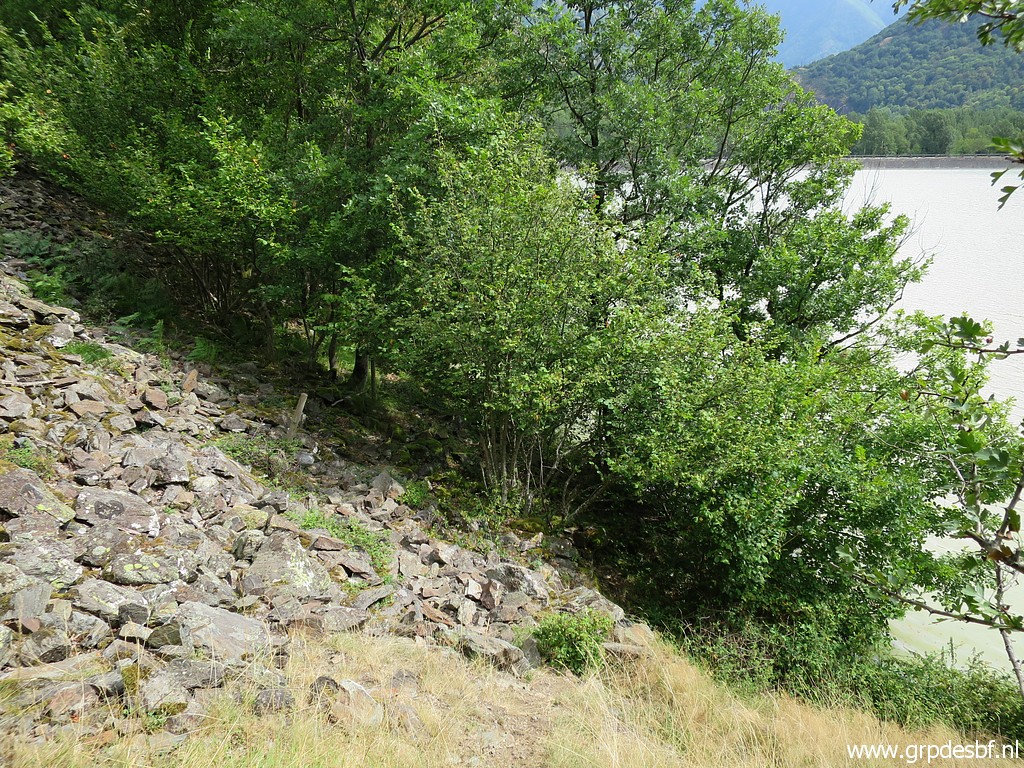
 | I walk the trail back for a check where I went wrong and it brings me along the barrage-lake to its dam. click photo to enlarge |
 | Back at the information panel. In red the trail to take from here. click photo to enlarge |
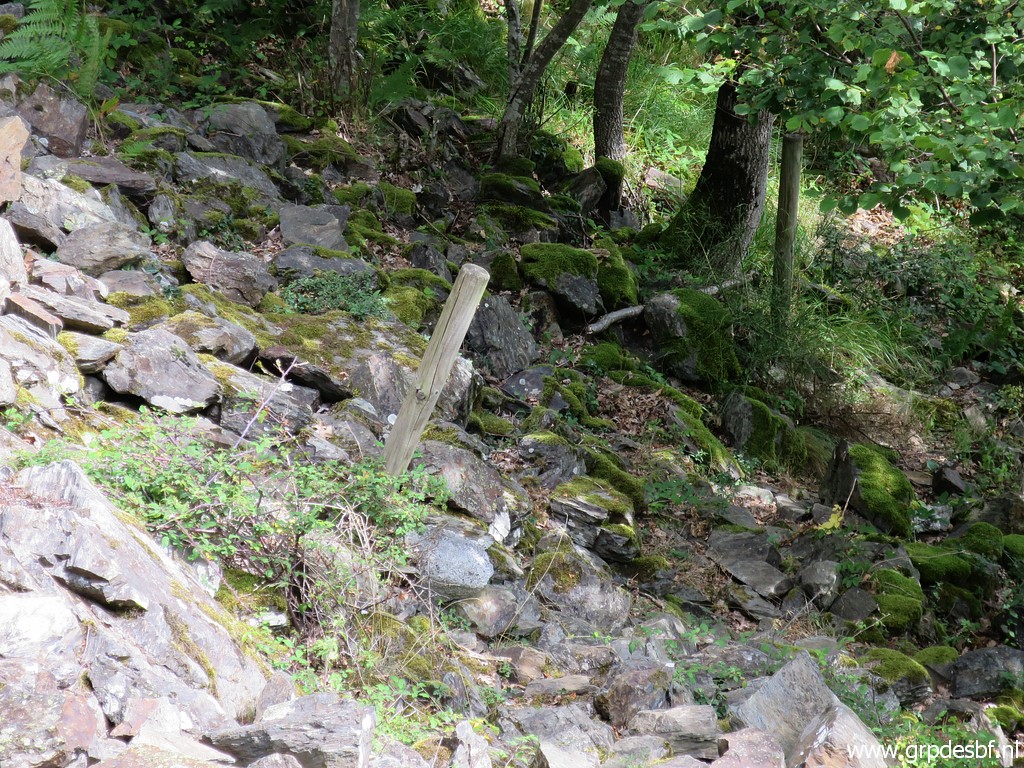
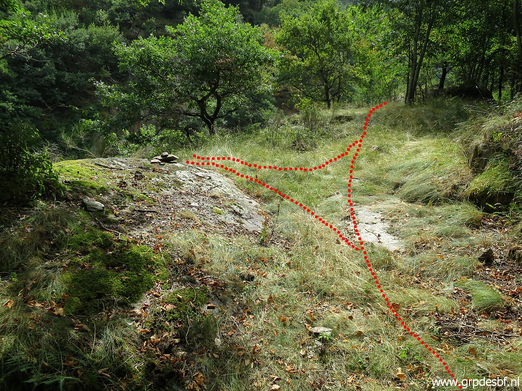
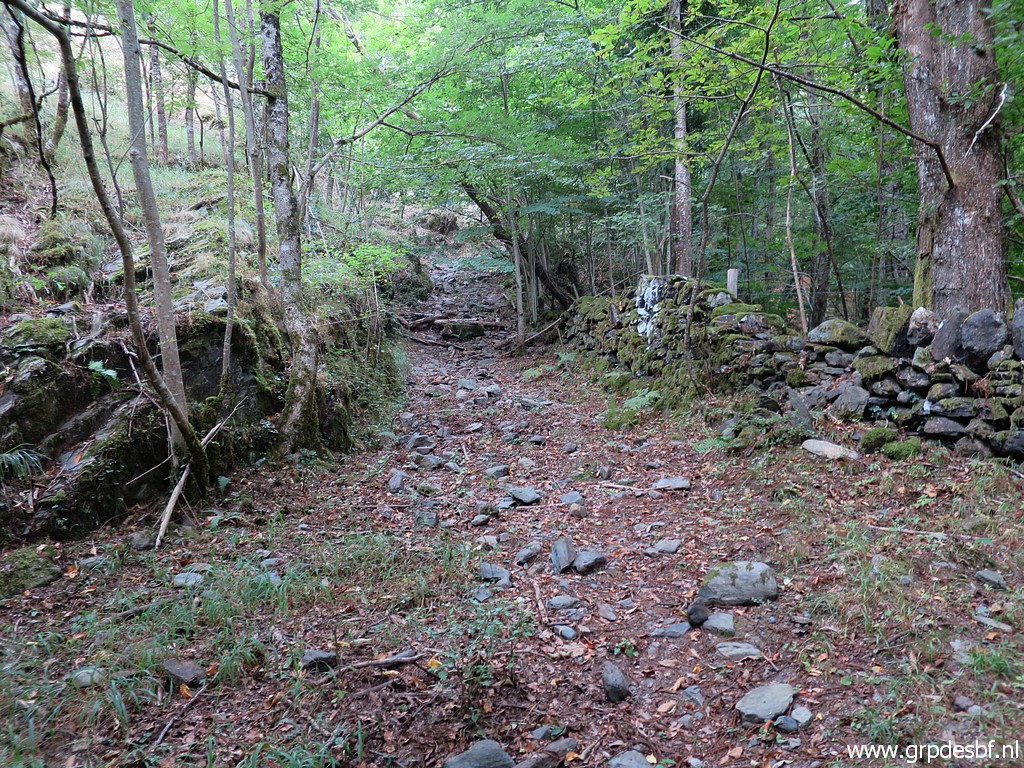
 | It's a vague trail click photo to enlarge |
 | with a waymark-post now and then. At this point it crosses the stone-fall. click photo to enlarge |
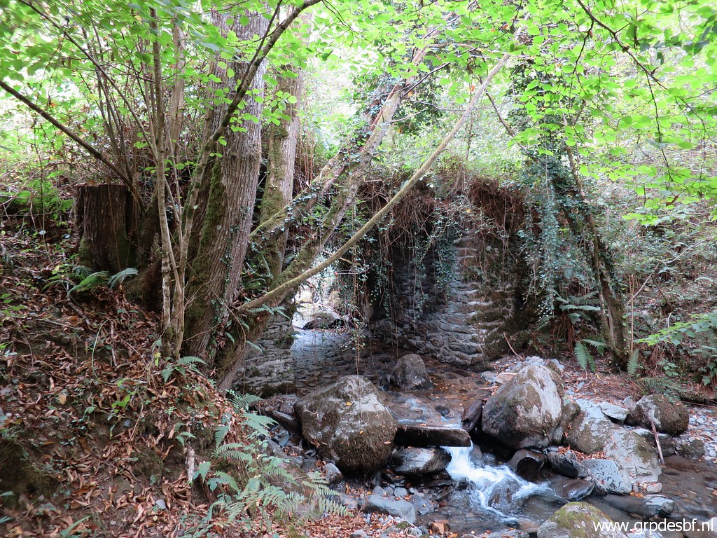
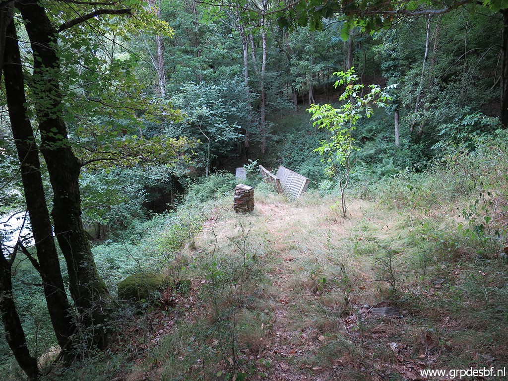 | I arrive at bm409 which is just at the other side of the Ruisseau du Terme (=borderline) which joins the Garonne-barrage here. click photo to enlarge |
 | Bm409 in the background. click photo to enlarge |
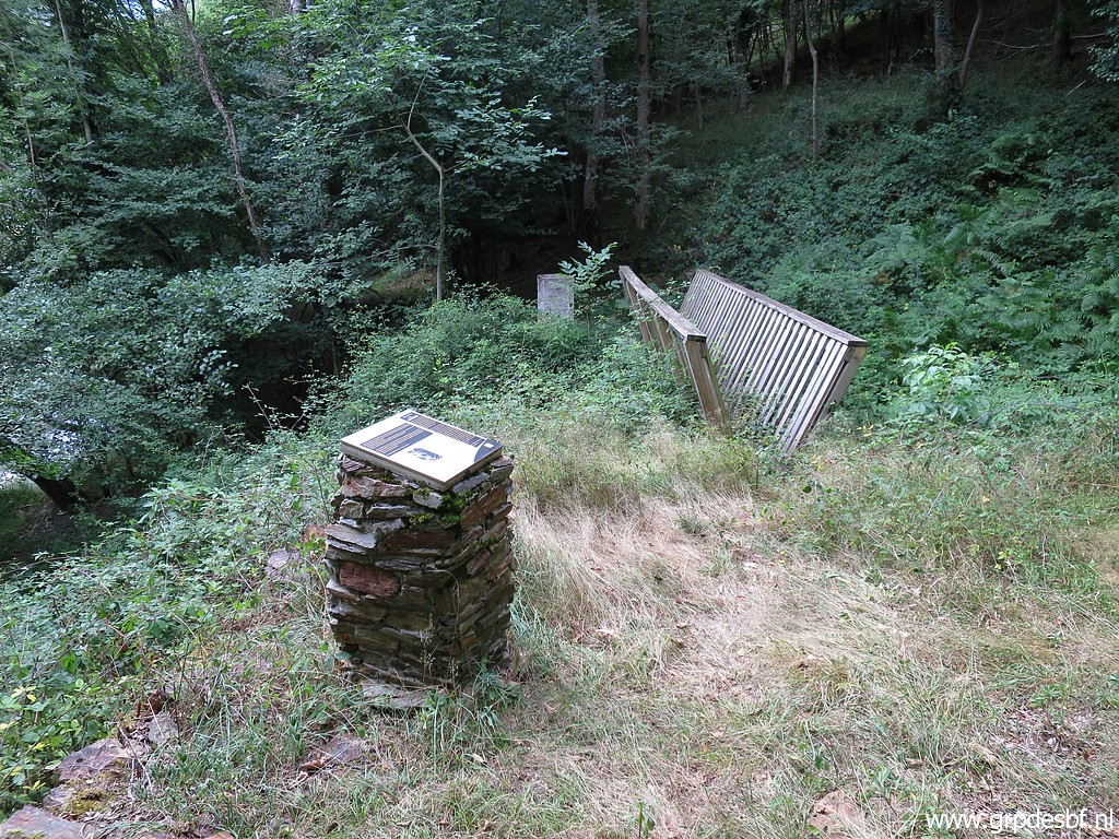
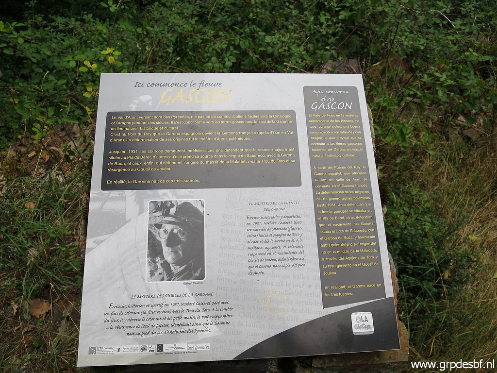 | Information-panel about the Garonne-source. click photo to enlarge |
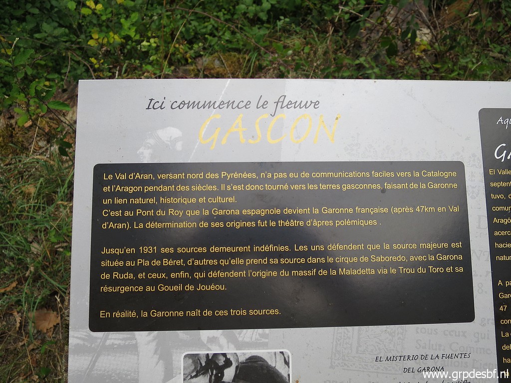 | It tells that there are three sources of the Garonne click photo to enlarge |
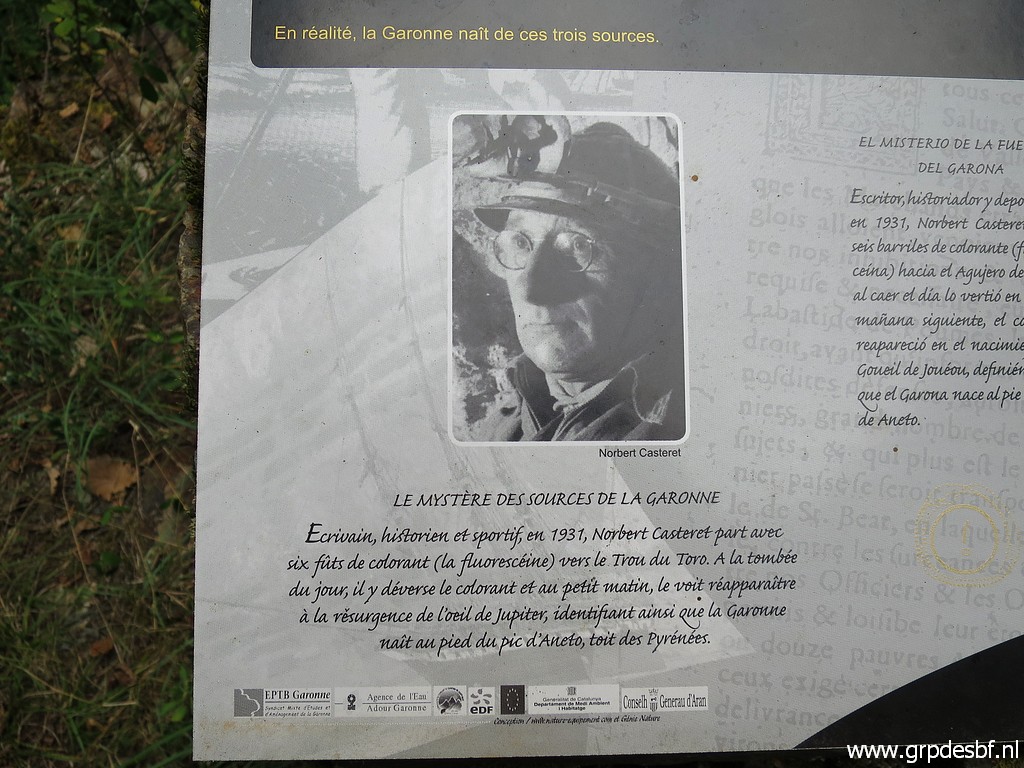 | and about a peculiar experiment with paint dropped in the water to find the source of the Garonne. click photo to enlarge |
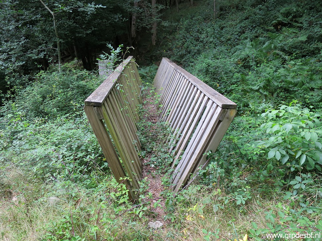 | The footbridge gets overgrown. click photo to enlarge |
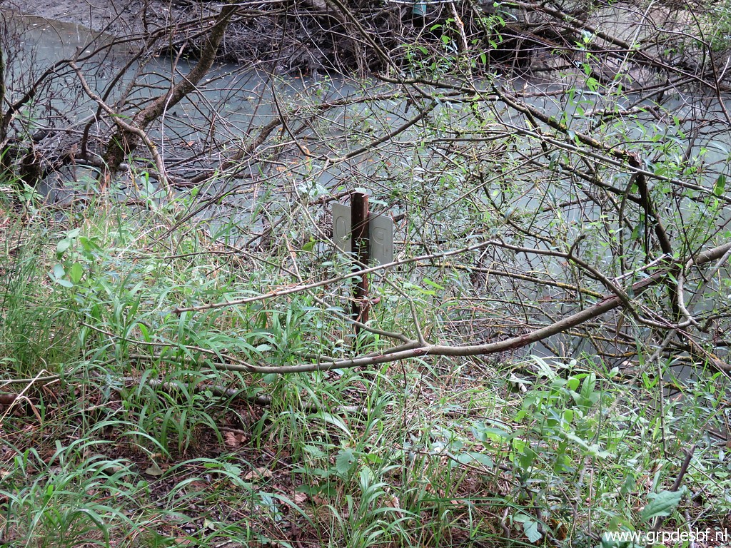
 | Bm409 click photo to enlarge |
 | with at its foot a sort of marker. click photo to enlarge |
 | At the other side of the bridge there is some space for a bivouac. Water available from click photo to enlarge |
 | the stream. click photo to enlarge |
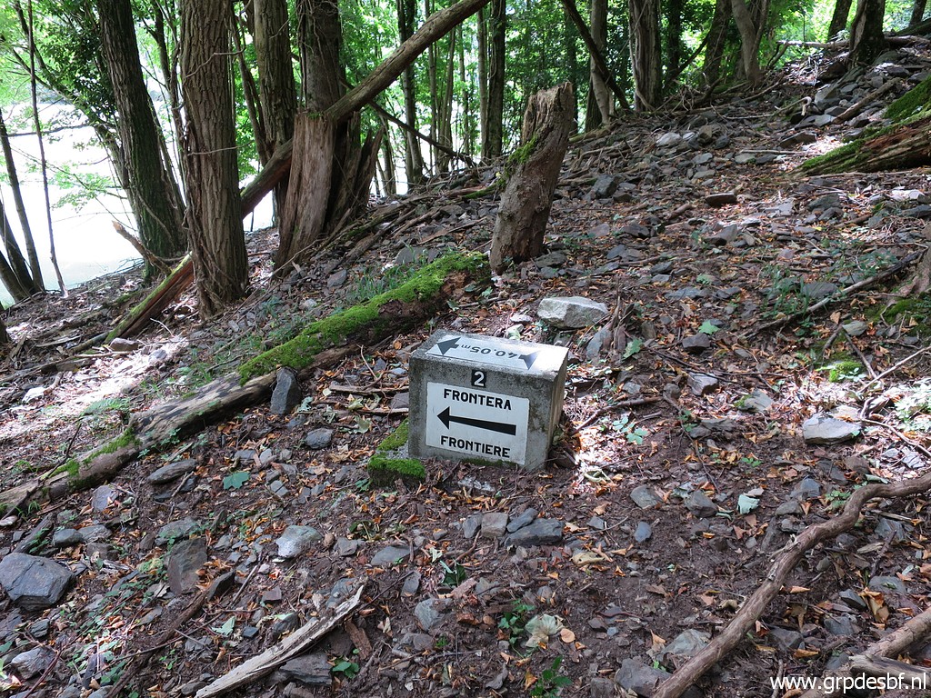
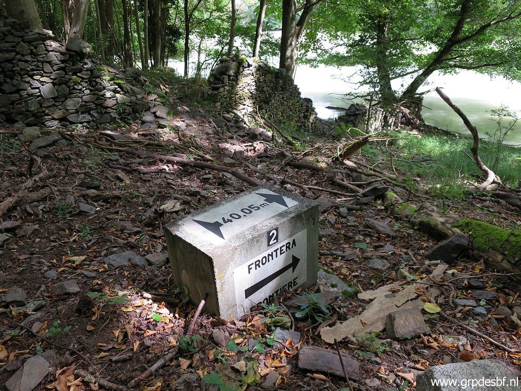
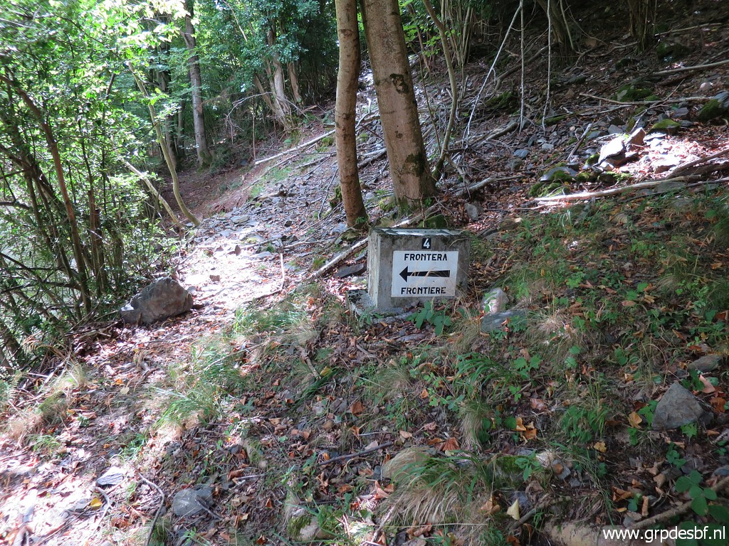
 | I
will redo the submarkers of bm409 which were placed in the 1970-ies to
indicate the borderline in the 'thalweg' of the Garonne as it streamed
before the construction of the barrage-lake. They are on both sides of the lake. But first the Spanish side. Bm409a-es is at the foot of the bridge click photo to enlarge |
 | but now fully overgrown. click photo to enlarge |
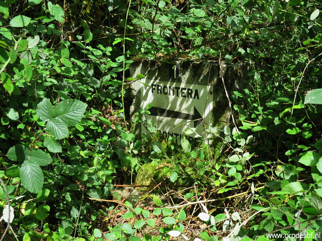 | But after some cleaning visible. click photo to enlarge |
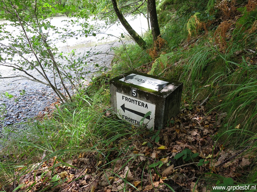
 | I continue on a distinct trail along the lake but bm409b-es is a bit downhill and can not be seen from the trail. click photo to enlarge |
 | Bm409b-es click photo to enlarge |
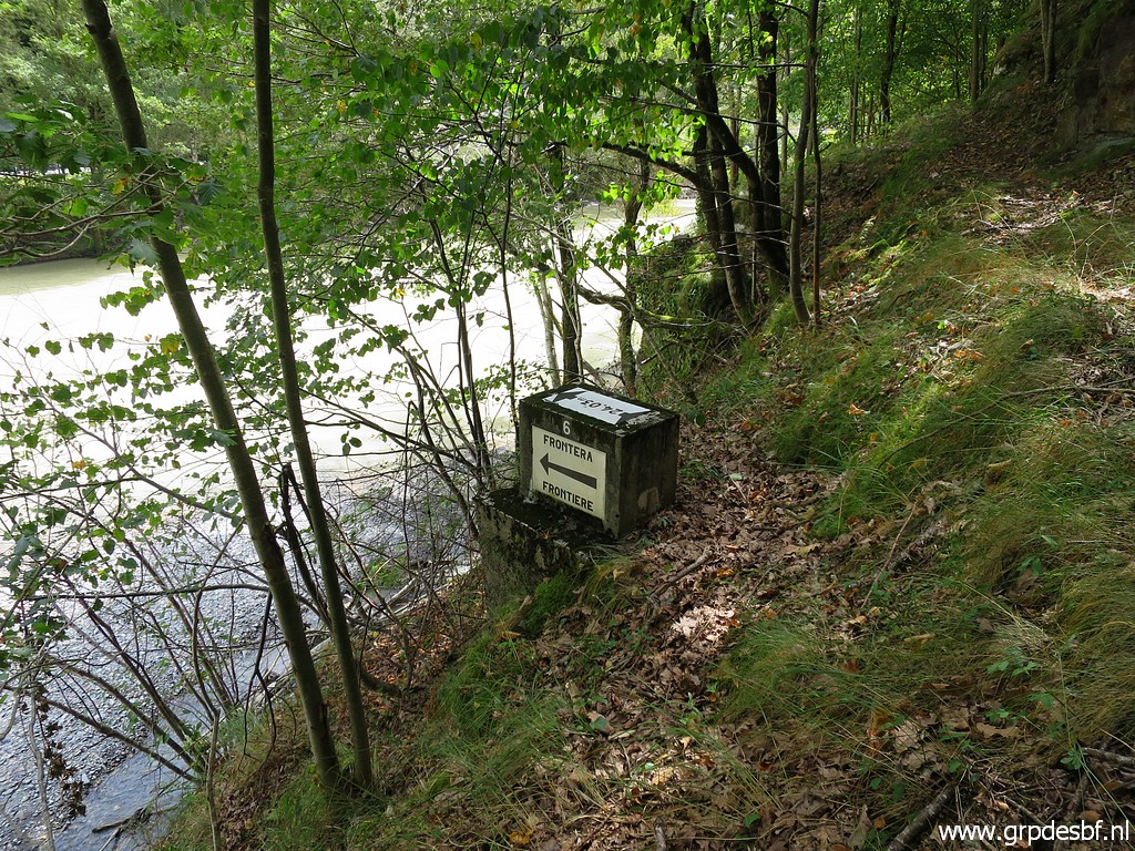
 | Bm409c-es click photo to enlarge |
 | Continuing on the trail click photo to enlarge |
 | to bm409d-es click photo to enlarge |
 | and bm409e-es click photo to enlarge |
 | and bm409f-es click photo to enlarge |
 | and approaching bm409g-es which needs a short but steep descent from this spot. So here, go to the left click photo to enlarge |
 | and you will see bm409g-es from above. click photo to enlarge |
 | Bm409g-es Back to the trail click photo to enlarge |
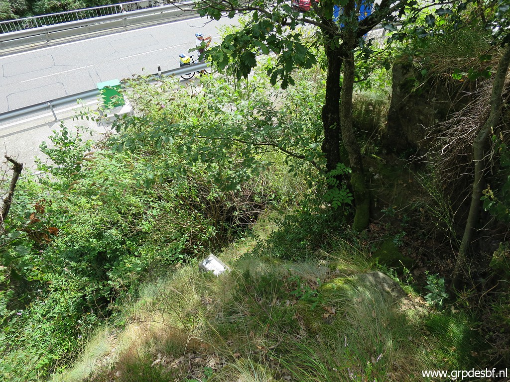
 | A bit further on, the trail descends to the road. I arrive here with click photo to enlarge |
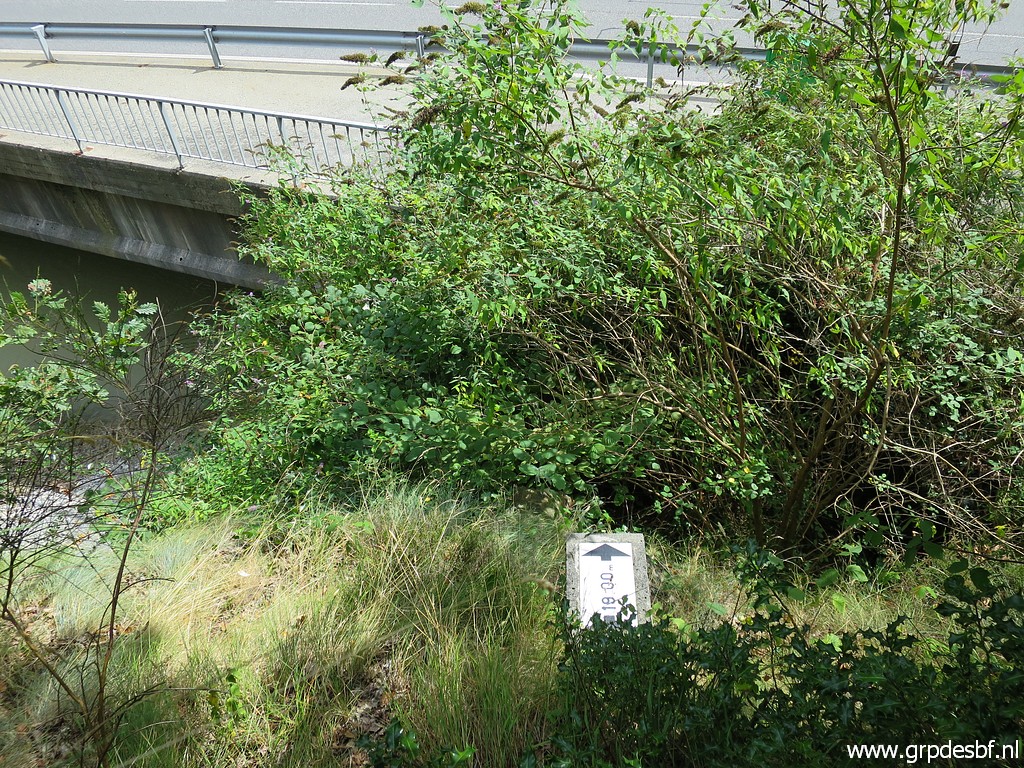
 | a bit back this signpost. But that's another spot than I remember. click photo to enlarge |
 | That spot is further along the road at this spot. Conclusion: there two entrances to (or exits of) the trail which goes along the lake. click photo to enlarge |
 | A deserted building in the background. click photo to enlarge |
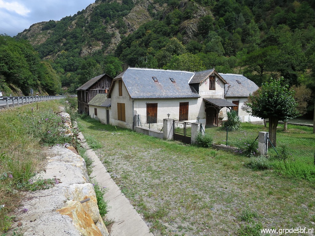 | It's an old click photo to enlarge |
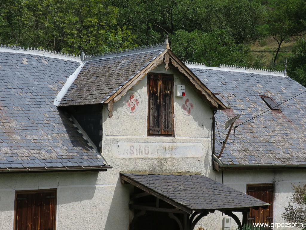 | casino. click photo to enlarge |
 | Then towards the 'pont du Roi'. From the bridge to an electricity-plant this view ahead to the pont du Roi. click photo to enlarge |
 | There is an old bridge and a new one. From the new one you can spot click photo to enlarge |
 | bm409g-es click photo to enlarge |
 | Seen from the other side, click photo to enlarge |
 | bm409-es once again. click photo to enlarge |
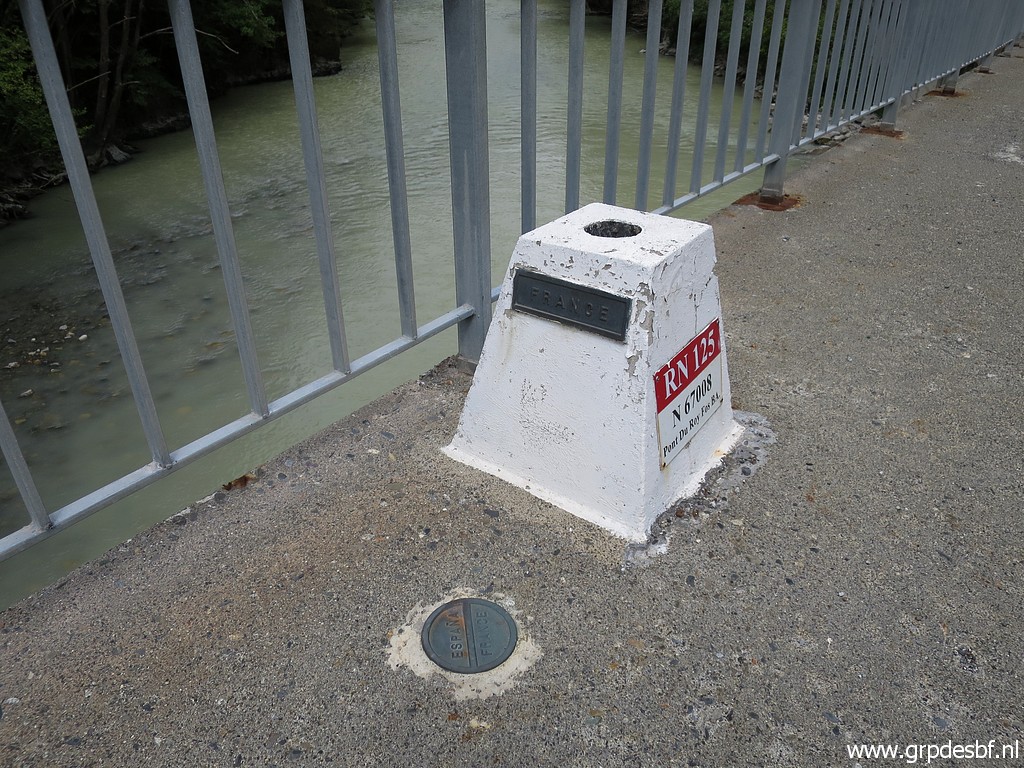 | At the new bridge, a bordermarker in his own kind (the plaque on groundlevel) click photo to enlarge |
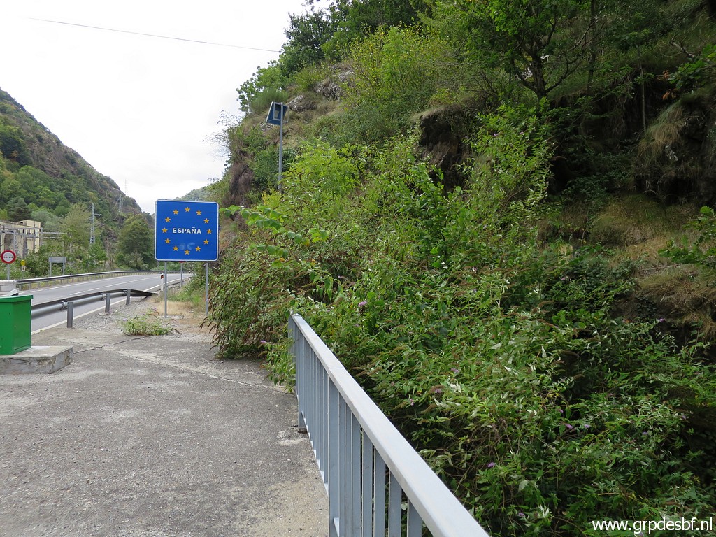
 | Arriving at bm410 and bm409f-fr click photo to enlarge |
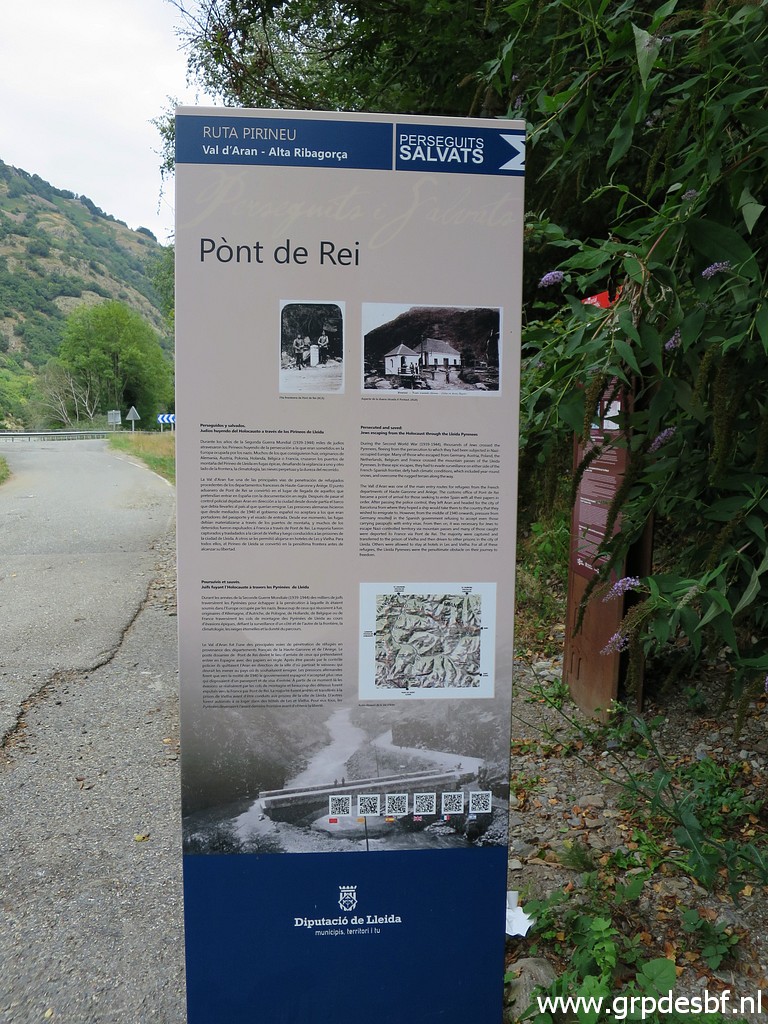 | A large information-panel click photo to enlarge |
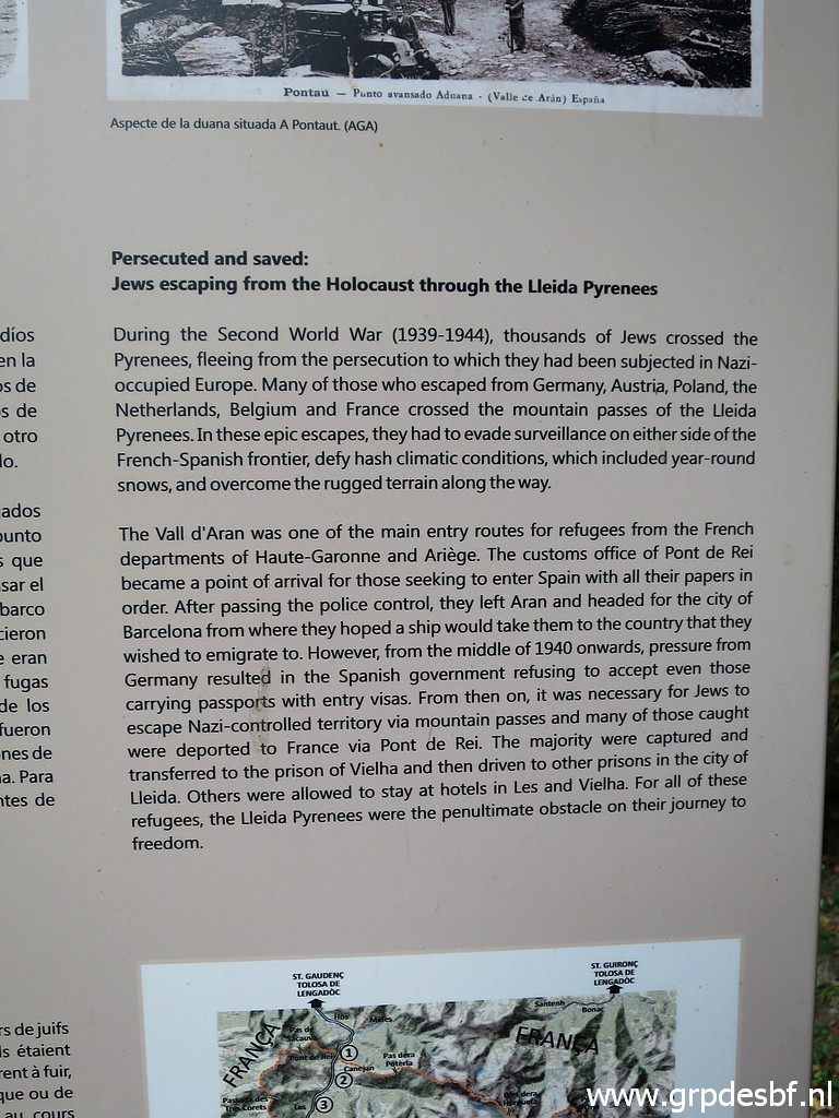 | with informaton about the escape-routes to Spain in WWII. click photo to enlarge |
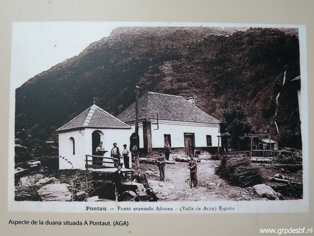 | And a picture of an old customs-building (Spanish) in the hamlet of Pontaut, about 1,5km to the south. click photo to enlarge |
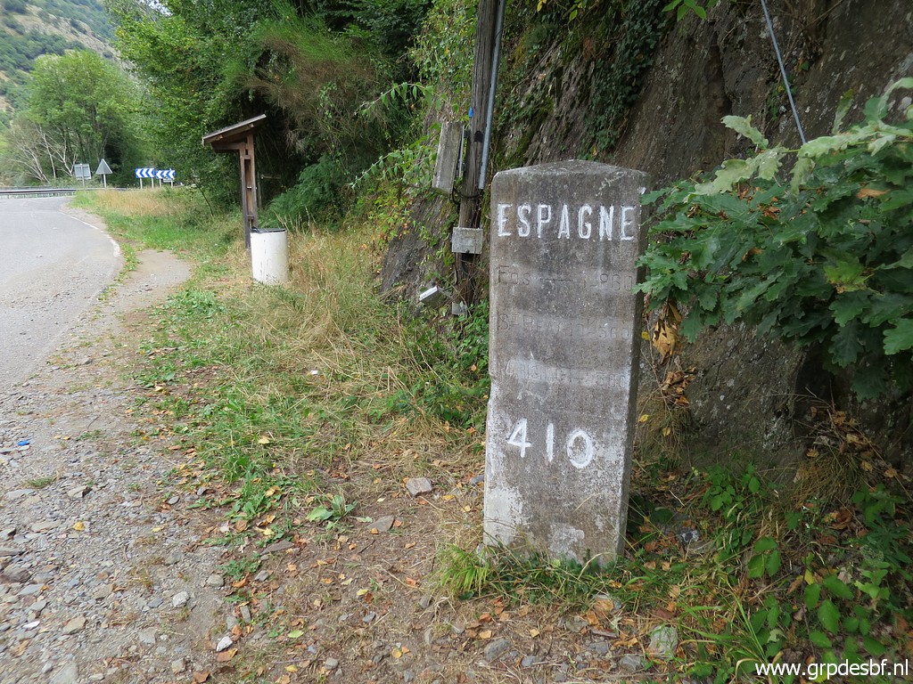
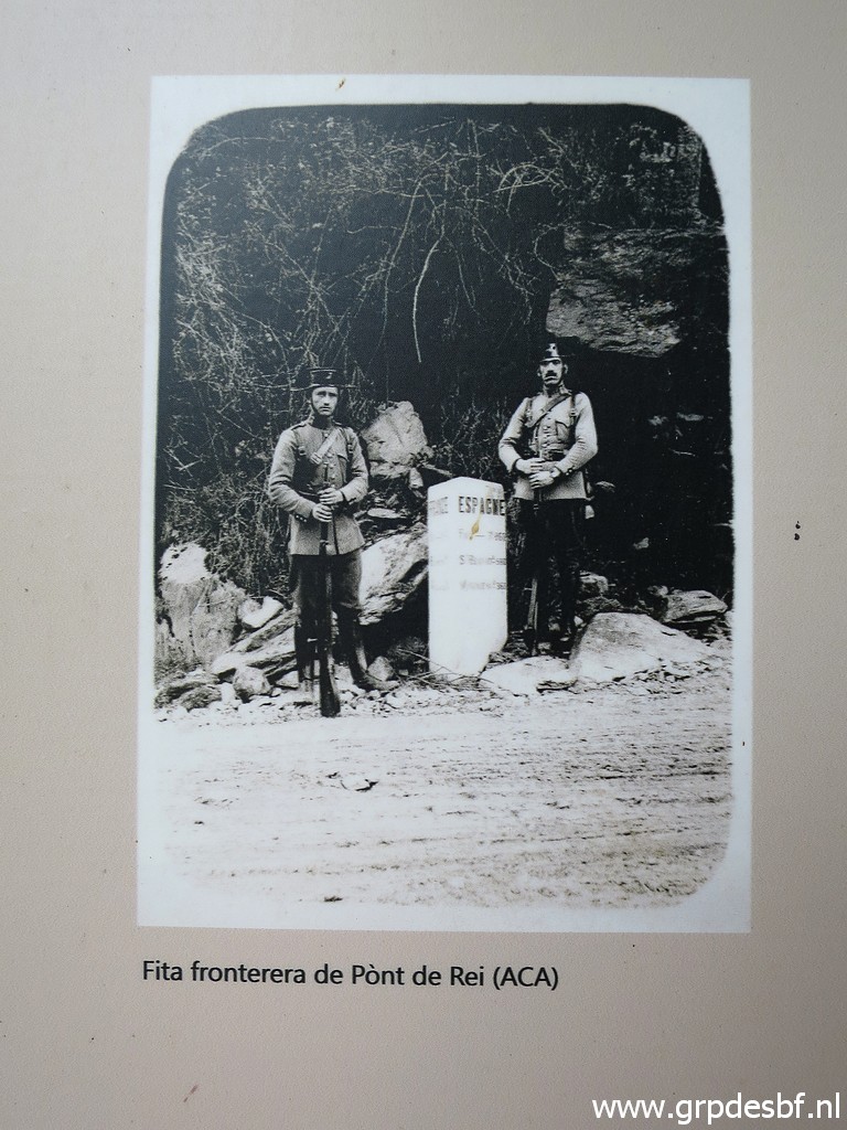 | and
bm409 which used to be only a roadsign with distances but was upgraded
to a bordermarker when the old stone marker (standing at the rock just
above the officer to the right) was removed or destroyed. click photo to enlarge |
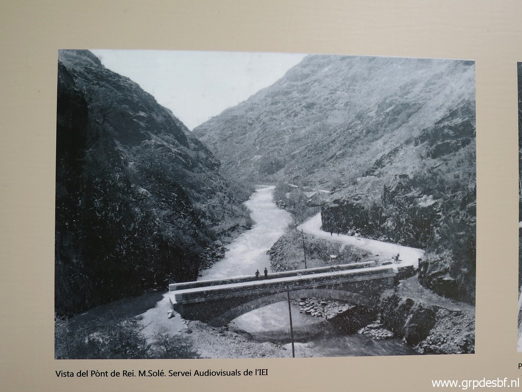 | And an old picture of the old Pont du Roi, seemingly not long after its construction. click photo to enlarge |
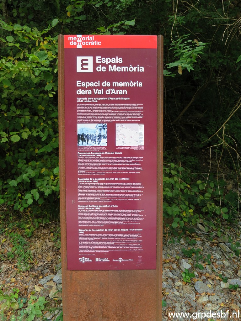 | Another information-panel, this one click photo to enlarge |
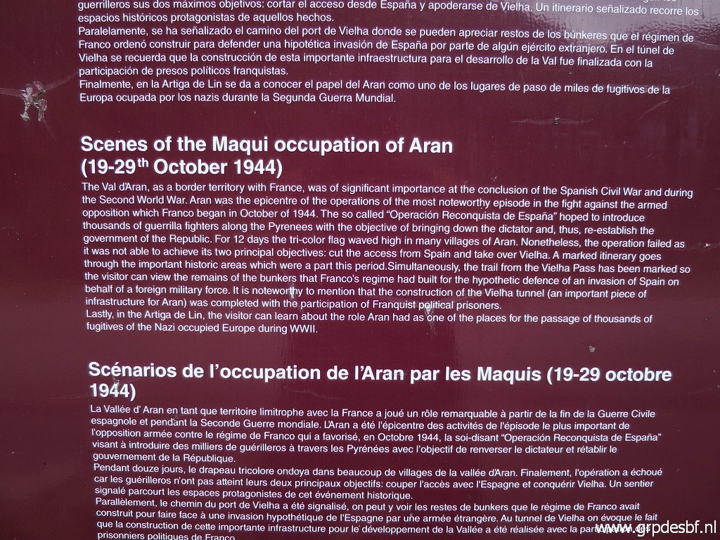 | about a short-lived uprising in Val d'Aran. click photo to enlarge |
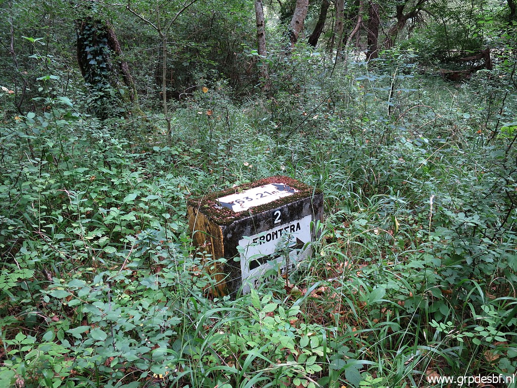
 | Bm409g-fr Is in recent years restaurated after the plates were vandalized. click photo to enlarge |
 | Bm409g-fr The distance and points refer to the original Thalweg of the Garonne. click photo to enlarge |
 | Bm410, as said above upgraded to a bordermarker when the old stone marker (standing at the
rock just above the road was removed or destroyed. click photo to enlarge |
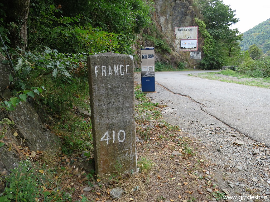 | Bm410 click photo to enlarge |
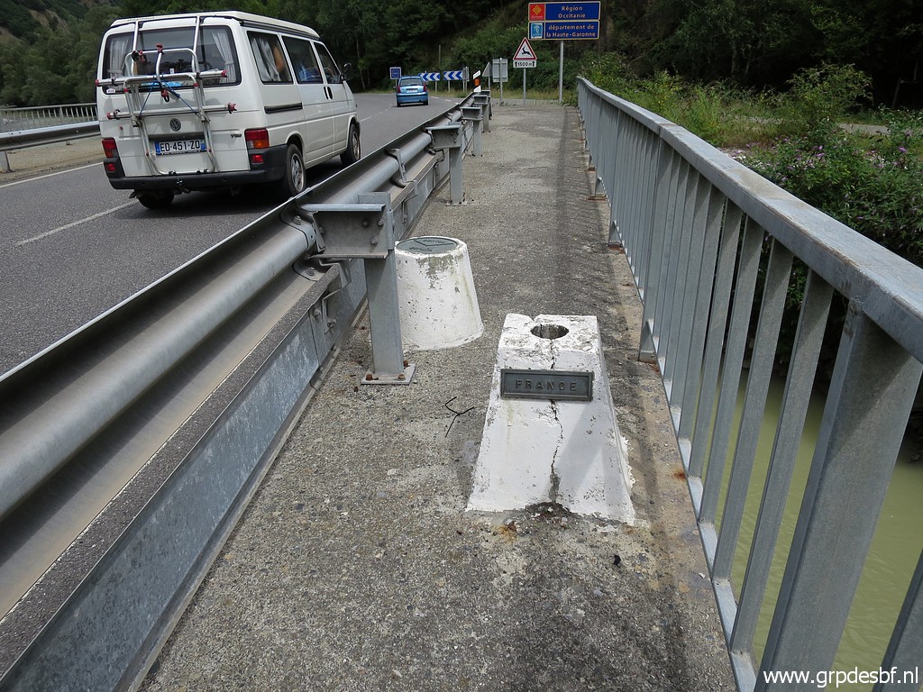 | Another bordermarker on the new bridge, click photo to enlarge |
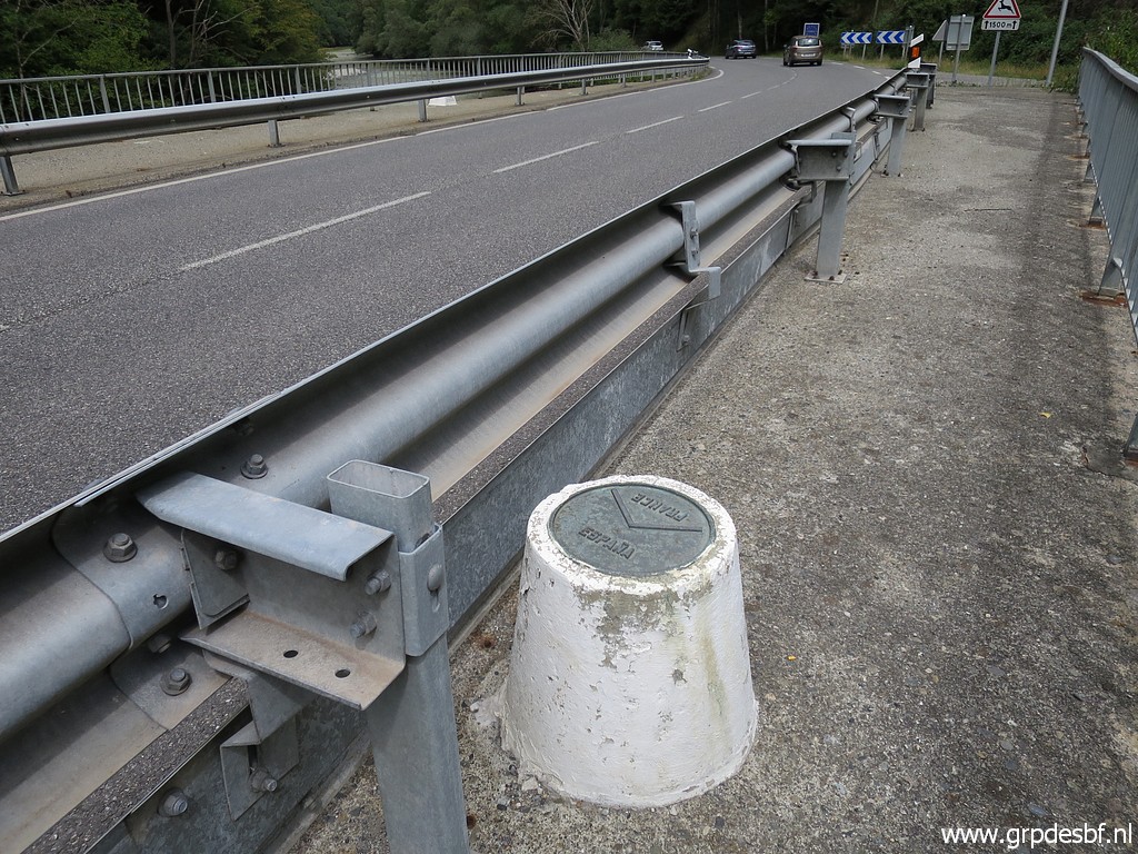 | showing the bend in the border. click photo to enlarge |
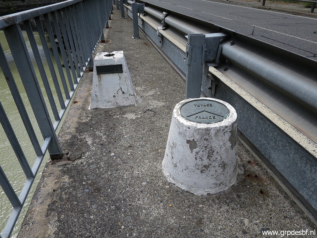 | Same marker, seen from the other side. click photo to enlarge |
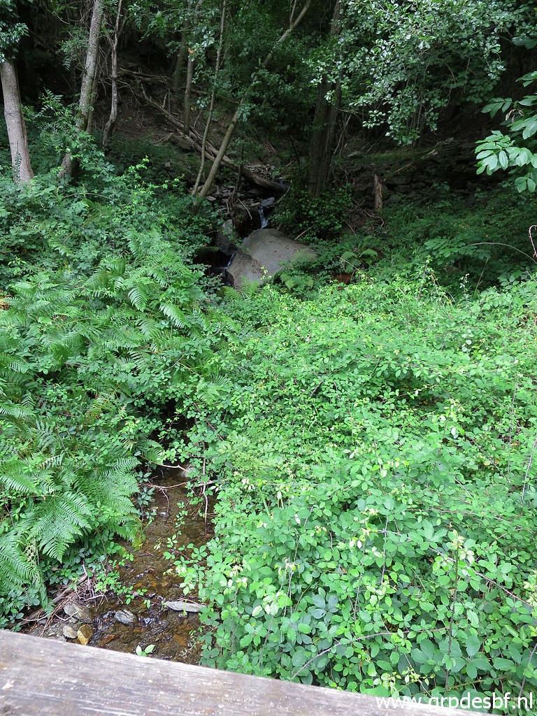
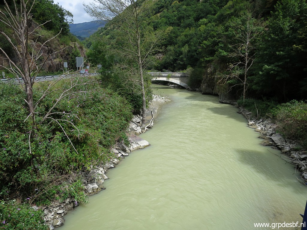
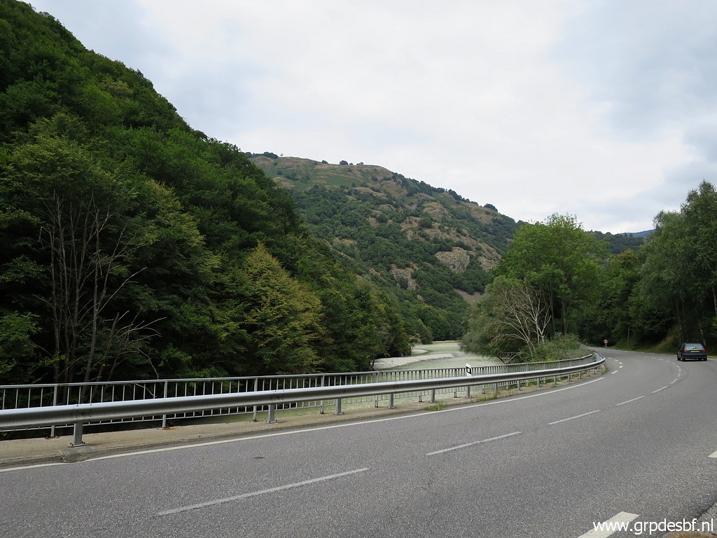 | Next target: the remaining bm409-submarkers on the French bank of the barrage-lake. This is a view to the north with the Garonne and click photo to enlarge |
 | uphill the valley which contains the Ruisseau du Terme streaming to the barrage-lake. click photo to enlarge |
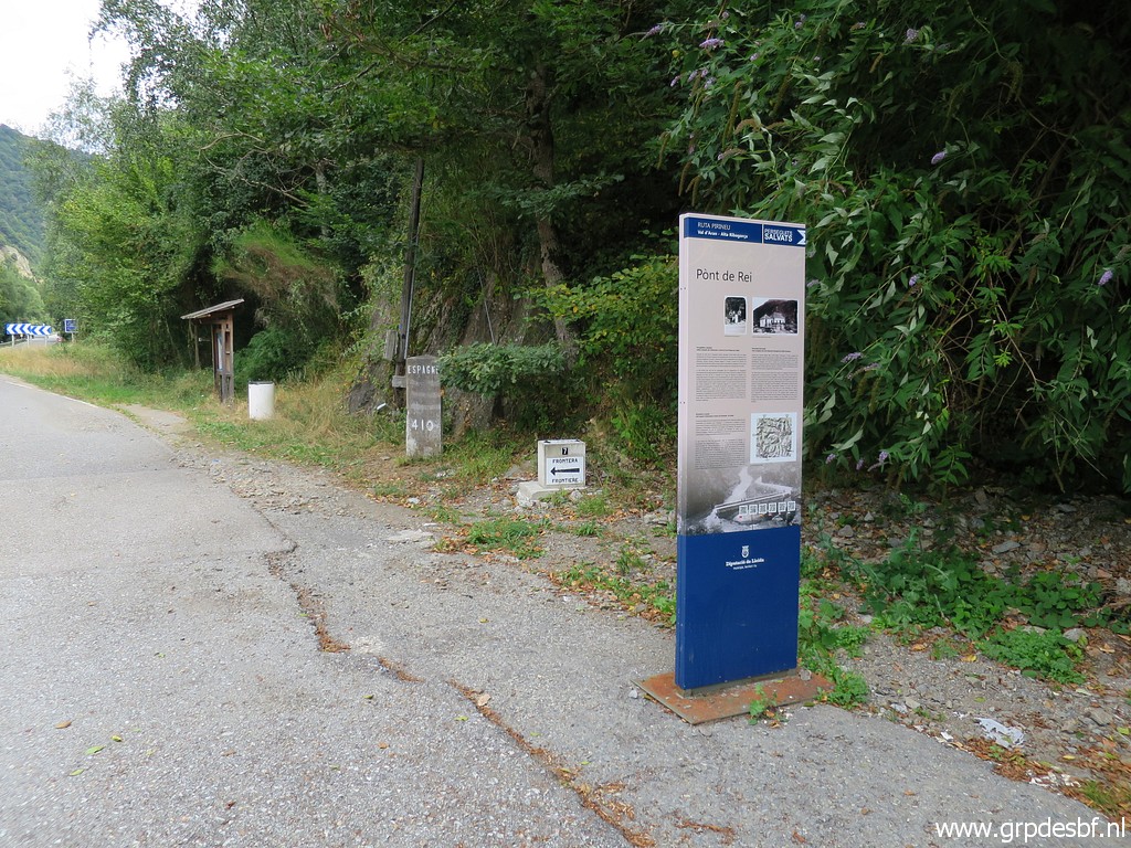
 | But I am not yet finished at Pont du Roi. This information-panel shows click photo to enlarge |
 | a trail from here at the Spanish side of the Garonne to the south to the hamlet of Pontaut (1,5km in a straight line). click photo to enlarge |
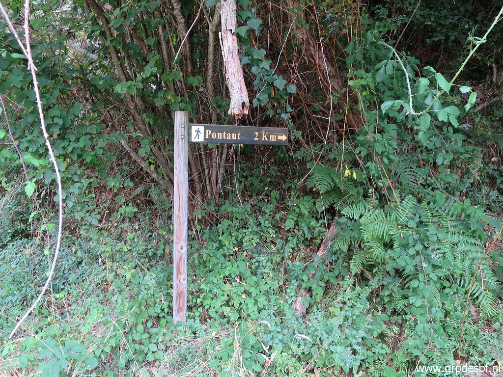 | I
have tried that path years ago and give it a new try. But again there
are no trails or waymarks as soon as you climb into forest. So I'll stick for my GRPdesBF-route to a walk along the road from Pont du Roi to Pontaut. I continue along the lake to the north doing the remaining submarkers. click photo to enlarge |
 | Bm409f-fr click photo to enlarge |
 | Bm409e-fr click photo to enlarge |
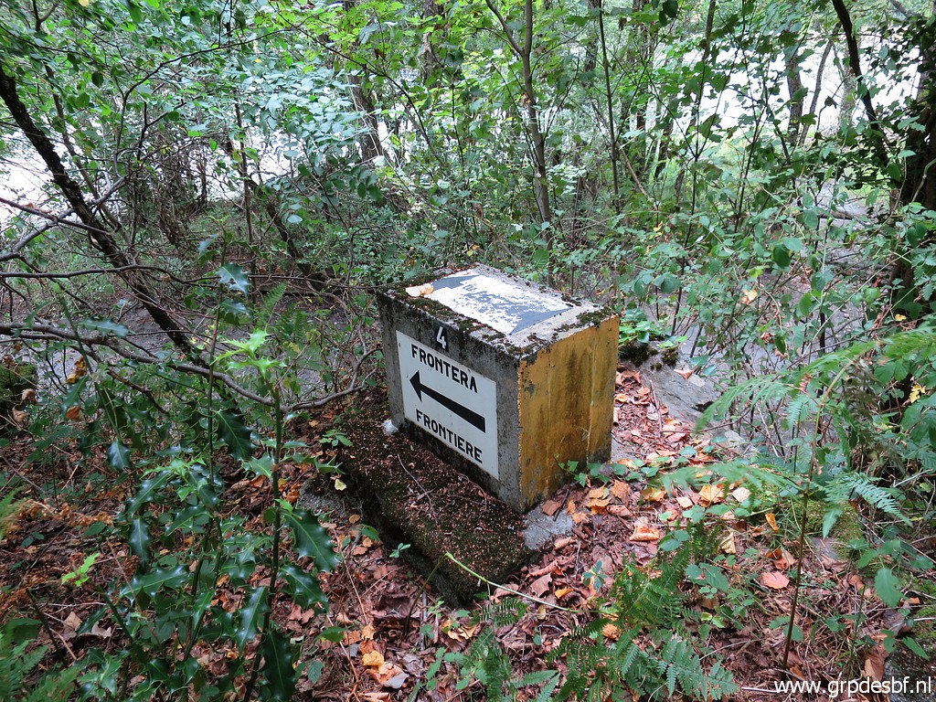 | Bm409d-fr click photo to enlarge |
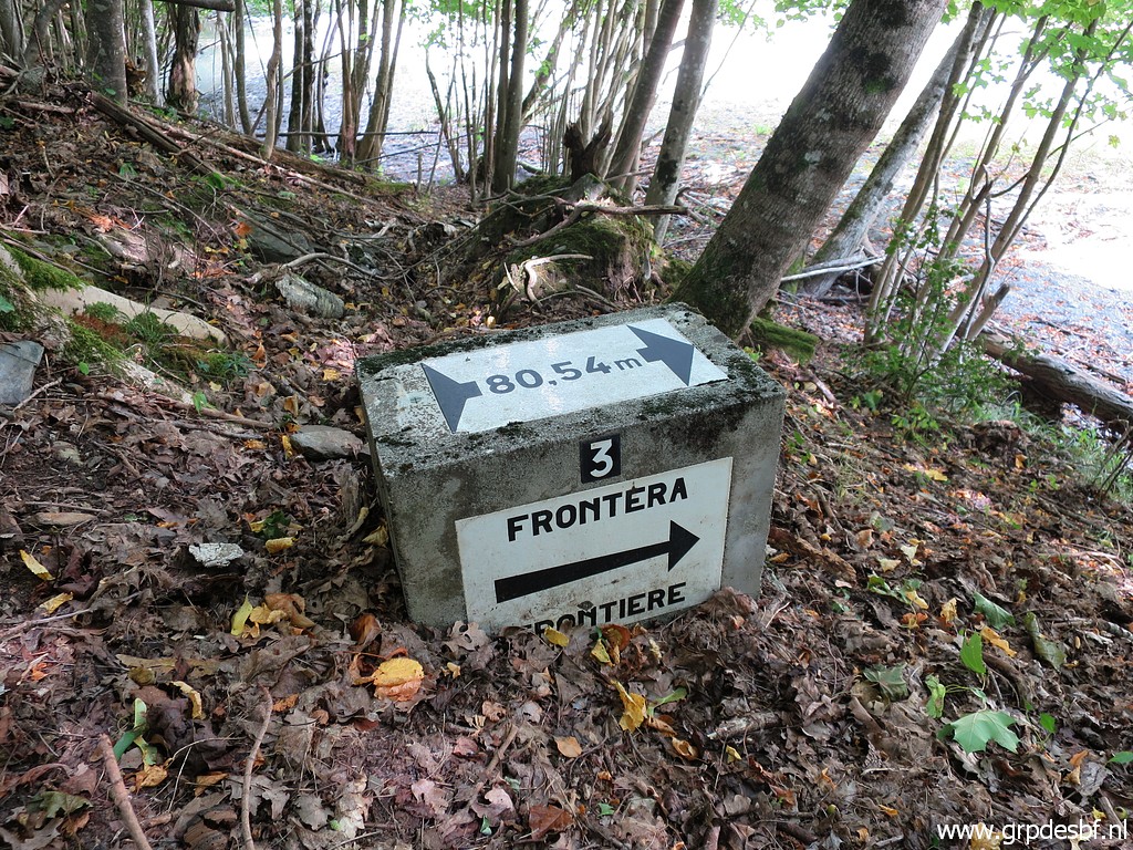
 | Bm409c-fr, almost covered by a Garonne-flooding several years ago. click photo to enlarge |
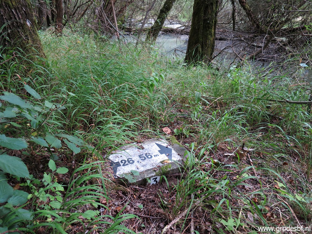
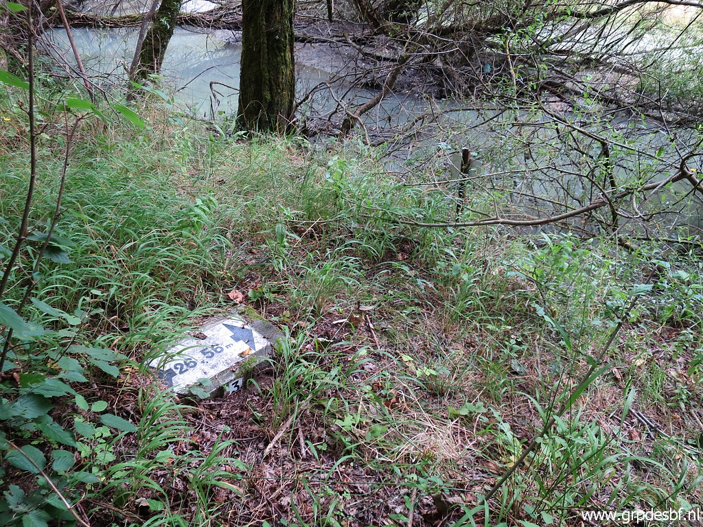 | Bm409c-fr might be difficult to find but the signpost in the background click photo to enlarge |
 | can be helpful to locate it. click photo to enlarge |
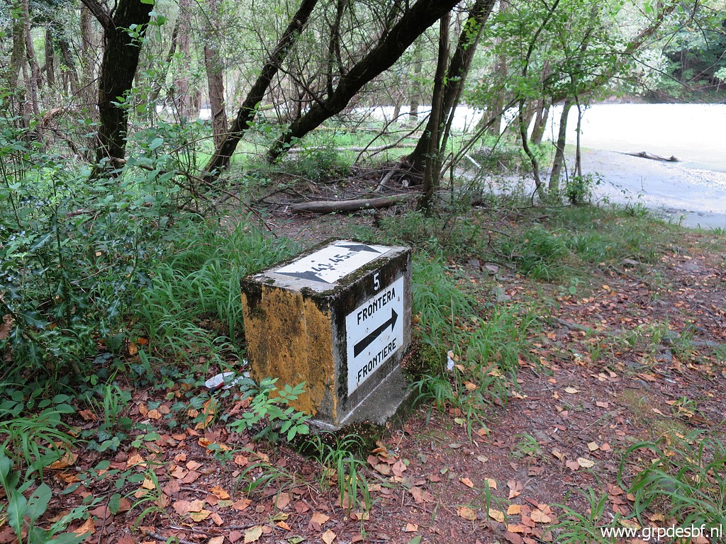
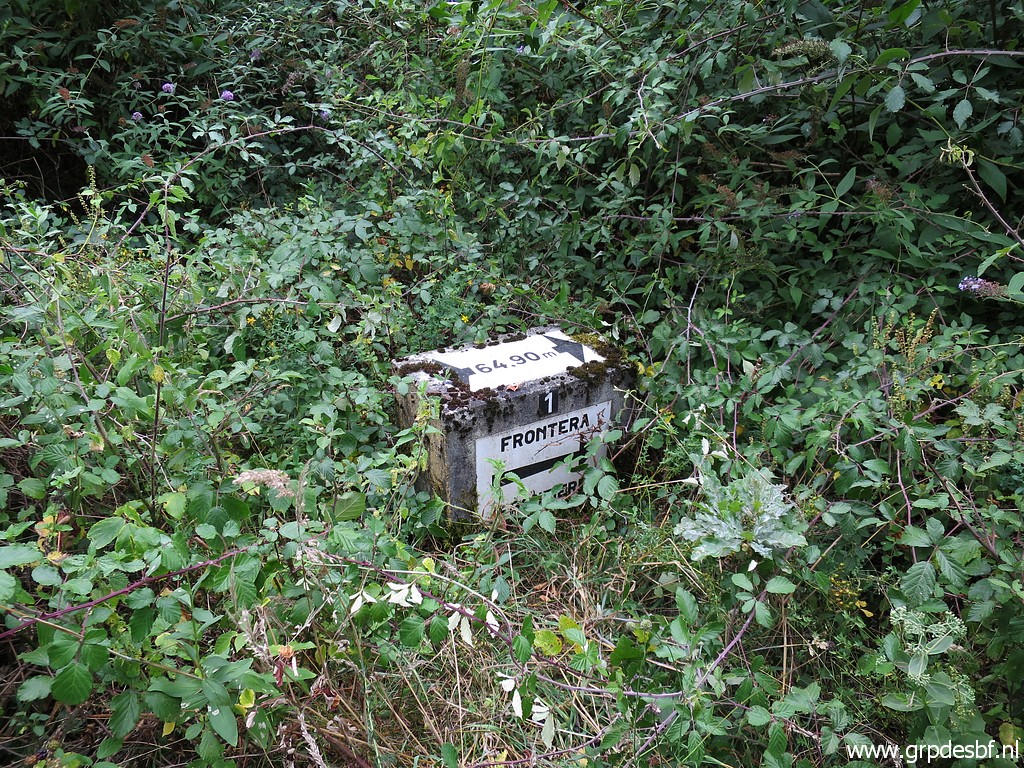
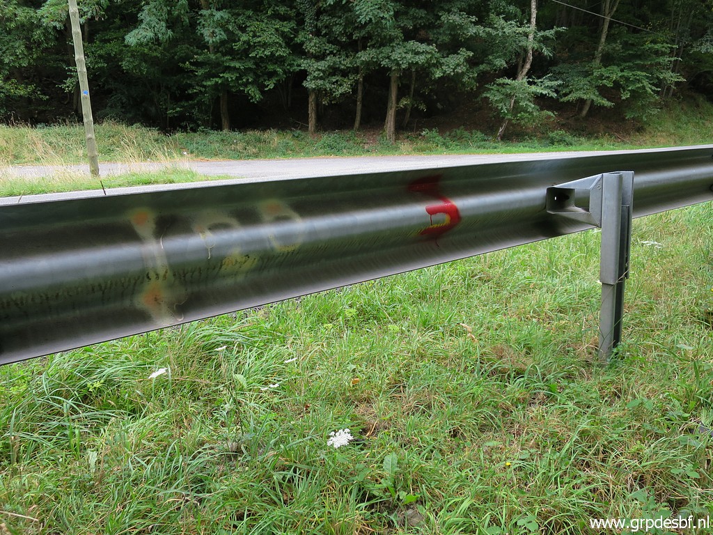 | Another indication is the "3" on the road barrier. click photo to enlarge |
 | Bm409b-fr click photo to enlarge |
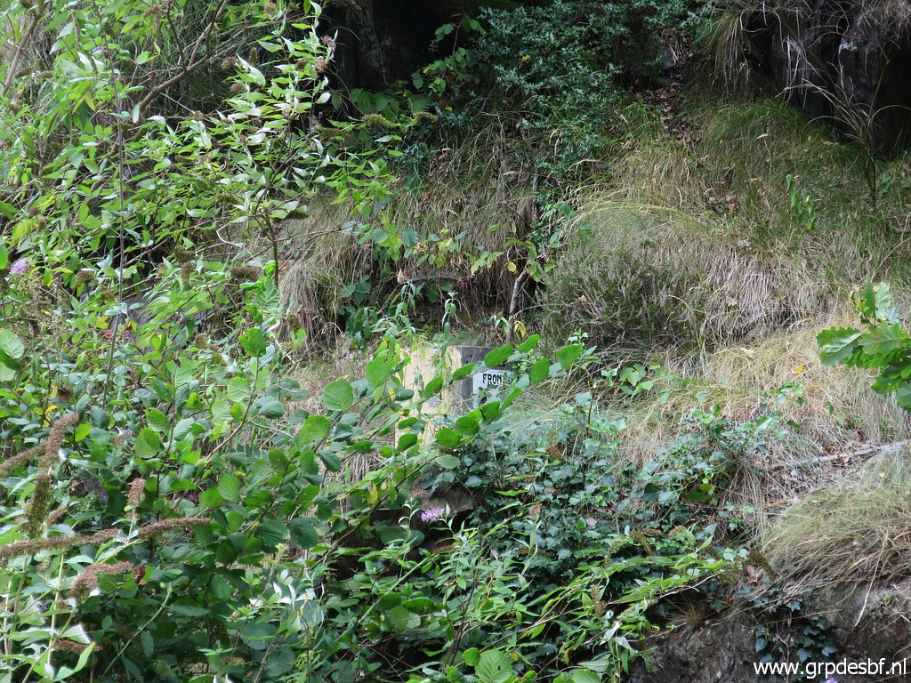
 | Bm409a-fr is almost overgrown click photo to enlarge |
 | Bm409a-fr click photo to enlarge |
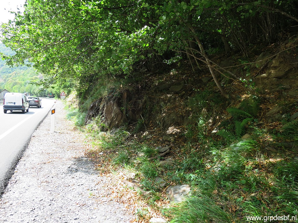
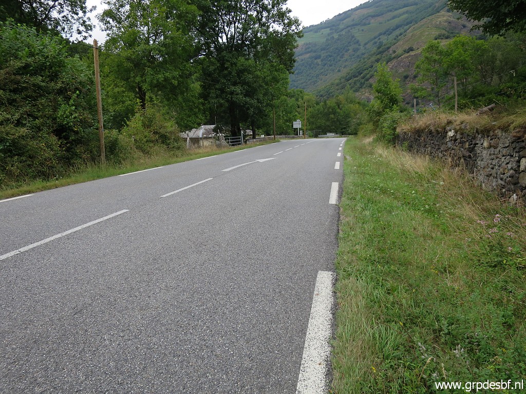
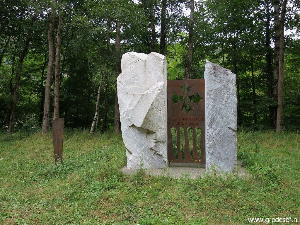 | I continue along the road towards Fos and pass this monument click photo to enlarge |
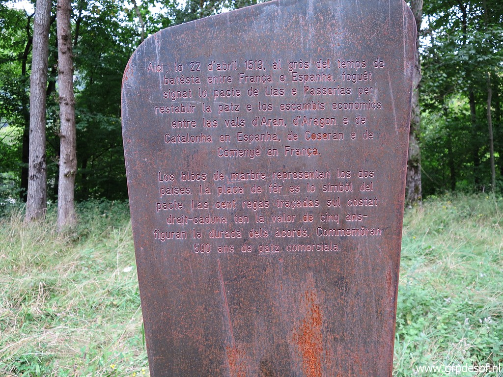 | honouring the famous Treaty of the "Lies et passeries du Plan d'Arem" of 1513 Wat is it about? In 1513 a treaty was signed, here at Plan d'Arem between 19 valley's on both sides of the border. Among others it allows the continuation of commerce between the valleys in time of war and the mutual compensation for damages and losses. See this wikipedia-page on Lies et Passeries. click photo to enlarge |
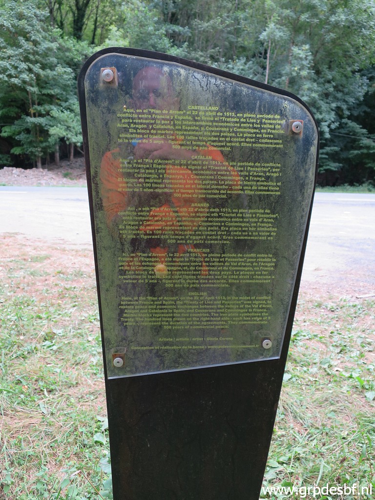 | More information on this panel click photo to enlarge |
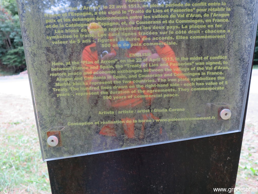 | with this part in English. click photo to enlarge |
 | Arriving at the roundabout at the edge of Fos. click photo to enlarge |
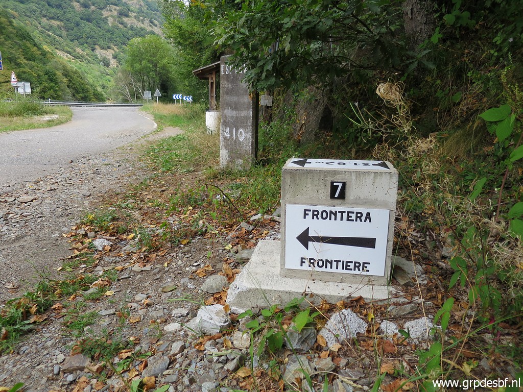
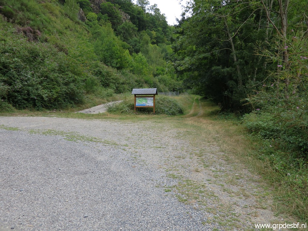 | At the roundabout, I take the road to Melles. At the first bend - that's here - I take the dirtroad beyond the information-panel. click photo to enlarge |
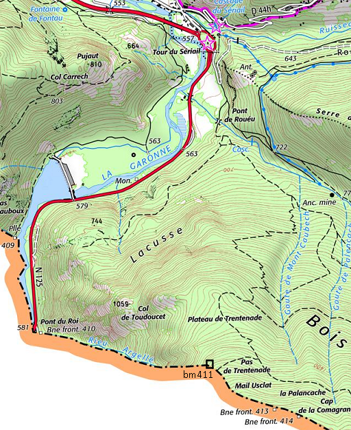 |
Why? I want to check if there is still an acces on the French versant
to Pas de Trentenade (bm411) as shown on the French IGN-maps. Could in theory be an alternative route to go from b410 to bm411. |
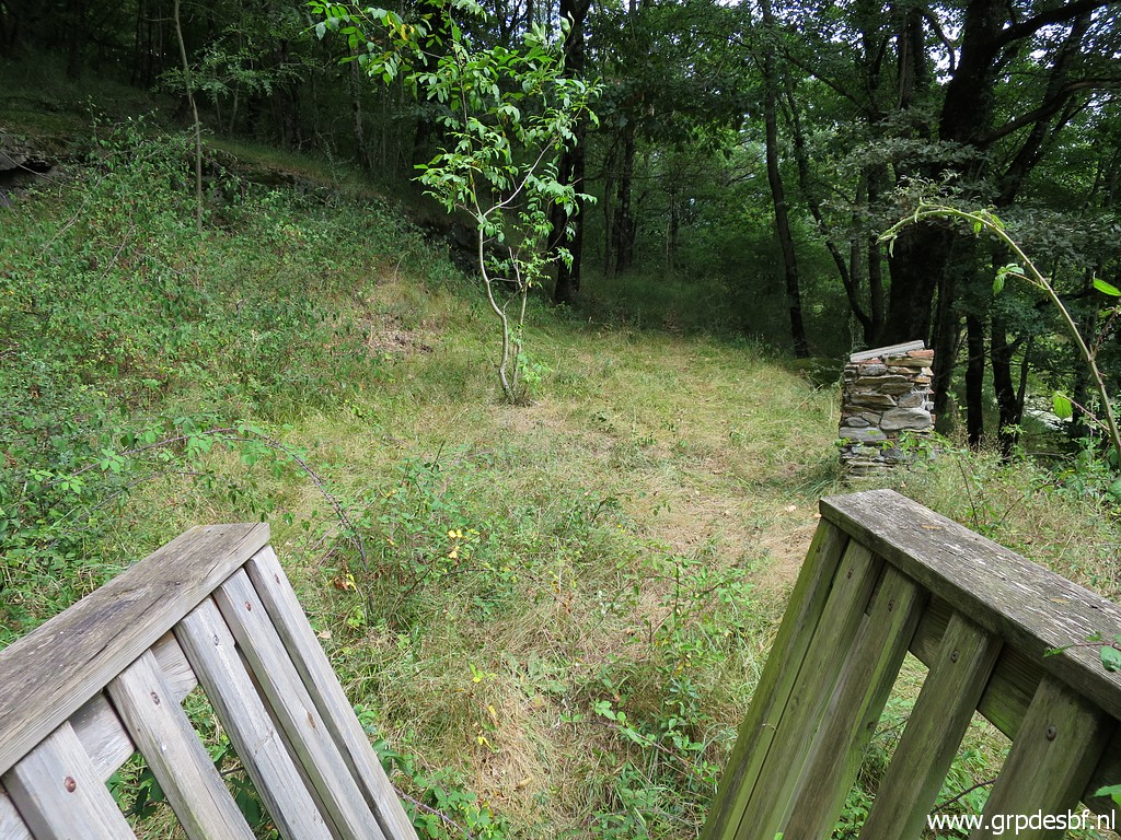
 | In the beginning there is a clear dirtroad/trail leading to this bridge which can only be passed on foot. click photo to enlarge |
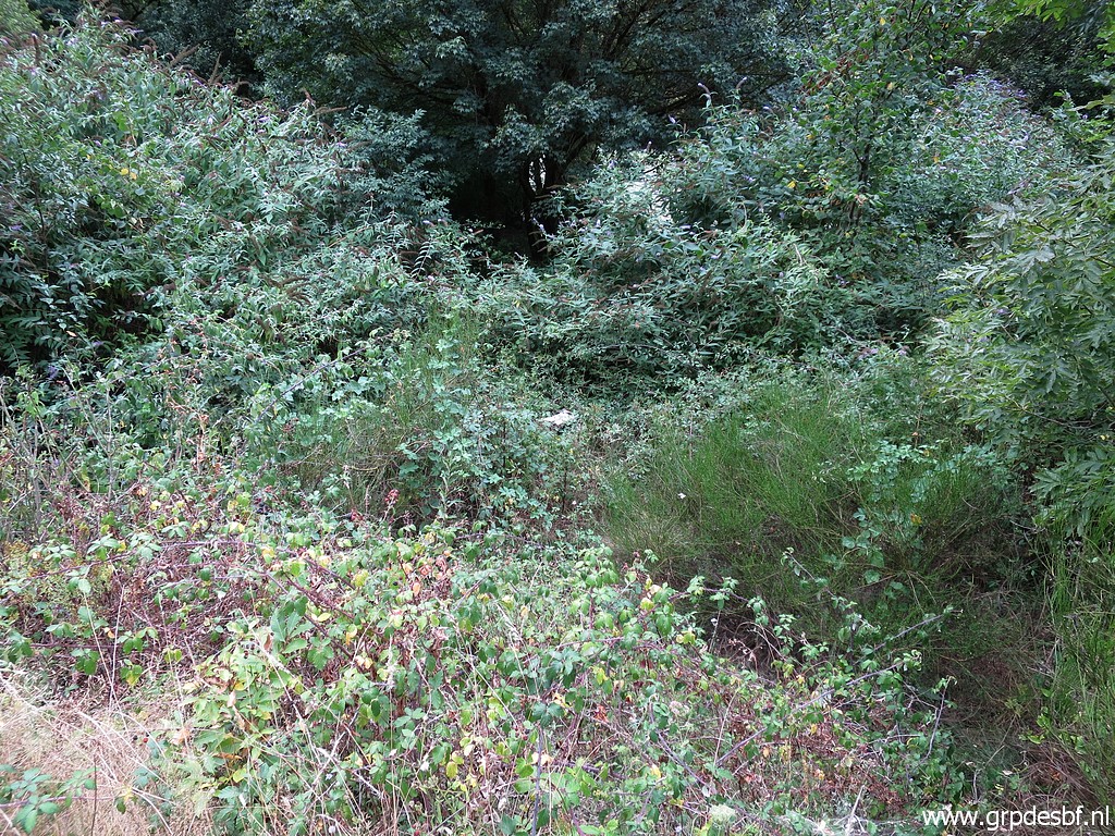
 | and then there is this old trail going gently uphill. But without waymarks or a route on my gps or smartphone, I have no clues where to continue. And I expect that the trails on the map are overgrown. So I return. click photo to enlarge |
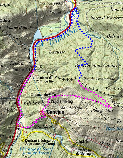 |
Decision: I stick to my GRPdesBF-route via Canejan to Pas de Trentenada (bm411). On the maps it is a bit longer (6,1km in stead of 5,4km) but it is probably far easier to find and with more variation and scenery. Note: bm411 is only covered by a variant of the GRPdesBF. The main route follows from Canejan the GR211. |
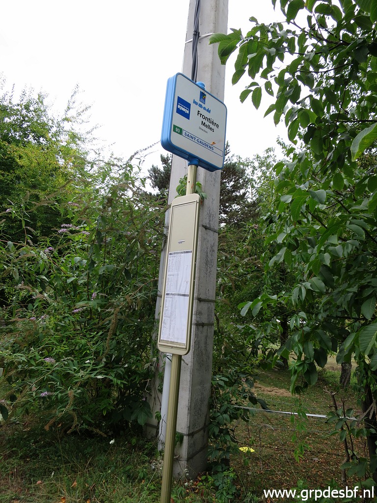 | Enough for today. Back to the road and to Fos where I discover at a busstop click photo to enlarge |
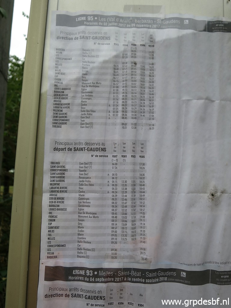 | that there is a regular bus-service from click photo to enlarge |
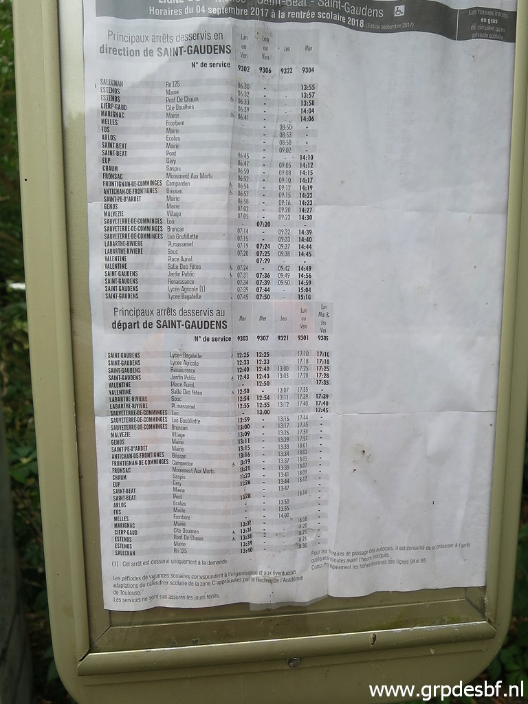 | Saint-Gaudens to Vielha. Good to know. click photo to enlarge |
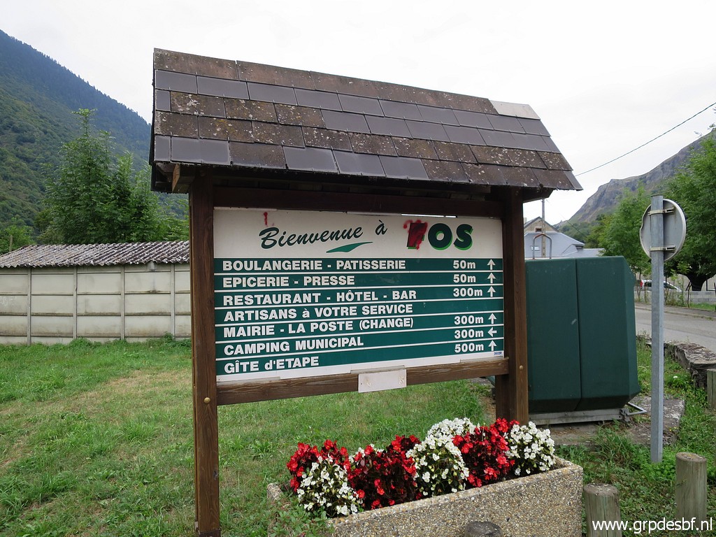 | Information panel at the entrance of Fos. Since my first visit many years ago, the camping and the shops have closed. click photo to enlarge |
 | One can see that once the village was thriving. Now it is mous-still. Back to my car and to the camping. click photo to enlarge |