|
The
bordermarkers of the Pyrenees : all my trips
 |
|
| -
thursday 25 july
2019 - Redoing bm029-038 |
 |
 |
Summary: day 5 of a 5 days-trip to the Basque country, revisiting bordermarkers and checking my GRPdesBF-trail. Today: redoing bm029-038 in opposite direction. Our basecamp is camping Xokoan in Dantxarinea. Weather: very hot |
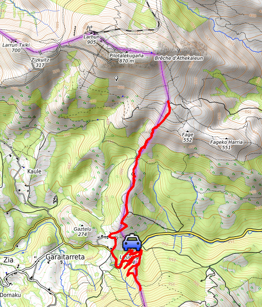
 track-20190725.kml
(click to open this trip in Google Earth or copy link to Google Maps; click right on this link to download gpx-version). The gps-track has not been manually corrected which explains the inaccuracy and misalignment at some points. For cartographic backgrounds: see the cartography-page Gps-waypoints of all bordermarkers (most recent version): kml: esfr-bordermarkers-all-waypoints.kml gpx: esfr-bordermarkers-all-waypoints.gpx |
|
 |
According to Garmin
Basecamp (uncorrected track): Distance: 10,4 km Max-height: 606m Min-height: 177m Elevation: +936m -936m Total elevation: 1872m Start 09:56 Finish 16:19 Total time: 6:23 |
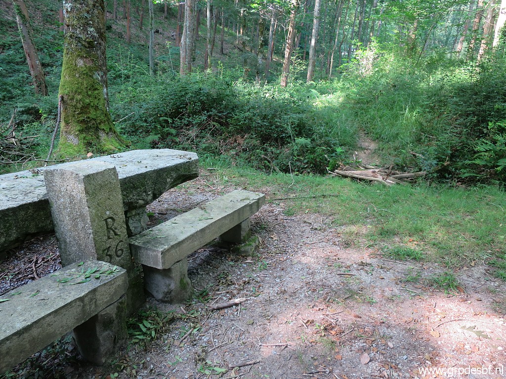
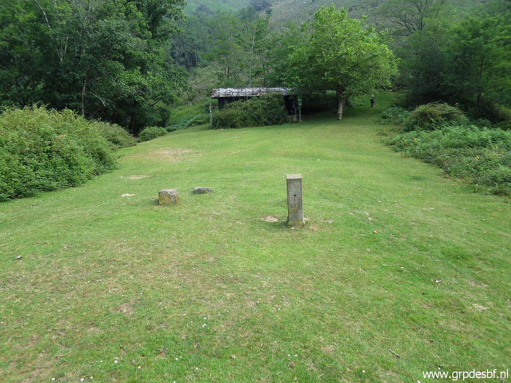
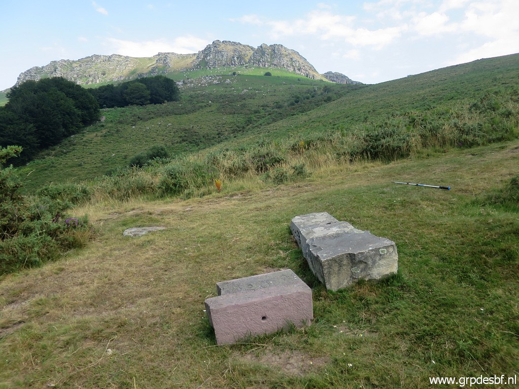
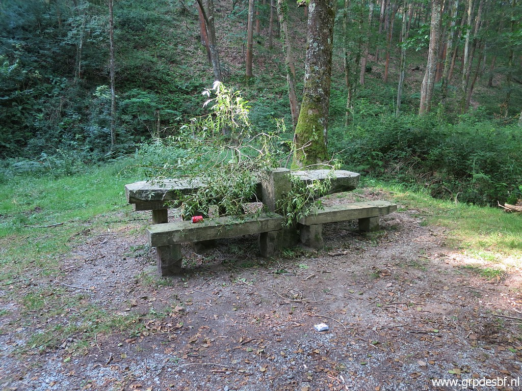 | Today we start a little later, it is less warm than earlier days. Driving to the borderpass on the road between Sare and Vera de Bidasoa and putting our car on the parking lot near bm036. We'll first do bm036-038. This is bm036 (click photo to enlarge) |
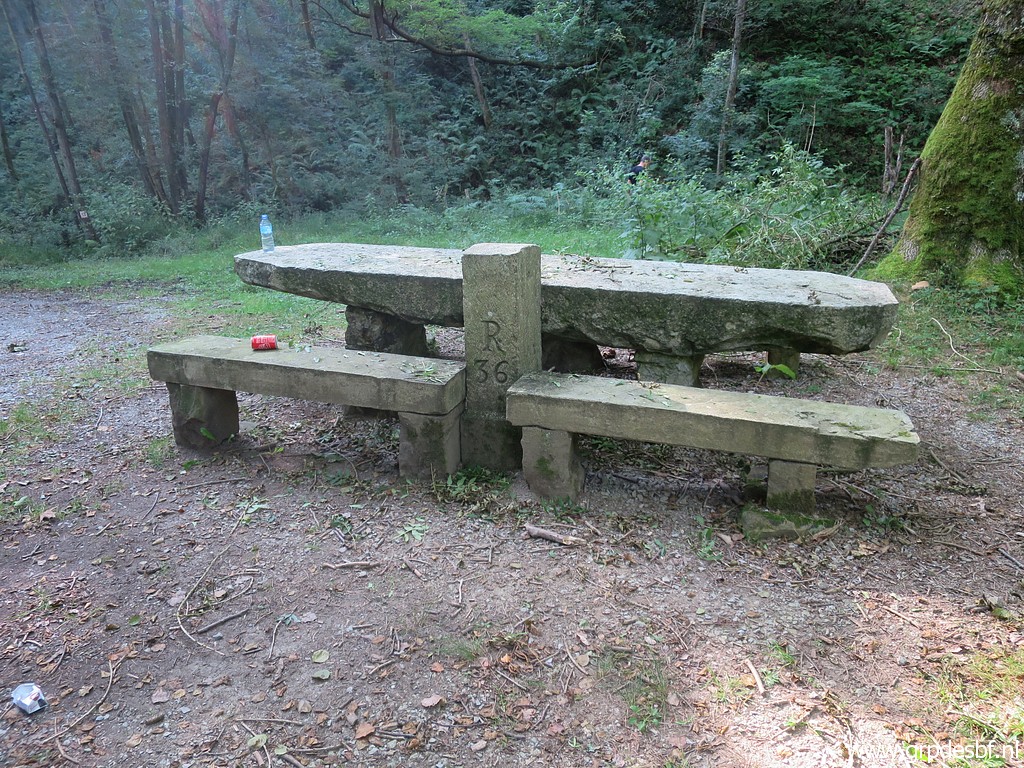 | with its remarkable stone table with its own history. See this page for more information. (click photo to enlarge) |
 | Bm036 (click photo to enlarge) |
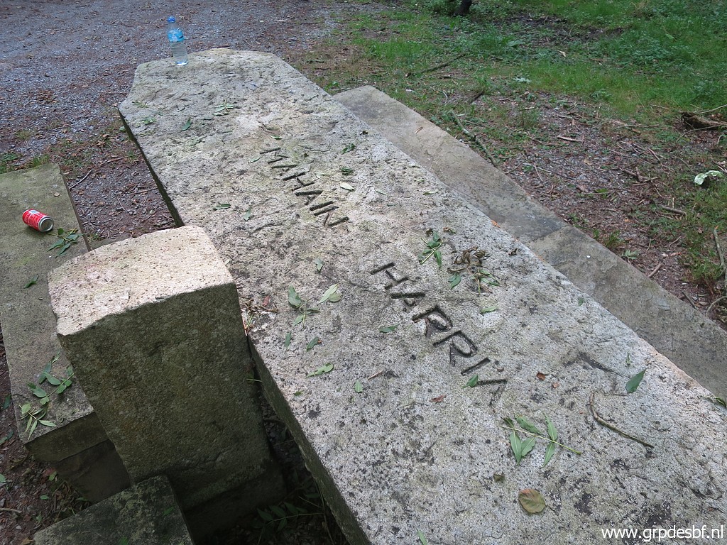 | The table surface, 'mahain harria' means: the stone table.... (click photo to enlarge) |
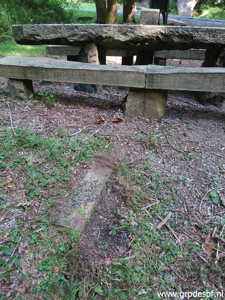 | At the other side the remains of a local marker which has been sawn off at his foot by vandalists. See this blogpost. (click photo to enlarge) |
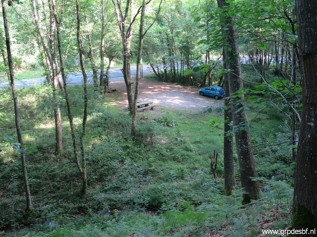
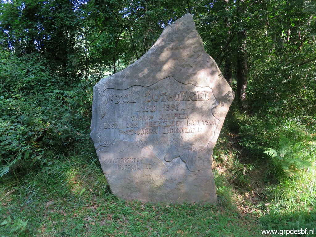 | And a monument at the parking lot. A pity we don't understand the basque language. (click photo to enlarge) |
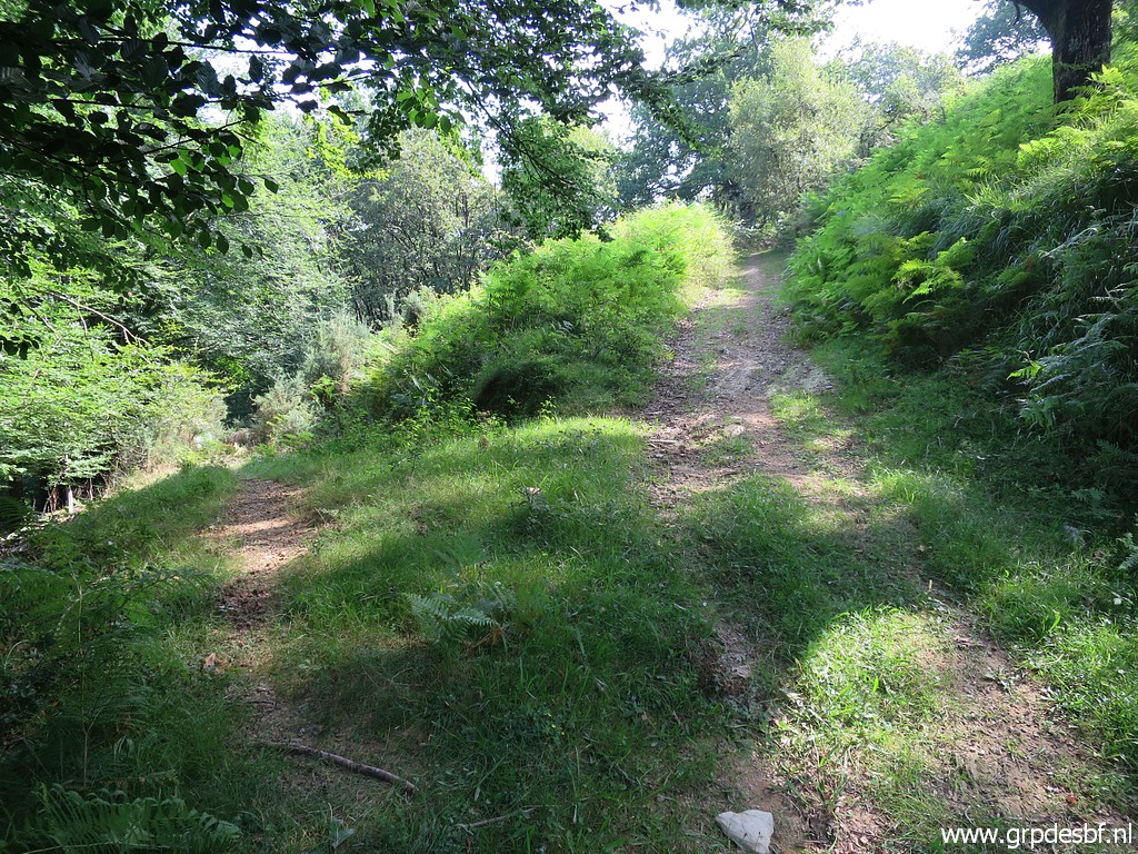
 | On 5-4-2009 I could climb to bm037 on a trail that started SE from the parking lot. That trail doesn't exist anymore. But from the table, there is a new trail entering the forest. You can see that on this picture. (click photo to enlarge) |
 | Looking back at bm036. It arrives at a sort of groove that goes to the E and then curves S ->W, climbing on a vaguer trail along a steep hillside, (click photo to enlarge) |
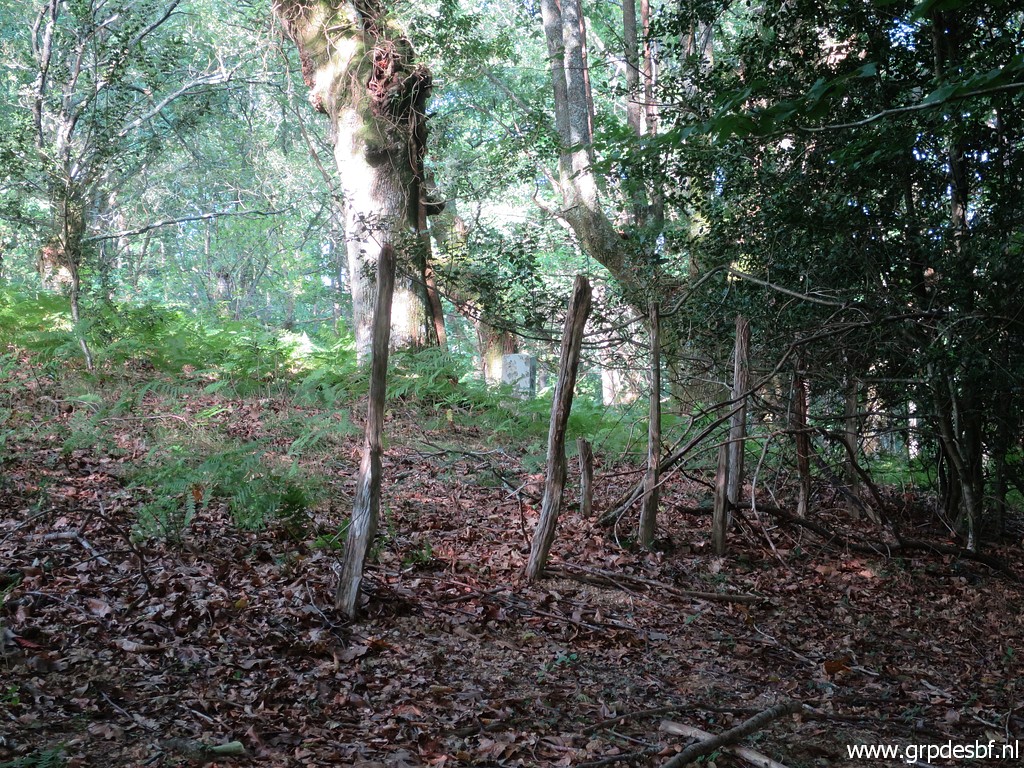 | until it arrives at old fence (only the posts left) (click photo to enlarge) |
 | from where bm037 is already visible. (click photo to enlarge) |
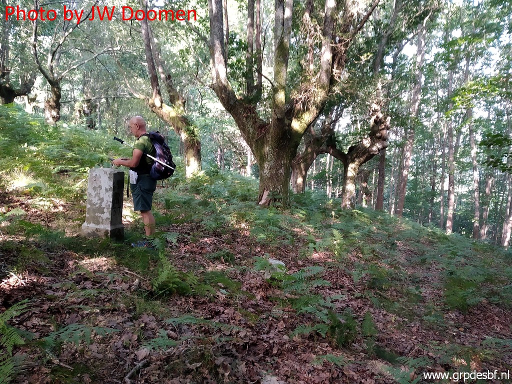
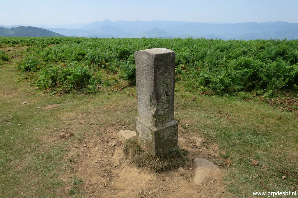
 | Bm037. Note the unknown marker in the front. (click photo to enlarge) |
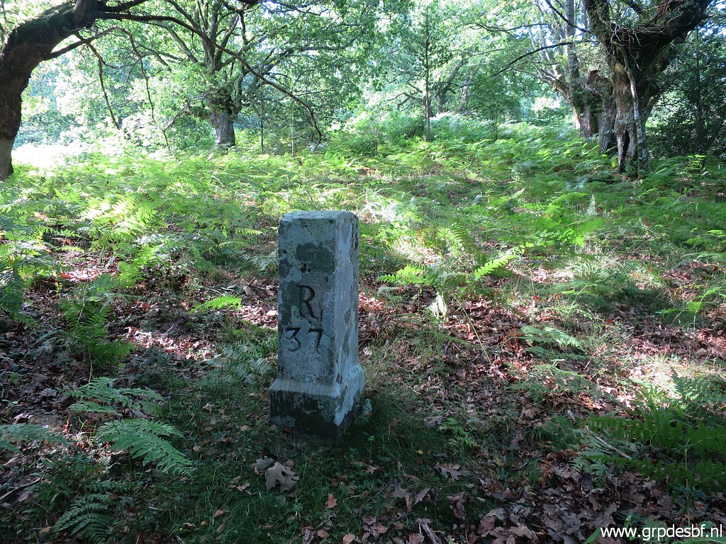 | Bm037 (click photo to enlarge) |
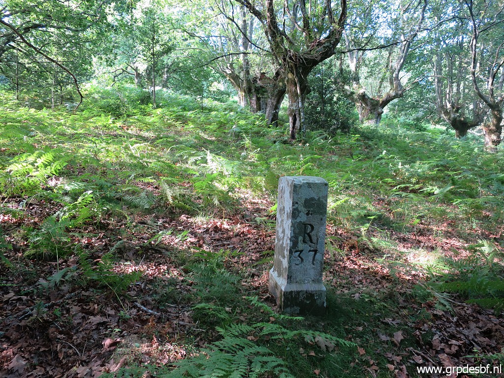 | Bm037 (click photo to enlarge) |
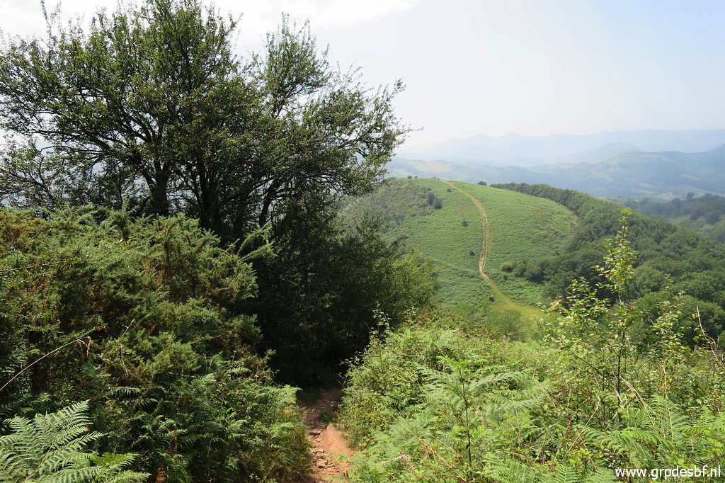
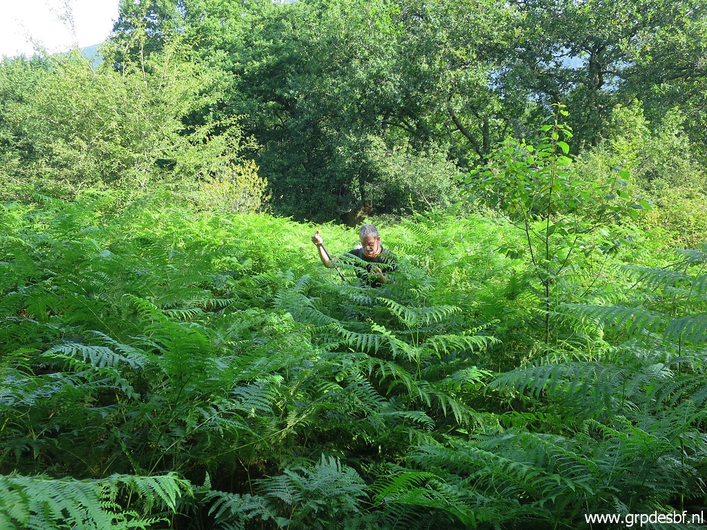 | In the direction of bm038 we find a path going S, but it runs through man-high ferns. (click photo to enlarge) |
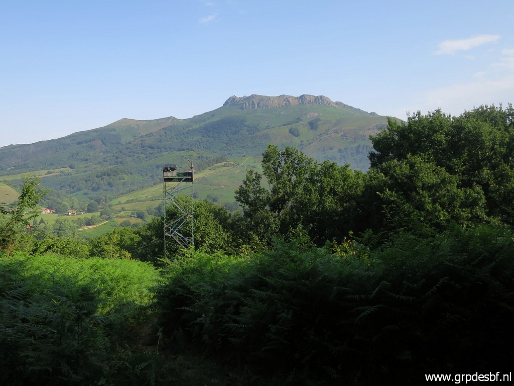 | with a tower somewhere in between (and La Rhune in the distance). (click photo to enlarge) |
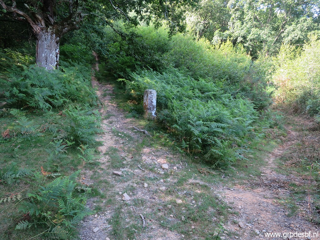 | But we do arrive - after 175m - at a much more distinct path that leads to bm038 and further (steep) uphill to bm039. (click photo to enlarge) |
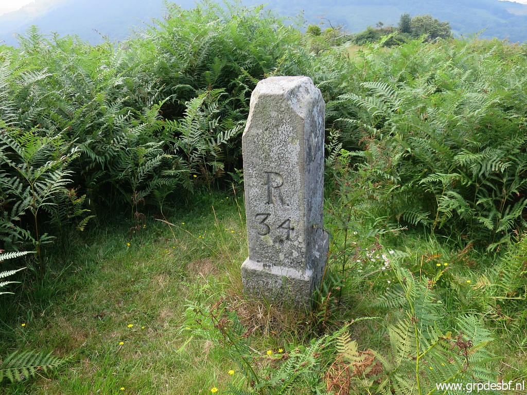
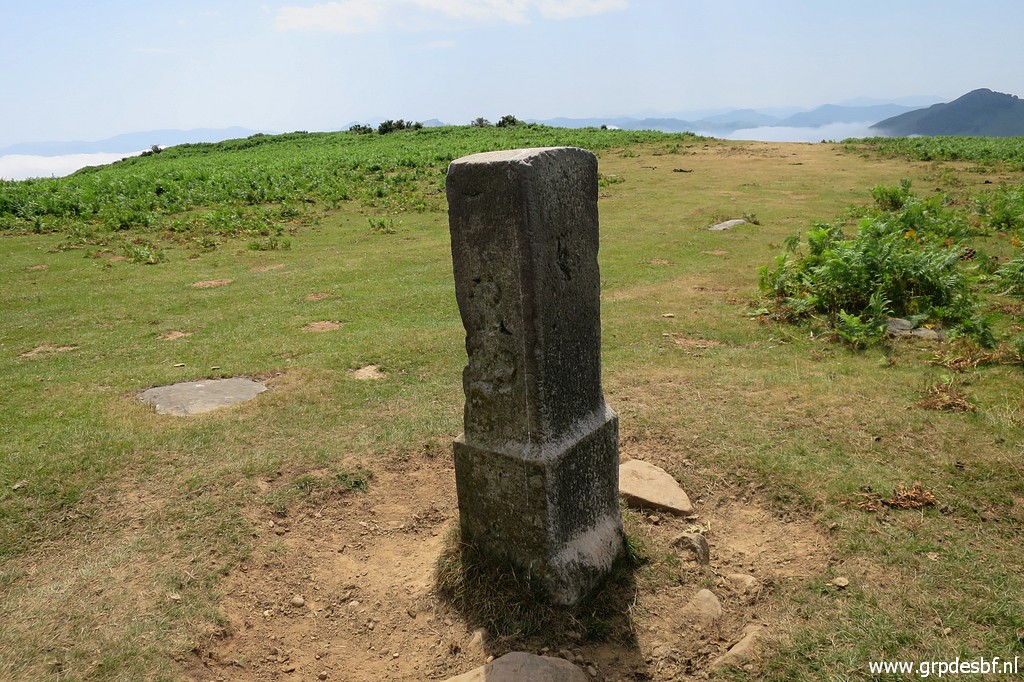
 | Bm038 (click photo to enlarge) |
 | Bm038 (click photo to enlarge) |
 | Bm038. We return along the trail. (click photo to enlarge) |
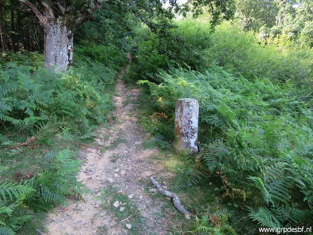
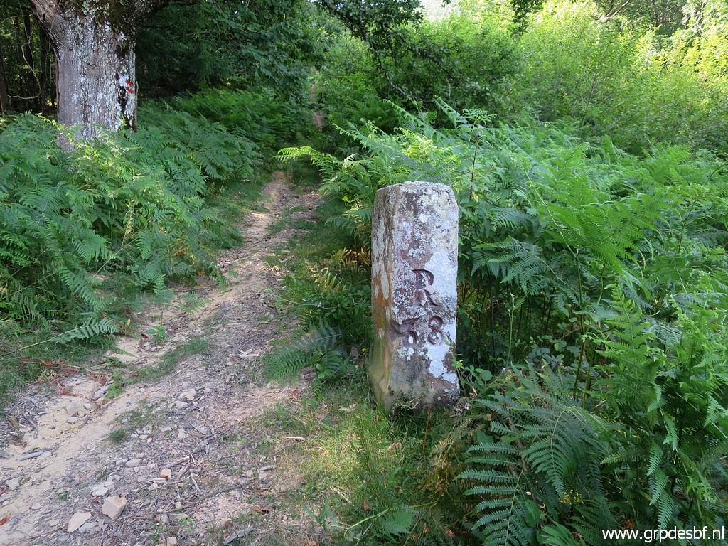
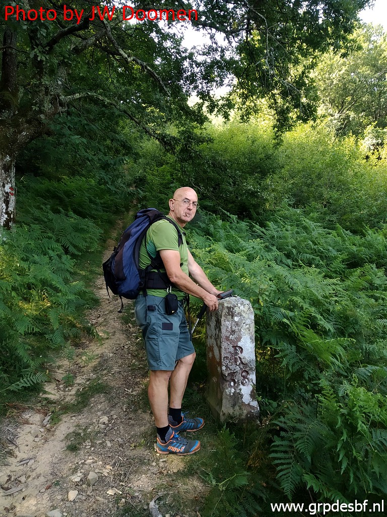
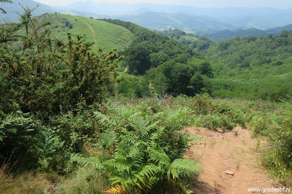
 | On the way back we discover a better way (but a bit of a detour) from bm037 to bm038. From 037 you have to head ± 100m SW to get to a path, that arrives after ± 100m SW at a larger and more distinct path. Take that path uphill to bm038. This picture: this is where the smaller trail arrives at the larger trail that climbs to bm038. (click photo to enlarge) |
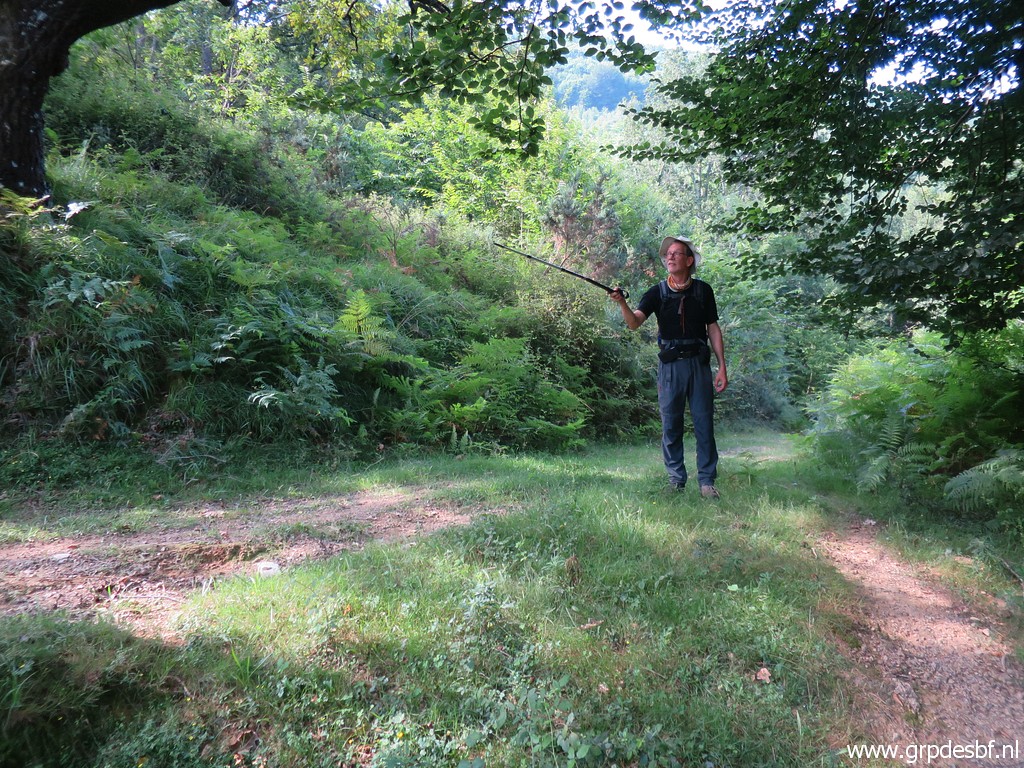 | Same spot but now seen from the smaller trail. Jan-Willem points uphill towards bm038. If there are no ferns then it's easier - from bm037 - to just head S for 175m to arrive at the larger trail towards bm038. (click photo to enlarge) |
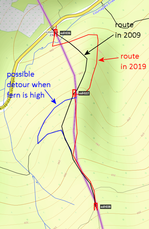 |
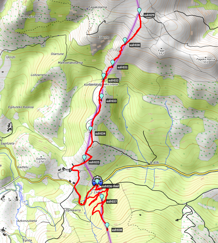
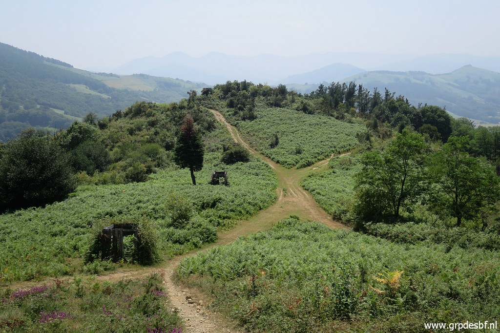
And this map shows the various routes on a map. What is the conclusion? Whatever which trail you find: from bm036 proceed in a half-circle uphill to bm037. From there head S for 175m until you reach a distinct trail. Then climb S to bm038. The detour is an alternative when the fern is high. We return to the car and on the tarmac road we enter Spain and start the second part of our trip: bm035 to bm029. |
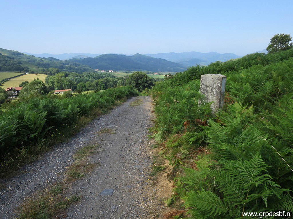 | Bm035, easy access along an easy dirtroad. (click photo to enlarge) |
 | Bm035 (click photo to enlarge) |
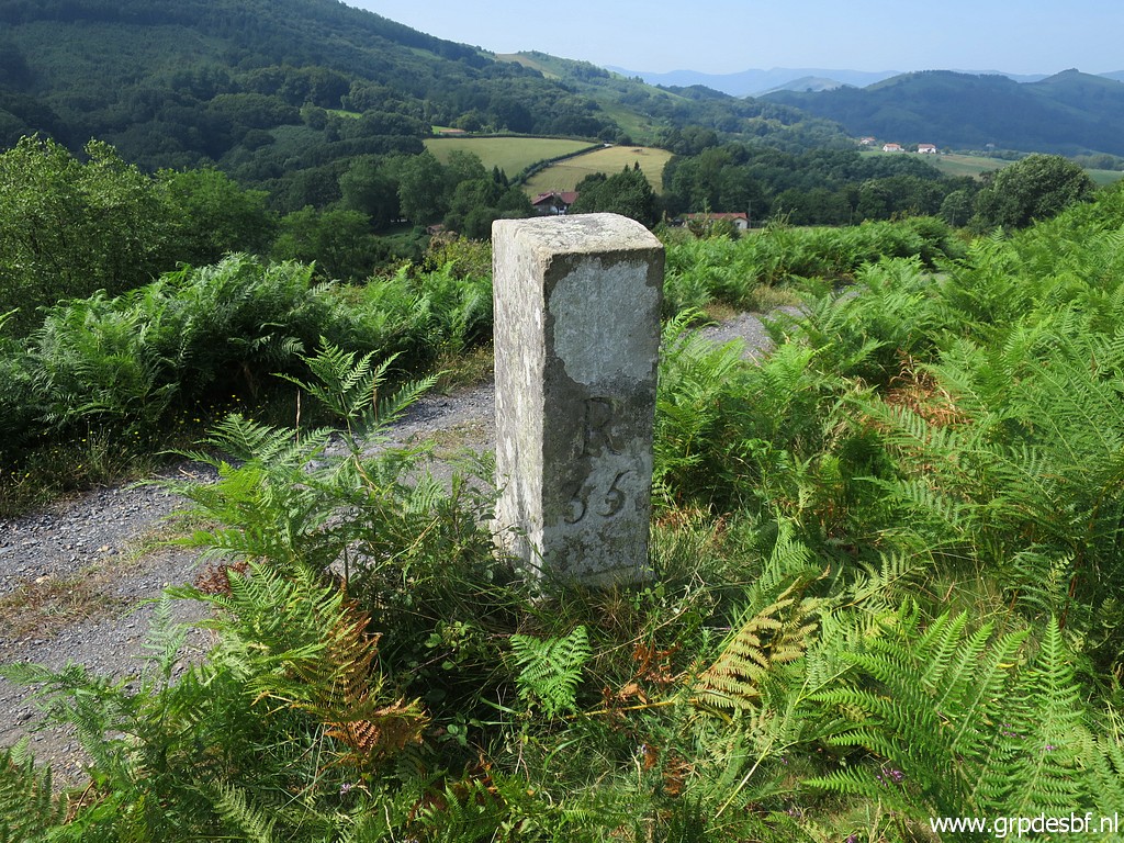 | Bm035 (click photo to enlarge) |
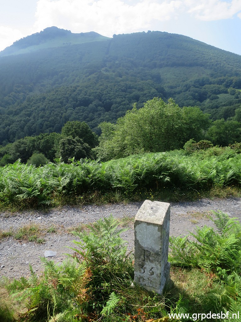 | Bm035, looking to the hilltop of Ibanteli. The borderline climbs towards that hilltop (but W of it). (click photo to enlarge) |
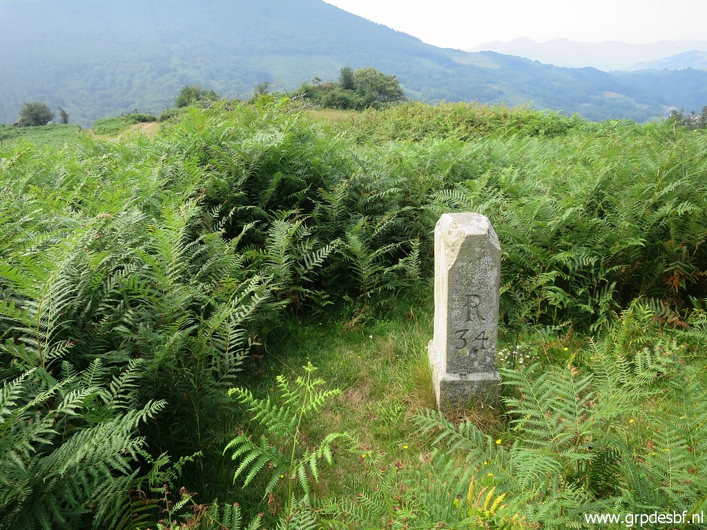 | Bm034 stands about 10m from the dirtroad and is not visible from the dirtroad when the fern is high. (click photo to enlarge) |
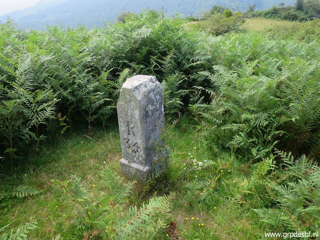 | Bm034 (click photo to enlarge) |
 | Bm034 (click photo to enlarge) |
 | Continuing in the direction of La Rhune. (click photo to enlarge) |
 | Bm033, is about 25m from the dirtroad and can't be seen from it because of the fern. (click photo to enlarge) |
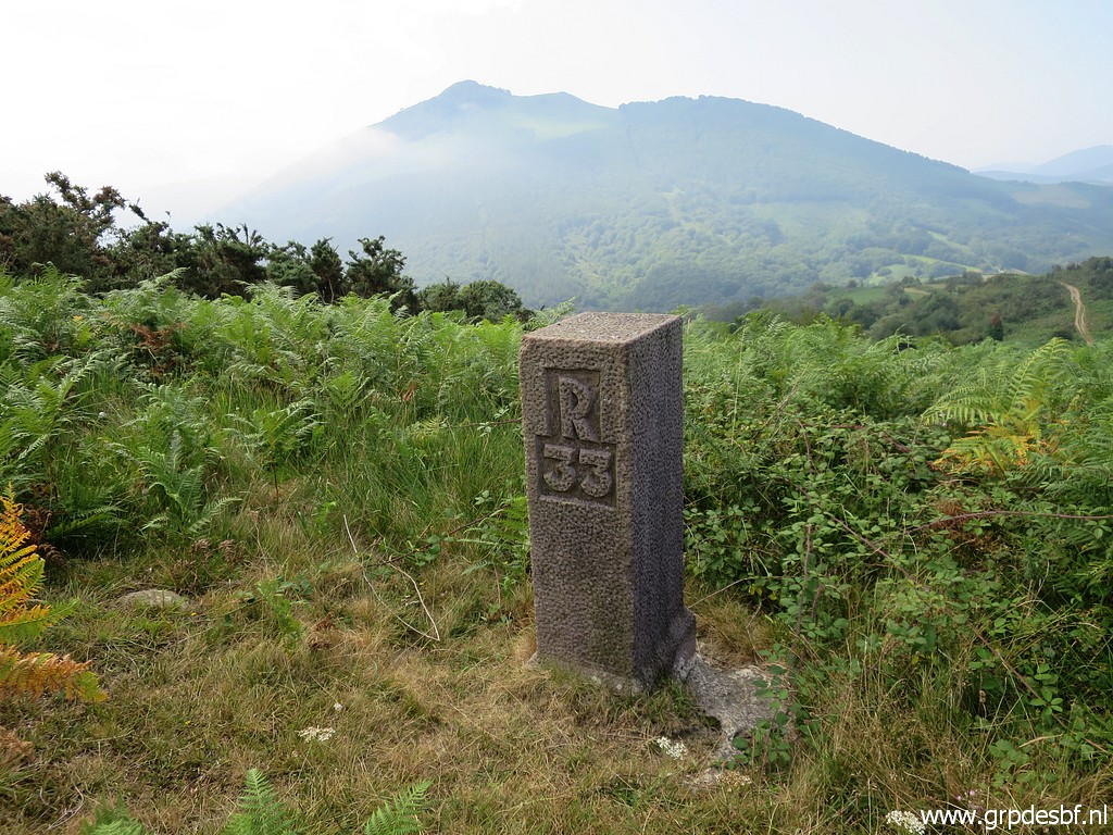 | Bm033 (click photo to enlarge) |
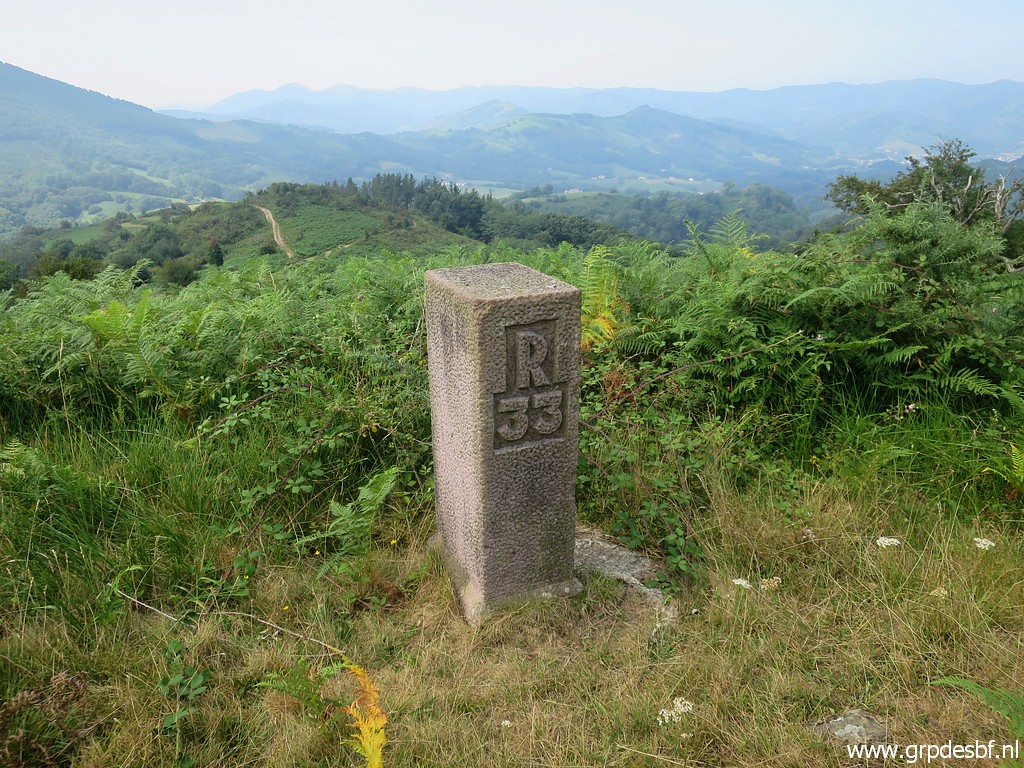 | Bm033 (click photo to enlarge) |
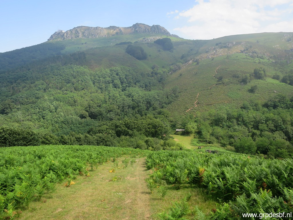 | In the distance you can spot the barn near bm032. (click photo to enlarge) |
 | Bm032 (click photo to enlarge) |
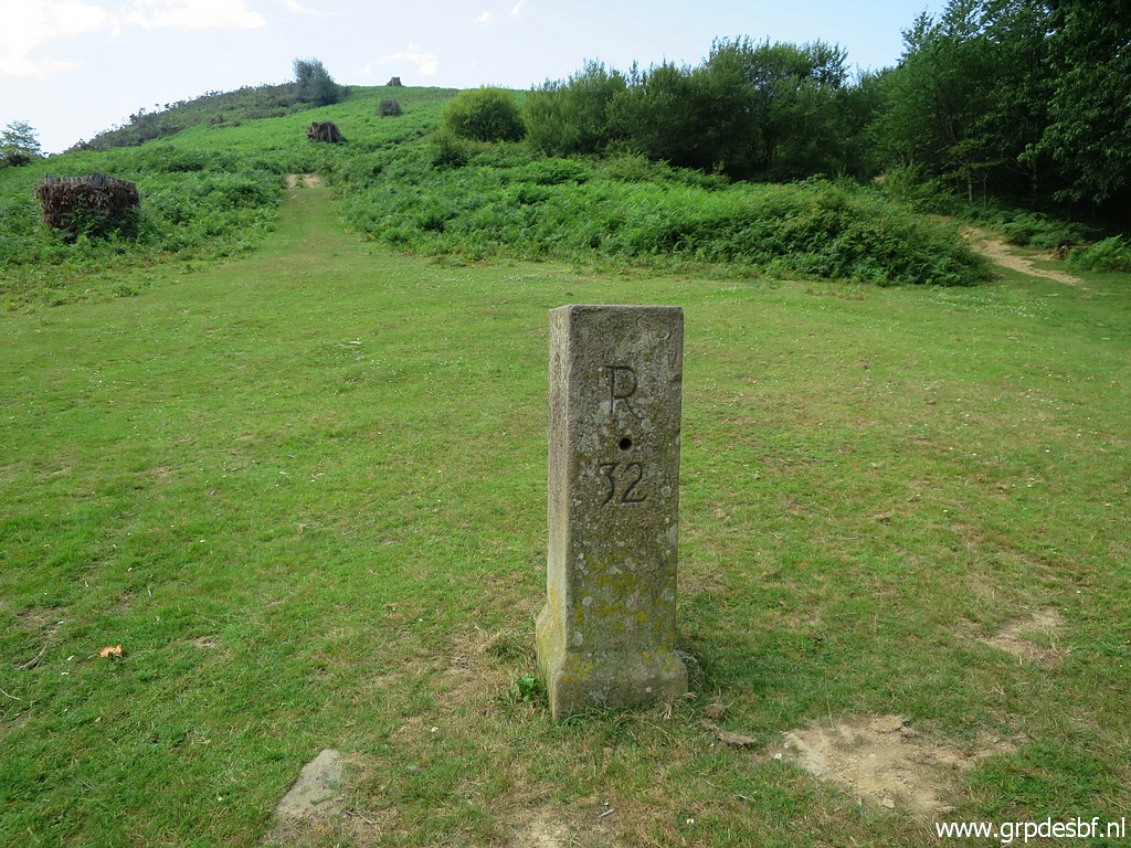 | Bm032 (click photo to enlarge) |
 | Bm032 (click photo to enlarge) |
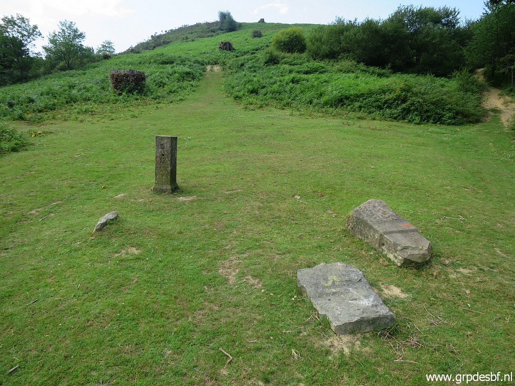 | Bm032 with the old bm032 in the grass. (click photo to enlarge) |
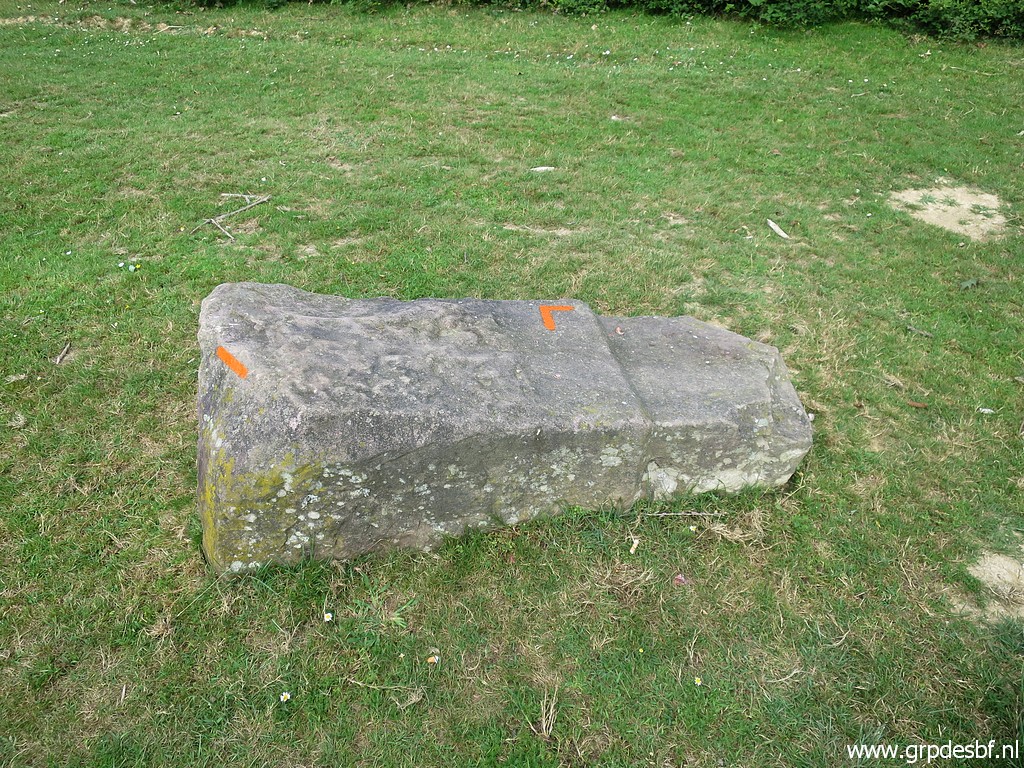 | Bm032, the old one. (click photo to enlarge) So far it has gone smoothly although I had to get off the dirtroad for bm034 and bm033, needing my gps to find them. |
 | But then a steep trail starts going uphill towards bm029. Bm031 is another one which can't be seen from the path. It stands behind a bush, ± 15m E of the trail. (click photo to enlarge) |
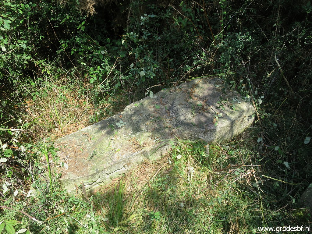 | The old bm031 besides it. (click photo to enlarge) |
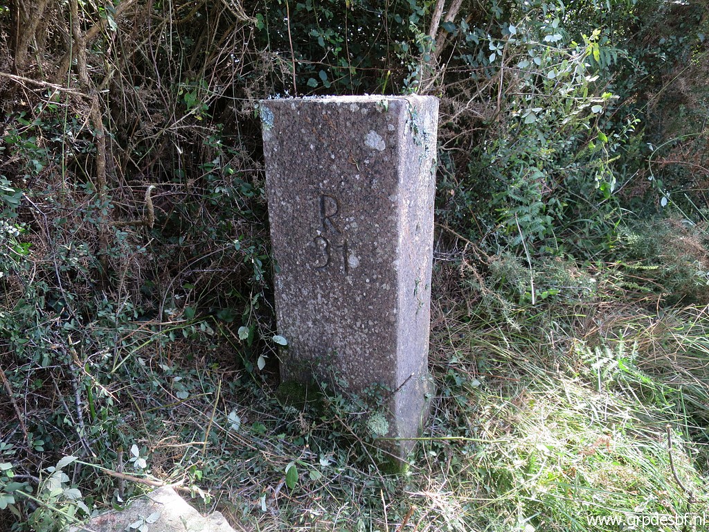 | Bm031 (click photo to enlarge) |
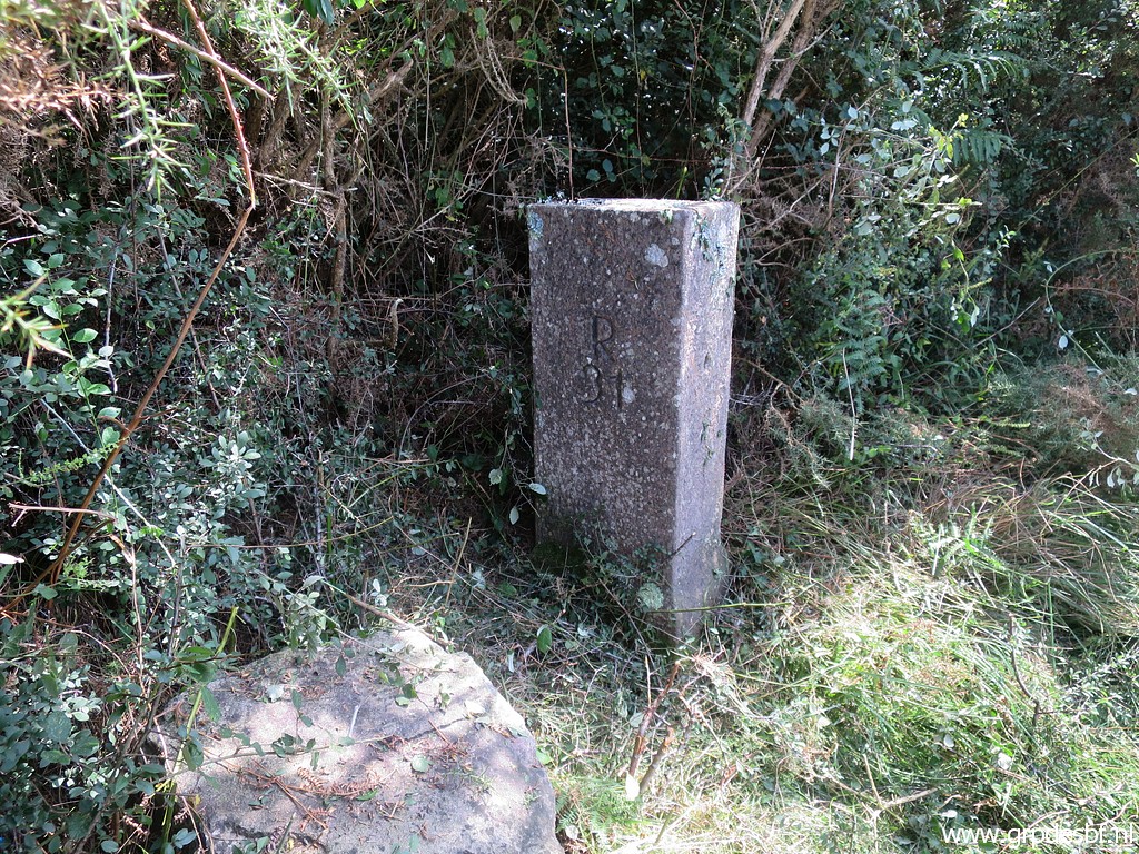 | Bm031 (click photo to enlarge) |
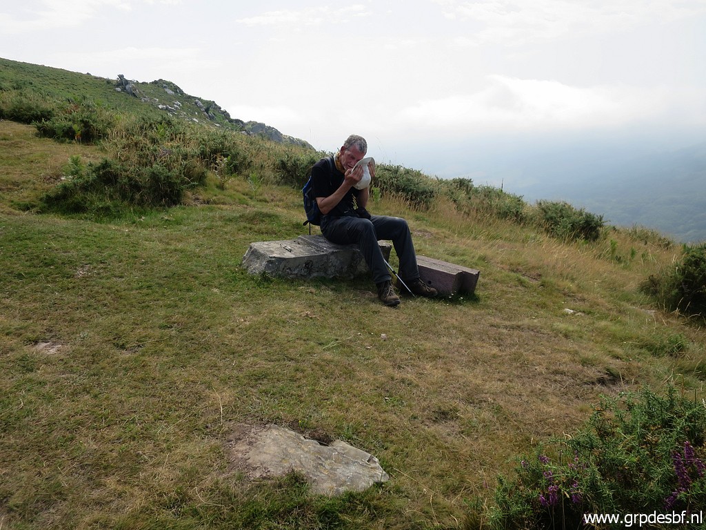 | Jan-Willem is ahead of me climbing easily while I struggle uphill, suffering from the heat. He sits on bm030 and takes a short rest. (click photo to enlarge) |
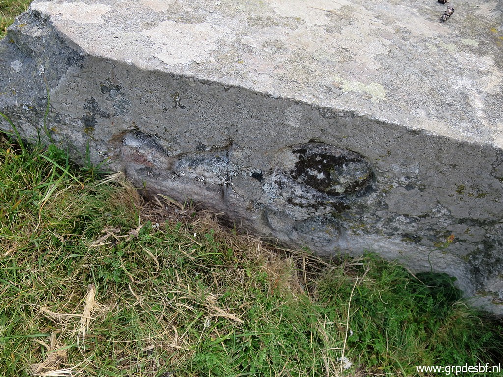
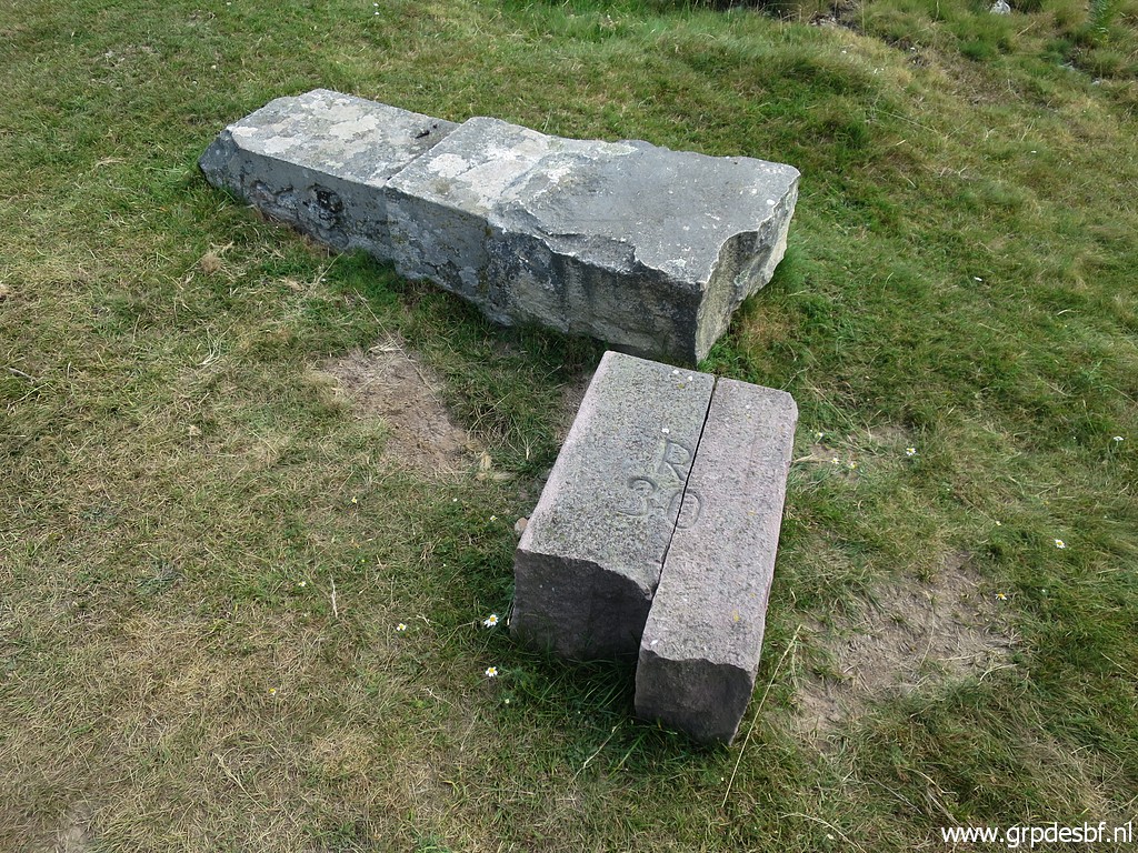
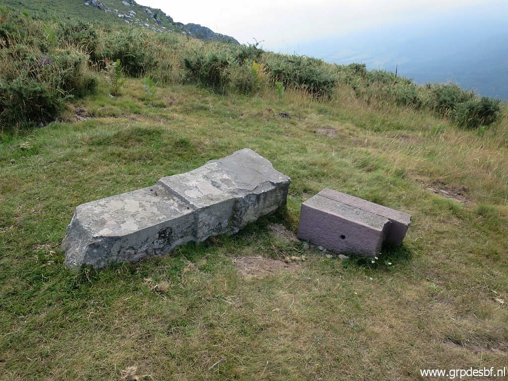 | We see the old bm030 and a broken new one. (click photo to enlarge) |
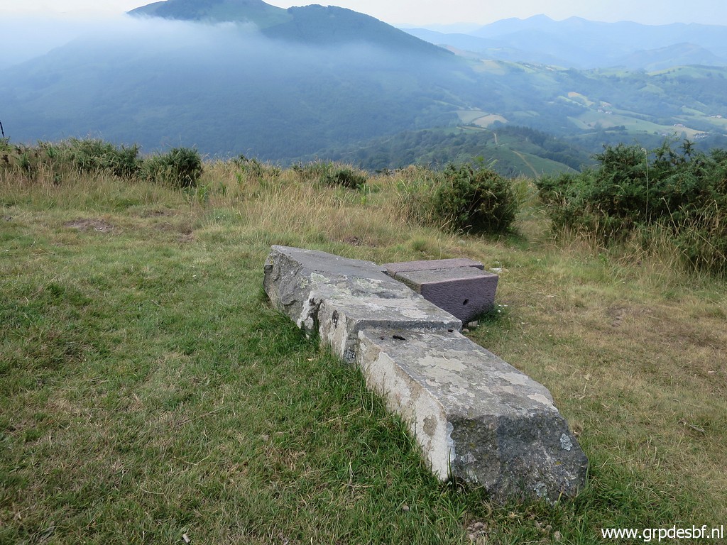 | Bm030 (click photo to enlarge) |
 | Bm030 (click photo to enlarge) |
 | Bm030 (click photo to enlarge) |
 | Bm030, La Rhune ahead. (click photo to enlarge) |
 | Looking back down the steep climb. (click photo to enlarge) |
 | Jan-Willem arrives at bm029. (click photo to enlarge) |
 | Bm029 (click photo to enlarge) |
 | Bm029 (click photo to enlarge) |
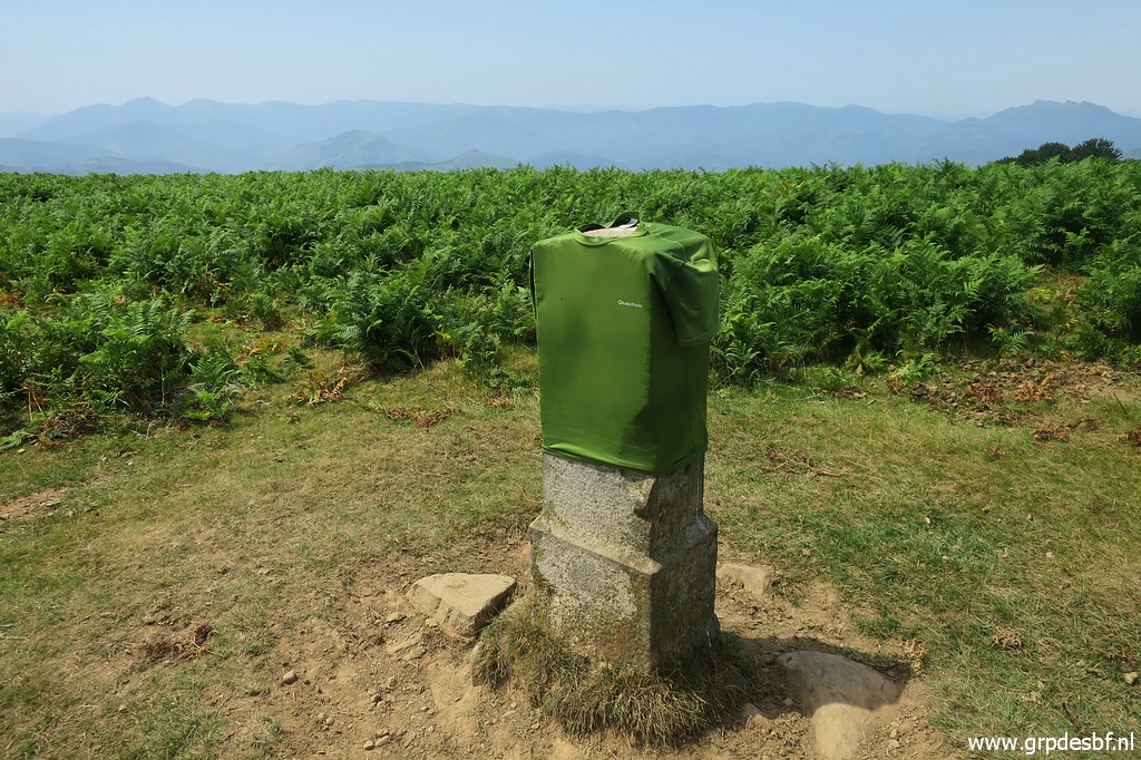 | I'm almost exhausted and need some time (click photo to enlarge) |
 | to recover and dry up. My shirt also. (click photo to enlarge) |
 | Then returning. This is the little bush where bm030 stands behind = left of it. (click photo to enlarge) |
 | Just beyond the bush turn left (click photo to enlarge) |
 | and walk around it to get at bm030, just 15m from the trail. (click photo to enlarge) |
 | A break in the shade under the trees at bm031. (click photo to enlarge) |
 | A peaceful scene. (click photo to enlarge) |
 | Quietly returning. (click photo to enlarge) |
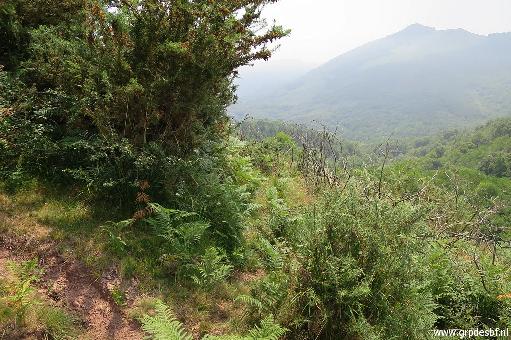
 | In the far distance the peak of Ibanteli. (click photo to enlarge) |
 | Zoom-in to the hillside from bm038 to bm039. (click photo to enlarge) |
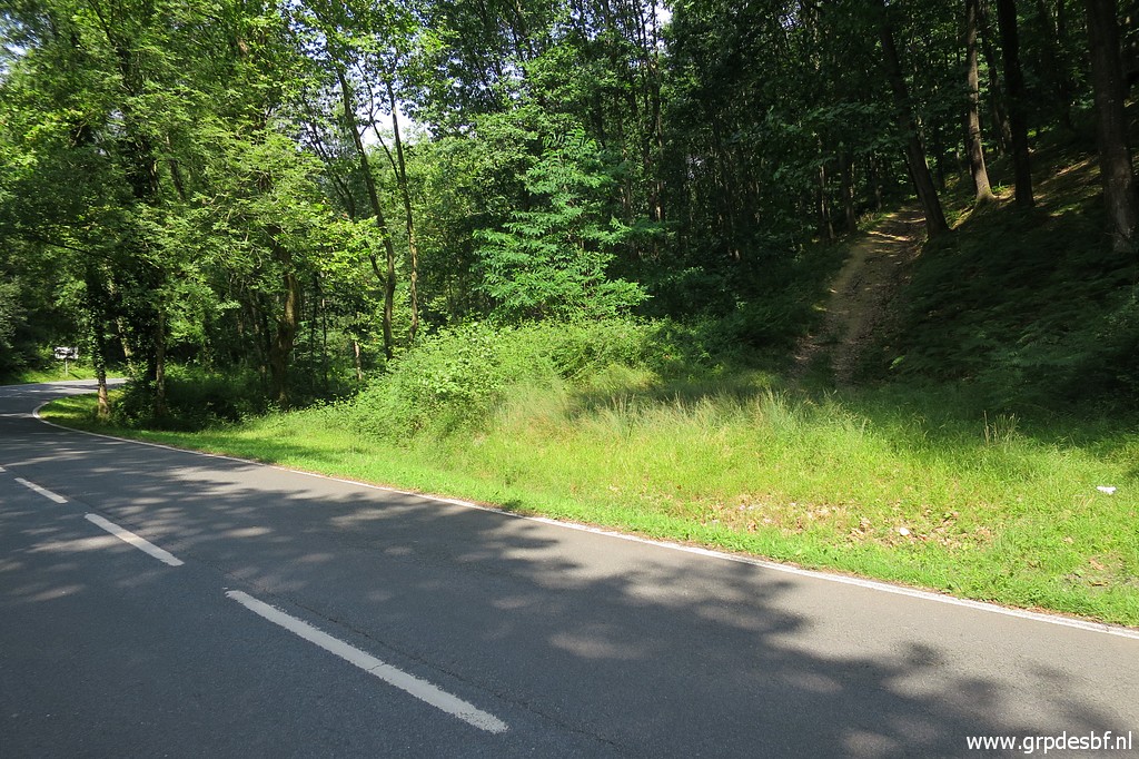 | From the tarmac road we try a forest road uphill which seems to lead to the borderline on the hillside (click photo to enlarge) |
 | but later on bends away into Spain. Enough for today, back to our car and back to the camping. (click photo to enlarge) |
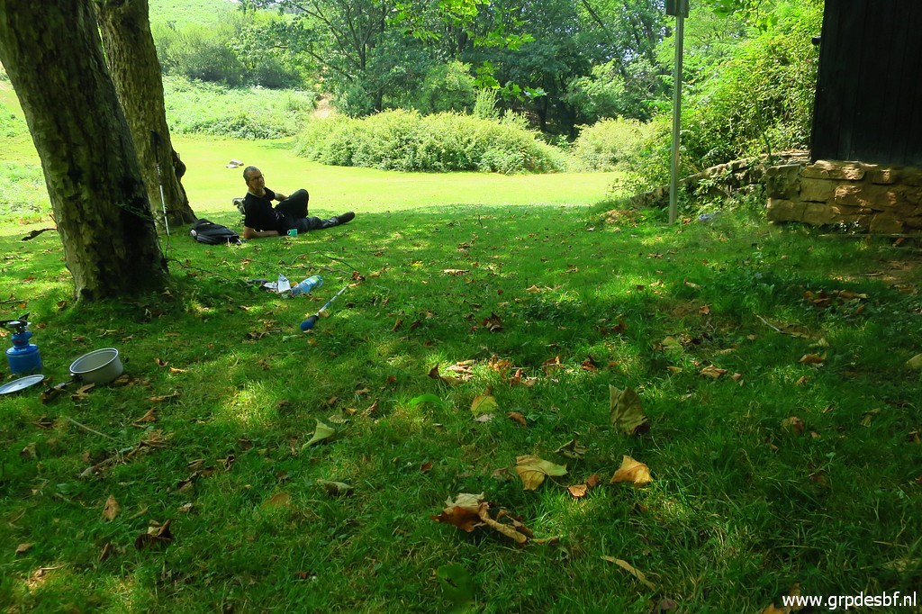
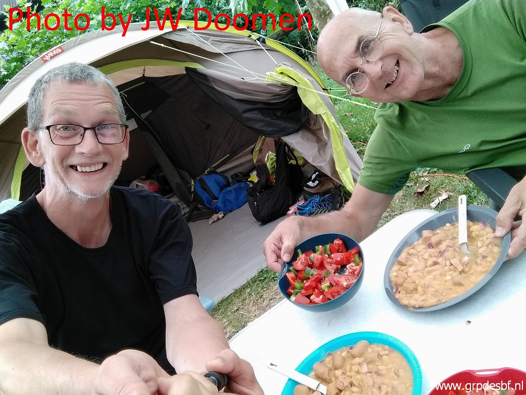 | Our healthy dinner. (click photo to enlarge) The weather forecast for tomorrow predicts rain and thunder. After a very hot week, the weather changes. |
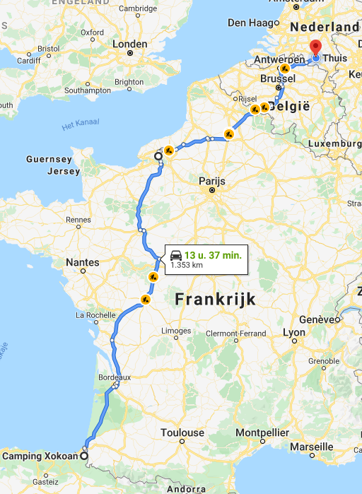 |
So we decide to return home the next morning, driving home in one go. End of a productive, very hot and pleasant trip. |