|
The
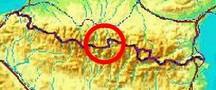
bordermarkers of the Pyrenees : all my trips
 |
|
| -
tuesday 3 september
2019 - Redoing bm330 and traversing to Señal de Viadós and back |
 |
 |
Summary:
part of a series of 11 trips in august-september 2019 in the
Pyrénées-Orientales, Andorra and the Hautes-Pyrénées. This is day 2 of
trip 8. Today: second day of a 3-daystrip, yesterday I climbed from Pont du Prat to the upper valley. Today I continue to bm330 and then try a traverse to Señal de Viadós. Finally I return to the valley for a second night's bivouac. Weather: splendid |
 track-20190903.kml
(click to open this trip in Google Earth or copy link to Google Maps; click right on this link to download gpx-version). The gps-track has not been manually corrected which explains the inaccuracy and misalignment at some points. For cartographic backgrounds: see the cartography-page Gps-waypoints of all bordermarkers (most recent version): kml: esfr-bordermarkers-all-waypoints.kml gpx: esfr-bordermarkers-all-waypoints.gpx |
|
 |
According to Garmin
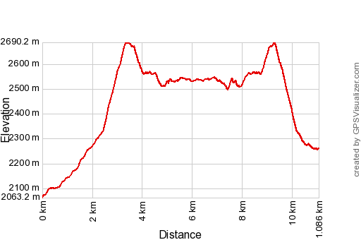
Basecamp (uncorrected track): Distance: 11,1 km Max-height: 2693m Min-height: 2062m Elevation: +1031m -805m Total elevation: 1836m Start 8:39 Finish 17:37 Total time: 8:58 |
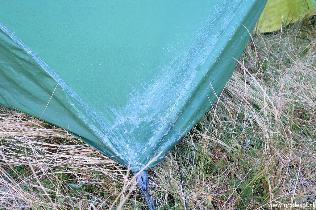
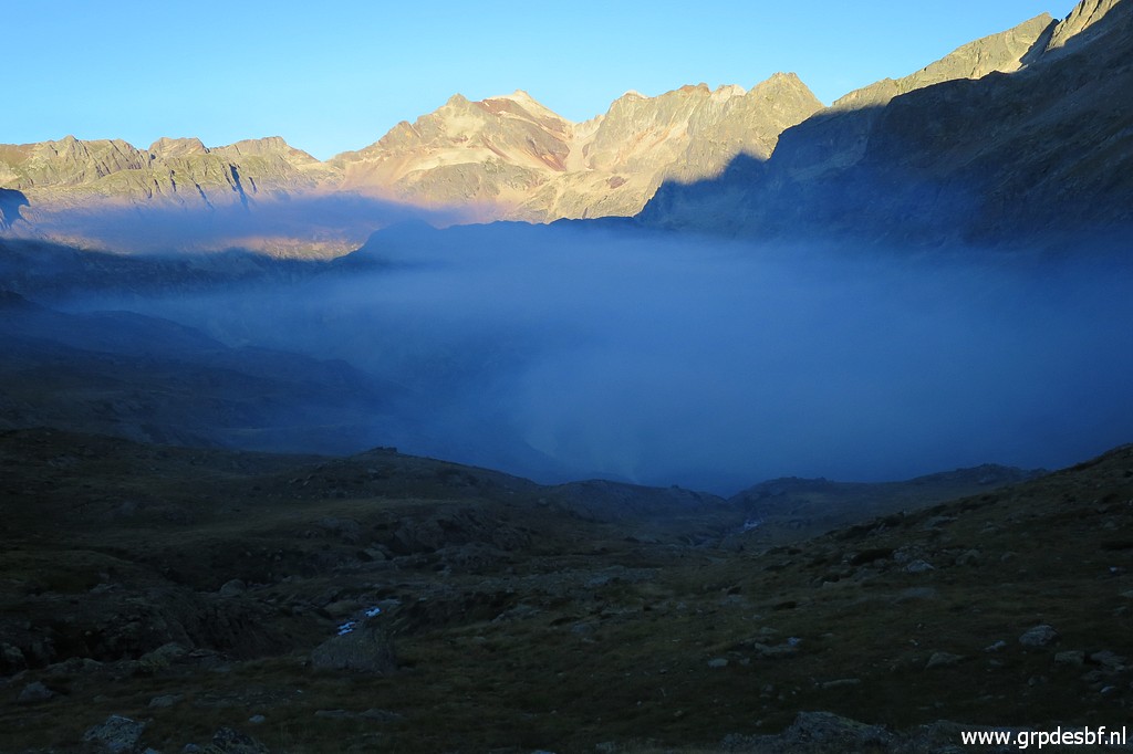
 | Yesterday ended cold and foggy. At night - when leaving my tnet for a pee - the sky had become clear and I could spot the Milky Way. (click photo to enlarge) |
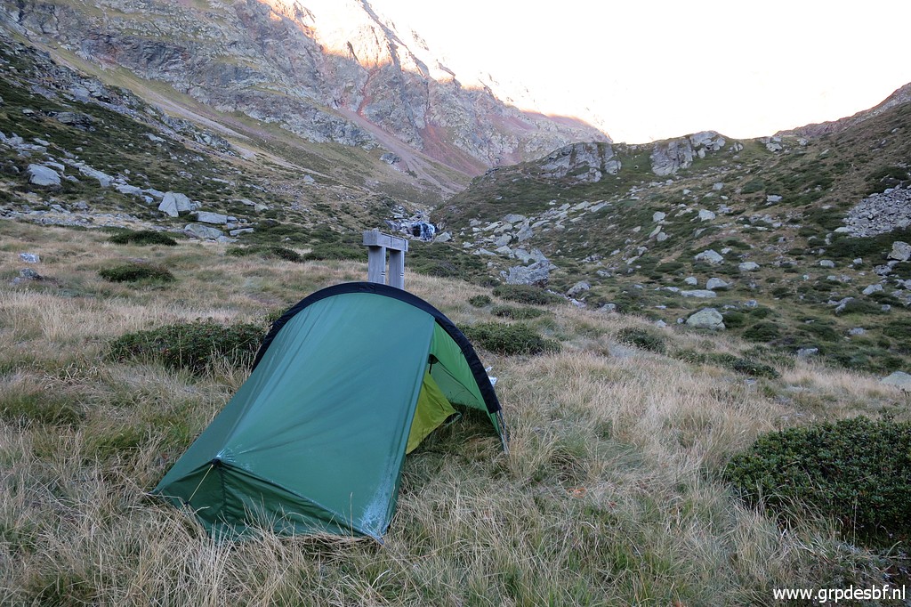
 | It has been a cold night, a bit of ice on my tent. My shoes and socks are still wet & cold from yesterday. (click photo to enlarge) |
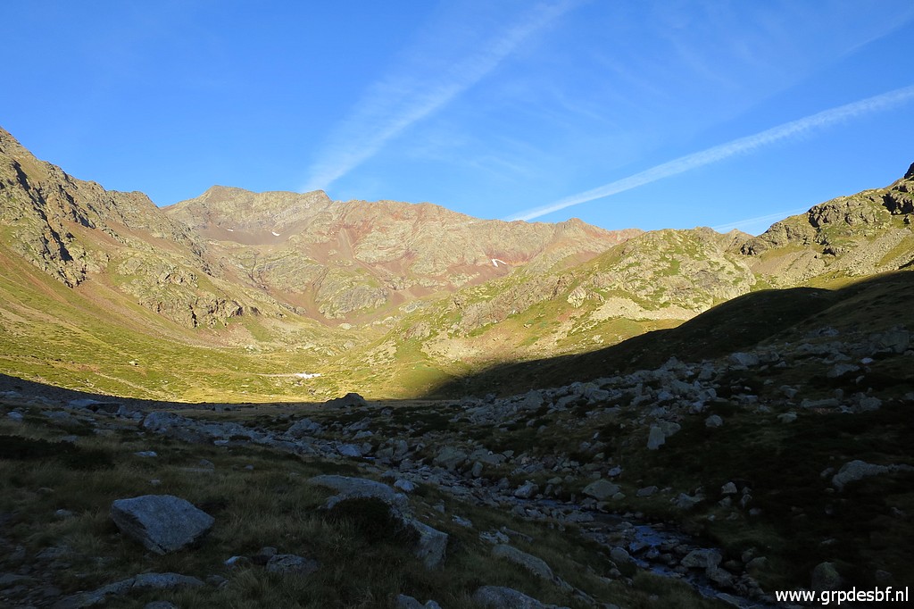 | But it wil become a splendid day and once in the sun, I quickly warm and dry up. (click photo to enlarge) |
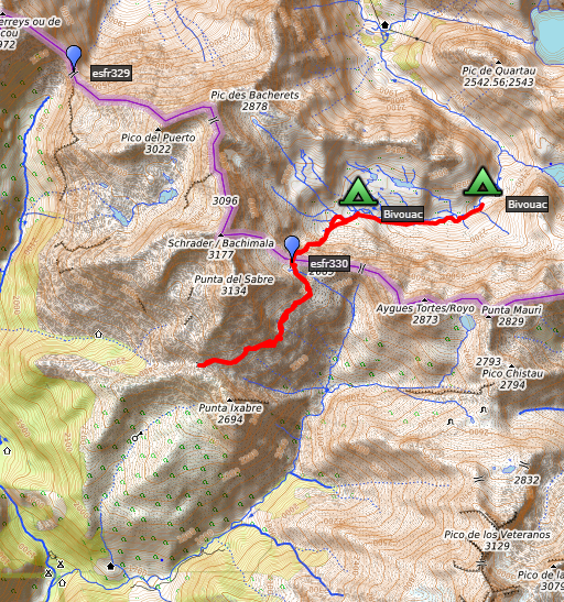
 | I climb steadily along a trail towards Port d'Aygues-Tortes (bm330) (click photo to enlarge) |
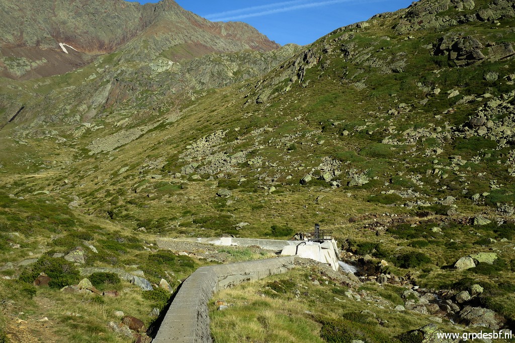 | This is a small barrage from where a water-pipeline (in a concrete cover) runs E. I will explore that pipeline-course tomorrow. (click photo to enlarge) |
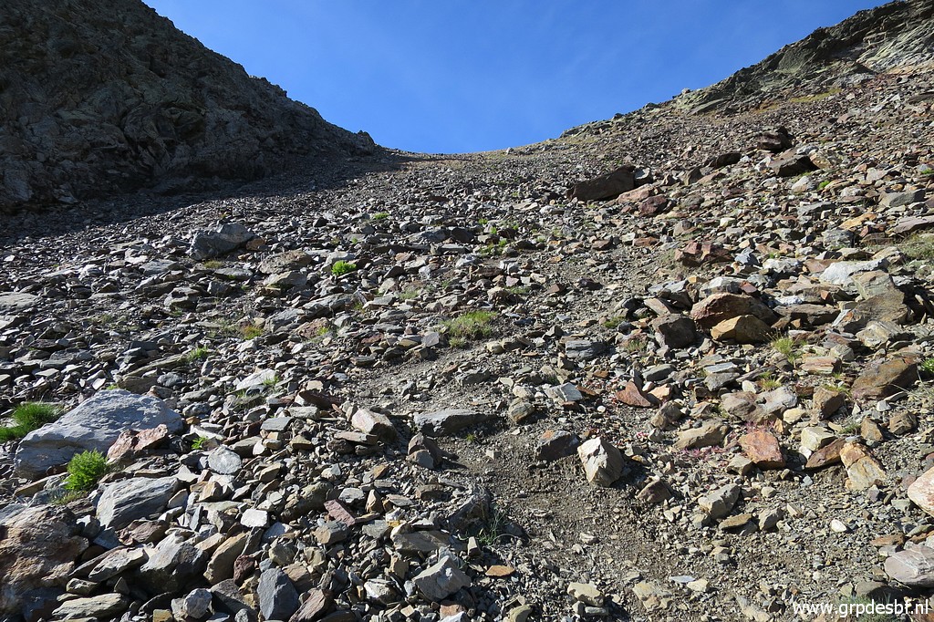
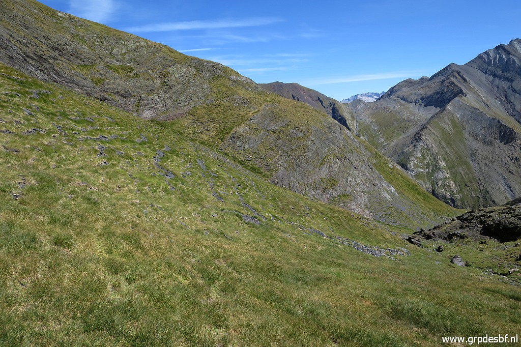
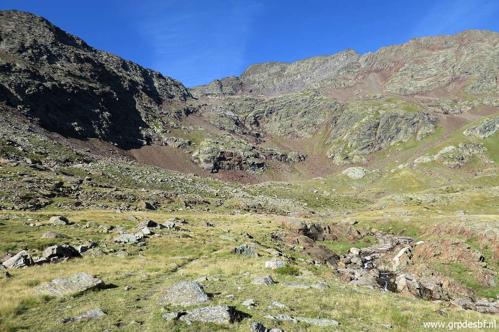 | Continuing to the final ascent of Port d'Aygues-Tortes. (click photo to enlarge) |
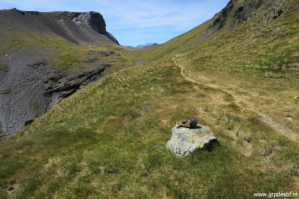
 | There is a distinct trail uphill. (click photo to enlarge) |
 | Further uphill, this view back down the valley (click photo to enlarge) |
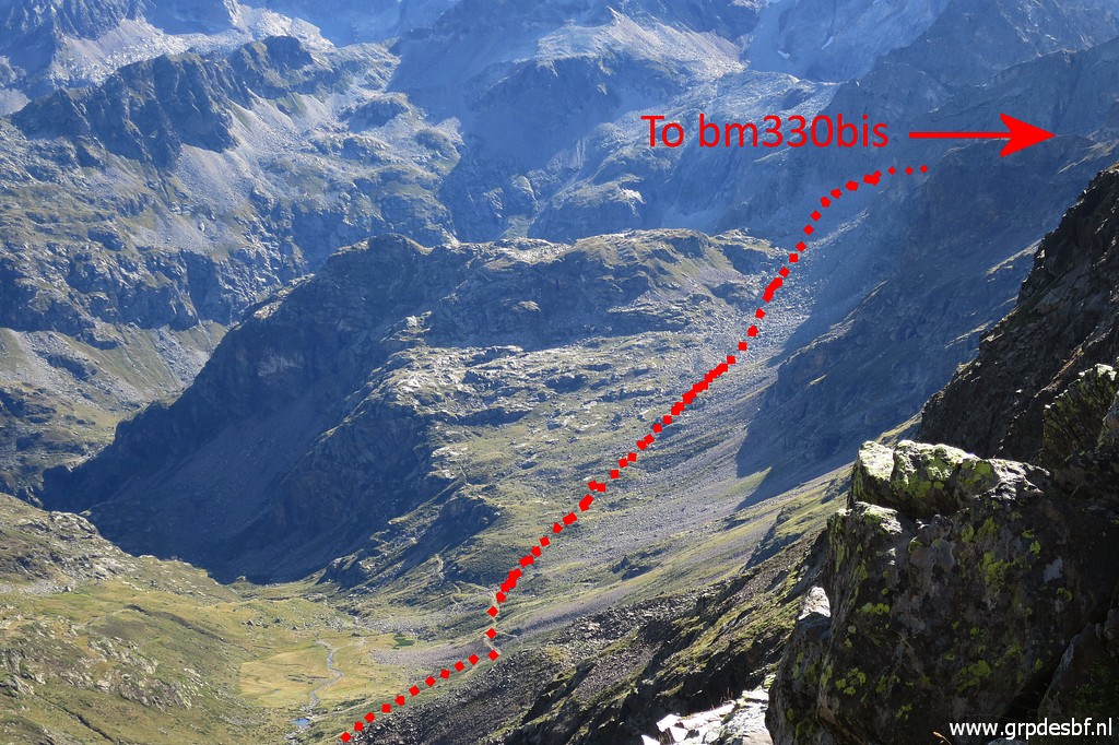 | with - zoom-in - part of my route from Port d'Aygues-Tortes (bm330) to Port de Clarabide (bm330bis). You might spot in the lower part the concrete pipeline mentioned above. (click photo to enlarge) |
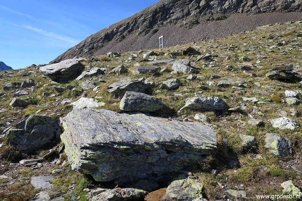
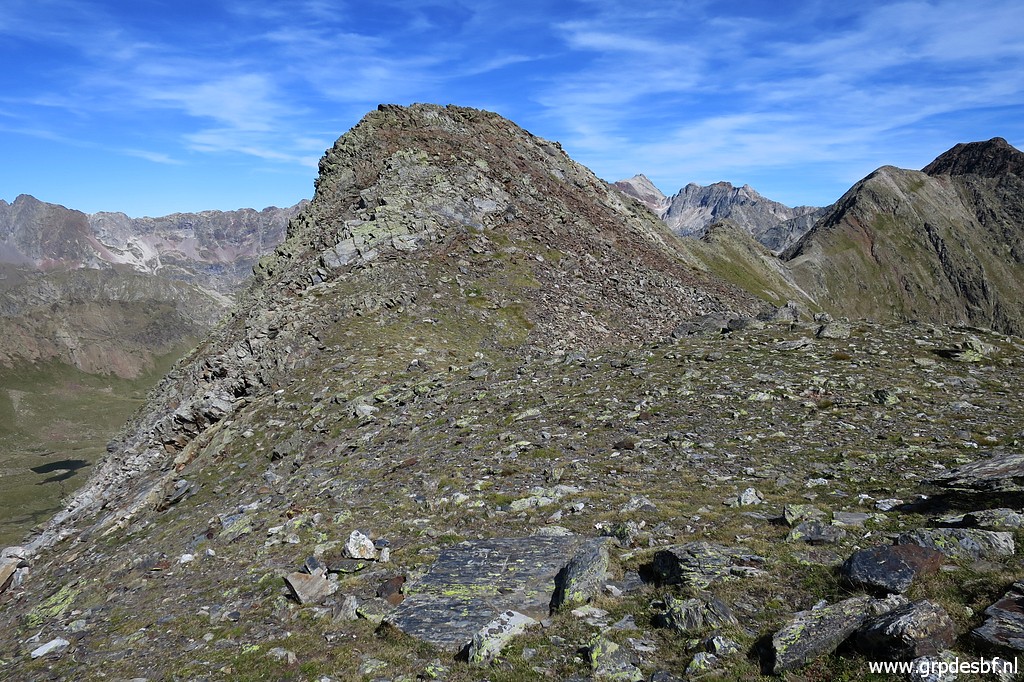
 | Almost at the Port and (click photo to enlarge) |
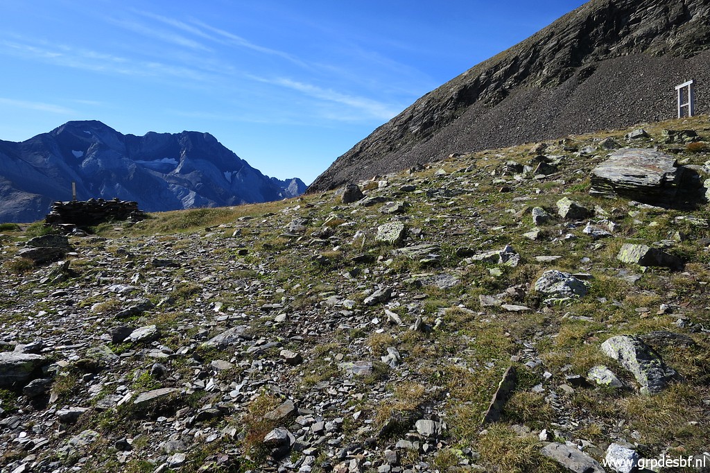 | now I have arrived there at 11 am, after 660m climbing. (click photo to enlarge) |
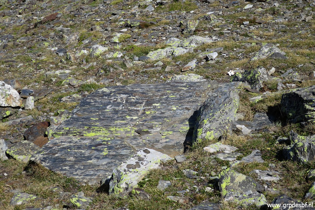
 | The flat rock with bm330 (click photo to enlarge) |
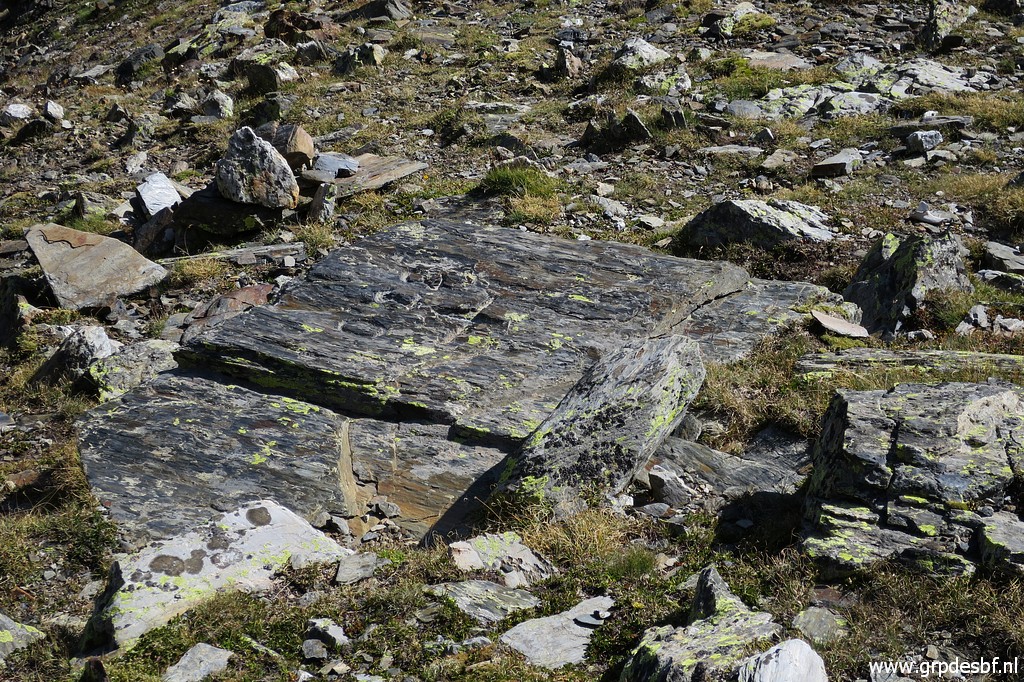 | might need some searching. (click photo to enlarge) |
 | Bm330 (click photo to enlarge) |
 | Bm330 (click photo to enlarge) |
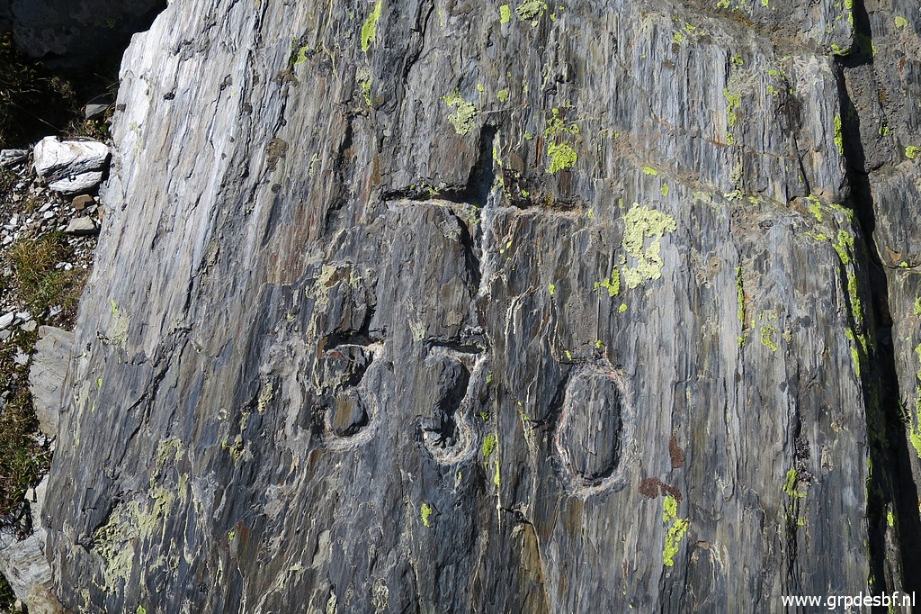 | Bm330 This bm was once considered as lost and was replaced by a new engraving. But not at this pass but at a pass 3,5km to the east! That new cross is now indicated by me as bm330bis. Read more about this peculiar story on this page. (click photo to enlarge) |
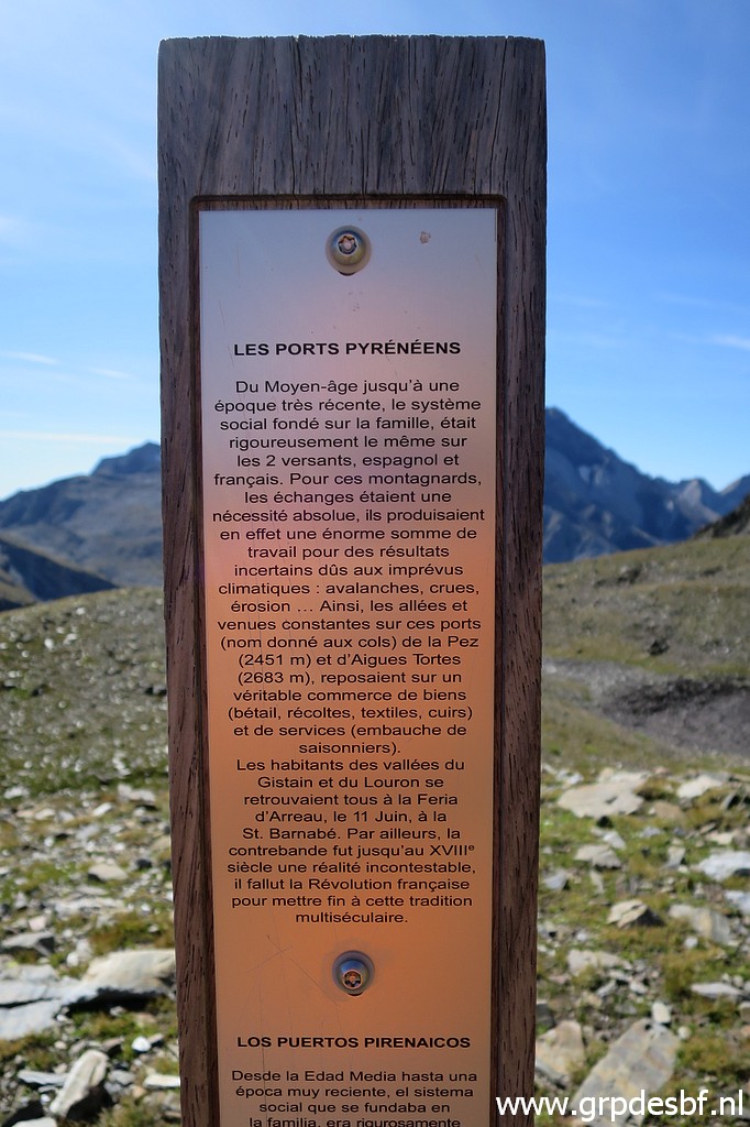 | Even here we see an information board with (click photo to enlarge) |
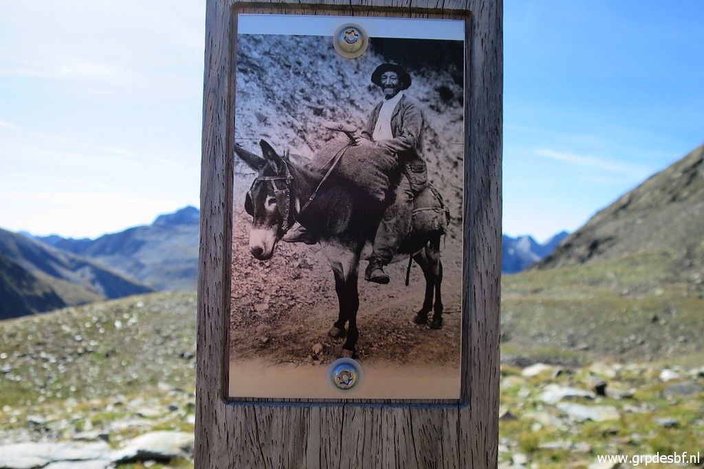 | a picture of how cross-border transport was done in the old days. (click photo to enlarge) |
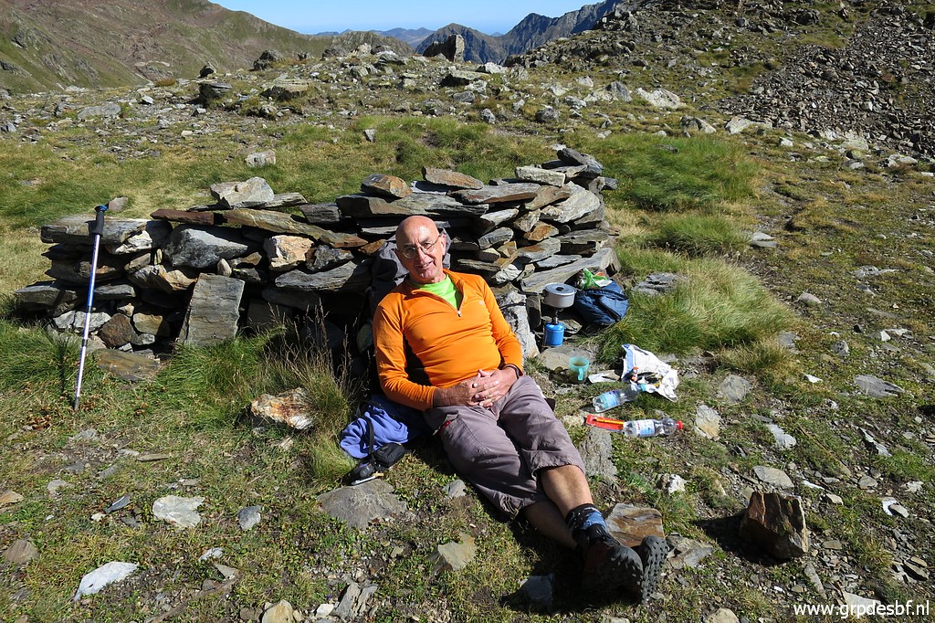 | Lunch-break in the sun. I chat with a passing HRP-walker and I meet more of them on the route to bm330. So far, so good. (click photo to enlarge) |
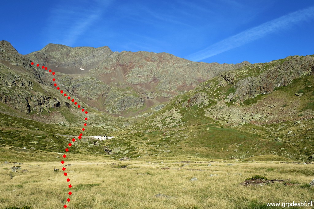
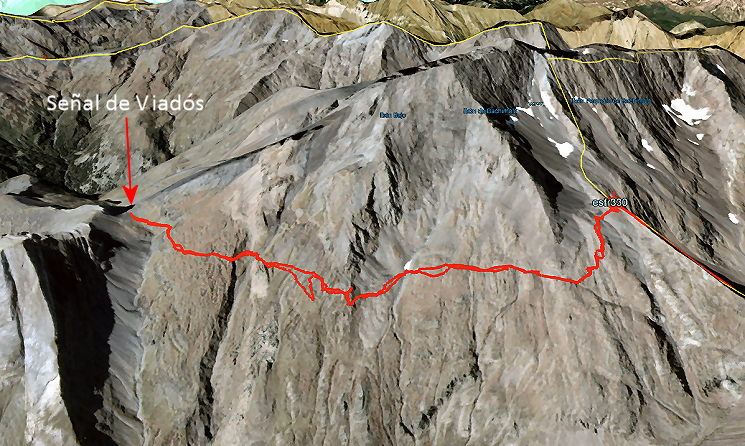
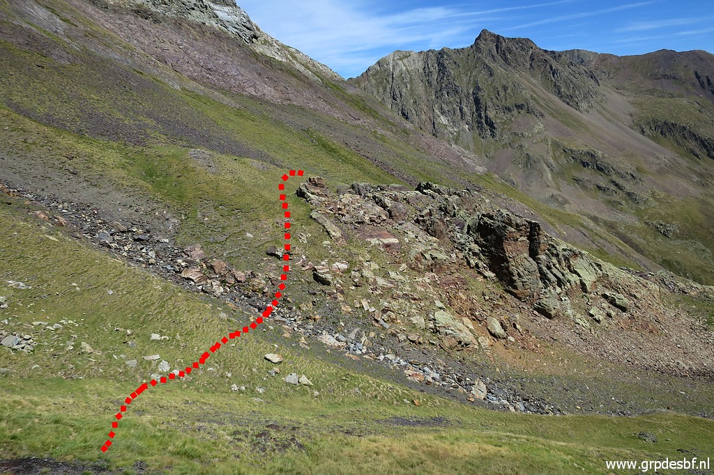
 | Now I will try a traverse to the pass of Señal de Viadós. Charles Darrieu showed me that route on TopoPirineos. That's a map to be used in Garmin's Basecamp-program with lots of trails cq routes which you won't find at the regular maps. But a route doesn't necessarily imply a physical trail. (click photo to enlarge) Let's show that traverse on a map with some explanation: |
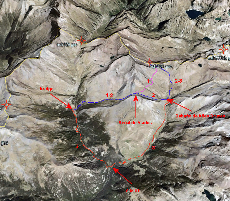 My traverse is about the purple part of route 1. Why this exploration of this traverse? Potentially, this would be a nice short-cut from the 'bridge' via Señal de Viadós along the mountainside to bm330. That is route 1 on the map. It will require good weather and a gps with a track or waypoints to guide you along the mountainside. The alternative is to make a half-circle to the south along Viadós. Will this shortcut save you much time and effort to get from the bridge to bm330? Well, not much. My estimation is that is will save you 2 hours and 600m elevation. The southern alternative is completely on waymarked and distinct trails and passes a Refugio and camping spots. |
|
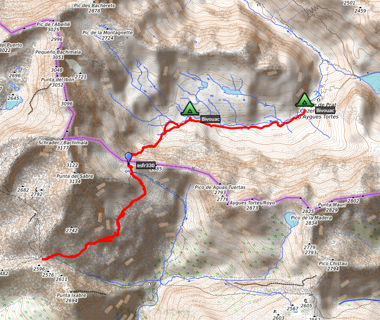
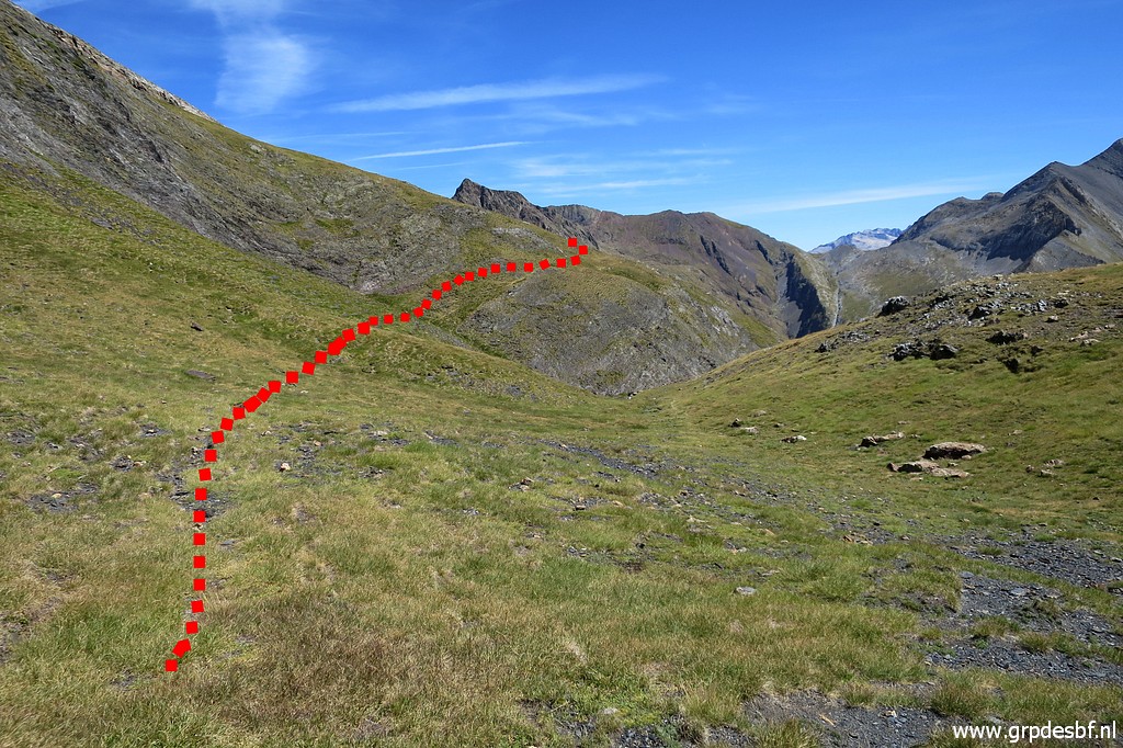
 | I have loaded the waypoints of this traverse in my gps and I proceed point by point to Señal de Viadós. That navigating from waypoint to waypoint takes extra time but the route itself provides no particular problems. (click photo to enlarge) |
 | A zoom-in to Señal de Viadós, my destination. (click photo to enlarge) |
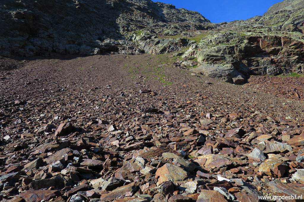
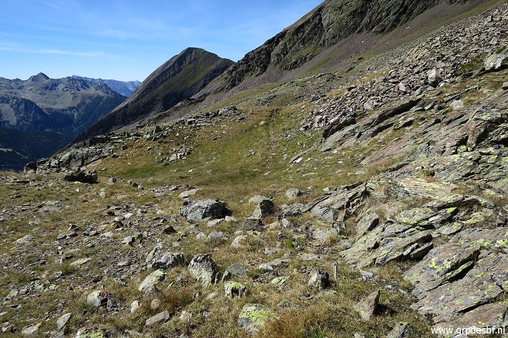
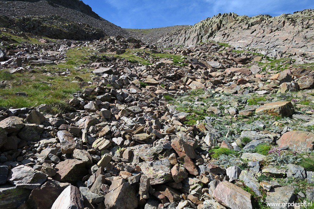
 | There's no trail. Sometimes I spot a cairn but too few to rely on. (click photo to enlarge) |
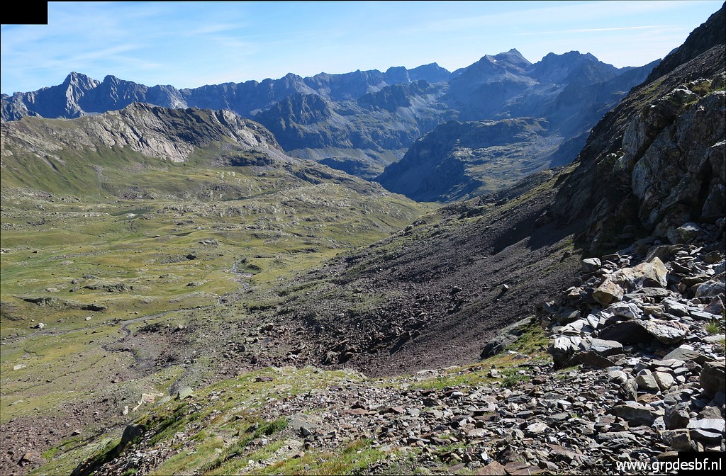
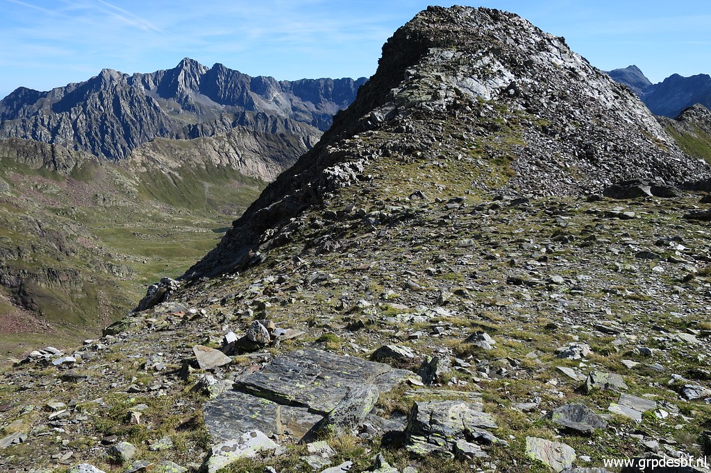
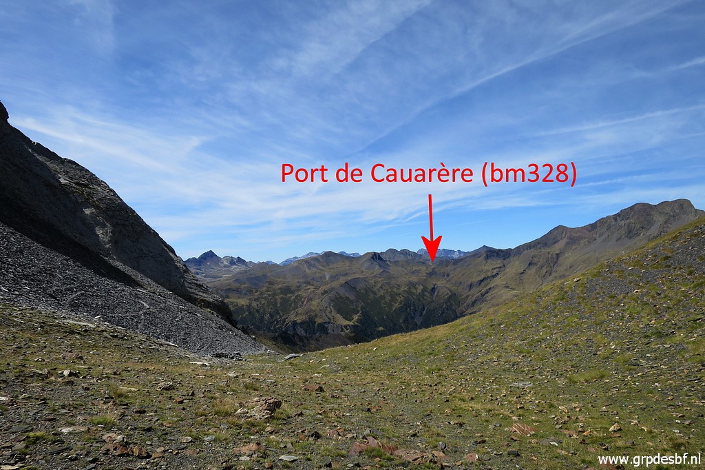
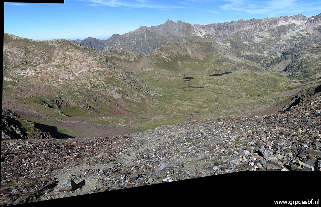
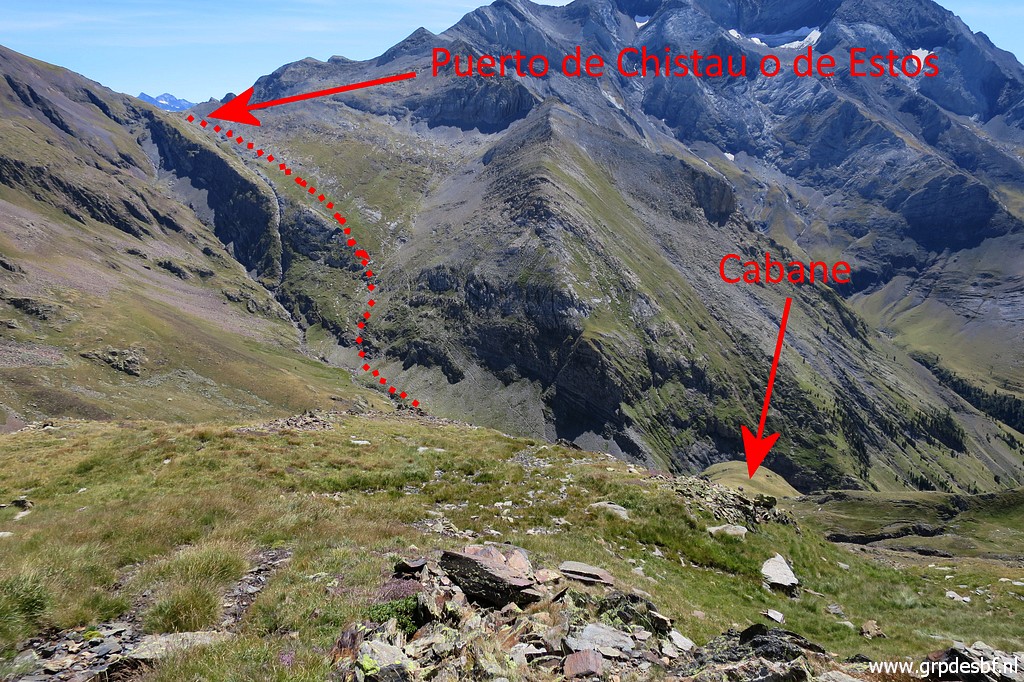 | A view to the other side of the valley (E). In the deep the cabaña de Años Cruses on the trail coming from Refugio de Viadós. The Puerto de Chistau o de Estos is where the main route of my GRPdesBF-trail will climb to. Bm330 and 330bis are to be done as an optional variant. (click photo to enlarge) |
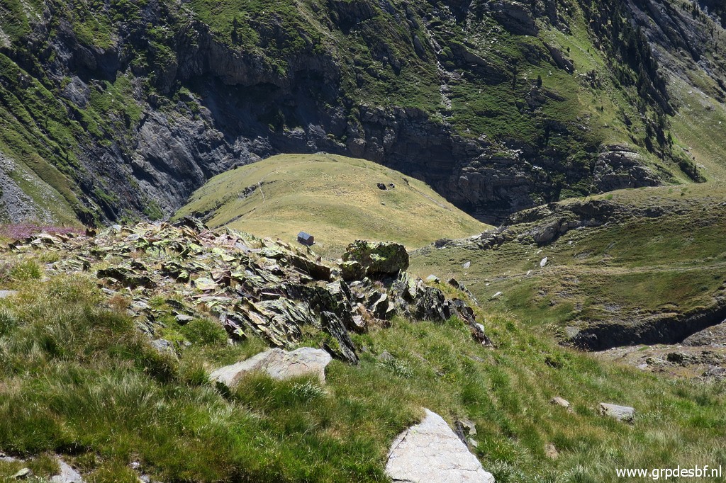 | Zoom-in to the Cabaña (click photo to enlarge) |
 | Steadily I get closer to Señal de Viadós. (click photo to enlarge) |
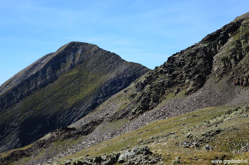
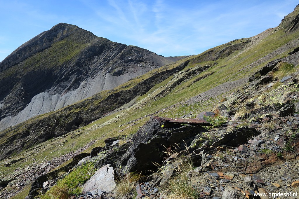
 | Another view to Puerto de Chistau o de Estos (click photo to enlarge) |
 | The last part to Señal de Viadós. (click photo to enlarge) |
 | At the Señal, looking west. It took me 2:15 to get here, not bad. (click photo to enlarge) |
 Let's show my traverse on Google Earth, back and forth. |
|
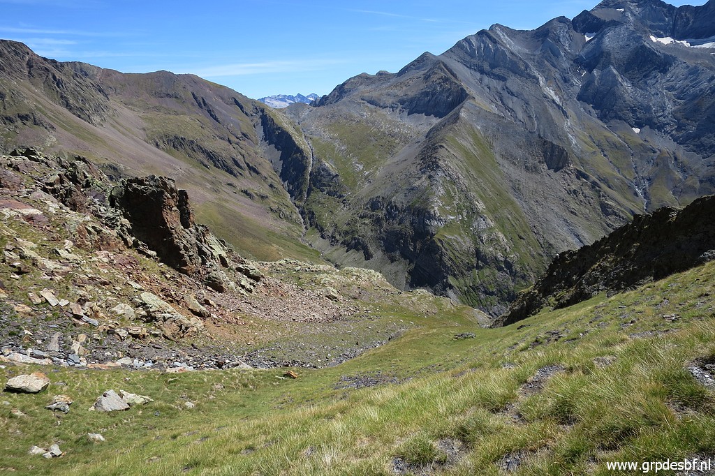
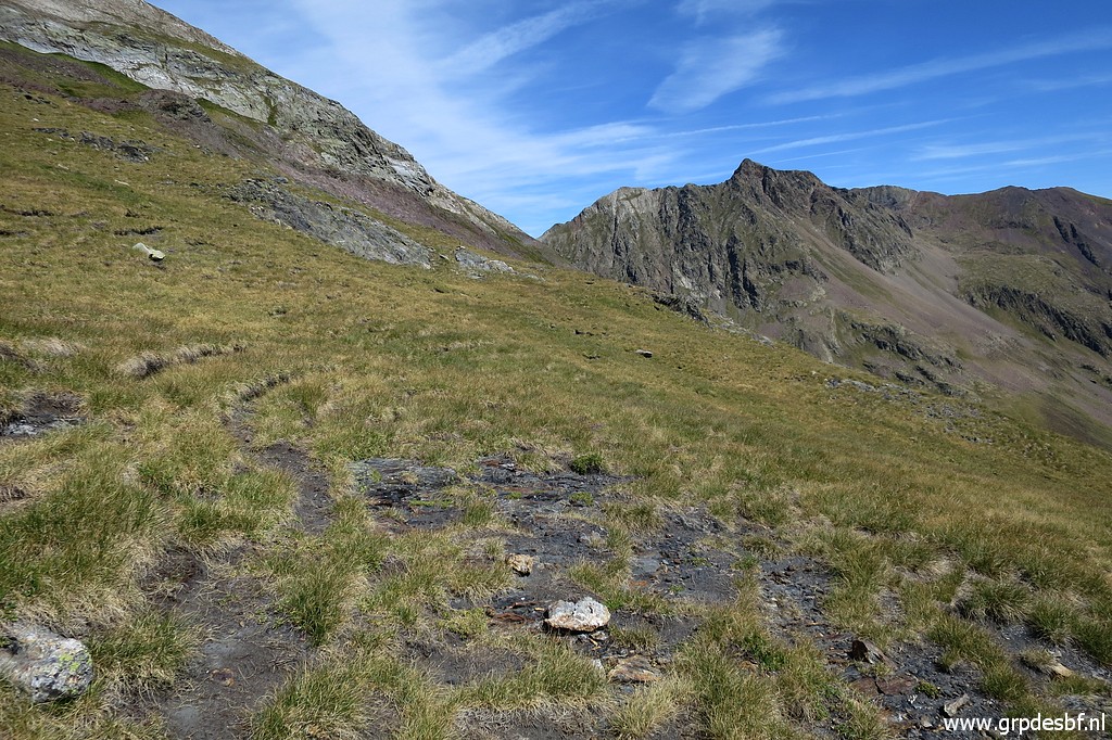
 | Now I am going back to Port d'Aygues-Tortes. From the Señal de Viadós, this is the route to follow. (click photo to enlarge) |
 | Zoom-in of previous picture. (click photo to enlarge) |
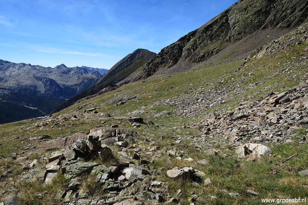
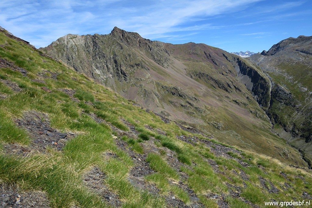
 | Continuing along the mountainside, fairly easy. (click photo to enlarge) |
 | Furter on, getting past a rocky outcrop (click photo to enlarge) |
 | Continuing (click photo to enlarge) |
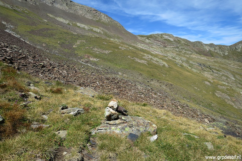
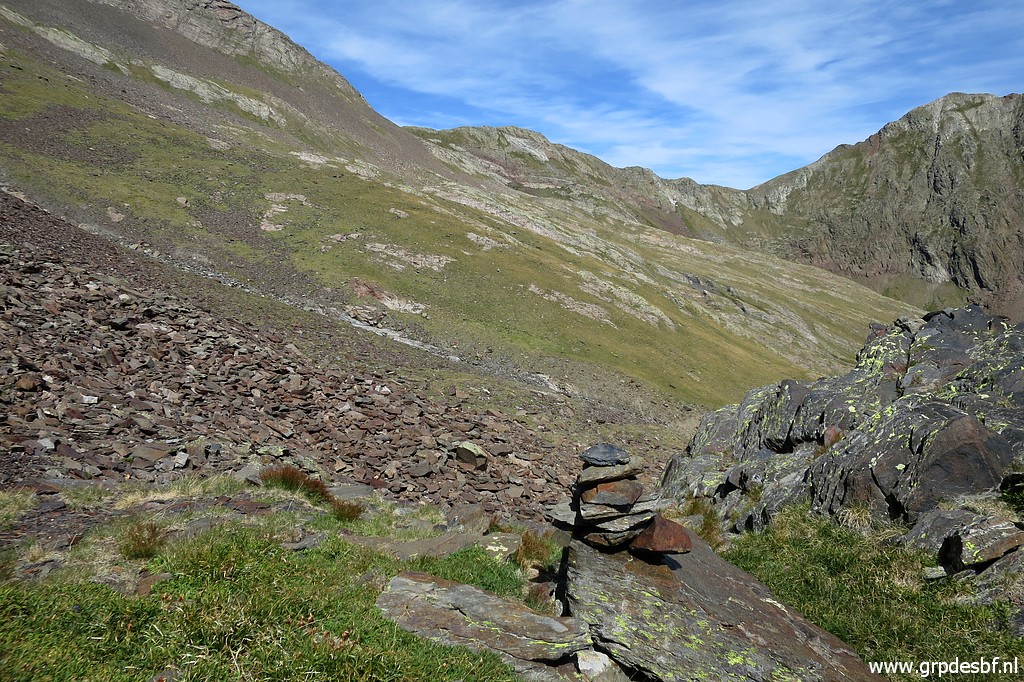 | A cairn, I added a few. (click photo to enlarge) |
 | Another cairn, in the background a rockfall to pass (click photo to enlarge) |
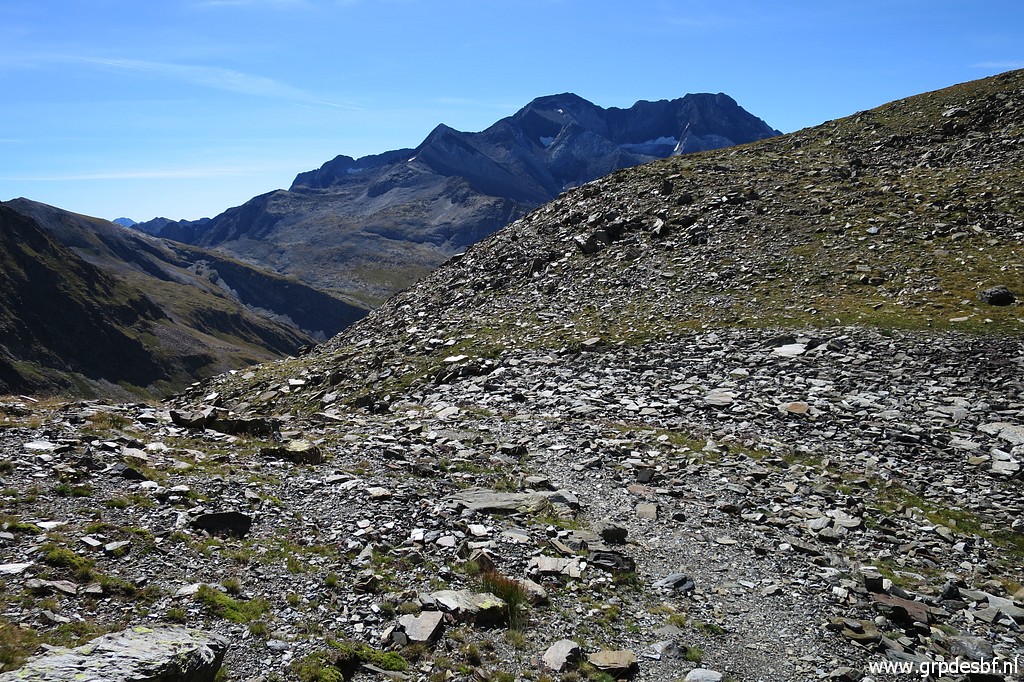
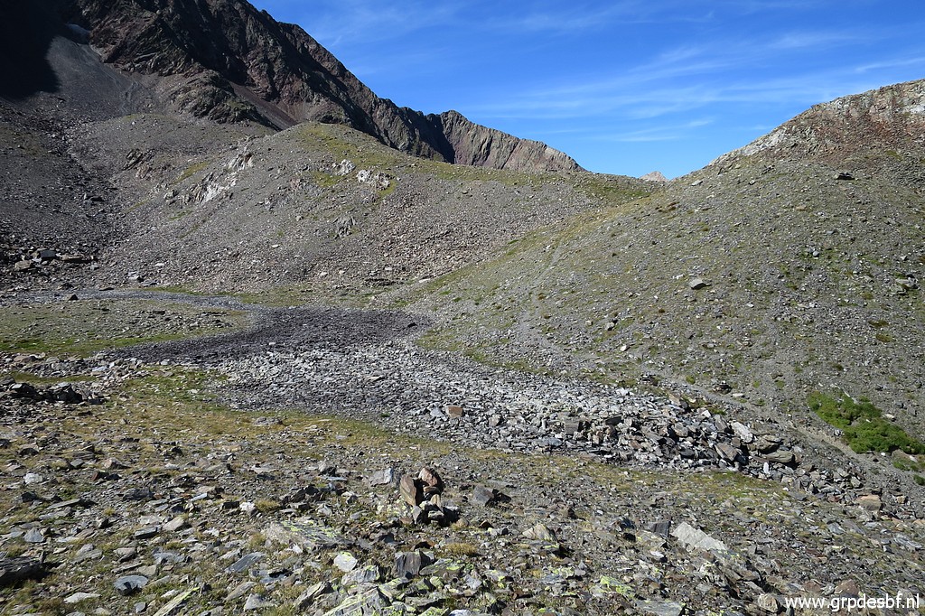
 | Now I am climbing again, towards Port d'Aygus-Tortes in the background. (click photo to enlarge) |
 | Last part, past a small pond which is now dry. (click photo to enlarge) |
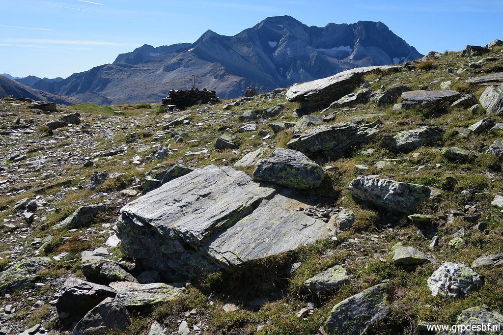
 | And back at the Port (click photo to enlarge) |
 | with bm330. (click photo to enlarge) |
 | I descend back to the valley. (click photo to enlarge) |
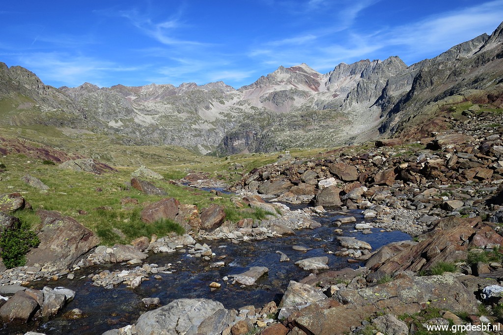 | It's already later in the afternoon and I find (click photo to enlarge) |
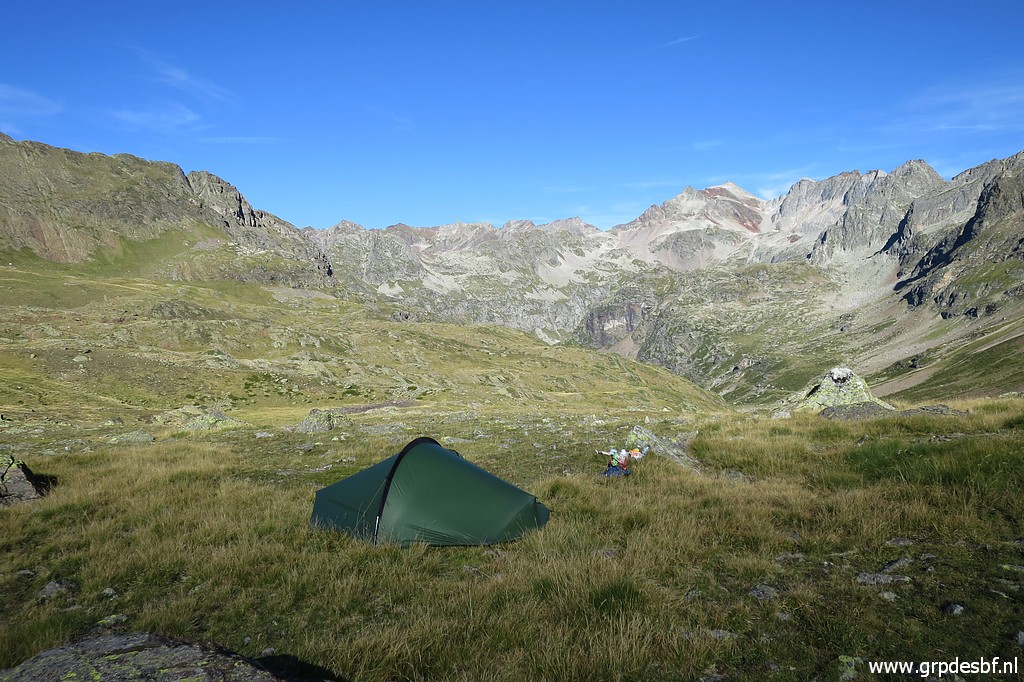 | a nice bivouac-site overlooking the valley. (click photo to enlarge) |
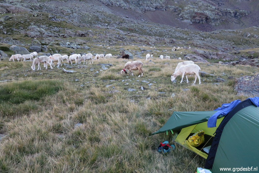 | A herd of sheep pass by (click photo to enlarge) |
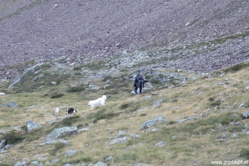 | including the shepherd with his dogs. (click photo to enlarge) |
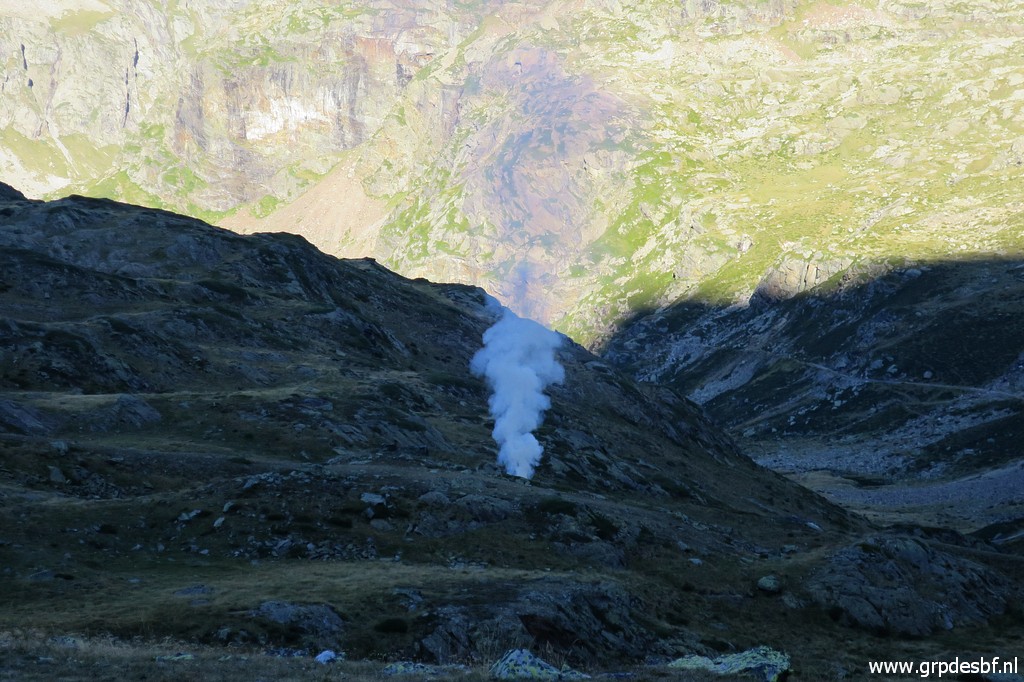 | Then something weird happens. Where the shepherd passes, various fires start, (click photo to enlarge) |
 | filling ultimately the valley with smoke. Apparently he is setting bushes at fire. But I am high above it. There is no wind and the temperature remains fine. I can sleep with the tentdoor open to see the stars. It has been a good day. (click photo to enlarge) |