|
The
bordermarkers of the Pyrenees : all my trips
 |
|
| -
friday 11 june
2021 - Search for borne de pacage X; with Carlos & Conchita bm359 & 409-1fr & 3fr |
 |
 |
Summary:
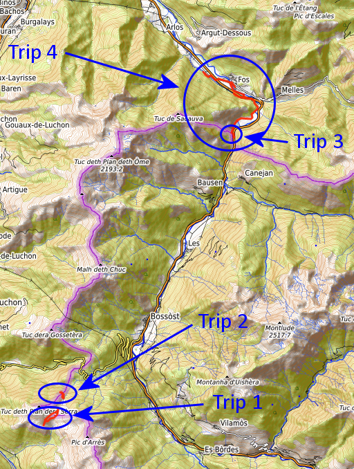
part of a series of 8 daytrips in june 2021 near Bagnères-de-Luchon and
Col de Somport. This is day 2. Today: four trips in one day: 1. a search for the borne de pacage X 2. with Carlos & Conchita Roca to bm359 3. with Carlos & Conchitat doing bm4091-fr and 3-fr 4. by car and foot: reconnaissance of the new cycle trail from bm409 up to the connection with the GR10. Weather: cloudy, dry, nice Basecamp: camping Les Myrtilles in the village of Moustajon |
| TRIP 1 |
|
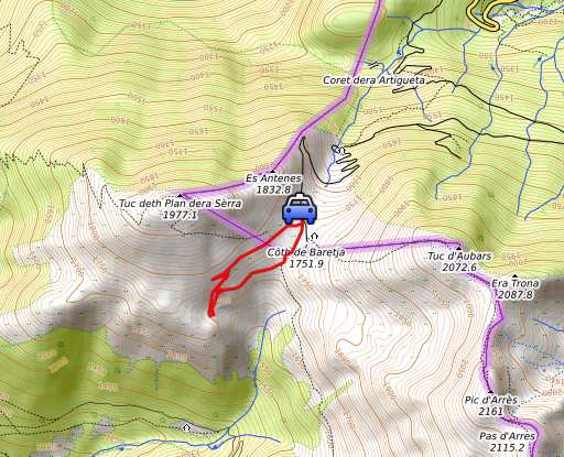 |
From close to Col de Barèges, I do a search for the missing 'borne de pacage' X. See this page for all the information about these markers. They are not international bordermarkers but markers meant to delimitate Spanish grazing grounds ('pacages') on French territory. From the 28 markers replaced around 1960, there are 9 markers missing. |
 track-20210611-trip1.kml
(click to open this trip in Google Earth or copy link to Google Maps; click right on this link to download gpx-version). The gps-track has not been manually corrected which explains the inaccuracy and misalignment at some points. For cartographic backgrounds: see the cartography-page Gps-waypoints of all bordermarkers (most recent version): kml: esfr-bordermarkers-all-waypoints.kml gpx: esfr-bordermarkers-all-waypoints.gpx (with elevation added by gpsvisualizer.com) |
|
 |
According to Garmin
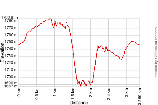
Basecamp (uncorrected original track): Distance: 3,7 km Max-height: 1789m Min-height: 1692m Elevation: +162m -165m Total elevation: 327m Start 10:39 Finish 12:35 Total time: 1:56 |
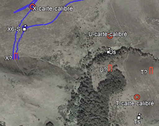 |
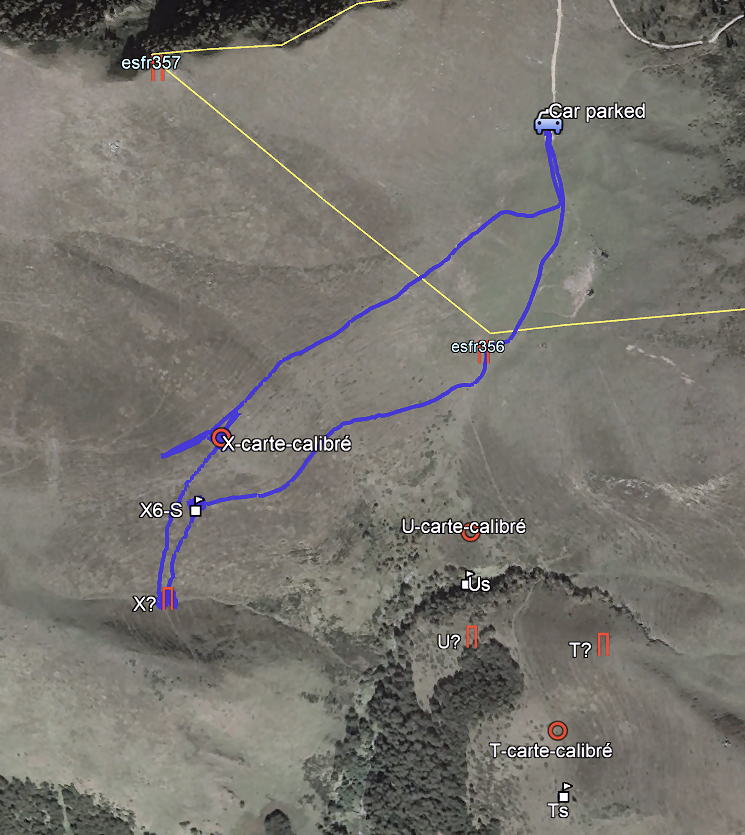
From each missing marker I have prepared 3 supposed locations. Indicated as (U as example): U? -> figured out by me in 2019 U-S -> as estimated by Charles Darrieu U-carte-calibré -> based on a recently acquired map from Jean Sermet, calibrated within Google Earth In general, I think that the calibrated positions are the most reliable. |
 |
The
road from Bagnères de Luchon to Col de Portillon was blocked, so I had
to drive via Spain. Parking my car near Col de Portillon, the last part
a bit too rocky for my car. I have brought my geodetical pole. (click photo to enlarge) |
 |
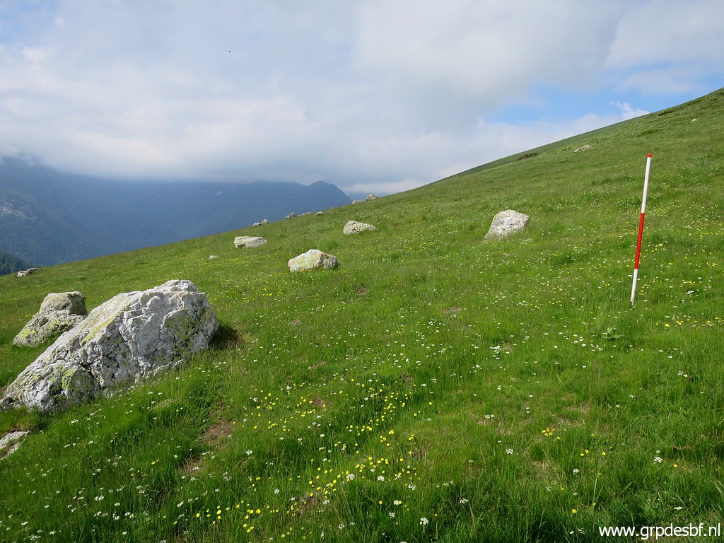
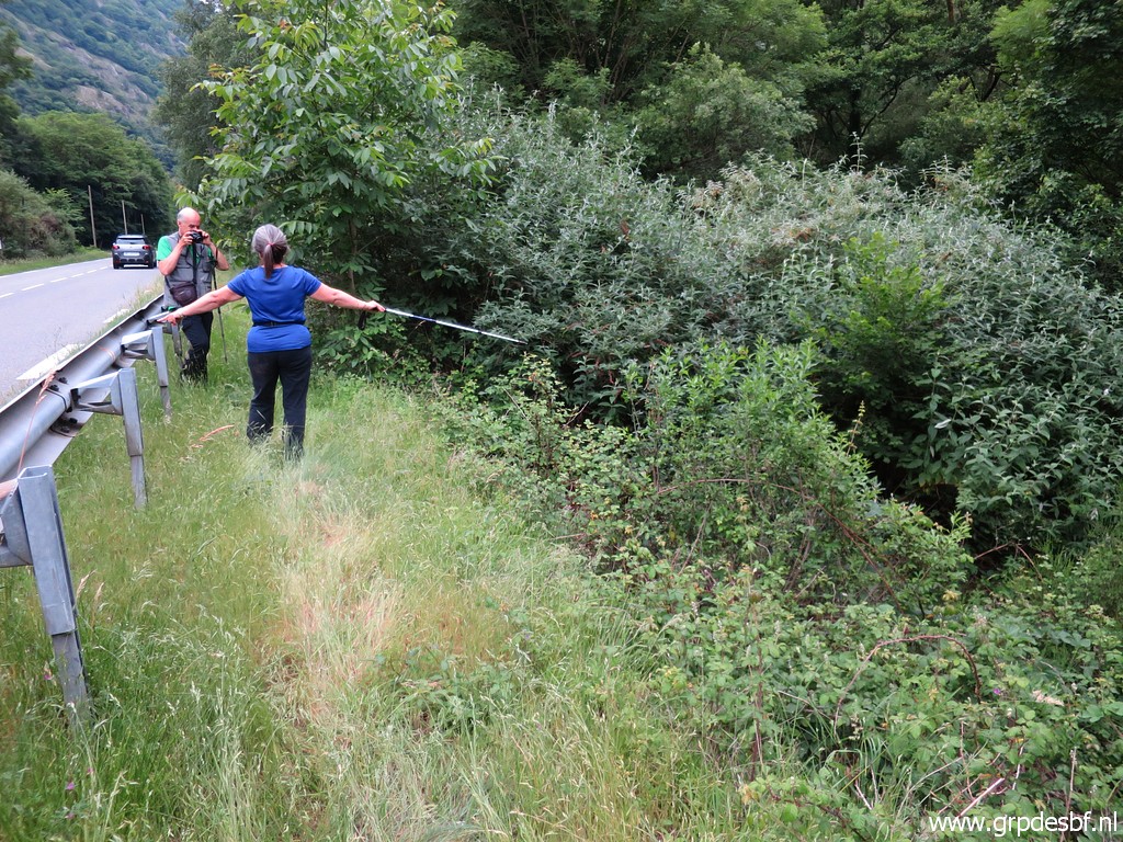
This is the first location I explore: borne de pacage X - supposed location according to the calibrated map. I use little Dutch flags to indicate an area of approximately 50x50m around the gps-position. Then I traverse systematically the area, using the geodetic pole as a pricker. I find nothing. (click photo to enlarge) |
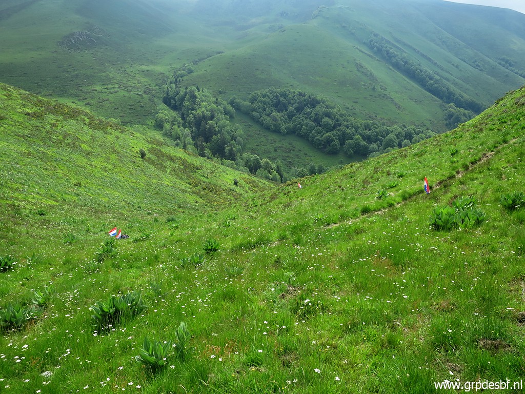 |
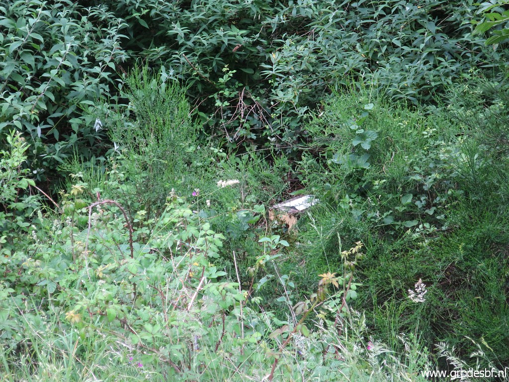
The spot of borne de pacage X - supposed location as figured out by me in 2019. Same method, no result. (click photo to enlarge) |
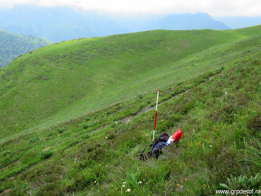 |
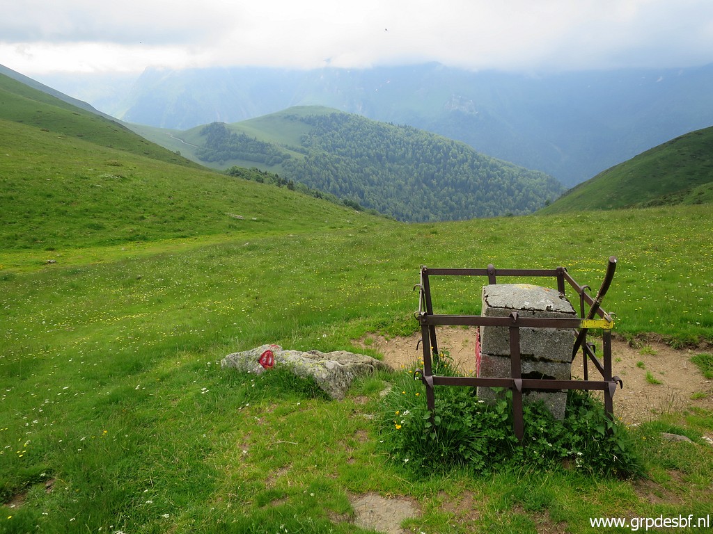
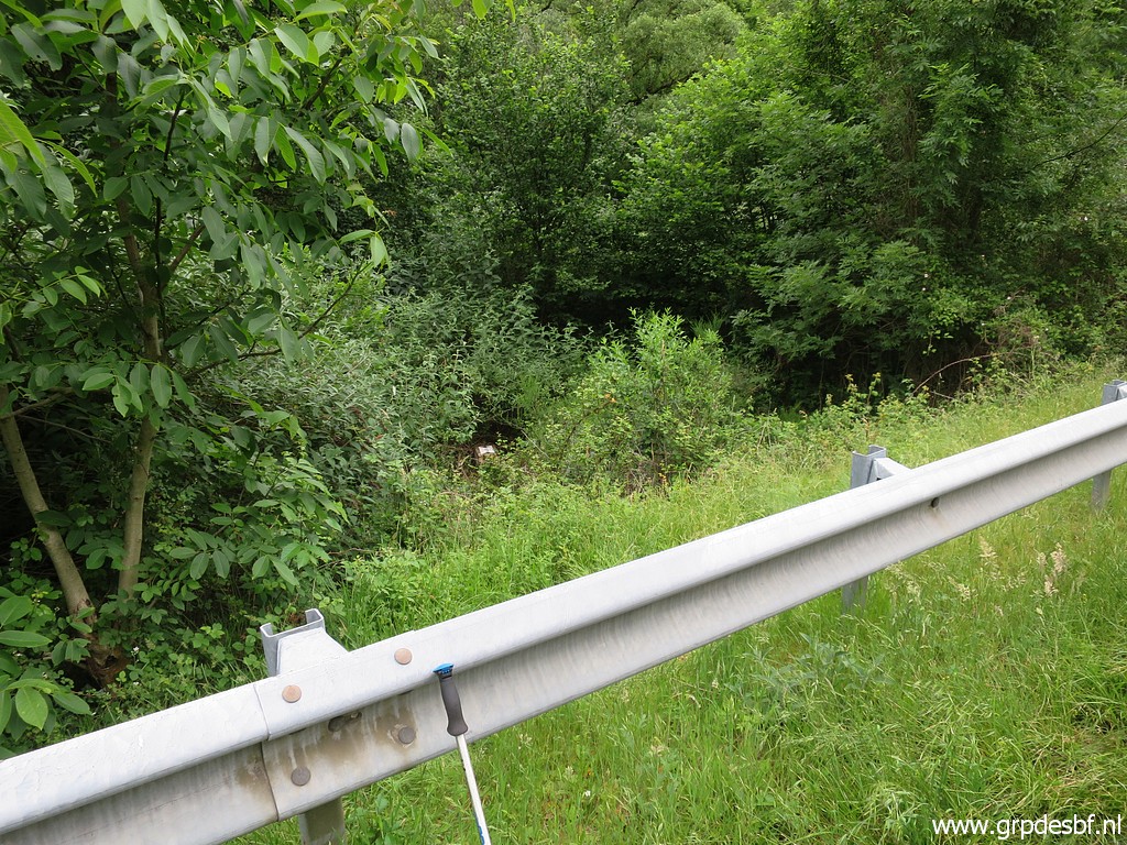
Finally the spot of borne de pacage X - supposed location as figured out by Charles Darrieu. Now I leave the flags very visible in my backpack at the designated spot and walk in circles around it while pricking. Again: no result. I am running out of time and head via bm356 back to my car. (click photo to enlarge) |
 |
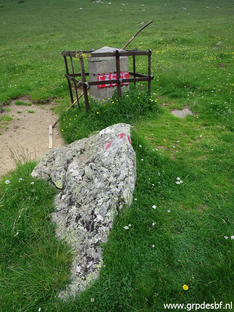
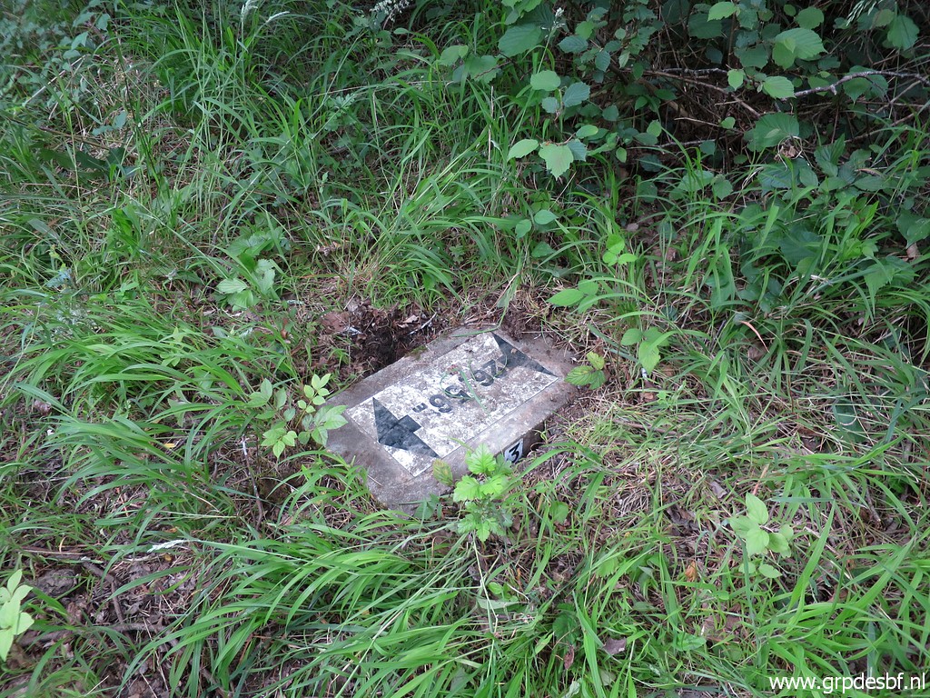
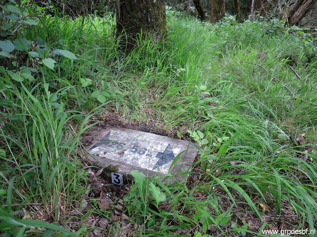
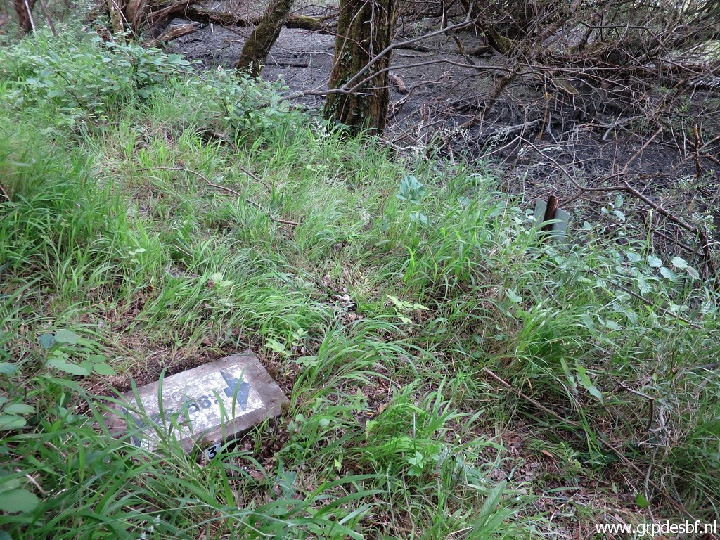
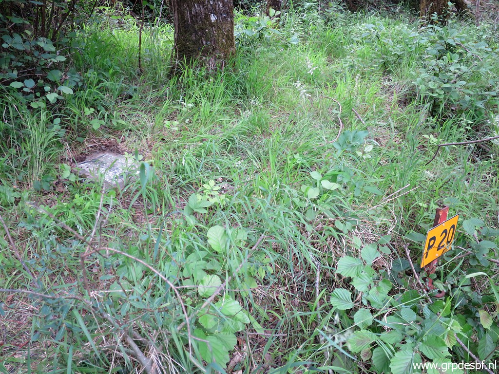
Bm356 (click photo to enlarge) |
 |
Bm356 (click photo to enlarge) |
 |
Bm356 (click photo to enlarge) |
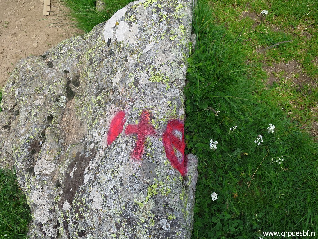 |
Bm356. a cross and weapons on the rock besides it. (click photo to enlarge) |
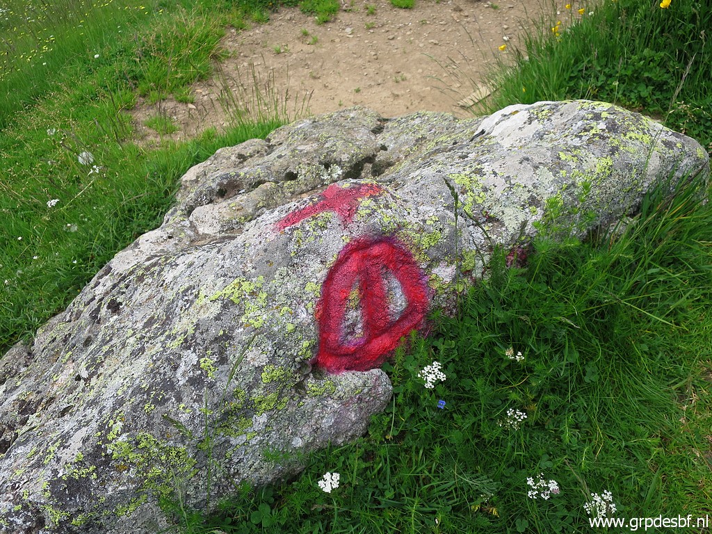 |
Bm356 (click photo to enlarge) |
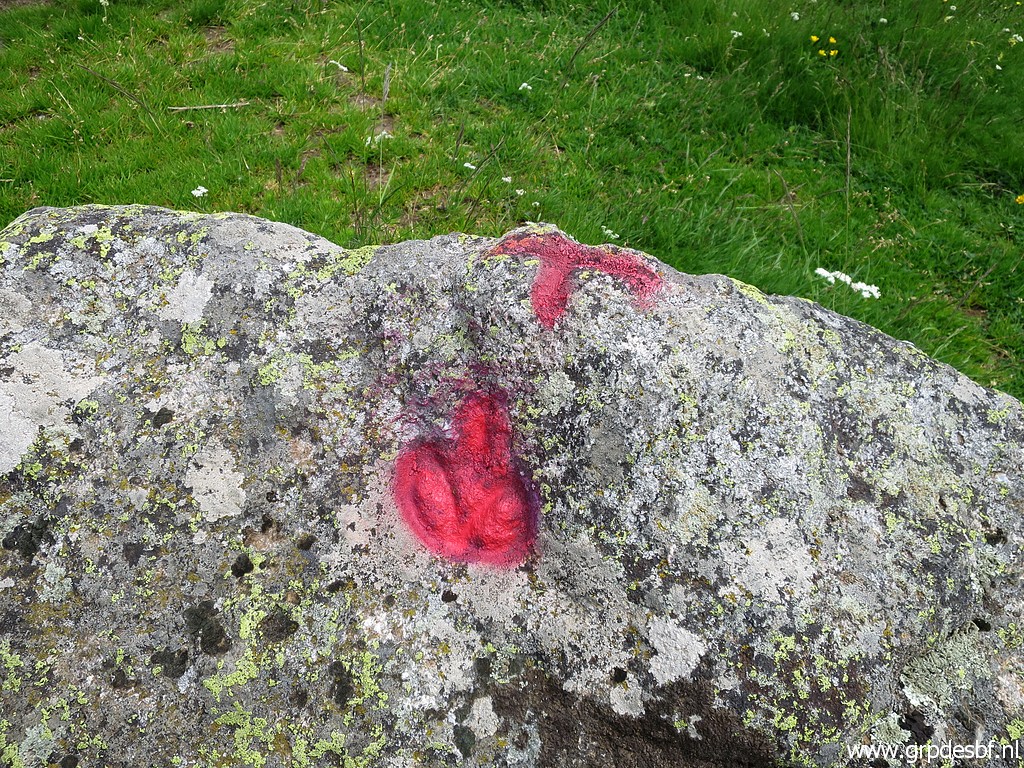 |
Bm356 (click photo to enlarge) |
 |
Bm356 (click photo to enlarge) |
| TRIP 2 |
|
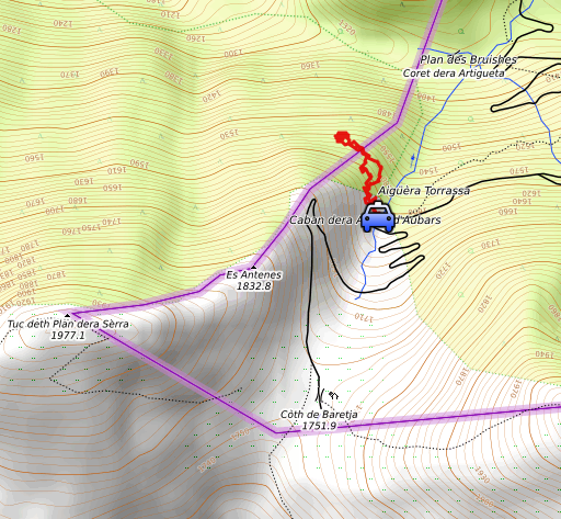 |
Together with Carlos & Conchita to bm359. This trip on the website of Carlos & Conchita Roca: see this page |
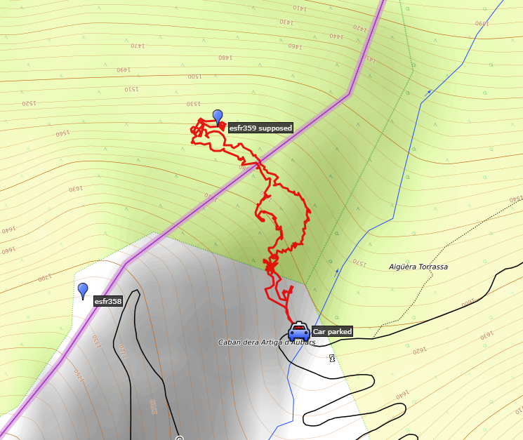 track-20210611-trip2.kml (click to open this trip in Google Earth or copy link to Google Maps; click right on this link to download gpx-version). The gps-track has not been manually corrected which explains the inaccuracy and misalignment at some points. For cartographic backgrounds: see the cartography-page Gps-waypoints of all bordermarkers (most recent version): kml: esfr-bordermarkers-all-waypoints.kml gpx: esfr-bordermarkers-all-waypoints.gpx (with elevation added by gpsvisualizer.com) |
|
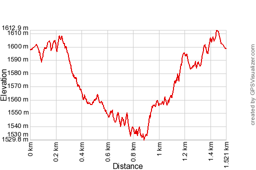 |
According to Garmin
Basecamp (uncorrected original track): Distance: 2,3 km Max-height: 1616m Min-height: 1553m Elevation: +108m -114m Total elevation: 224m Start 13:35 Finish 15:21 Total time: 1:46 |
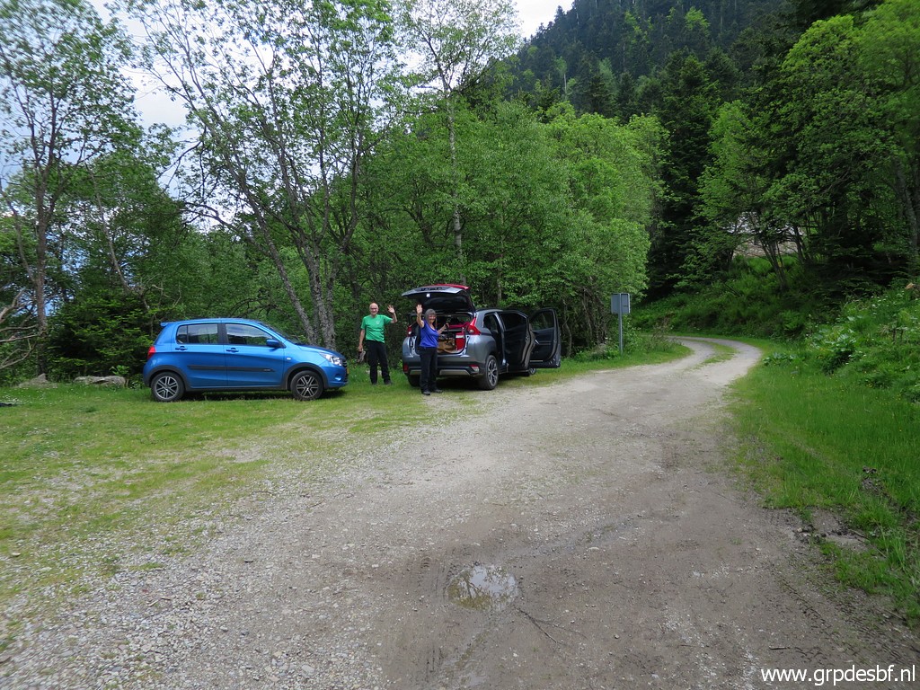 |
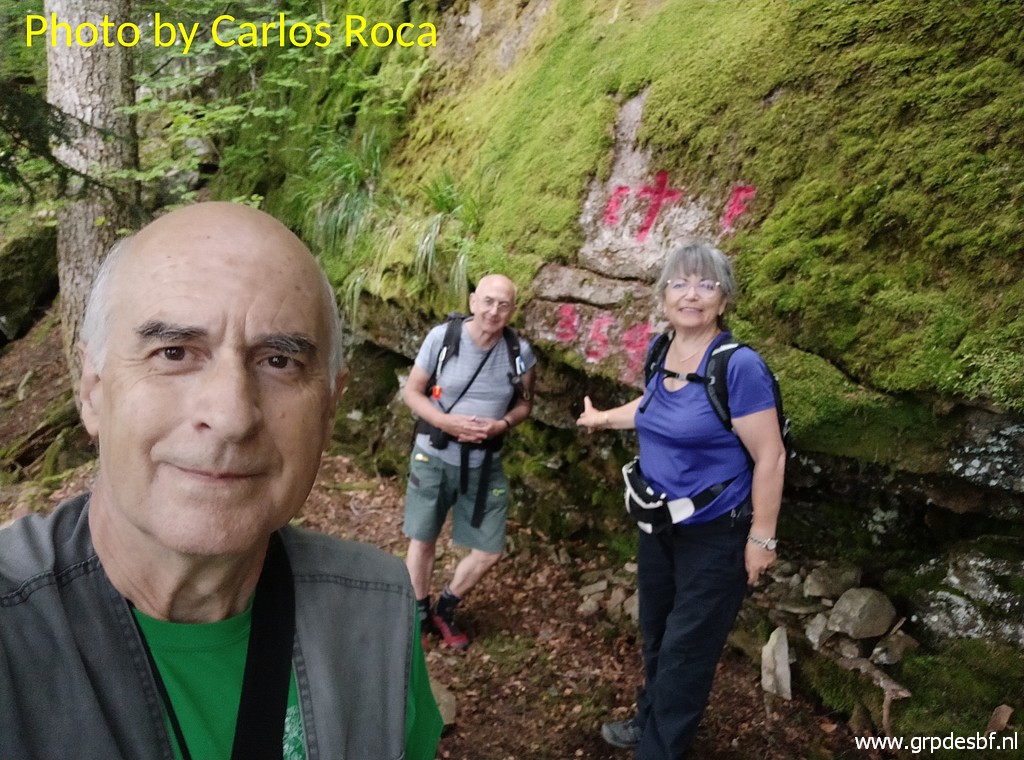
I
drive back to the parking downhill. The part between this parking and
Col de Barèges is in fact too rocky for a normal car like mine. Carlos & Conchita Roca arrive around 13:00 directly from Barcelona. Together we will visit bm359. (click photo to enlarge) |
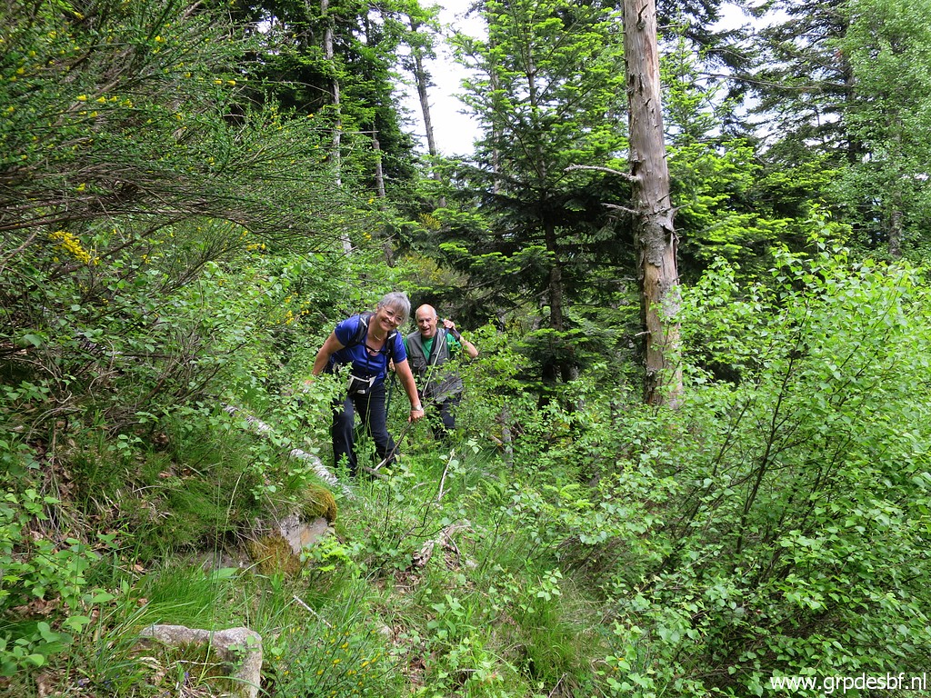 |
We dive directly in dense nature (click photo to enlarge) |
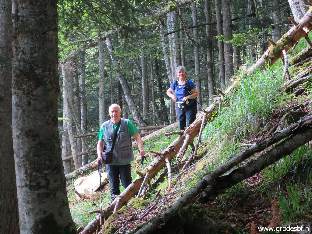 |
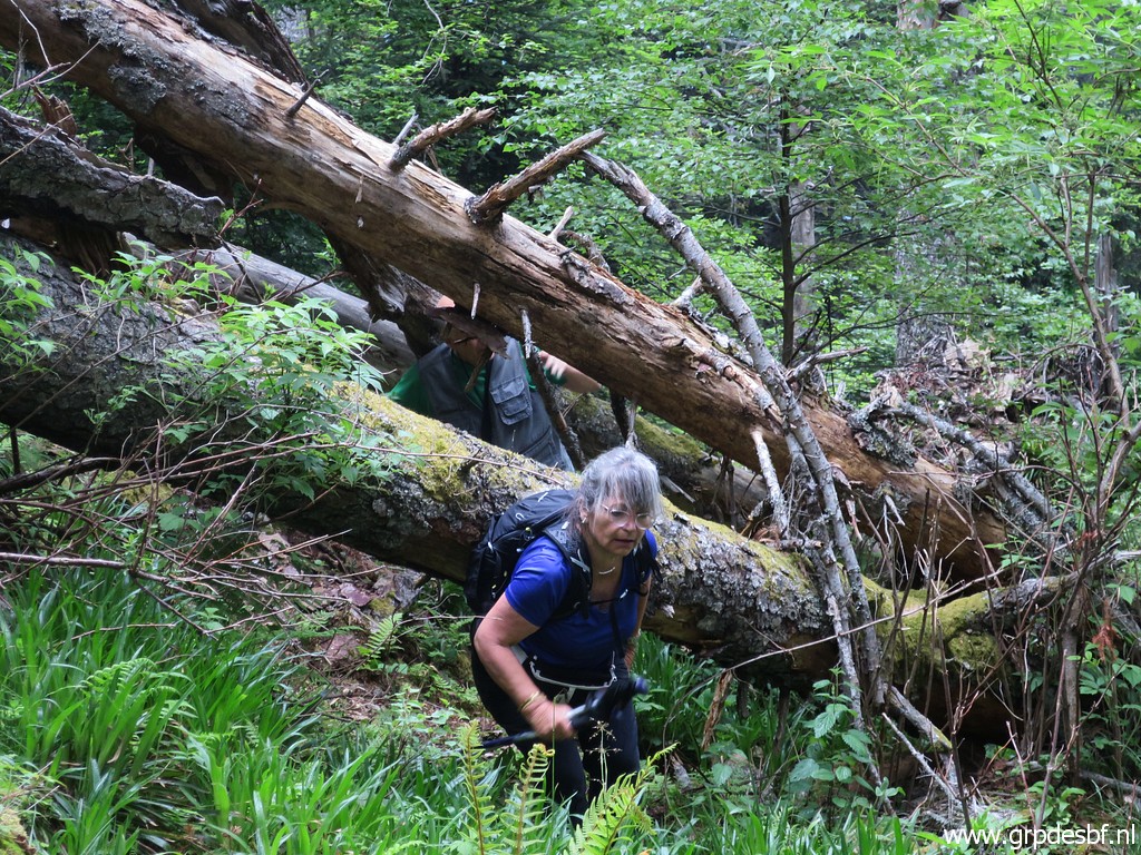
and descend steeply through fallen trees (click photo to enlarge) |
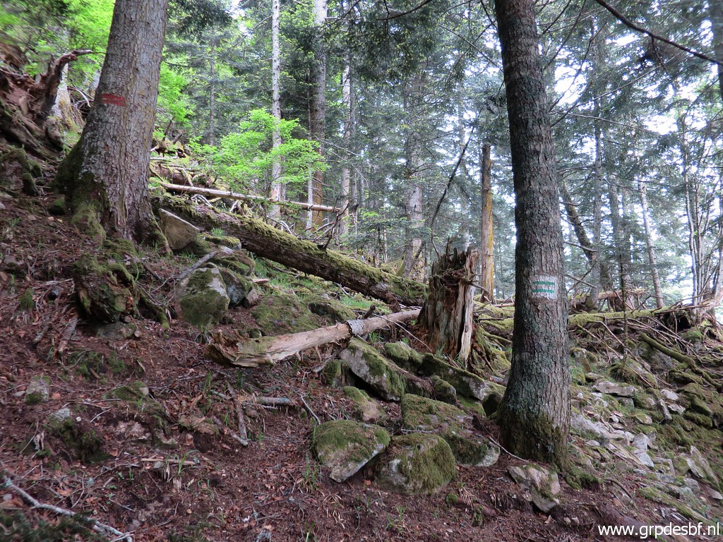 |
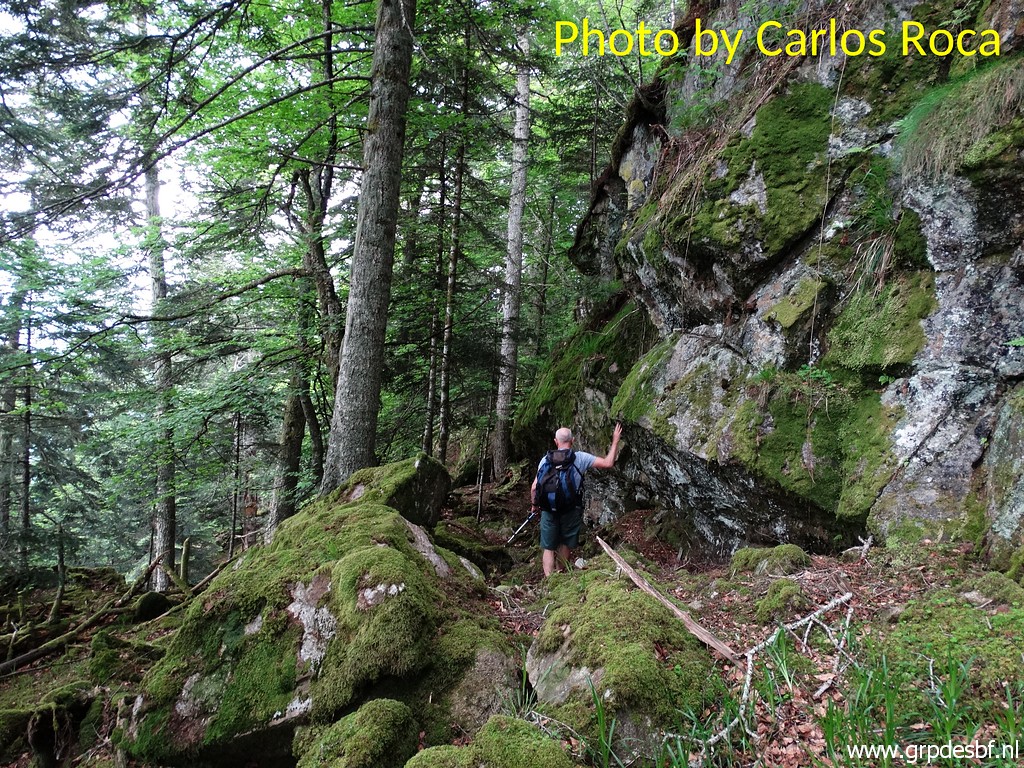
to a more open and less steep part of the hillside. We have reached now the 'divisoria': the delimitation of forestry parcels indicated by stripes on the trees. In this case between Spain (this side) and France (beyond the tree). But how precise is this delimitation as a binational demarcation? We don't know. But I know from previous visits that bm359 is not far away beyond this 'divisoria'. (click photo to enlarge) |
 |
The last part is a short but steep descent to a large rockface. |
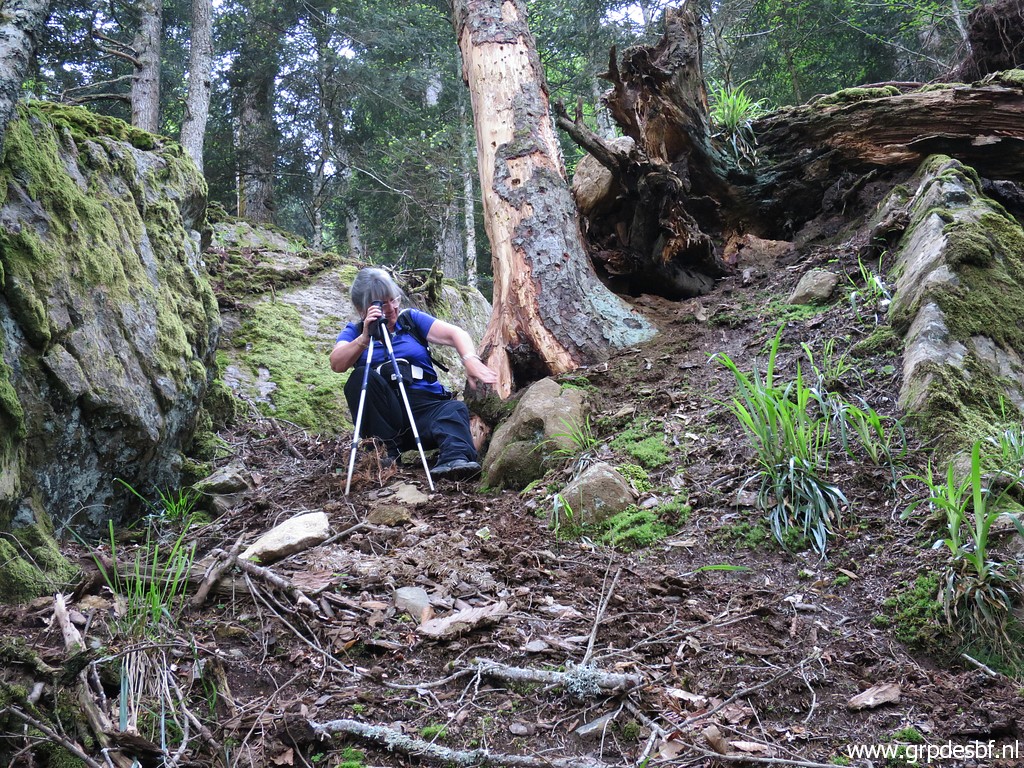 |
Conchita tackling the steep and slippery descent. (click photo to enlarge) |
 |
Then along the rockwall towards bm359. |
 |
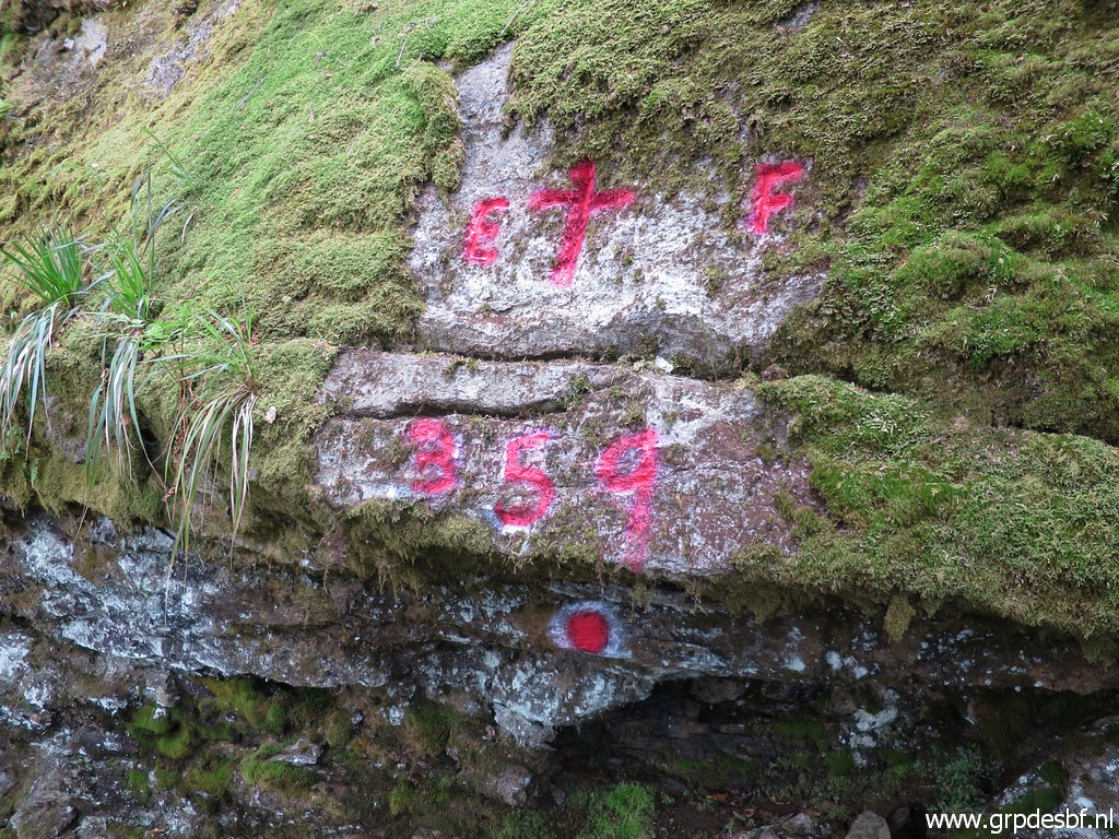
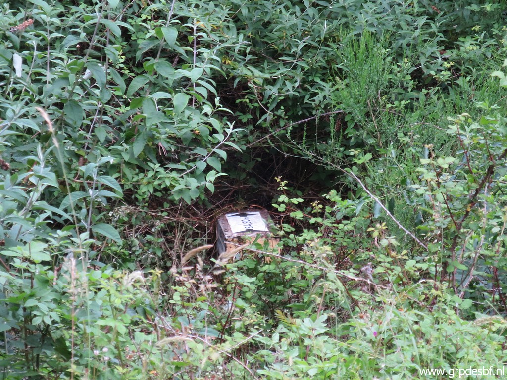
Bm359, to my surprise the number (click photo to enlarge) |
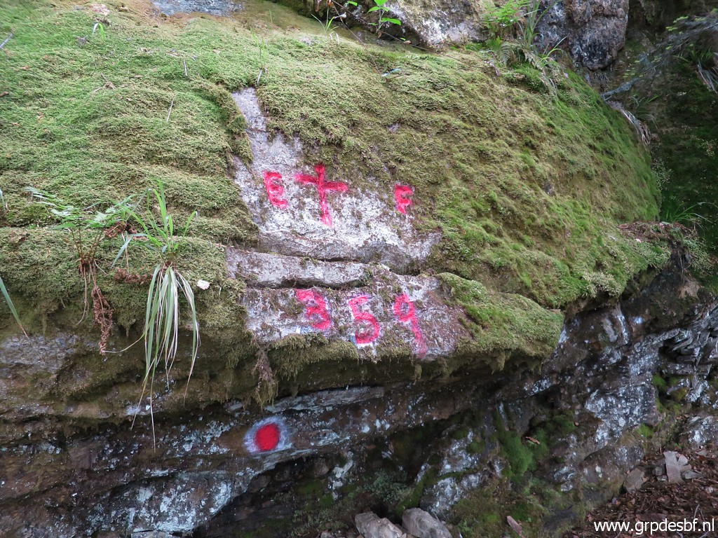 |
359 has been painted in recent years below the cross. It gives an official aspect to this cross but I still doubt if this is the marker meant in the treaty of the 19th century. See this blog-post. Later I asked Jean-Paul Laborie - commissioner of the Pyrenees bordercommitte - if he did the painting. But he knew nothing of it. (click photo to enlarge) |
 |
Bm359 (click photo to enlarge) |
 |
Bm359 (click photo to enlarge) |
 |
Bm359 (click photo to enlarge) |
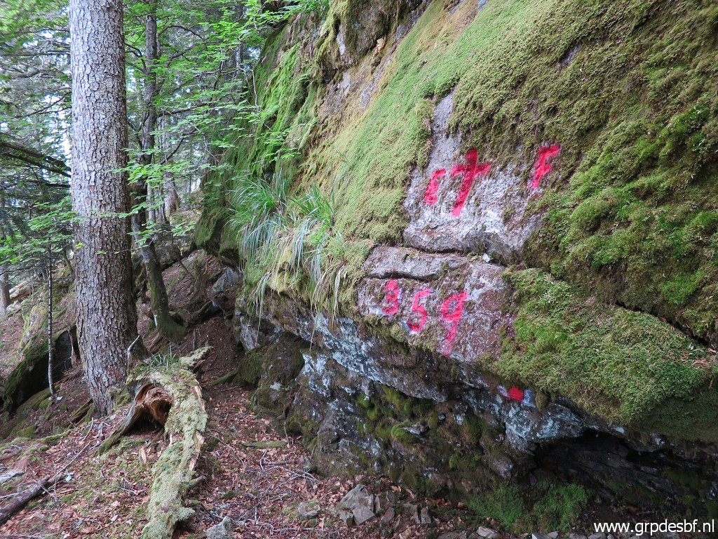 |
Bm359 (click photo to enlarge) |
 |
Bm359 (click photo to enlarge) |
 |
We are returning, (click photo to enlarge) |
 |
again finding our way (click photo to enlarge) |
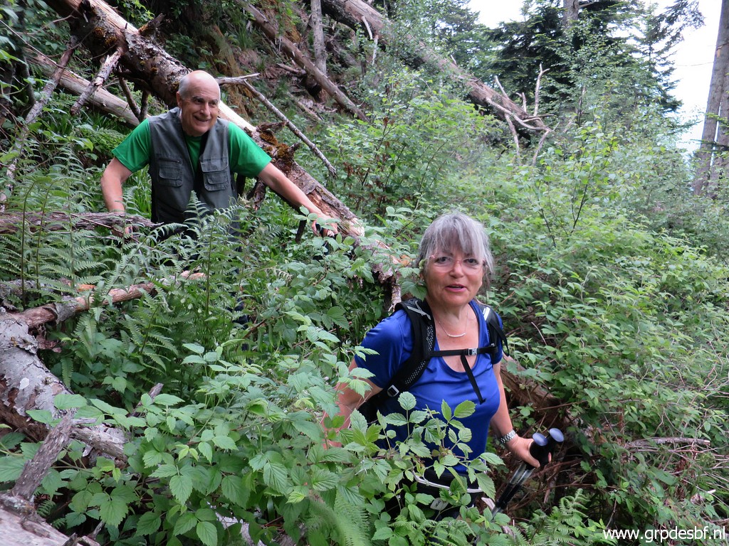 |
through the fallen trees and the bushes which have emerged in the open spots. (click photo to enlarge) Later I wondered if there's not a more elegant way to reach bm359, avoiding the steep parts with the fallen trees. Descending directly from bm358 is steep and not a better alternative. |
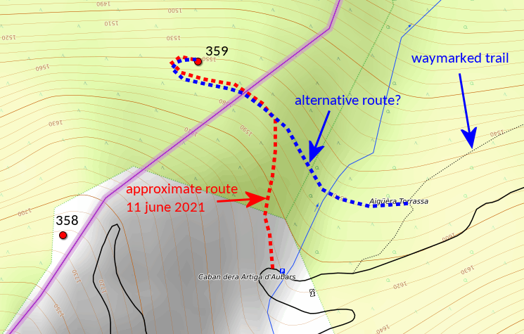 But I think there is one. From the parking, you can descend on a trail and then traverse at approximately the same altitude to bm359. But the proof of the pudding is in the eating, perhaps I will try it in the future. |
|
| TRIP 3 |
|
 |
We drive downhill and do together a short trip to bm409-1fr and 3fr. Carlos and Conchita couldn't find them on a earlier trip and yesterday I did a reconnaissance to find them. This trip on the website of Carlos & Conchita Roca: see this page |
 track-20210611-trip3.kml (click to open this trip in Google Earth or copy link to Google Maps; click right on this link to download gpx-version). The gps-track has not been manually corrected which explains the inaccuracy and misalignment at some points. For cartographic backgrounds: see the cartography-page Gps-waypoints of all bordermarkers (most recent version): kml: esfr-bordermarkers-all-waypoints.kml gpx: esfr-bordermarkers-all-waypoints.gpx (with elevation added by gpsvisualizer.com) |
|
 |
According to Garmin
Basecamp (uncorrected original track): Distance: 0,7 km Max-height: 573m Min-height: 530m Elevation: +33m -5m Total elevation: 38m Start 16:05: Finish 16:33 Total time: 0:28 |
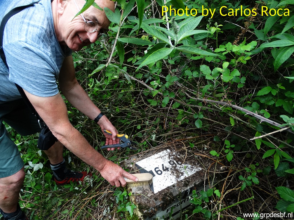 |
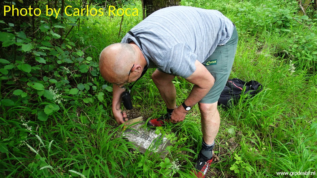
We easily find back bm409-1fr but I have to cut and brush to make it more visible. |
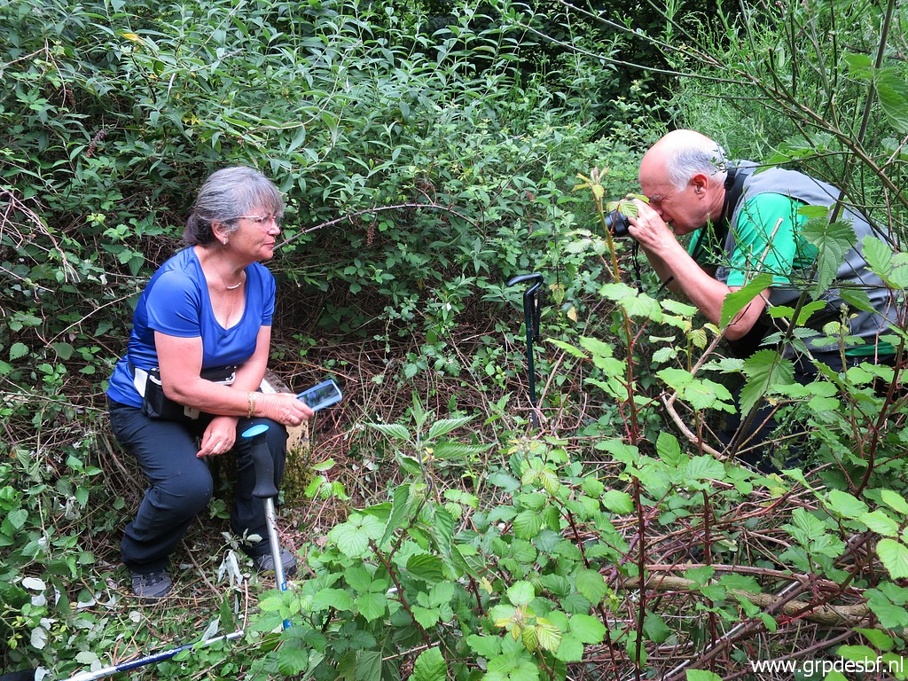 |
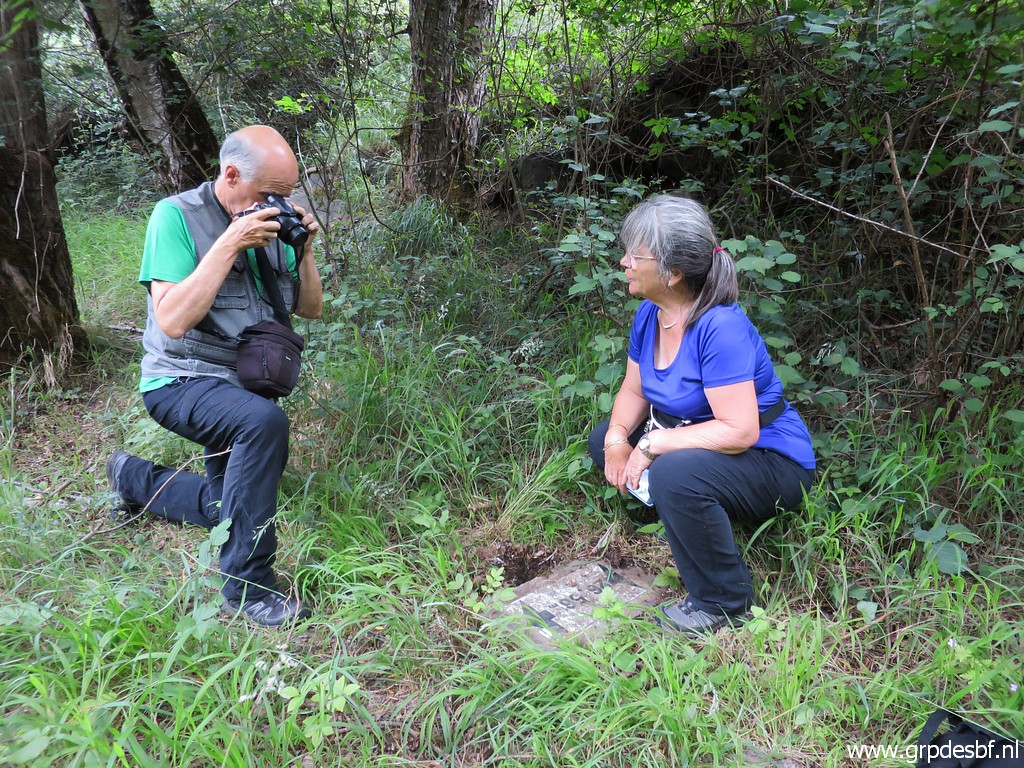
Then it's time for the photo session, (click photo to enlarge) |
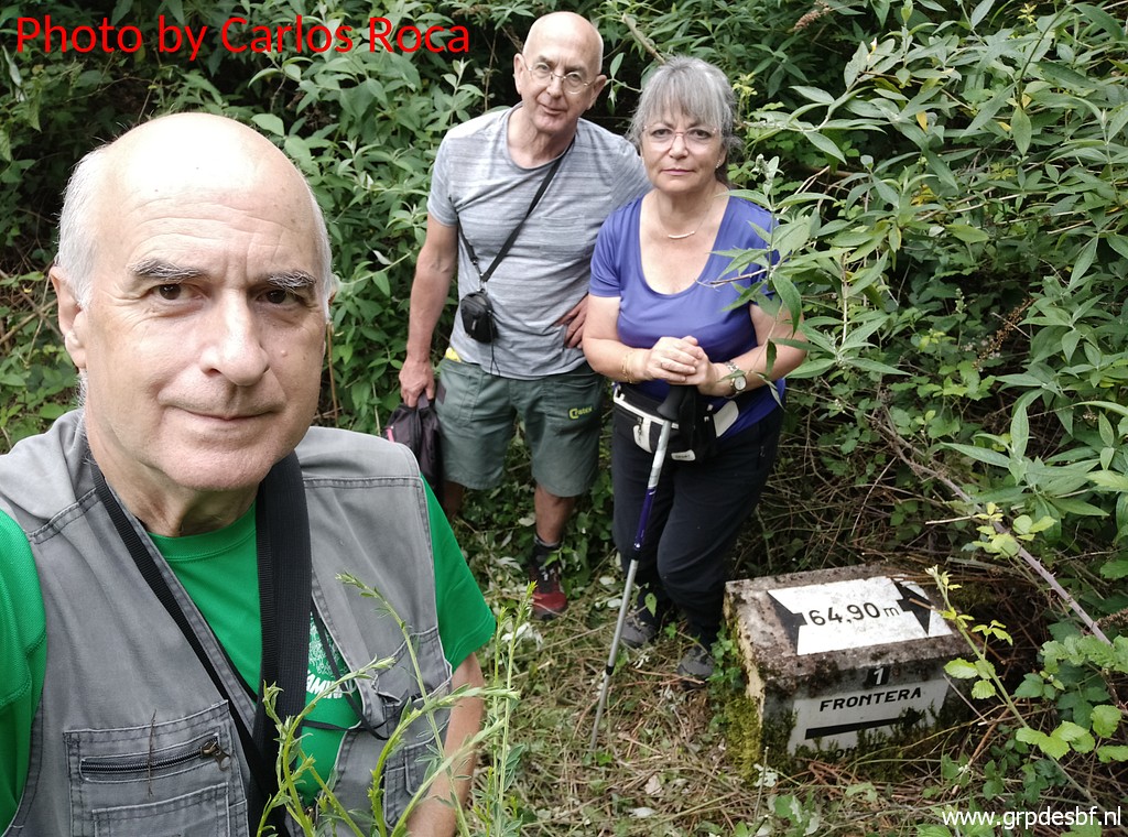 |
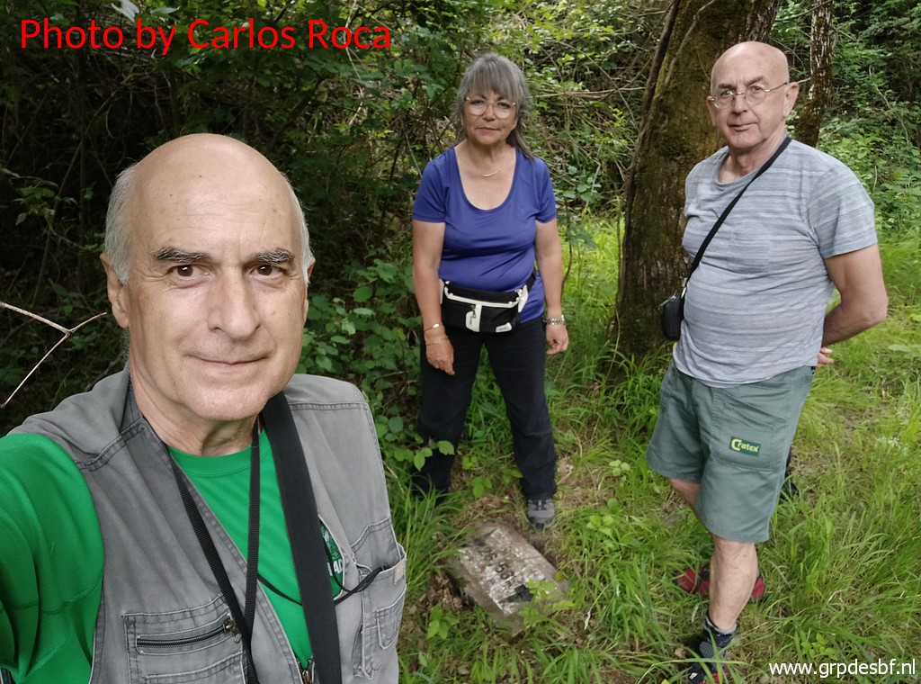
including the selfie. (click photo to enlarge) |
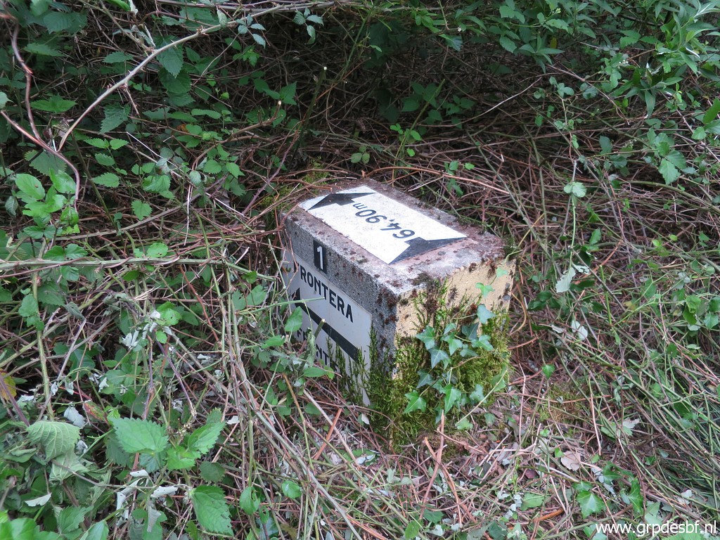 |
Bm409-1fr (click photo to enlarge) |
 |
Bm409-1fr (click photo to enlarge) |
 |
From the road, Conchita points at bm409-1fr (click photo to enlarge) |
 |
which is still difficult to spot between the brushes. (click photo to enlarge) |
 |
Zoom-in to bm409-1fr (click photo to enlarge) |
 |
Another view from the road to bm409-1fr and (click photo to enlarge) |
 |
another zoom-in. (click photo to enlarge) |
 |
Then we walk along the road and descend to bm409-3fr which also needs cleaning. |
 |
Bm409-3fr (click photo to enlarge) |
 |
Bm409-3fr (click photo to enlarge) |
 |
Bm409-3fr (click photo to enlarge) |
 |
Bm409-3fr (click photo to enlarge) |
 |
Bm409-3fr with his 'betrayer' to the right. (click photo to enlarge) |
 |
That's a signpost with unknown meaning but very useful in finding bm409-3fr. (click photo to enlarge) |
 |
Bm409-3fr (click photo to enlarge) The last picture of our joint adventures for today. Carlos and Conchita drive to the same camping to install themselves. I stay another hour for trip 4. |
| TRIP 4 |
|
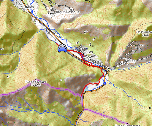 |
By car and foot I want to explore the new cycle trail along the Garonne on the French side. |
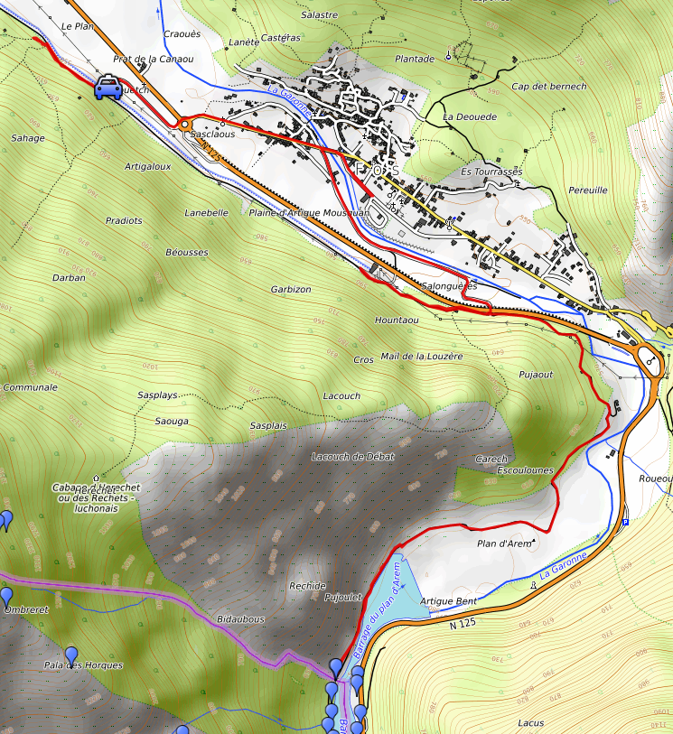 track-20210611-trip4.kml (click to open this trip in Google Earth or copy link to Google Maps; click right on this link to download gpx-version). The gps-track has not been manually corrected which explains the inaccuracy and misalignment at some points. For cartographic backgrounds: see the cartography-page Gps-waypoints of all bordermarkers (most recent version): kml: esfr-bordermarkers-all-waypoints.kml gpx: esfr-bordermarkers-all-waypoints.gpx (with elevation added by gpsvisualizer.com) |
|
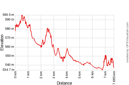 |
According to Garmin
Basecamp (uncorrected original track): Distance: 7,9 km Max-height: 602m Min-height: 538m Elevation: +75m -128m Total elevation: 203m Start 16:54: Finish 17:53 Total time: 0:59 |
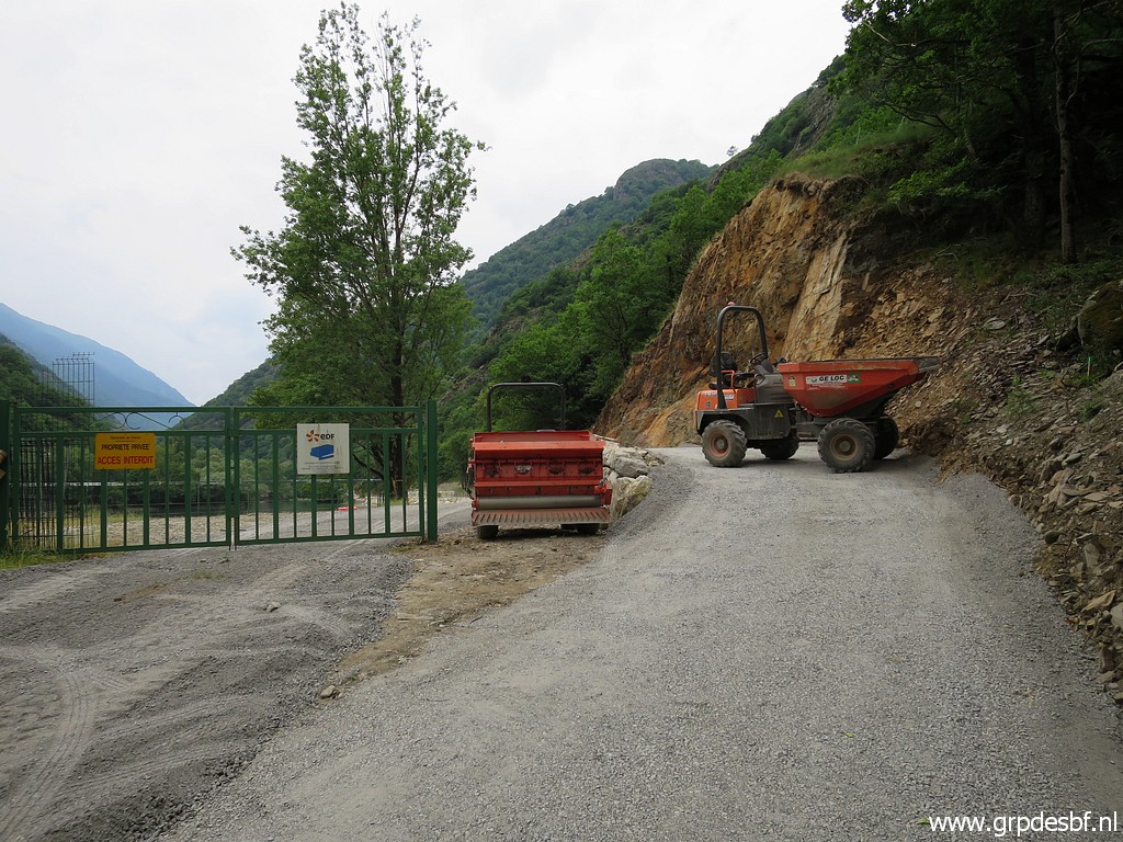 |
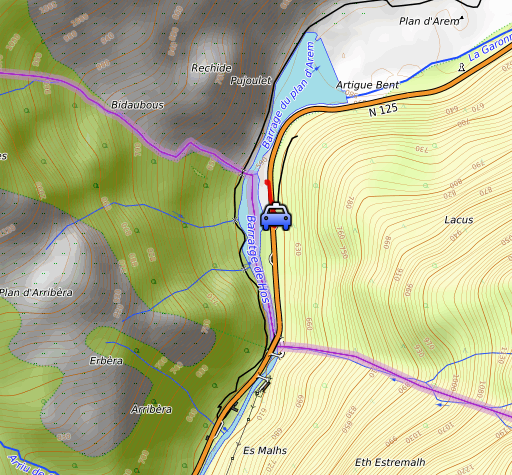
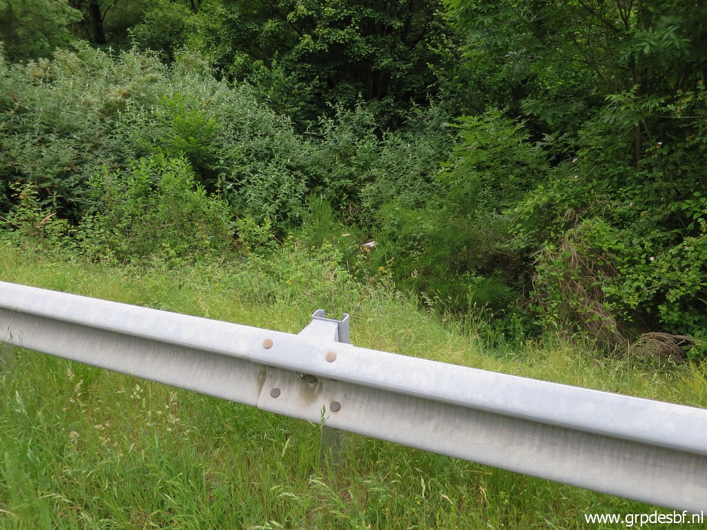
I can drive on that cycle trail (wide enough for cars but only allowed for farmers or inhabitants) up to the barrage. (click photo to enlarge) |
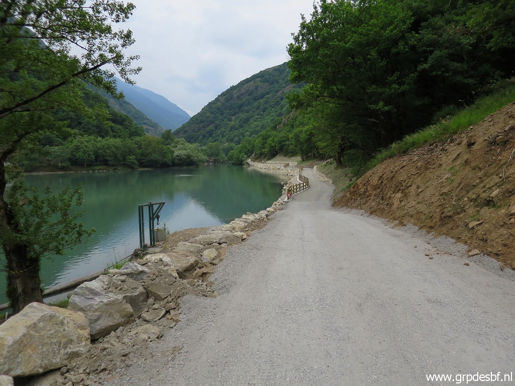 |
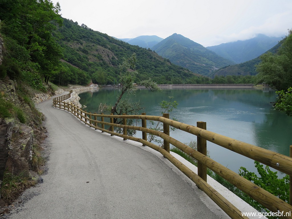
Then walking on the new trail (click photo to enlarge) |
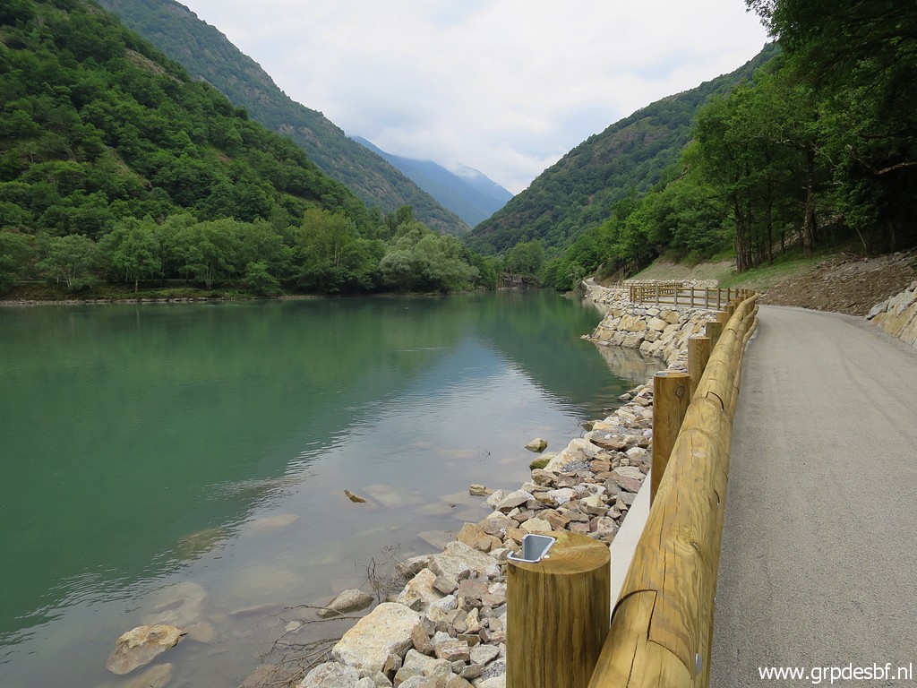 |
along the lake (click photo to enlarge) |
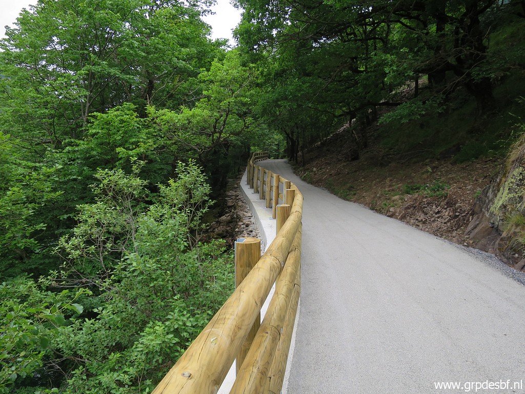 |
and hillside (click photo to enlarge) |
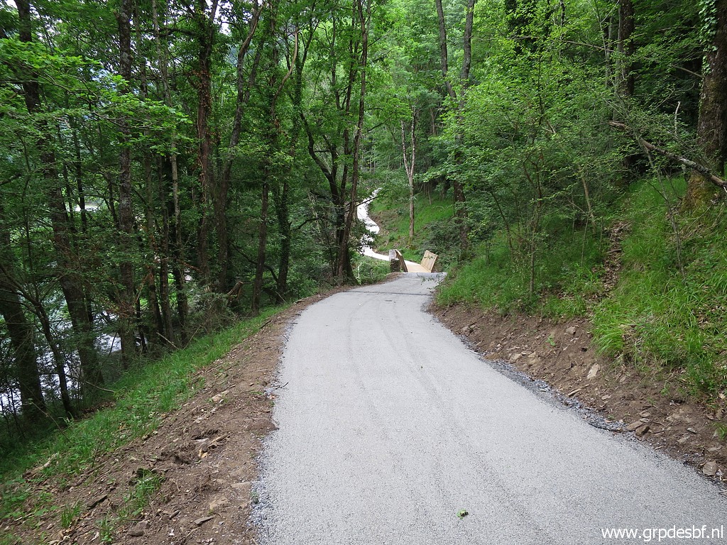 |
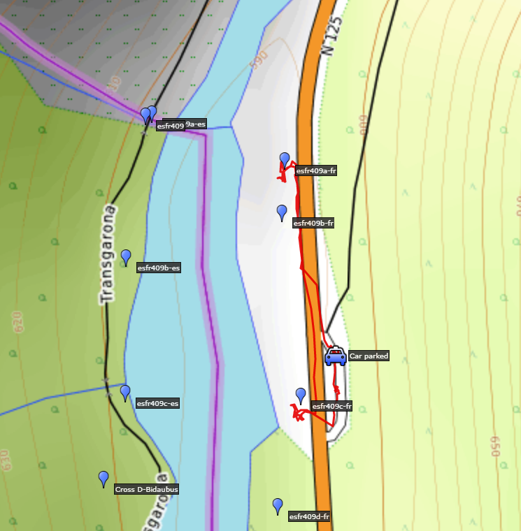
until I reach the bridge at bm409. (click photo to enlarge) |
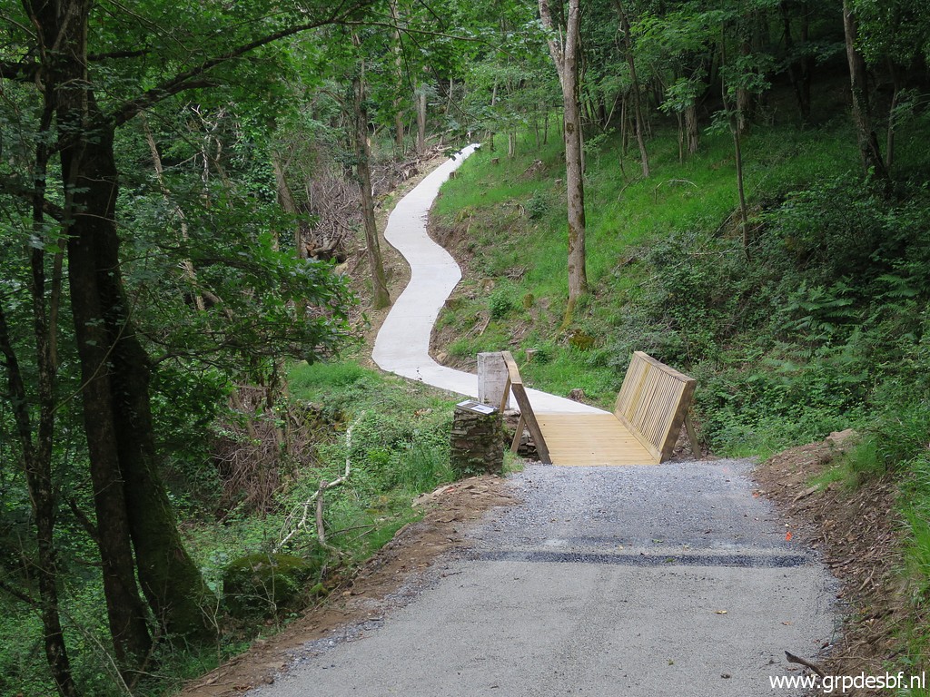 |
The bridge with bm409 at the other side. I was here yesterdag but then from the Spanish side. (click photo to enlarge) |
 |
Walking (click photo to enlarge) |
 |
and driving back. (click photo to enlarge) |
 |
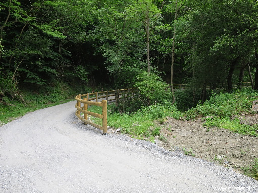
I continue (click photo to enlarge) |
 |
until this canal. (click photo to enlarge) |
 |
Then a little detour to see what has become of the camping of Fos. It has been closed years ago after floodings. (click photo to enlarge) |
 |
Could still be used - secretly - in case of need. But where to collect water? (click photo to enlarge) |
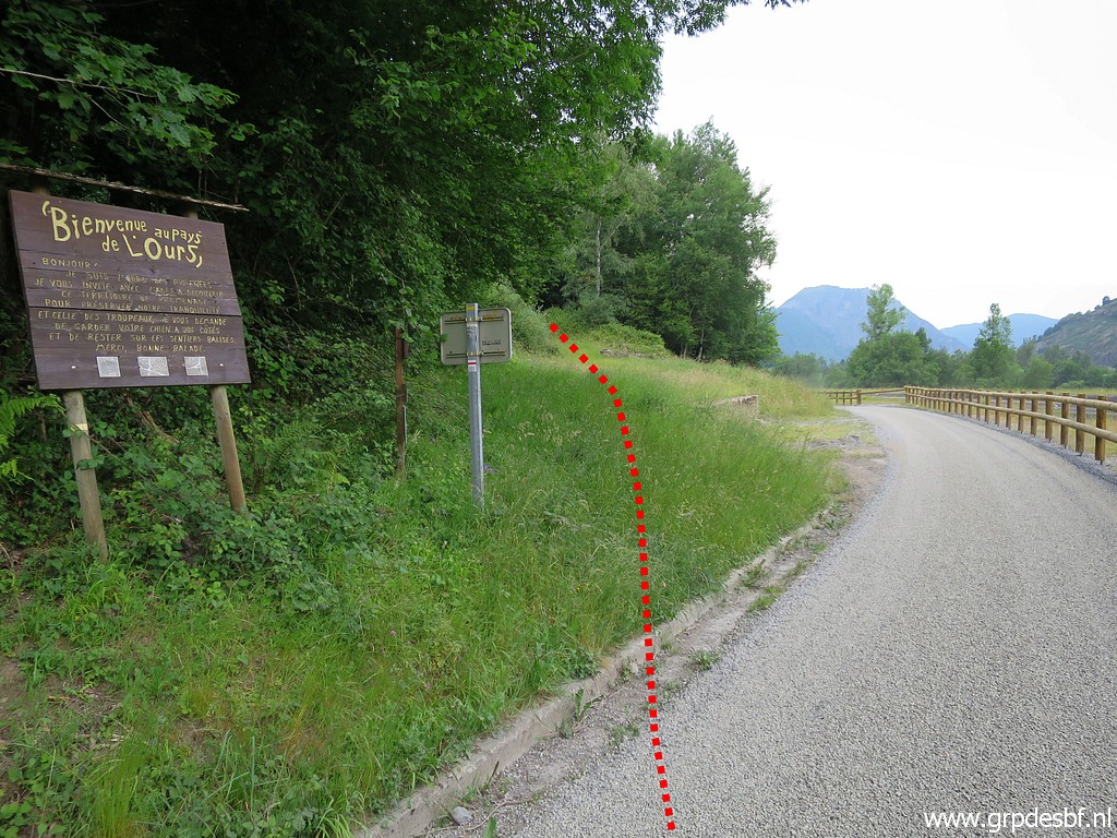 |
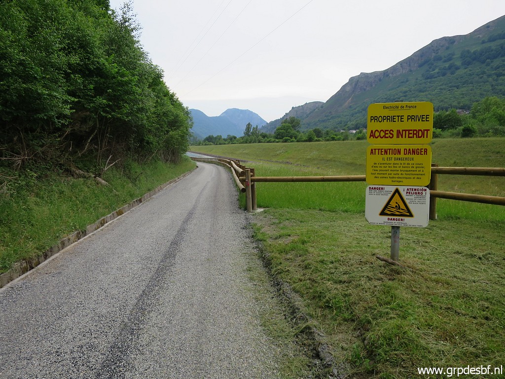
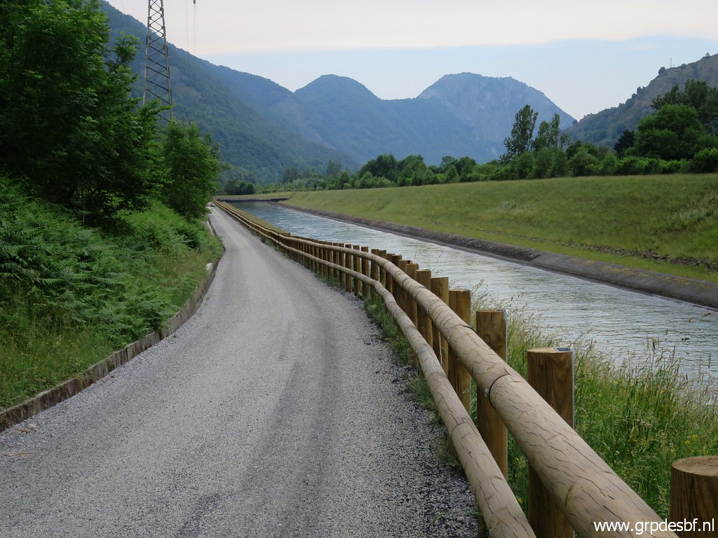
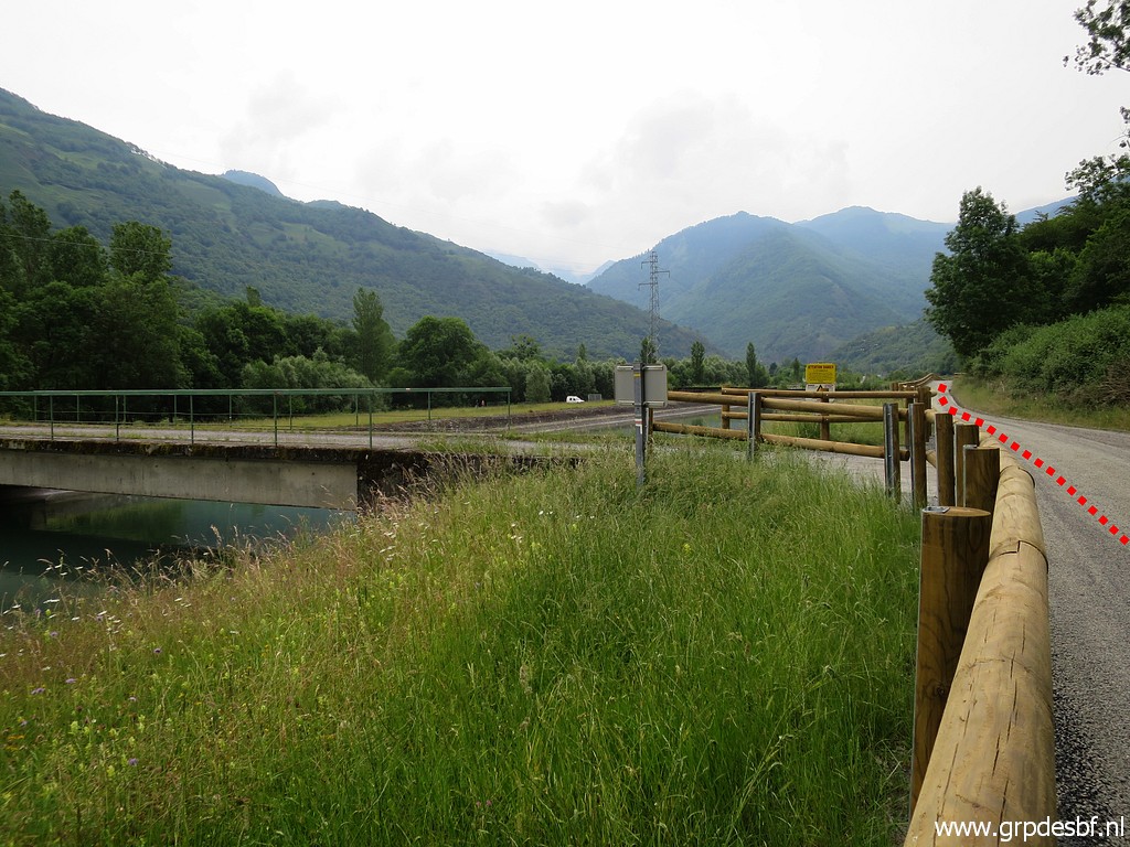
The
next stop is further along the canal. I park my car and cross a bridge
and walk along the cycle trail up to where the GR10-trail emerges from
the forest. (click photo to enlarge) |
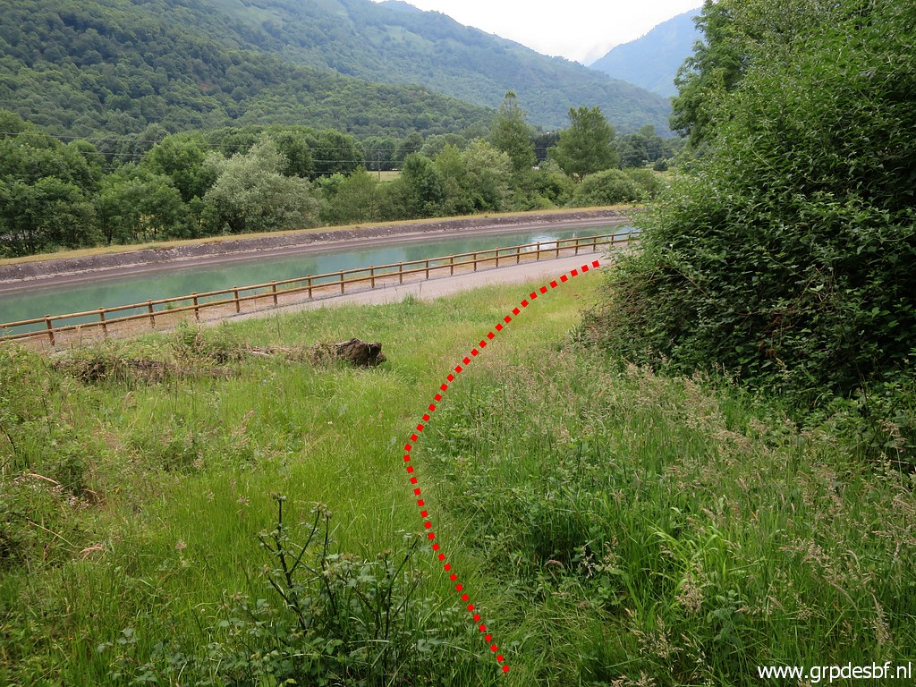 |
Same spot but now seen from the forest. (click photo to enlarge) |
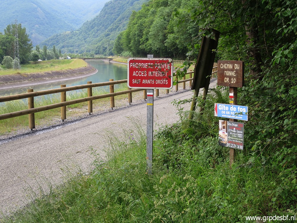 |
Walking back (click photo to enlarge) |
 |
The cycle trail continues along the canal. I cross the bridge to my car and drive to the camping. At night: pleasant dinner at Carlos & Conchita's and discussing our trip of tomorrow. (click photo to enlarge) |