|
The
bordermarkers of the Pyrenees : all my trips
 |
|
| -
saturday 15 april
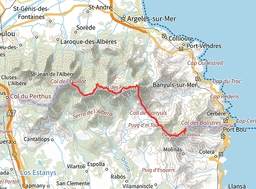
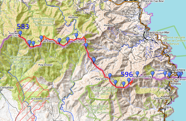
2023 - Trekking bm559-600 -> day 2: 583-596 |
 |
 |
Summary:
part of a series of 5 daytrips and one 3-days backpacking trip in april
2023. This is day 5 and the second day of the 3-days hike rom bm559 to 600. Most of these markers I have done at least 10 years ago and that is the reason to do them again. Today: proceeding from bm583 to bm596 along the borderridge, food and water limited, sources are dry. Weather: sunny, very strong wind. |
 track-20230415.gpx
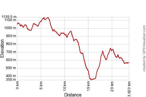
This gpx-track has not been manually corrected which explains the inaccuracy and misalignment at some points. The original elevation recording has been replaced by more accurate DEM-data with Gpsvisualizer.com. For cartographic backgrounds: see the cartography-page Gps-waypoints of all bordermarkers (most recent version): kml: esfr-bordermarkers-all-waypoints.kml gpx: esfr-bordermarkers-all-waypoints.gpx (with reliable elevation data added by gpsvisualizer.com) |
|
 |
According to Garmin
Basecamp (uncorrected track with elevation added by Gpsvisualizer.com): Distance: 23,6 km Max-height: 1139m Min-height: 355m Elevation: +1112m -1593m Total elevation: 2705m Start 8:33 Finish 19:02 Total time: 10:29 |
 | Back
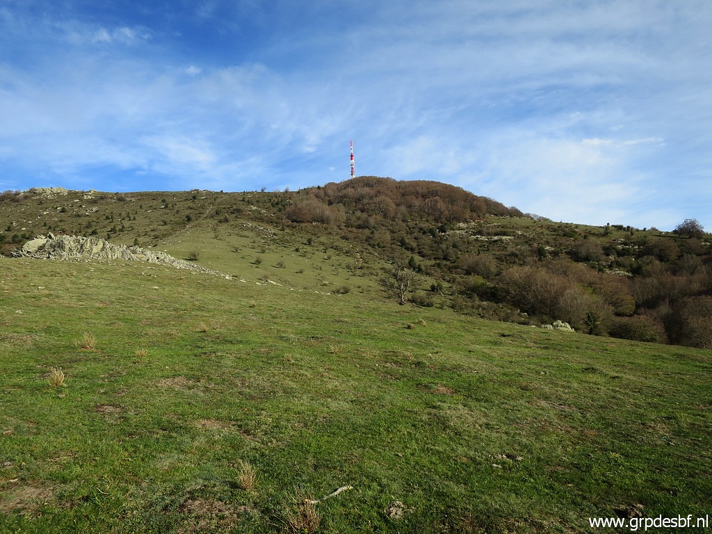
at the borderridge after my night of free camping. In the distance Puig
Neulós with its antenna. It's been a cold start but in the sun I warm
up quickly. But: in the middle of the night, I discovered that some animal had drawn my foodsupply from under the tent and eaten half of it. So I have to ration my food-intake. Luckily the Font de Tanyareda has abundantly running water. (click photo to enlarge) |
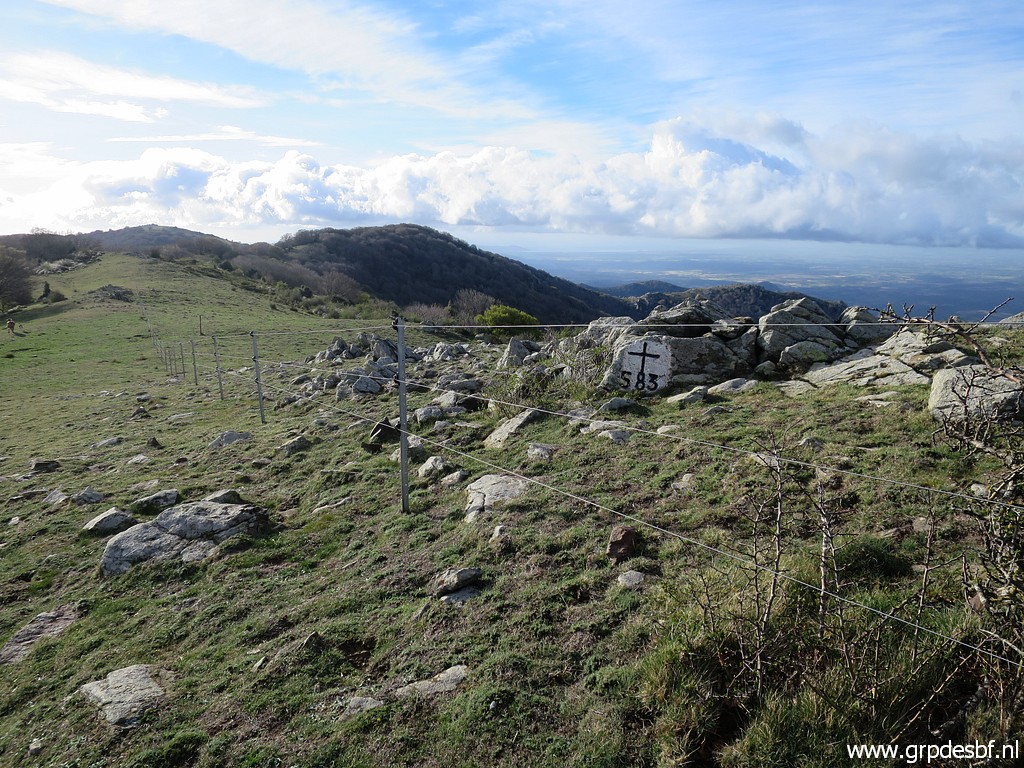 | Starting with bm583. It's a glorious day and I sing happily and loudly the sad song "Quand le soleil dit bonjour aux montagnes". (click photo to enlarge) |
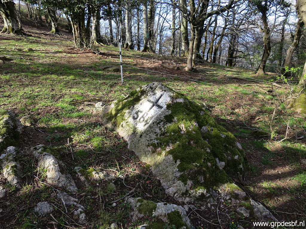
 | Bm583 (click photo to enlarge) |
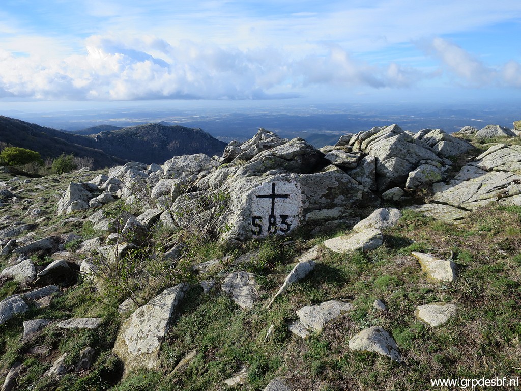
 | Bm583 (click photo to enlarge) |
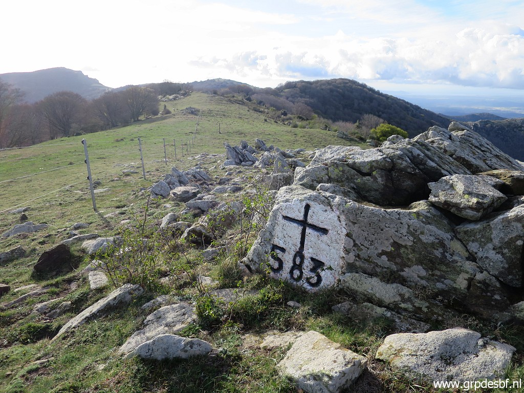
 | Bm583 (click photo to enlarge) |
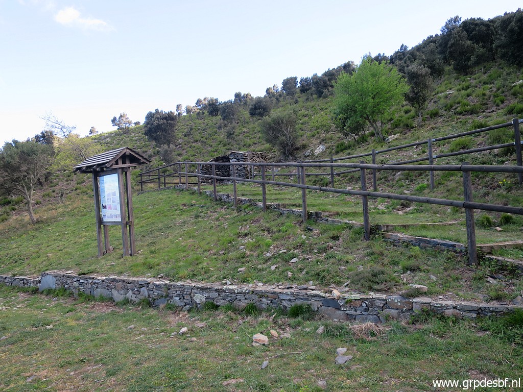
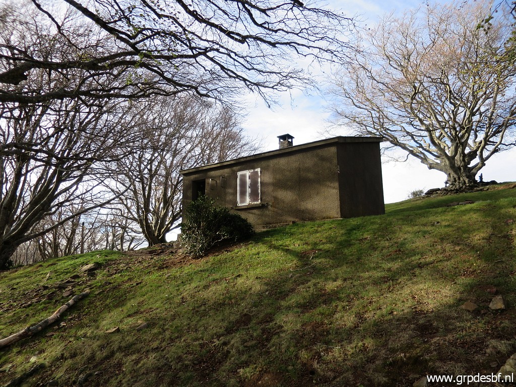 | Passing the cabane de Tanyareda (click photo to enlarge) |
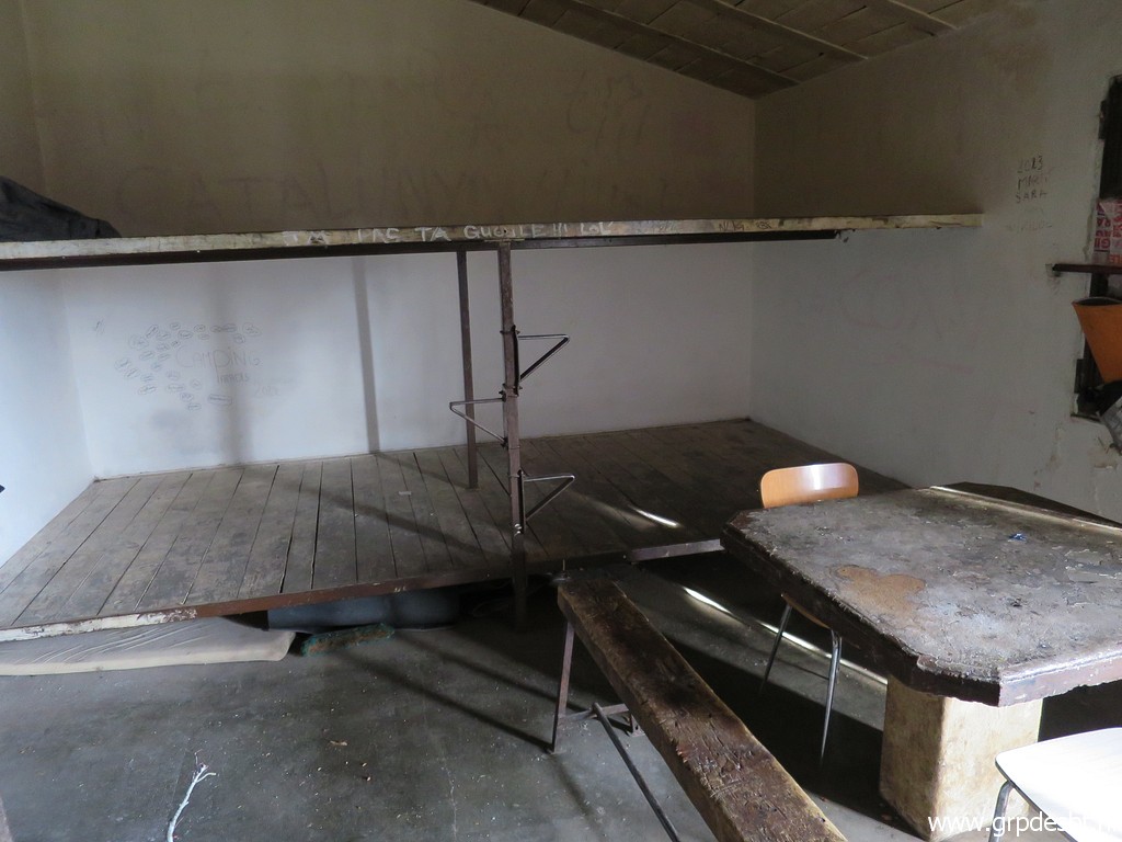 | with its minimal furniture. Luckily I find some pasta on a shelf to replenish my supplies. (click photo to enlarge) |
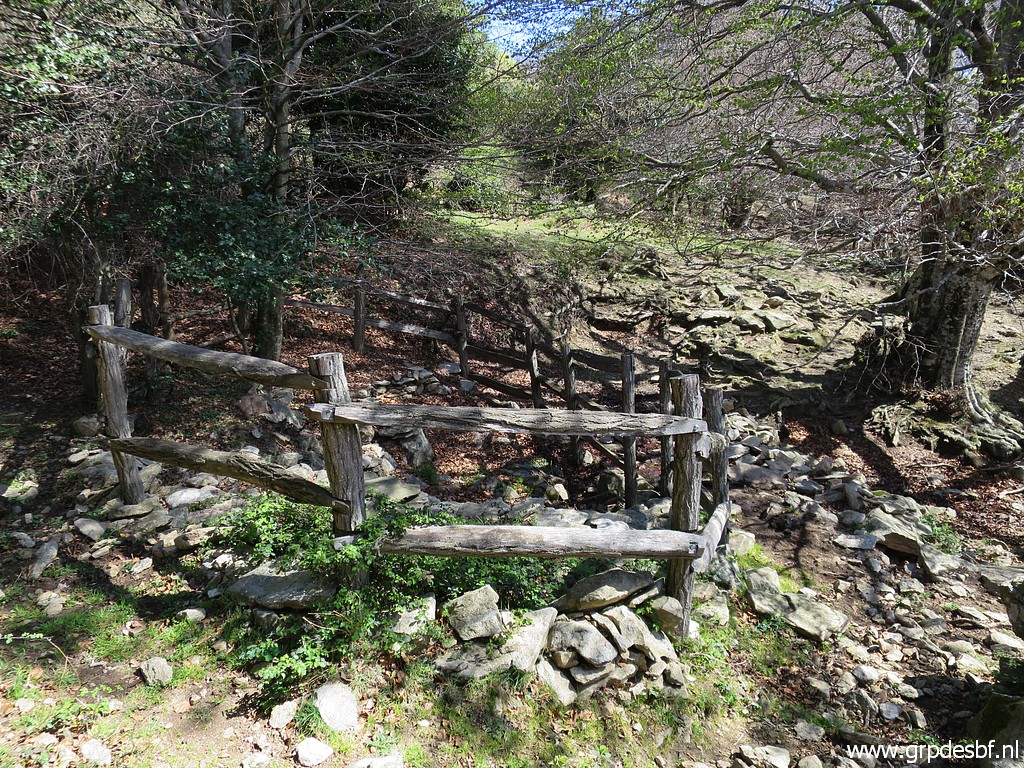
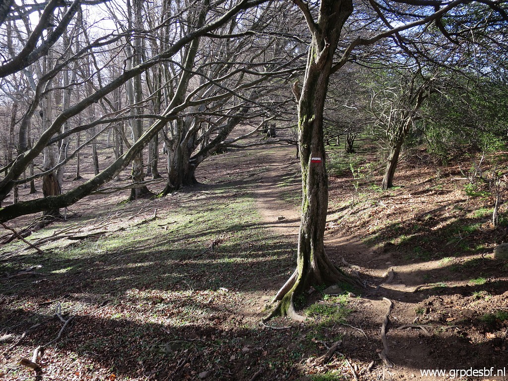 | Easily walking through a beech forest (click photo to enlarge) |
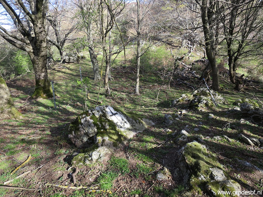
 | and passing this fence (click photo to enlarge) |
 | to get to bm584. (click photo to enlarge) |
 | Bm584 (click photo to enlarge) |
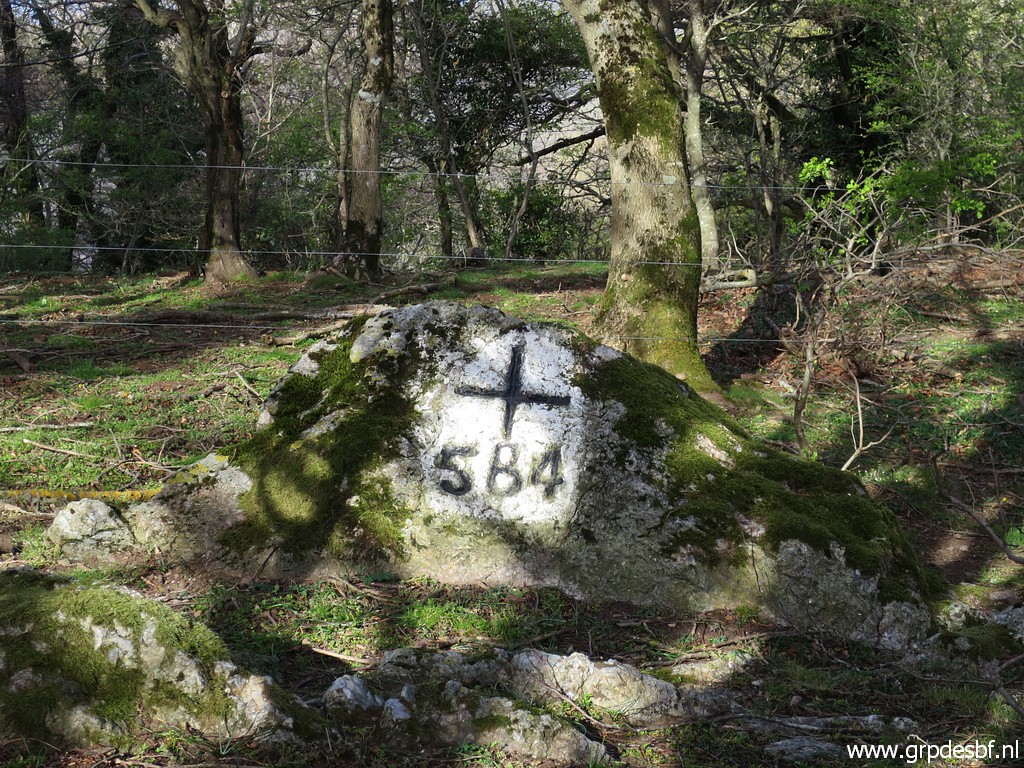 | Bm584 (click photo to enlarge) |
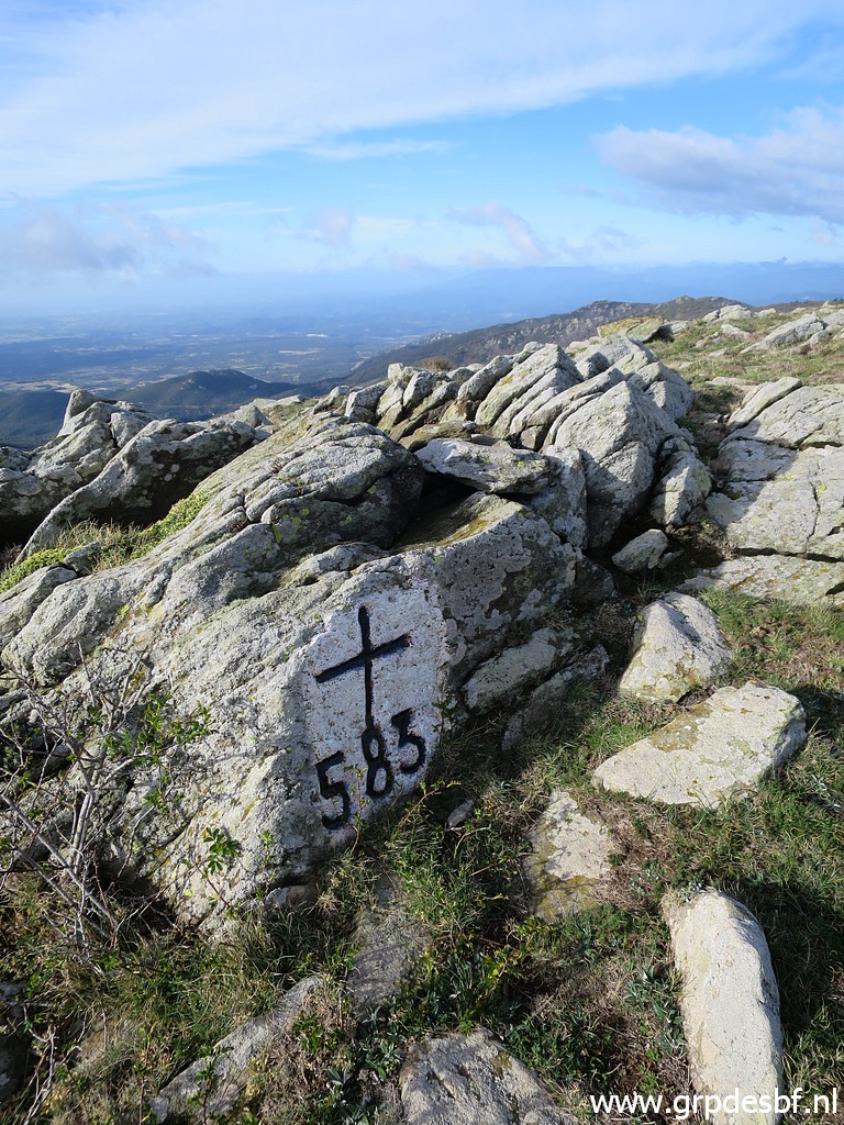
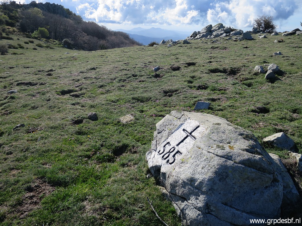
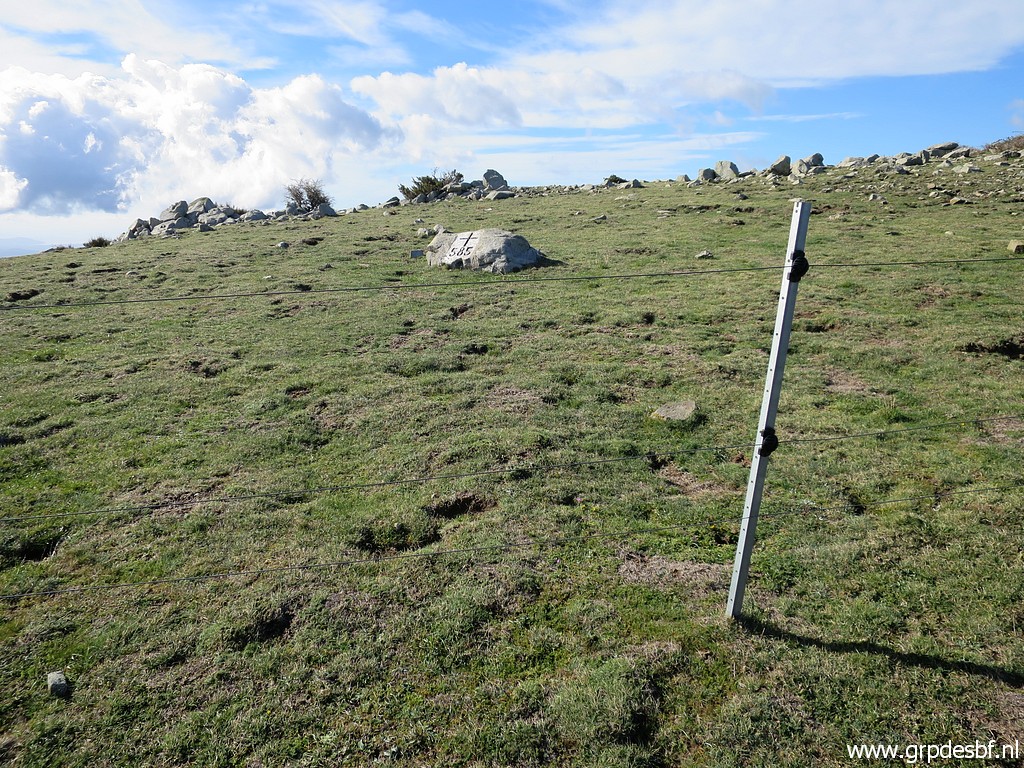 | Again in open terrain where the wind is gaining more and more force. Bm585 is visible at the other side of the fence. (click photo to enlarge) |
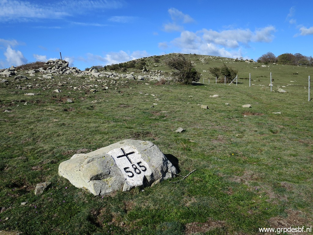 | Bm485 (click photo to enlarge) |
 | Bm485 (click photo to enlarge) |
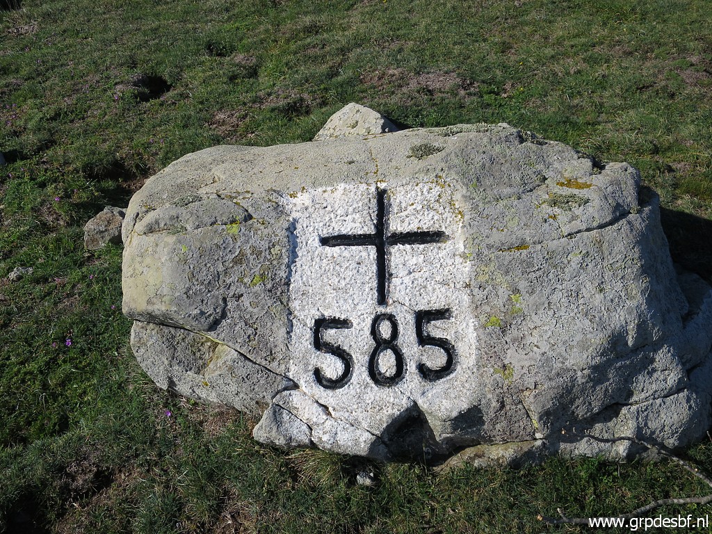 | Bm485 (click photo to enlarge) |
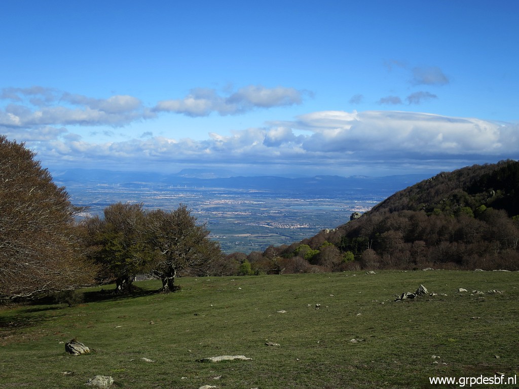 | A view into France. (click photo to enlarge) |
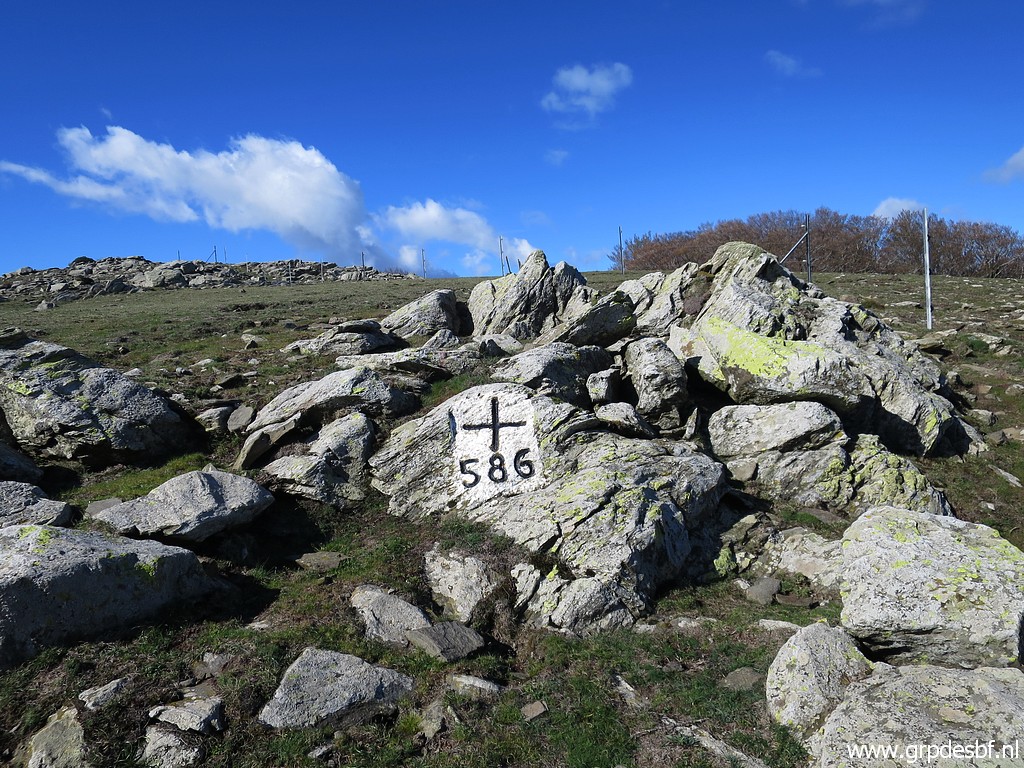 | Then bm586. (click photo to enlarge) |
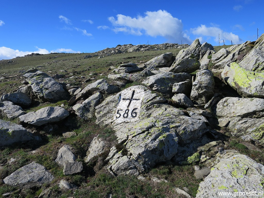 | Bm586 (click photo to enlarge) |
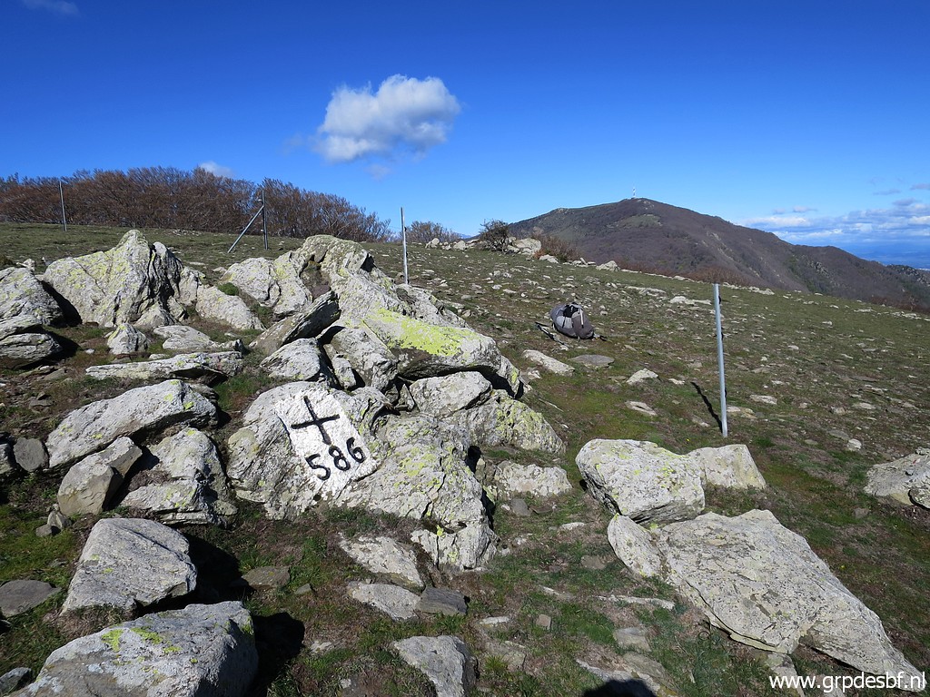 | Bm586 (click photo to enlarge) |
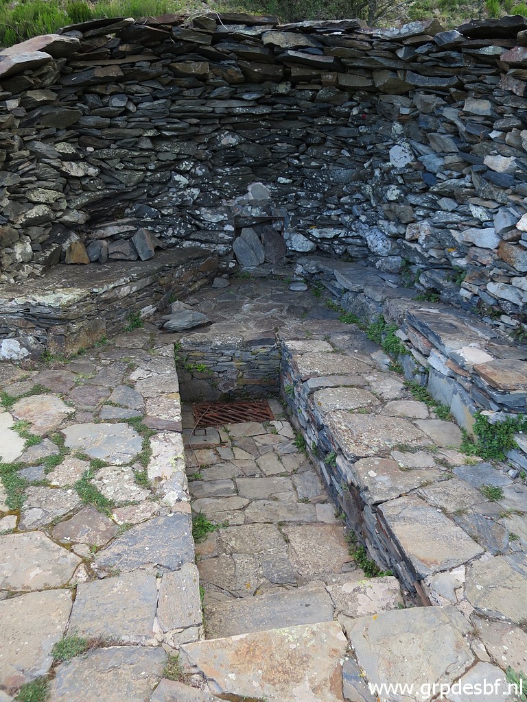
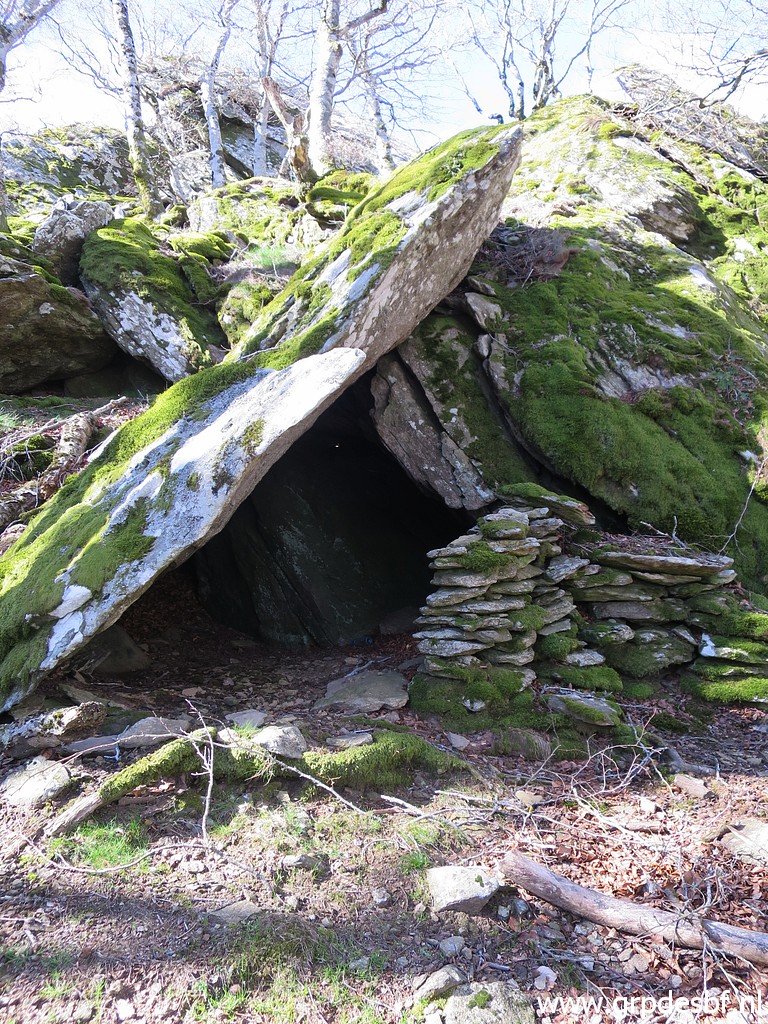 | Then the trail goes in a half circle unterneath Puig de Pradets through a nice beech forest. On the Osmand-map on my smartphone I see in the forest a sort of shelter and that is this one. (click photo to enlarge) |
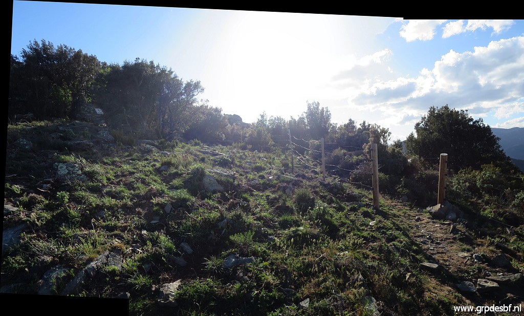
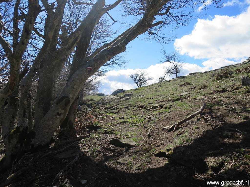 | Getting back in open terrain and on the ridge (click photo to enlarge) |
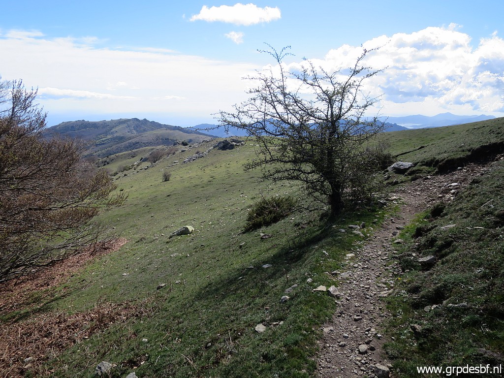 | on a well trail, still the GR10, (click photo to enlarge) |
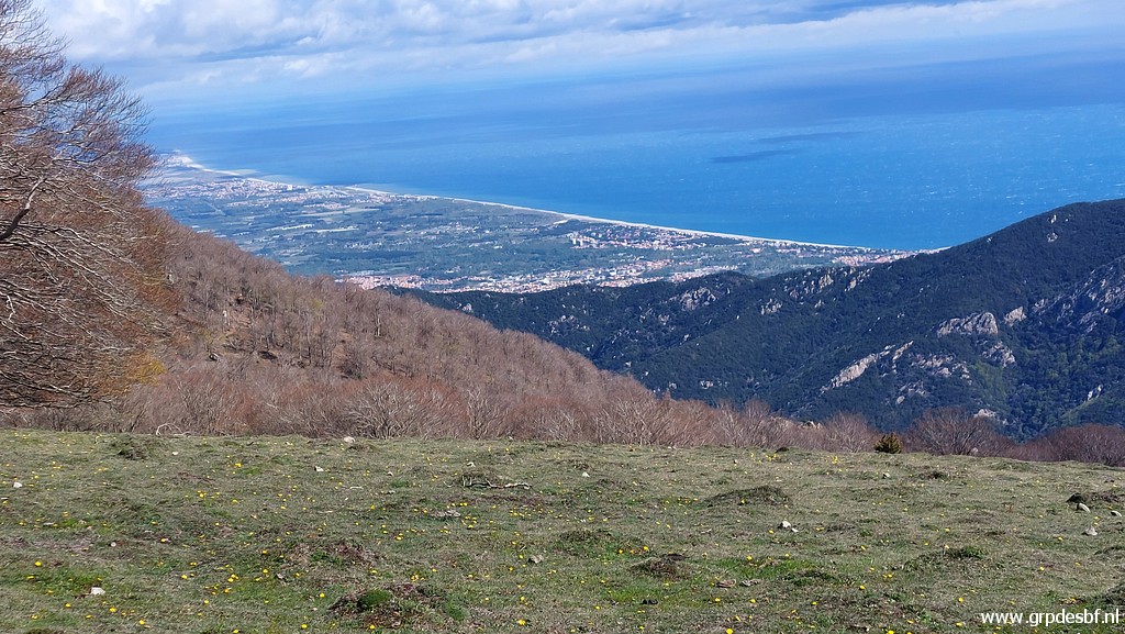 | and with a view to the French coast. (click photo to enlarge) |
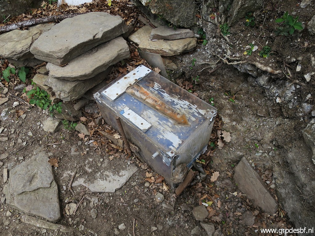
 | I check the Font de la Maçana (click photo to enlarge) |
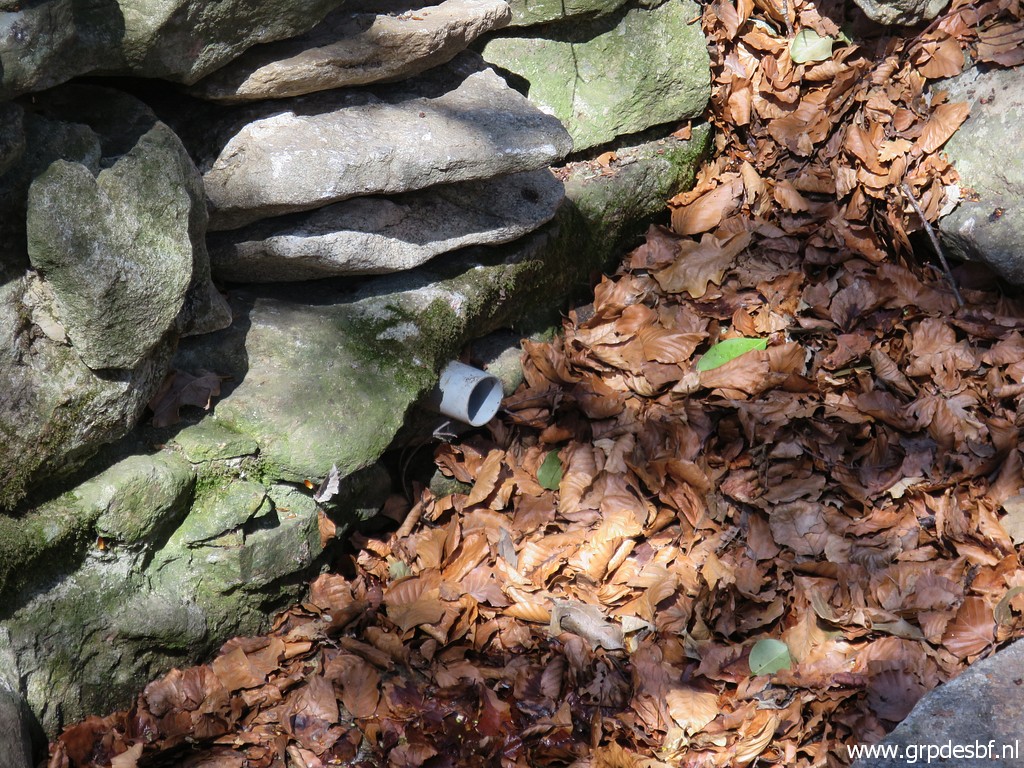 | but it is dry. I now realize that also the next sources might be dry so I have to ration my water-intake also. (click photo to enlarge) |
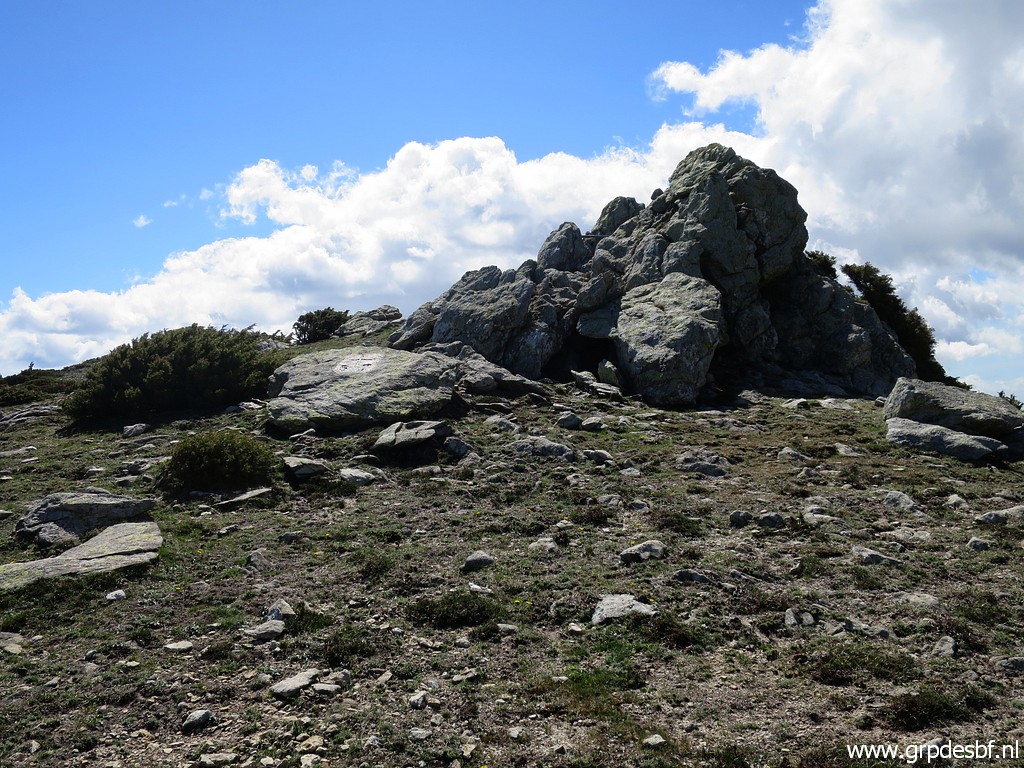 | Bm587 in view. (click photo to enlarge) |
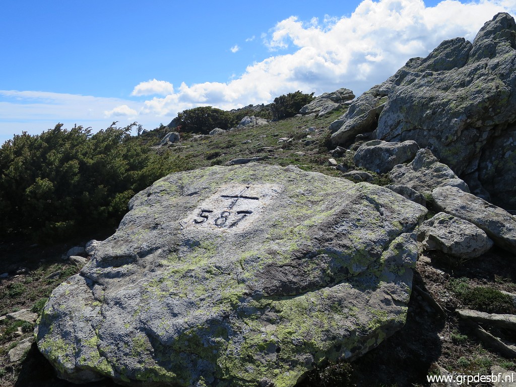 | Bm587 (click photo to enlarge) |
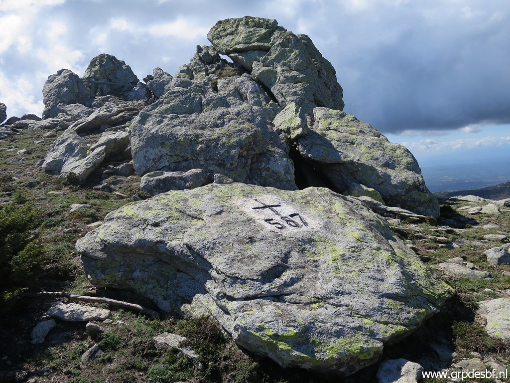 | Bm587 (click photo to enlarge) |
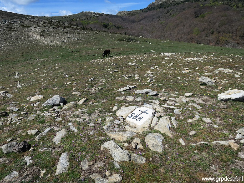 | The next one is bm588. (click photo to enlarge) |
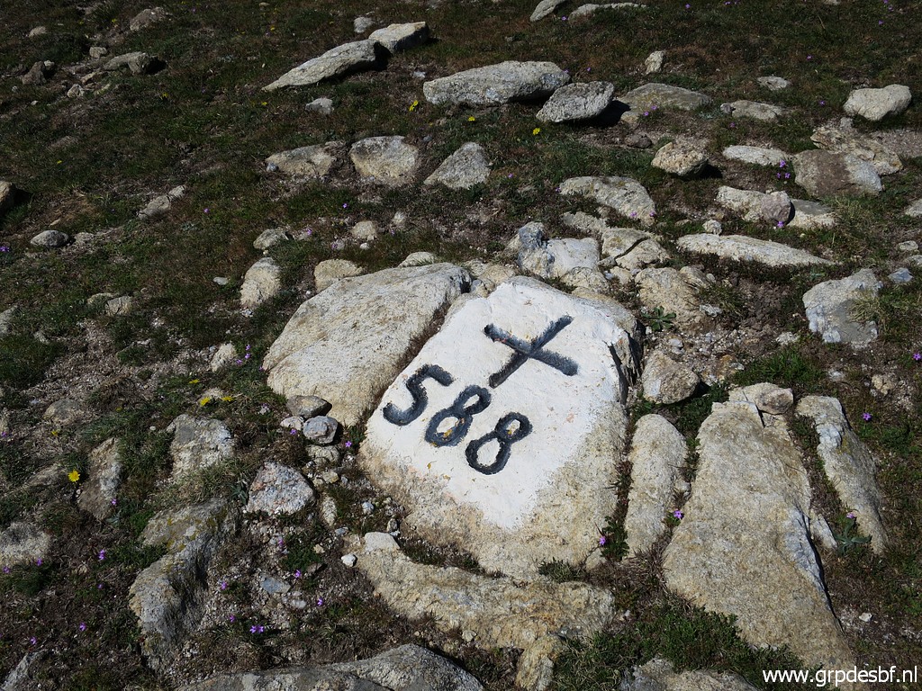 | Bm588 (click photo to enlarge) |
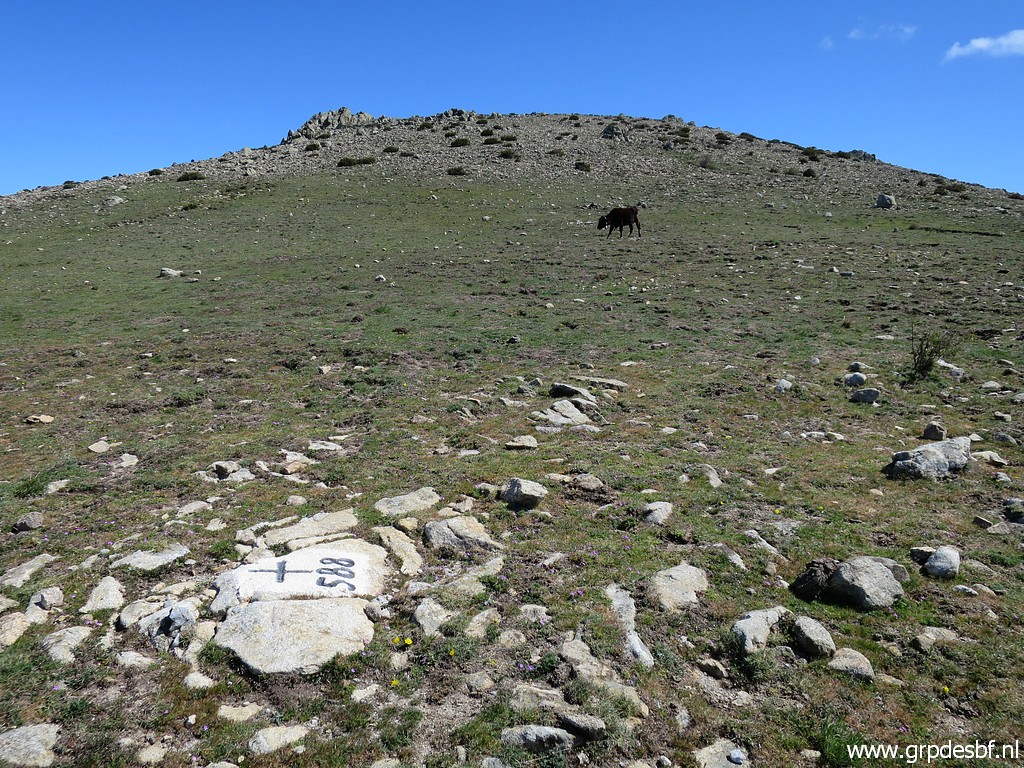 | Bm588 (click photo to enlarge) |
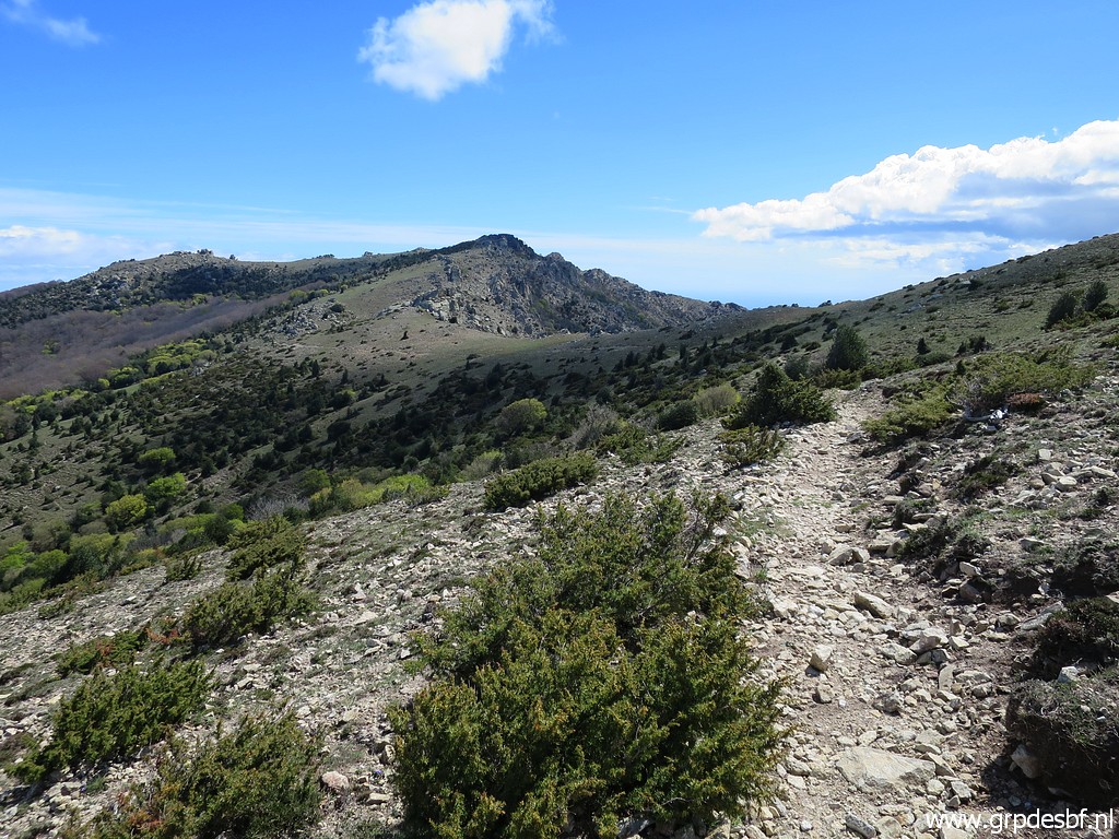 | Proceeding, the wind is very, very strong now. (click photo to enlarge) |
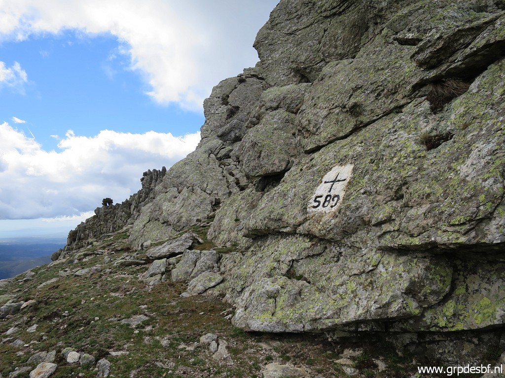 | Bm589 (click photo to enlarge) |
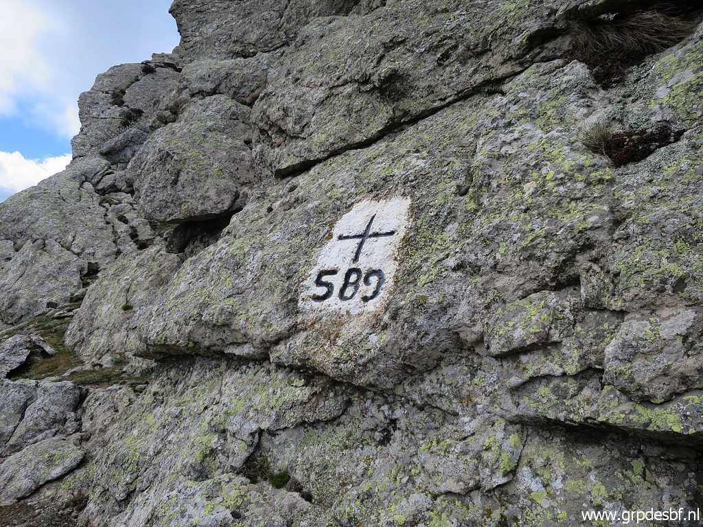 | Bm589 (click photo to enlarge) |
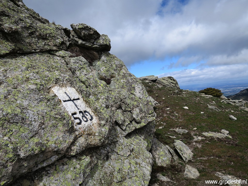 | Bm589 (click photo to enlarge) |
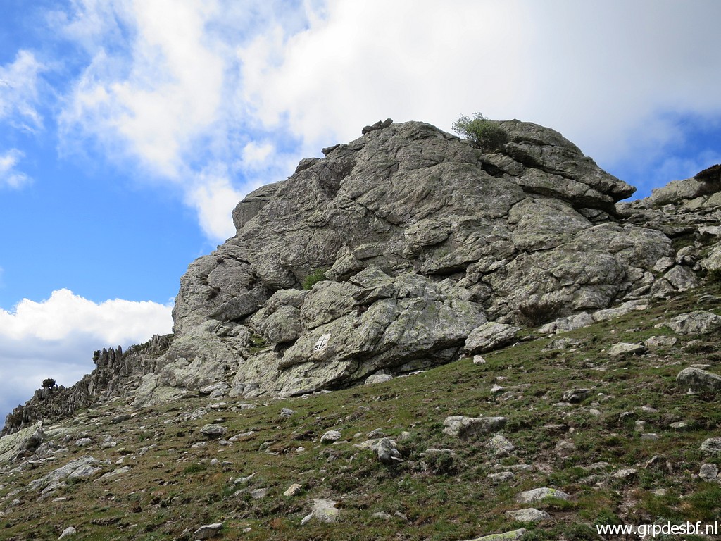 | Bm589 from a distance. (click photo to enlarge) |
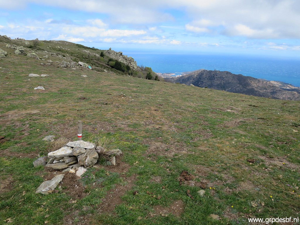 | Still on the GR10-trail. (click photo to enlarge) |
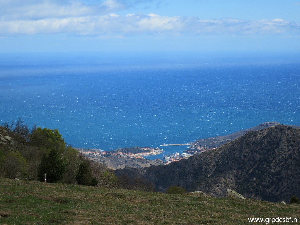 | A view to the harbour of Port Bou in Spain. (click photo to enlarge) |
 | Once having arrived at a sort of col S of Puig de Sallfort, the trail descends and bends to the S. (click photo to enlarge) |
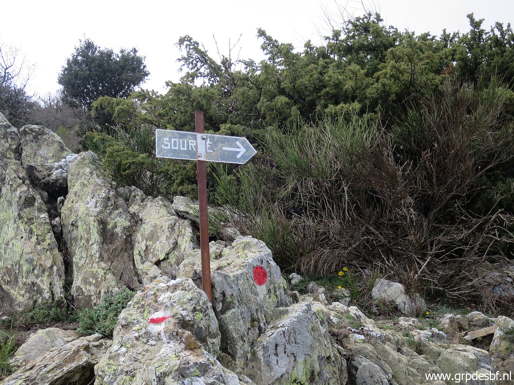 | Further on, there is this waysign to a source, the source François Grand. (click photo to enlarge) |
 | But that one is also dry. Back to the main trail. (click photo to enlarge) |
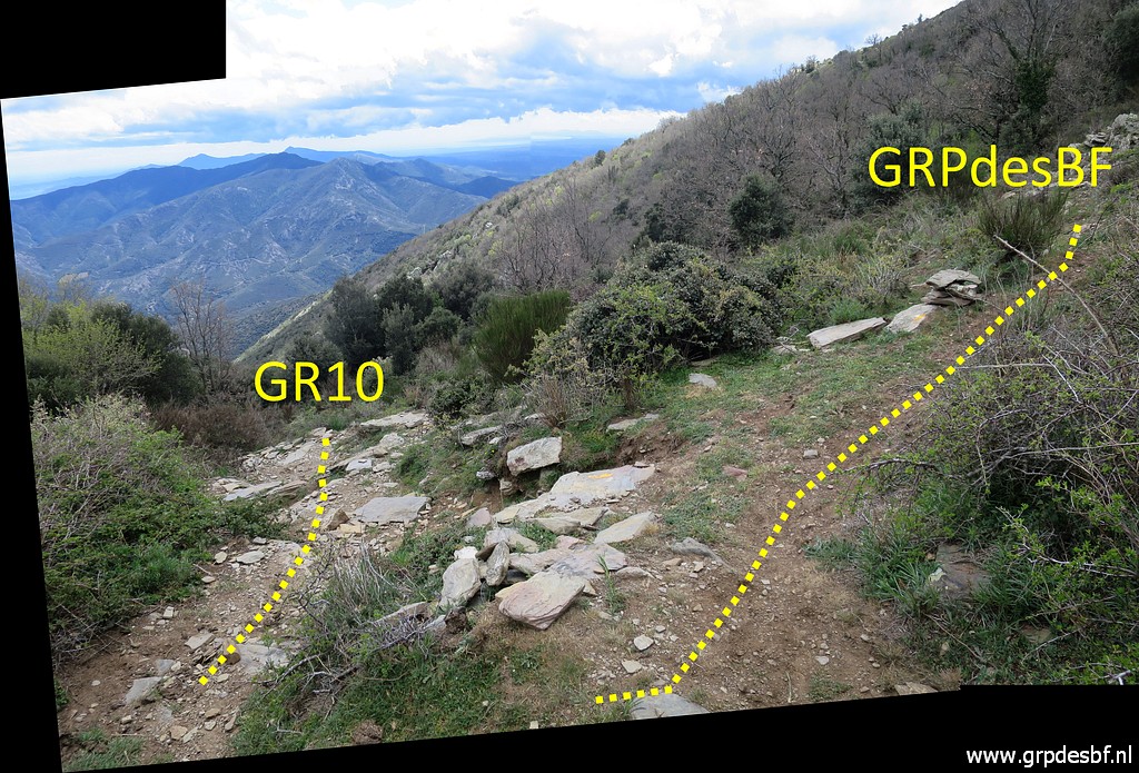 | Then there is this diversion. The trail going down is the GR10. But I have to continue S. (click photo to enlarge) |
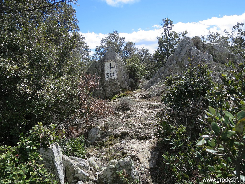 | The trail descends and I reach bm590. (click photo to enlarge) |
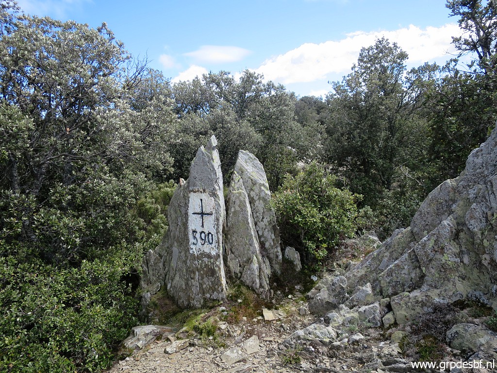 | Bm590 (click photo to enlarge) |
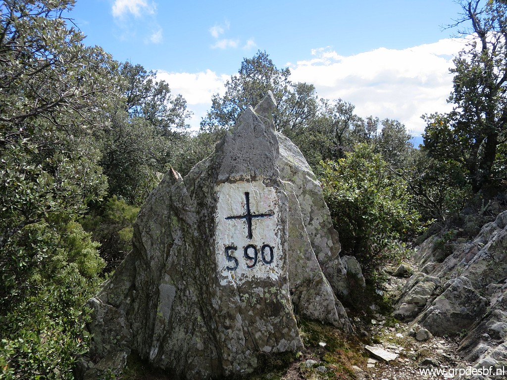 | Bm590 (click photo to enlarge) |
 | Then a long descent to Coll de Banyuls. (click photo to enlarge) |
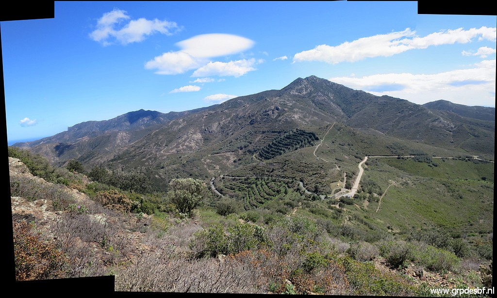
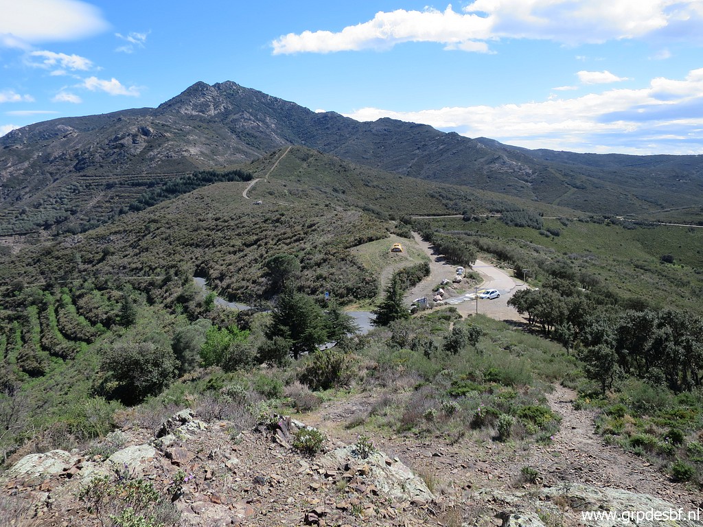 | After the Coll I will continue S to the hilltop in the background. (click photo to enlarge) |
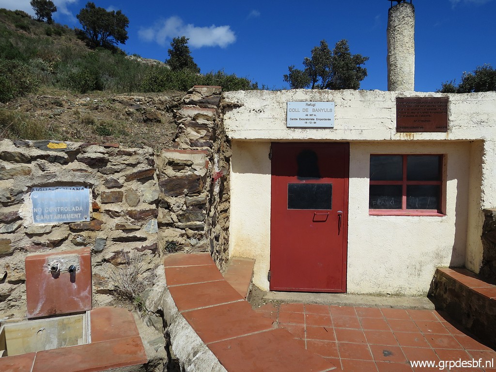 | A nice cabin at Coll de Banyuls where I take a coffee-break, sheltered for the wind. But no watersources around. (click photo to enlarge) |
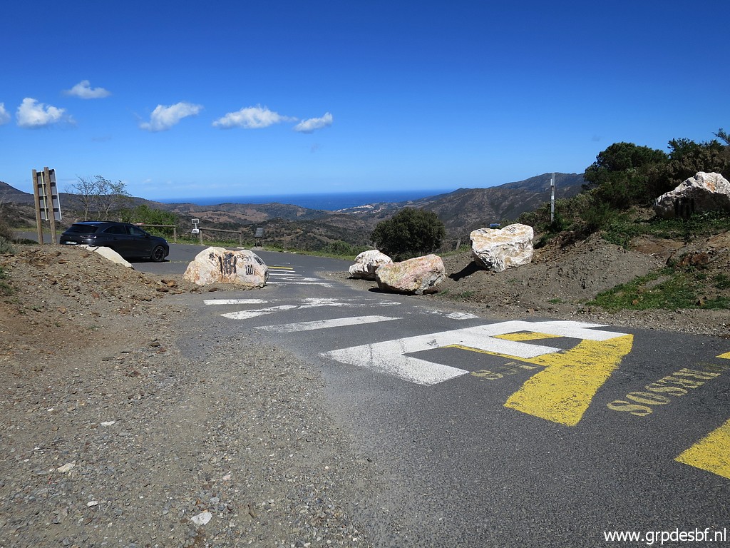 | The
Coll is since a few years blocked by the authorities to prevent
smuggling and human trafficking. much to the dismay of the local people. (click photo to enlarge) |
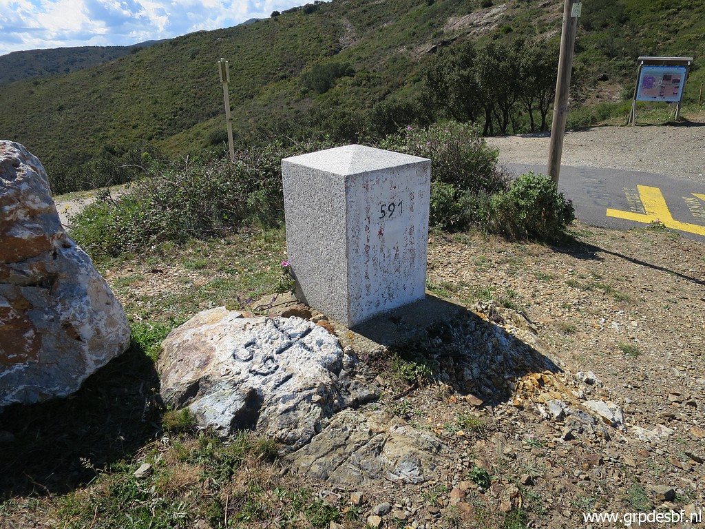 | Bm591: cross and pillar. (click photo to enlarge) |
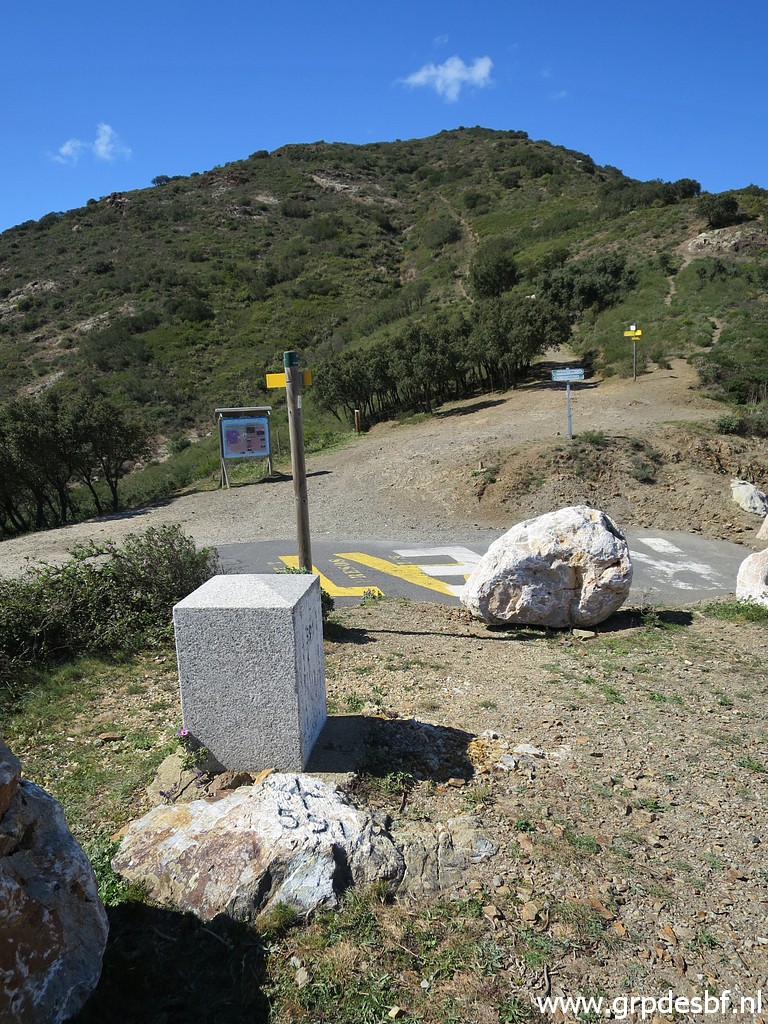 | Bm591 (click photo to enlarge) |
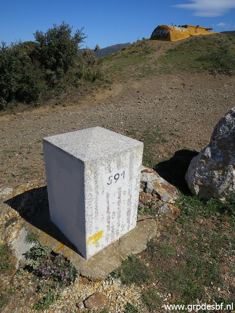 | Bm591 (click photo to enlarge) |
 | Not far away is bm592. (click photo to enlarge) |
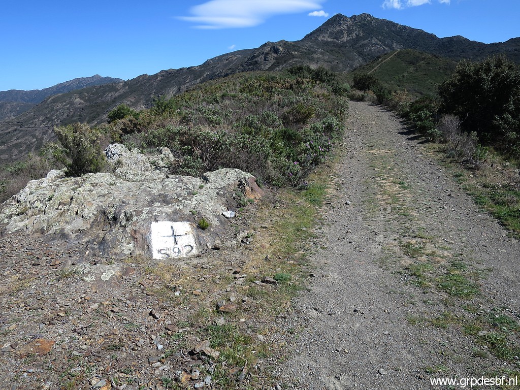 | Bm592 (click photo to enlarge) |
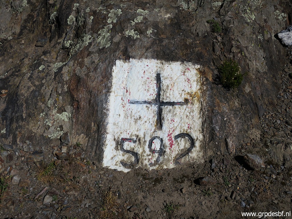 | Bm592 (click photo to enlarge) |
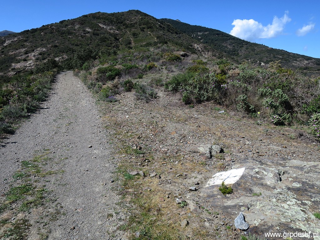 | Bm592, looking back. (click photo to enlarge) |
 | A diversion, I have to go left. (click photo to enlarge) |
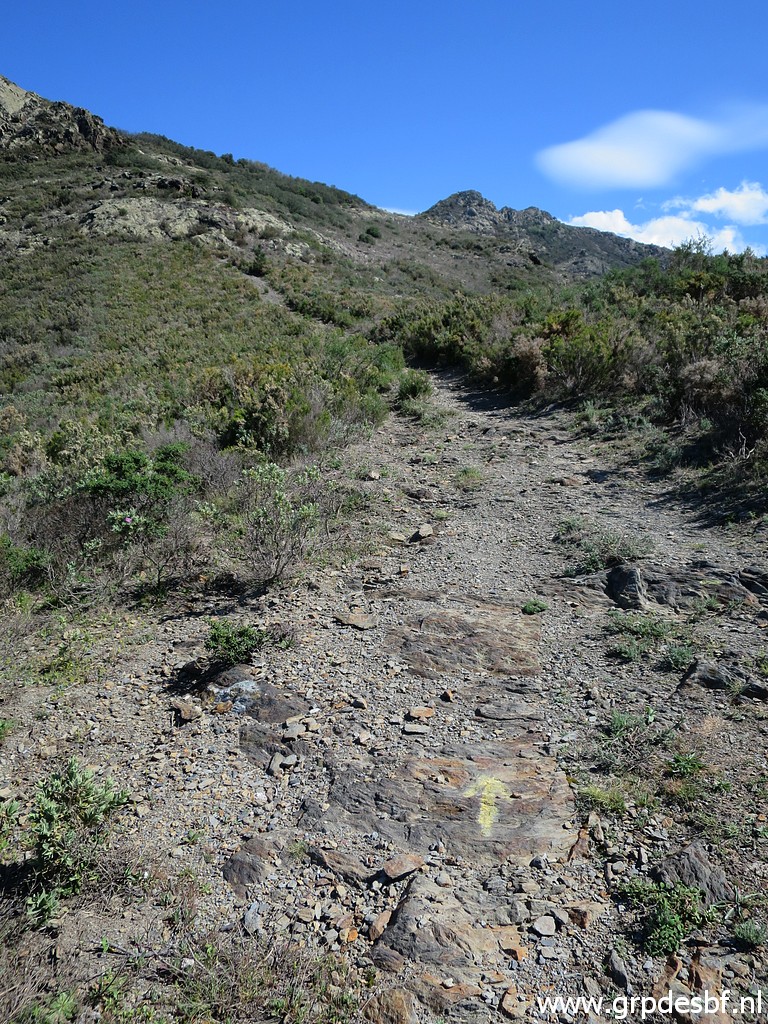 | And the climbing starts, note the yellow arrow. (click photo to enlarge) |
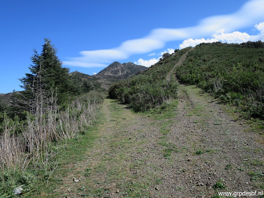
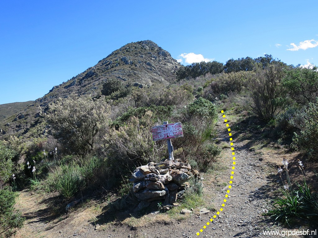 | Another diversion. (click photo to enlarge) |
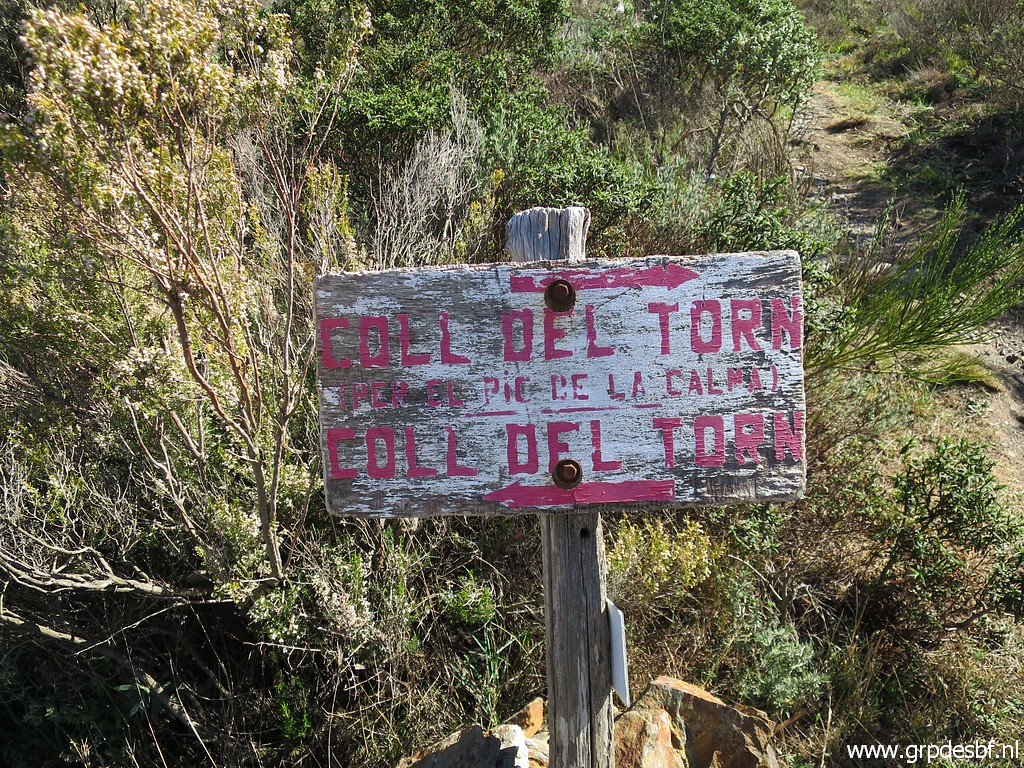 | Both tracks lead apparently to Coll del Torn where bm592 is. I take the route over the Puig de la Calma. (click photo to enlarge) |
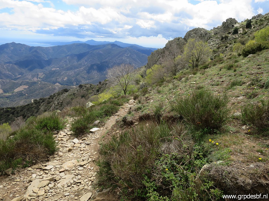
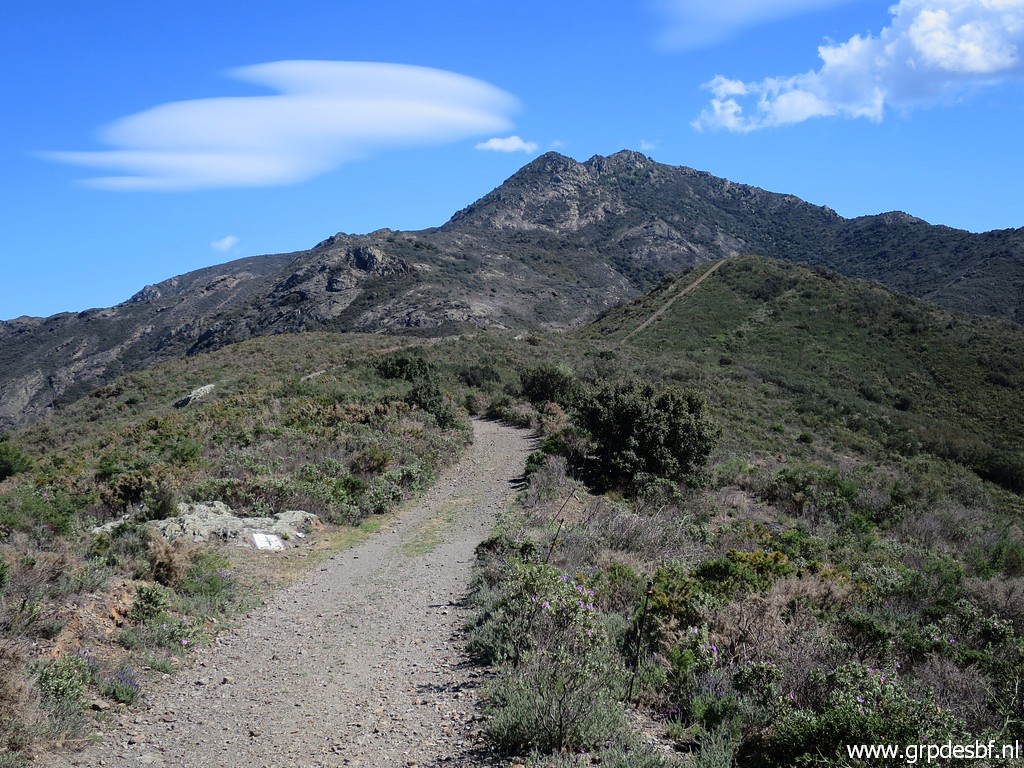
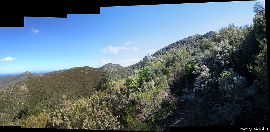 | A view of the borderridge yet to come. (click photo to enlarge) |
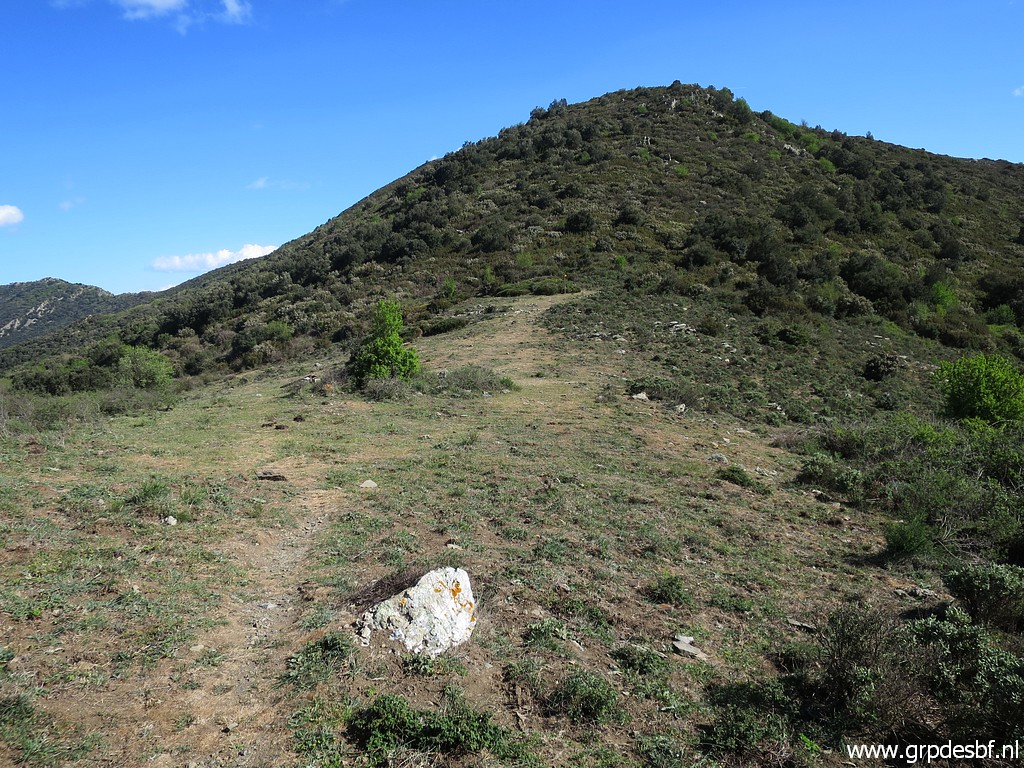 | Arriving at Coll del Torn (click photo to enlarge) |
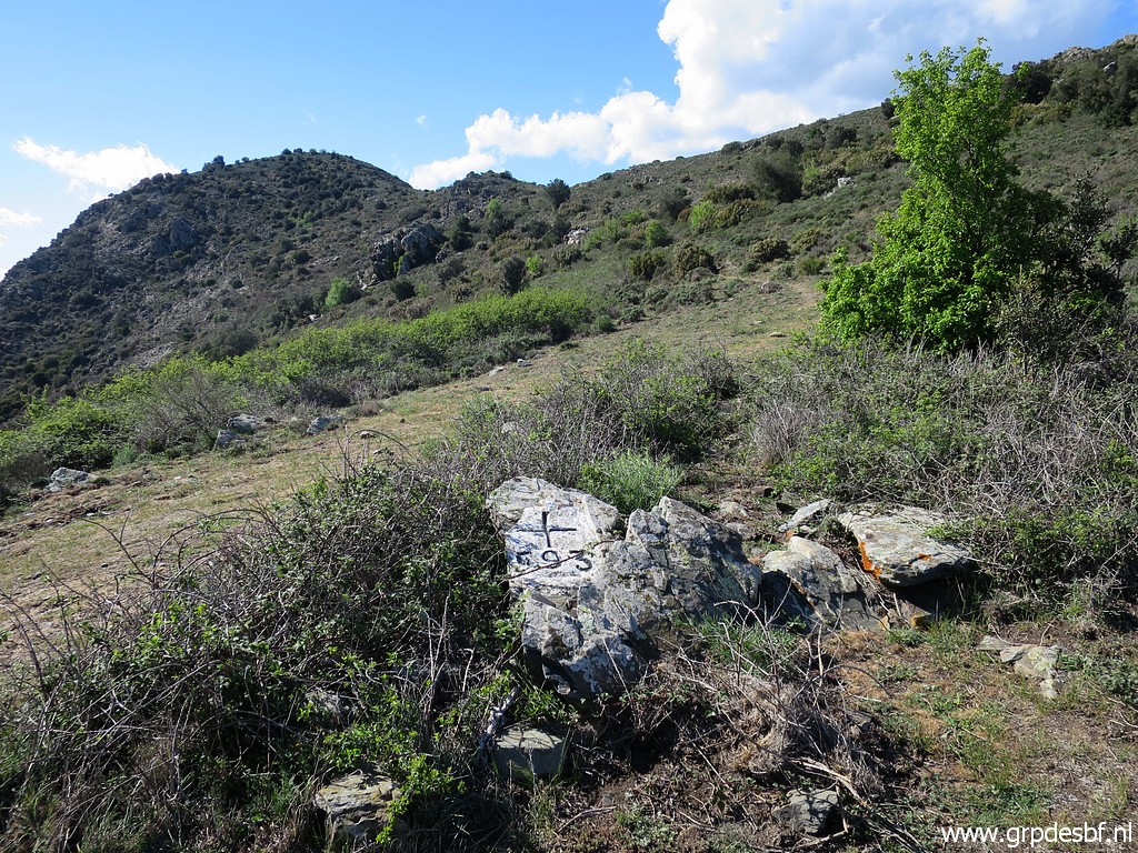 | with bm593. Strong wind with strong gusts makes walking tiring. (click photo to enlarge) |
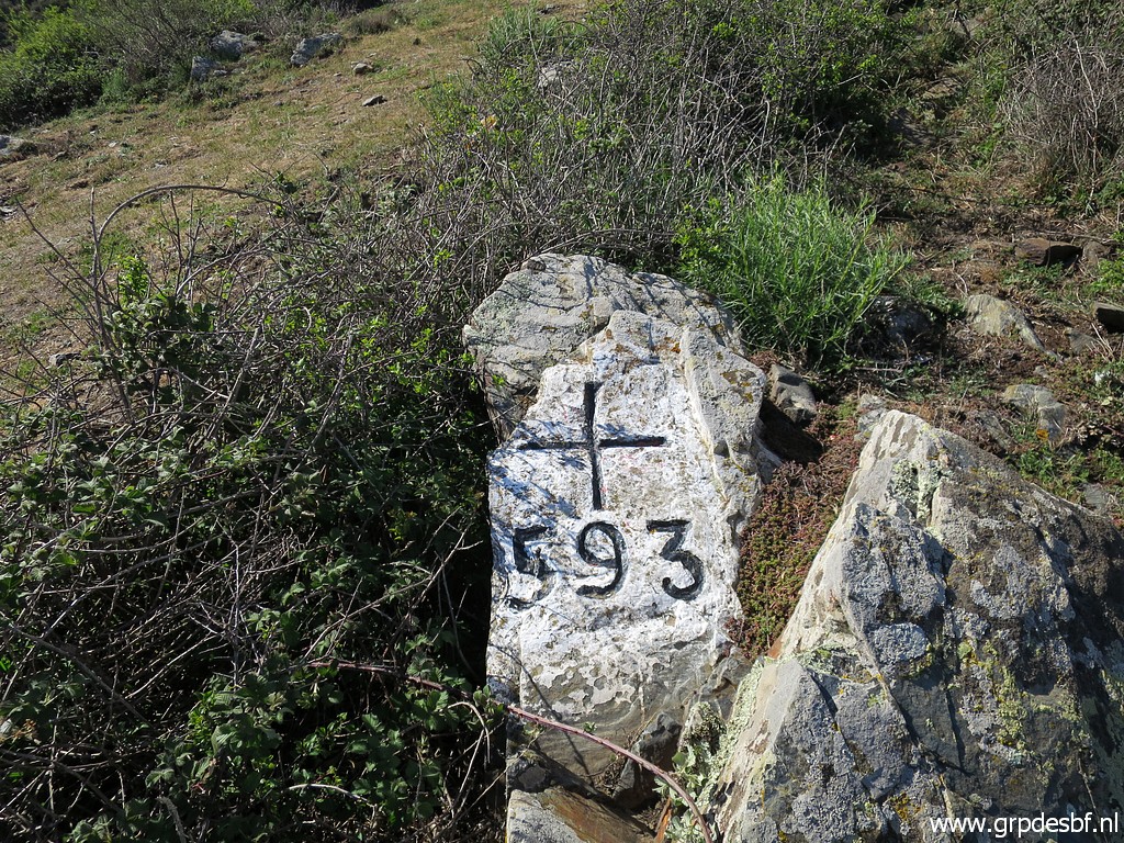 | Bm593 (click photo to enlarge) |
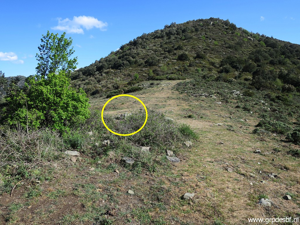 | Bm593, backside of it. (click photo to enlarge) |
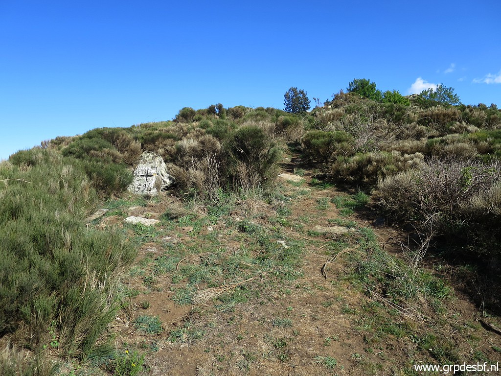 | Further along the ridge bm594. (click photo to enlarge) |
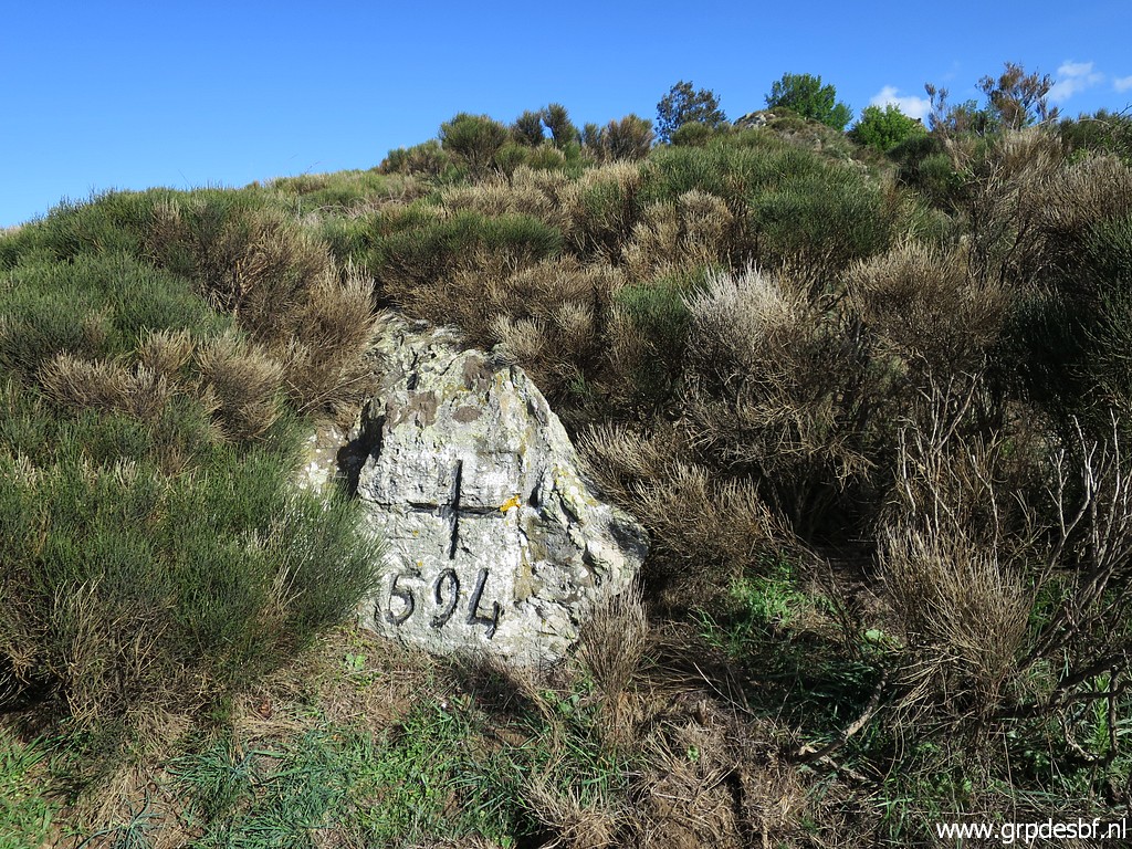 | Bm594 (click photo to enlarge) |
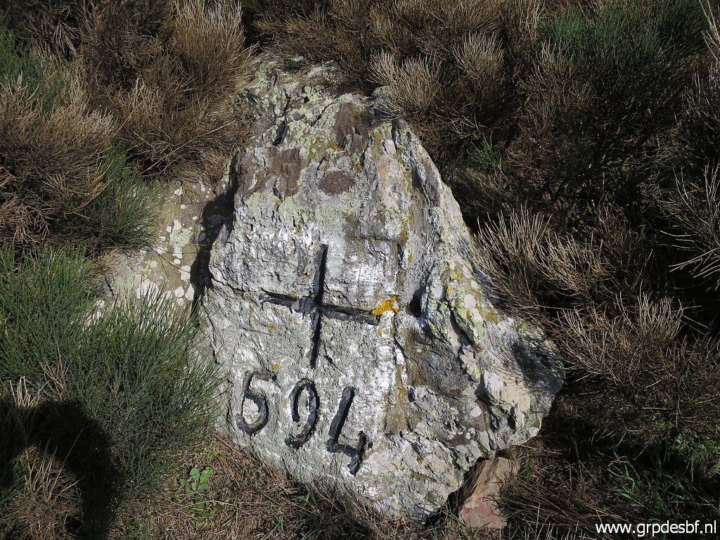 | Bm594 (click photo to enlarge) |
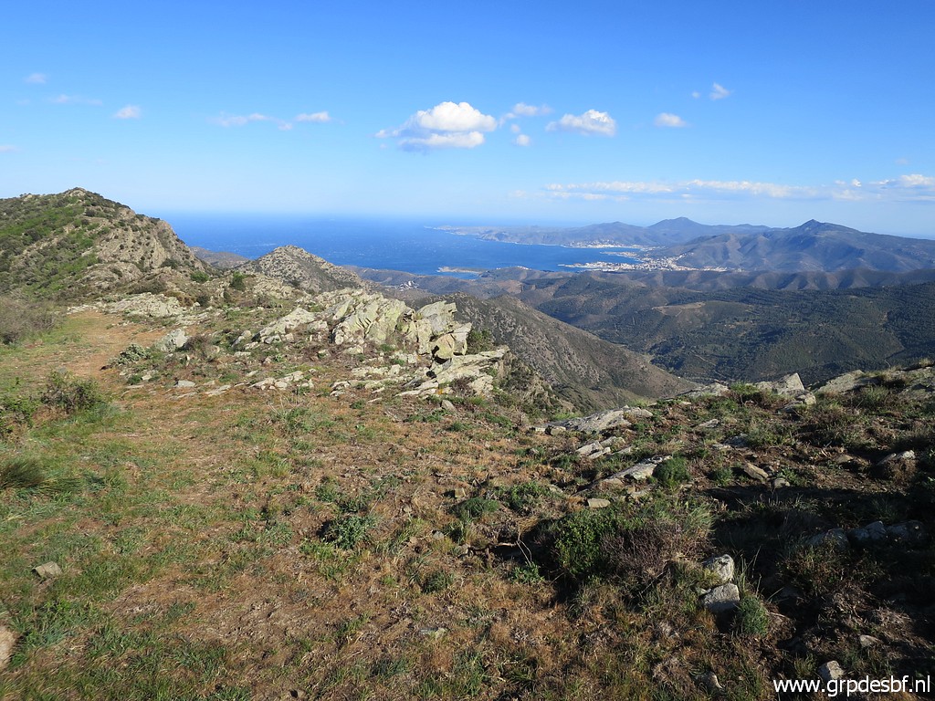 | This is approximately the spot where the borderridge turns to the E. (click photo to enlarge) |
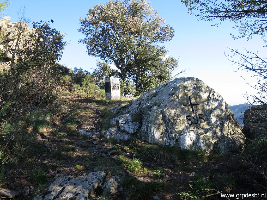 | Bm595: cross and pillar. (click photo to enlarge) |
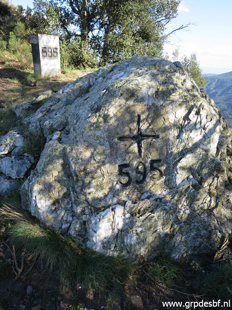 | Bm595 (click photo to enlarge) |
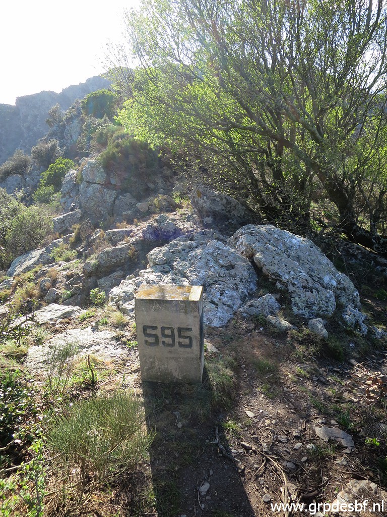 | B595, looking back (click photo to enlarge) |
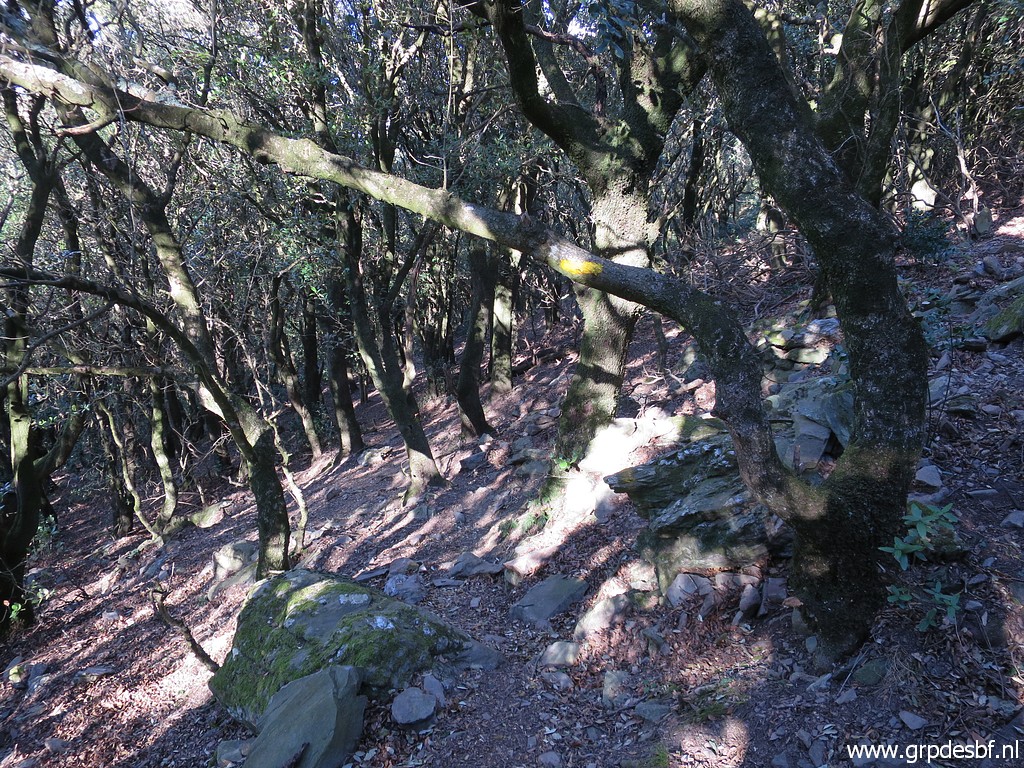 | Then a traverse of a forest on the French mountainside of Puig de Taravaus (click photo to enlarge) |
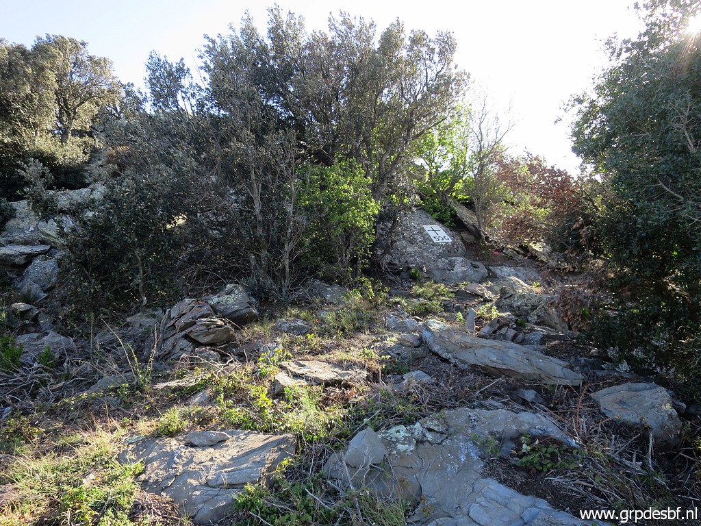 | to arrive at Coll de Taravaus with bm596. (click photo to enlarge) |
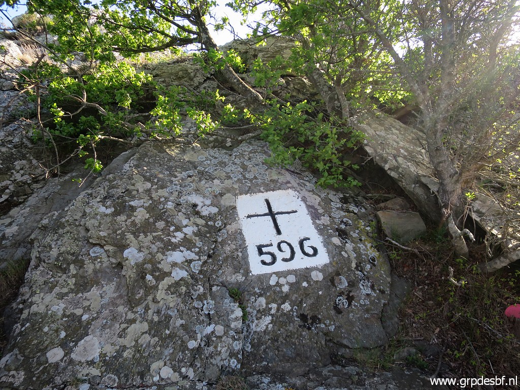 | Bm596 (click photo to enlarge) |
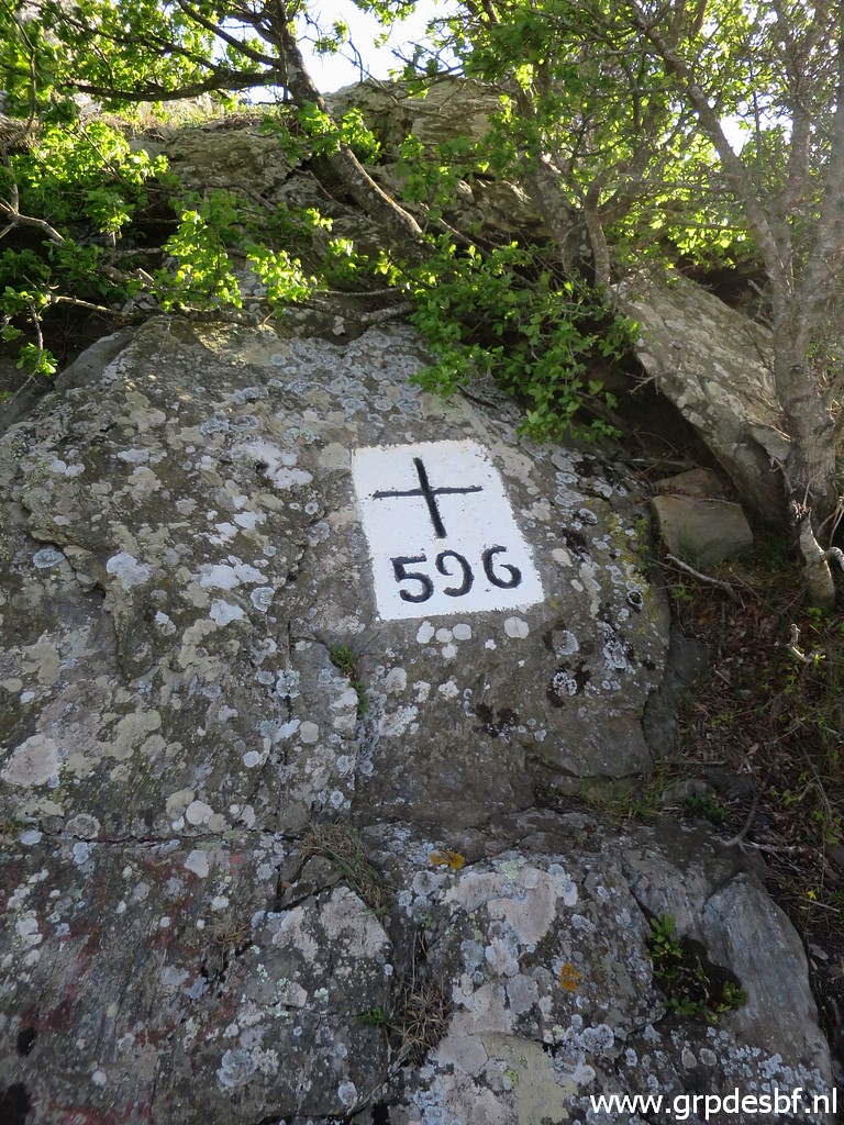 | Bm596 (click photo to enlarge) |
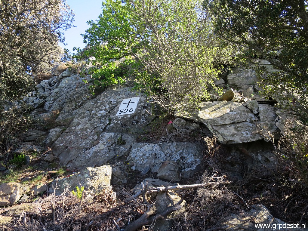 | Bm596 (click photo to enlarge) |
 | Then passing a fence and further on taking a dirtroad sharp to the right which descends (click photo to enlarge) |
 | to Font de Taravaus (click photo to enlarge) |
 | which is also dry. The wind is still very, very strong and I can't find a spot enough protected from the wind to pitch my tent. I try one pitch but the wind is simply too strong (click photo toBm596 enlarge) |
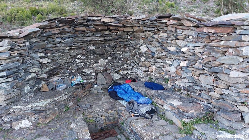 | So I end up sleeping at the source. 'En plein air' but not bad, a bit sheltered for the wind and a flat undergroud. I cook my pasta meal and at 21:00 I am in my sleeping bag. Although the wind keeps raging all night, I sleep fairly warm and well. (click photo to enlarge) |