The eastern tripoint of Andorra
In 2001 I visited the Portella Blanca, the mountain pass on the
spot of the eastern tripoint of Andorra. In july 2004 I made new photos
of this tripoint. On this page an account.
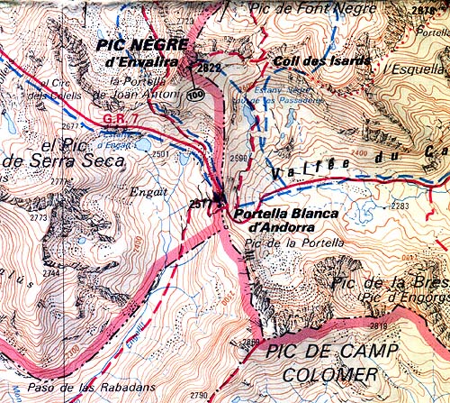
A
map of the area. Notice the Pic de la Portella and the Pic de Camp
Colomer. Some pictures were taken from these mountain peaks.
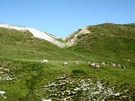
I approached the pass from the east. The chalkish hillsides give an explanation of the name Portella Blanca (the white pass).
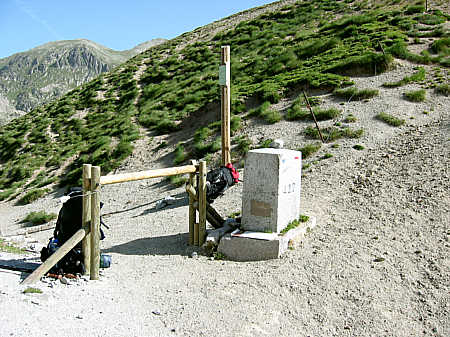
At the pass there's a ESFR-bordermarker, nr. 427.
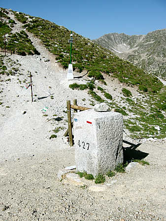
The bordermarker, more in detail
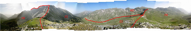
This 360 degrees panorama was taken from Pic de la Portella. The ADES-borderline is approximately.
Click HERE for the large version.
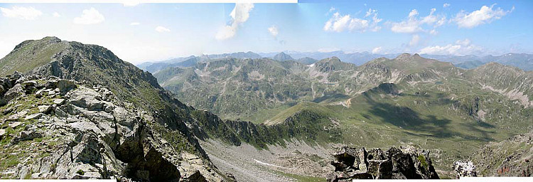
This
picture was taken from the mountain ridge south-east to the tripoint.
On this clear sunny day there was a tremendous view of the mountains of
Andorra. To the left we see the Pic de Camp Colomer and from there the
ridge (which is the ESFR-border) descending to the Portella Blanca
which is clearly visible.
|