The western tripoint of Andorra
In 2001 I didn't succeed in climbing the Pic de Medecourbe, the
western tripoint of Andorra. In july 2004 I tried again, this time
successfully. On this page a photo-account.
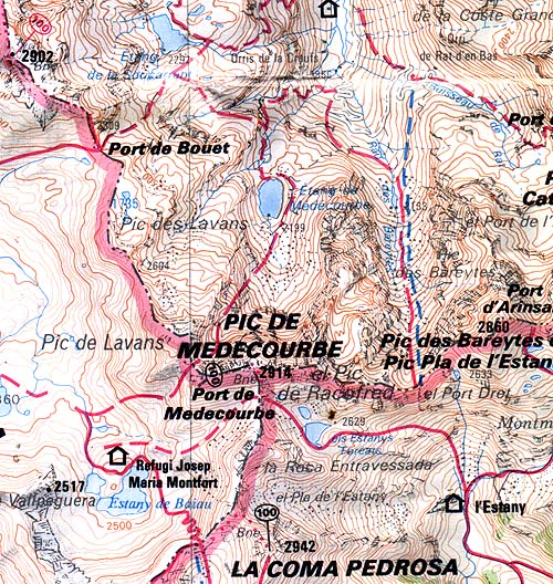
A
map of the area. Notice the small lake to the south-east of the
tripoint and the cabin-sign at the top of the map. Some pictures were
made from these spots.
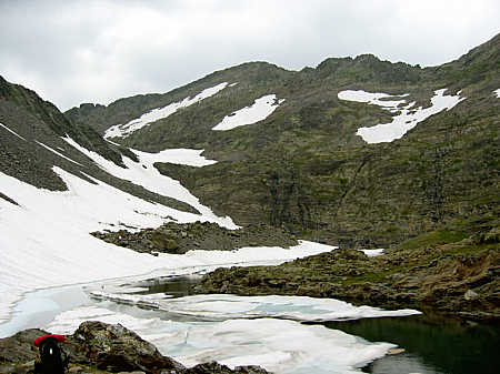
My starting point, the small lake of Estany-foreats. There's a gently
curved mountain ridge in the background, the top of the ridge is the
Pic de Medecourbe.
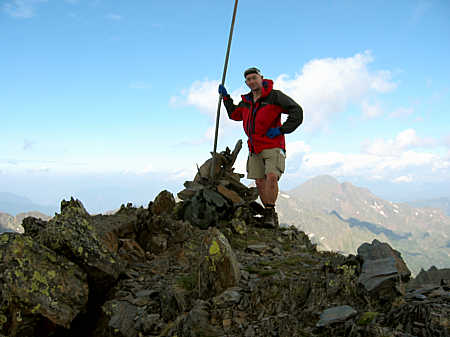
Your tripoint-surveyor proudly at the summit. Climbing the Pic wasn't
so easy. It required some rock-climbing and finding out by trial where
to ascend. Not particularly dangerous if you're careful. The best way -
I think - is getting to the pass Port de Medecourbe, then ascending the
opposite hill and establish the top of the curved ridge of Pic de
Medecourbe (the metal pole is visible). Then you know where to ascend.
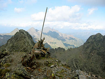
There's was a metal pole stuck in a pile of stones. Although this was
clearly the top of the mountain ridge and the map indicates some
bordermarker at the spot, this doesn't seem to be very official.
Anyway, this is not one of the 602 ESFR-bordermarkers. Nr. 426 is at
the Port de Bouet to the north (see map above) and nr. 427 is at the
eastern tripoint.
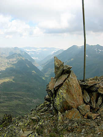
Another picture of the assumed bordermarker.

This 360 degrees-panorama photo was taken from the Pic. The views were breathtaking.
Click HERE for the large version.
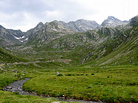
One
day later I was in the valley to the North. We look back at the Pic de
Medecourbe, again well recognizeable by his gentle curve.
|