The bordermarkers of the Pyrenees : all my trips | |
| - 20 july
2004 - |
 |
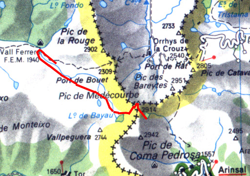 |
Trip-summary Part of a 8-days hike around the two tripoints of Andorra and neighbouring bordermarkers. Starting in Arinsal and finishing in Puigcerda with in between public transport from Auzat to Porte Puymorens. On this day I crossed the Port the Medecourbe, climbed the Pic de Medecourbe, the western tripoint of Andorra. I finished at Pla de Boet to bivouac. I was here before on 17 august 2001 on my first attempt to clim the Pic. Walking: 7 hours. Ascending: ± 300 meters. Descending: ± 1100 meters. |
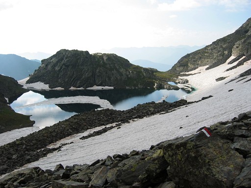 |
Els Estanys Foreats Looking back at the lake from above, from the pass . I started at 08.30am. Carefully ascending on the snowfields, making use of rocky parts if possible. Last part was sort of rock climbing. |
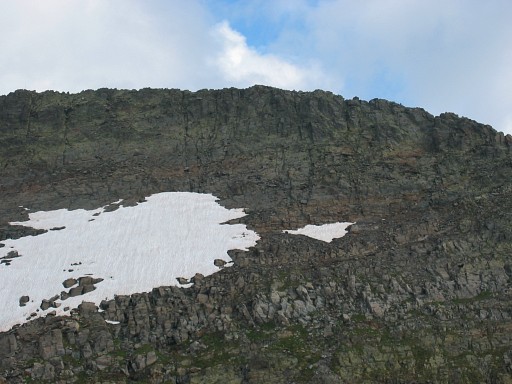 |
And
here I'm at the pass itself, looking at the northern side of it. The Pic de Medecourbe is the highest point of this gently curved mountain ridge. I left my backpack at the pass. At first I climbed too far to the east (at the right of the picture) to the ridge. On the ridge in the direction of the presumed tripoint I came across a deep gap. By traversing underneath I could pick up the ridge a bit further. The ridge gets more wider then. |
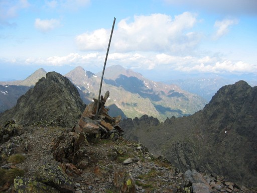 |
And finally further to the west, there is the ADESFRW-tripoint! An iron pole should be the evidence. Though the French topo-map shows a "borne" (a marker), this doesn't appear very official. And indeed, it isn't one of the 602 bordermarkers mentioned in the 'Procès-verbal' . The border between France and Andorra has never been officially demarcated. See the special pages on The tripoints of Andorra |
 | And the ultimate proof that is was really me who conquered the Pic de Médecourbe. |
 Click here to open a larger picture. | The views all around were overwhelming. This is a 360 degrees panorama from the Pic de Medecourbe. |
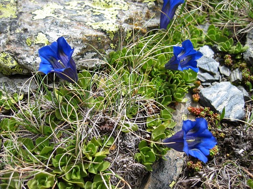 | Descending back to the pass. The whole trip from cabin to the tripoint to the pass, took me 3 hours. And then followed a long, long descent to Vall Ferrera. And there's more to life then bordermarkers, for example these beautiful wild flowers |
 | Pla de Bouet A perfect camping spot, end of a victorious day. |
 previous
trip next
trip previous
trip next
trip  | |
