The bordermarkers of the Pyrenees : all my trips | |
| - 25 july
2004 - |
 |
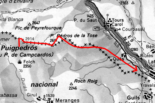 |
Trip-summary Part of a 8-days hike around the two tripoints of Andorra and neighbouring bordermarkers. Starting in Arinsal and finishing in Puigcerda with in between public transport from Auzat to Porte Puymorens. On this day I climb the Puigpedrós and descend on the high plains of Campcardos. I get desoriented by lack of the expected bordermarkers. Weather: splendid: sun, blue skies, fierce wind in the evening like yesterday. Walking: 9 hours. Ascending: ± 400 meters. Descending: ± 1350 meters. |
 |
Cold morning because of a chilly wind. First I climb back to bm428. By the way: from this Portella Blanca de Meranges, there's a steep path descending into France. |
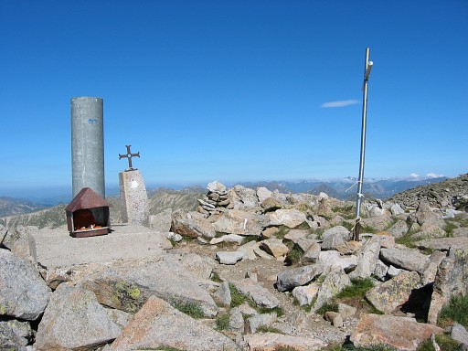 |
Then a tough climb to the popular summit of Puig Pedrós ou de Campardos (2905m) |
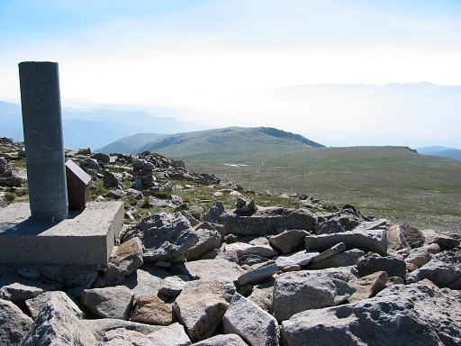 |
Looking from Puig Pedrós to the plains (Planella) of Campcardos. I have to cross it in a straight line (which is the borderline) to Puig Pedros de la Tosa. |
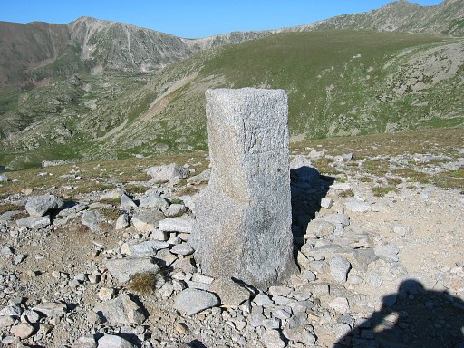
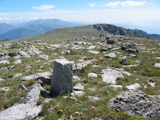 | On the plains, I can't find a bm429. There are however a few stones like this one with an unreadable inscription. I thought that this one was bm430 because it was located at the assumed spot of it. But apparently they are all municipal borderstones. But bm431 is unfindable. I can locate Roc Colom (I think) but don't find bm432 on it. And then things go wrong: no trace of bm433-435 and I can't match map & landscape anymore. I continue in the assumed borderline-direction, stumble upon a stone like this one on which I think to see nr.436. |
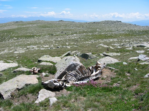 | Also: frightened by a sudden fall by stumbling over a rock. I hurt my knee and right hand and realize that getting wounded on this deserted plain can be dangerous. |
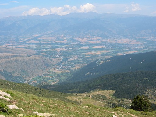 | I start to search a way downwards. Finally I find a country road which descends steeply. It leads me to |
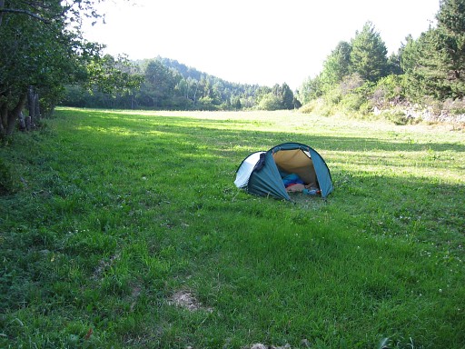 | this camping spot, not far away of Latour de Carol. I'm a bit disappointed, expected the bordermarkers to be more easy to find. Therefore, less enjoyed the views on the high plain. |
 previous
trip next
trip previous
trip next
trip  | |
