The bordermarkers of the Pyrenees : all my trips  | |
| -
25 april
2006 - |
 |
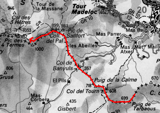 |
Trip-summary Part of a five-day trip from the Mediterranean sea to Le Perthus and a bit further. Day 2: from close to bm596 to Font de la Maçana (close to bm587) Walking: 8 hours Climbing: ± 700 meters Descending: ± 250 meters |
 |
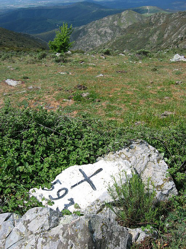
bm596 A bit hidden between the bush. From the fountain (Font de Taravaus) - where I filled my bottles - I took a path uphill to a pass. At that pass at the north-side, this bordercross. |
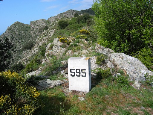 |
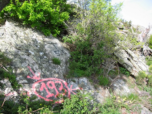
bm595 stone There's an old - but intact - cross and this recent borderstone. Strange |
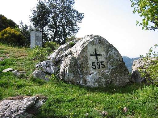 |
bm595 both markers |
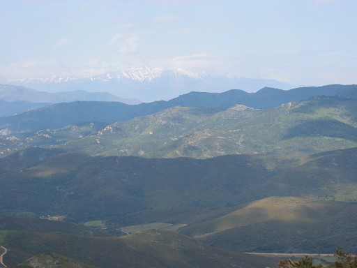 |
A view ahead, to the snowcapped Canigan-mountain |
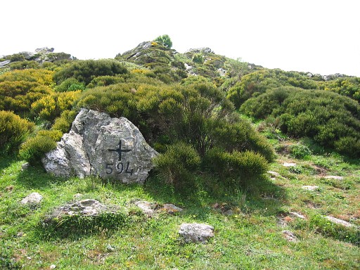 |
Bm594 Not easy to find, at first I walked too far. On the IGN-map there were two "Coll de (l) Teixo" indicated but it's the western where bm594 is. At that col, there's a pole with trail-indicators. The bm is SE of the col. |
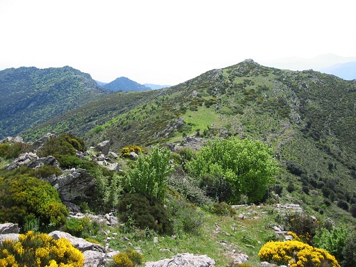 |
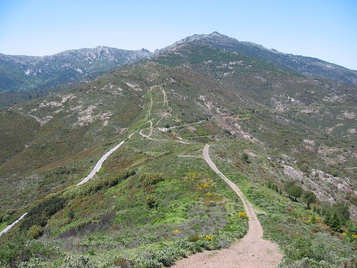
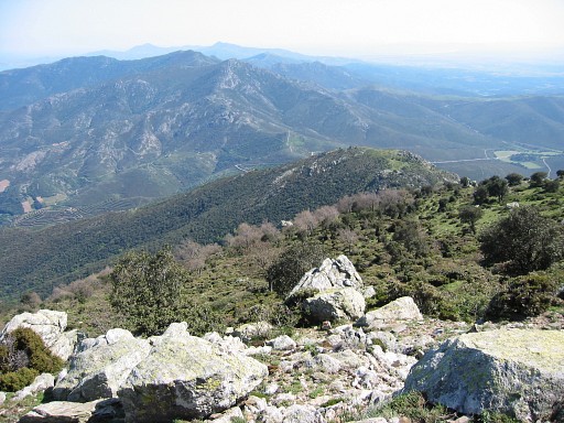
A view of the borderridge. |
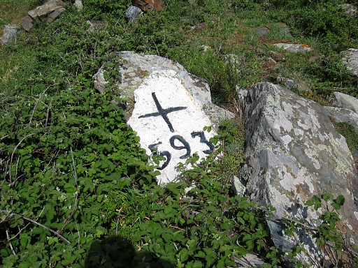 |
Bm593 close-up |
 |
Bm593 |
 |
Approaching the Col de Banyuls |
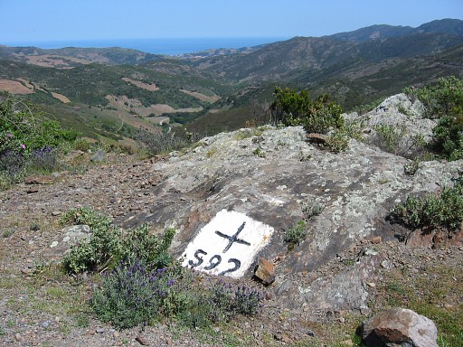 |
Bm592 |
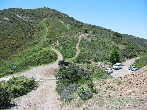 |
g591 from distance |
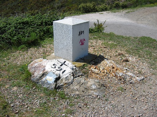 |
Bm 591both markers Same as bm595: an intact cross and a recent stone. Then - at the other side of the pass - starting with the climb to Pic de Sallfort. |
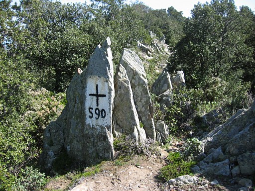 | With in between bm590 |
 | Bm590 from distance |
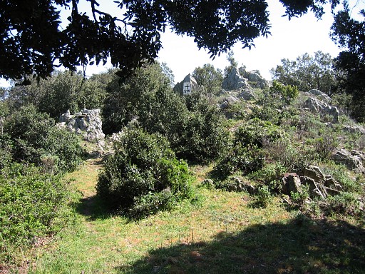
 | And - higher up - looking back (I think). I didn't search for bm589, apparently because I already had a picture of it (from 2003). |
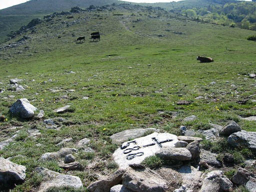 | Bm588 |
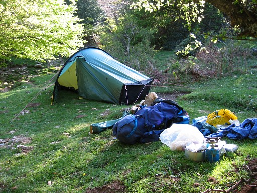 | And camping near the fountain of Font de la Maçana It's a bit beyond bm587 which I also skipped (done in 2003). |