The bordermarkers of the Pyrenees : all my trips | |
| - 20 april
2007 - Scratched arms & legs  previous
trip next
trip previous
trip next
trip 
|
 |
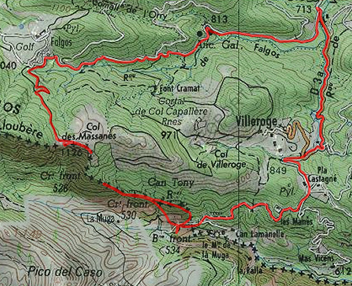 |
Trip-summary. Part of a 6 day's trip with Jan-Willem, exploring the bordermarkers around Coustouges and Lamanère: bm521-541. Day 3: after an early trip, making a large loop from Hostal de la Muga to Col de Massanes, finding there bm525 and bm524. |
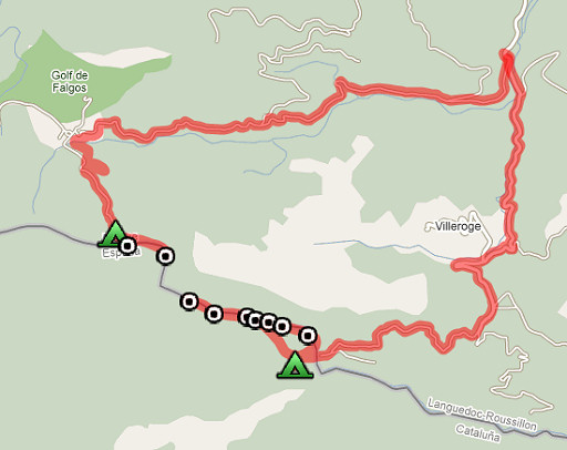 |
esfr-trip-track-20070420.kml (opens in Google Earth) |
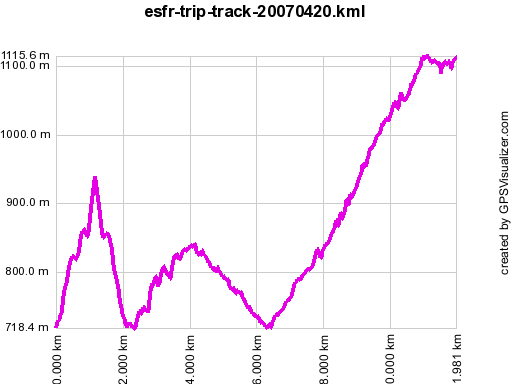 |
Gpx-view.com Distance : 11.971 km Altitudes : Maxi 1116 m Mini 718 m Denivellation: ~ +609 m -266 m cumulative 875 m |
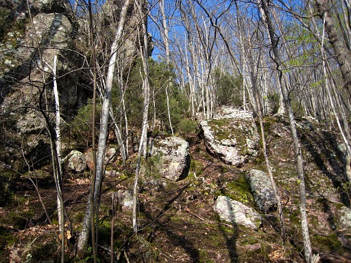 |
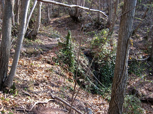
In the early morning I make a solo-trip uphill. I try to find bm529-528-527 but can't find any of them, despite my pda-gps and the directions from the Procès-Verbal. This picture: from the probable spot of bm527 at the end of a rocky ridge. |
 |
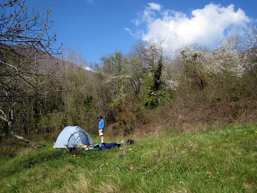
Idem from the likely spot of bm528, close to a stream. |
 |
After 3 hours I'm back at the tent where Jan-Willem is waiting. I couldn't find the same trail back. We pack our tent and leave 12.30. In 4 hours we'll walk to Col des Massanes. |
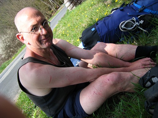 |
My arms and legs are scratced
after all that wrestling through the bush. We are on our way to Falgo Golf |
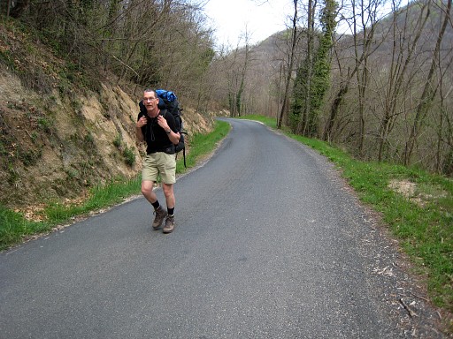 |
via Villeroje and the road to St. Laurent. From (close to the entrance of) Golf Falgo we pick up the Tour de Vallespir-trail untill close to the Collada dels Maceners or Col de Massanes. That's where we pitch our tent. |
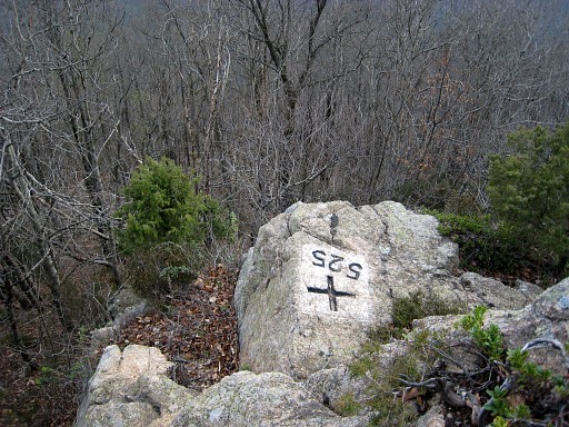 |
Through sticky bush I reach bm525 at the end of a ridge. MIOM N42 21 23.3 E2 35 17.9 |
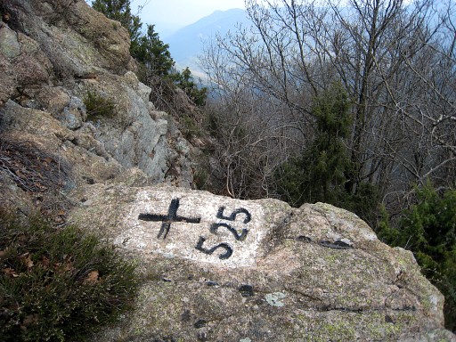 |
Bm525 |
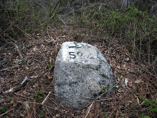 |
Through even more sticky bush I find bm524 which is situated on a sort of pass. MIOM N42 21 25.6 E2 35 06.4 |
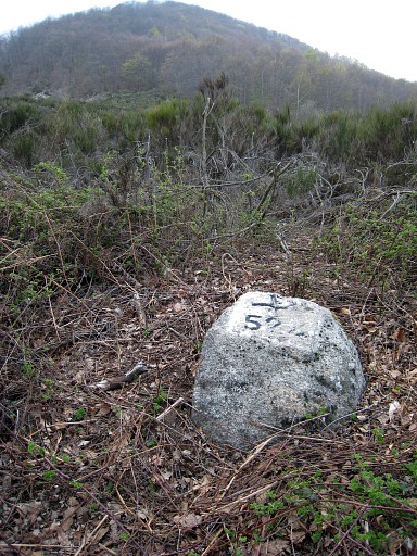 |
Bm424 |
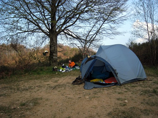 |
And then a bit of relaxing and writing my logbook. |
 previous
trip next
trip previous
trip next
trip 
| |
