|
The
bordermarkers of the Pyrenees : all my trips
|
|
| -
6 april
2008 - Down by the river ....  previous
trip next
trip previous
trip next
trip 
|
 |
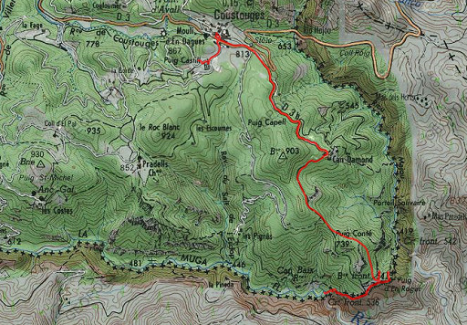 |
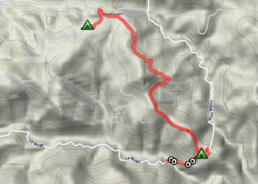
esfr-trip-track-20080406.kml (click to open in Google Earth or copy link to Google Maps) Part of a 8-days backpacking-trip in the eastern Pyrenees with Jan-Willem, roughly covering the area bm528 - bm575 and bm600 - 601bis. Day 4: doing bm540 to bm537, unable to find bm536 down below. Finishing in Coustouges |
 |
For explanation of
the gps-coordinates and other cartographic backgrounds: see my cartography page |
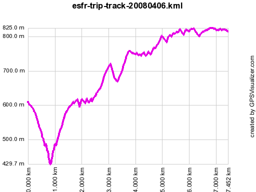 |
According to gpx-view Distance : 7.443 km Altitudes : Maxi 825m Mini 430m Dénivelées : +364 m -265 m En route ± 9½ uur incl. breaks, According to m watch: ↑755m ↓542m ↑↓1297m Hmax 853m Lmin 410m |
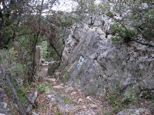 |
We start at 8.56, are back at bm540 (break) at 12.45 after a descent to bm536. First we arrive at bm540. We hide our backpacks in the forest and climb to the rockridge (it's easier to get over the fence besides bm540 and directly climb the ridge here). |
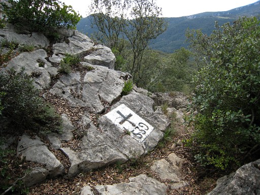 |
Along the ridge we soon find bm539. |
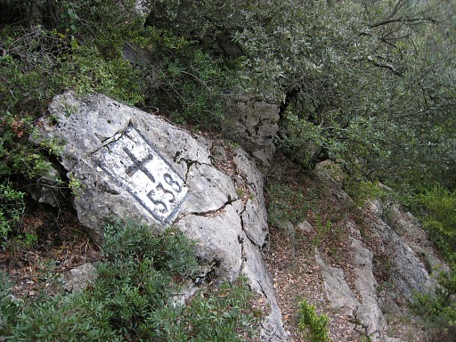 |
and further on bm538 |
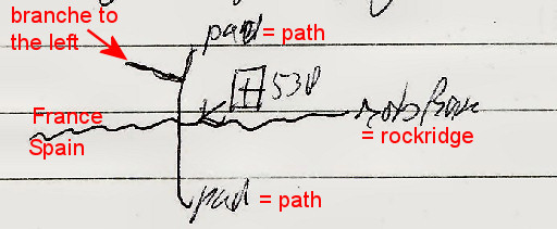 |
At this point, we can't continue on
the ridge. But a few meters N on the path (which crosses the border at
bm538), there's a branch to the left. |
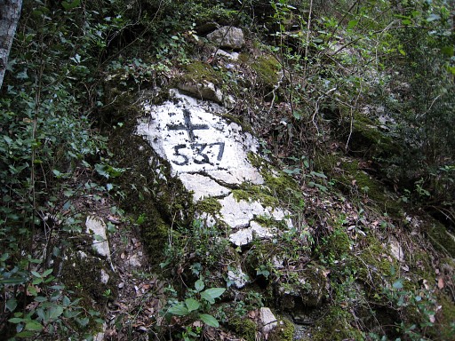 |
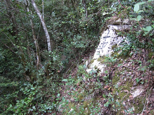
That branche brings us to the dry bed of a stream. We descend along the bed until a path crosses the (dry) stream. The descent in the bed gets too steep now. We make a curved detour at the left side of the stream and return at the bed at a lower altitude. Doing so we find some small tracks which brings us to bm537. |
 |
From there we descend further in the bed of the stream until its confluence with the Muga which is also dry at this spot. |
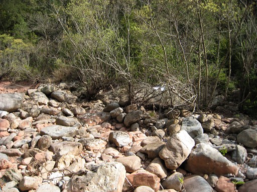 |
But we can't find bm536, despite a long search. Laridon doesn't provide useful clues. |
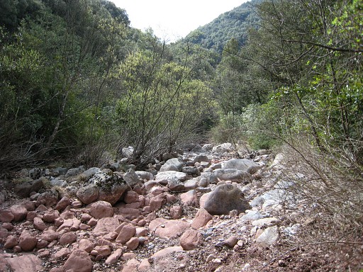 |
A view of the (dry) bed of the Muga. So somewhere between Hostal de la Muga and here the river runs dry. We climb back to bm540 along the same route. |
| After
the break, 13.45, we return to P6 for a new search for an access to
bm542. I retry the two routes of yesterday, in both cases again getting
stuck in the bush. On the descent from P6, I see suddenly to the E -
about 50m - a large boulder. That's where the real stream-bed seems,
going down. We return to Can d'Amunt along a grey waymarked trail along the P-posts we also passed yesterday. At P3 ("poste limonade") there's a distinct path descending that however fades away in the forest. But here the forest is more open, not with the bush-like undergrowth as near P6. Perhaps that provides an access to bm542. Further on - beyond the bifork to bm540 and bm541 - there's another distinct path (is on the map) which descends NNW but that seems (on the map) to stop at a stream. But perhaps that stream is an access route to bm542. Finally, you could try near Can d'Amunt a dirtroad going down but it's unclear - seen from above - where it really leads to. |
|
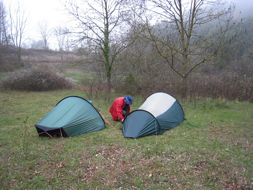 |
Via
Coustouges (a coffee in the cafe, we find out that the gîte d'etappe
can only be opened by the council office) and find this bivouac spot
behind the cemetary. |
 previous
trip next
trip previous
trip next
trip 
|
|
