|
The
bordermarkers of the Pyrenees : all my trips
 |
|
| -
7 april
2008 - Meeting again Jean Iglesias & escaping death |
 |
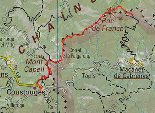 |
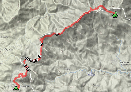
esfr-trip-track-20080403.kml (click to open in Google Earth or copy link to Google Maps) Part of a 8-days backpacking-trip in the eastern Pyrenees with Jan-Willem, roughly covering the area bm528 - bm575 and bm600 - 601bis. Day 5: an unexpected meeting with Jean Iglesias. From Coustouges along the borderline (bm543 - bm553) to Refuge de Salines. At night: allmost a CO-intoxication. Weather: cloudy, cold |
 |
For explanation of
the gps-coordinates and other cartographic backgrounds: see my cartography page |
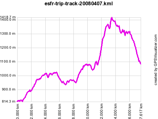 |
According to gpx-view Distance : 17.593 km Altitudes : Maxi 1419 m Mini 814 m Dénivelées : +687 m -531 m En route 8.45-18 According to my watch: 1165m↑ 858m↓ Hmax 1440m Lmin 815m |
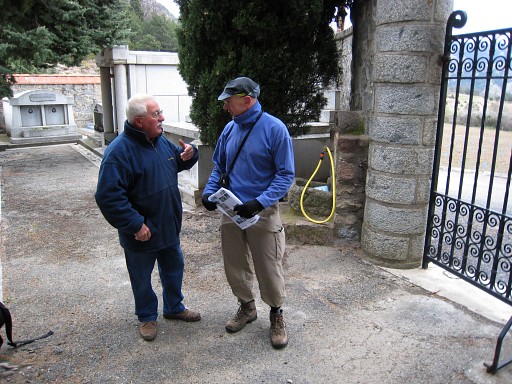 |
We leave at 8.45 but at the cemetary - where we fill our waterbottles - we meet an old man, walking his dog. We chat and tell about our project. He knows surprisingly much about the bordermarkers and then there's the click. Isn't this the man we met last year near Hostal de la Muga? And who bears the name of Jean Iglesias (having learend that from Alain Laridon)? He is surprised that we know his name and then remembers our meeting last year on 20070419. He is sun-tanned and looks still vital. |
| And he gives additional information on bordermarkers: bm536: hidden under the mud/silt of the river. There are two white arrows pointing to that spot. We remember having seen those arrows on a large rock where the stream-bed coming from bm537 merges with the Muga. bm542: from our bivouac spot at P6, you have to descend to a boulder, go left of it and descend further in the bed of (dry) stream. I remember having seen that boulder. Bm542 consists of 2 crosses, he tells. Each year there's an inspection of (a part of) the bordermarkers by the municipality of Albanya (Spain) and 3 of 4 adjacent French municipalities. They finish with a dinner in Coustouges. A state-official from Barcelona takes pictures. |
|
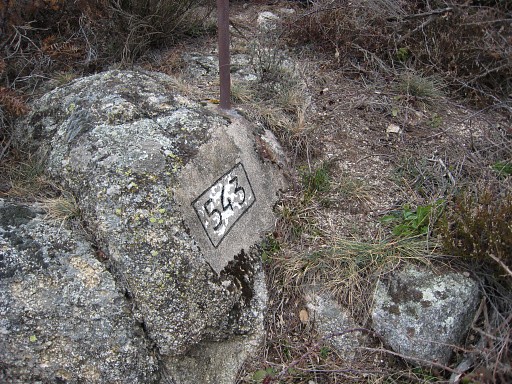 |
After this encounter with Iglesias, we leave at 9.45 in the direction of bm545. Having arrived there on a dirtroad, we have to go back a while on the ridge to get to bm543, a bit difficult to find, a metal pole besides it. |
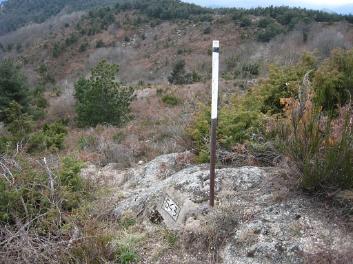 |
Bm543, the metal pole besides it is a marker of the marker. |
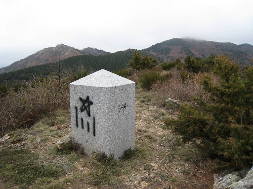 |
and bm544 |
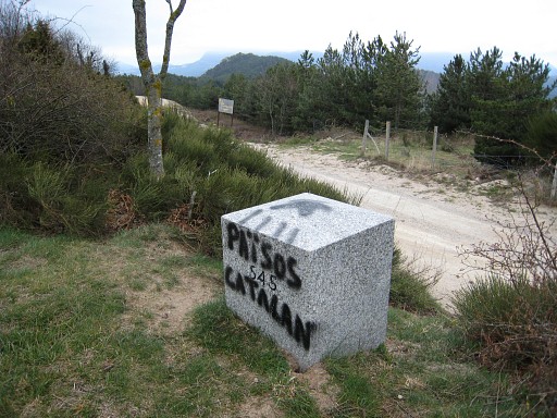 |
Back to bm545 |
 |
Bm545, with Jan-Willem |
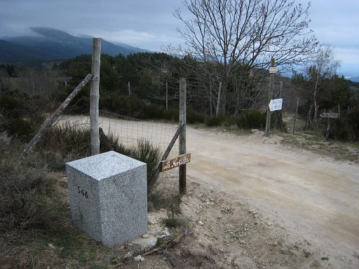 |
Further on - after the crossing of the dirtroad of Spanish territory - we arrive at bm546 At this point, we go to the right. |
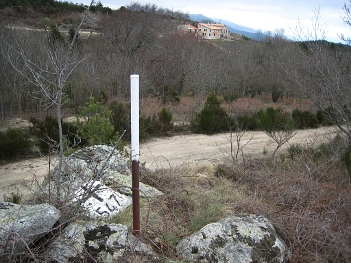 |
Bm547, on a small hill S of the dirtroad, amidst blackberry, with a iron pole besides it. The pole is visible from the road. |
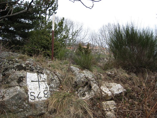 |
Bm548, to the N of the dirtroad, again with a pole besides. The pole is visible from the road. |
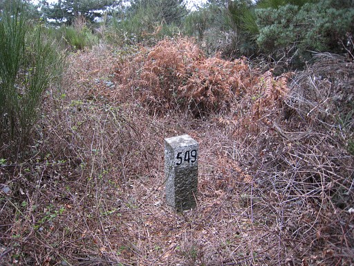 |
Bm549, an atypical bm, located at a
forested hill, amidst blackberry. Best accessed from the N from the
main dirtroad, not via its branch to the S. |
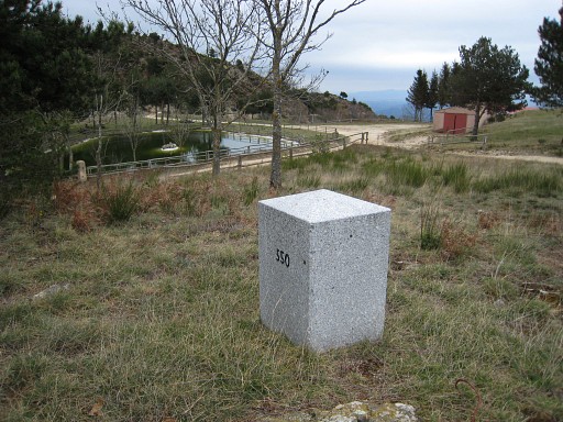 |
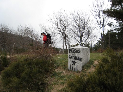
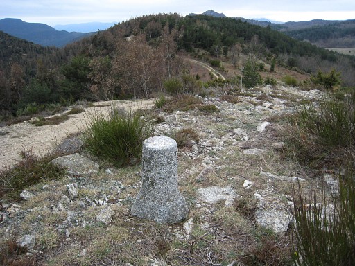
Bm550, again a 'fat' granite one, close to a closed restaurant. Beyond bm550 there's a 'borderpath' between two fences like a sort of no man's land. |
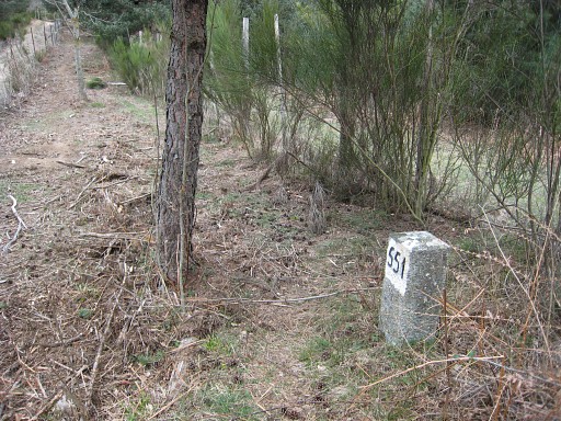 |
Bm551, a small bm like bm549 |
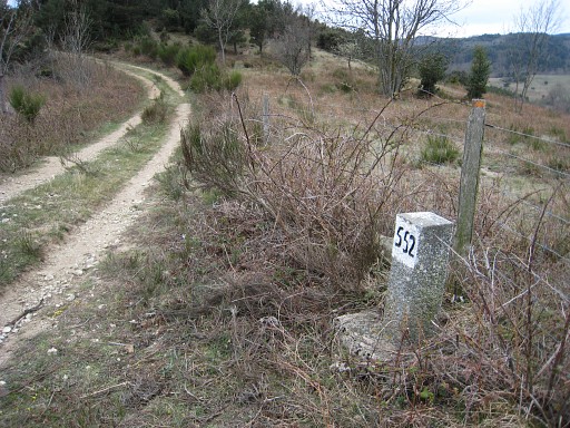 |
Bm552, idem |
 |
An unknown marker. |
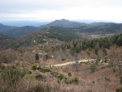 |
We
keep following the dirtroad which first winds left and right of the
borderline, then enters Spain and goes (orange waymarked) to bm553. This picture: a view back on the winding dirtroad which further on - on the hillridge - follows the borderline. |
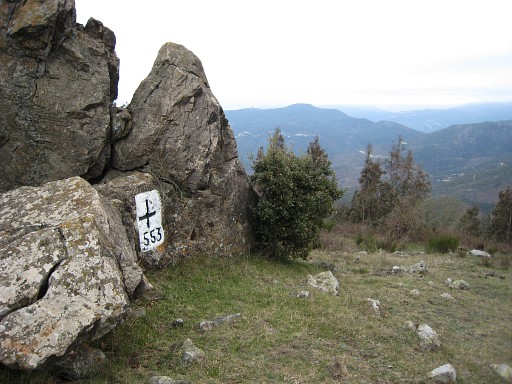 |
Bm553 |
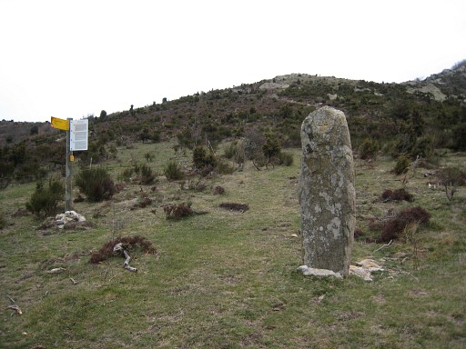 |
From bm553, we follow the -variously waymarked - path over the borderridge which later on connects with the GR10-trail. In between this "Menhir de la Dona Morta" The clouds are hanging low, so there's not much to see. Also cold, ±3 °C. We saw hoar frost on tree-branches. |
 |
Finally we descend to Refuge de Salines. We manage - with difficulty - to get a fire burning in the hearth. Smoke has filled at one moment the refuge but later on it seems burning well and we relax. But when we both get a headache, we realize we're on the verge of a carbon monoxide intoxication. Frightened, we quickly open door and windows and put out the fire. |