|
The
bordermarkers of the Pyrenees : all my trips
 |
|
| -
9 april
2009 - Saying goodbye to La Rhûne |
 |
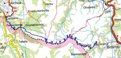 |
esfr-trip-track-20090409.kml (click to open in Google Earth or copy link to Google Maps; click right on this link to download gpx-version) A long trip from Dantxaria to Bidarray. Fine views from the hills towards the ocean on one side and the snow-capped mountains on the other side. Sunny and a strong wind. |
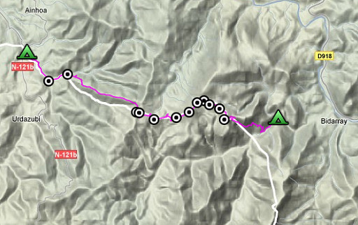 |
For explanation of
the gps-coordinates and other cartographic backgrounds: see my cartography page Duration: 8.32 hours (9.30-18.00) Elevation (watch): 1330m up, 1231m down, 2561m in total |
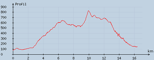 |
According
to visugpx - distance : 16.68 km - cum. elevation gain : 1010 m - cum. elevation loss : 946 m - total elevation: 1956 m - altitude maxi : 829 m - altitude mini : 77 m - altitude average : 414 m |
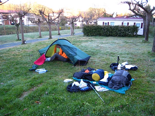 |
Starting
at 9.30 am after a cold & damp night. We follow the yellow waymarked path/road behind the camping eastwards. |
 |
bm073 Position: a little bit to the north of a bridge leading to a farm. |
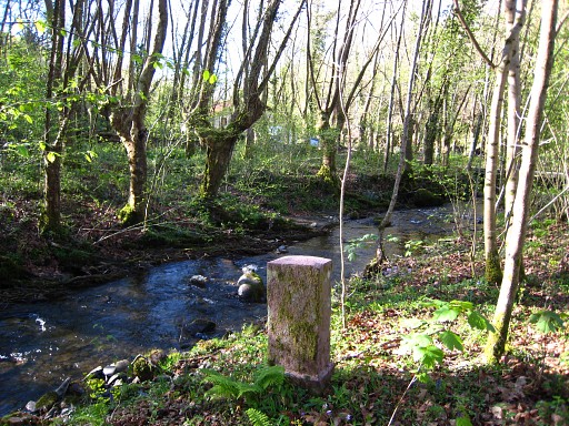 |
And along this stream. |
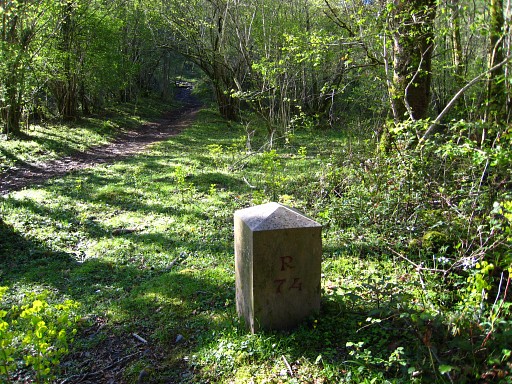 |
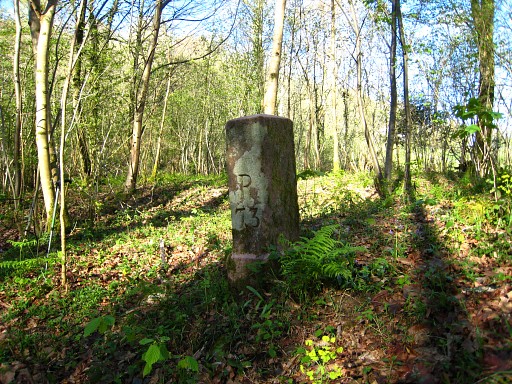
bm074 We have left the tarmac road entering the forest, still following the yellow waymarks. |
 |
bm074,
looking backwards to the road |
 |
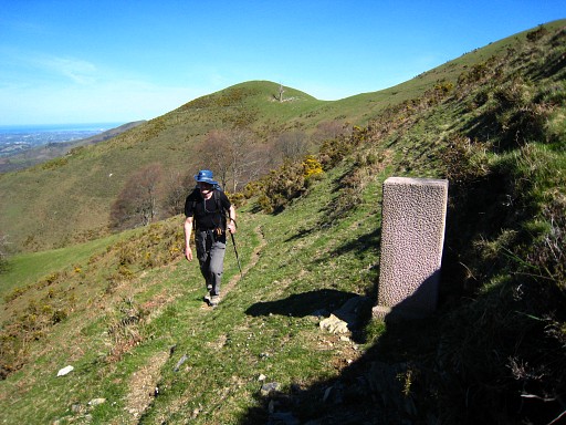
We
leave the 'yellow' path at the edge of the forest where a
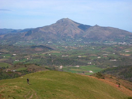
track starts uphill (sse) to the Gorispil-hilltop. It's a long climb against the strong wind. Looking back we still can see La Rhûne. |
 |
We take the path
underneath the Gorospil-summit which bends to to
the right to a pass. Just before the pass: bm075 |
 |
Bm075, looking back
whith Jan-Willem arriving at the scene. In the backgroung the Gorospil-top. |
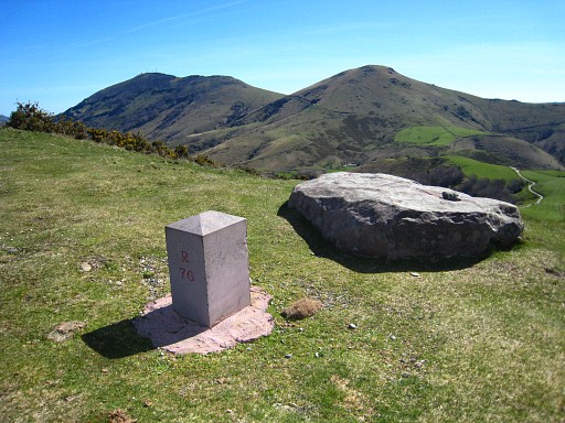 |
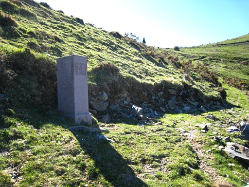
On the pass itself:
bm076 |
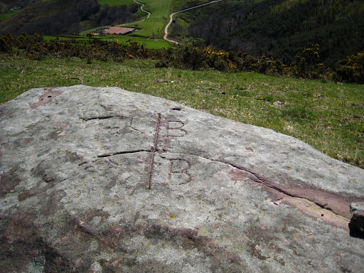 |
On the rock nearby there's this bordercross marking the tripoint of 3 municipalities. It's mentioned in the 'Procès-verbal'. |
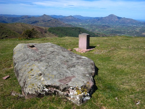 |
Both markers. |
 |
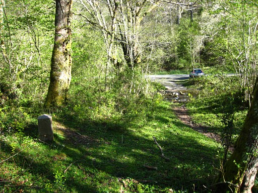
Descending along
the tarmac road, joining the GR10-trail and passing a farm,
we soon reach bm077 |
 |
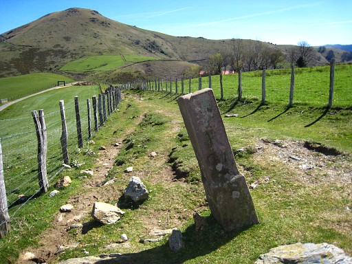
The GR10-trail
follows the road which passes the next hilltop on the left side. I leave the GR10 and climb on a corridor between two fences to bm078 The climb to the hilltop with bm079 is steep, there's no path. |
 |
Bm078, looking
back. Note the 'corridor' between the fences. |
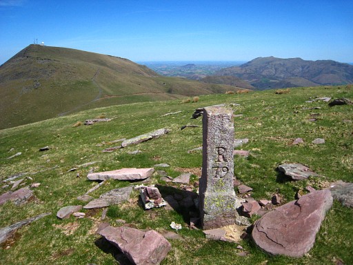 |
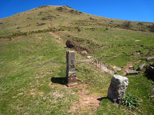
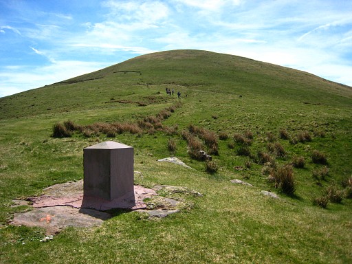
bm079, on the
summit. |
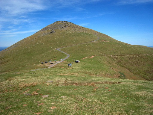 |
Jan-Willem followed
the GR10-trail and is waiting at this pass, |
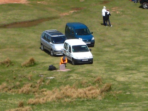 |
besides bm080. |
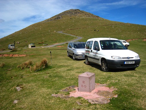 |
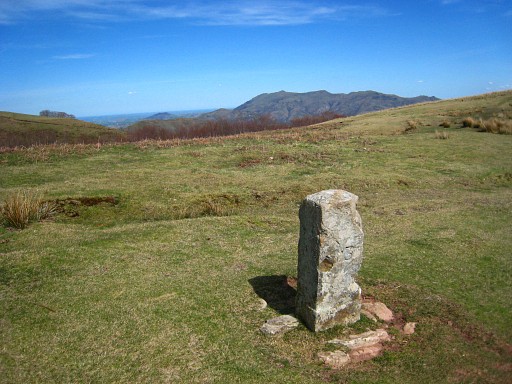
Bm080, On this pass there were splendid views of the ocean, la Rhûne and the snowcapped mountains to the east. Last view of la Rhûne. |
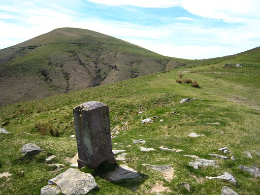
 |
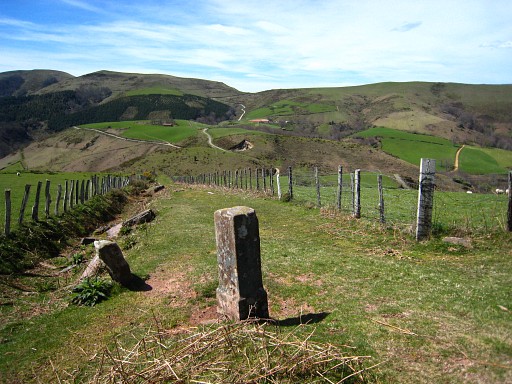
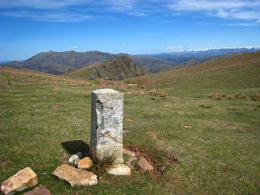
Bm080, looking
back. The hilltop with bm079 is less steep on this side. |
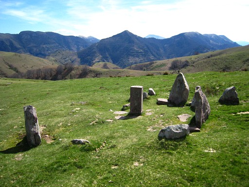 |
Continuing on the
GR10-trail. bm081, a bit to the north of the trail, surrounded by 5 stones. |
 |
Bm081 |
 |
Bm082, the first of
a fewe bordermarkers which are numbered on both sides (Perhaps also bm081, we can't remember). |
 |
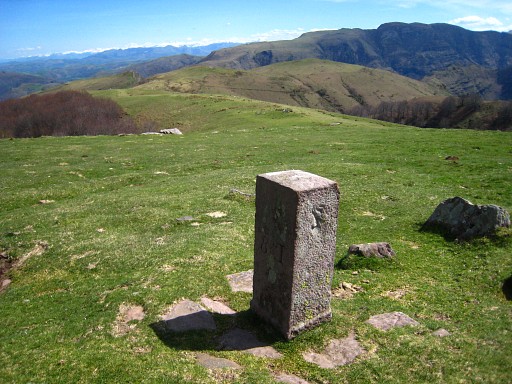
Bm083 |
 |
Bm084, to the south
of the GR10-trail, at the beginning of a stream which descends steeply. |
|
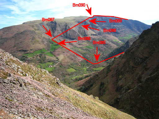
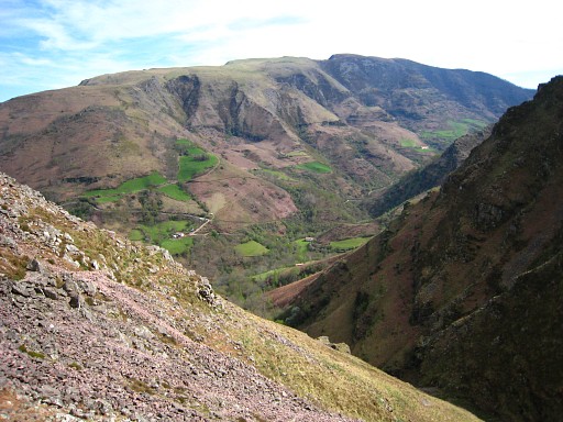
The GR10 leaves the
borderline and descends also steeply to the river-valley. On this picture we see the famous Iparla-cliffs in the distance. Move the cursor over the picture to see the approximate borderline and the next bordermarkers. |
|
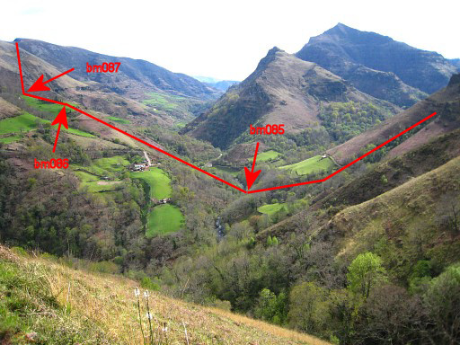
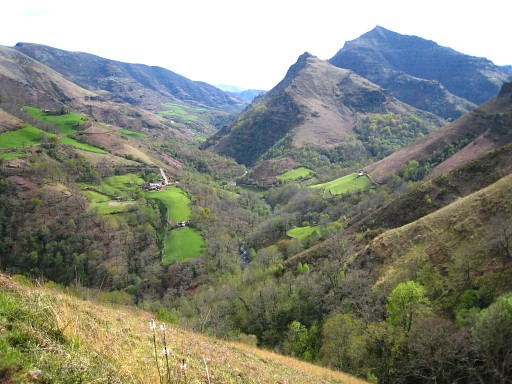
Another
view from further below Move the cursor over the picture to see the approximate borderline and the next bordermarkers. |
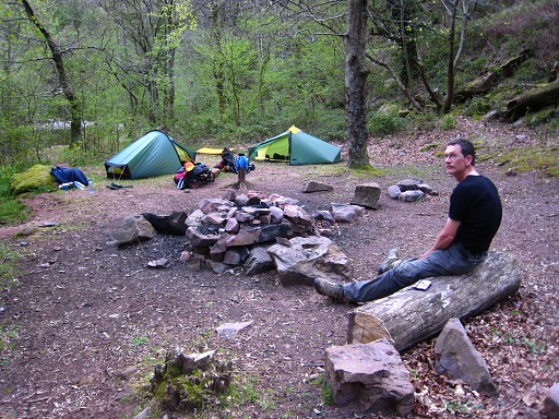 |
And along the
river, past the bridge, we found this camping-spot. (coordinates: N43 15 59.9 W1 22 31.9) |