|
The
bordermarkers of the Pyrenees : all my trips
|
|
| - 6 may
2009 - Mysterious dislocation of bm123  previous
trip next
trip previous
trip next
trip 
|
 |
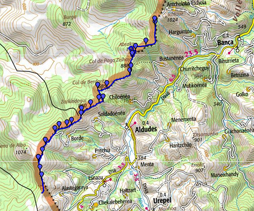 |
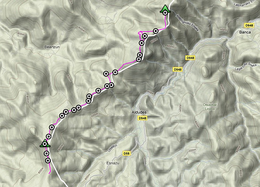
esfr-trip-track-20090506.kml (click to open in Google Earth or copy link to Google Maps; click right on this link to download gpx-version) At night an almost full moon and strong winds. Early start, splendid & warm weather. I see hardly any other people. |
 |
For explanation of
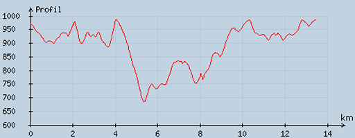
the gps-coordinates and other cartographic backgrounds: see my cartography page En route: ± 8.15 - 19 (10.38h), break ± 3/4 hours. Elevation according to my watch: up 1208m, down 1158m. in total: 2366 m. Heighest: 1030m Lowest: 699m |
 |
According
to visugpx - distance : 13.6 km - cum. elevation gain : 691 m - cum. elevation loss : 686 m - total elevation: 1377 - altitude maxi : 987 m - altitude mini : 683 m - altitude average : 886 m |
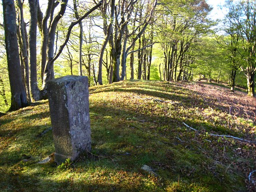 |
I
continue on the trail at the ridge. From bm109 onwards, there's again a
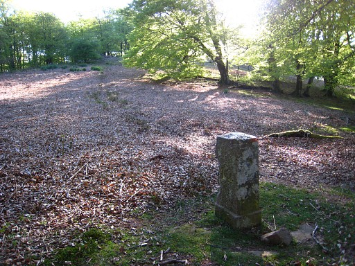
waymarking (orange) which can be used until bm114 for the GRPdesBF. Bm111 |
 |
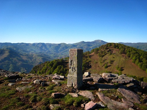
Then, after ± 1 km over the ridge: bm112 |
 |
The orange trail now leaves the
borderline, traverses through the forest and reaches the edge (left of
the trail) of an open hillside. From there I climb directly to bm113. By the way: it's not located on the summit of this hill (the Abraku) - where a cairn is - but ± 100m W of it. |
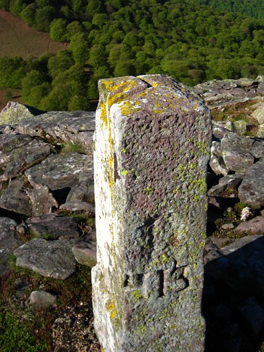 |
Bm113 with the bend in the borderline engraved on top of it. From bm113, you can see well the pass down below where bm114 should be. I descend directly towards it. But down below I see again the orange waymarking and walk it back for a gps-track. I find out that from where I left the orange trail, it continues and makes a curve to the W over a lower part of the ridge and then descends to bm114. That could become part of the main GRPdesBF-route and my shortcut via bm113 a variant. |
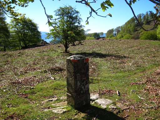 |
Bm114 |
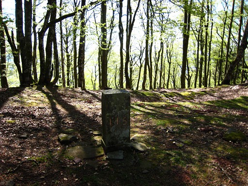 |
After bm114 it's a steep climb on a distinct path to the forest. Then furrther uphill - no path - to its summit with bm115. |
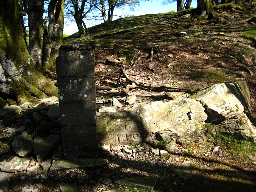 |
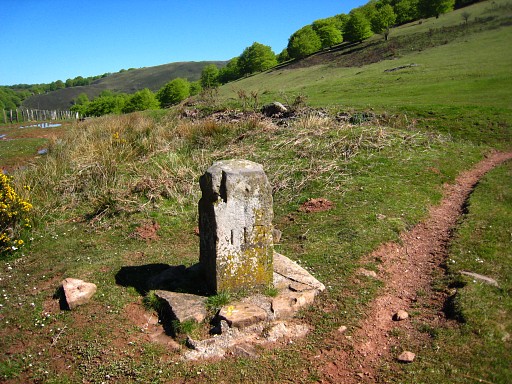
A bit further (no distinct trail or waymarking until bm117 but easy to navigate): bm116, with a cross and a concrete pillar. |
 |
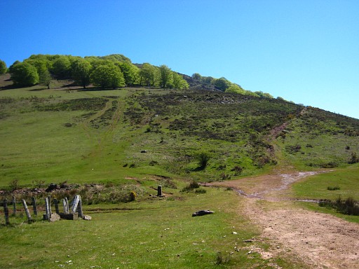
Then descending SWW and SW to bm117. From here, I can join another path (yellow waymarked) which follows more or less the borderline. |
 |
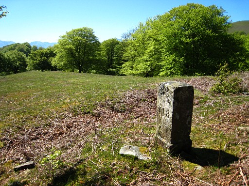
Looking back at bm117. |
 |
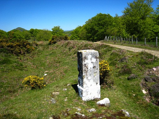
I have to leave the yellow trail for a short detour to bm118. Lunch-break nearby. |
 |
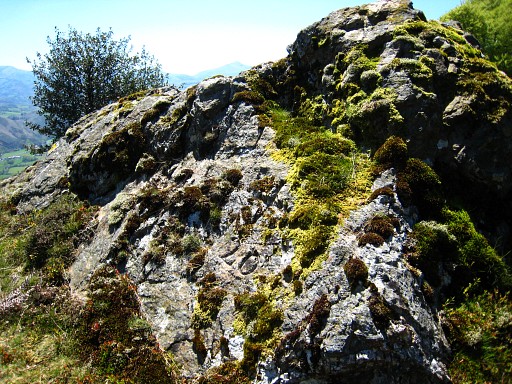
Then: bm119, the borderline makes a bend here. |
 |
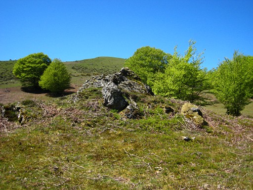
A bit further on a solitary rock bm120. |
 |
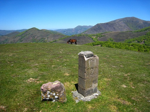
That rock with bm120 from distance. |
 |
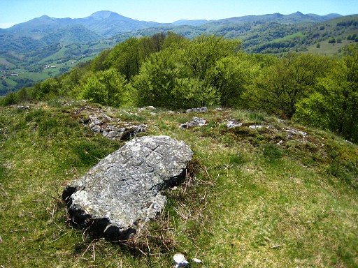
The yellow trail now leaves the borderline to traverse underneath the hilltop to reappear at bm122. I stick to the borderridge and reach bm121. |
 |
Further on the ridge, you reach a point where the descent abruptly starts, a kind of view-point. At my feet, I suddenly spot bm122. |
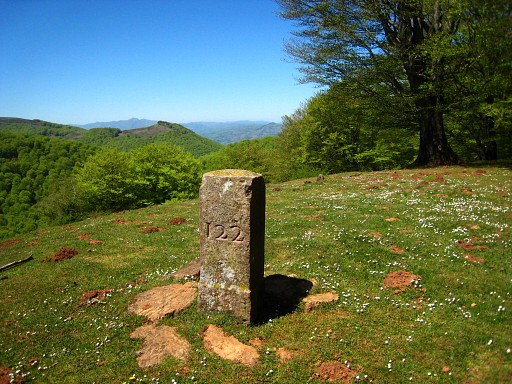 |
I have read that there must be a bm122bis marker and that one is also indicated at the map. Bm122bis |
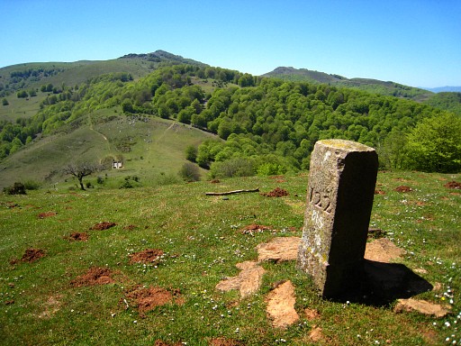 |
I didn't spot a "bis" on the marker
but I didn't look very well. In 2011 I will learn from Charles Darrieu
that the "bis" is engraved just above the second two in small
characters. See: esfr-html-markers-117-130.html This picture: we're looking forward to the pass where bm123 should be. |
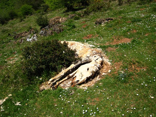 |
A bit of mementi mori |
|
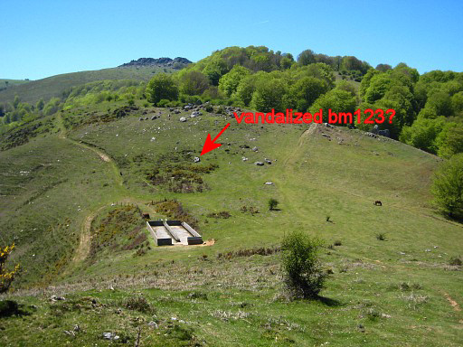
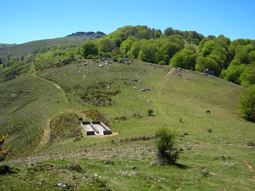
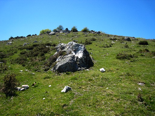
I descend to Col de Belaun where - and further on - I will search in vain for bm123 Move the cursor over the picture to see where I think bm123 is vandalized. Later on, I will learn that bm123 is further on, on top of the hill. See: esfr-html-markers-117-130.html |
|
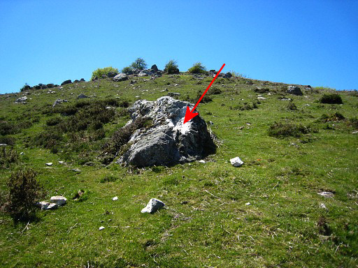
I see this rock where a part seems to be vandalized, the rockpieces lying on the ground. Move the cursor over the picture to see the damaged part. |
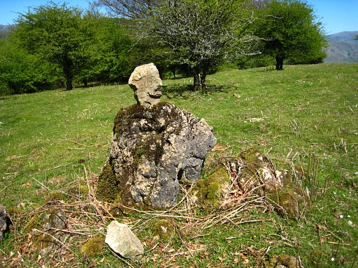 |
I continue on the ridge and discover this piece of rock on top of a rock. |
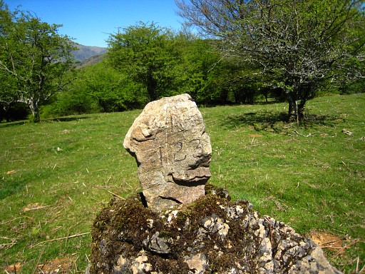 |
On that piece of rock is painted (not engraved): R 123 Strange, what to think of this? Is it a piece of that vandalized rock? From here, the borderline/borderridge isn't that distinct anymore. With help of the map, I walk along the edge of the forest and |
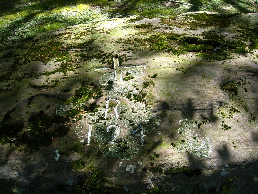 |
find on a large lying boulder: bm124 |
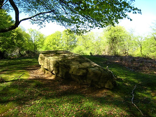 |
Bm124 |
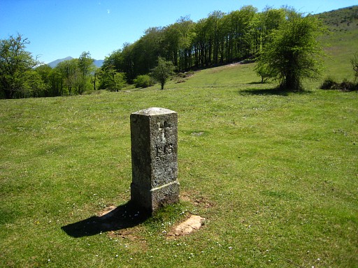 |
Then an easy descent to Col d'Eyharza with bm125. |
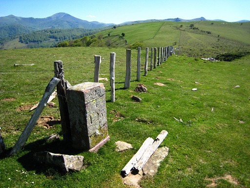 |
Then a tough climb along a rockwall to the heighest point of the rockwall/ridge where I find bm126. From here to bm130 this fence indicates the borderline. |
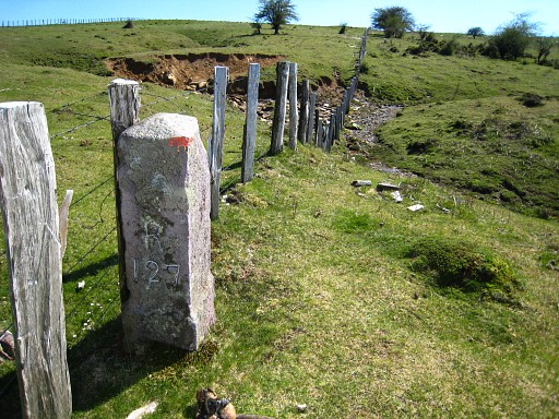 |
Further on: bm127 |
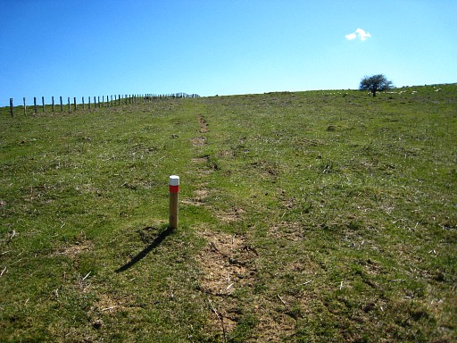 | There are waymarks, also these red/white, but you might as well just follow the fence. |
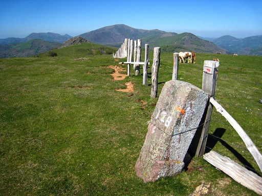 |
Bm128 |
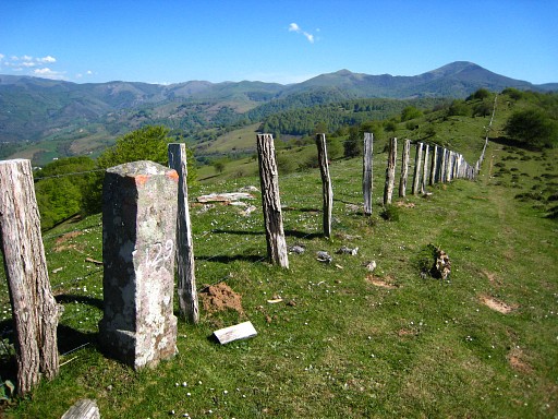 |
Bm129 |
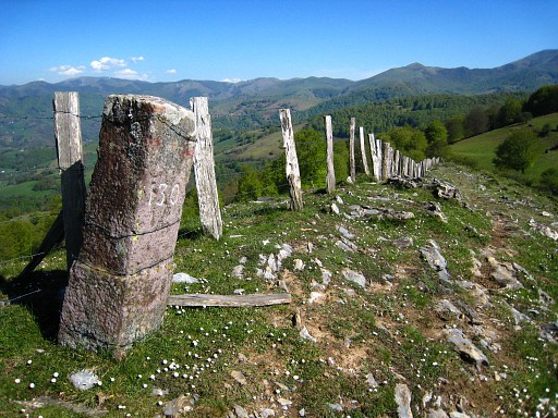 |
Bm130 I search further along the fence for bm131, walking hence and forth. Later on, I read in the Procès-Verbal that at this point the borderline leaves the ridge (= the fence here). It's getting late and I have to stop. I walk back along the fence to a stream between bm126 and 127 to collect water. |
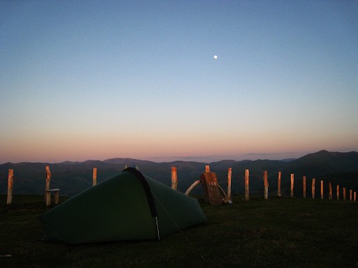 |
And close to bm128, I camp for the night. (coordinates: N43 05 12.2 W1 28 23.5) |
 previous
trip next
trip previous
trip next
trip 
|
|

