|
The
bordermarkers of the Pyrenees : all my trips
 |
|
| - 26 may
2009 - Markers in the mist |
 |
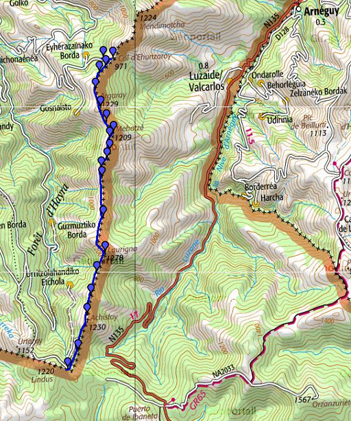 |
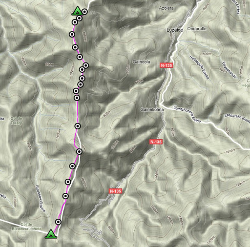
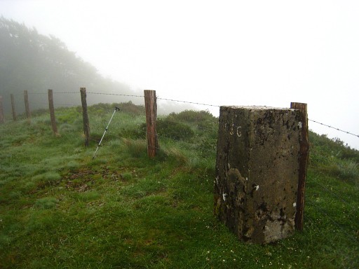
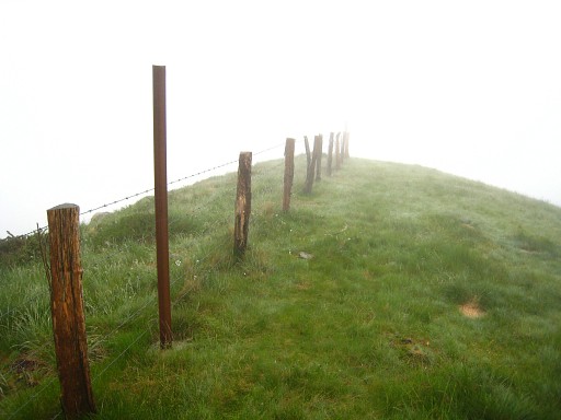
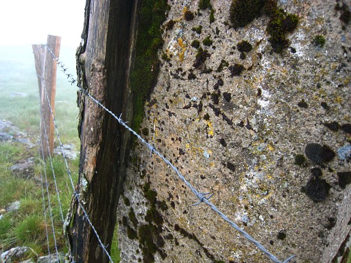
esfr-trip-track-20090510.kml (click to open in Google Earth or copy link to Google Maps; click right on this link to download gpx-version) Part of a 16-days trip, using day 1-10 to cover bm154 to 264 in the eastern Pyrenees and day 11-16 for bm416 to 365 near Bagnères-de-Luchon. Day 2: along the borderridge from bm156 to 174. Straying away from the border is not possible, there's a sturdy fence along the bordermarkers. I go up and down along the borderridge at 1100-1200m until the 250m descent to Col d'Ehunzaroy. Weather: foggy, rainy, cold. Limited views. |
 |
For explanation of
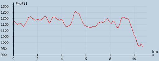
the gps-coordinates and other cartographic backgrounds: see my cartography page En route: ± 10-17h, =7.01h including ± 3/4h break. According to my watch: up 675m, down 911m, = in total 1586, Hmax 1250m Lmin 922m |
 |
According
to visugpx - distance : 10.84 km - cum. elevation gain : 404 m - cum. elevation loss : 603 m - total elevation: 1007 m - altitude maxi : 1259 m - altitude mini : 970 m - altitude average : 1164 m |
 |
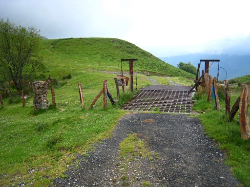
A late start around 10am because of the rain. From the road between bm154 and 155 - at the curve - you can pick up the borderline, the borderfence soon appearing at your right hand. A bit further: bm156 |
 |
I notice this orange waymark but you don't need waymarks or directions to navigate. Just follow the borderfence. There are dirtroads/trails underneath the ridge at the French side but you don't need them. |
 |
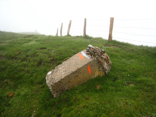
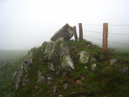
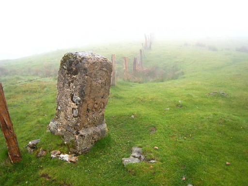
Then I arrive at bm158 which I mistake
for bm157 because of the vague engravings. When I get at bm159, I
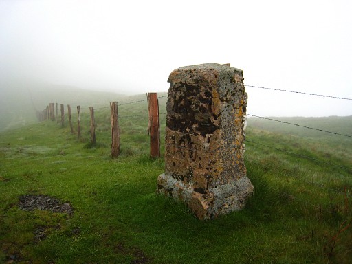
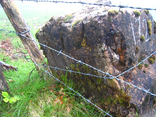
realize something is wrong. I return and find out with my gps (measuring the distance) that my bm157 is bm158. I walk back to where bm157 should be but there's no trace. This picture: approximately the spot of bm157. |
 |
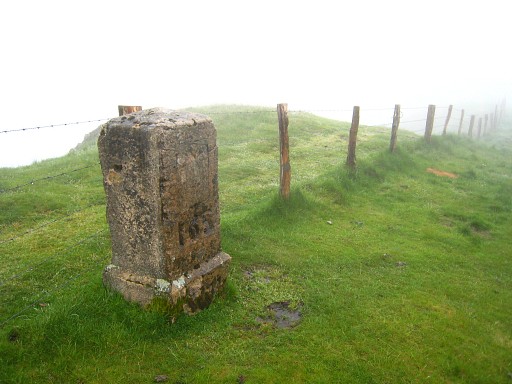
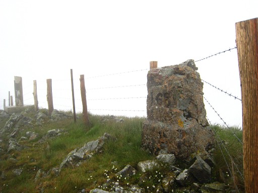
Bm158 The bordermarkers on this ridge are striking by their massive and large proportions. Some - looking more recent - are made of concrete with superficially carved numbers. |
 |
Bm159 |
 |
Bm160 Some of the markers are - like this one - masonry with a large number engraved in the lower part. They look older. |
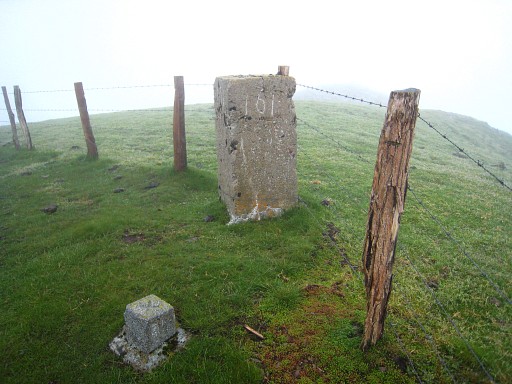 |
Bm161 |
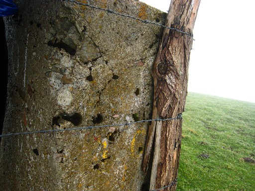 |
Bm161, backside |
 |
Bm162 |
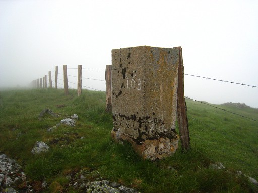 |
Bm163 |
 |
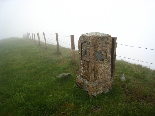
Bm163, backside |
 |
Bm164 Around here, I take a break/lunch in a hunter's shelter. |
 |
Bm165 |
 |
Bm166 |
 |
Bm167 |
 |
Bm167 |
 |
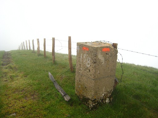
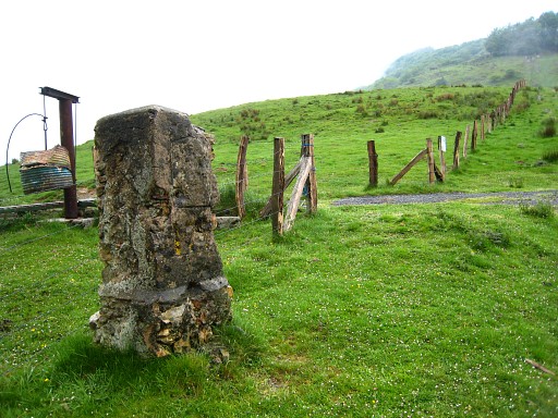
Bm168, in the background a |
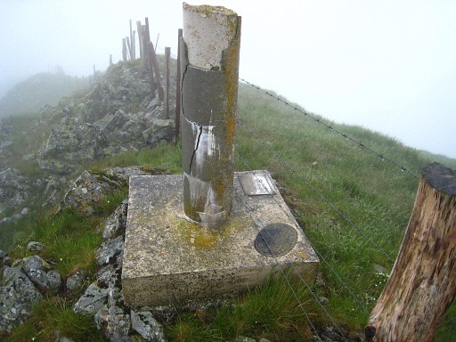 |
geodetic marker. |
 |
Bm169 |
 |
Bm170 |
 |
Bm170, backside |
 |
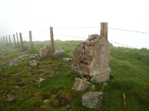
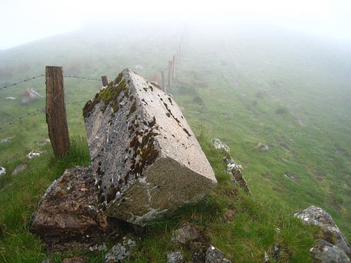
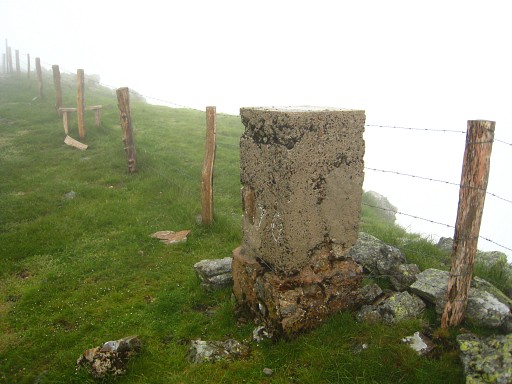
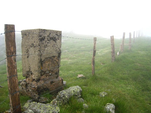
Bm171 Another type of marker: large and made of massive stone, it seems |
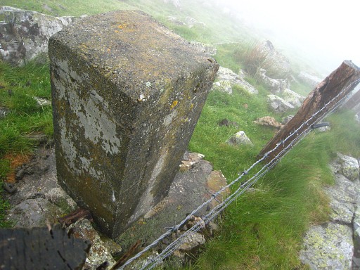 |
Bm171, backside. |
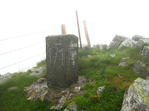 |
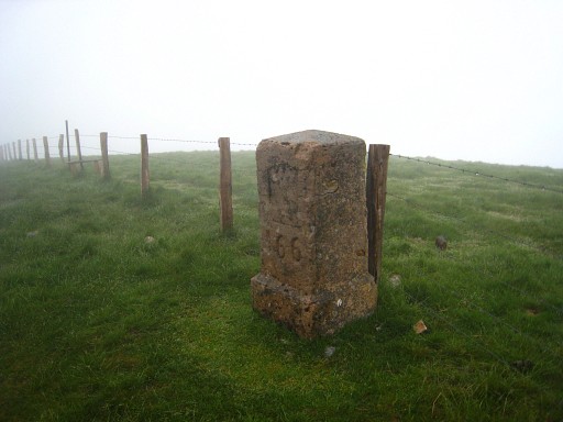
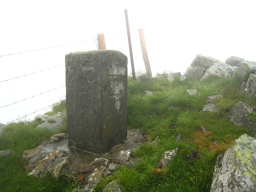
Bm171 Note the very large characters. From here, it's a considerable descent to Col d'Ehunzaroy |
 |
Bm172 |
 |
Bm172 |
 |
Bm173 Somewhere here I hurt my leg when I slip away on the steep hillside. |
 |
Bm173, backside |
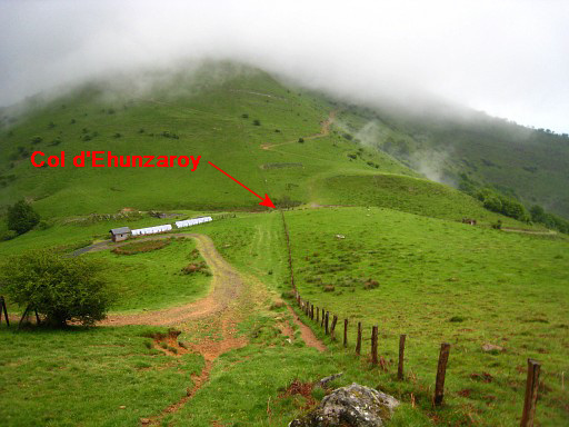 |
The final part of the descent to Col d'Ehunzaroy |
 |
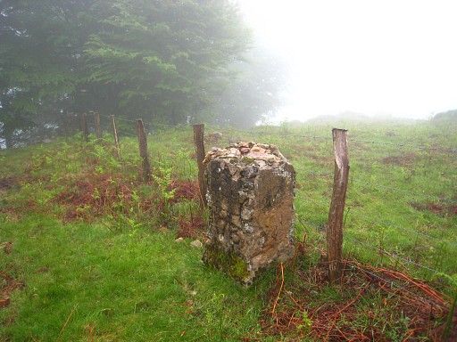
Col d'Ehunzaroy with bm174 |
 |
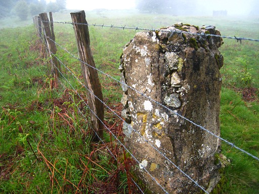
Bm174 |
 |
Bm174 |
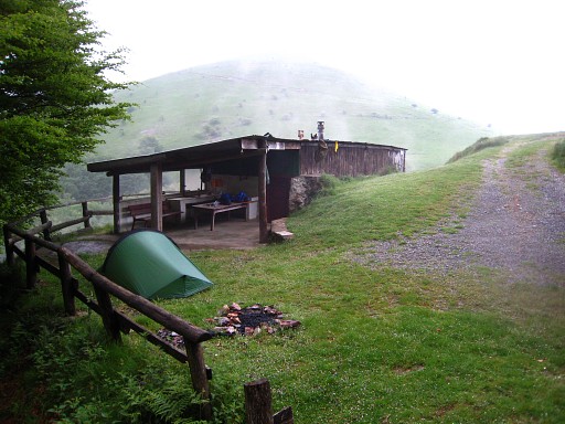 |
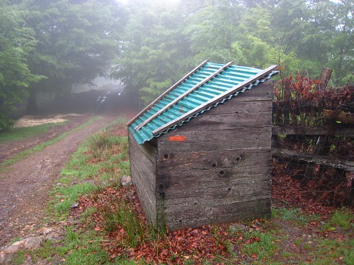
This is a perfect place to stop, close
to Col d'Ehunzaroy. It's a sort of unattended refuge with bunkbeds and
running water. But - according to an announcement inside - you need to
call the owner for his approval. So I decide to camp outside. For a little while it's sunny but soon it rains again. If it rains here, it seems to be raining the entire day. |