|
The
bordermarkers of the Pyrenees : all my trips
|
|
| -
2 june
2009 - Bm251, 252 and 255 not found  previous
trip next
trip previous
trip next
trip  |
 |
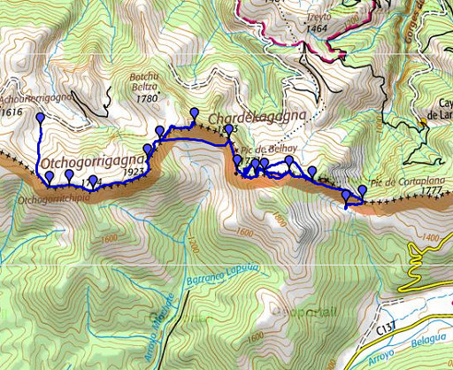 |
esfr-trip-track-20090602.kml (click to open in Google Earth or copy link to Google Maps; click right on this link to download gpx-version) Part of a 16-days trip, using day 1-10 to cover bm154 to 264 in the eastern Pyrenees and day 11-16 for bm416 to 365 near Bagnères-de-Luchon. Day 9: continuing along the border from bm242 to bm255. Weather: clear blue sky, sunny. Still a very strong wind from the W. |
 |
For explanation of
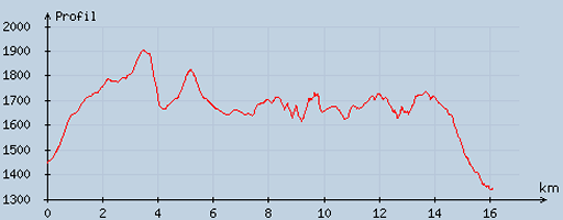
the gps-coordinates and other cartographic backgrounds: see my cartography page En route: 8-845, 10.38h, break ½h According to my watch: up 1635m down 1736 = 3371m in total. Hmax 1912m Lmin 1329m |
 |
According
to visugpx - distance : 16.46 km - cum. elevation gain : 1124 m - cum. elevation loss : 1225 m - total elevation: 2349 - altitude maxi : 1904 m - altitude mini : 1338 m - altitude average : 1664 m |
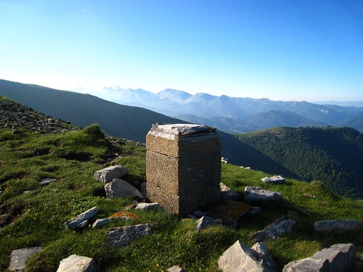 |
Starting at 8am. I return to the ridge and continue on it. Soon I reach bm243. Then |
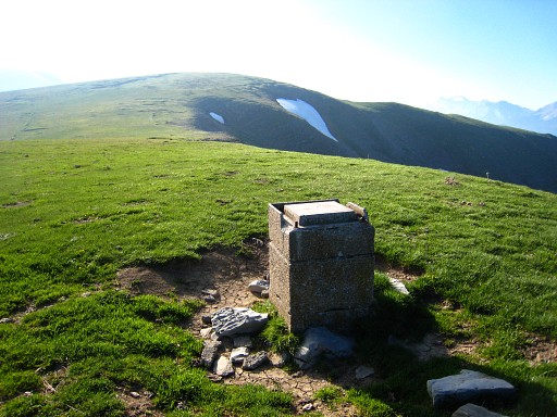 |
bm244. |
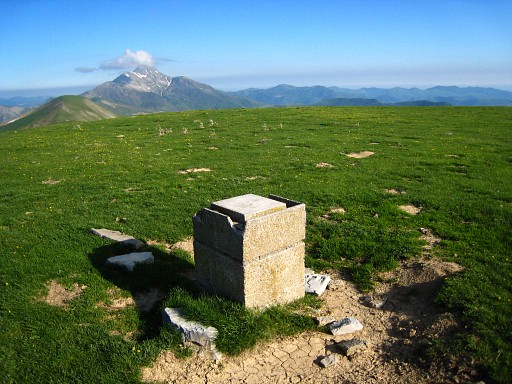 |
Bm244, backside. The Pic d'Orhy in the far distance. Then further to |
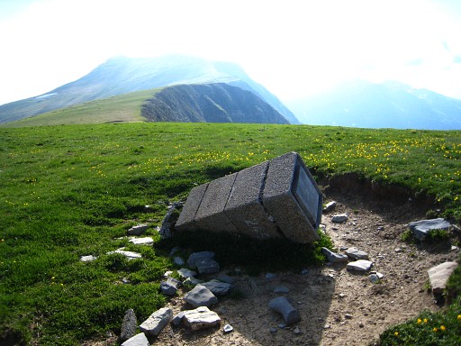 |
bm245. |
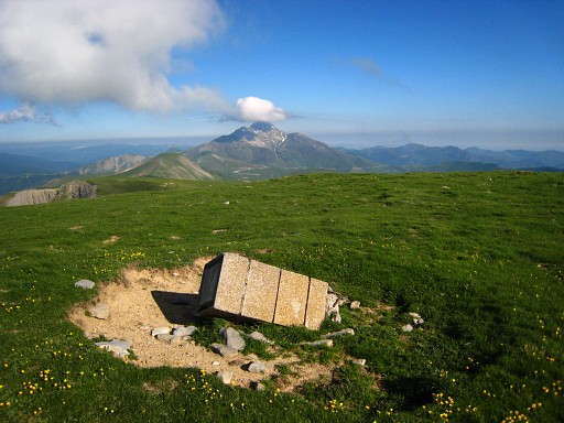 |
Bm245, backside |
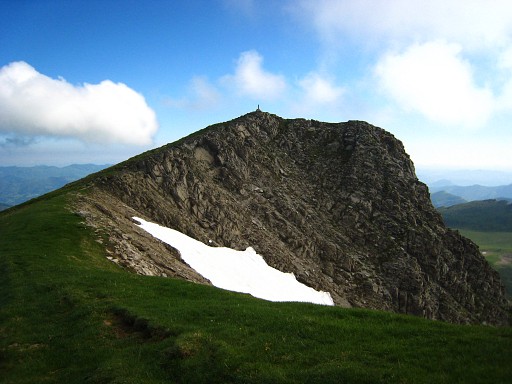 |
Then a tough climb along this ridge to |
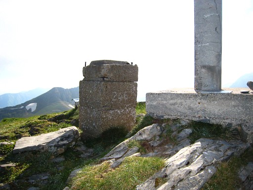 |
bm246. |
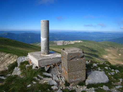 |
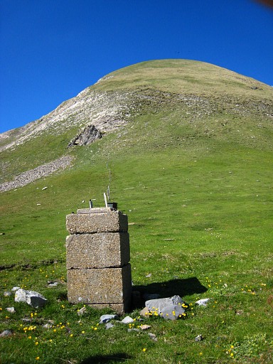
Besides the bm is a geodetic pillar. I can't find the bordercross from the Procès-Verbal. |
|
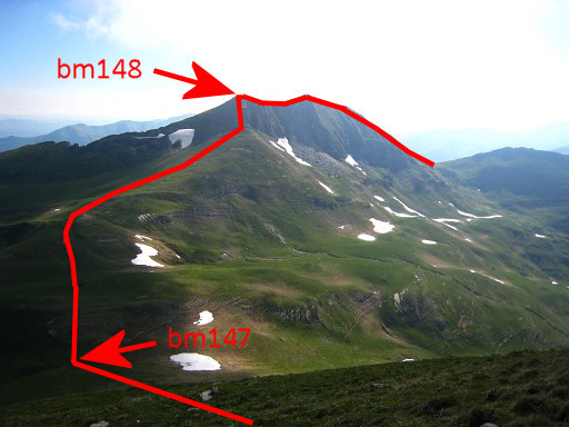
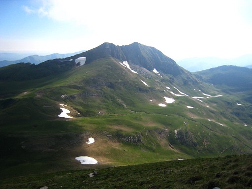
Then a steep descent to a pass, the Uthurourdinétako Portilloua Move the cursor over the picture to see the approximate borderline. And yes: 147 and 148 must be 247 and 248. |
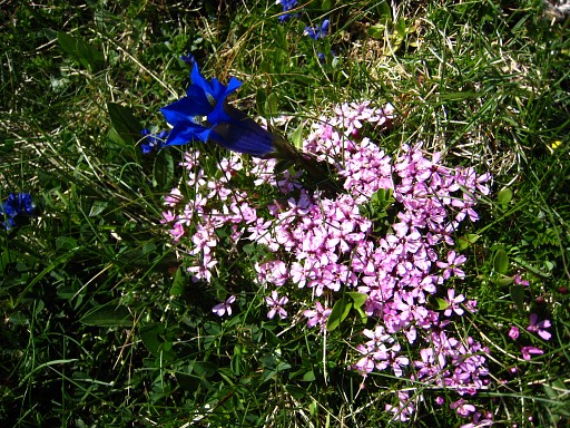 |
But there's more in life than just bordermarkers. |
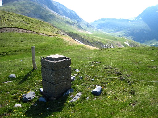 |
On the pass: bm247 |
 |
Bm247, looking back to that steep descent. |
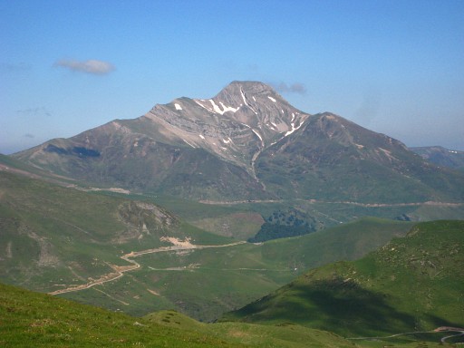 |
And this zoom-in of the Pic d'Orhy. Note the horizontal ridge of the Pic, described yesterday. |
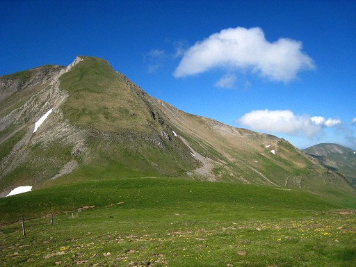 |
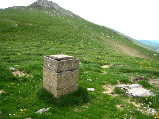
I'm heading for bm248 and look back to the pass, the steep descent from bm246 now better visible. |
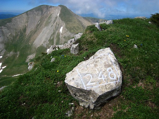 |
I
follow the fence-posts (which are on approximately the watershed) until
the foot of the far left summit of the Chardekagaa. Then I climb
directly to that summit and find a few meters to the west of the far left
summit bm248. Climbing to it can be done more easily making a curve to the left. That's how I descended. |
 |
I return to the pass and pick up the red-white waymarked trail that goes underneath the borderridge. I take a short break and watch the Spanish soldiers in training which have descended from bm426 and will pass me later on. I proceed to the pass of Chotako Lépoula with bm249. |
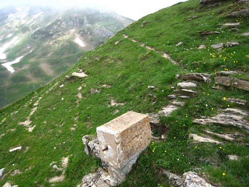 |
A next shortcut underneath the ridge brings me to Port de Belhay with bm250. Since Port de Larreau, all the pillars were made of concrete, built in 3 layers. This one is different as are the next ones. |
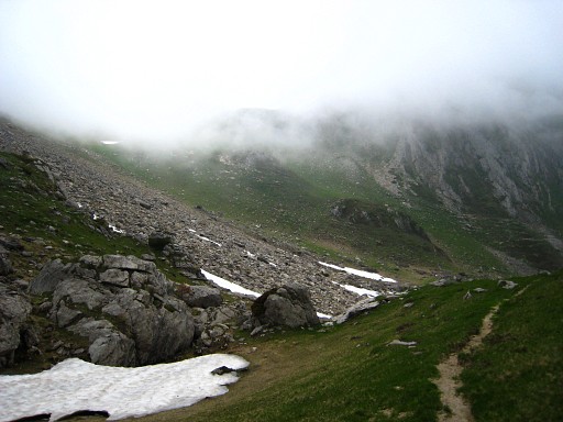 |
Then things go wrong. After the Port de Belhay I can't navigate well in the rocky and partly snow covered landscape. I can't identify the 'chemin' (=path or road) of the Procès-Verbal. There are several tracks through the rockslide on the left of this picture. This picture: looking back at the Port de Belhay in the upper-left of the picture but now hided in the clouds. But later I will learn that bm251 was found by Robert Darrieumerlou (see this page), apparently it was still covered under the snow during my trip. |
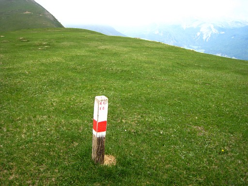 |
I do find a red-white waymarked trail, the GR12-trail to the next pass. |
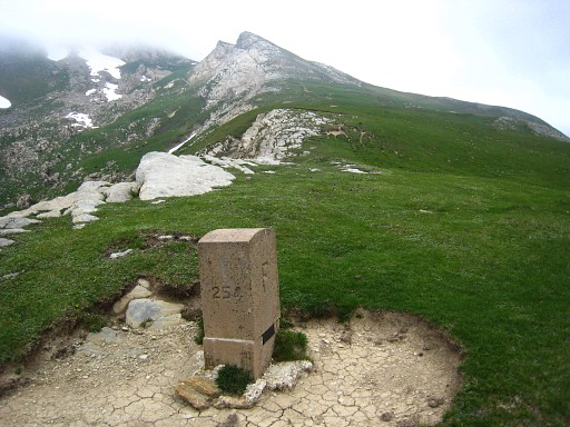 |
I search a long time in vain and then decide to go to the next pass, the Port de Bimbaleta. There I find bm254. |
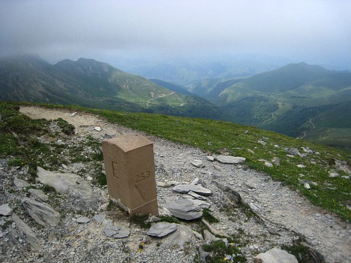 |
From bm254 I return to give it a new try with compass and gps. Soon I spot in the distance on a hillridge bm253 I passed it underneath on my way to bm254. |
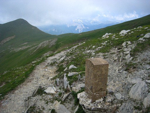 |
Bm253, looking to Port de Bimbaleta |
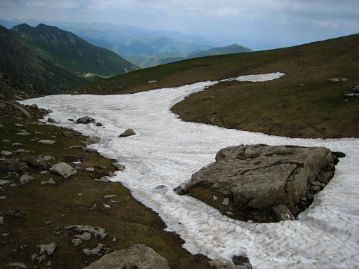 |
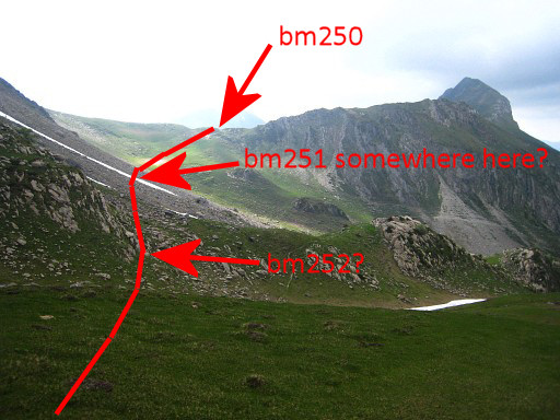
On compass and gps (for measuring the distances) I return further. I think I can identify with help of the distances given by the gps and the indications of the Procès-Verbal a few matching locations. But no trace of crosses or markers. This rock could have been the spot of bm251 (it's on the GR12-trail, there are waymarks at the bottom-edge). |
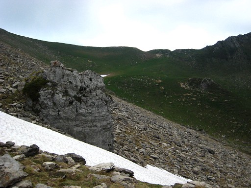 |
And this rock perhaps the location of bm252. |
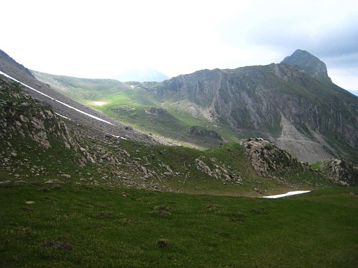
|
All my efforts are fruitless and
I'm returning to the Port de Bimbaleta. This picture: I'm looking back at the rockslide and the Port de Belhay at the far end. But - in april 2010 - I learned that Robert Darrieumerlou found a clear cross (see this page ) close to the ground. By closely comparing his picture with mine, I think I can localize bm252 on this picture. Move the cursor over the picture to see the approximate border. |
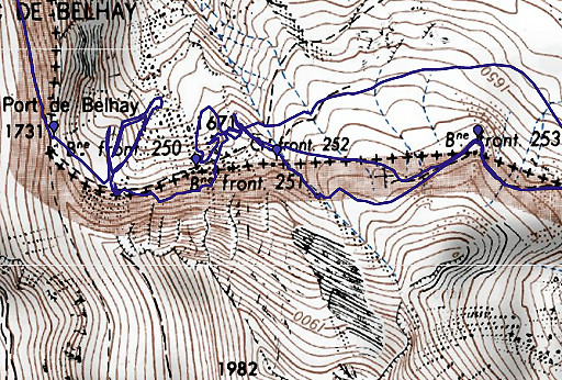 |
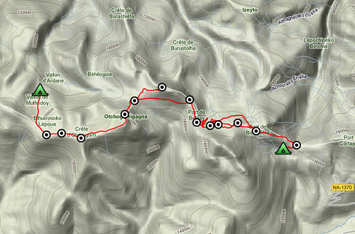
This map shows the gps-tracks of my searches. |
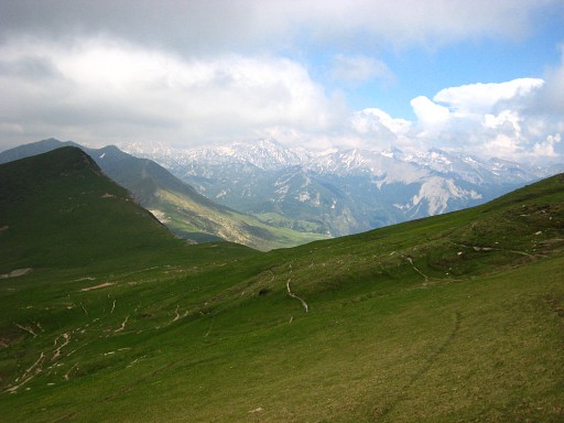 |
This picture: returning to Port de
Bimbaleta. Close to the Port I see small wooden poles with GR12-waymarks. They disappear after the Port. |
 |
I
descend on various parallel trails on the hillside, switching to lower
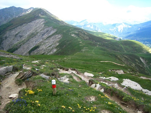
ones while advancing to Port d'Ourdayte. The direction is obvious. This picture: the Port d'Ourdayte in sight, the wooden GR12-poles have reappeared. At the Port however, I can't find bm255. |
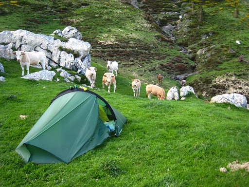 |
But tomorrow there's a new day for searching. I descend to the valley underneath the Port to bivouac. A bull frightens me. |
 previous
trip next
trip previous
trip next
trip  |
|

