|
The
bordermarkers of the Pyrenees : all my trips
|
|
| -
26 august
2010 - Finding shortcuts  previous
trip next
trip previous
trip next
trip 
|
 |
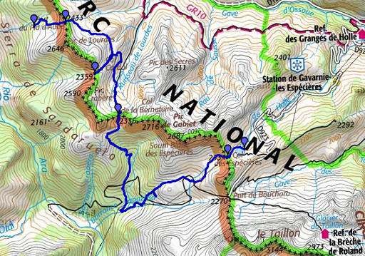 |
esfr-trip-track-20100826.kml (click to open in Google Earth or copy link to Google Maps; click right on this link to download gpx-version) Summary: part of a 11-days backpacking trip from Cauterets to Loudenvielle ‘doing” bm315 to bm330. Day 2: a tough day from bm415 to bm418, tiring descending and climbing in the afternoon. Weather: a warm day, at the end it gets very windy, the sun disappearing behind the clouds. |
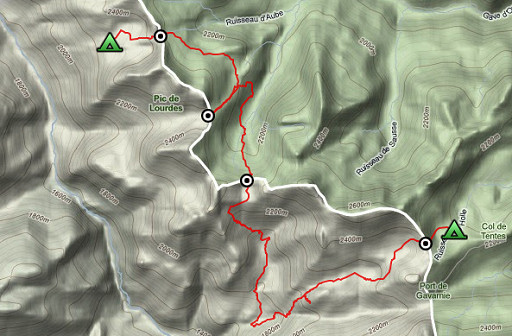 |
For explanation of
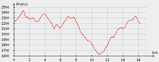
the gps-coordinates and other cartographic backgrounds: see my cartography page Start: 8.30, break: 13.45-15.00, finish: 19.15, net walking time: 9,.30h According to the gp-tripteller: Distance: 17 km Time moved: 6.34h Time standing still: 4.12h In total: 10.46h Total ascent: 1585m Maximum height: 2448m |
 |
According
to visugpx - distance : 16.73 km - cum. elevation gain : 1363 m - cum. elevation loss : 1391 m - total elevation: 2754 - altitude maxi : 2434 m - altitude mini : 1625 m - altitude average : 2135 m |
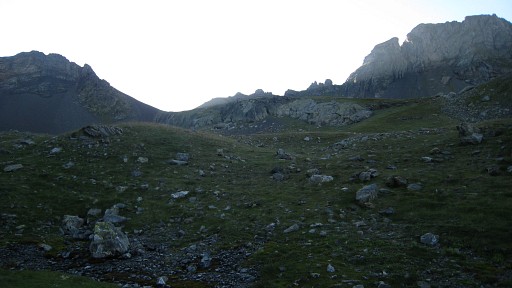 |
Climbing
from my camping-spot, it’s not so obvious where to go. Close mapreading
gives the clue: there are two half-bowl shaped steep valleys with in
the middle a grassy ridge which leads to the Port de Pla d’Aube. |
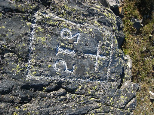 |
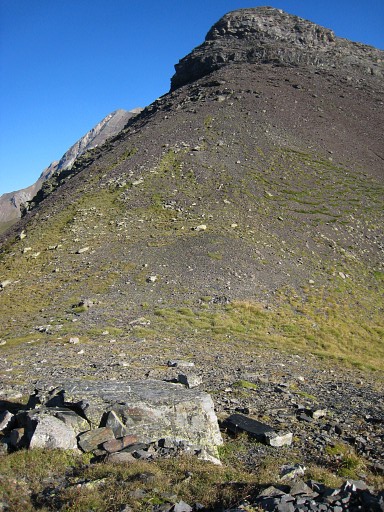
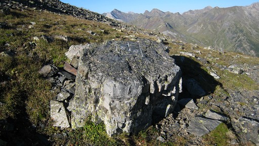
There, on the south-side of the pass, is bm315 (the numbers are in mirror writing). |
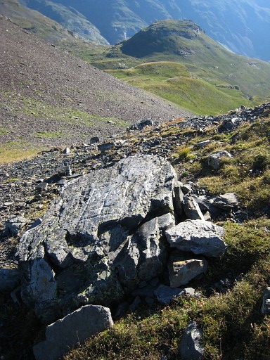 |
Bm315 |
 |
Bm315 |
 |
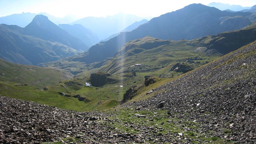
Bm315 |
|
I
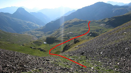
descend on the French side and try a shortcut to bm316. That’s easy:
follow the slope to the right to a sort of hill-ridge with a kind of
pass in the middle. Move the mouse over the picture to see my (approximate) route. |
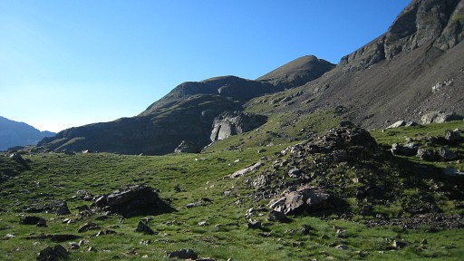 |
After the pass
you’ll reach a lake (Lac du Cardal).
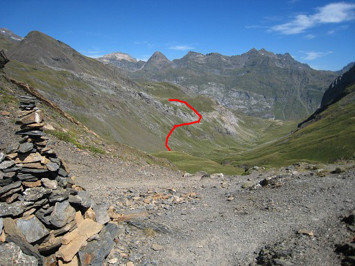
From that lake, head to the right. A path (with cairns) appears parallel to a mountain-ridge at your right hand (on this picture on the right). |
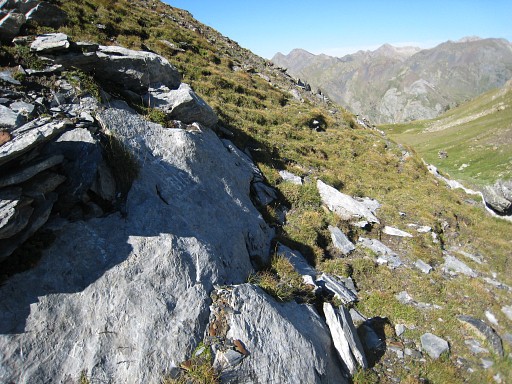 |
to bm316 (Col du Cardal).. |
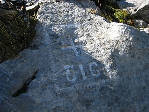 |
Bm316. Again: in mirror writing |
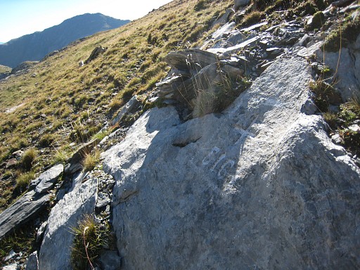 |
Bm316 |
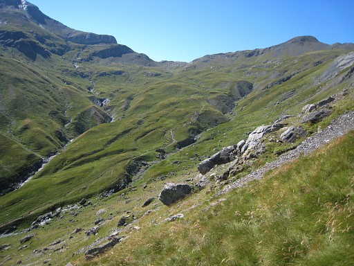 |
Descending
back and trying another short-cut: well before the lake, bend to the
right towards the stream which flows from the lake downwards. Follow
the grassy slope to the right - the path leading to bm417 already
visible in the distance at the end of the valley. You can spot that trail on this picture. Stay high - just below the rocky top part of the slope - until you get closer to where the steep ascent of the trail starts and you can descend to that trail. |
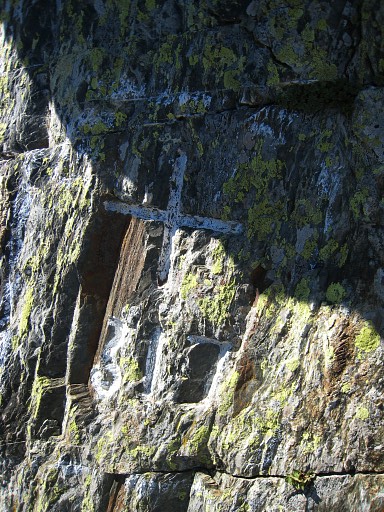 |
Climbing to Col de la Bernatoire with bm317, on the west-side, horizontally but somehow difficult to find. |
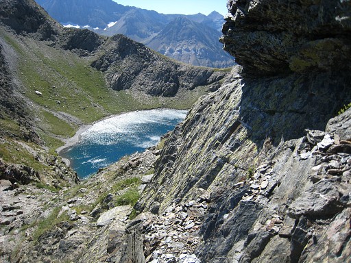 |
Bm317 |
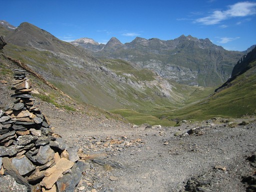
|
Looking back into
the valley. Move the mouse over the picture to see my (approximate) shortcut-route. |
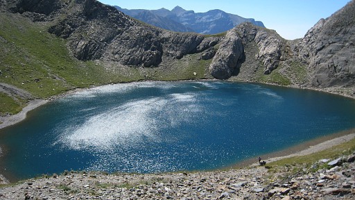 |
From the pass looking at this Spanish lake. |
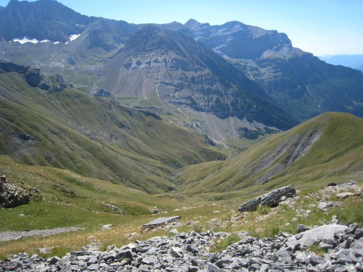 |
Descending (steep, fatiguing) into Spain. |
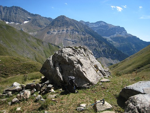 |
Break in between against this boulder. |
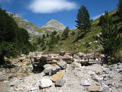 |
At the end of the descent, there’s a cabin. Perhaps you
can cross the stream behind it, I didn’t try. Anyhow, a bit lower in the eucalyptus-forest, the trail descends to the dry stream, crosses it and descends further. We're looking to the north on this picture. |
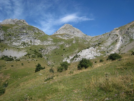 |
But I climb back
uphill on the either side of the
stream. There are cow-trails, they cross the stream. Back to the other side and a trail climbs zigzag to an electric transmission tower which you can see on this picture at the right pass. |
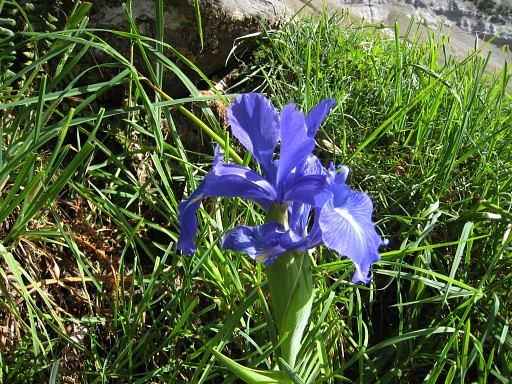 |
Don't forget to enjoy nature |
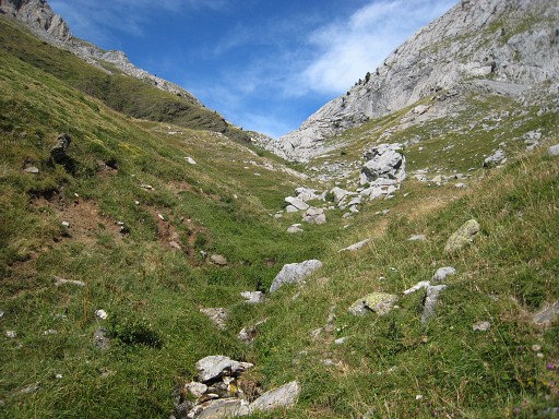 |
From that point climb into the valley to the left in front of you (the electric line entering a valley to the right). There are no trails but one appears as you approach a pass at the top of the valley. |
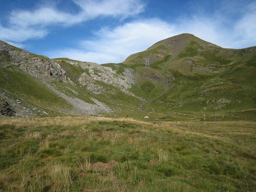 |
After that pass you descend in another valley. The electric line reappears further on and you can see where it passes a sub-pass, giving access to a lake. |
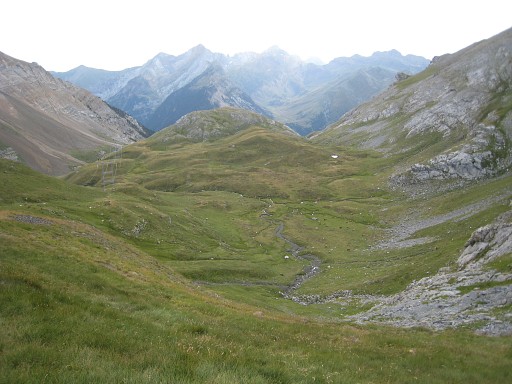 |
Looking back in
the valley, I came from the right side. |
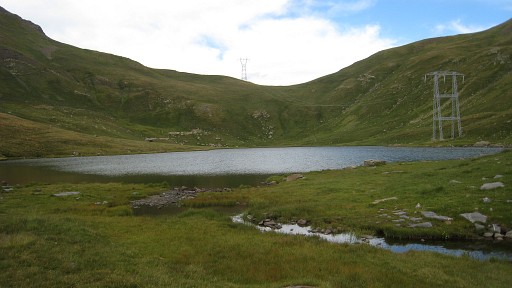 |
The path climbs under and along the electric line to the lake with the borderpass now visible. |
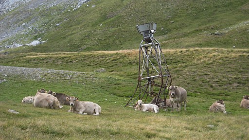 |
A strange
construction I've seen more often in the mountains. |
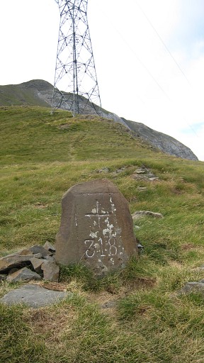 |
Col de Espécières with bm318. |
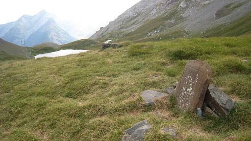 |
Bm318 |
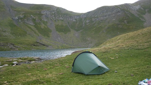 |
On
the French side I find a camping spot near the lake with a view on the
borderpass. Strong winds start. |
 previous
trip next
trip previous
trip next
trip 
|
|

