|
The
bordermarkers of the Pyrenees : all my trips
|
|
| - 25
march
2011 - Finding shortcuts  previous
trip next
trip previous
trip next
trip  |
 |
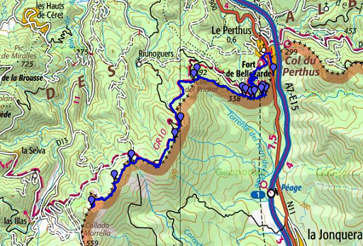 |
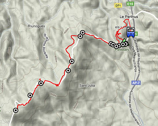
esfr-trip-track-20110325.kml (click to open this trip in Google Earth or copy link to Google Maps; click right on this link to download gpx-version) Summary: part of a 5-days trip from Portbou to a bit beyond Le Perthus (bm600-bm560). A remake of a trip in april 2006, now with a gps. Day 5: from bm570 to bm560 and back to Le Perthus. Weather: sunny, in the afternoon some clouds, a chilly wind. |
 |
For explanation of
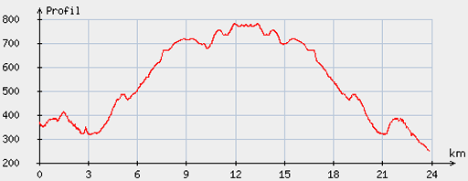
the gps-coordinates and other cartographic backgrounds: see my cartography page Start: 08.30, no break, finish: 17.45, net walking time: 9.15 According to the gp-tripteller: Distance: 25,3km Time en route: 9.21h Total ascent: 1032m Maximum height: 793m Final height: |
 |
According
to visugpx - distance : 23.98 km - cum. elevation gain : 685 m - cum. elevation loss : 803 m - total elevation: 1488 m - altitude maxi : 780 m - altitude mini : 251 m - altitude average : 539 m |
 |
Target today: to cover bm570 to bm559 while exploring the alternative
tracks in between. Some of them I discovered on Google Earth. However,
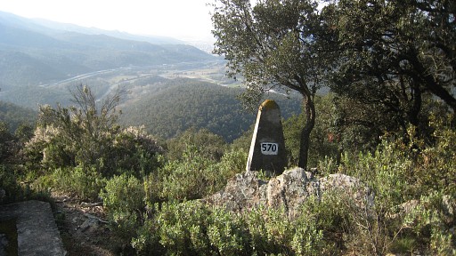
having arrived at bm560, I had to return to catch the bus in Le Perthus. I discovered yesterday evening that I missed bm570, so first thing in the morning is to descend from the ramparts wall to it, which is not far (about 70 meters) |
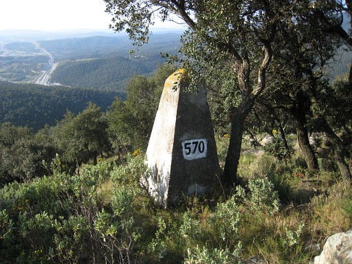 |
Bm570 |
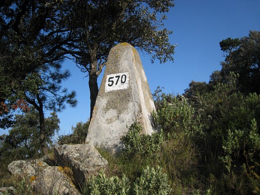 |
Bm570 |
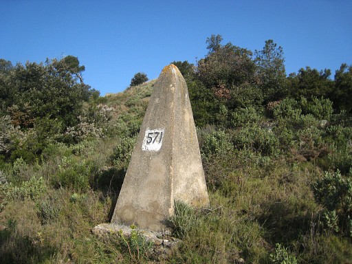 |
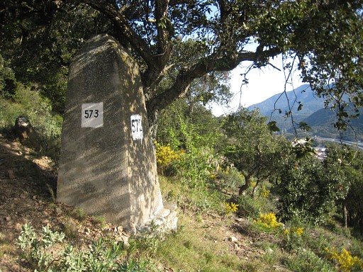
Then surveying the trail from bm570 to bm571 and
bm572. That's a distinct trail but it's start is not quite visible at bm570. But take two steps to the east and you'll see the trail. Bm571 |
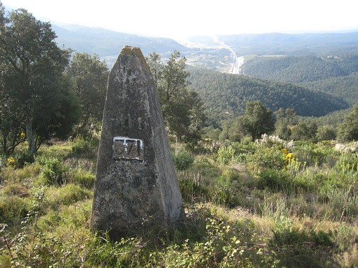 |
Bm571 |
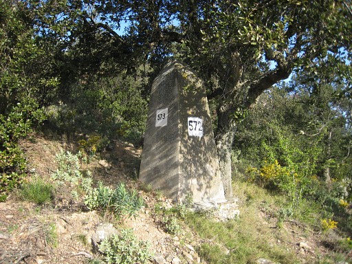 |
Bm572 |
 |
Bm572 |
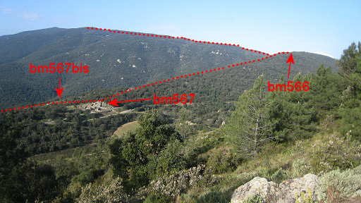 |
A view ahead: we see the roman ruines and the borderline. Back to bm570 and to the ramparts and walking along the grassy sidewalks around the eastern side of this citadel. This is in fact an appendix of the real castle. These premises - outside the castle-building itself - seem to be public or semi-public. Then leaving the premises on the west-side to the public road. |
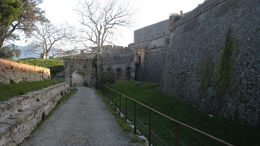 |
This is the entrance to the main
building with the museum. Among its collection: the old bm569. However,
the museum is only opened from 1/6 to 31/9. Purpose of this all: to see if a GRPdesBF-variant bm571-572-573 can end in the premises (there are openings in the outer wall now and then) and proceed towards Le Perthus instead of returning to bm570. The answer is yes. |
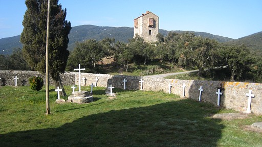 |
Via the public road to the Pannisar-cemetary and looking at the ancient watchtower. Behind the watchtower, down the slope, is bm568 |
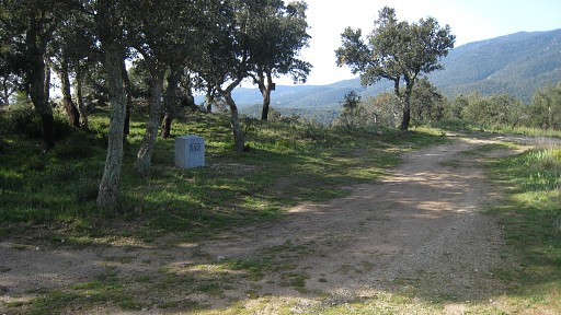 |
Bm569. |
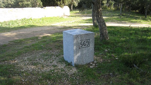 |
Bm569 |
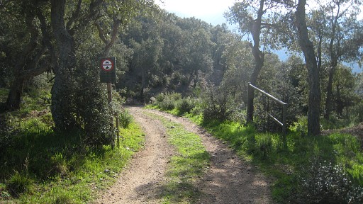 |
Then exploring a route to bm570 which is easily found: go down the pass into Spain, |
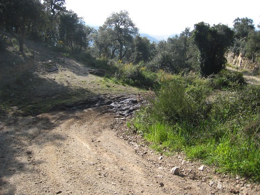 |
at the first bend there's a sideroad to the left. Just beyond the corner a trail starts uphill E-NEE to bm570 and continuing to the opening in the rampart's wall where I camped last night. |
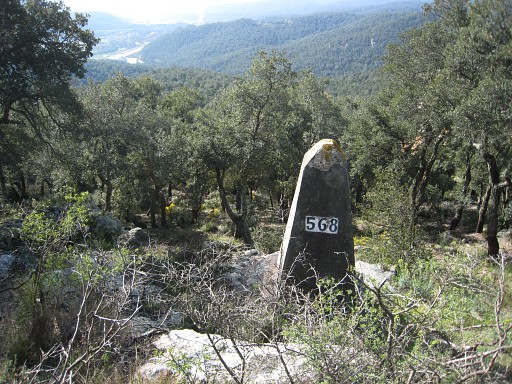 |
Back to bm569 and directly to the
ancient watch-tower. SW of the SW-corner is downhill (50 meters) bm568. |
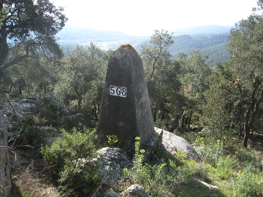 |
Bm568 |
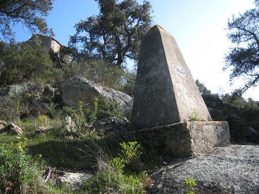 |
Bm568 Back to the tower |
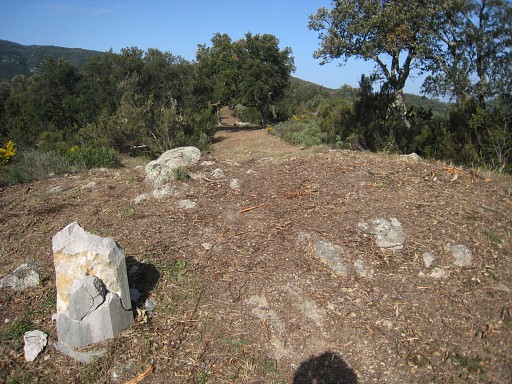 |
and along the razor-shaved hillridge to the roman ruines. |
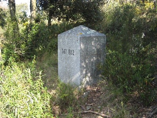 |
It takes me a while to find bm567bis.
This bm is not mentioned in the Procès-Verbal of 1866 and not shown on
the topograhic maps. In 2010, Alain Laridon informed me that I missed
this bm. Date and reason of its placement are yet unknown. From the ruines there's a forest road descending into Spain. At the first bend, leave the road and climb gently E and after ± 20 meters you'll find bm567bis, somewhat hidden in the bush. |
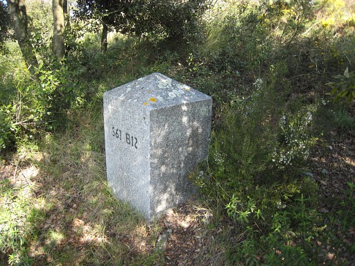 |
Bm567bis |
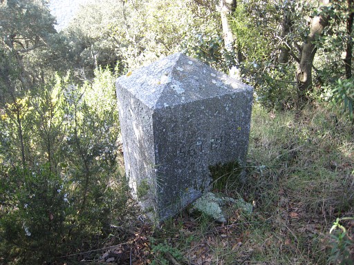 |
Bm567bis |
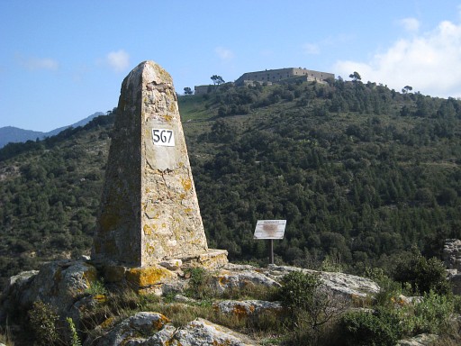 |
Then bm567, the Fort de Bellegarde on the hilltop. |
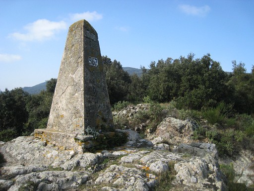 |
Bm567 From there starts the yellow trail (recently cleaned and 'razored') uphill. |
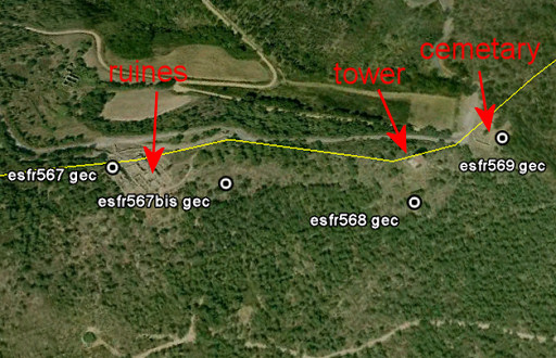 | Plotting the bordermarkers on the Google Earth-map, we see that the borderline between bm567 and bm569 is NOT on the hillridge. This is according to the Procès-Verbal which states that the borderline leaves the "Crête des Pyrénées" from bm567. However - as said before - bm567bis is not mentioned. Bm567bis and bm568 are on the southern slope of the ridge. |
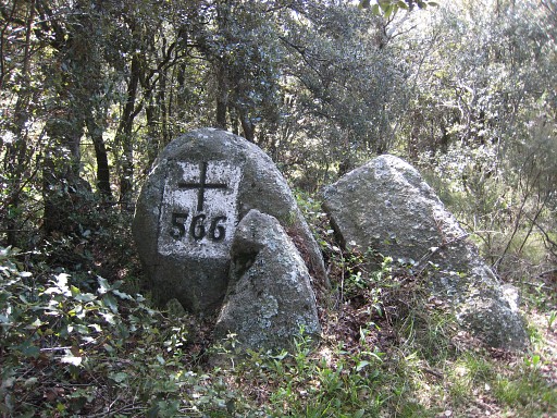 |
Bm566 is at the hilltop of Pic del Priorat but not on an obvious place. When - climbing the yellow trail from bm567 - you have reached the hilltop, the trail bends to the left and descends to Coll del Priorat with bm565. For bm566 you need to contine - where the yellow trail bends - in NWW-direction for approximately 70 meters on a vague trail. The bordermarkers is a few meters to the left, somewhat hidden in the bush. |
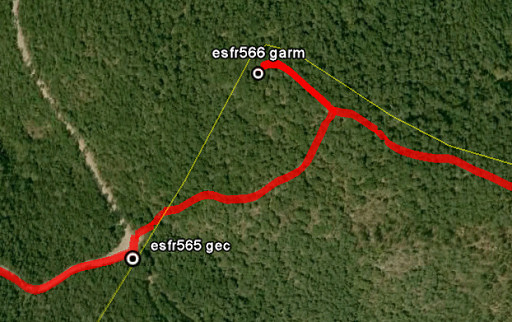 | Perhaps its more clear on this Google Earth-map. You have to make a detour to 'do' bm566. |
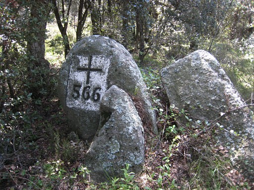 |
Bm566 |
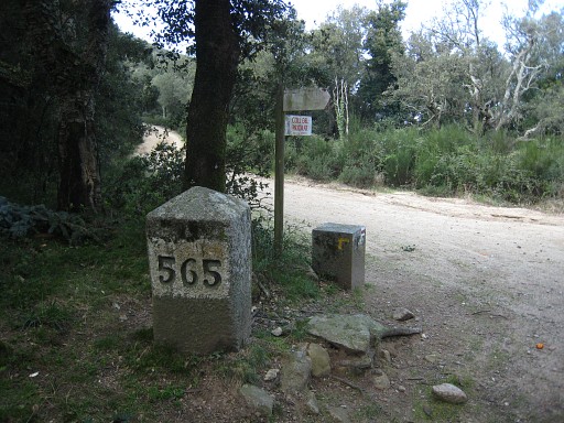 |
and down to bm565. |
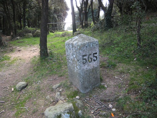 |
Bm565 |
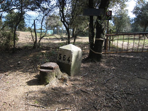 |
Along the road (GR10) to bm564 |
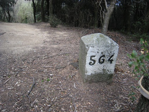 |
Bm564 |
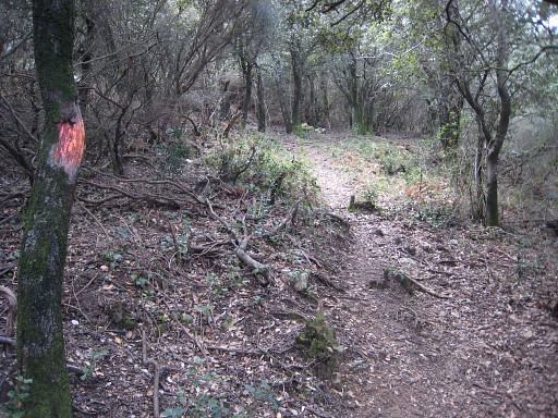 |
and there I find a shortcut to (close to) bm563. That trail starts at the south-corner of road and pass but on the roadside. There is some waymarking. |
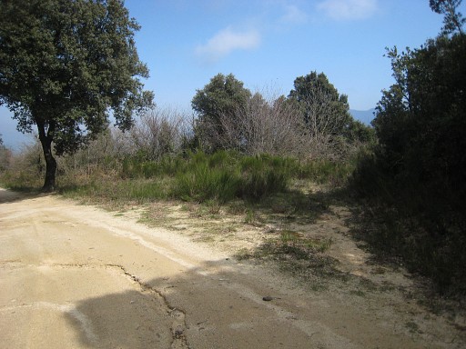 |
This is where the short-cut ends. Or: where it begins when you walk west to east. Direction (east-west): from bm563, walk down the road for about 200 meters untill this spot. Leave the road to the right, a trail will appear. That's the shortcut to bm564. |
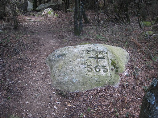 |
Bm563 |
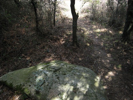 |
Bm563 Then along the road (GR10) to bm562 which is actually along a sideroad of the main road. In between I searched for a while at a wrong place due to a wrong Google Earth-waymark. |
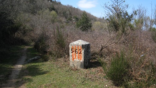 |
Bm562 |
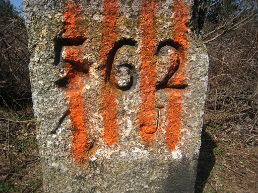 |
Bm562 These vertical orange/red stripes are meant to represent the Catalan Coat of Arms. I've seen this kind of vandalizing a lot on this 5-days trip. For the offenders apparently a way of boosting Catalan patriotic feelings. For me it's just vandalizing cultural-historical monuments. |
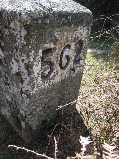 |
Bm562, backside |
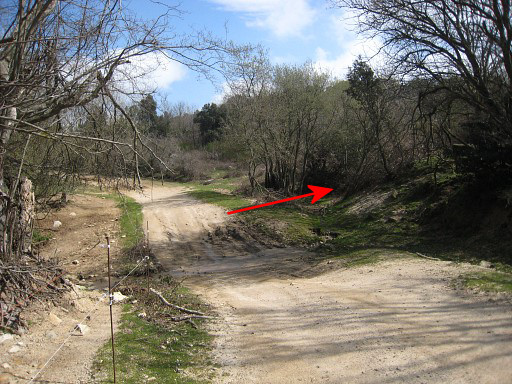 |
I investigate the direct trail from
bm562 to the main road. The trail becomes an stream and ends here (at
the right of the picture). So, walking the GR10 east-west, you have to take here the trail to bm562. But you don't need to: there's a direct waymarked trail from bm560 untill bm562, probably even from bm599 on. |
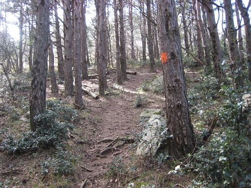 |
Back to bm562. At the very spot of bm562 and opposite of it, starts a trail in the forest. |
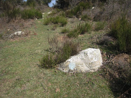 |
There is some waymarking of various colours but the blue one is the most consistent. On my way back from bm560 to bm562 I could rely on these light-blue waymarkings. |
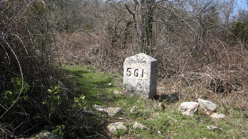 |
The trail climbs and passes the rocky hilltop of Miradones and descends to a pass, right to bm561. |
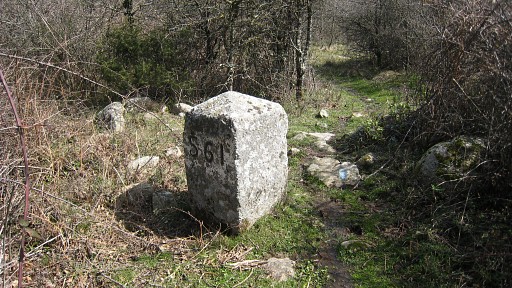 |
Bm561 A bit beyond bm561 at the T-junction, to the left and later on taking a sidetrack to the right (waymarked). That track takes me over a second rocky hilltop and ends at a broader grassy lane. |
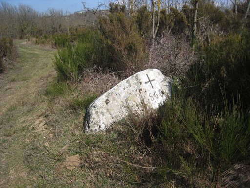 |
To the right, then the first lane to the left and following it in its bends. A last bend discloses an open area, then first lane to the left and there I find bm560 at the left side. |
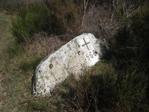 |
Bm560 It's time to return to Le Perthus to catch my bus, although bm559 is tempting. |
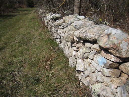 |
Returning to bm562 is easy with the blue waymarkings |
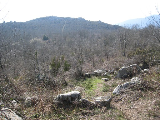 |
Looking back at the valley/pass where
bm560 is. You can see the forest road in the distance, climbing from
bm560 to the the hilltop. From there - relying on Google Earth - it must be quite straightforward to Col de Manrell with bm559. The rest of my return route to bm570 is identical to the outward journey including visiting and encircling each bm for the purpose of a second gps-localisation. |
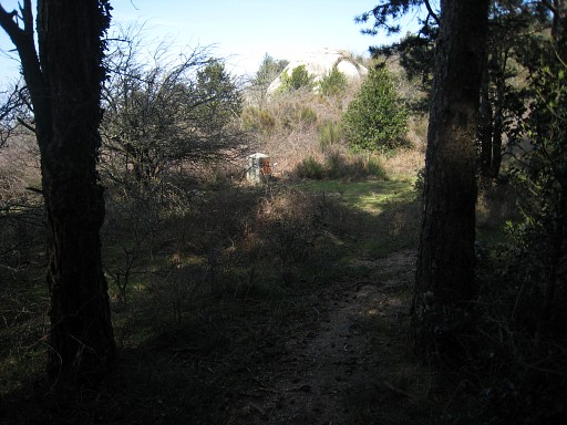 |
Leaving the forest, bm562 ahead. |
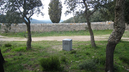 |
Bm569 |
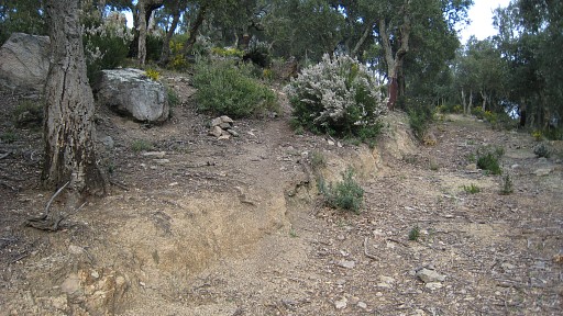 |
This is where the trail starts to
bm570. It's a bit beneath the Col de Panissars, where the main road
makes its first bend. See above. This picture: the road at the right is a sideroad - starting at that bend - with a dead end. The trail starts uphill where I made the cairn. |
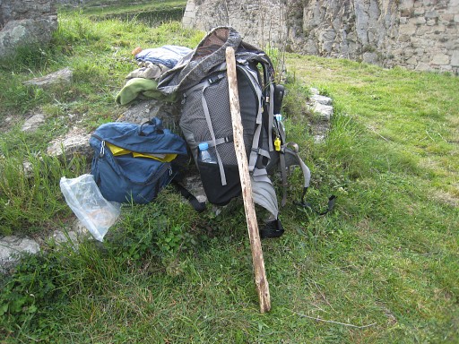 |
From bm570 once again to the castle's
ramparts. It's time to refresh myself and change clothes. Also for
saying goodbye to my walking stick, who served me well. Via the castle grounds to the public road and to Le Perthus, taking bus & train to Girona for my flight tomorrow morning. I believe I have seen enough now of the bm's around Le Perthus. |
 previous
trip next
trip previous
trip next
trip  |
|
