|
The
bordermarkers of the Pyrenees : all my trips
|
|
| -
23 may
2011 - Take your chance  previous
trip next
trip previous
trip next
trip 
|
 |
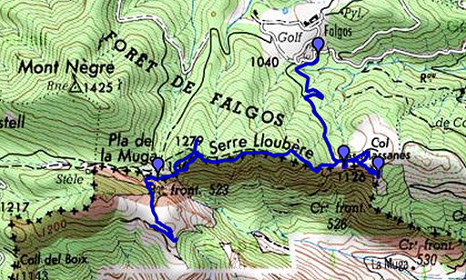 |
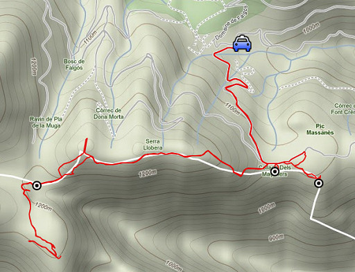
esfr-trip-track-20110523.kml (click to open this trip in Google Earth or copy link to Google Maps; click right on this link to download gpx-version) Summary: part of a 7-days trip to the Pyrénées Orientales with Jan-Willem. Mainly reconnaissances of routes. Supreme highlight: sailing to bm602 on day 1. Day 3: exploring a route between bm524 and 523 Weather: very fine |
 |
For explanation of
the gps-coordinates and other cartographic backgrounds: see my cartography page Start: 12.30 Finish: 17.30 According to the gp-tripteller: Distance: 10,3 km Time en route: 5.13 Total ascent: 550m Total denivellation: 1100m Maximum height: 1275m |
 |
According
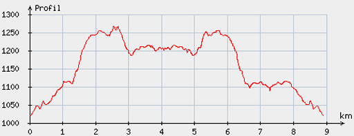
to visugpx - distance : 9.02 km - cum. elevation gain : 376 m - cum. elevation loss : 375 m - total elevation: 751 m - altitude maxi : 1266 m - altitude mini : 1020 m - altitude average : 1156 m |
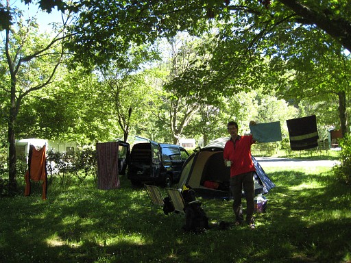 |
We had a good night of sleep in our tent and take it easy in the morning. |
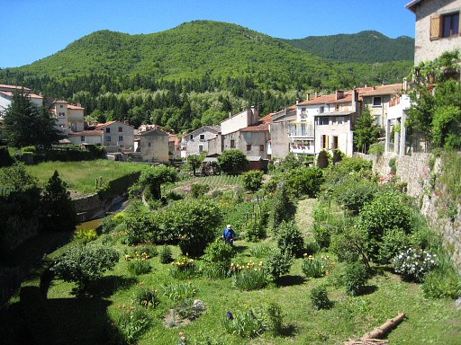 |
St-Laurent-de-Cerdans is a nice village. |
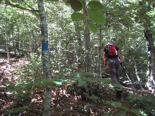 |
We drive to Golf de Falgo, parking on a parking spot where hiking trails start. It's an easy walk uphill along a dirtroad to close to bm524 where a sort of pass is. We camped here twice on 20 april 2007 and 22 april 2007 We remember there's a waymarked trail starting in the broom and soon entering the forest. It's still there: mainly blue but also yellow waymarked. In the forest we follow the trail. The waymarks have often faded away, taking a lot of time to find them. We had to be alert, strayed away once to the north and had to use our compass. |
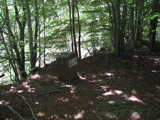 |
We
reach a sort of Pic with boulders where the border (and the trail)
bends and descends to the SW. It was difficult here to find the
waymarks and the way down. But we found it and finally it brings us to a more flat part and to bm523. |
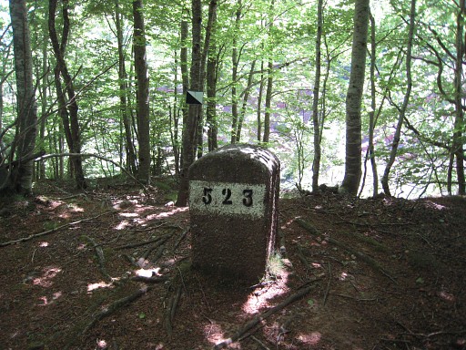 |
Bm523 |
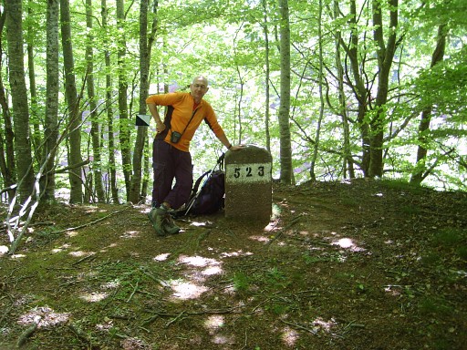 |
Posing with bm523 (photo by Jan-Willem) |
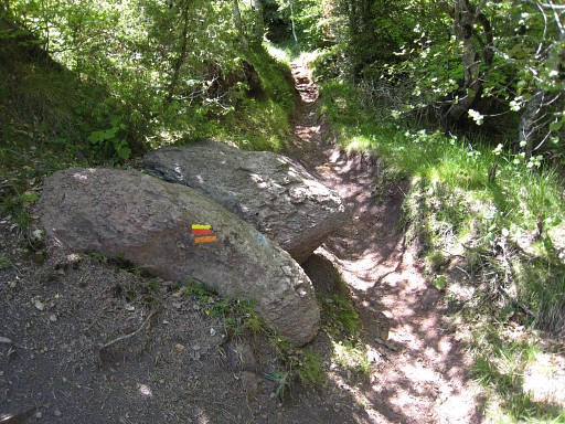 |
A little bit further, we find these waymarks: the yellow-red probably of the Tour de Vallespir-trail. We follow these waymarks a little while (50 meters?) to the west and then go south, leaving these waymarks. I try to find back the trail we followed on 22 april 2007 |
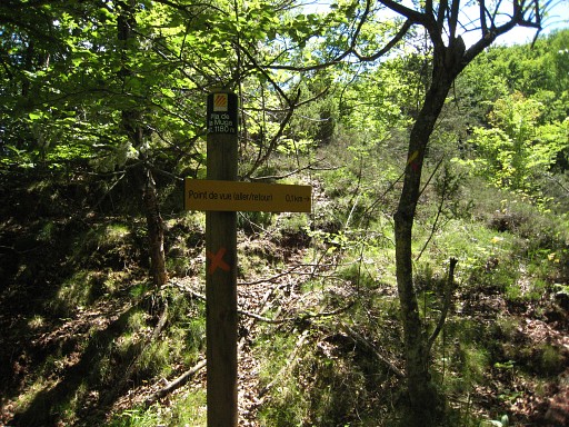 |
And that one is passing the Pla de Muga, a grassy plain on Spanish
terrritory, to join later approximately the borderline and lead to
bm553. This sign is pointing to viewpoint over the Muga-valley. |
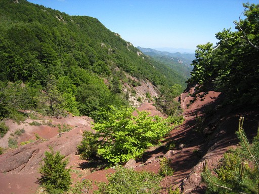 |
And this is the eroded upper-bed of the river Muga. |
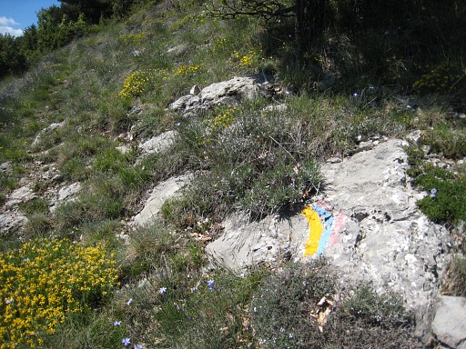 |
I follow the trail across the Pla de Muga. It has two waymarks: a yellow and a red/blue. Then there's a kind of bifork. One branch - the red/blue one - is leading SE (to where?) and the other - the yellow one - NW. The last one is apparently the one we followed in 2007. I walk the yellow trail further for a gps-track untill (I think) it bends to go to Coll del Faig Gros (?). |
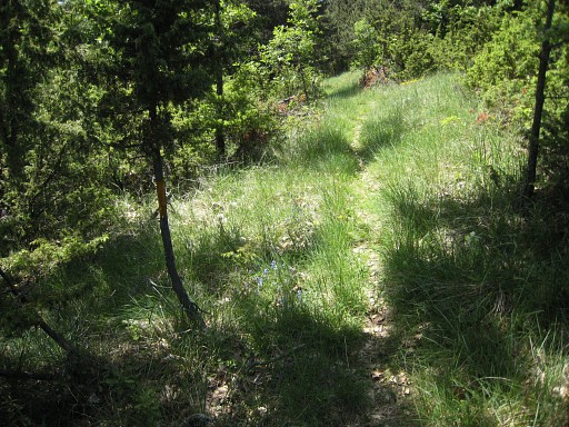 |
Back across the Pla de Muga to where Jan-Willem is waiting, close to the viewpoint. |
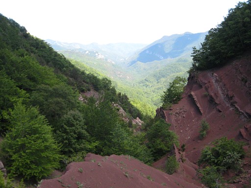 |
And now visiting the viewpoint. |
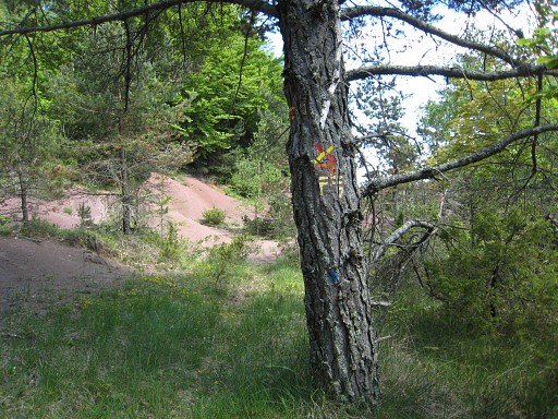 |
And back to bm523. At this point the yellow/red trail goes left, we go straight ahead to bm523. |
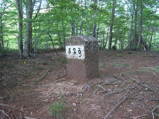 |
Bm523 : while passing again, we discovered that on the other side the 3 was painted into a 9. We return aproximately on the same route to bm524. However: we can't find back the blue cq yellow route to that pic with boulders. So we simply climb NE which brings us simply to the borderridge. Later on we find the waymarks back but just following the ridge will also do the job. But the blue trail will - further on - take you underneath a Pic and let you descend to the edge of the forest where the trails enters the broom to guide to the pass. |
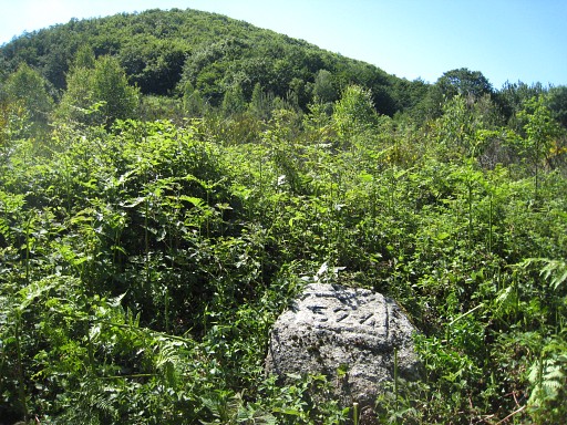 |
Another possibility is not entering
the broom but to follow the edge of the forest (in the forest) with a
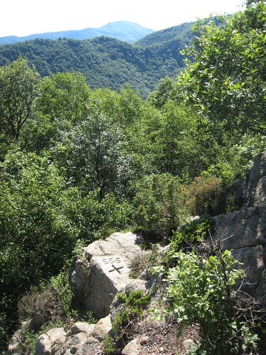
steep sandy part at the end at the pass. It's difficult to conquer the bramberry to reach bm524. And it seems that it will get worse in the future. So you'd better take your chance soon to visit these bordermarkers. |
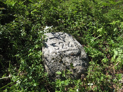 |
Bm524 |
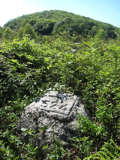 |
Bm524 |
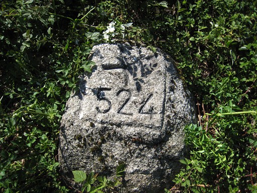 |
Bm524 |
 |
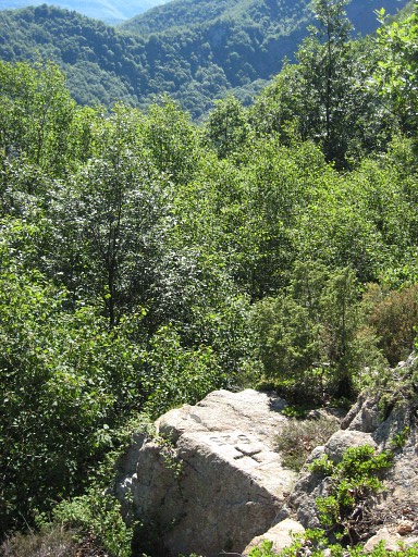
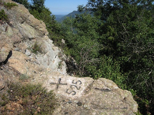
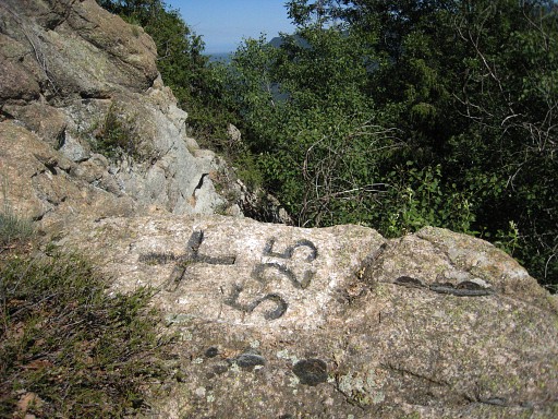
It's also hard to reach bm525. |
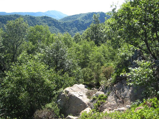 |
Bm525
|
 |
Bm525 |
 |
Bm525 |
 |
Bm525 |
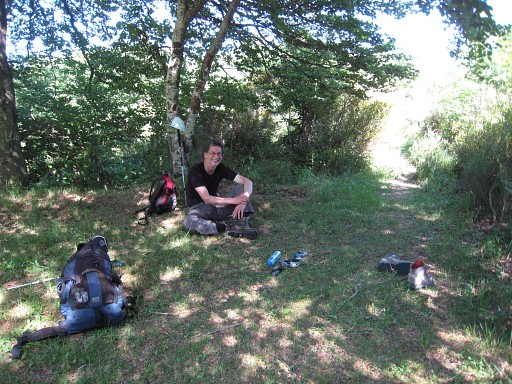 |
And while I was wrestling through the berry bush, Jan-Willem took it easy in the shade. We drive to Coustouges for a well deserved "grand café au lait" but the bar / restaurant has closed. But we buy a fine bottle of "vin de pays" which will accompany the delicious pizza's from the take-away in St-Laurent-d-C. |
 previous
trip next
trip previous
trip next
trip 
| |
