|
The
bordermarkers of the Pyrenees : all my trips
 |
|
| -
friday 11 april
2014 - Thunderstorm |
 |
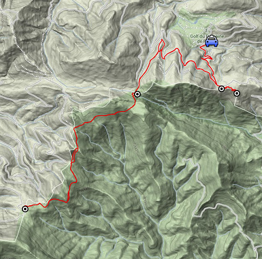 |
esfr-trip-track-20140411.kml (click to open this trip in Google Earth or copy link to Google Maps; click right on this link to download gpx-version) Summary: part of a 6-days trip to the Eastern Pyrenees, exploring routes between bm521 and bm545. Basecamp: the camping municipal in St-Laurent-de-Cerdans. Day 3: from the Falgo Golf-complex a trip via Pla de la Muga to bm522 and back Weather: sunny, nice, in the afternoon a thunderstorm |
 |
For
explanation of
the gps-coordinates and other cartographic backgrounds: see the cartography-page Start:9.45h, no break, finish: 16h, net walking time: 6.15h According to the gps-tripteller: Distance: 17,5 km Total ascent: 411m Total denivellation: 822m Maximum height: 1166m Total time: 6.20h |
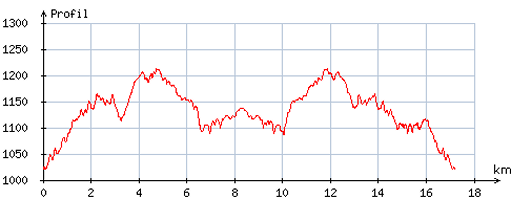 |
According
to visugpx - distance : 17,3 km - cum. elevation gain : 482m - cum. elevation loss : 480m - total elevation: 962m - altitude maxi : 1212m - altitude mini : 1020m - altitude average : 1129m |
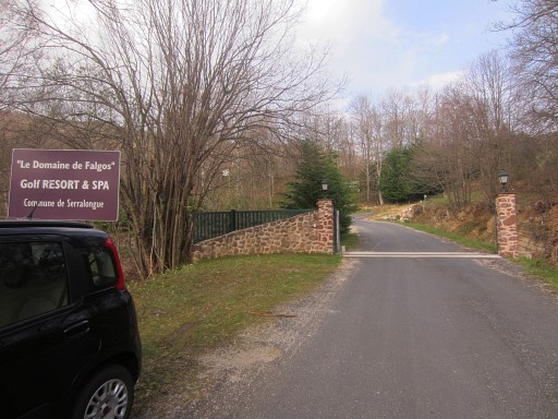 |
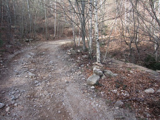
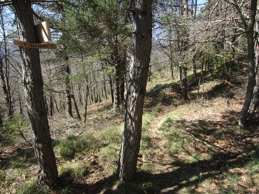
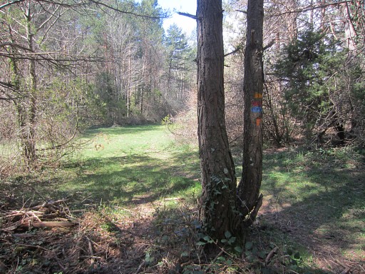
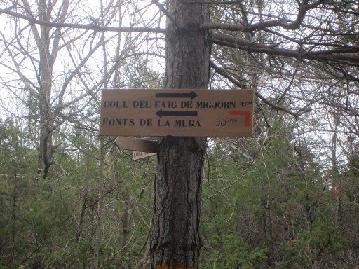
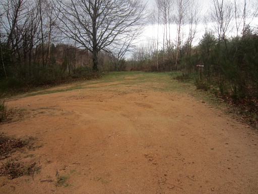
Just beyond the entrance-gate of the Falgo-complex, |
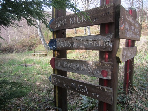 |
I find these waysigns. My direction will be: Pla de la Muga. |
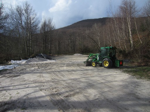 |
I go left to get - past this working area - to the sandy dirtroad which climbs gently and winding to Col de les Maçanes. |
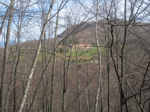 |
In between, this view on the golf-complex of Falgo. |
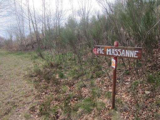 |
Having arrived at Col de les Maçanes, there's this sign for the MTB-route to Pic Massane. Jan-Willem and I camped here twice on 20 april 2007 and 21 april 2007. |
 |
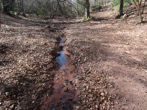
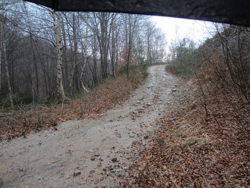
Then continuing on the dirtroad NWW which winds along the hillside, crossing several running streams. |
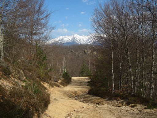 |
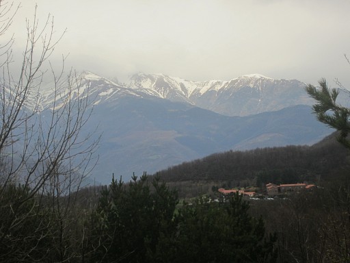
Snow-capped mountains in the distance |
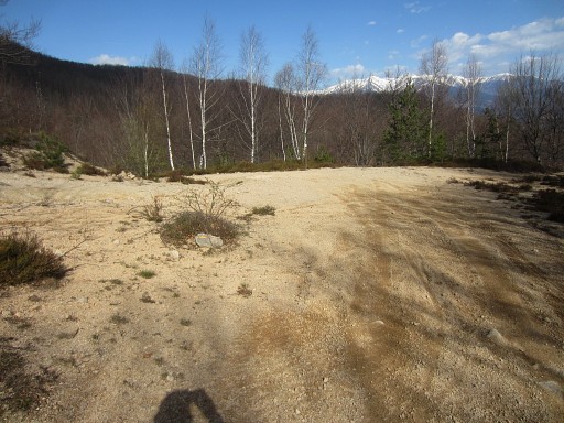 |
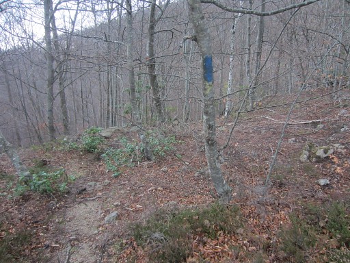
Then - at a broad bend of the dirtroad - I have to go left and leave the dirtroad which is |
 |
well waymarked. |
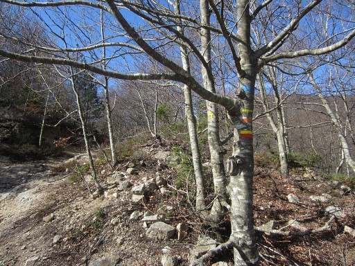 |
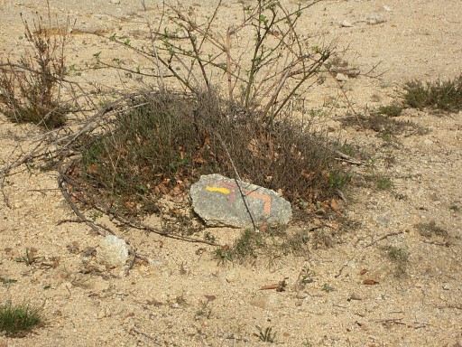
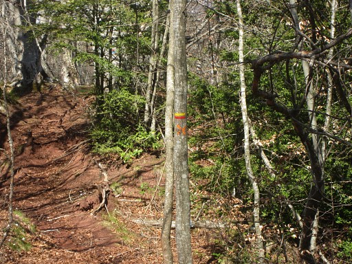
Now I also see the yellow/red-waymarks of the Tour de Vallespir (I think). I wondered if it still existed. |
 |
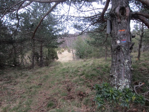
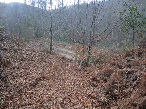
At this point, I spot to the left |
 |
these blue waymarks. They indicate a shortcut to the dirtroad. I will try that shortcut on my return. |
 |
Passing a hunter's post and |
 |
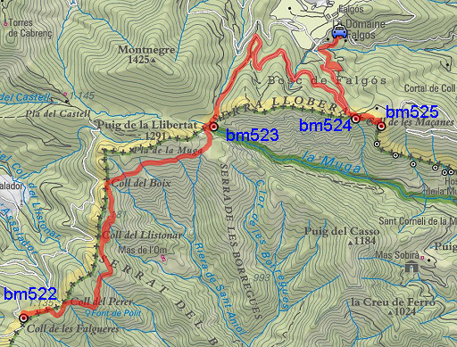
arriving close to Place de la Muga and bm523. |
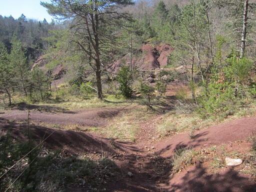 |
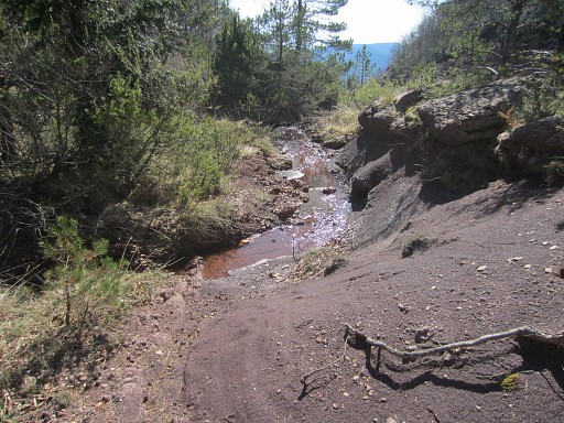
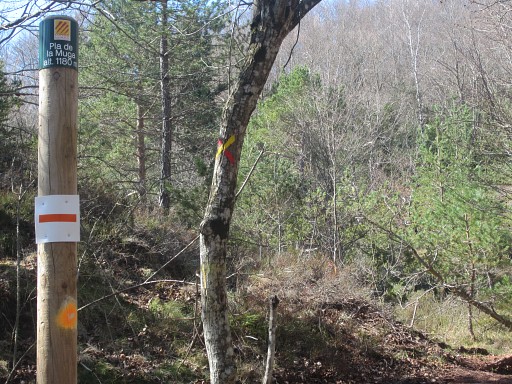
Having arrived at Pla de la Muga with its typical brown sand precipices and
where the Muga springs. (In fact it springs 350m to the W, there's a plaque there) From here, bm523 is 50m to the left (=E) in the forest at the edge of the precipice. |
 |
I will continue the yellow/red trail for a while but first |
 |
I turn left and visit bm523 |
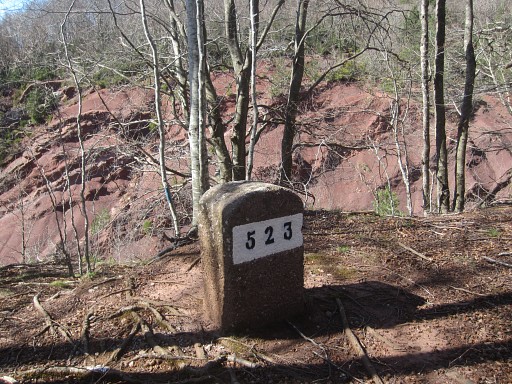 |
Bm523 |
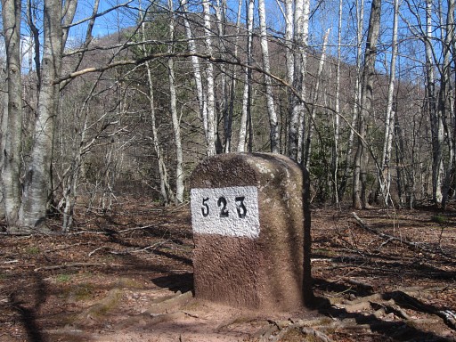 |
Bm523 |
 |
After 'doing' bm523, I continue on the yellow/red trail for a short while along the Muga-stream |
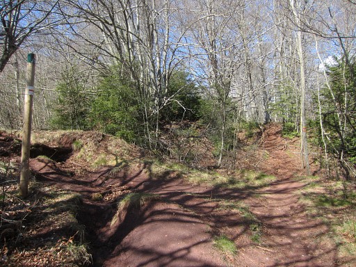 |
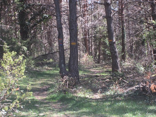
but then leave it to go left, on a orange waymarked trail. That's here: left is the orange trail and |
 |
straight ahead continues the yellow/red trail. |
 |
You can't go wrong with so much waymarking. |
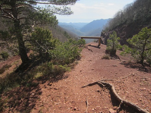 |
Further on - ± 50m - you can go left for a marvellous view on the Muga-valley. |
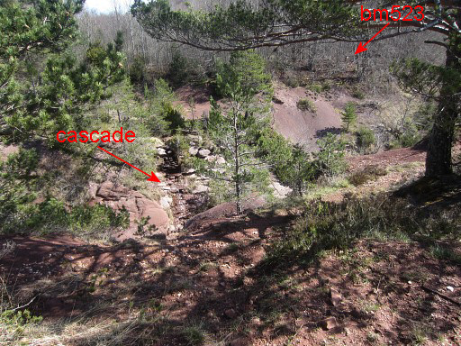 |
From this viewpoint, I spot to the left two things: - bm523 - a small cascade where the Muga drops |
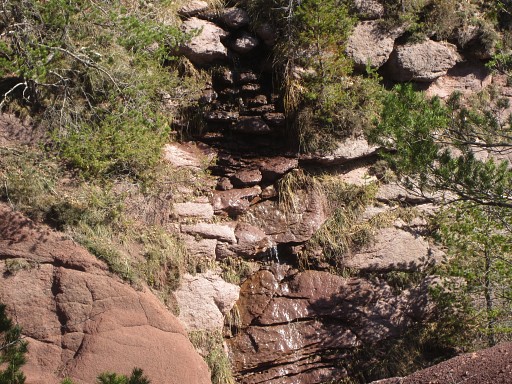 |
Getting water might be easier from this cascade than from the stream. Remember: water is scarce on the borderridge in this region. When following my GRPdesBF-trail you need to plan you water refuel. |
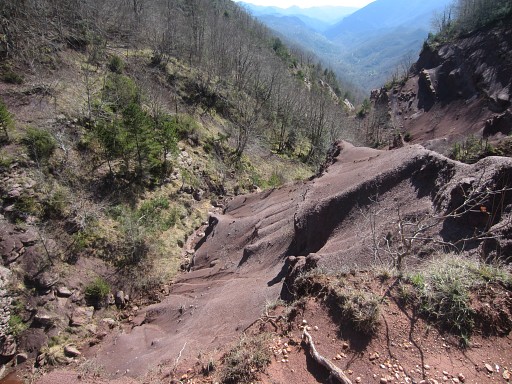 |
The Muga-valley |
 |
From bm523, there is a direct route to bm534 possible via the borderridge. We tried that at 23 may 2011. |
 |
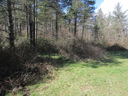
Back
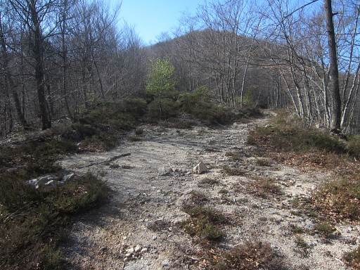
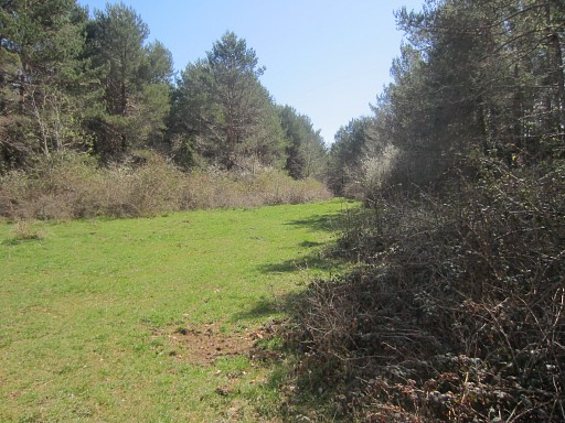
on the orange trail, it soon arrives at a large open grassy space.
There - on the grass - the trail bends right. That's not obvious, watch for the waymarks on the trees to the right. On 23 may 2011 I walked straight on and found other waymarks. |
 |
But now I have found the right trail to bm522 and it takes me ± 1 hour to get there. |
 |
Signs like these help |
 |
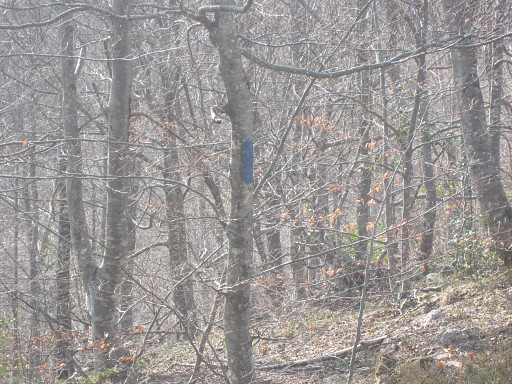
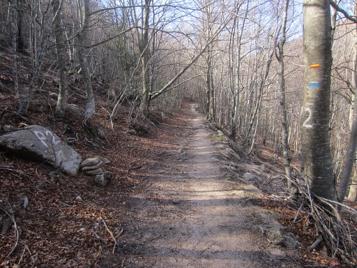
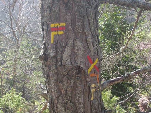
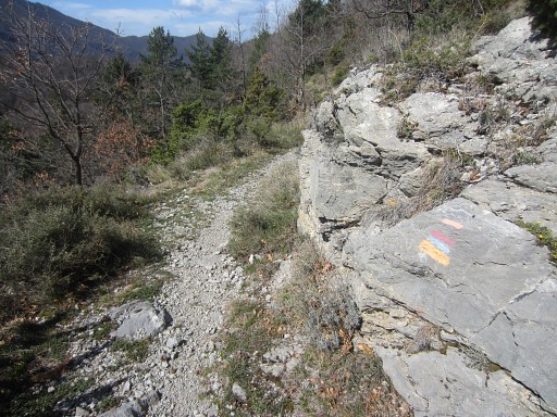
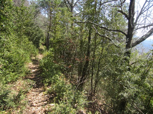
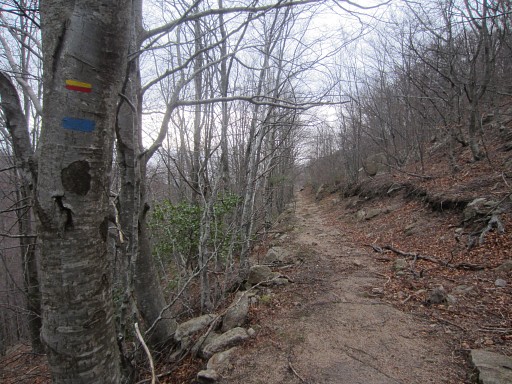
The trail is fine and well waymarked: yellow, orange and red/blue. |
 |
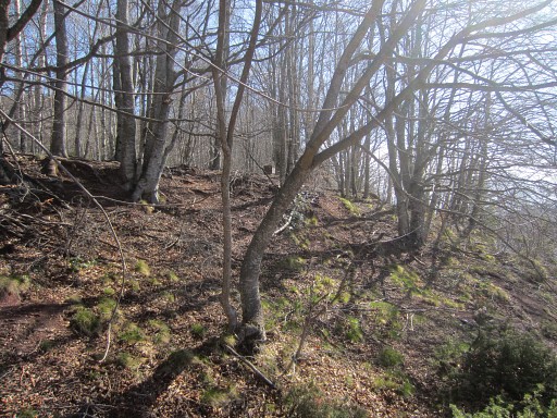
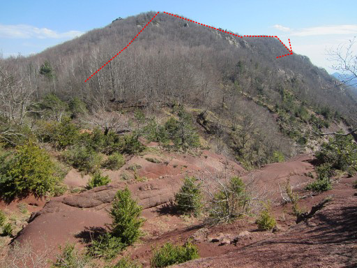
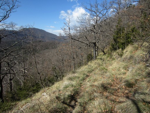
I recognize this scene. It's the N-side of the summit-ridge of Comanegra where I walked yesterday. Note the drop of the ridge. |
 |
I continue |
 |
and pass the Coll del Llistonar |
 |
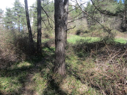
and arrive at this rectangular open space. |
 |
Further on - at its left side - we see |
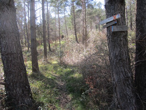 |
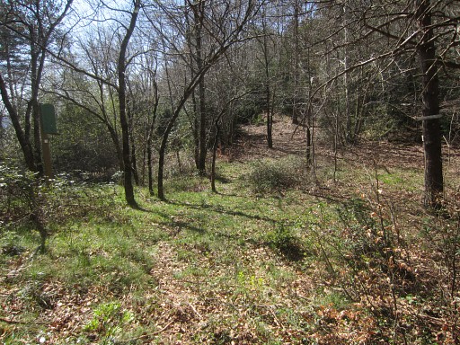
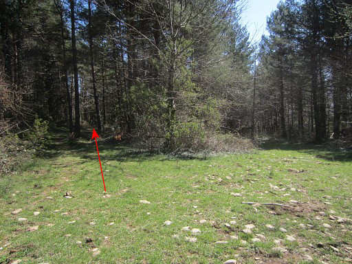
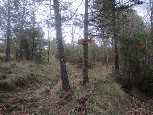
this entrance of the forest with these signs. |
 |
The trail brings you in ± 40m to bm522 |
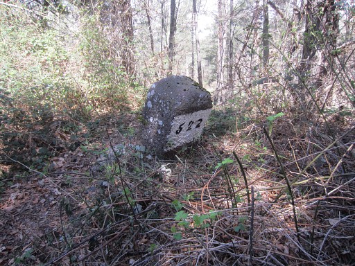 |
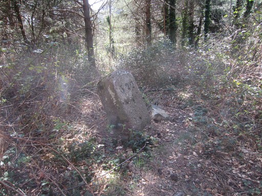
Bm522 |
 |
From
bm522 I return the same way back to Pla de la Muga. Directions from bm522: continue on the path and reach in ± 40m a rectangular open grassy space, |
 |
go right to the end of it. |
 |
There
- at the left side - enter the forest where the (various) waymarks
reappear. |
 |
Then it's an one hour walk - well waymarked and |
 |
beautiful and easy - to Pla de la Muga. |
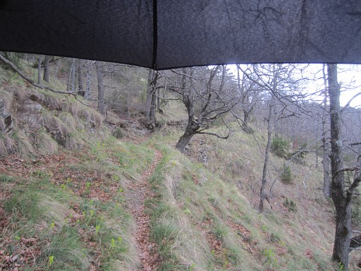 |
Meanwhile thundering and rain have started. |
 |
These signs indicate |
 |
that I have to go left |
 |
and go across the grass plan |
 |
until I'm back at the junction of orange trail and yellow/red trail. |
 |
From Pla de la Muga the same trail back |
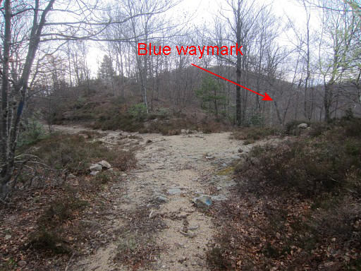 |
On this trail from Pla de la Muga NNE to the dirtroad, there's at one point |
 |
a shortcut to the right (blue waymarked) descending directly through the forest to |
 |
the
dirtroad. If you miss it, no problem but it will save you a few hundred meters. |
 |
On my way to Col de les Maçanes, I have to stop for a while when heavy rain and hail start and the lightning comes nearer. |
 |
Back at Col de les Maçanes. I want to redo bm524 and 525, trying to figure out a neat route to bm524 and then to bm525. |
 |
Well: this is my route: At the path going SEE from the open space of Col de les Maçanes, you will spot two birch trees at its right side. Just before the first birch tree, a faint trail enters the 'field' to the right |
 |
ands winds 50m through the blackberry and broom to reach
bm524 |
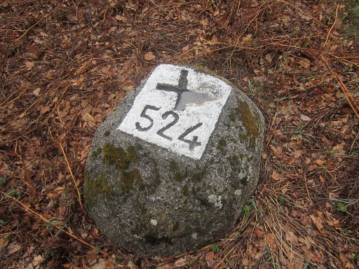 |
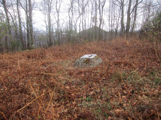
Bm524 |
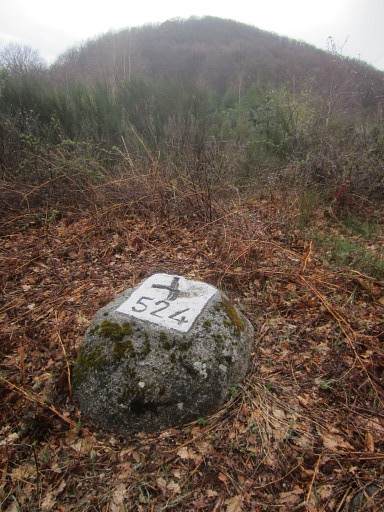 |
Bm524, looking west |
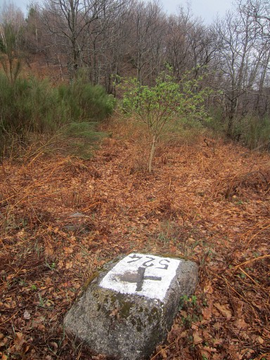 |
Bm524, looking E to the hilltop which is the start of the hillridge which will bring you to bm524 But first proceed 10m beyond bm524 (=S) to the fence, climb through it and |
 |
then go left towards the hilltop E (± 125m distance). Some faint trails might help you to climb it but wayfinding is straightforward. |
 |
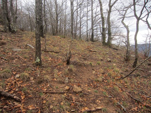
That hilltop - as said - is the beginning of a sort of ridge, going SEE. A faint trail will help you along. That ridge first climbs very gently for 100m to a second hilltop. That's about here. And then the ridge slowly descends, bending from SEE to SE (this is important, otherwise you might continue NE to another hilltop in the distance) |
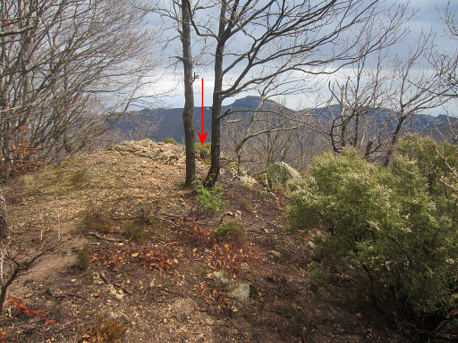 |
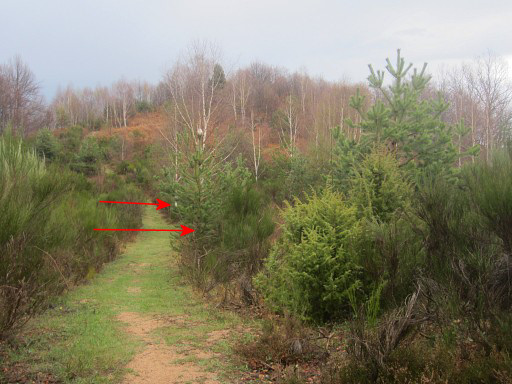
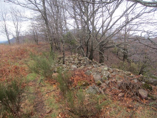
to
reach in 100m a lower - rocky -hilltop. That's the end of the ridge and that's where (red arrow) bm525 can be found. |
 |
Bm525 is engraved at the W-side of it. |
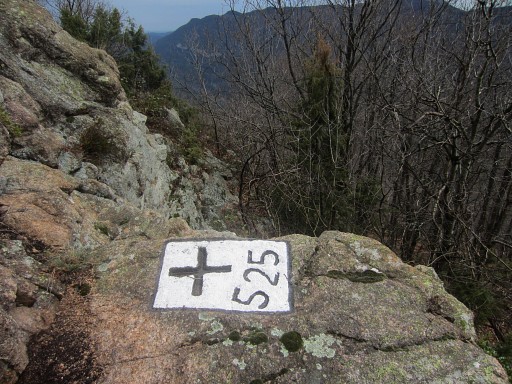 |
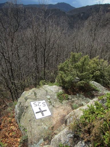
Bm525 |
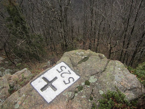 |
Bm525 |
 |
I rewalk the trail and clean it up, cutting any blackberry which annoys me (and there's a lot of them). In between: this view towards the Falgo golf. |
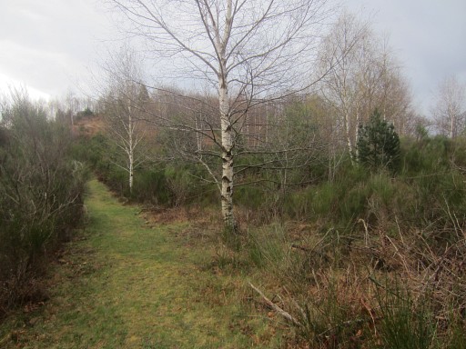 |
Back
at trail coming from Col de les Maçanes with the two birch trees. As
said before: just before the first birch tree, a trail enters the field
to the right towards bm524 Then back to the car and St-Laurent-de-Cerdans. It's still rainy, so first some 'grand cafées crème' in the local cafe. At the camping - later on - it's dry and sunny. But the electricity and wifi have stopped, either by a thunderstrike, either by cutting it off for the weekend by the staff. |