|
The
bordermarkers of the Pyrenees : all my trips
|
|
| -
tuesday 27 may
2014 - Fallen trees  previous
trip next
trip previous
trip next
trip  |
 |
|
Summary: a one-week trip to the
Pyrenees with Jan-Willem, covering various
targets from the Atlantic ocean up to Llivia and including a meeting
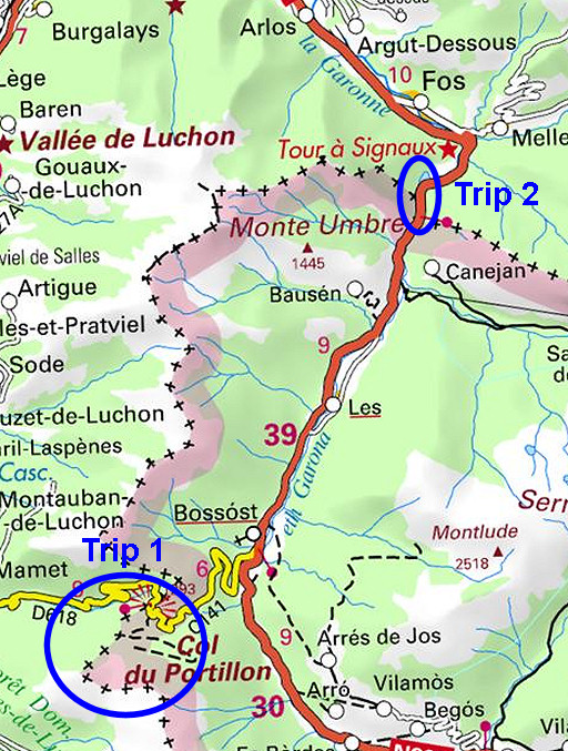
with 'Murgoi'. Today: two trips: - a trip from Col du Portillon to bm359 - redoing the French 409-submarkers near Pont du Roi Weather: cloudy, dry, fine |
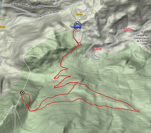 |
Trip 1 esfr-trip-track-20140527-trip1.kml (click to open this trip in Google Earth or copy link to Google Maps; click right on this link to download gpx-version) A trip from Col du Portillon to bm359. Our original plan was to start from 358, using a rope to measure the distance from bm358. That distance should be 330m according to the treaty. But due to lack of time and the knowledge that both Jean Sermet and Charles Darrieu did that before, we skipped that plan. |
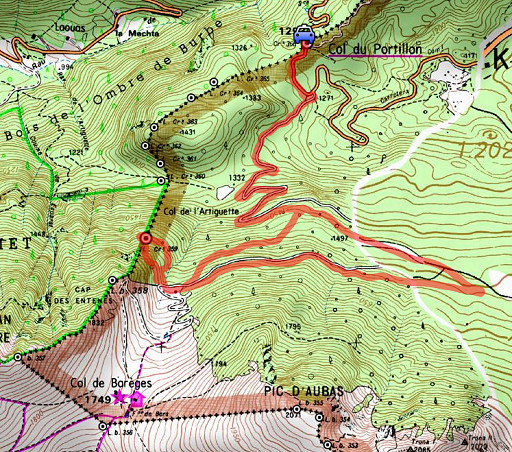 |
For
explanation of
the gps-coordinates and other cartographic backgrounds: see the cartography-page Start:11.00, no break:, finish:17h, net walking time: 6h According to the gps-tripteller Distance: 12,5 km Total ascent:464m Total denivellation: 928m Maximum height: 1616m Total time: 6.06h |
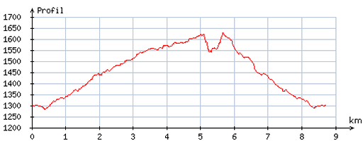 |
According
to visugpx - distance : 8,8 km - cum. elevation gain : 407m - cum. elevation loss : 413m - total elevation: 820m - altitude maxi : 1629m - altitude mini : 1283m - altitude average : 1452m |
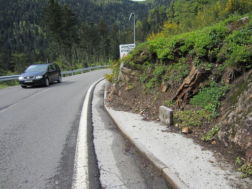 |
From Col du Portillon we walk down the road into Spain until the dirtroad to the right, leading to Col de Barèges. We spot two of the unnumbered F/E-markers |
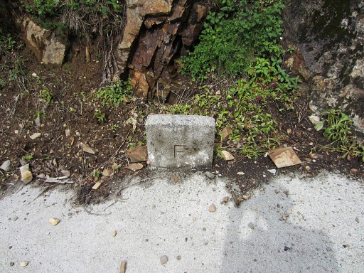 |
Close-up |
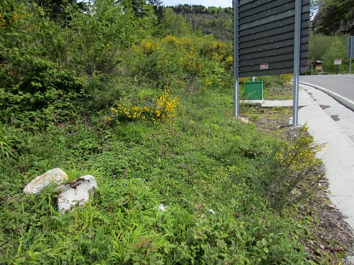 |
The second one. There are more of these submarkers marking the border between bm465 and 466. |
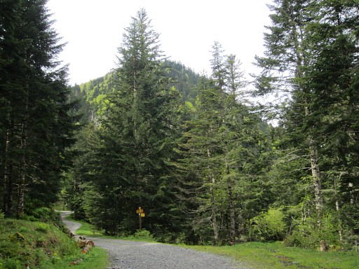 |
Up the dirtroad. At the yellow signpost you can take a trail to the right towards bm360. |
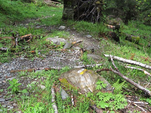 |
We take it easy and climb uphill using the dirtroad-lacets. But there's also a trail (yellow/white waymarked and with other signs like signposts and cairns) which shortcuts the lacelets. |
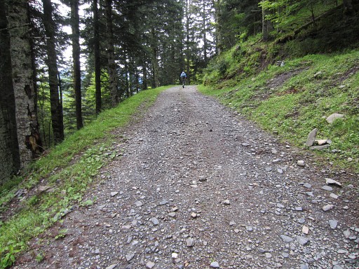 |
You might as well drive uphill until the parking, I think a normal car can handle that easily. |
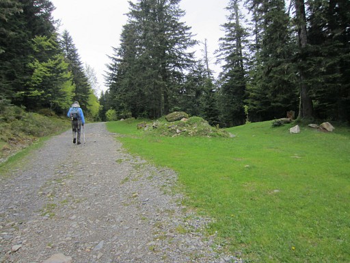 |
This stretch of grass might be a perfect bivouac-spot, water is not far away. But where is it? |
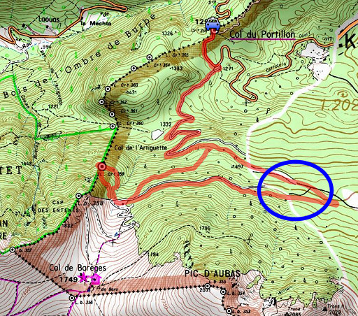 |
Well, about in the circle. |
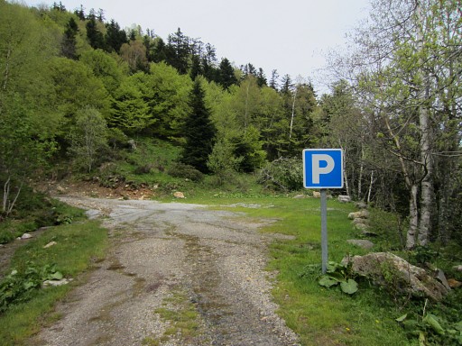 |
At the parking (E and down below of bm358) we take a break and then enter the forest, |
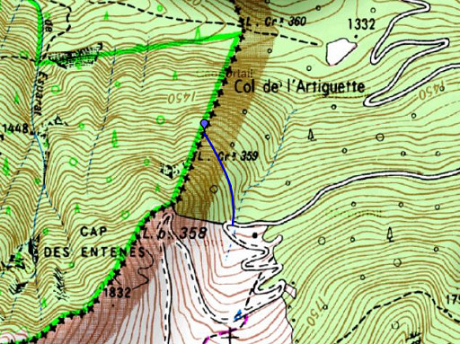 |
We want to try a direct route from the parking to bm359 using the gps. |
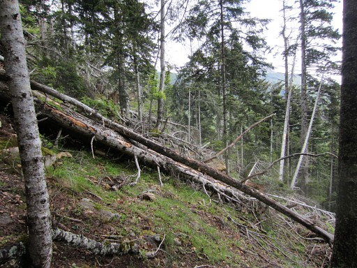 |
However: soon we are blocked by fallen trees. |
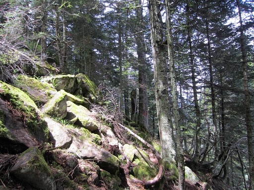 |
We make a detour above them but that results later in a difficult and steep and slow descent towards bm359. |
 |
At
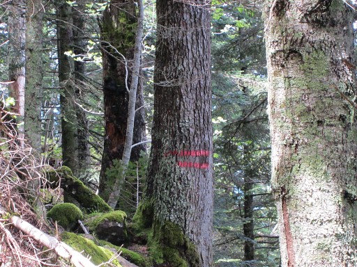
one point we spot the double red stripes. These are the signs of the
divisoria: bordermarkers used by foresters. There also double
blue ones. We know that the supposed bm359 is close to this divisoria-line so we are getting near. But how was this divisoria-line established? Is it just a rough line between bm358 and bm360? Can it change/shift in the course of the years? Did the foresters know of the existance of the bm359-cross or were they the engravers? There are two similar crosses near bm363 and bm366. |
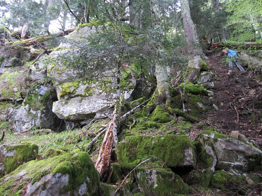 |
Finally we are at the top of the large rectangular rockwall which is our goal. Jan-Willem is carefully descending Without a gps, finding bm359 requires a lot of luck though the large rectangular rockface itself is a striking one and unique on this hillside. |
Let's show it on this panorama.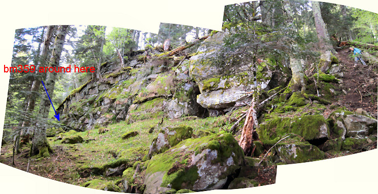 |
|
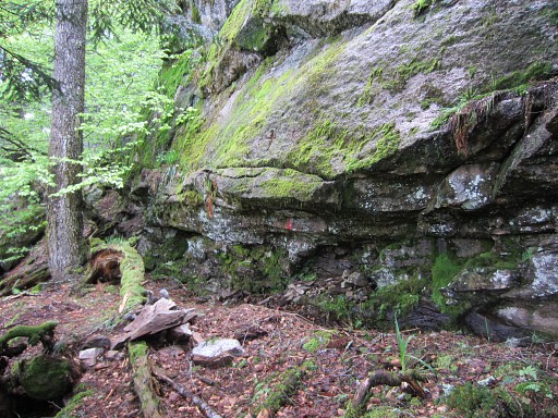 |
Now we are at the spot of the cross. The paint of the supposedly bm359 is weathered away. |
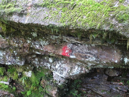 |
Note the red dot underneath the cross |
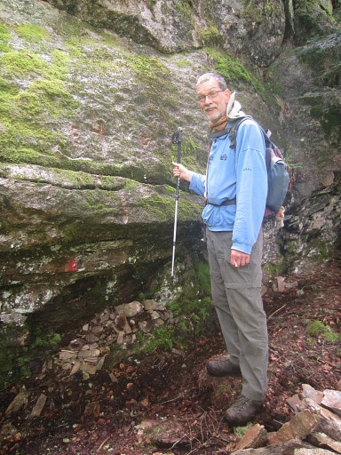 |
Jan-Willem shows that the cross is at a perfect height for engraving, |
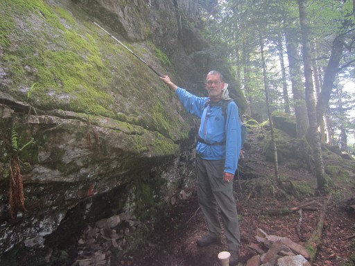 |
whereas the cross which should have been 1m above this cross is unlikely high. |
| We look around, shrape
moss off the rockface with a metallic brush but don't find any other
marker or sign. By the way, this has all been done before by Charles and Josette Darrieu and I know their systematic and thoroughly approach. |
|
| Back to the spot ± 1m above the cross. |
|
| From one angle you might distinguish a sort of cross but it's all too vague. From other angles, there's nothing to see. |
|
| Overview of cross, the E and F and the red paintings. |
|
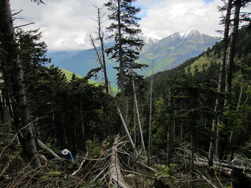
| A view down the hillside. It's steep but to be honest, not much steeper then the hillside above. Perhaps it's possible to descend directly to bm360. |
|
 |
Then
- it's already 15.00 - we return to the dirtroad, now more in a
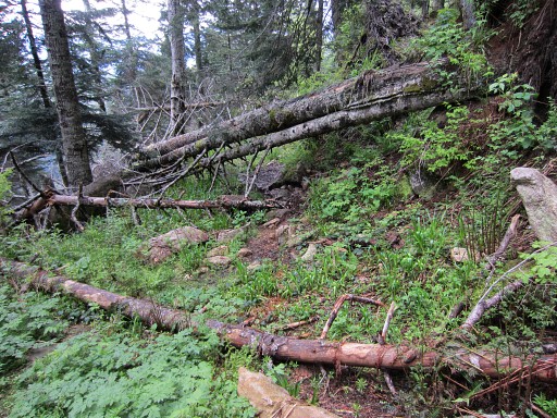
straight line. That means: through the field of fallen trees, finding by trial and error our way, helped by game trails through them. |
 |
Then
back to the car. I try one of the shortcuts of the lacelets (shortcutting the long lacelet) but that will save you only a few minutes (Jan-Willem took the dirtroad as a comparison). And again: fallen trees frustrating quick progress. I've had enough of fallen trees today. My advice: take it easy and take the dirtroad. |
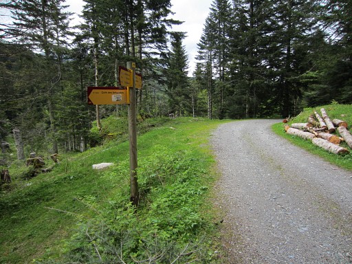 |
Again the signpost pointing to the left to the trail which will bring you to bm360. |
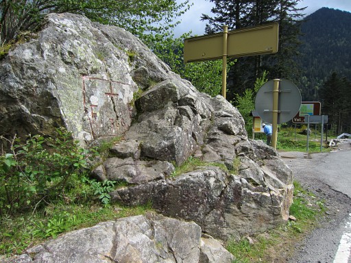 |
Back at Col du Portillon with bm366. |
 |
Robert
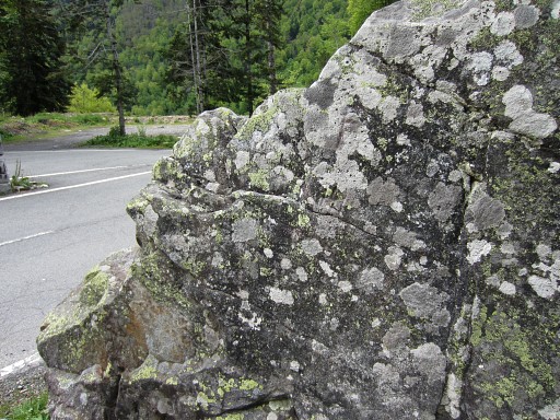
Darrieumerlou has been recently here and he spotted a cross and the
letters F and E (he thinks) at the S-side of the rock of bm366. |
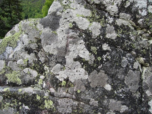 |
Clsoe-up |
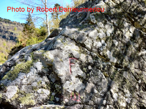 |
And this is the picture of Robert himself. Check it for yourself on his website. |
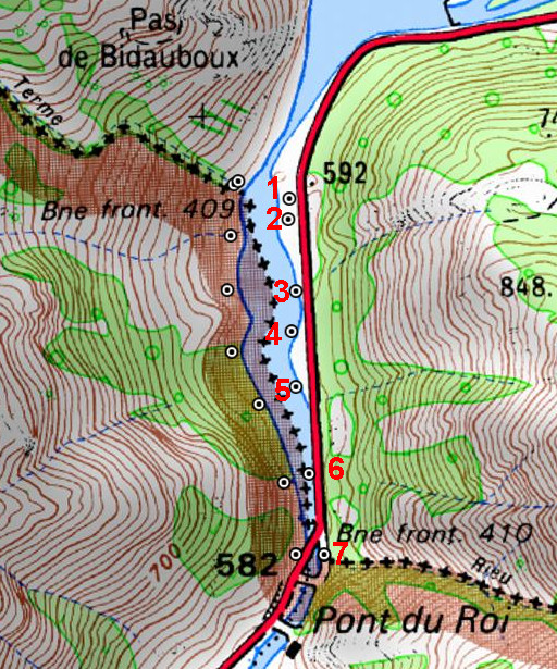 |
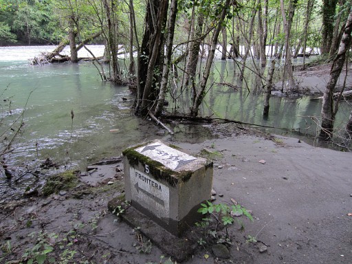
Trip 2 Driving to Pont du Roi to redo the seven 409-submarkers on the French bank of the Garonne. Jacques Koleck wrote me that due to the Garonne-floodings of 2013, the course of this river has shifted towards the road, endangering nr. 3 and 6. There's also a range of 7 submarkers on the Spanish bank of the Garonne. These 14 submarkers were placed when the barrage was built, flooding the banks of the Garonne. They indicate with arrows and distances the real borderline in the middle of the original Garonne-watercourse. |
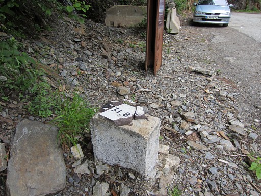 |
First we discover that nr. 7 is damaged: it's ceramic cover has been smashed. |
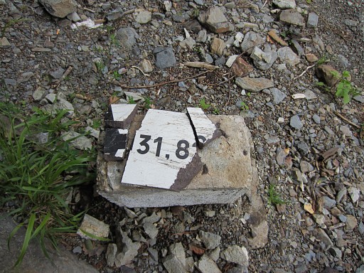 |
'Le désir de détruire' (the desire to destroy) has a new victim. |
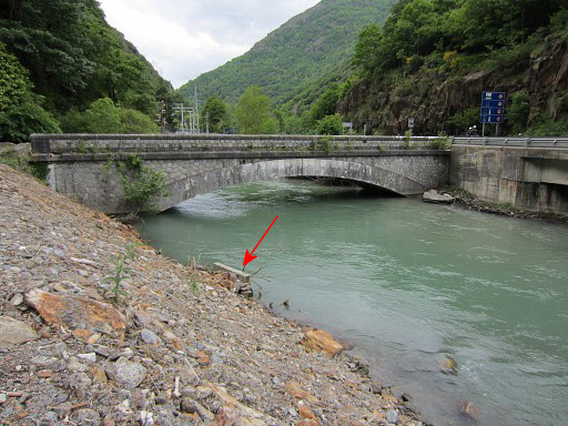 |
A view of the old Pont du Roi. To the right a glimpse of the new bridge. The arrow: where the stream coming from the steep hillside from bm411 merges with the Garonne. |
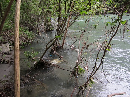 |
Then looking for nr. 6. Number 6 is indeed slightly under water. |
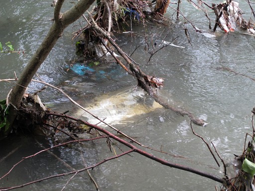 |
Close-up |
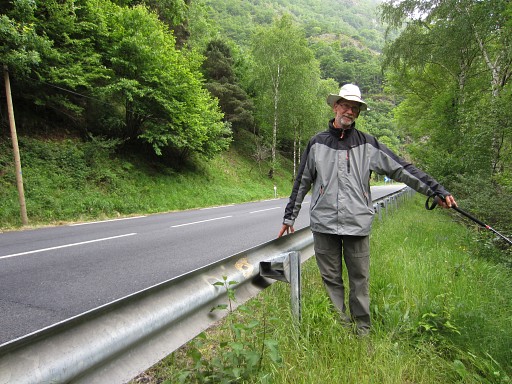 |
How to locate this submarker? Jan-Willem is pointing towards it but |
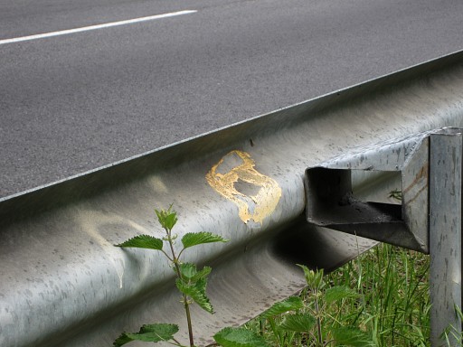 |
there
is also a nice discovery: the locations of all these submarkers on the
French side are indicated by painted yellow numbers (though weathered)
on the side-rail! There's one exception: nr. 4, see further-on. |
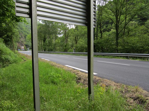 |
Another
hint: from this sign-board it's one straight line via Jan-Willem
(hardly visible at the other side of the road) to nr. 6. |
 |
Nr. 5: easy to spot from the road and just before a parking spot. |
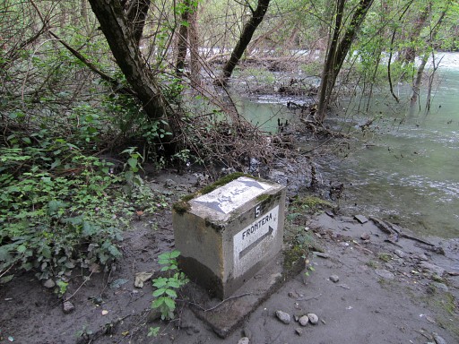 |
Nr. 5 |
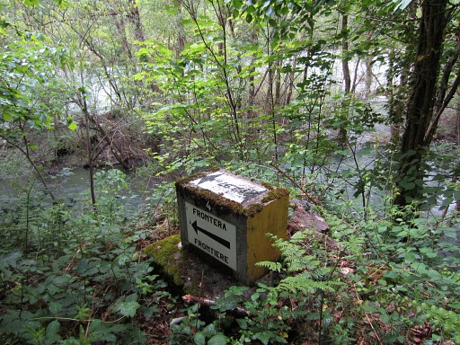 |
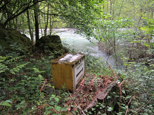
Nr. 4 is bit more difficult to find. |
|
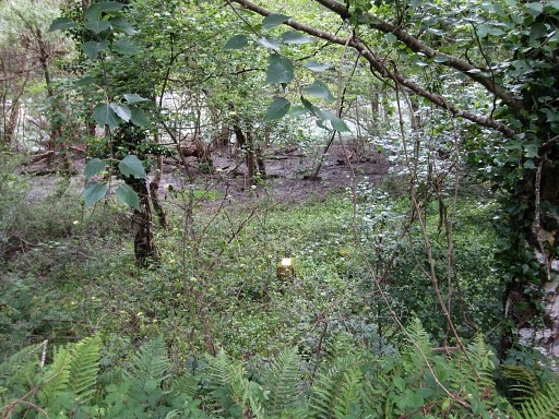
From the parking spot (next to nr. 5) enter the bush along the road. It's closer to the road than the river with a sort of gully in between. |
 |
We skip nr. 3 and first go for nr. 2, visible from the roadside. |
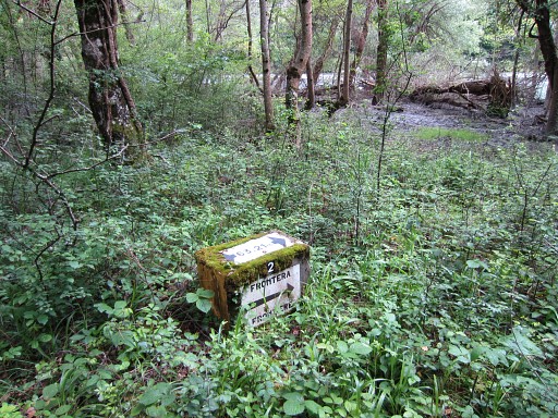 |
Nr. 2 |
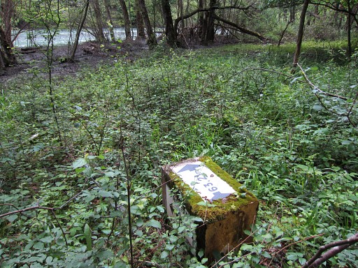 |
Nr. 2 |
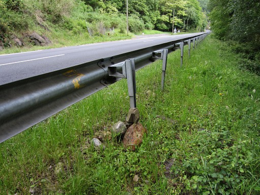 |
Note the painted nr. 2 and the cairn |
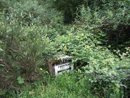 |
Then nr. 1, almost overgrown. |
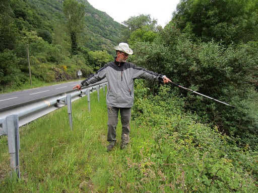 |
And again: a painted nr. 1 at the side-rail. Jan-Willem points to the bm. |
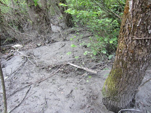 |
Then returning and searching for nr. 3, reportedly covered by mud. We know the tric by now: find first the painted sign at the side-rail, then descend. Not much to see at this picture but |
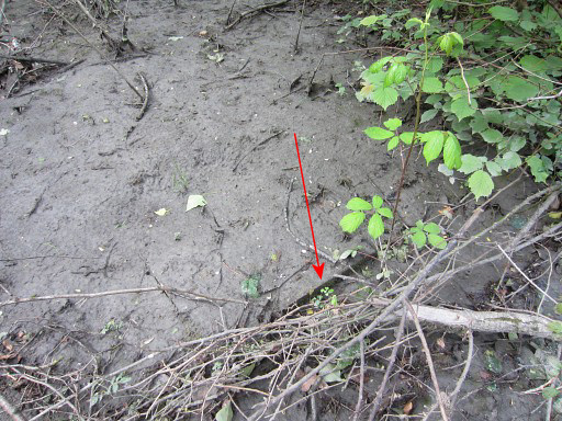 |
after some pricking with my walking stick I can locate nr. 3. You can see the edge of the bordermarker. |
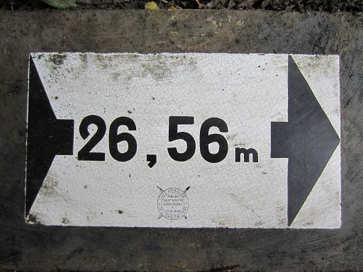 |
Cleaning is then easy. |
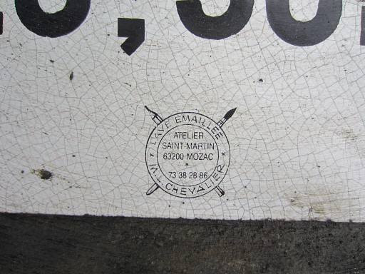 |
The atelier who made these ceramic plates still exists: this website |
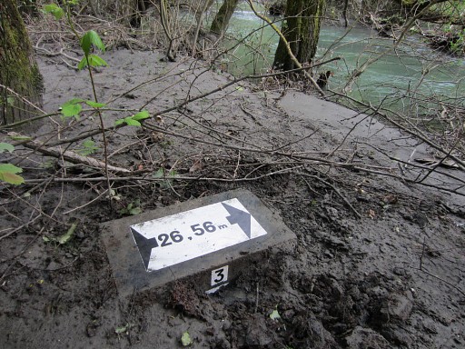 |
Nr. 3 |
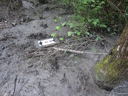 |
Nr. 3 |
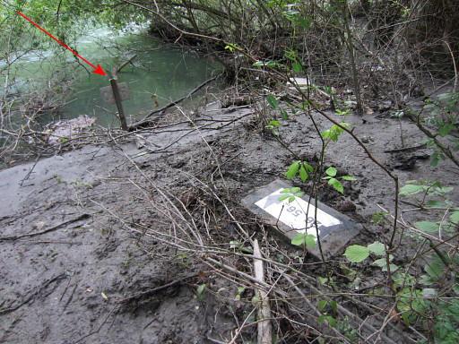 |
There's another hint to find nr. 3: the metal sign-post at the edge of the river. |
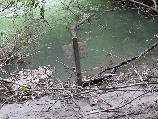 |
This one |
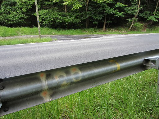 |
And this is the painted nr. 3 at the side-rail. That's the yellow number to the right, the nr. 20 indicates the metal sign-post. |
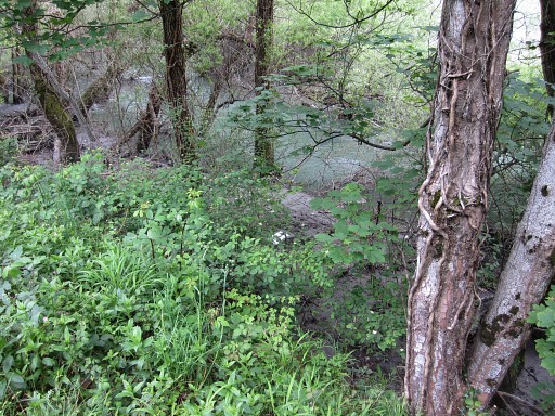 |
A last view of nr.3, seen from above. |
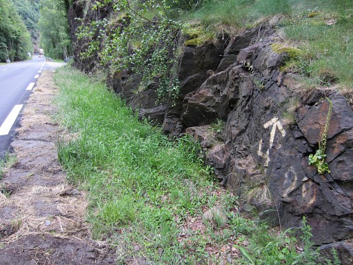 |
Further on - going back to Point du Roi - there's no side-rail but now an arrow and nr. 4 points to the location of nr. 4. |
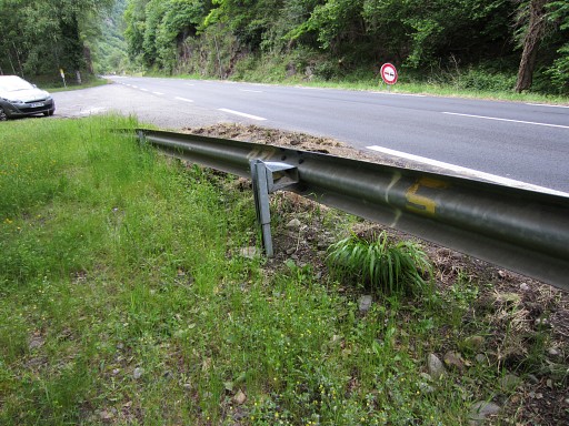 |
And here is nr. 5 painted. |
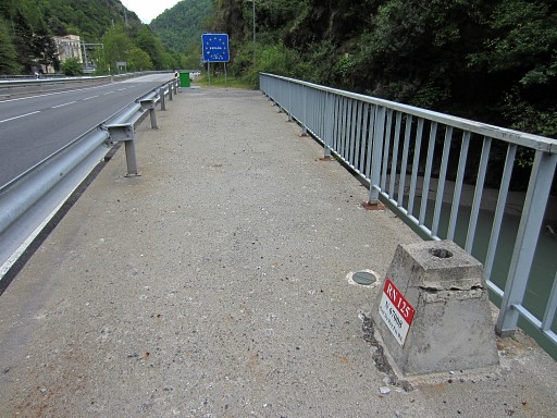 |
We are back at the bridges, we're looking towards Spain. This is the new bridge which also carries some (unnumbered) bordermarkers. |
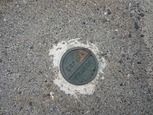 |
This one |
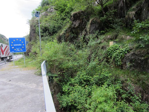 |
At the end of the bridge we can spot the last submarker (nr. 7) of the Spanish range. |
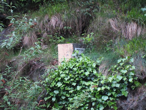 |
Close-up of nr. 7 on the Spanish side. |
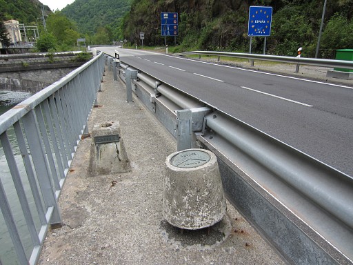 |
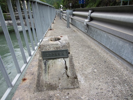
On the other side of the bridge - still looking towards Spain - the other marker. |
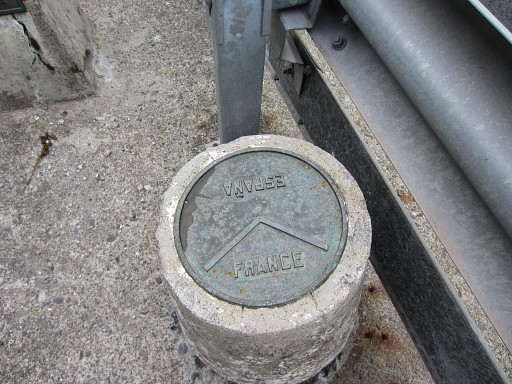 |
This one |
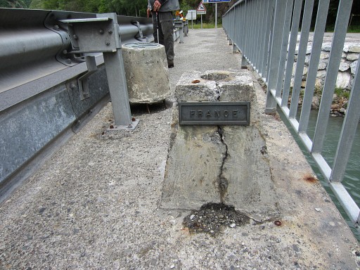 |
Apparently this used to be the base for a flagpost or likewise. |
 |
Now from the other side. |
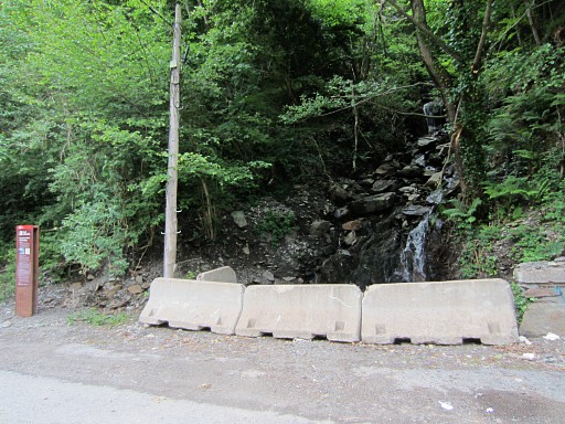 |
And
finally a picture of where the borderstream coming from bm411 dives
underneath the road to merge with the Garonne at the other side. |
 previous
trip next
trip previous
trip next
trip  |
|
