|
The
bordermarkers of the Pyrenees : all my trips
|
|
| - tuesday 9 september
2014 - Climbing the Puigmal  previous
trip next
trip previous
trip next
trip 
|
 |
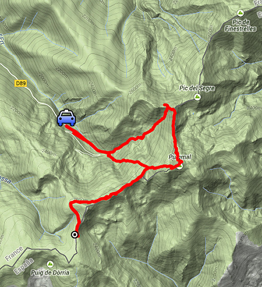 |
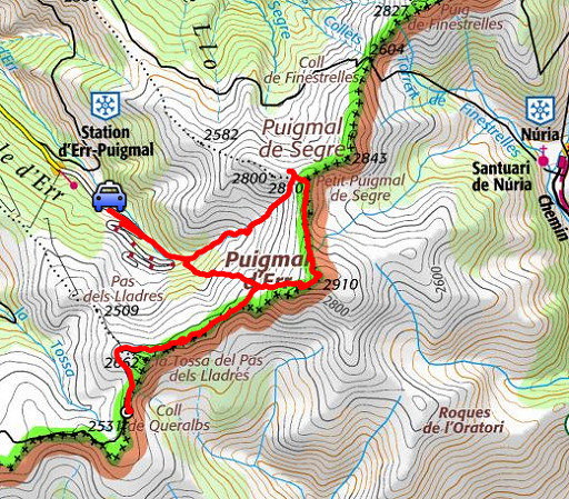
esfr-trip-track-20140909.kml (click to open this trip in Google Earth or copy link to Google Maps; click right on this link to download gpx-version) Summary: part of a 2-weeks trip along the entire Pyrenees, focussing on high altitude reconnaissance of parts of my GRPdesBF-trail. Today: a climb from the ski-station of Puigmal Err to the (border)ridge between Petit Puigmal de Segre and bm506, including the summit of the Puigmal. Basecamp: camping Las Closas in Err Weather: sunny, later getting overcast |
 |
For
explanation of
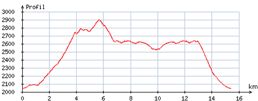
the gps-coordinates and other cartographic backgrounds: see the cartography-page Start: 9.45, finish: 15.15, net walking time: 5.30h According to the gps-tripteller: Distance: 16,0 km Total ascent: 1089m Total denivellation: 2178m Maximum height: 2896m Total time: 5.20h |
 |
According
to visugpx - distance : 15,7 km - cum. elevation gain : 1042m - cum. elevation loss : 1039m - total elevation: 2081m - altitude maxi : 2900m - altitude mini : 2040m - altitude average : 2555m |
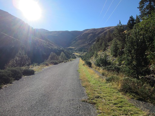 |
I park my car close to the ski station of Puigmal Err and walk the remainder of the road. Then I start climbing NE, after some trial and error and doubts about which route to take uphill. |
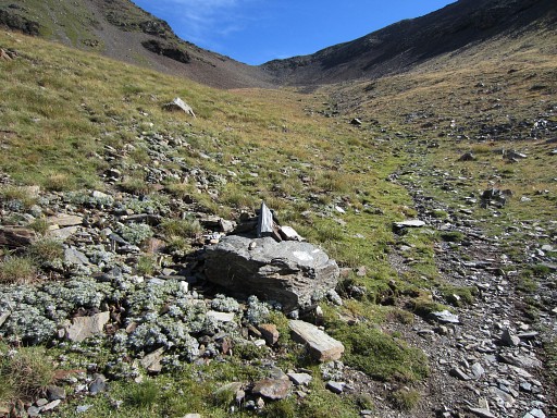 |
I choose a yellow trail NE uphill - along a stream - which brings me steeply and unexpectedly |
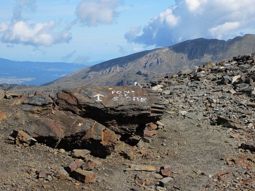 |
to a pass between Puigmal de Llo and the Petit Puigmal de Segre. At this pass, this waysign is pointing to a source which |
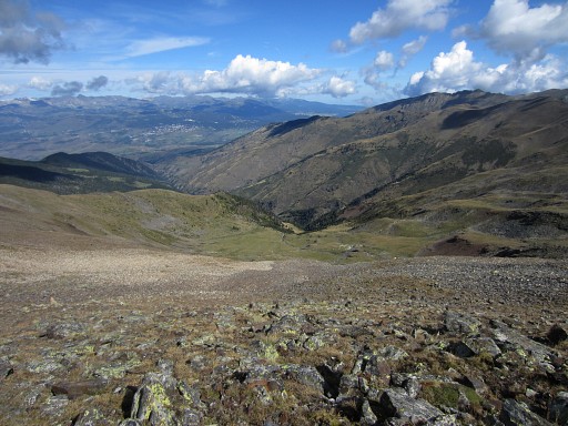 |
must be somewhere in the valley, just
descending N until you reach the trail which climbs NE to Coll de
Finistrellas. That's an elevation descent of ± 350m. That's where the "font de Segre" is. An "abri" (=shelter) is nearby according to the French IGN-map but I couldn't find any photographic evidence for it on the internet. Anyway: this Font the Segre might be a good opportunity to refill you waterbottles and to bivouac. The trail will bring nicely to Coll de Finistrelles (bm507) where you can continue with the GRPdesBF. |
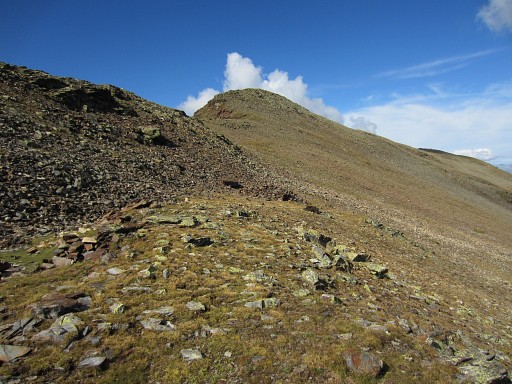 |
This is a view to the Puigmal de Llo
to the W. But I have to go E to do a modest climb to Petit Puigmal de
Segre and then I'm at the borderline. |
 |
|
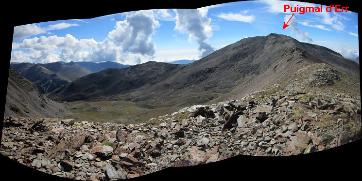
| This
panorama is approximately taken from the Petit Puigmal de Segre. It
shows the ridge S to the Puigmal (=Puigmal d'Err, the highest summit is
this range of summits). Another feature: the green valley with streams and flat terrain to the SEE. However, as an overnight stop on the GRPdesBF for a bivouac and water refill, that vally is not that interesting. It needs an elevation descent of ± 250 from the Puigmal d'Err to get there which is not too bad. But to get back on the borderline, you have to return on the same trail to Puigmal d'Err. In that case - when needing a bivouac-spot and water supply -it's more convenient (as mentioned above) to continue from Puigmal d'Err to the Petit Puigmail de Segre. Then descend W to the saddle between Petit Puigmal de Segre and Puigmal de Llo. Then descend N into the valley to Font de Segre. From there - after water refill and/or bivouac - a trail wil bring you to Coll de Finistrelles (bm507) and on the GRPdesBF again. |
|
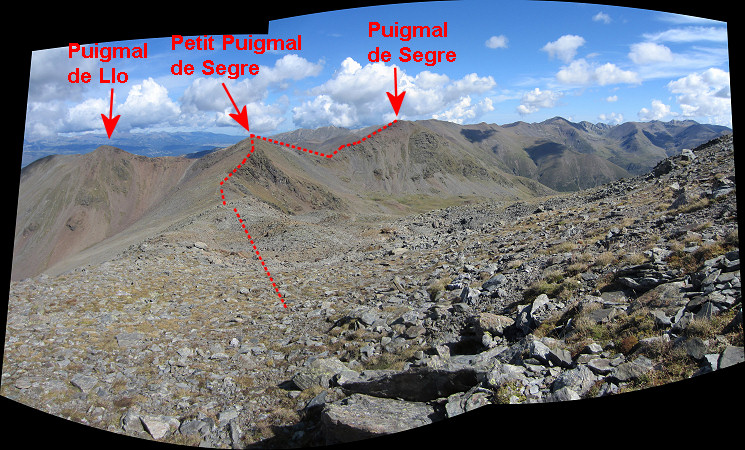 I climb S along the ridge to the Puigmal d'Err. All trails here are well, the Puigmal is a popular daytrip-destination. Not far away from that summit I look back. The red line is the borderline . |
|
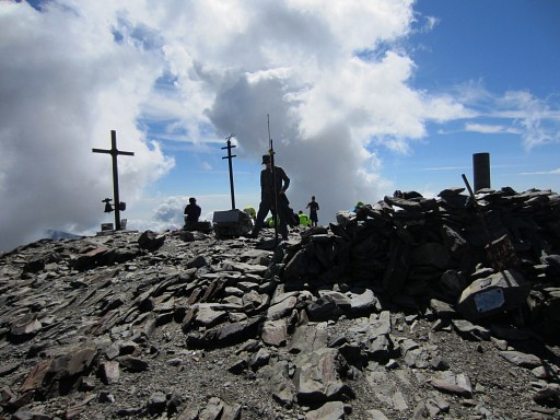 |
On the summit, there are more visitors, even mountain-bikers. |
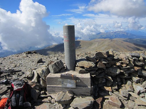 |
A geodetic marker. |
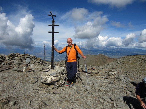 |
And myself. |
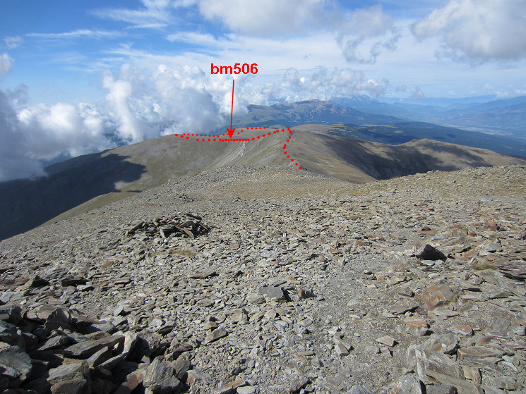 Then continuing to the W. In the far distance, we can still distinguish the borderline.
|
|
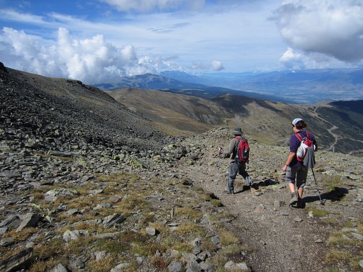 |
The main trail leaves the ridge soon and continues parallel of the ridge. |
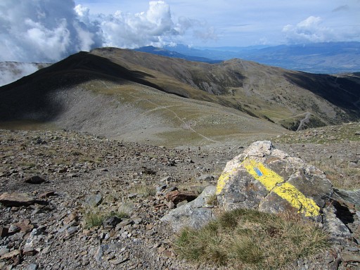 |
- passing various waymarks - |
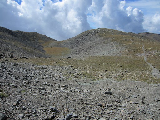 |
until it arrives at the rim of a sort of bowl. |
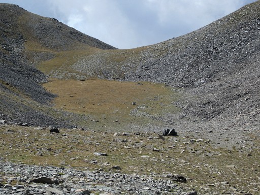 |
I spotted that already on Google Earth and estimated it as a potential bivouac spot. And it is: flat and sheltered against the wind. But: no water here. Altitude: ± 2650m. |
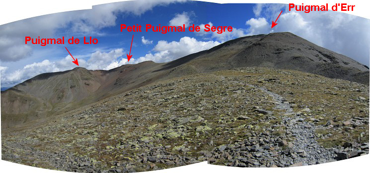 I'm a bit further now and look back once again. |
|
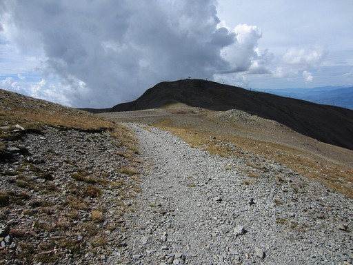 |
Then continuing to bm506. |
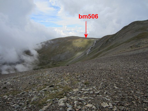 |
Goal: to have a
look into the valley to the E of bm506 where a 'Font del carrabiners” is indicated on the maps and the
terrain might be suitable for a bivouac. This is a first look into that valley |
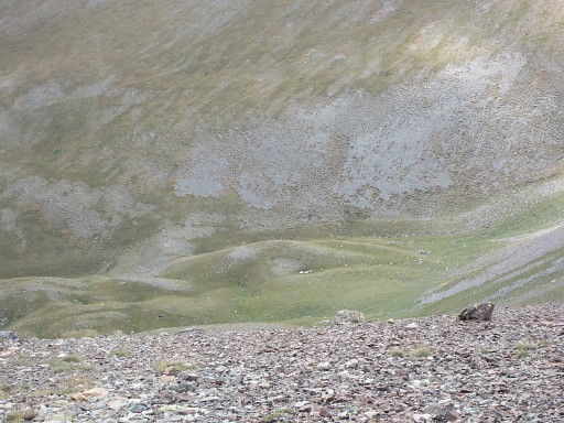 |
with this zoom-in. Flat and green enough, it seems. |
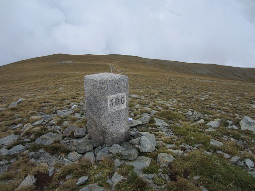 |
After curving around the summit of 'Tossa del Pas dels Lladres', the trail/dirtroad arrives at bm506. This picture: looking S |
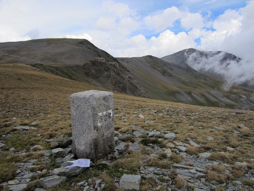 |
Bm506 This picture: looking N, the Puigmal visible to the right. |
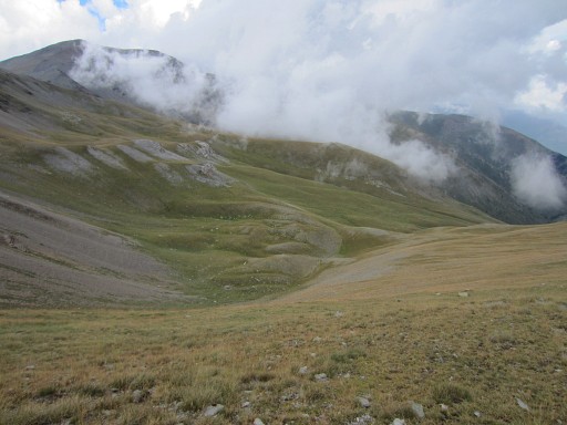 |
From bm508 a new look into the valley. If we zoom in and compare the image with Google Earth and the maps, we can establish the spot of the source. |
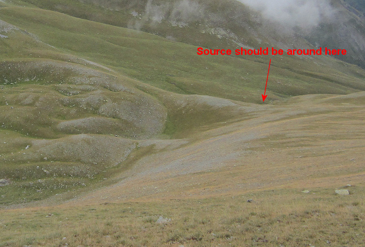 Descending to this green and 'flat' area takes an elevation descent of ± 200m. A suitable place for a bivouac seems no problem there. If the source is running all season, we don't know. If no, you have to descend further along the streambed. |
|
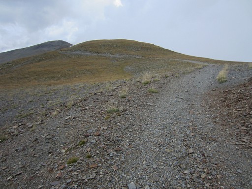 |
Enough exploring for today. I walk back to the 'bowl', a bit worried about gathering clouds. The dirtroad provides easy walking. |
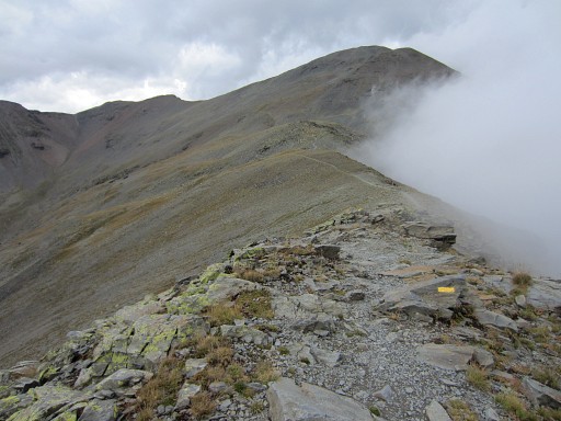 |
Further on, the dirtroad becomes a trail but allways in well shape and well waymarked. |
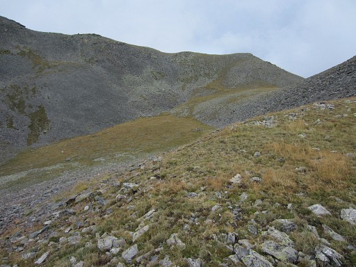
|
Back at the 'bowl'. |
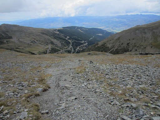
|
From the bowl, a trail descends to the ski-station, however only reaching a stream at the bottom. That means an elevation descent of ± 450m before reaching water. That's a bit too much for a nightly stopover or for refilling your waterbottles. Then driving back to my camping in Err where the long threatening thunderstorm finally starts. |
previous
trip next
trip  |
|
