|
The
bordermarkers of the Pyrenees : all my trips
 |
|
| - thursday 11 september
2014 - Can d'Amunt revisited |
 |
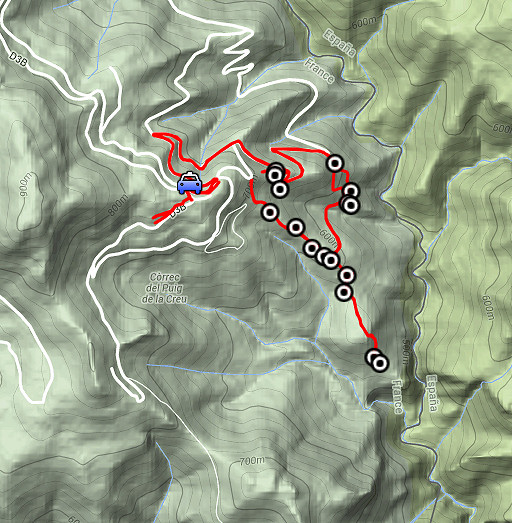 |
esfr-trip-track-20140911.kml (click to open this trip in Google Earth or copy link to Google Maps; click right on this link to download gpx-version) Summary: part of a 2-weeks trip along the entire Pyrenees, focussing on high altitude reconnaissance of parts of my GRPdesBF-trail. Today: once again a reconnaissance of the forest-trails beneath Can d'Amunt. How to navigate from bm542 to Can d'Amunt, especially from the upper end of the long grassy strip until the dirtroad? Answer: it's not easy. Weather: sunny |
 |
For
explanation of
the gps-coordinates and other cartographic backgrounds: see the cartography-page The waypoints (black-white circles) on this map are all hunter's posts and likewise, no bordermarkers. Start: 12.45, finish: 16h, net walking time: 3.15h According to the gps-tripteller: Distance: 8,5 km Total ascent: 458m Total denivellation: 916m Maximum height: 765m Total time: 3.16h |
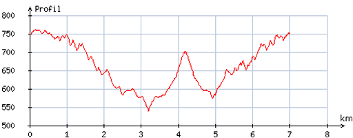 |
According
to visugpx - distance : 7,2 km - cum. elevation gain : 388m - cum. elevation loss : 388m - total elevation: 776m - altitude maxi : 760m - altitude mini : 538m - altitude average : 669m |
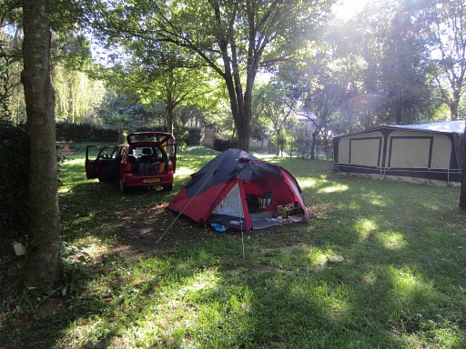 |
My basecamp for today: the camping municipal in St-Laurent-de-Cerdans. |
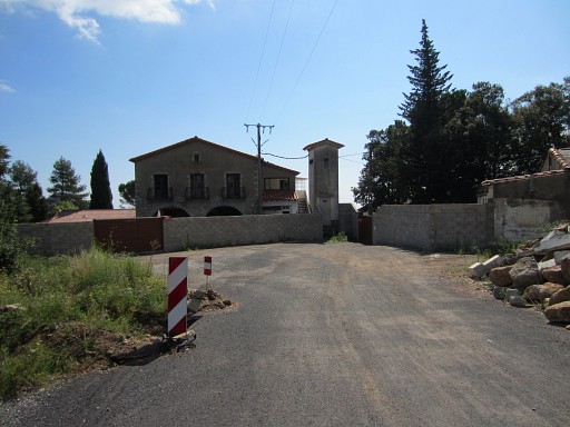 |
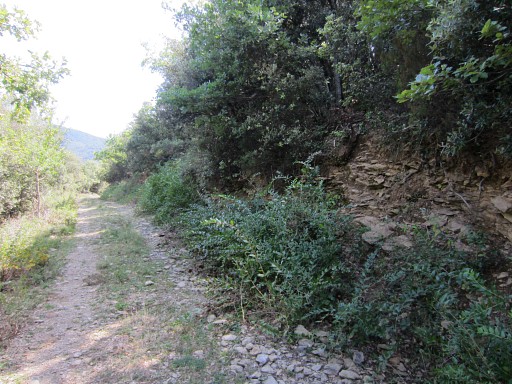
Driving to Can d'Amunt. A new feature surprises me: a recently built wall built around the little compound of houses and the former restaurant. |
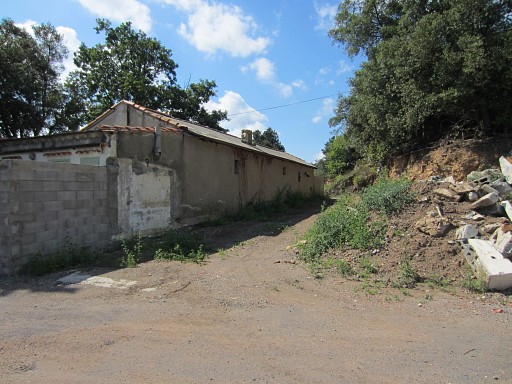 |
I check how to get on the trail towards bm540, the original access is now blocked. Well: the new access is behind this barn |
 |
and beyond it - at this point - you have to take the trail to the left (I put a cairn there). |
 |
I return and cross this "gate" which |
 |
gives access - though this sign says "private property - no entry" - to the dirtroads to the N-NE of Can d'Amunt. |
 |
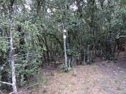
My goal: the entrance into the forest which was used by Jean Iglesias when he guided me to bm542 on 20090318 This picture: along the dirtroad a sort of entrance into the forest. It seems an entrance made by animals: let's call it the 'game entrance'. When climbing here S into the forest, you will soon reach a trail. I put a cairn there on 20140414 thinking this entrance provided a quicker acces towards bm542. I will check this again later today. |
 |
But first to the entrance of the 'route normal'. That's at the third sharp bend after the entrance above This picture: the first sharp bend. At 20140414 I took by misstake this entrance and that led to much confusion. In front of you: the trail which enters the forest further on. To the left: where the dirtroad makes a sharp bend to the left. |
 |
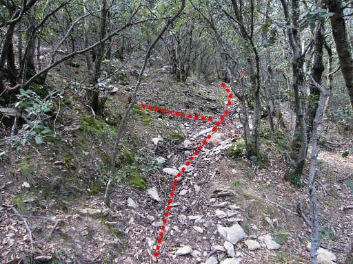
This
is the third sharp bend. In front of you, a trail enters the forest
while (but hardly visible on this picture) the dirtroad makes a sharp
bend to the left. Here I go straight on to enter the forest. This is the beginnin of the 'route normal' towards bm542 as shown by Jean Iglesias. |
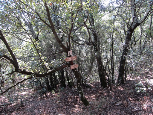 |
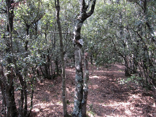
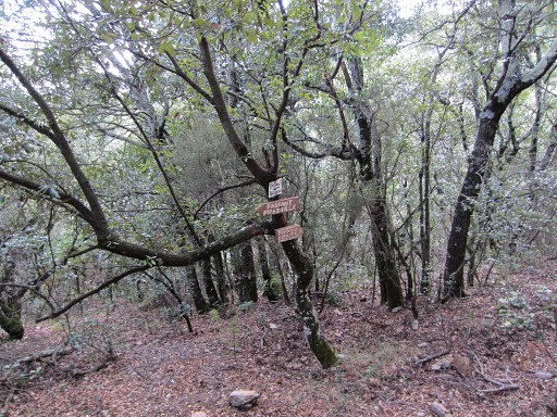
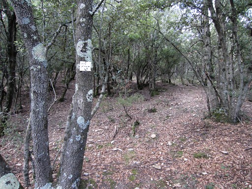
I have entered the forest and the
trail has brought me to this semi-open spot with these signs (pointing
to 'Passant Pradeille' and 'Porteills Estaçade Font Gabat') and |
 |
this small one pointing to Can d'Amon. This part of the 'route normal' - from the forest entrance to here - is crucial! Getting here from the forest entrance is quite easy: the trail goes roughly 100m S, then 50m E and 50m S. But returning from here to the forest entrance is not easy: the right trail leading back is not obvious. Remember: you have to go N first (50M), then go W for 50m and then head N for 100 m to arrive at the forest's entrance. |
 |
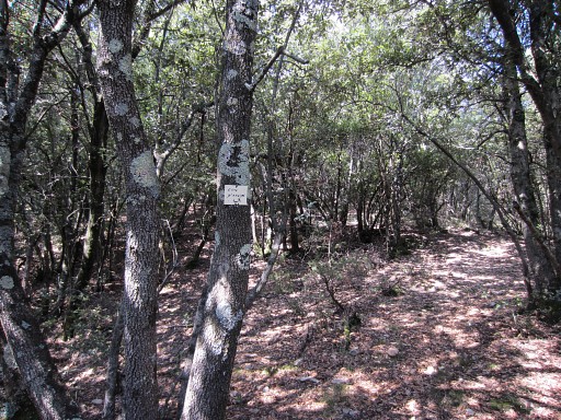
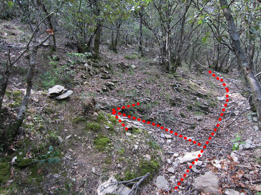
Anyway: from here towards bm542 the
trail is quite straightforward when keeping a close eye on trails and
painted waymarks. The trail first goes SWW, then SSE, then SW to arrive
after ± 275m at this spot. At this spot: a sign pointing to hunter's posts 9 and 10 to the NE Don't go in that direction but continue SE |
 |
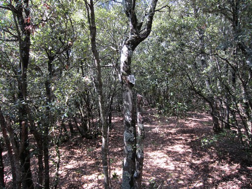
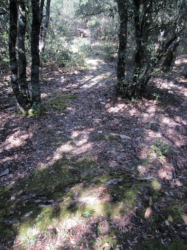
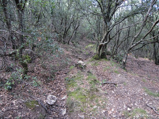
to arrive after ±75m at Post 8. Continue S-SSE The waymarking can sometimes be vague |
 |
but is quite prominent in this part |
 |
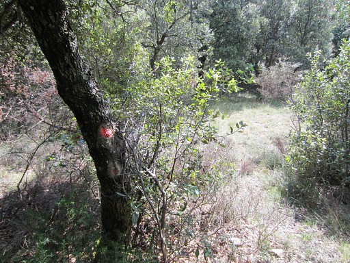
as these painted waymarks show. |
 |
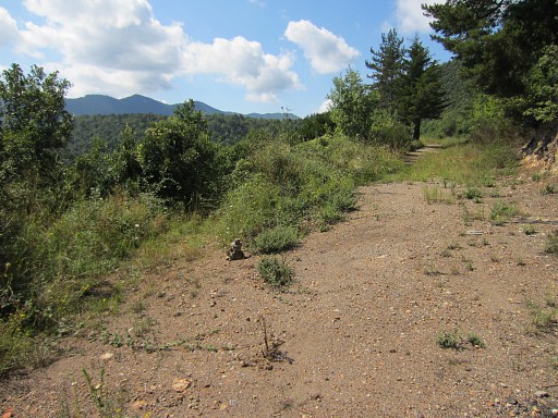
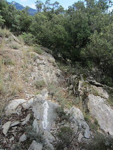
You will pass this viewpoint after ±250m from P8. |
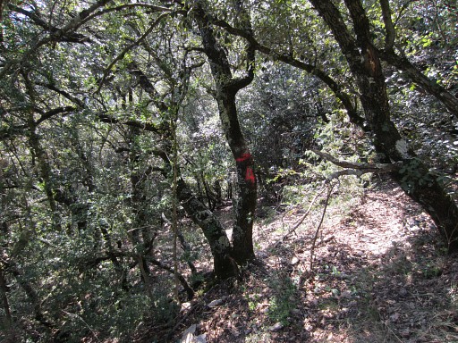 |
Shortly afterwards, the trail descends steeply, curving SE-S-SW. You might notice this Poste 4 but will anyhow |
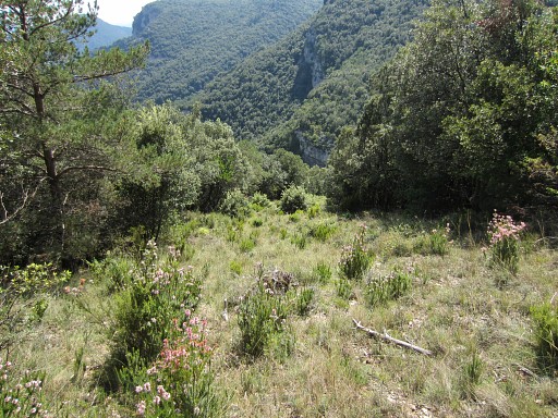 |
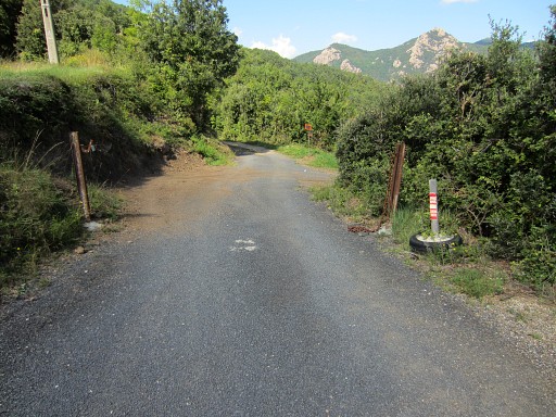
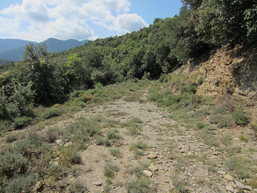
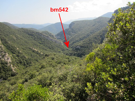
arrive at this upper end of a long open strip. At the lower end, you can descend on a trail SEE to the river Riu Major. The river will then bring you after 325m downstream to bm542. But I don't go that far, I return from here and try to describe the wayfinding from this strip up to the entrance of the forest. |
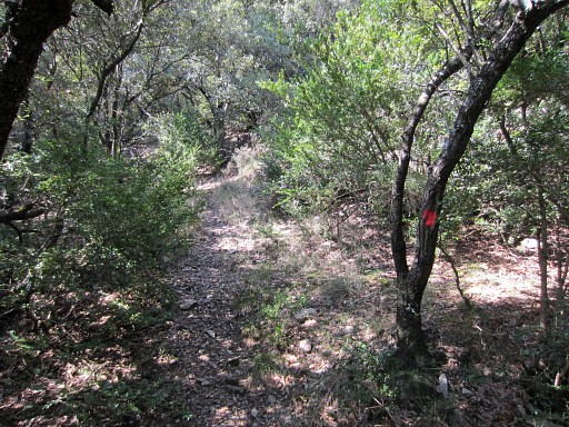 |
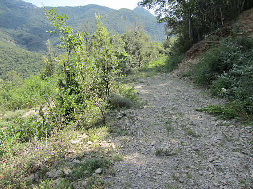
So: from the upper end of the open strip: go straight on, following a trail with fluorescent red waymarking. It soon makes a curved steep climb, going NE-N-NW. Then the trail continues NNW, climbing more gently. |
 |
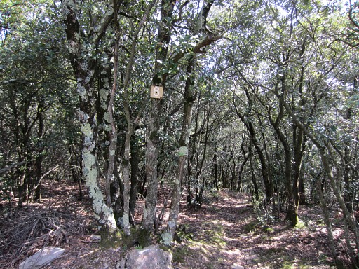
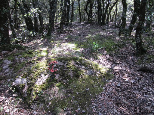
Be attentive not to miss the red waymarks. At some point they are succeeded with vague white waymarking. In general, you should be able to find along the trails the following hunter's posts or signs to it: - Poste 8 (see picture above) and |
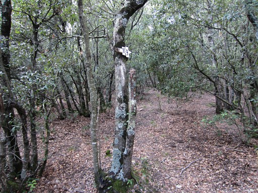 |
- Sign to Post10-9 (this picture). At this spot you have to turn NE (= going to the right) to continue on the 'route normal' towards the entrance. Don't go to Poste 9 and 10. |
 |
But now I want to explore (again) the trail going NW to and beyond Poste 9-10. Perhaps there is a more direct route to Can d'Amunt. This picture: having arrived at Poste 10 |
 |
Beyond Poste 10, the trail continues for ± 100m to arrive here: a junction with a trail coming from the left. . |
 |
More in detail, I go left here and |
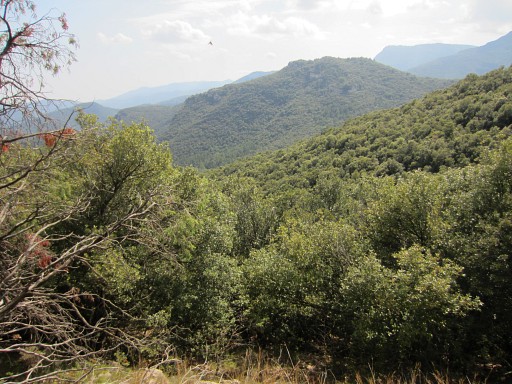 |
climb along a sort of ridge with this open view |
|
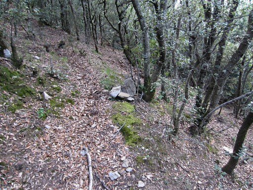
and arrive at this trail/gully. I was here in april on 20140414. I continue on this trail which a bit further climbs in a few zigzags uphill, then continues until it gets overgrown. Then you're quite close to Can d'Amunt if we examine the gps-track on the maps. In my memory I could from there (where the gully gets overgrown) easily descend N through the forest to the dirtroad, that dirtroad already being visible. I marked it with a cairn along the gully. But there's no cairn now and I cannot spot the dirtroad. I'm confused. |
|
I return. This is the ridge with the open view. Note the white waymarking. |
|
And here I am back at the signs pointing to Poste 10-9. As said before, at this spot you have to go NE (= going to the right when arrriving from Poste 8)) to continue on the 'route normal' towards the forest entrance. |
|
Now I'm back at 'Passant Pradeille' but I can't
find back the trail that brough me here from the entrance in the forest. There is one going NE but that one fades away. Finally I use my gps and climb through the forest to the entrance. |
|
So: returning from here to the forest entrance is not easy: the right trail is not obvious from here. But the trail is there and starts to the N, perhaps in the direction of this little sign pointing to "Can d'Amon" (I can't remember) Anyway: you have to go N first (50M), then go W for 50m and then head N for 100 m to arrive at the forest's entrance. |
|
From the forest's entrance, I return along the dirtroad until the first entrance: the 'game entrance' A short climb S brings me to this trail where I erected this cairn at 20140414 But this is not the trail/gully which I reached earlier today. That one is ± 100m uphill to the SW. Conclusion: the 'game entrance' is not a suitable alternative for the "route normal". BUT: after studying maps and google earth, there is a connection still to be checked. |
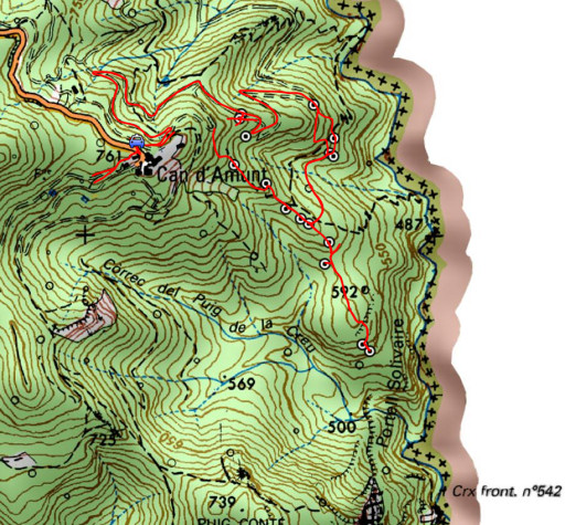
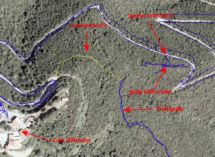 The yellow dotted line follows an old trail which we can spot on Google Earth |
|
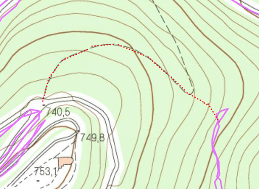 |
And let's show that possible connection on the ICC-map. |