|
The
bordermarkers of the Pyrenees : all my trips
|
|
| - thursday 10 september
2015 - Entering Andorra  previous
trip next
trip previous
trip next
trip 
|
 |
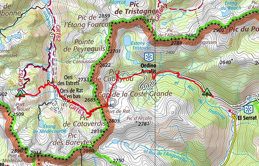 |
track-20150910.kml (click to open this trip in Google Earth or copy link to Google Maps; click right on this link to download gpx-version Summary: part of a 10-days trip to the Pyrenees, mainly meant as a reconnaissance for the GRPdesBf. This day is one of a week of backpacking from Guzet-Neige to Puigcerdą, traversing Andorra. Today: crossing the Port de Rat and entering Andorra. Weather: rainy until noon, then cloudy, in Andorra: cold. |
 |
For
explanation of
the gps-coordinates and other cartographic backgrounds: see the cartography-page The gps-track has not been manually corrected which explains the inaccuracy and misalignment at some points. GPS - 16,6 km - max H = 2534m - elevation gain: 711m - time: 7:14h Started at 10:15, break 15:15 - 15:45, finish at 17:30 = 6:45h net walking time |
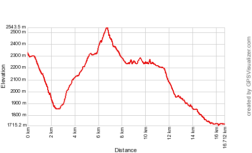 |
According to Gps-Track-Analyse - distance : 17.2 km - cum. elevation gain : 1313m - cum. elevation loss : 1920m - total elevation: 3232m - altitude maxi : 2543m - altitude mini : 1715m - altitude average : 2046m |
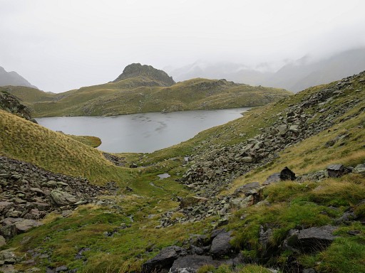 |
My starting point, where I pitched my tent yesterday. |
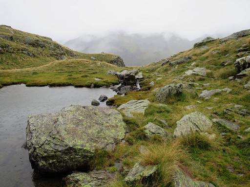 |
At the E-point of the lake, I descend E-wards, |
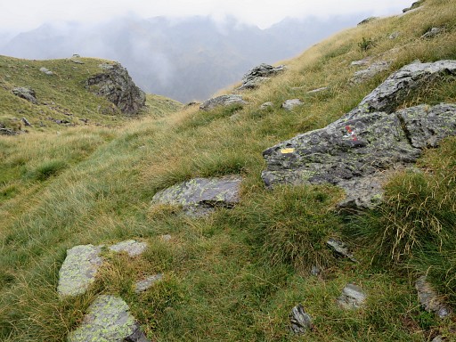 |
following yellow waymarks and NOT the red/white waymarks (note the red/white cross on this rock). |
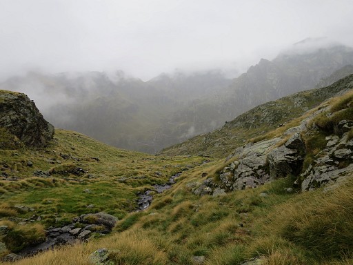 |
Thus descending (in parts quite steeply) |
 |
to the bottom of the valley (which takes 1.45h from my bivouac-spot) |
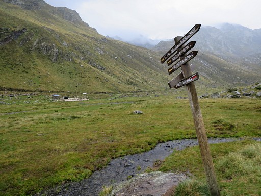 |
crossing the streams towards the cabin. |
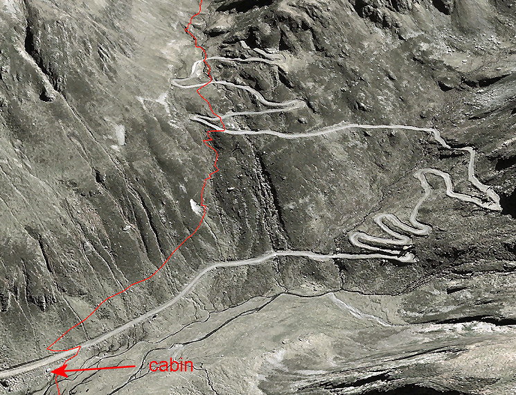 From the cabin the red/white trail climbs uphill, making a shortcut of the lacelets of the dirtroad. The climb to Port de Rat will take you approximatly 2 hours. |
|
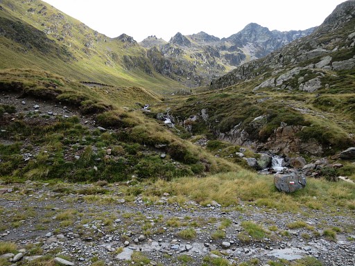 |
This is one of the lacelets to cross, note the red/white waymarks. |
 |
I have crossed the last lacelet and at this spot you have to cross the stream |
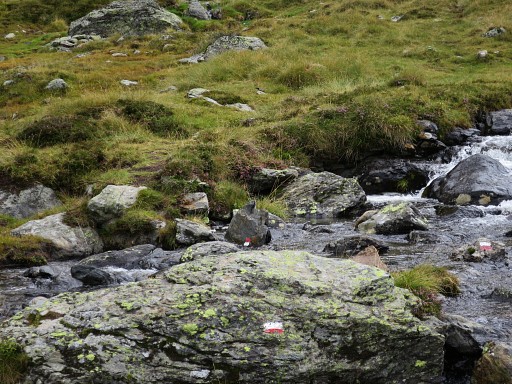 |
as shown by the waymarks |
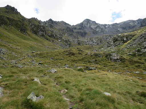 |
Now I'm getting on higher terrain |
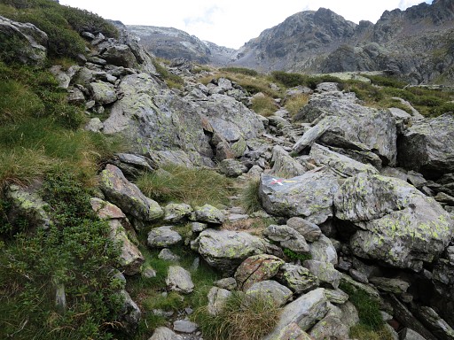 |
and arriving at a point where the trail goes left but another trail goes straight on, 'blocked' by this red/white cross. |
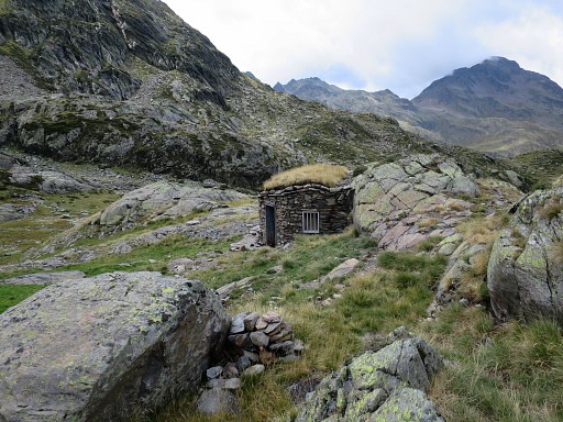 |
However, if you continue on the
'blocked' path, you will soon climb to a flatter area with a
small lake. About 75m W of this lake is a cabin |
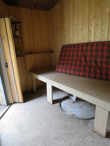 |
with this part reserved for hikers. |
 |
I return to the red/white trail and continue to |
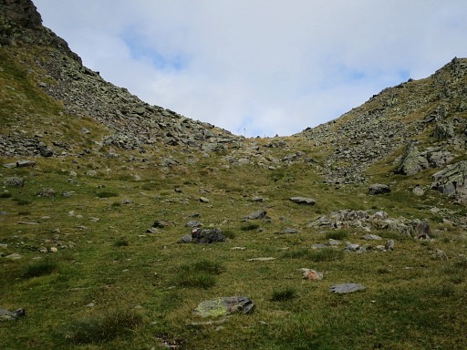 |
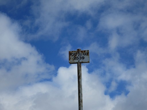
Port the Rat |
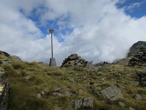 |
Port de Rat |
 |
Port de Rat |
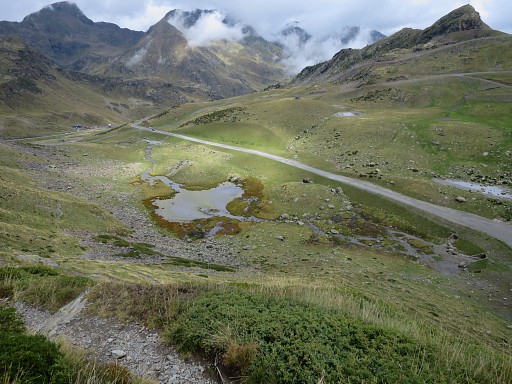 |
Looking into Andorra, the trail descends along the hillside to the tarmac road |
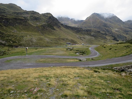 |
which zigzags further to a restaurant.
(from Port de Rat to the restaurant takes 0.45h). It's easier to go in
a straight line to the restaurant, shortcutting the lacelets. Lunch-break in the restaurant. It's cold and windy in Andorra. |
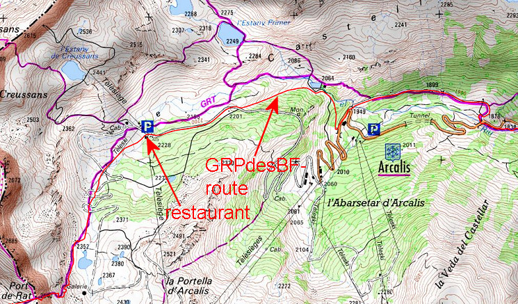 This map shows that you could still continue on red/white trails (purple on this map) to the E. But I have chosen for my GRPdesBF-route a more easy and faster variant, using tarmac roads and ski-slopes. |
|
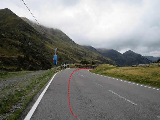 |
From the restaurant, first E along the tarmac road. Just beyond the first bend of the road, |
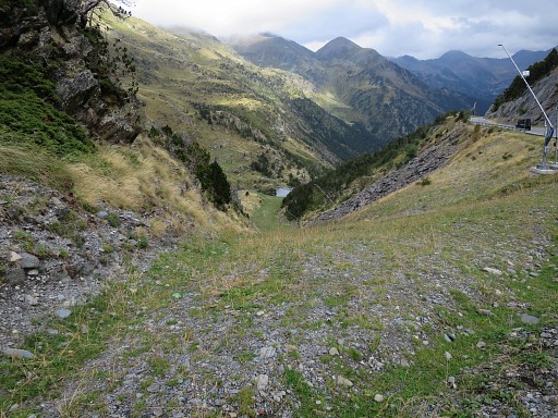 |
I leave the road and descend steeply on this ski-slope |
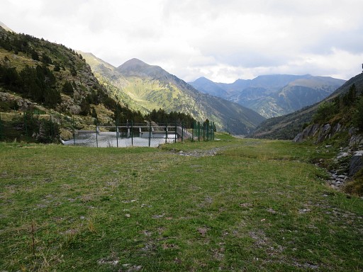 |
until this artificial pool |
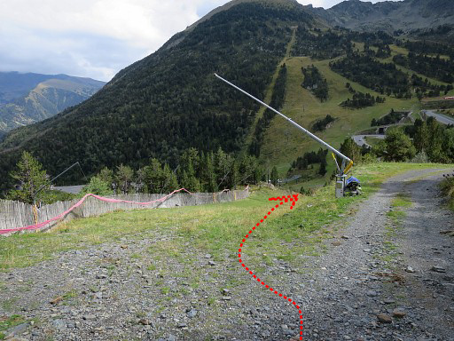 |
and then continuing my descent on the ski-slope |
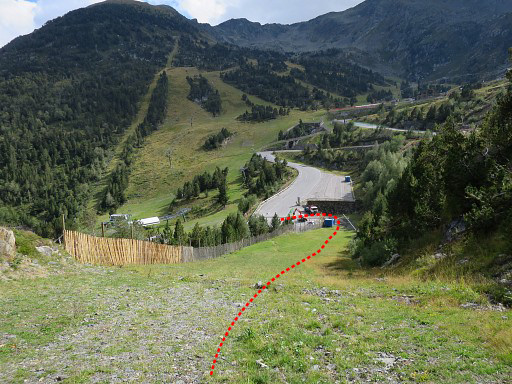 |
towards the tarmac road. There you should turn left on the road (going NE) and follow the road for 150m to a sharp bend. |
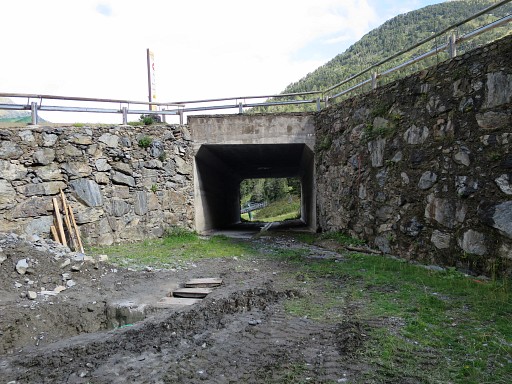 |
In this case I can't reach the road directly because of construction works. But via this tunnel and a hotel, |
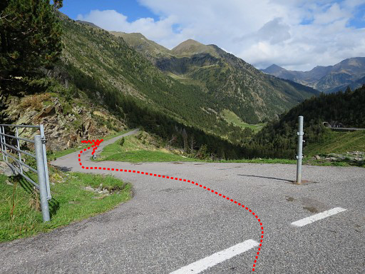 |
I get at the tarmac road and to this
point (sharp bend of the road) where I leave the main tarmac road and
take this quiet minor road. |
 |
Somewhere along this minor road, the red/white trails - mentioned above - will join the road |
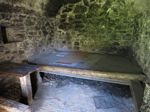 |
There's a simple cabin |
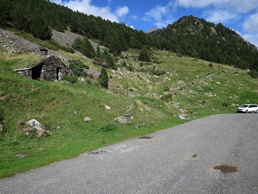 |
along this road but there seems no water nearby. |
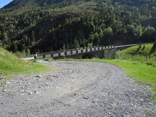 |
Finally the minor road bends towards this bridge. Now you have |
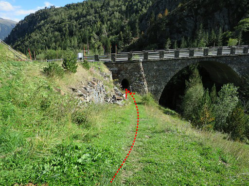 |
to go under the bridge on this trail |
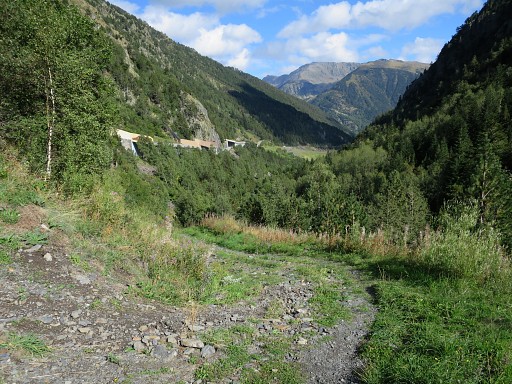 |
which becomes a dirtroad at the other side of the bridge, |
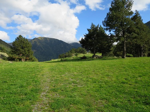 |
bringing you to this open field (to the right is a picnic area) |
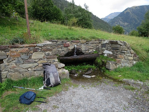 |
and further on back to the main tarmac road. At that junction, there's this source. |
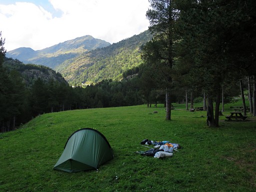 |
I return to the picnic-area to camp for the night. |
 previous
trip next
trip previous
trip next
trip 
|
|
