|
The
bordermarkers of the Pyrenees : all my trips
|
|
| - saturday 12 september
2015 - Two trips, leaving Andorra  previous
trip next
trip previous
trip next
trip 
|
 |
|
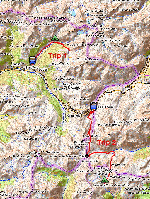
Summary: part of a 10-days trip to the Pyrenees, mainly meant as a
reconnaissance for the GRPdesBF. This day is one of a week of
backpacking from Guzet-Neige to Puigcerdà, traversing Andorra. Today: the crossing of the mountains towards Pas de la Casa aborted, taking the bus and continuing on a second trip from Pas de la Casa to bm427 and 428. |
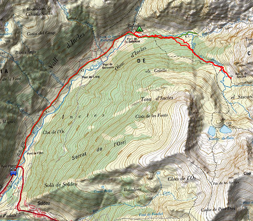 |
Trip 1 track-20150912-trip1.kml (click to open this trip in Google Earth or copy link to Google Maps; click right on this link to download gpx-version Weather: low clouds, foggy, windy, cold |
 |
For
explanation of
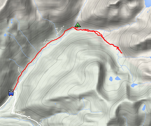
the gps-coordinates and other cartographic backgrounds: see the cartography-page The gps-track has not been manually corrected which explains the inaccuracy and misalignment at some points. GPS - 7,9 km - max H = 2135m - elevation gain: 308m - time: 3:20h Started at 7:45, finish at 10.30 = 2:45h net walking time |
|
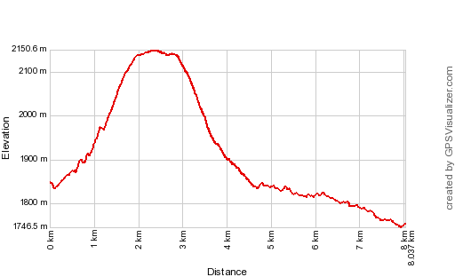
According to Gps-Track-Analyse - distance : 8.1 km - cum. elevation gain : 454m - cum. elevation loss : 548m - total elevation: 1001m - altitude maxi : 2151m - altitude mini : 1747m - altitude average : 1889m |
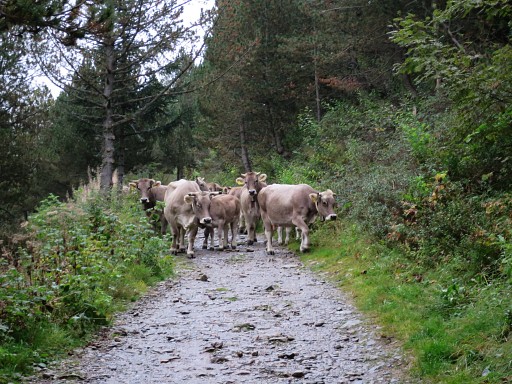 |
It's cloudy when I start and hike uphill, passing this herd. |
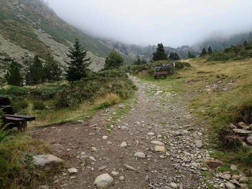 |
At this point, the main trail continues to the lakes of Juclar |
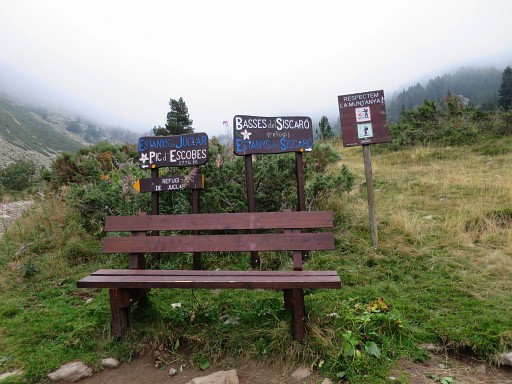 |
but the waysigns are abundant and I see that I have to turn right towards the Basses de Siscaro. However: if you continue towards Juclar, you will reach after 200m a picnic-area where a bivouac is well possible. |
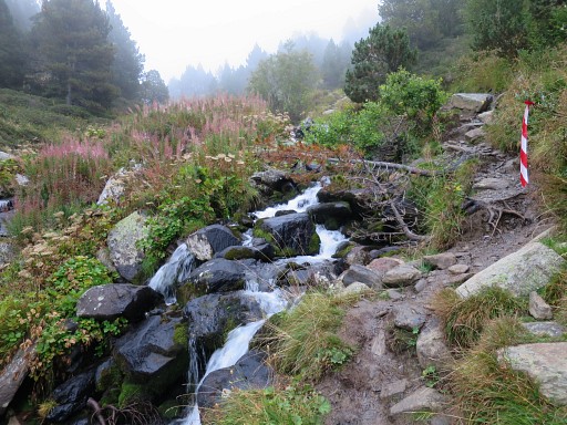 |
I climb uphill to the upper valley of Siscaro |
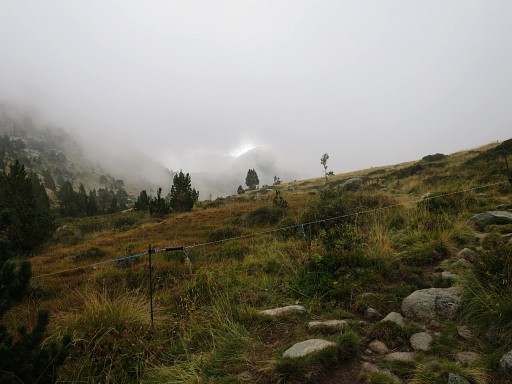 |
which I reach at this point. |
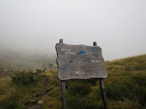 |
There's a refuge |
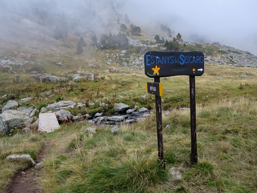 |
and the waysigns are still excellent. But the weather is not encouraging. I need a clear view for my reconnaissance of the GRPdesBF-route. But it's too foggy up here. I decide to return. |
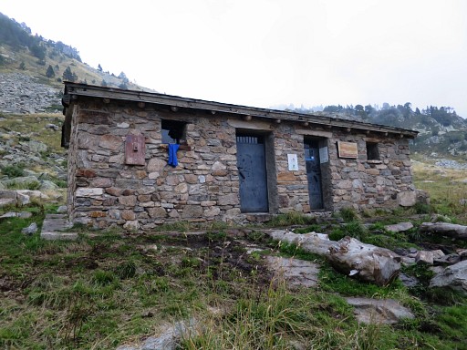 |
But before returning, I visit the cabin |
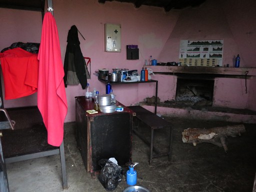 |
which seems in use by shepherds. |
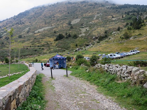 |
Back in Inclès where a trailrunning-contest is about to start. |
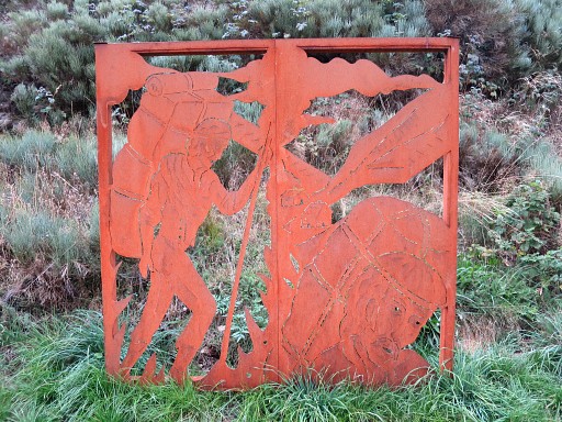 |
Then along the road to Soldeu (± 3km) with this monument along the road. |
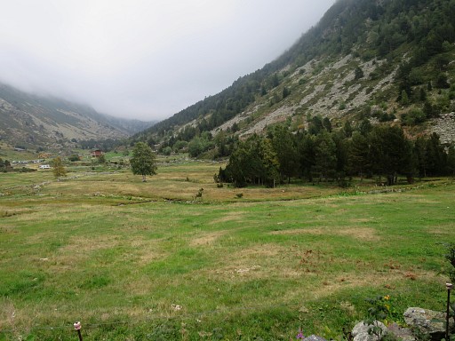 |
Looking back at Inclès where I spot some other bivouac possibilities under the trees. |
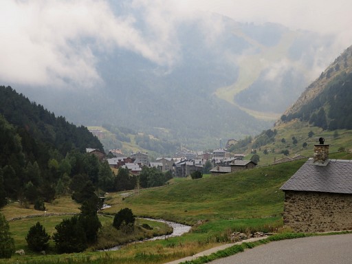 |
Approaching Soldeu |
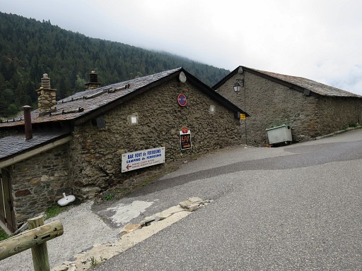 |
I pass unexpectedly a camping: the camping de Ferrosins. That's ± 30 min. from Inclès. Coffee-break in Soldeu while waiting on the bus to Pas de la Casa |
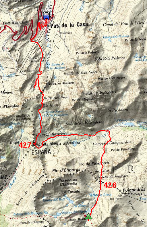 |
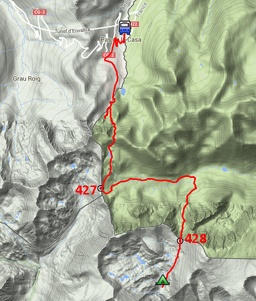
Trip 2 track-20150912-trip2.kml (click to open this trip in Google Earth or copy link to Google Maps; click right on this link to download gpx-version Weather: cloudy |
 |
For
explanation of
the gps-coordinates and other cartographic backgrounds: see the cartography-page The gps-track has not been manually corrected which explains the inaccuracy and misalignment at some points. GPS - 14,5 km - max H = 2630m - elevation gain: 1132m - time: 6:31h Started at 11:45, finish at 18.15 = 6:30h net walking time |
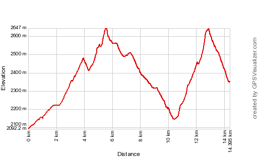 |
According to Gps-Track-Analyse - distance : 14.7 km - cum. elevation gain : 1270m - cum. elevation loss : 1013m - total elevation: 2282m - altitude maxi : 2647m - altitude mini : 2092m - altitude average : 2329m |
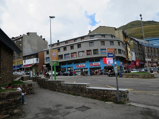 |
Having arrived in Pas de la Casa which is one big tax-free shoppingcenter. The skies have opened and I decide to continue from here. |
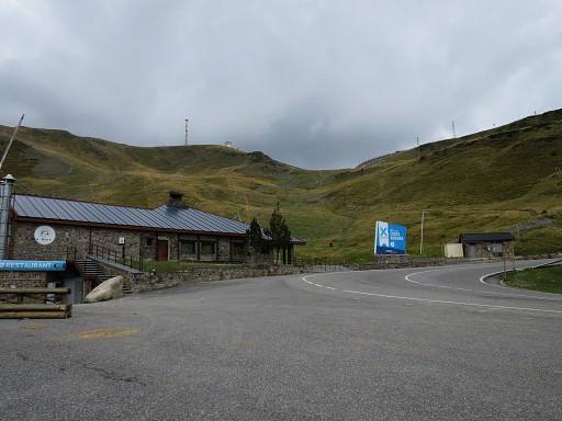 |
From this restaurant up the road to Soldeu, I can take a dirtroad. From here, I will take me 2.30h to reach the Portella Blanca with bm427. |
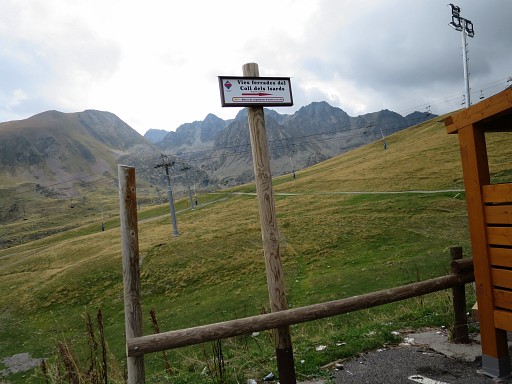 |
This is a waysign pointing to the Coll dels Isards but along the dirtroad there are no waymarks. The dirtroad goes first SE and later S. When there are biforks, take the right one. |
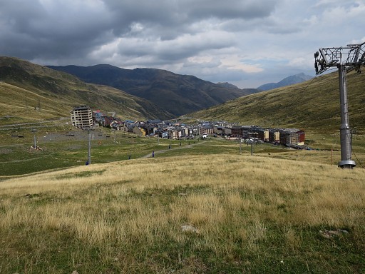 |
View back to Pas de la Casa |
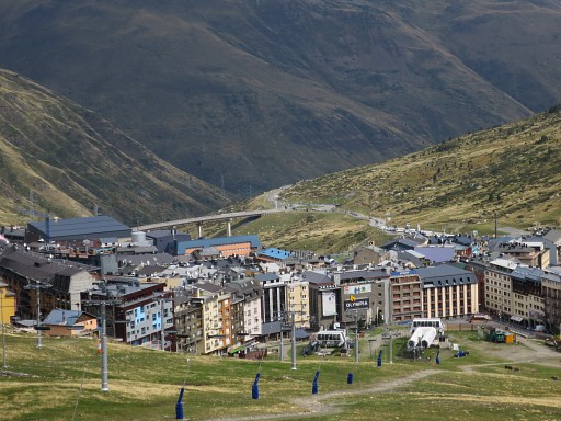 |
with this zoom-in which shows the bridge which was built for the tunnel. The construction of the tunnel included an exchange of territory between Andorra and France. |
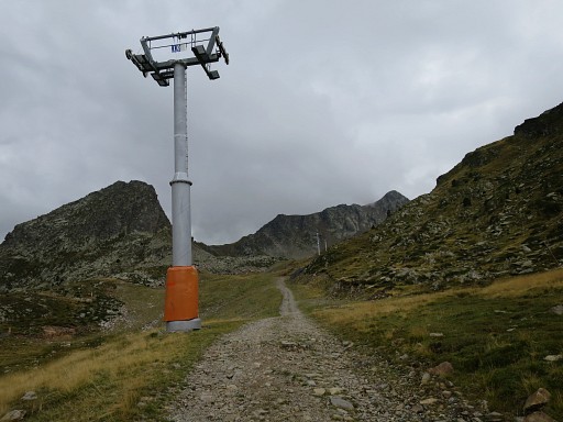 |
I continue uphill along this dirtroad
to the end of it. There I discover that I have missed 250m earlier the waymarks of the trail towards Coll dels Isards. This picture: I'm too far. |
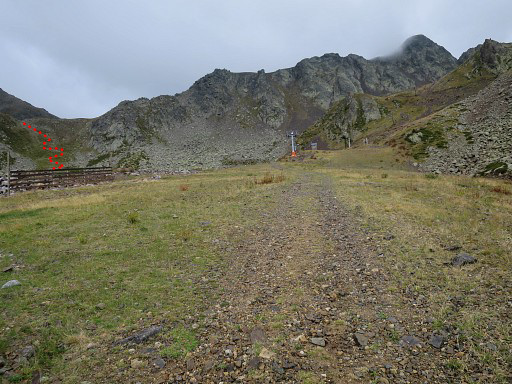 |
I return. This picture shows where to the trail climbs into the mountains. |
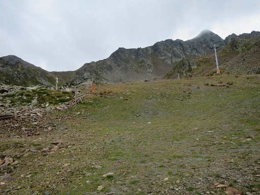 |
There's a signpost to focus at. |
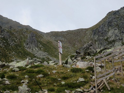 |
The signpost is where the trail starts |
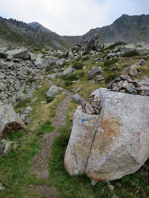 |
with blue waymarks. |
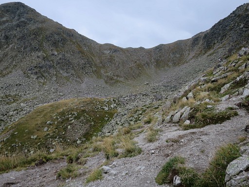 |
The trail climbs to a pass which is not yet the Coll dels Isards itself but the "Fales Coll dels Isards". |
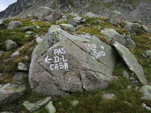 |
Wayfinding is no problem. |
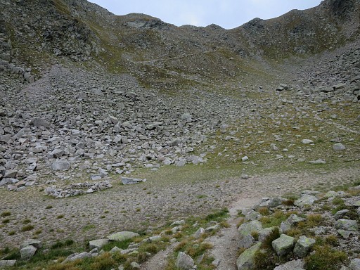 |
From the first pass this view of a kind of valley. The real Coll dels Isards is the next pass which is an easy climb. |
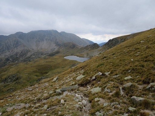 |
From the Coll dels Isards this view ahead. I can already see the Portella Blanca where bm427 is. |
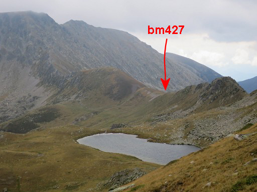 |
Zoom-in |
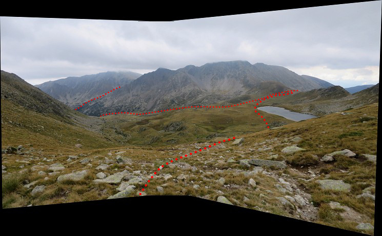 Panorama-view which also show the continuation of my route today which = the GRPdesBF-route |
|
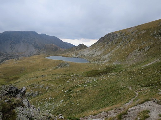 |
The trail to Portella Blanca is easy to follow |
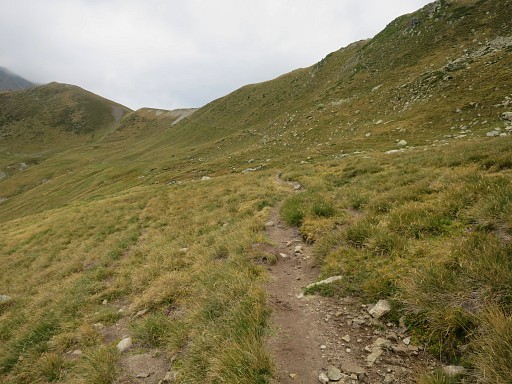 |
Approaching the Portella Blanca. |
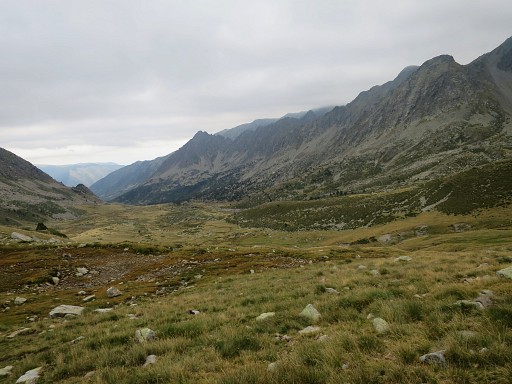 |
View down the valley |
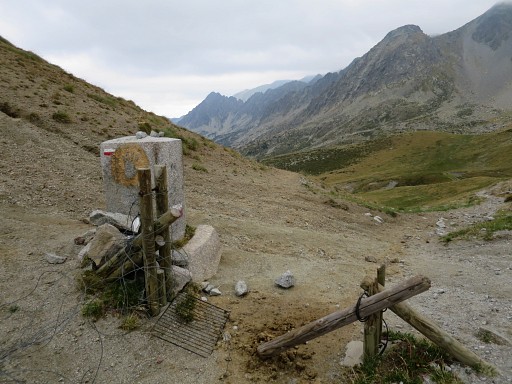 |
Having arrived at bm427 at the tripoint Andorra - France - Spain. Looking into France |
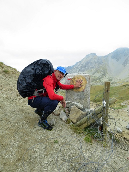 |
Bm427 with me |
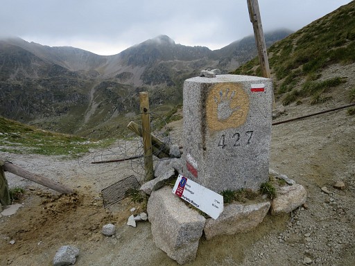 |
Bm427, looking into Andorra |
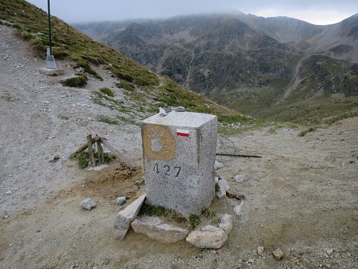 |
Bm427 |
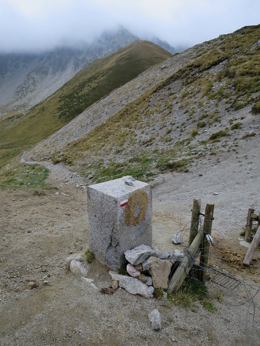 |
Bm427 As you can see, I can pick up red/white waymarks |
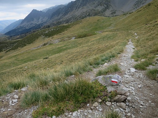 |
to guide me downhill into France. From bm427 to 428 will take me 2.45h. |
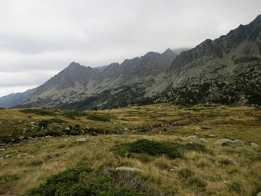 |
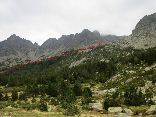
Down in the valley, the mountain ridge to the right gets more in view, |
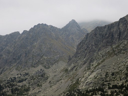 |
including (zoom-in) the gap to where I will have to climb to towards Portella Blanca de Meranges. |
 |
Further on this zoom-in |
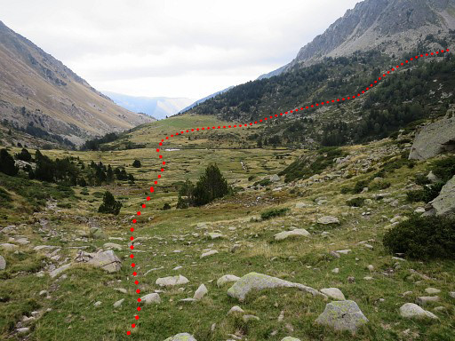 |
I'm approaching the point where - after passing a stream - I have to turn right (= south) to start climbing the ridge. The descent from bm427 to the stream will take approximately 1 hour. |
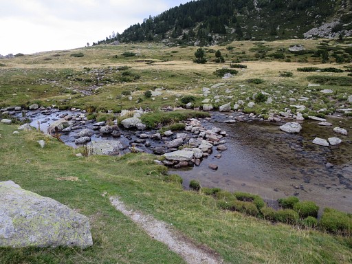 |
Passing the stream |
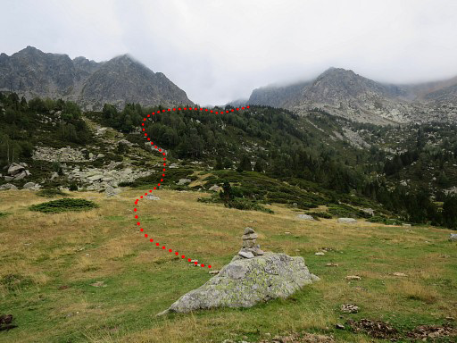 |
and then leaving the red-white waymarks to follow cairns like this one. |
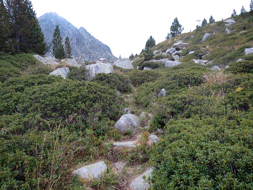 |
Climbing uphill along the cairns - wayfinding is no problem - |
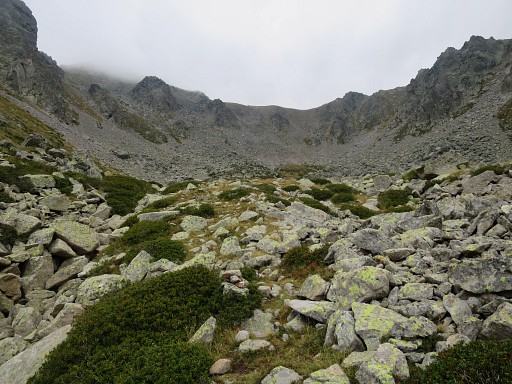 |
until I arrive at this bowl below the Portella Blanca de Meranges |
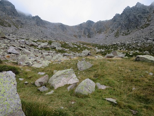 |
Further on two successive green areas appear where a bivouac should be possible (but no water available). The last part is steep. There are several cairns-routes: take the one which starts at the right side of the end of the bowl. |
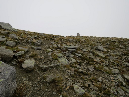 |
This picture: bm428 becomes visible.. |
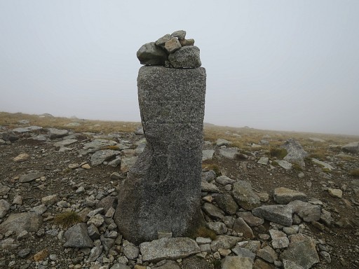 |
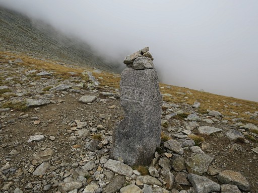
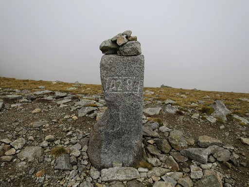
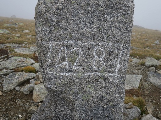
Bm428 At the Spanish side it's foggy, windy and rainy |
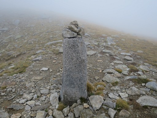 |
Bm428 |
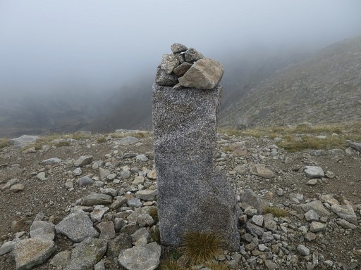 |
Bm428 |
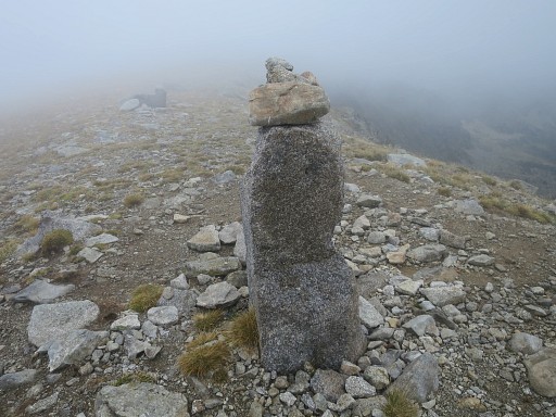 |
Bm428 |
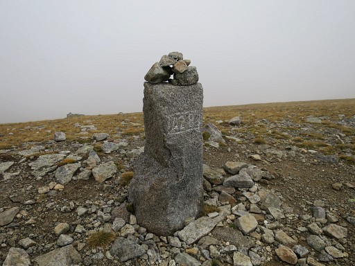 |
Bm428 |
 |
Bm428 |
 |
Bm428 |
 |
Bm428 |
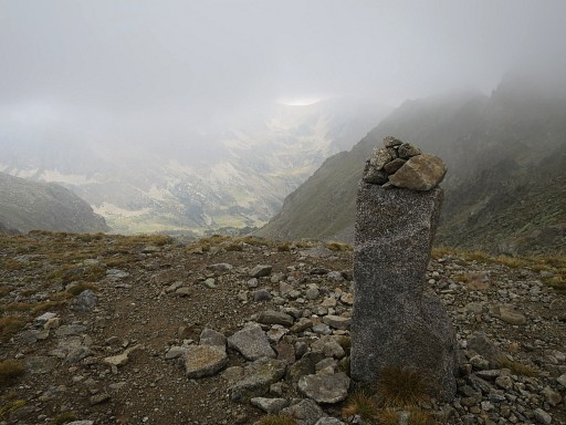 |
Bm428, looking into France. From this col, the GRPdesBF climbs to Puigpedrós |
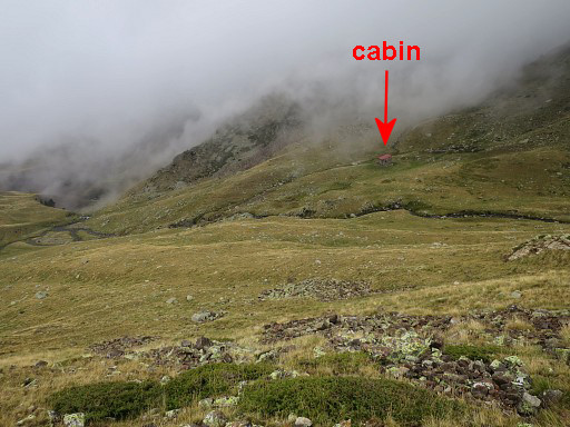 |
But it's getting late and I have to descend to find a place to stay for the night. The clouds make orientation difficult but just heading S will bring you towards |
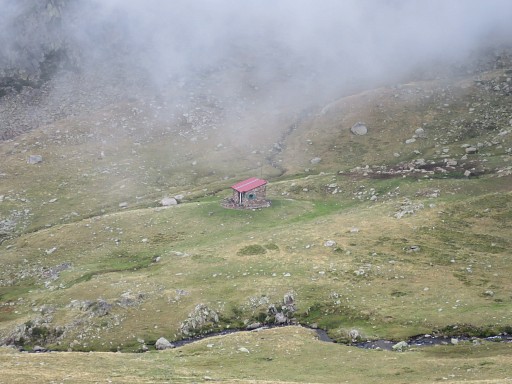 |
the cabin of Refugi d'Engorgs. But it is occupied and I prefer |
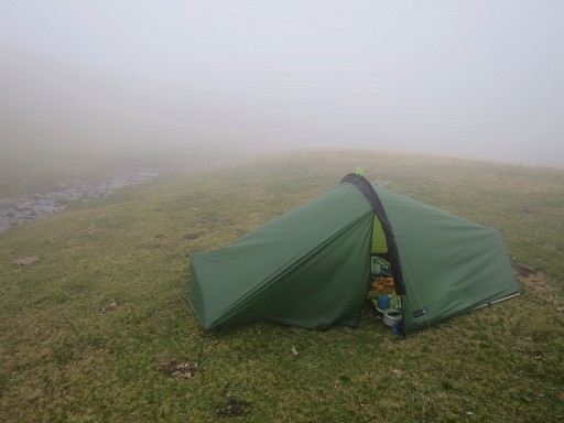 |
the privacy of my tent. It's raining, it's foggy and the wind is strong. But I feel safe in my tent. I felt in good shape today as if I need several days of backpacking to get in shape. |
 previous
trip next
trip previous
trip next
trip 
|
|
