|
The
bordermarkers of the Pyrenees : all my trips
|
|
| - tuesday 15 september
2015 - Strong winds over Andorra  previous
trip next
trip previous
trip next
trip 
|
 |
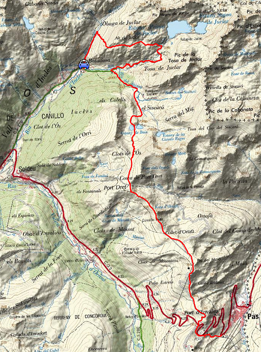 |
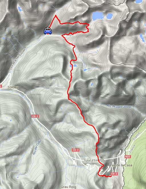
track-20150915.kml (click to open this trip in Google Earth or copy link to Google Maps; click right on this link to download gpx-version Summary: Part of a 10-days trip to the Pyrenees, mainly meant as a reconnaissance for the GRPdesBf. Today: returning to Andorra to redo the crossing of the mountains from Incles to Pas de la Casa. Weather: low clouds in the beginning, later on: more open skies. |
 |
For
explanation of
the gps-coordinates and other cartographic backgrounds: see the cartography-page The gps-track has not been manually corrected which explains the inaccuracy and misalignment at some points. GPS - 16,4 km - max H = 2619m - elevation gain: 1546m - time: 6:24h Started at 9h , finish at 15:15 = 6:15h net walking time |
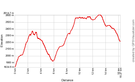 |
According to Gps-Track-Analyse - distance : 16.7 km - cum. elevation gain : 1573m - cum. elevation loss : 1189m - total elevation: 2762m - altitude maxi : 2615m - altitude mini : 1835m - altitude average : 2259m |
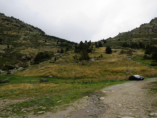 |
From my camping in Err I drive in the early mornng to Pas de la Casa and take the bus to Soldeu. With some walking and some hitch-hiking I arrive here at the parking at the hamlet of Incles. I climb NE in the direction of Port d'Incles |
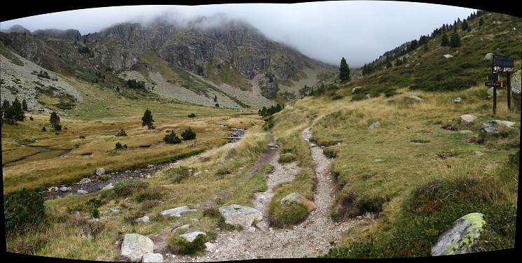 I want to do a reconnaissance of a route via the lakes of Juclar to see if it's worthwhile to skip the descent to Incles. This picture: in the distance the Port d'Incles, here I turn right |
|
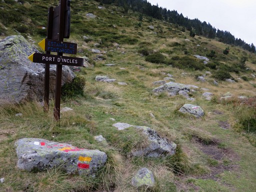 |
and follow the yellow/red waymarks of the circular Andorran GRP 1 |
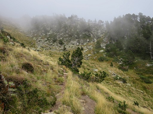 |
Soon I realize that this is definitely not a shortcut but a long and tough climb |
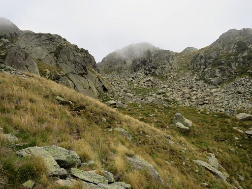 |
into the mountains |
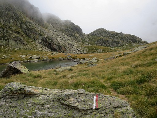 |
until I arrive here at a small lake |
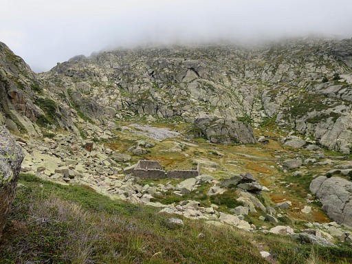 |
and this ruin. |
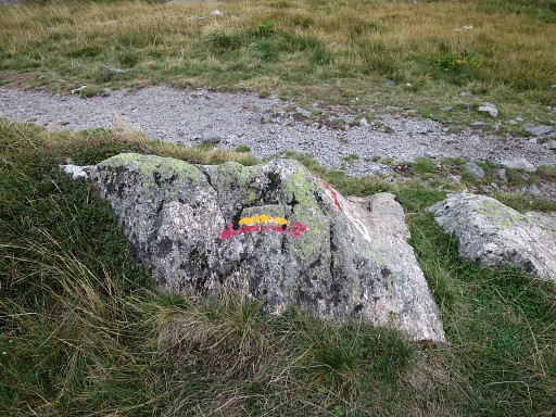 |
The waymarks now indicate two directions: left is to the lake of Juclar (and its refuge) and right the continuation S. |
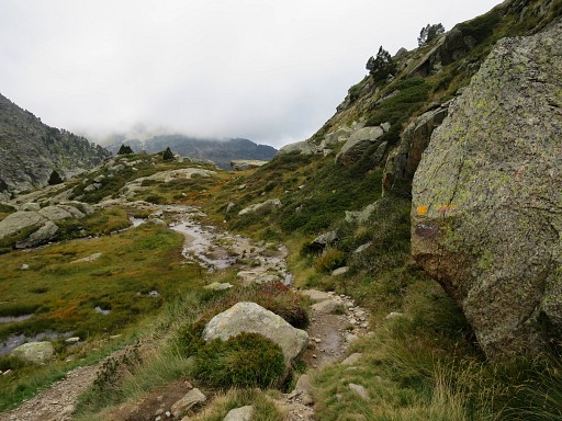 |
I descend and somewhere miss the yellow/red waymarks taking another - more direct - route to the plains of Siscaro. But it doesn't matter, I already know that this route is not an option for the GRPdesBF. It's easier and more convenient to descend to Incles and then climb to Siscaro. |
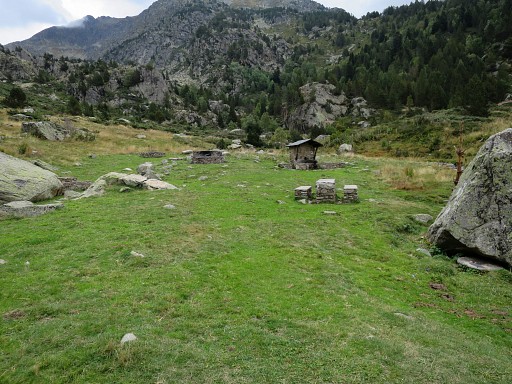 |
But I'm happy to discover this picnic-terrain which could be a nice spot for a bivouac. |
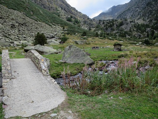 |
The picnic-area, seen from the other side. It's only 200m off the route from Incles to Siscaro. |
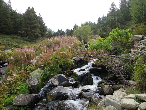 |
So: 200m further I'm back at the route between Incles and Siscaro. It has taken me 2.45h to do this detour from Incles. It seems a useless detour but meanwhile the skies have cleared. I climb along this stream |
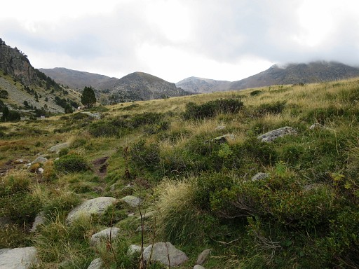 |
to the plains of Siscaro |
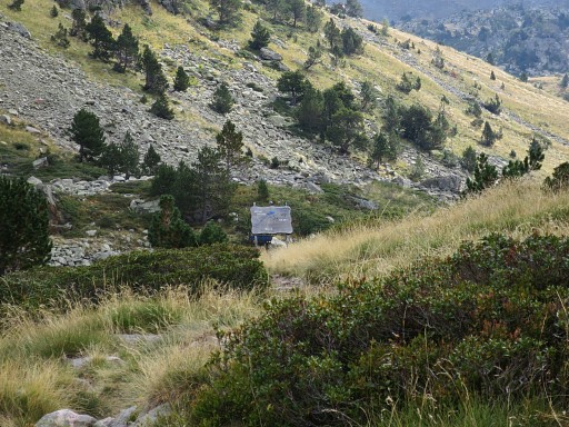 |
with this sign-board. |
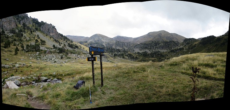 If you cross the footbridge and go right, the cabin of Siscaro is nearby. I've been there 3 days before. Now I continue on the trail |
|
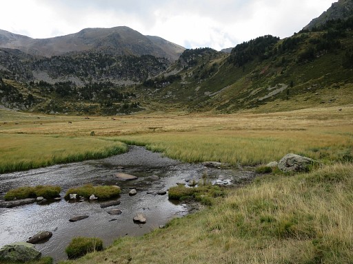 |
over the plains, following the red/white waymarks. One would expect the end of the valley as the direction to go. |
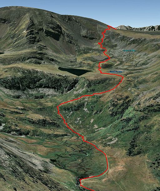 |
But in fact it makes a bend to the right and curves uphill to a higher level with a lake. |
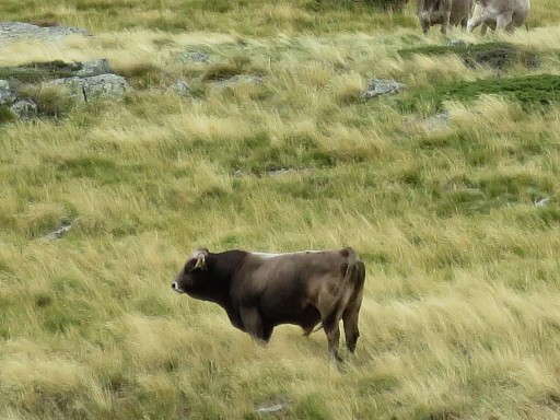 |
Meanwhile - on the plains - watching carefully this bull for not watching me. |
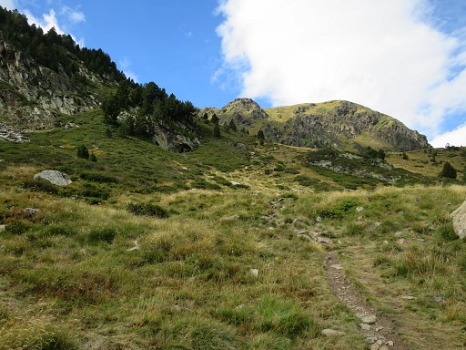 |
As said, near the end of the valley, the trail bends to the right and climbs into the mountains |
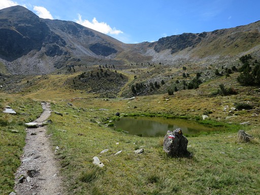 |
arriving at this bowl (a bivouac could be splendid here) |
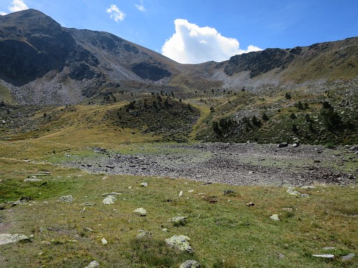 |
with - on the map - two lakes. This one - the right one - however has fallen dry. Pass between the two lakes and climb to the pass in the distance. |
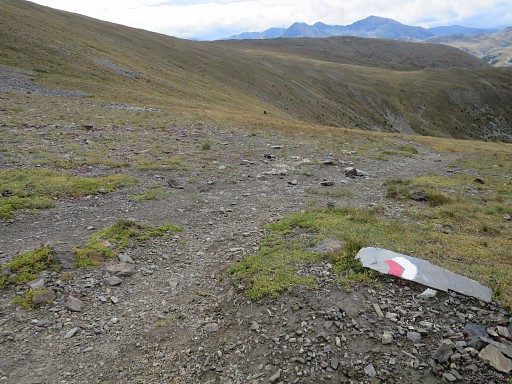 |
At the pass, the trail bends to the left, following the mountain slope. The trail is well. |
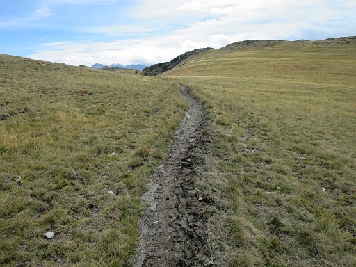 |
to this broad pass which is Port Dret. From approximately the picnic-area to Port Dret, took me 2h. |
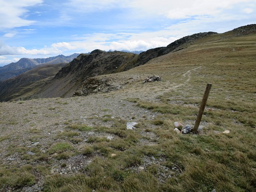 |
You have to leave the red/white trail and keep following the yellow/red waymarks to the S. But with or without the waymarks, the route is obvious is her: to the S to the ridge ahead. |
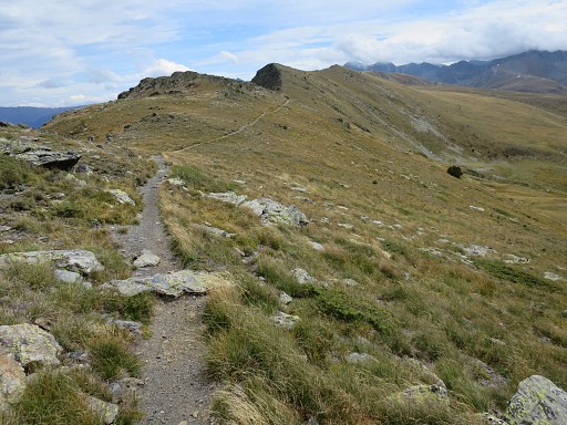 |
The trail brings you after a bit climbing to this ridge going SSE. The wind is now very strong. |
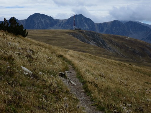 |
The target is the broadcasting station in the distance |
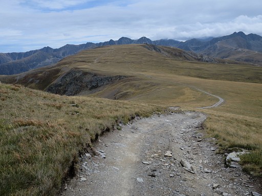 |
which is a long walk on the exposed ridge. The trail becomes a dirtroad. |
 |
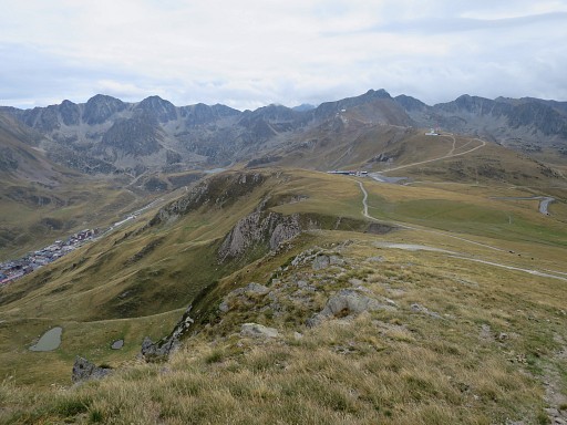
To the left the town of Pas de la Casa. |
 |
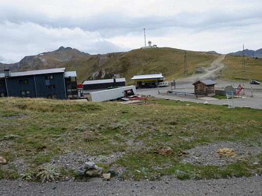
Beyond the broadcasting station the dirtroad descends in large lacelets. But it's easier to descend directly on a vague trail, shortcutting the lacelets. |
 |
Arriving at the road between Pas de la Casa and Soldeu. |
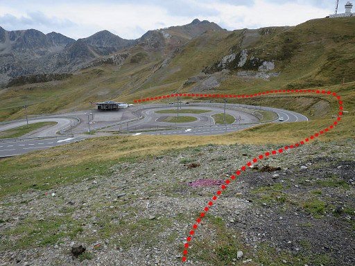 |
Now I walk around the road |
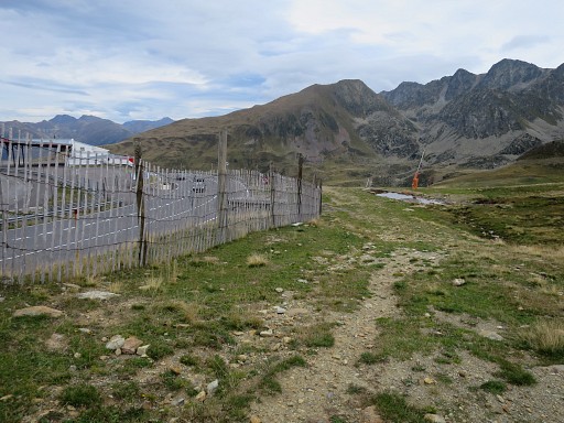 |
arriving here. A bit further |
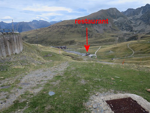 |
I see a restaurant in the bottom of the 'valley'. I descend directly to it (no trail). |
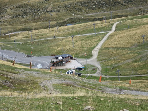 |
The restaurant is where I end my trip
of today. The descent from Port Dret to this restaurant (point marked
as K32 on the map) took me 1.30h. Beyond the restaurant, the dirtroad will take you uphill towards Coll dels Isards and beyond it to the Portella Blanca (bm427). But I walk downhill into Pas de la Casa. |
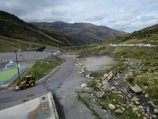 |
I'm back in Pas de la Casa where I lunch and buy a bottle of Ricard. This picture: the stream is the borderline. |
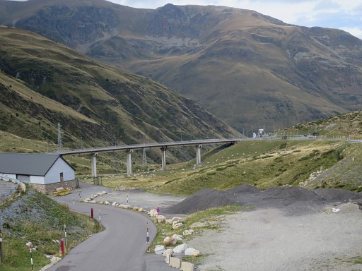 |
However, the borderline has changed in ± 2000 when the tunnel of xxxx was built. The bridge leads to the entrance of the tunnel and that part of territory, including the roundabout to the right of it, was given to Andorra in exchange of the same amount of territory to France. |
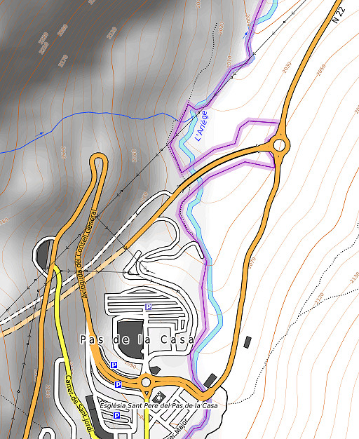 |
Let's show it on this map. The borderline now leaves the river to include the bridge until the roundabout. |
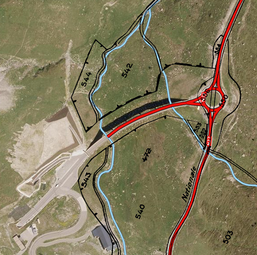 |
And as shown on the Geoportail-website. It shows also (I think) the two pieces of terrain (543 and 544) at the left side of the stream, given to France. |
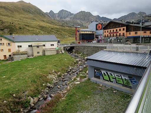 |
The border-stream again, now looking to Pas de la Casa. |
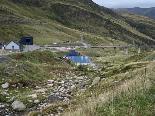 |
Another view downstream with the bridge. I drive back to Err. It's been a tough 1 1/2 week and I decide that it is enough for this holiday. The next day a nice and rural drive to my belovend Lourdes to spend some quiet and spiritual time there. |
 previous
trip previous
trip
|
|
