|
The
bordermarkers of the Pyrenees : all my trips
 |
|
| - sunday 18 september
2016 - Port de Larrau & Arnéguy: bad weather, driving home |
 |
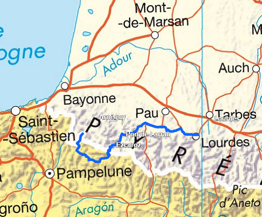 |
Summary: Part of a 9-days trip to the Pyrenees, covering various targets from east to west. Today: from Lourdes a long drive to Port de Larrau but too foggy and windy to undertake the climb to Pic d'Orhy. I continue to the Basque country where the hilltops are equally shroudend in clouds. I decide to return home. |
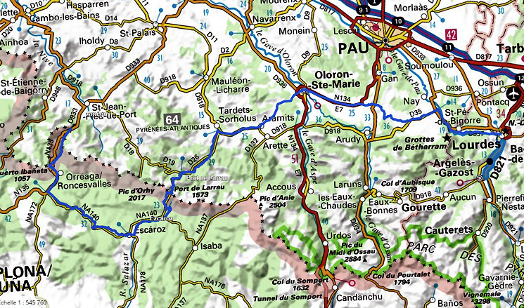 The route in more detail.
|
|
 |
Port de Larrau. It's steep road from the French side. |
 |
Having arrived at the Port, it's foggy, windy, cold. I wanted to climb the Pic d'Orhy for a final search of bm236 but it's too foggy & windy & cold. |
|
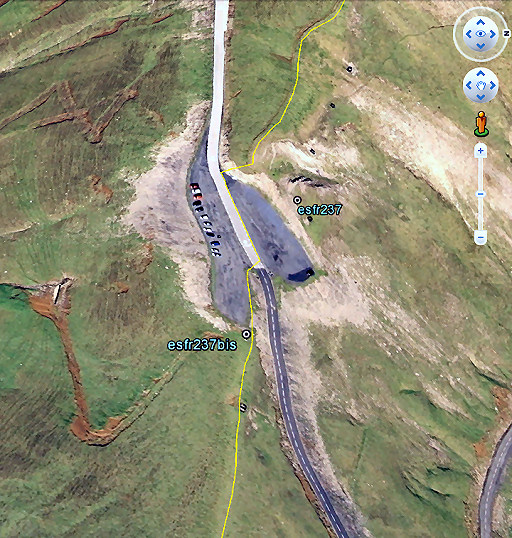
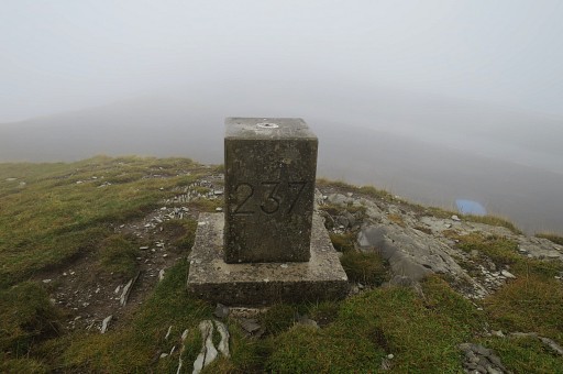
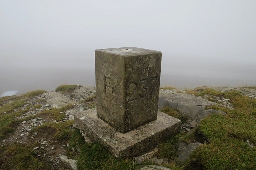
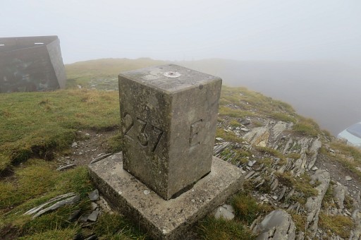
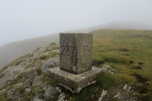
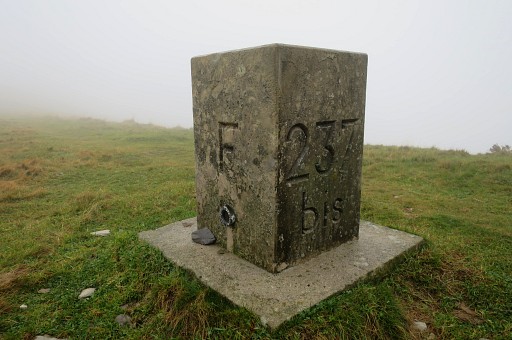
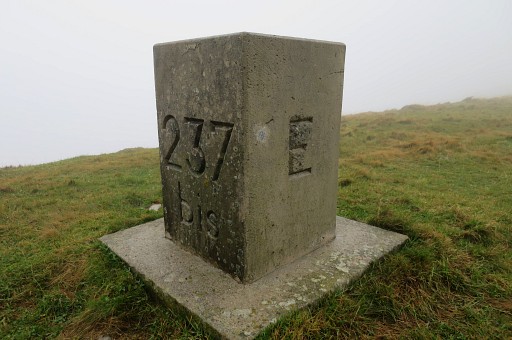
So I just take pictures of bm237 and 237Bis |
|
|
|
|
|
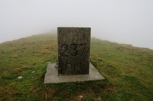
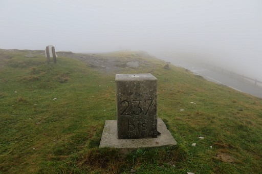
Bm237bis at the other side of the road. |
|
|
|
|
|
|
|
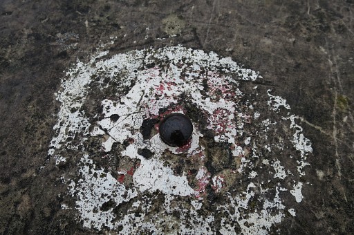
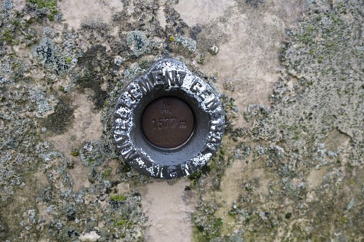
A geodetical point at top of the bm |
|
and one on its side. |
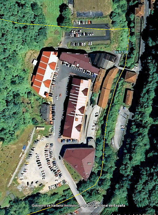 |
I continue, descending into Spain and driving to Arnéguy. I'd like to see bm196 again and check if the weather in the Basque country is better for the days ahead. This picture from Google Earth: you see the large 'Venta'-complex: cheap Spanish shops and restaurants just over the border. |
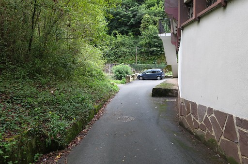 |
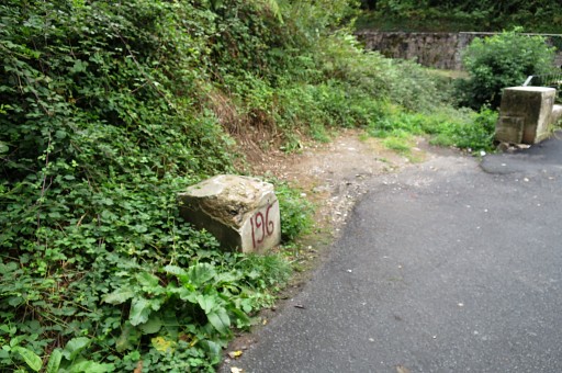
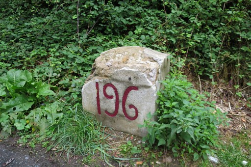
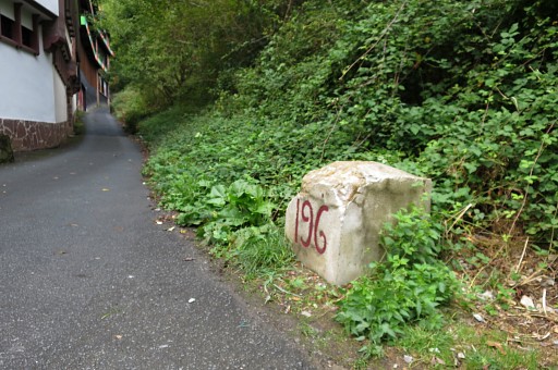
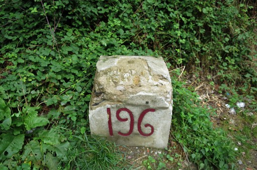
Bm196 at the end of this alley |
 |
|
|
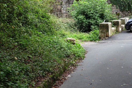
Bm196 was buried for some decennia and |
|
found back by Jan-Willem Doomen and me in 2013. See this page. |
|
|
|
I check the weather-forecast but it will remain cloudy and rainy around here. The hilltops are covered with clouds so venturing around here is not appealing. |

|
So I decide to return home. I manage
to arrive today at camping la Venise Verte. The next day I drive home
with a stop in Lisieux to visit the huge basilica dedicated to
Saint Thérèsa of Lisieux. |