|
The
bordermarkers of the Pyrenees : all my trips
 |
|
| -
sunday 10 october
2017 - International summit on the 408-submarkers |
 |
 |
Summary:
part of a 2 weeks holiday in
the Pyrenees with Henny, only this day used for a bordertrip. Today: climbing to the Cabane de Réchets in a last attempt with Charles Darrieux and Michel Moliá to find the lost bm 408 III and IV Weather: splendid autumn weather Start 09:00 Finish 16:45 |
 |
track-20171008.kml
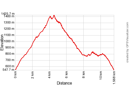
(click to open this trip in Google Earth or copy link to Google Maps; click right on this link to download gpx-version). The gps-track has not been manually corrected which explains the inaccuracy and misalignment at some points. For cartographic backgrounds: see the cartography-page Distance: (according to Google Earth): 10,6km, maxH=1419m, minH=550m, elevation: +1187m -1189m |
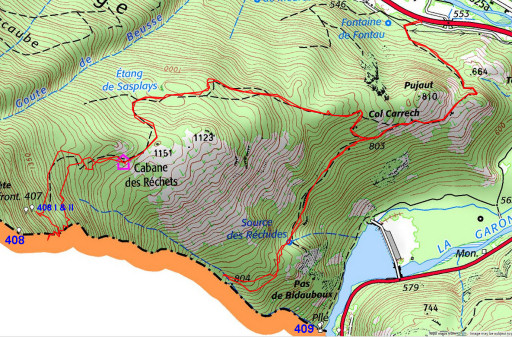
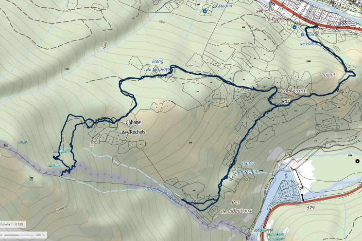
 This map shows - besides our
track - the two streams which are at the core of the mystery of the
lost intermediate markers bm408 III and IV: the ruisseau du Terme and
above it the ruisseau des Réchets. See this page for the complete story.
|
|
 In short: the ruisseau du Terme was always considered as the borderline from bm408 to 409, perfectly fitting in the Treaty-text. Due to a forester's tresspassing in the 1960-ies of this ruisseau, doubts arised: should the ruisseau des Réchets be considered as the borderline? Diplomatic solution: shifting of the border to the north and the placement of four intermediate markers: 408 I to IV. However: nr. III and IV are unfindable nowadays and we don't know what was the exact new course of the border. |
|
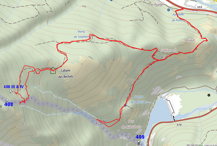
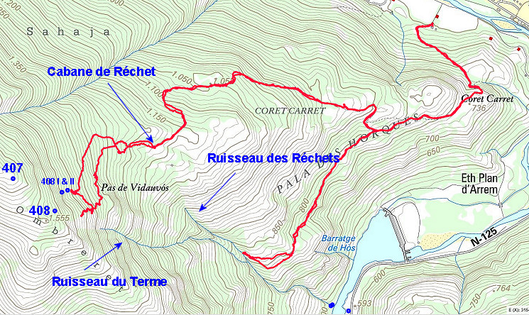
 The same map but now with a
cadastral layer. A lot of parcels, testimony of a once much used
mountainside. Now they are not recognizable any more in the landscape
and one wonders if there are still propretiers known.
You can see that the borderline on this map follows a course in between the two streams on a sort of ridge. Well: that's the recent diplomatic solution of the conflict: see this blogpost |
|
 To finish: my favorite base map -> the Catalonian ICC-map which shows the elevation very detailed. |
|
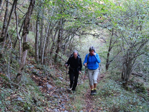 | Henny and Charles climbing to Cabane des Réchets. We drove together from Saint Girons in the early morning. |
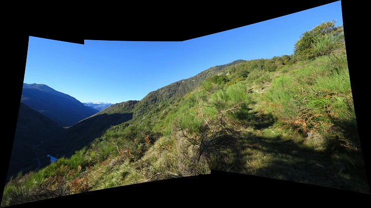 On our way up, this panorama-view to the SWW, in fact to the mountain range where we are ultimately climbing to. | |
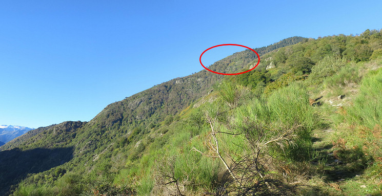 And with a digital zoomin and comparison with Google Earth we can show the part where the Ruisseau du Terme starts. |
|
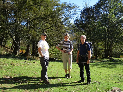 | But first we meet Michel Molía (left) who has slept in the Cabane de Réchets and did a reconnaissance the day before. |
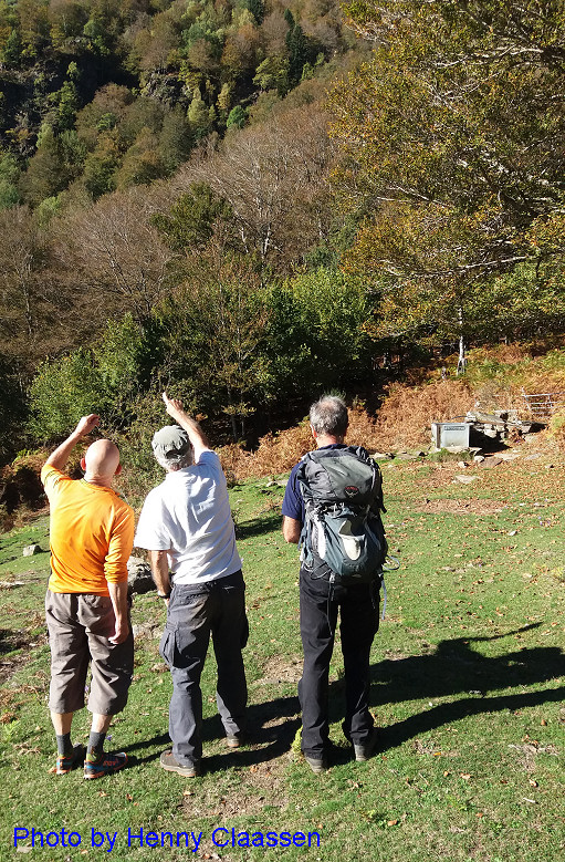 |
We immediately start with making plans. |
 and
make a official portrait of our international committee with Henny as
an independant observer from Belgium. From left to right: me, Henny,
Charles and Michel. and
make a official portrait of our international committee with Henny as
an independant observer from Belgium. From left to right: me, Henny,
Charles and Michel. | |
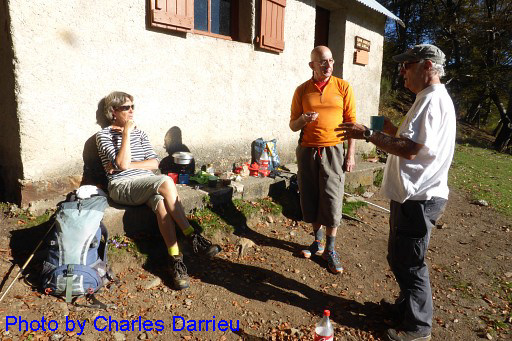 | But first a late breakfast or early brunch and then |
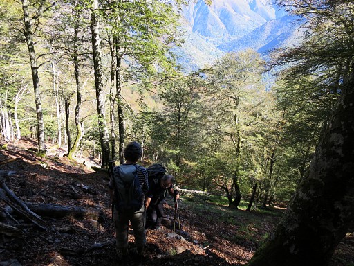
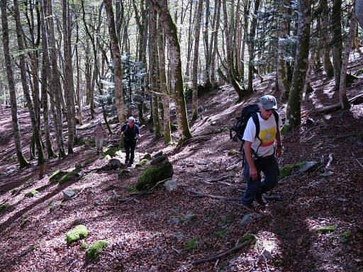 | off we go! Climbing towards the small cascade where bm408 I and II are placed. |
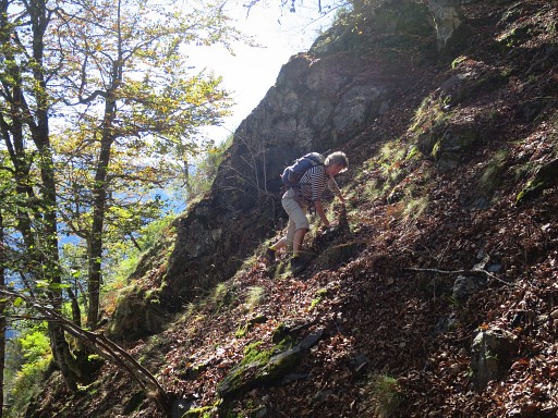 | From there we scan the surrounding hillsides. This is Henny on steep climb, |
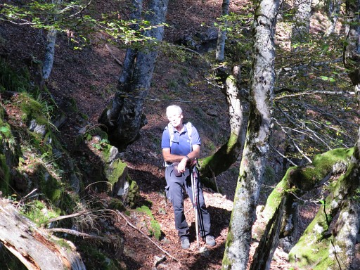 | following our indefatigable mountain goat Charles. |
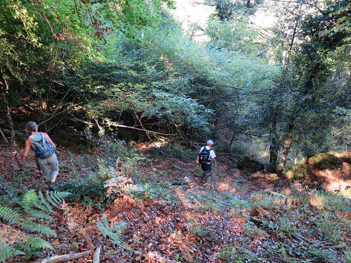
 | Then
descending but it all leads to nothing (no trace of the lost markers)
as expected. We have surveyed this terrain already a lot. We return |
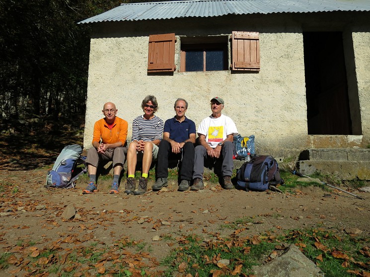
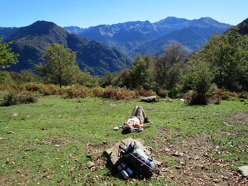 | and take a rest at the cabane. |
 | Then back to the car but making a detour |
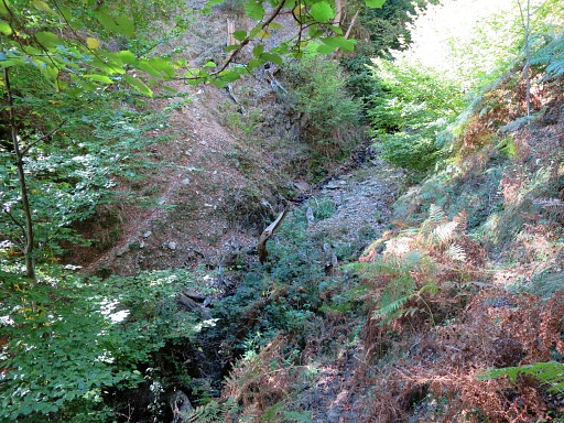 | to the confluence of the Ruisseau du Terme and Ruisseau des Réchets. This picture: getting close |
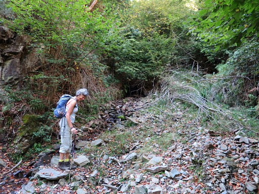 | This is the spot. Not much to see. But Michel's pictures of his trip in spring 2017 show more. |
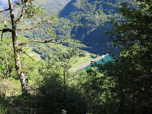
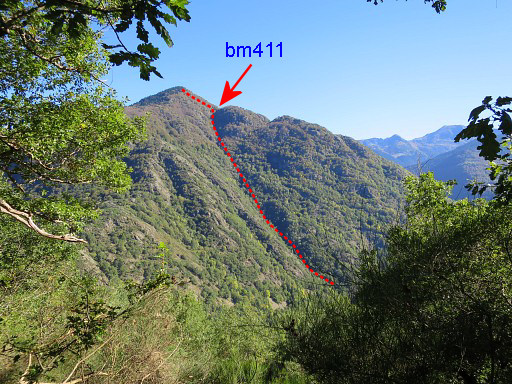 | A view to the other side of the Garonne where the borderline creeps uphill from bm410 tot 411. |
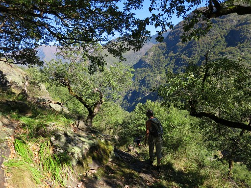 | Back to the main trail, |
 | finding our way |
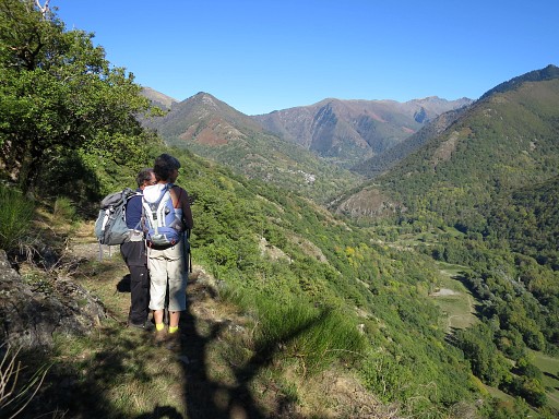 | and enjoying the landscape. |
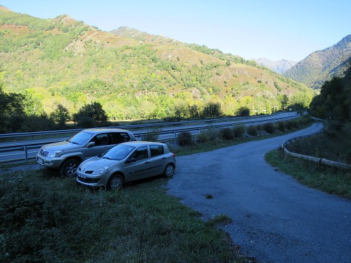 | Back at the cars |
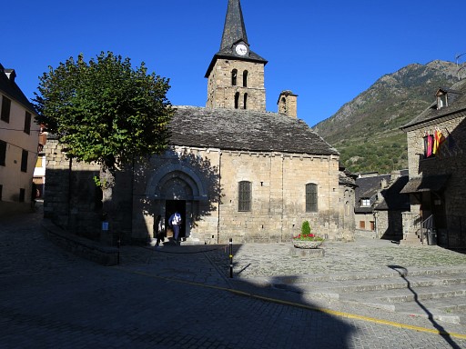 | and in Bossóst |
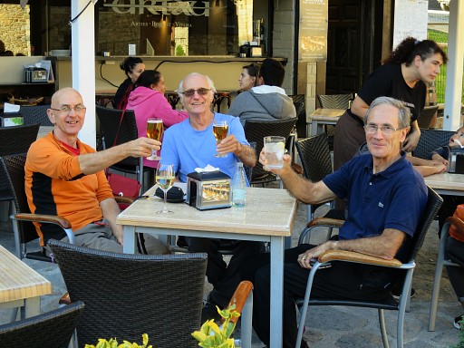 | we toast on friendship and the pleasure of enjoying quests no one else cares about. |
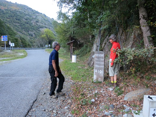 | On our way home, a visit of bm410 |
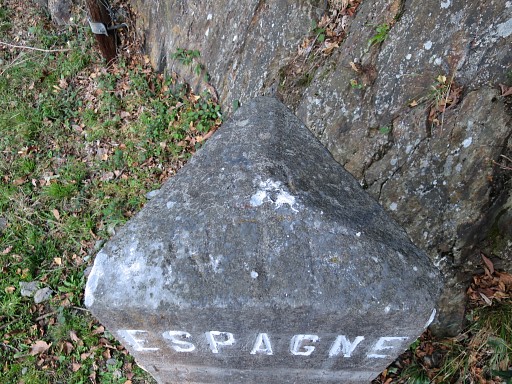 | with its triangular shape |
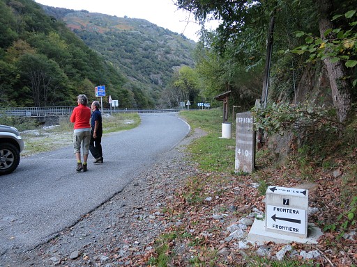 | and the 409-submarker which was repaired last year. |
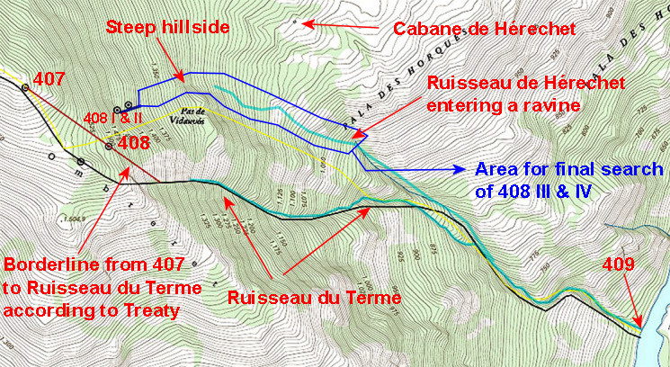
| Conclusion
of today: without a plan of the actual placement of the submarkers,
there’s no clue where to search again after the numerous searches of us
three. There’s a French plan but buried somewhere in some archive but
we now have a new link: a Spanish map kept in a Spanish archive. Michel
is the leading man in the search for this map. And he has a new firm
idea of where nr. III and IV were placed. |
|
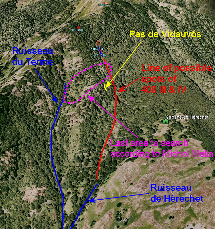 His reasoning: the most
logical (new) borderline was the extension of the small stream/cascade
wich connects 408 I and II. However: at the foot of the cascade the
stream disappears and much more downhill a stream starts (ruisseau de
Réchets or Hérechet). If there is an underground connection, we don't
know. But we have together searched the red line area thoroughly with
no results.
Remains another hypothesis and that's the purple area (according to Michel) |
|