|
The
bordermarkers of the Pyrenees : all my trips
 |
|
| -
monday 20 august
2018 - Redoing bm336-356 + a 'borne de paçage' |
 |
 |
Summary:
one of a 8-days trip in
the Pyrenees, in the area of Haute-Garonne near Bagnères-de-Luchon, in
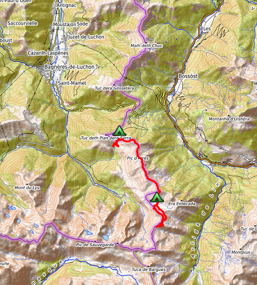
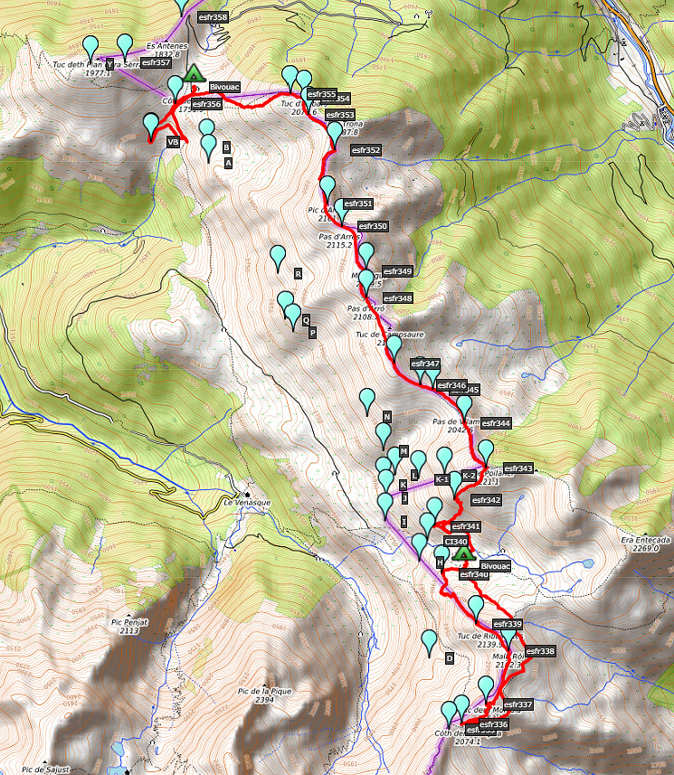
order to redo the bordermarker-range no. 331 to 417. Today: second day of a 4-days trekking, covering bm331-358 Weather: fine |
 track-20180820.kml
(click to open this trip in Google Earth or copy link to Google Maps; click right on this link to download gpx-version). The gps-track has not been manually corrected which explains the inaccuracy and misalignment at some points. For cartographic backgrounds: see the cartography-page Gps-waypoints of all bordermarkers (most recent version): kml: esfr-bordermarkers-all-waypoints.kml gpx: esfr-bordermarkers-all-waypoints.gpx |
|
 |
According to Garmin
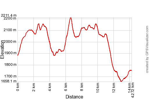
Basecamp: Distance: 14,3 km Max-height: 2211m Min-height: 1658m Elevation: +1195m -1327m Total elevation: 2522 Start 09:26 Finish 19:05 Total time: 9:40 |
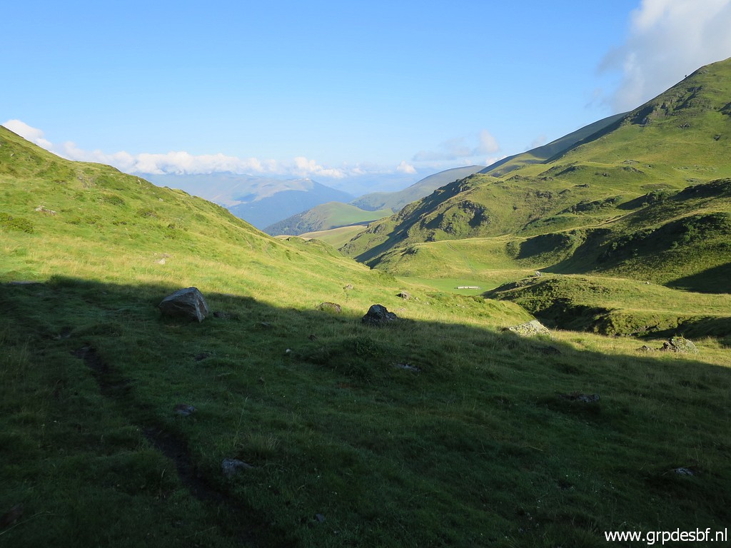 |
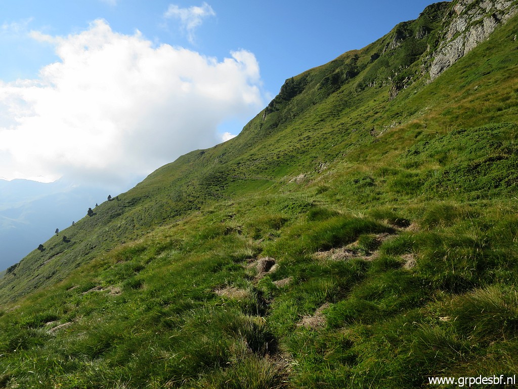
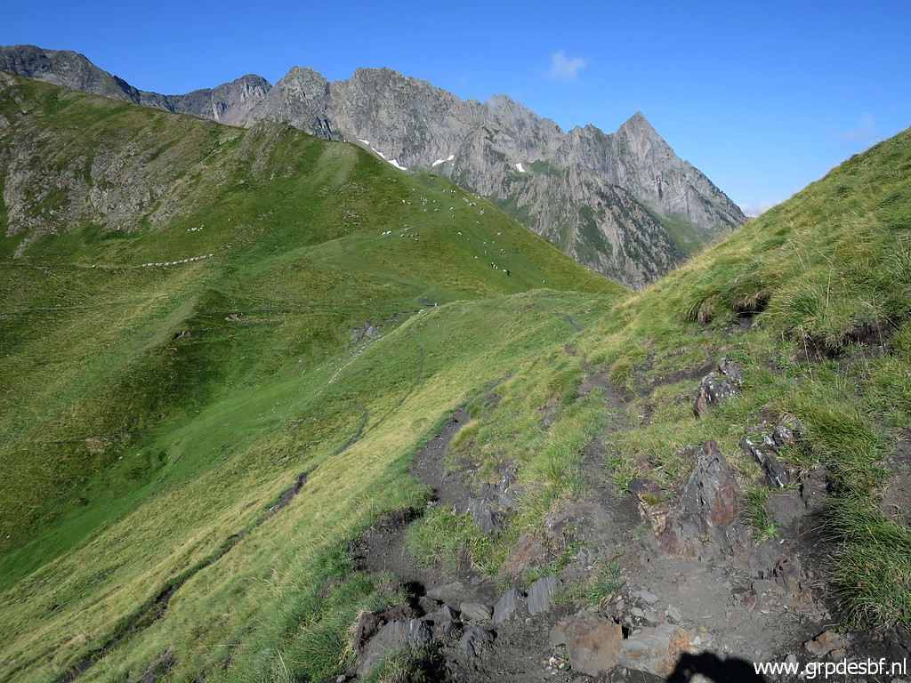
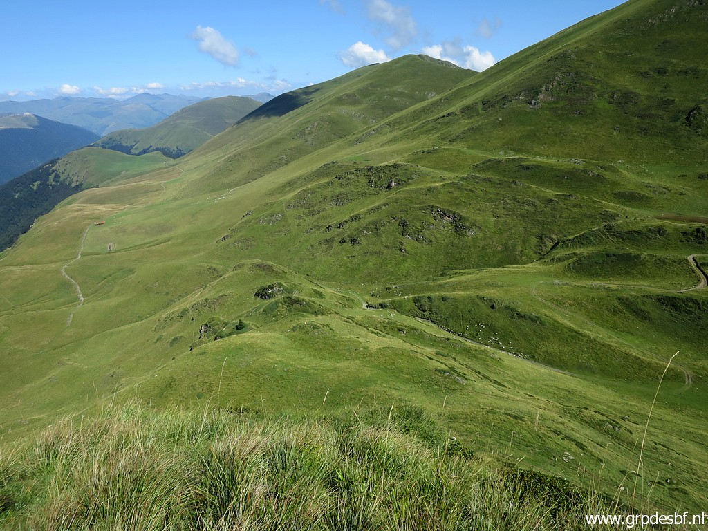
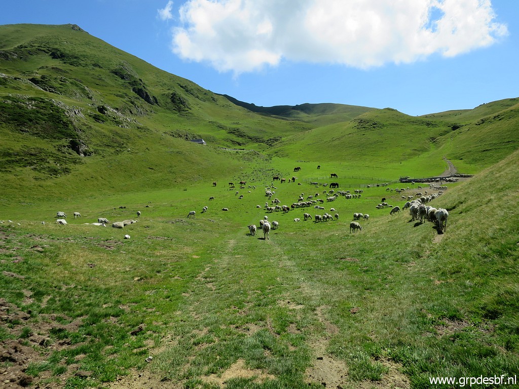
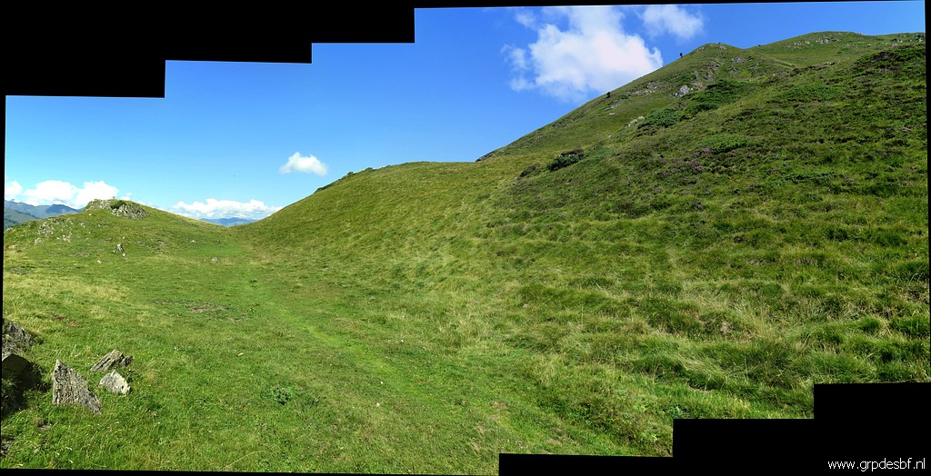
From my bivouac-spot, I will make first a loop - clockwise - to the south to do bm337 to 340. This picture: climbing to the east rim of the valley (which is the watershed), looking back to my bivouac-spot in the distance (drinking tub for the cattle visible) click photo to enlarge |
 |
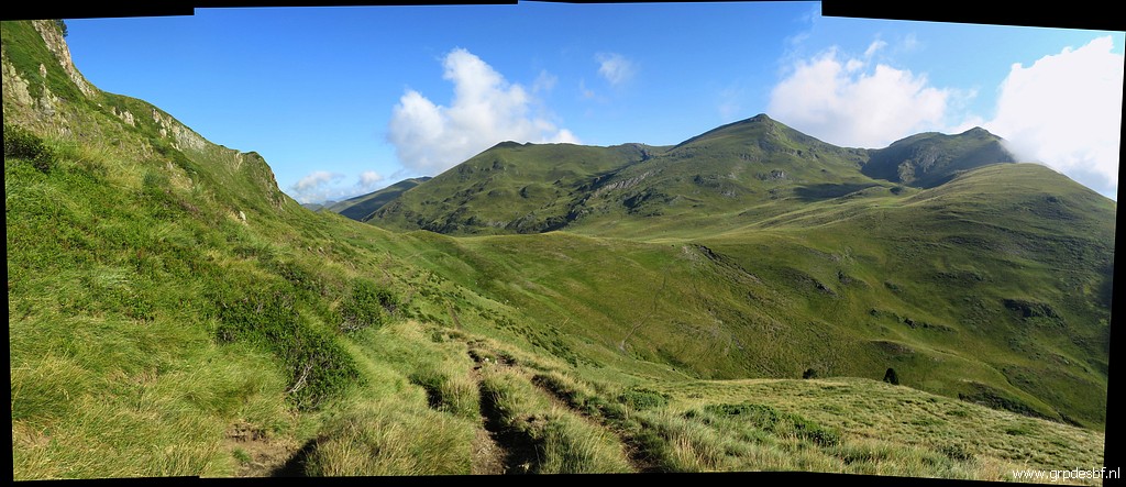
Having proceeded and looking back to where I came from. click photo to enlarge |
 |
I want to explore the paths east of the borderridge between bm336 and 340. That was intended to be the main route of the GRPdesBF but not yet surveyed. This picture: this is the path going south, to the right: the borderridge click photo to enlarge |
 |
A view back to the east rim of the valley (= the watershed) where I camped. click photo to enlarge |
 |
Approximately the same view but now with a local marker along the trail. click photo to enlarge |
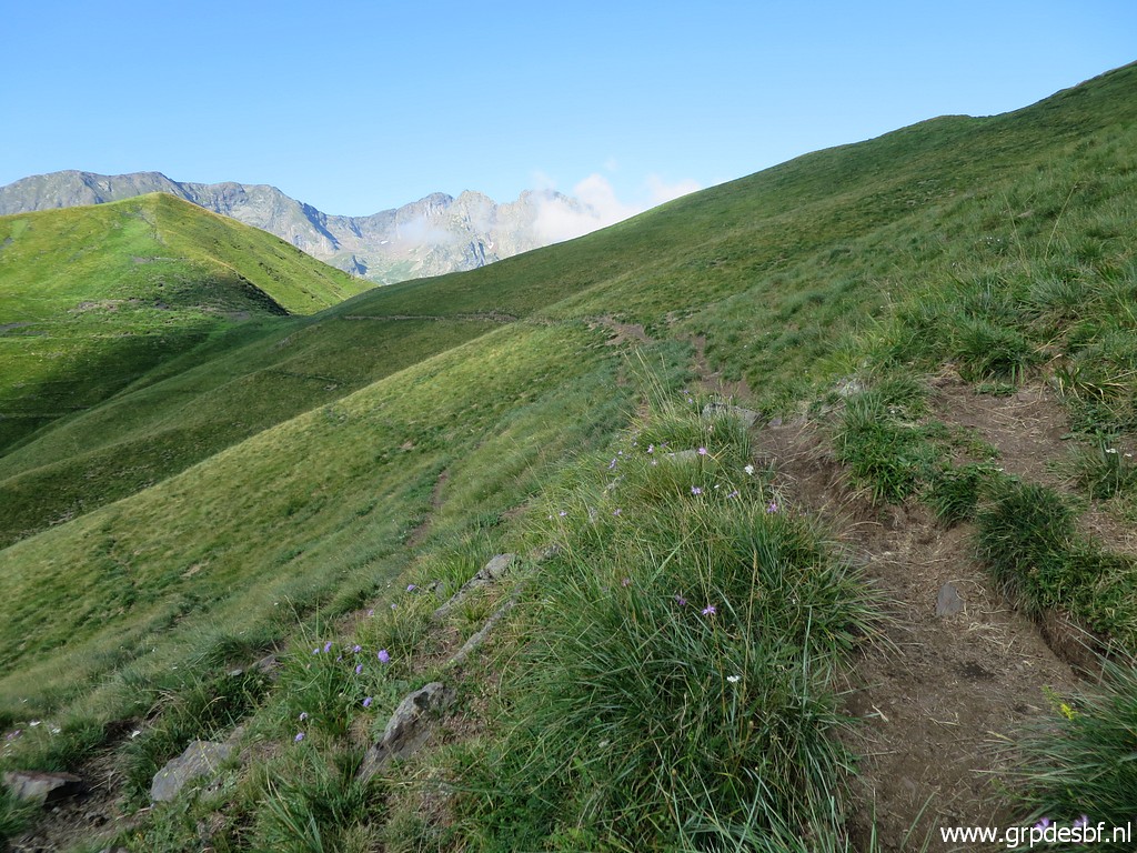 |
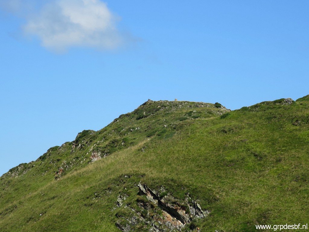
No waymarks along the path. I'm heading to a kind of pass on the borderridge click photo to enlarge |
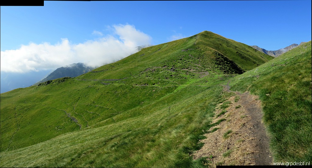 |
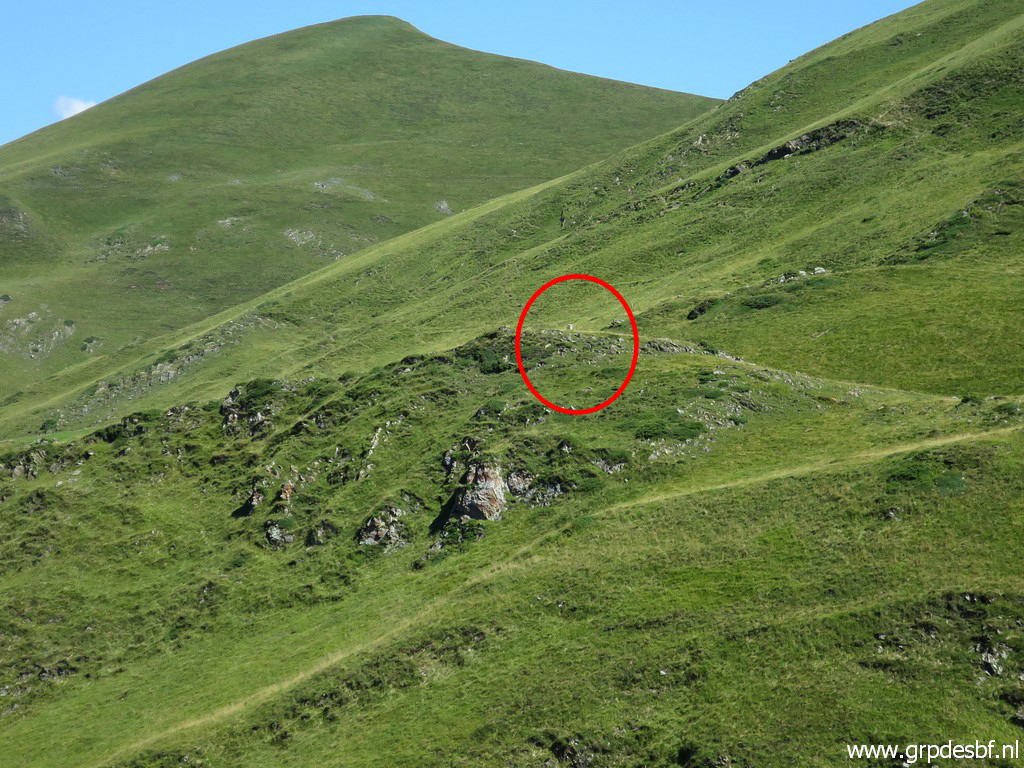
and getting closer now. Bm337 is on the top of the hill ahead. click photo to enlarge |
 |
But I continue along the hillside towards bm336. This picture: looking back to that pass between bm337 and 338 click photo to enlarge |
 |
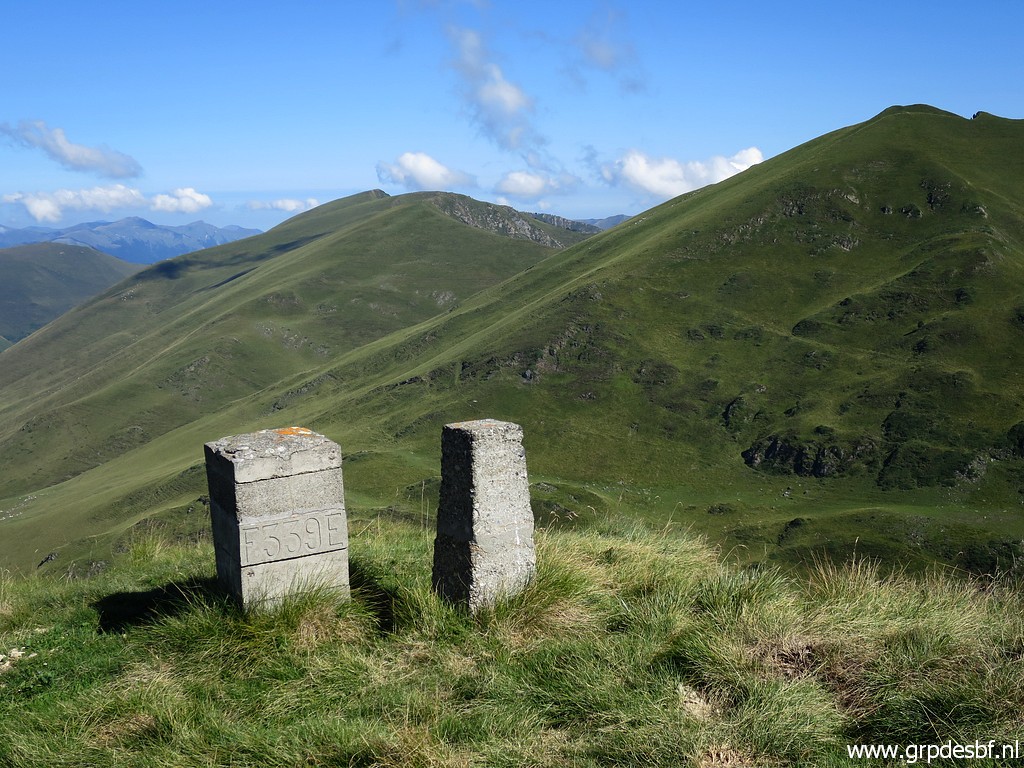
Approaching the pass where bm336 is. click photo to enlarge |
 |
Zoom-in click photo to enlarge |
 |
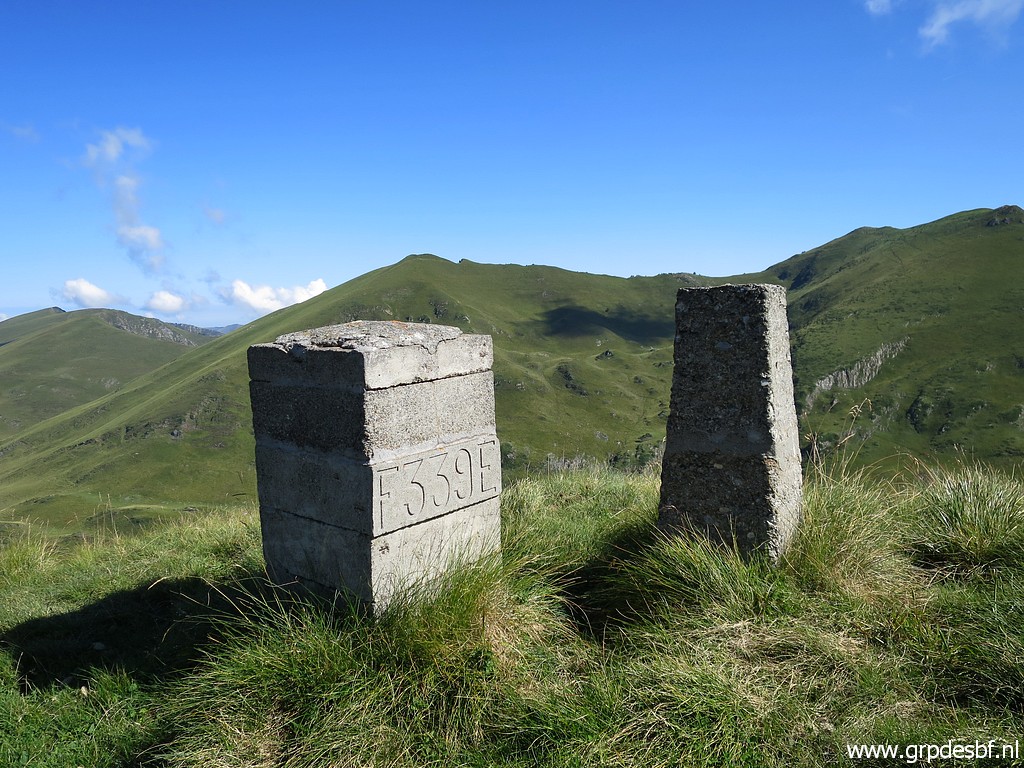
Almost at bm336 click photo to enlarge |
 |
I'm
at the most southern point of my loop. I was here yesterday. Bm336 in
front and looking north to the hilltop to climb to get to bm337. You can spot a bifurcation at this picture: straight ahead is climbing the borderridge, to the right is the trail along the hillside where I came from. click photo to enlarge |
 |
Getting uphill, it's a tough climb uphill. click photo to enlarge |
 |
Bm337, looking north click photo to enlarge |
 |
Bm337 click photo to enlarge |
 |
Bm337 click photo to enlarge |
 |
Bm337, looking south click photo to enlarge |
 |
I'm descending north, towards the 'pass' between bm337 and 338 click photo to enlarge |
 |
Beyond that 'pass' climbing to bm338 click photo to enlarge |
 |
Bm338 click photo to enlarge |
 |
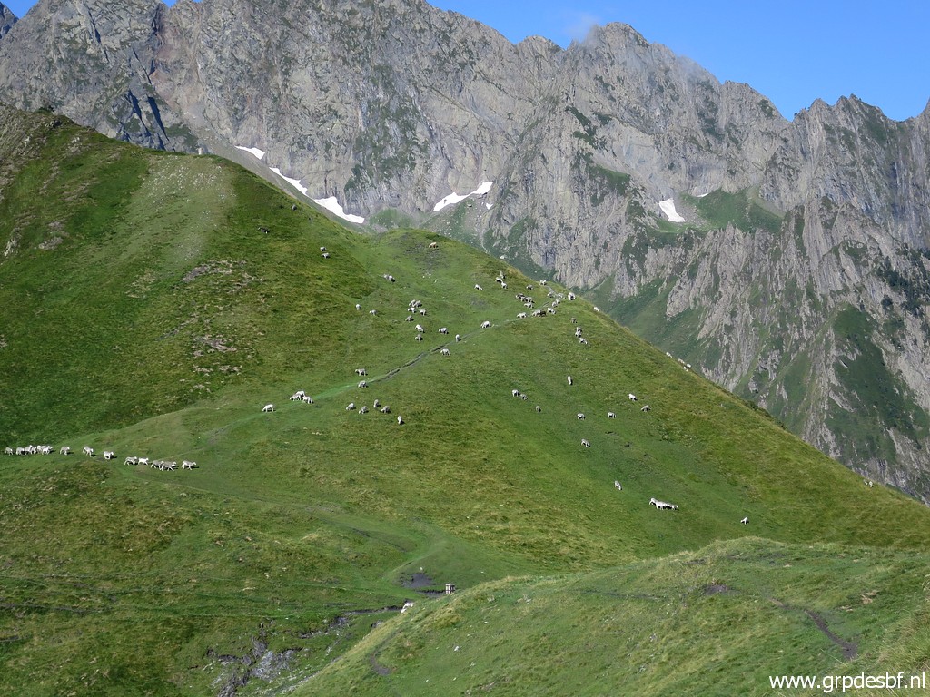
Further on, looking north: to the east rim of the valley where I camped the night. click photo to enlarge |
 |
Bm339 is further on. click photo to enlarge |
 |
Bm339 with an unknown marker besides it. click photo to enlarge |
 |
In front: the valley where I came from. click photo to enlarge |
 |
Zoom-in to my bivouac-spot (spot the drinking tub for the cattle) click photo to enlarge |
 |
Bm340 is down below click photo to enlarge |
 |
and visible on this zoom-in. But descending is not obvious because a direct route gets too steep. The best way is to descend on the west-side of the ridge. click photo to enlarge |
 |
Having arrived at bm340 click photo to enlarge |
 |
Bm340 click photo to enlarge |
 |
Bm340 The borderline descends further, crosses the dirtroad (with the unnumbered bordercross, found yesterday) and climbs to bm341. Bm341 is already visible in the far distance. click photo to enlarge |
 |
but only visible by zooming-in click photo to enlarge |
 |
Looking
back to the borderridge south: you can see that the right side
(=western side) is suitable for a decent and save descent. click photo to enlarge |
 |
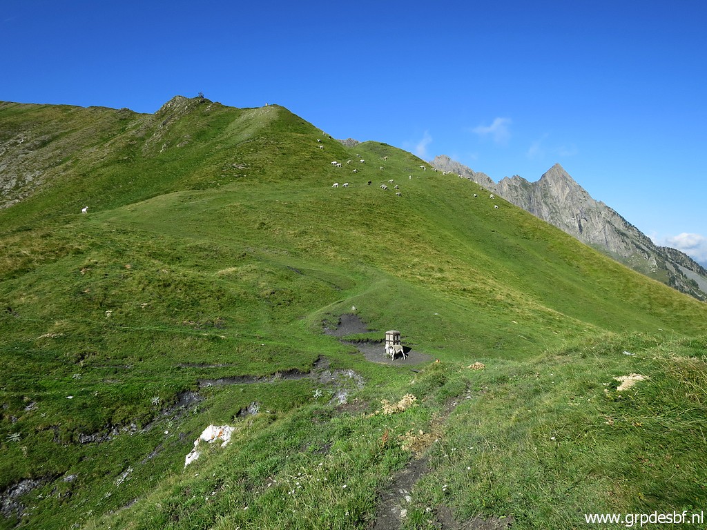
From bm340 I descend towards my camping spot of last night click photo to enlarge |
 |
to have a break. From this spot, bm341 click photo to enlarge |
 |
is visible on this zoom-in click photo to enlarge |
 |
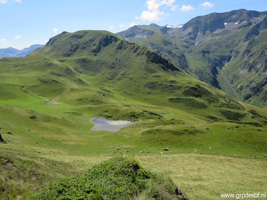
There are several ways to get to bm341, I choose this scenic route click photo to enlarge |
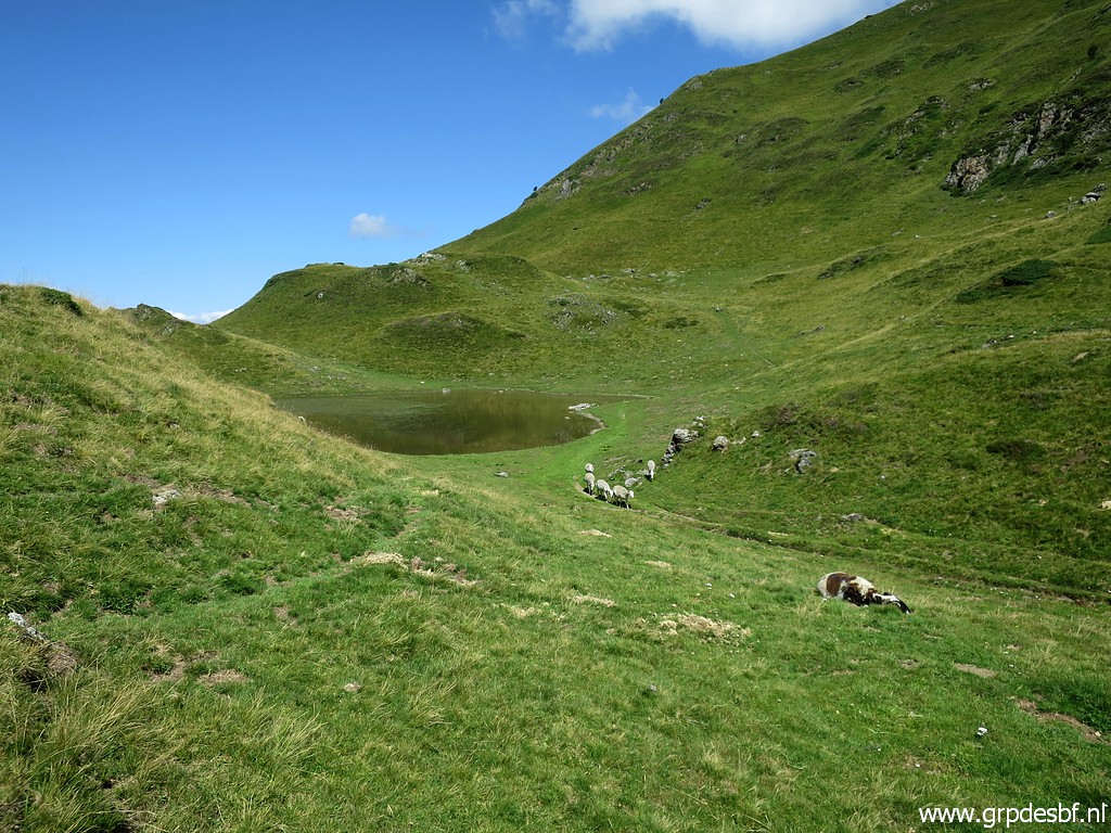 |
along this pond. Another way might be by descending along the dirtroad west, visit the unnumbered bordercross CI340 and then climb the hillside to the north. click photo to enlarge |
 |
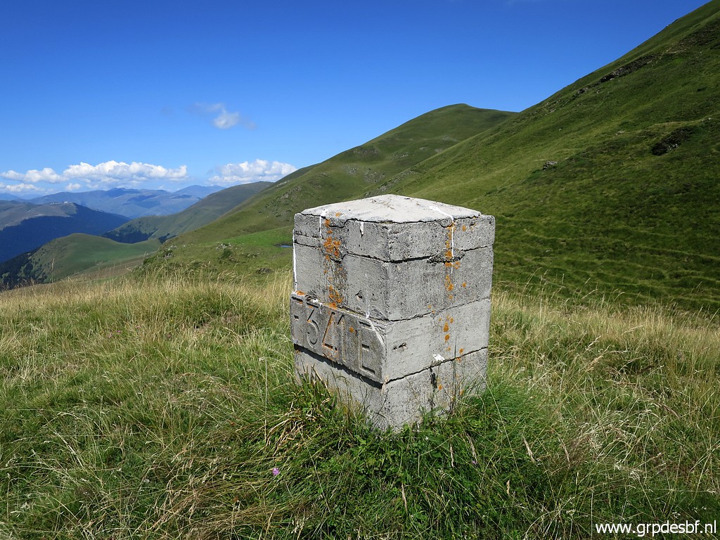
Bm341 click photo to enlarge |
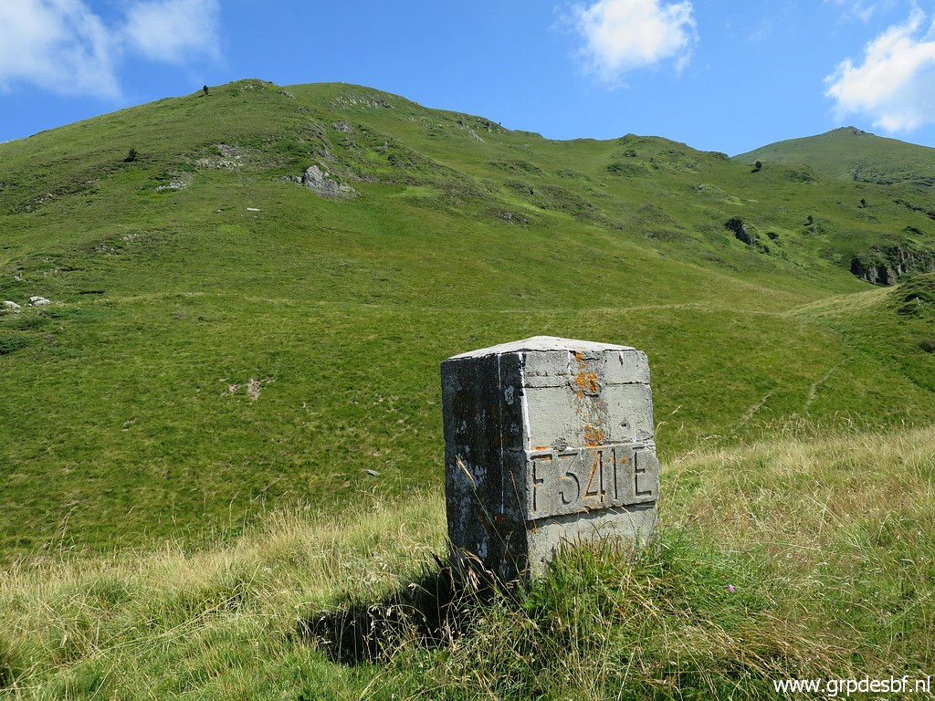 |
Bm341, looking forward to the hillridge to climb. click photo to enlarge |
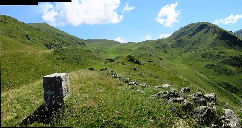 |
From bm341 looking back south. The hilltop to the right is the borderridge with bm339 and 338. The valley to the left is still within the watershed watering to France but has been left to Spain. click photo to enlarge |
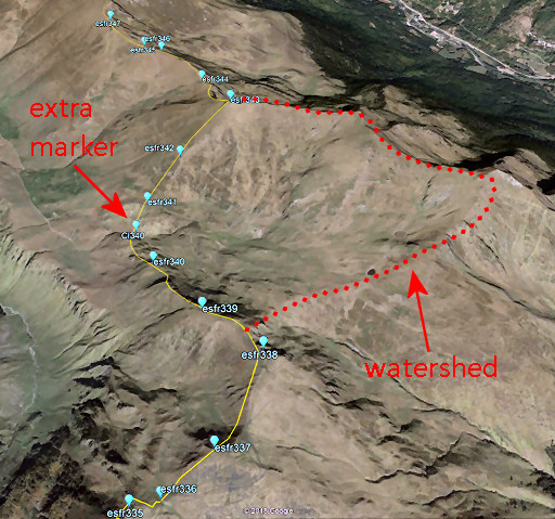 |
Let's show that watershed-story again. Between bm338 and 343 the borderline leaves the watershed, ceding the valley of Roumingou to Spain. Between bm340 and 341 the borderline crosses the dirtroad and that's where an extra marker was engraved. The international bordercommission that reinstalled the since long vanished bordermarkers in this region in the 1950-ies, decided to engrave that extra marker. CI340 means "croix intermédiaire 340". |
 |
Bm341 click photo to enlarge |
 |
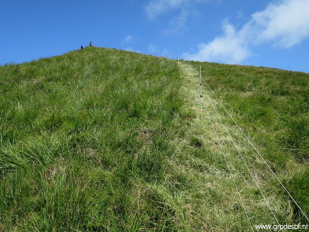
Then it's a tough climb uphill click photo to enlarge |
 |
with this view back to the valley where I slept last night and the distinctive borderridge going south. click photo to enlarge |
 |
Zoom-in towards bm340 click photo to enlarge |
 |
and another zoom-in to bm341. click photo to enlarge |
 |
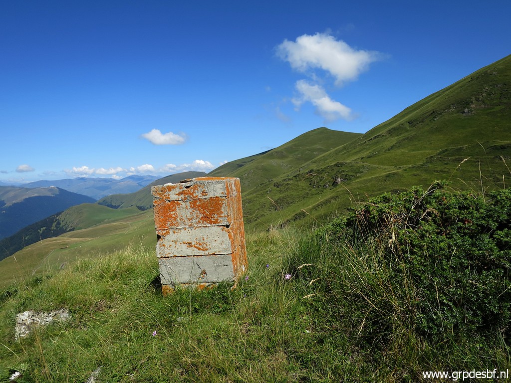
Bm342 is halfway uphill. click photo to enlarge |
 |
Bm342 click photo to enlarge |
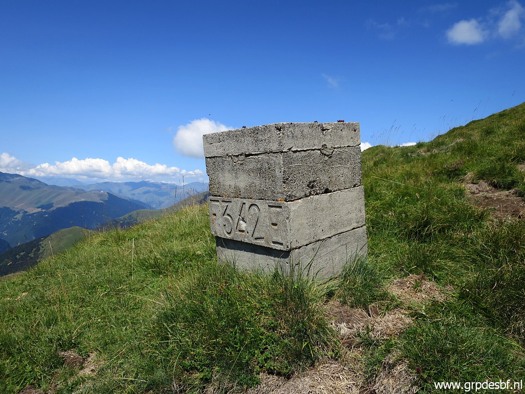 |
Bm342 click photo to enlarge |
 |
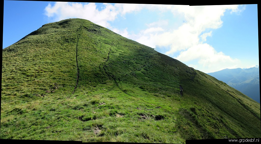
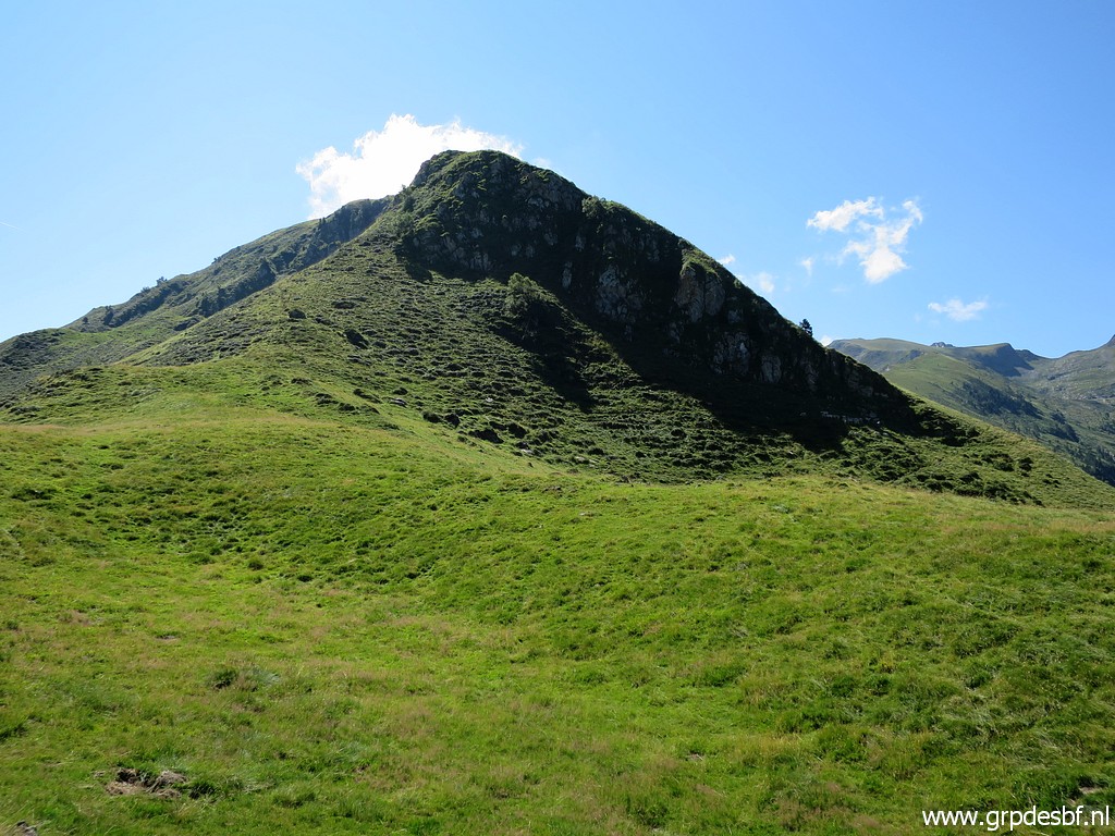
Almost at the summit click photo to enlarge |
 |
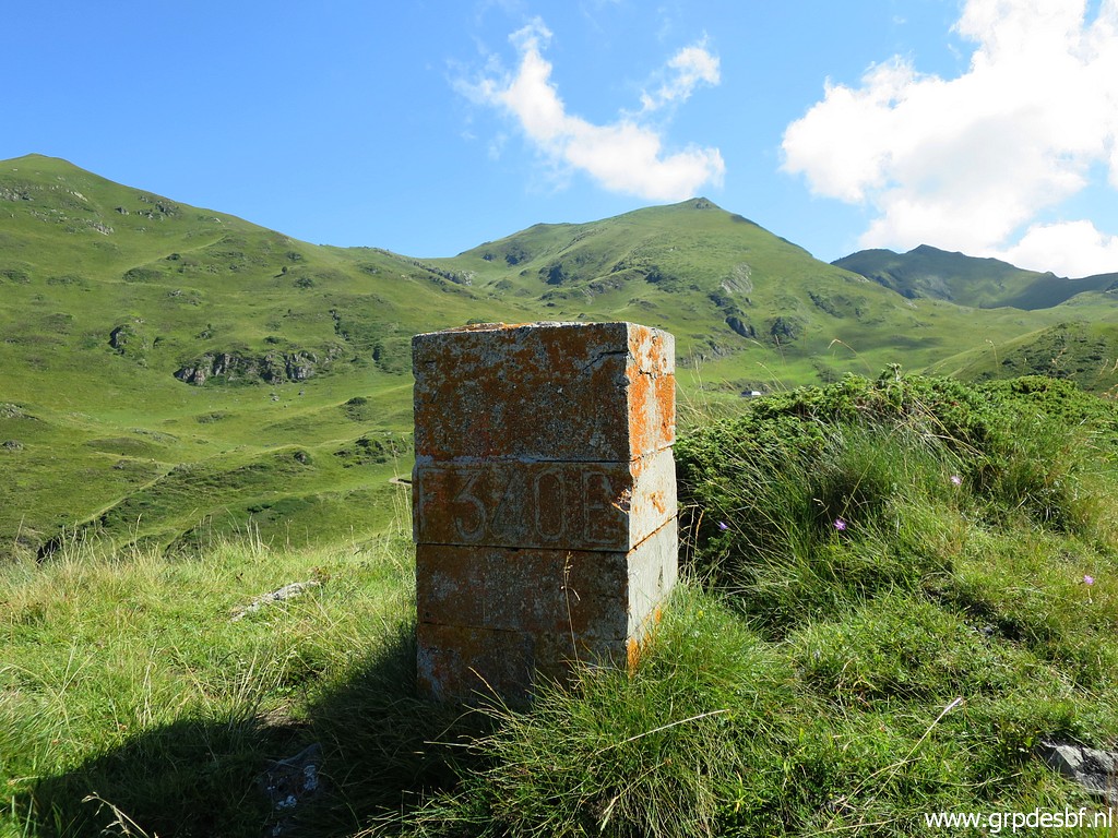
with bm343 click photo to enlarge |
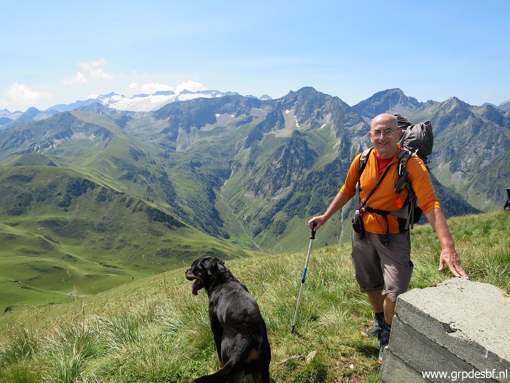 |
I meet a Spanisch hiker with his dog. click photo to enlarge |
 |
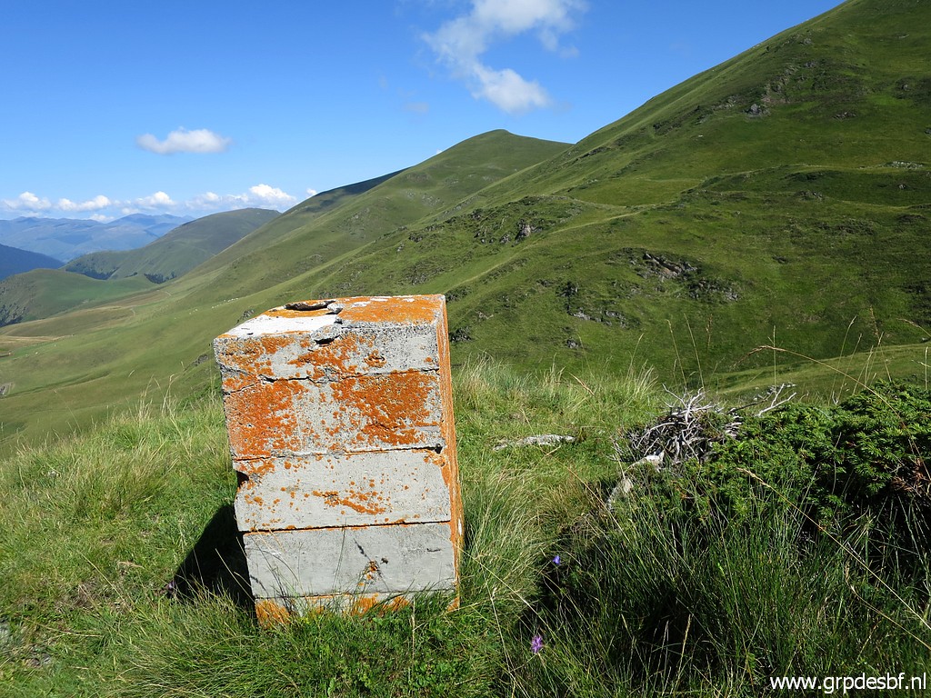
Bm343 click photo to enlarge |
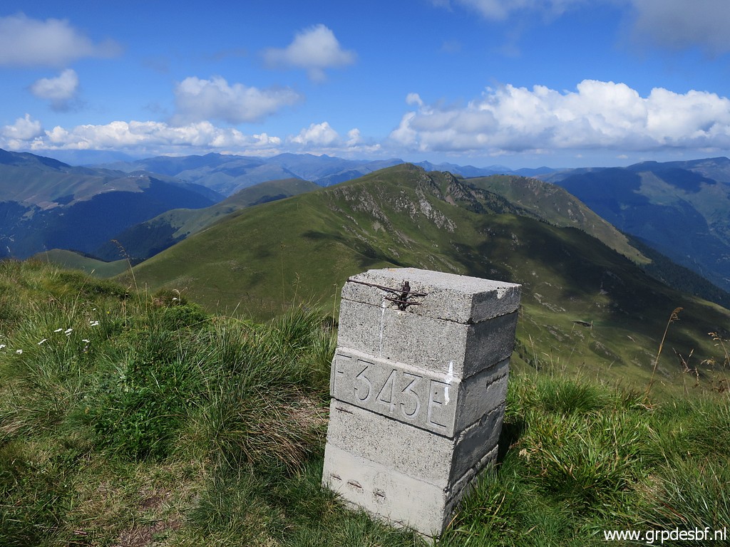 |
Bm343, looking ahead. Another descent awaits. click photo to enlarge |
 |
At the foot of bm343 a local marker. click photo to enlarge |
 |
Descending to bm344 click photo to enlarge |
 |
which is surprisingly no stone pillar but a bordercross. click photo to enlarge |
 |
Bm344 click photo to enlarge |
 |
Bm344 click photo to enlarge |
 |
Bm344, looking back to where I came from. click photo to enlarge |
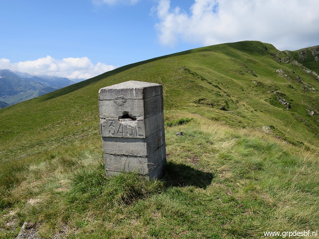 |
Then it's just following the ridge to bm345 click photo to enlarge |
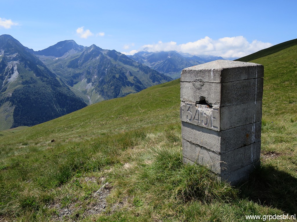 |
Bm345 click photo to enlarge |
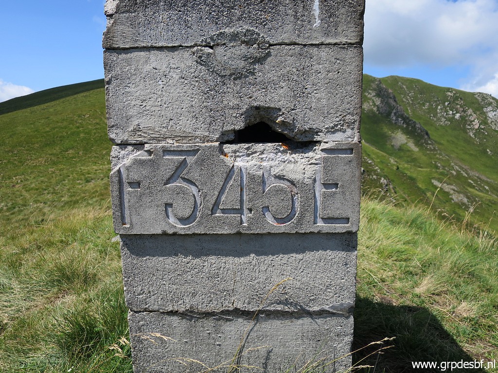 |
Bm345 click photo to enlarge |
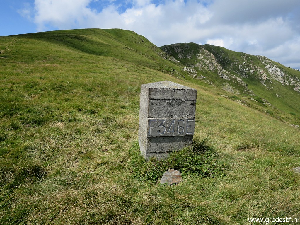 |
Proceeding to bm346 click photo to enlarge |
 |
Bm346 click photo to enlarge |
 |
Further on: bm347 click photo to enlarge |
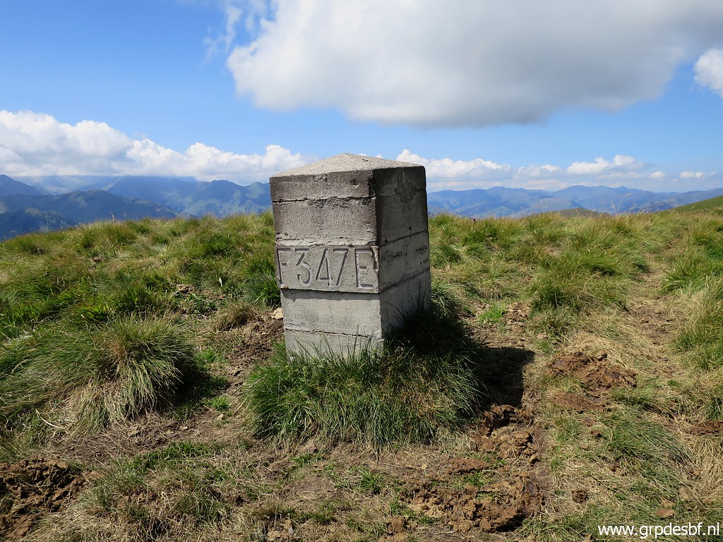 |
Bm347 click photo to enlarge |
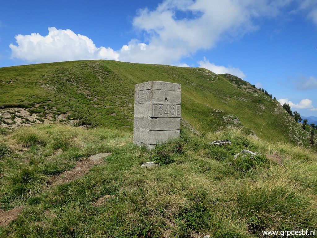 |
To bm348 click photo to enlarge |
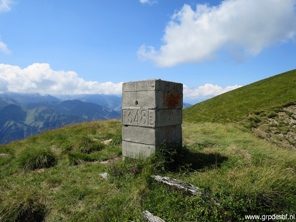 |
Bm348 click photo to enlarge |
 |
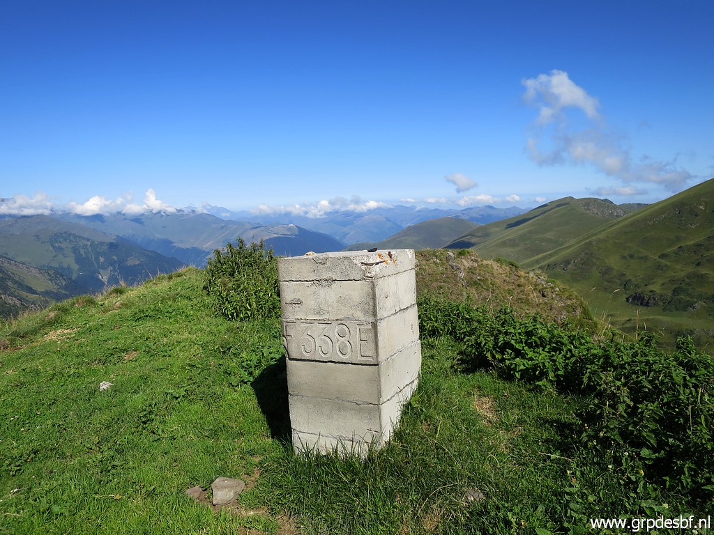
Arriving at bm349 click photo to enlarge |
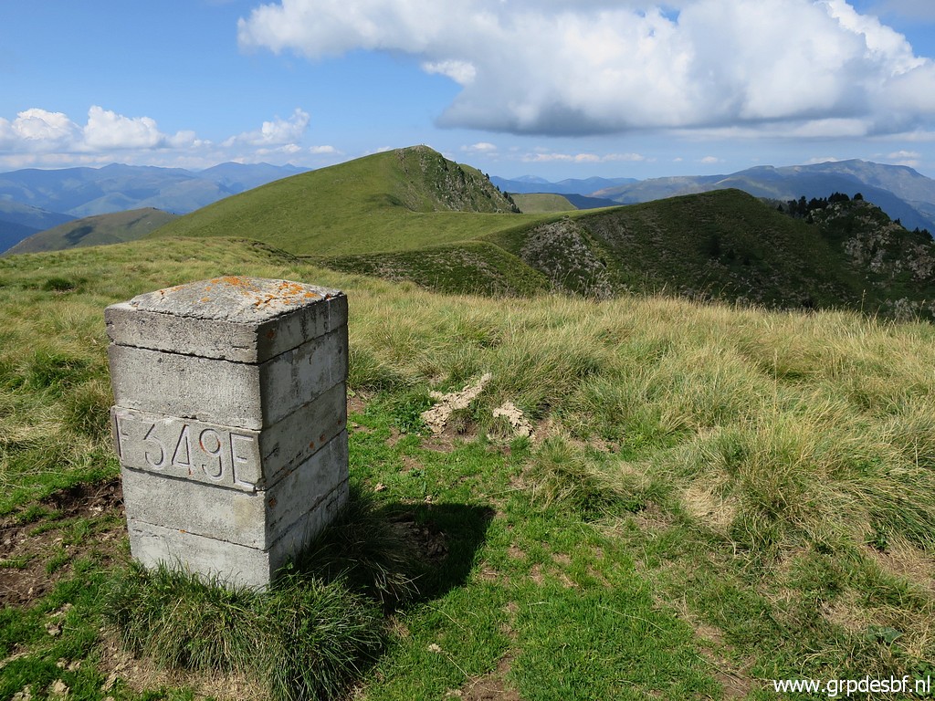 |
Bm349, looking ahead to the rest of the borderridge click photo to enlarge |
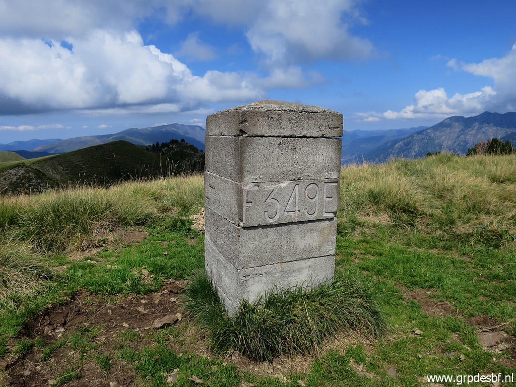 |
Bm349 click photo to enlarge |
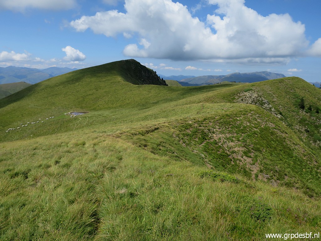 |
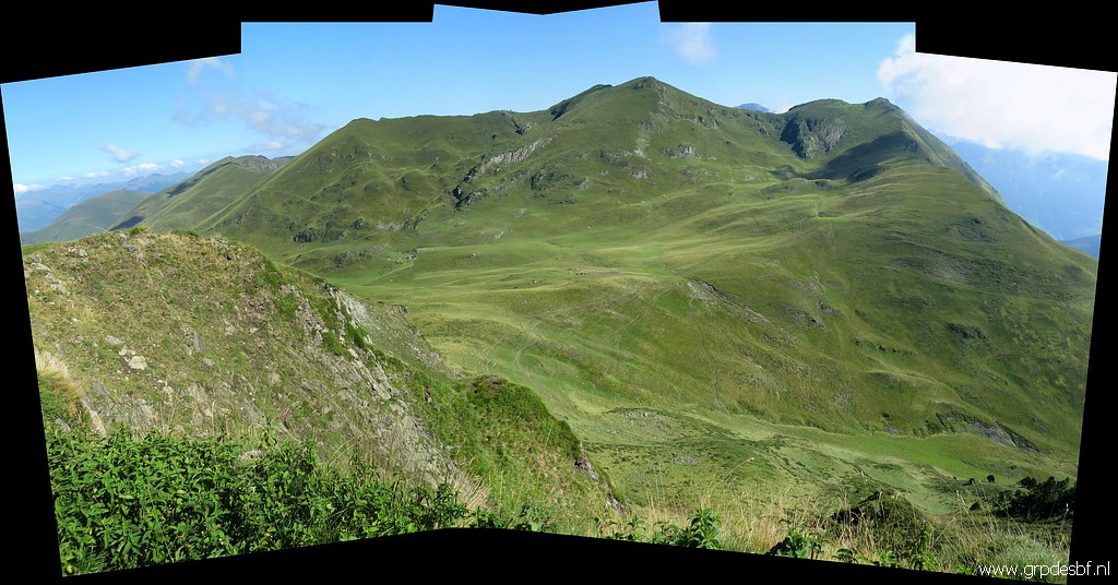
Continuing along the ridge click photo to enlarge |
 |
to bm350 click photo to enlarge |
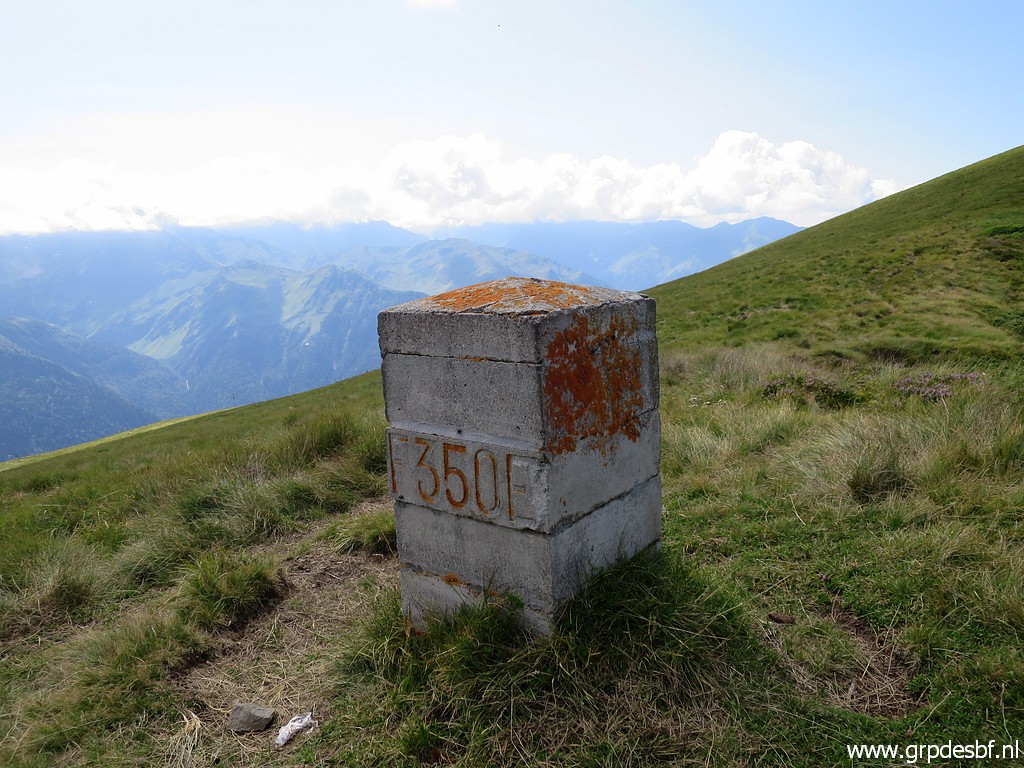 |
Bm350 click photo to enlarge |
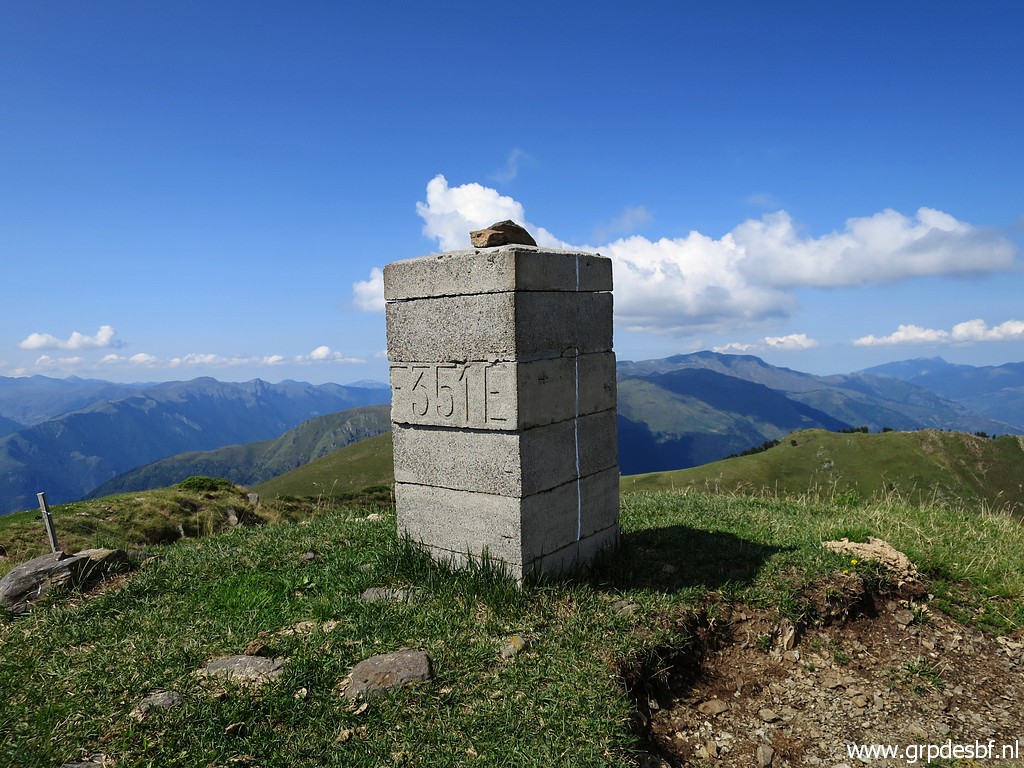 |
Continuing to bm351 click photo to enlarge |
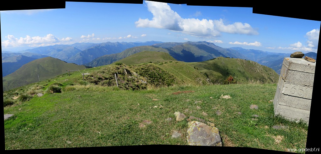 |
Bm351 click photo to enlarge |
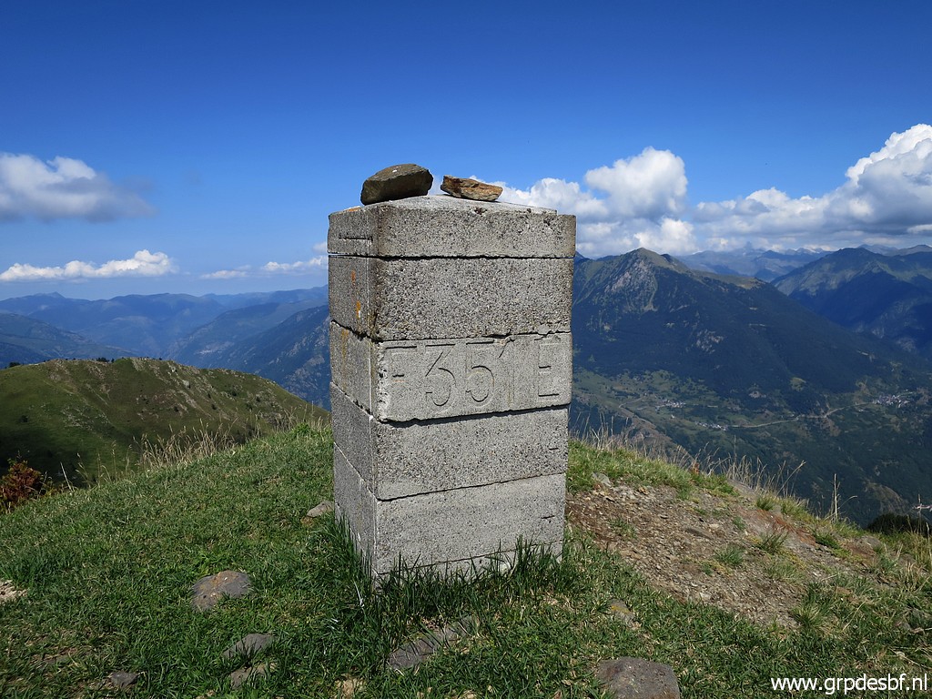 |
Bm351 click photo to enlarge |
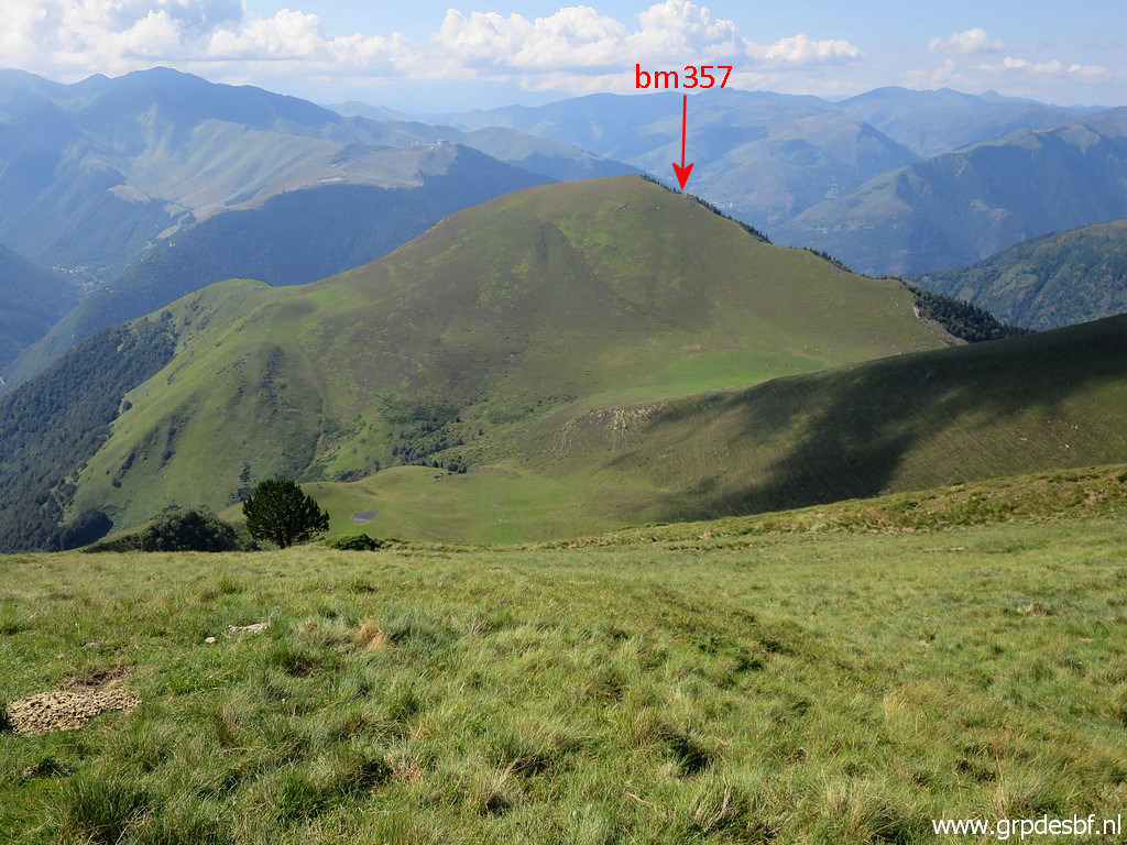 |
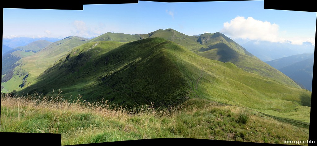
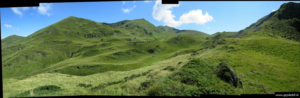
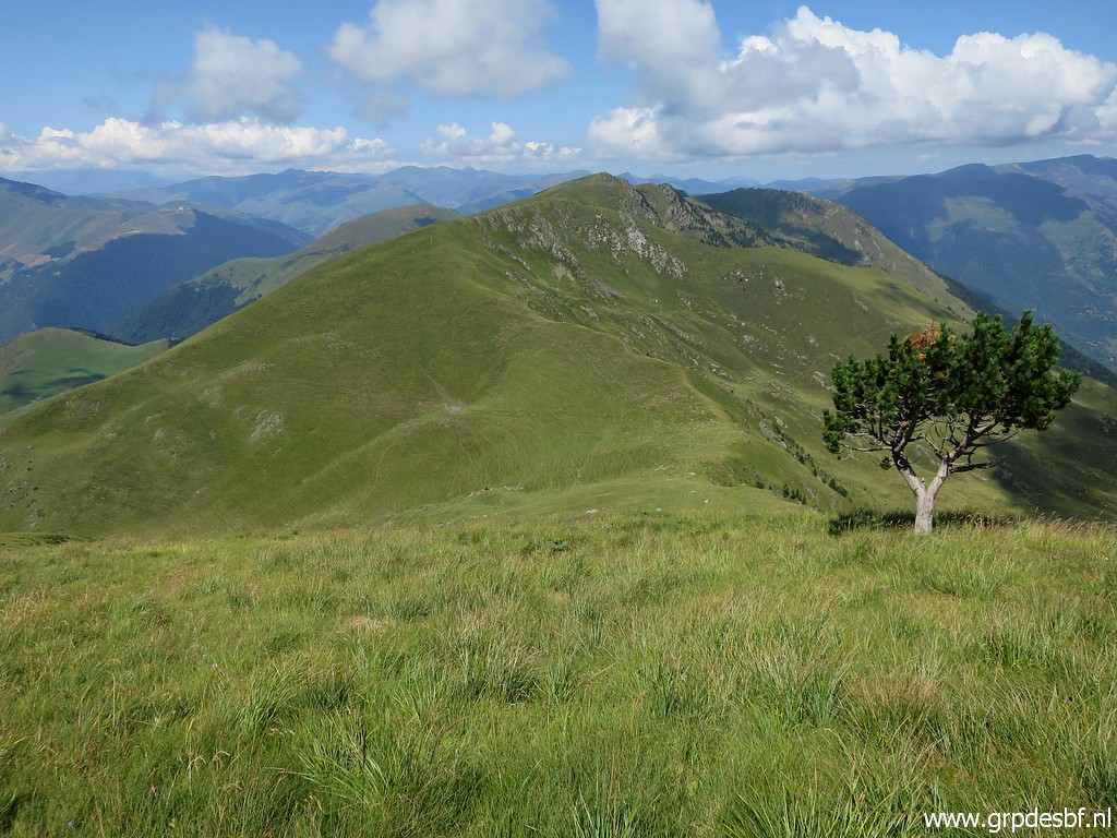
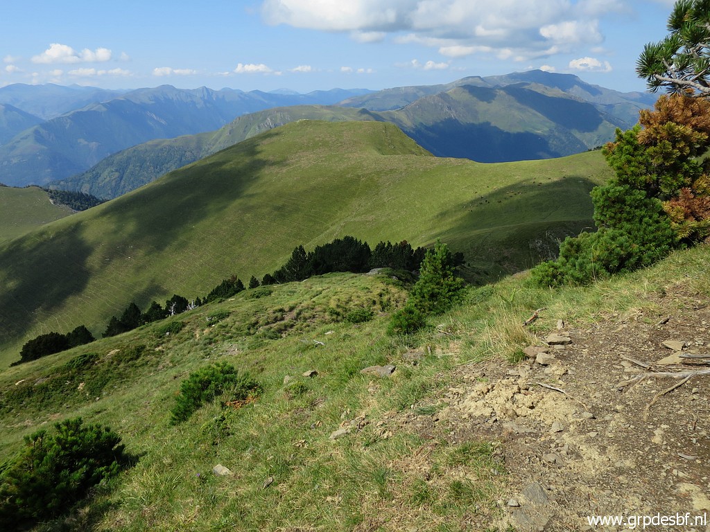
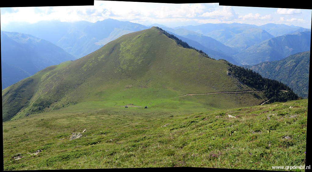
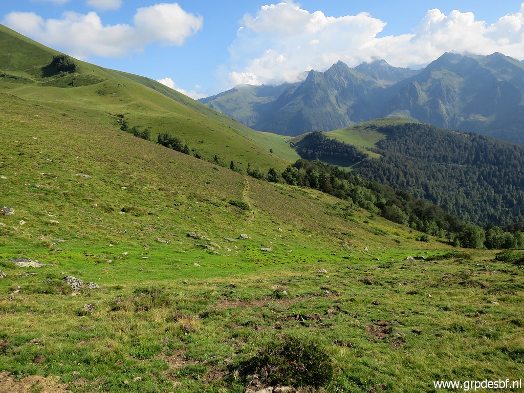
In the distance the hilltop of Tuc deth Plan dera SèrraTuc deth Plan dera SèrraTuc deth Plan dera Sèrra with bm357 a bit downhill. click photo to enlarge |
 |
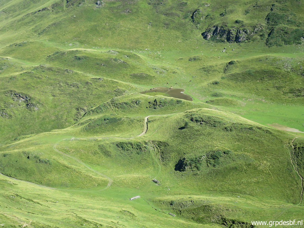
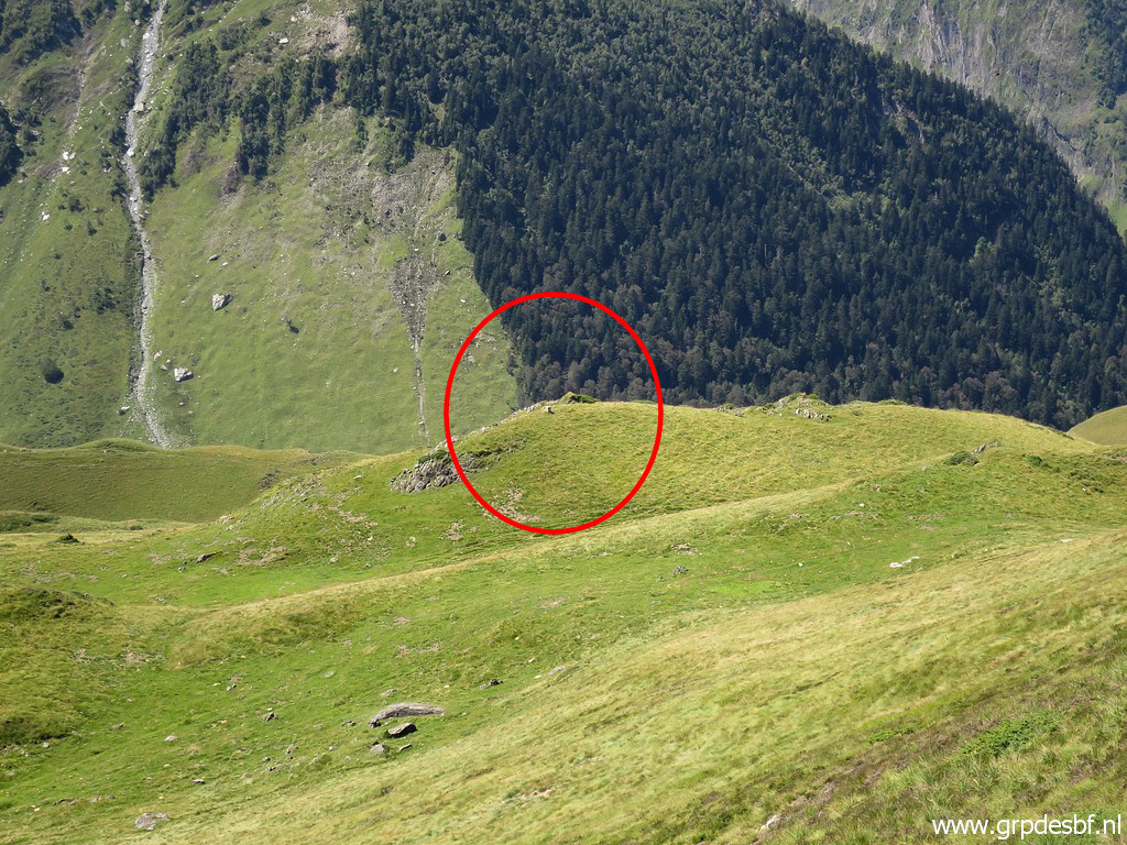
When zooming in, I spot click photo to enlarge |
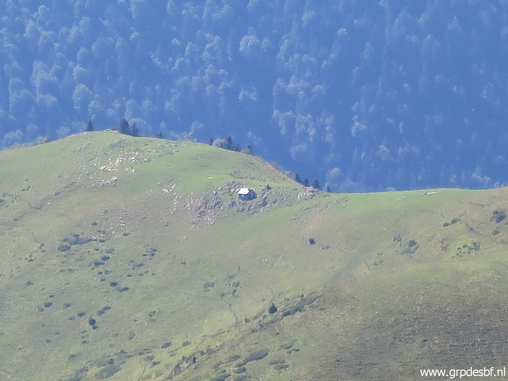 |
a cabin. Too far away from 'my' routes to be useful. click photo to enlarge |
 |
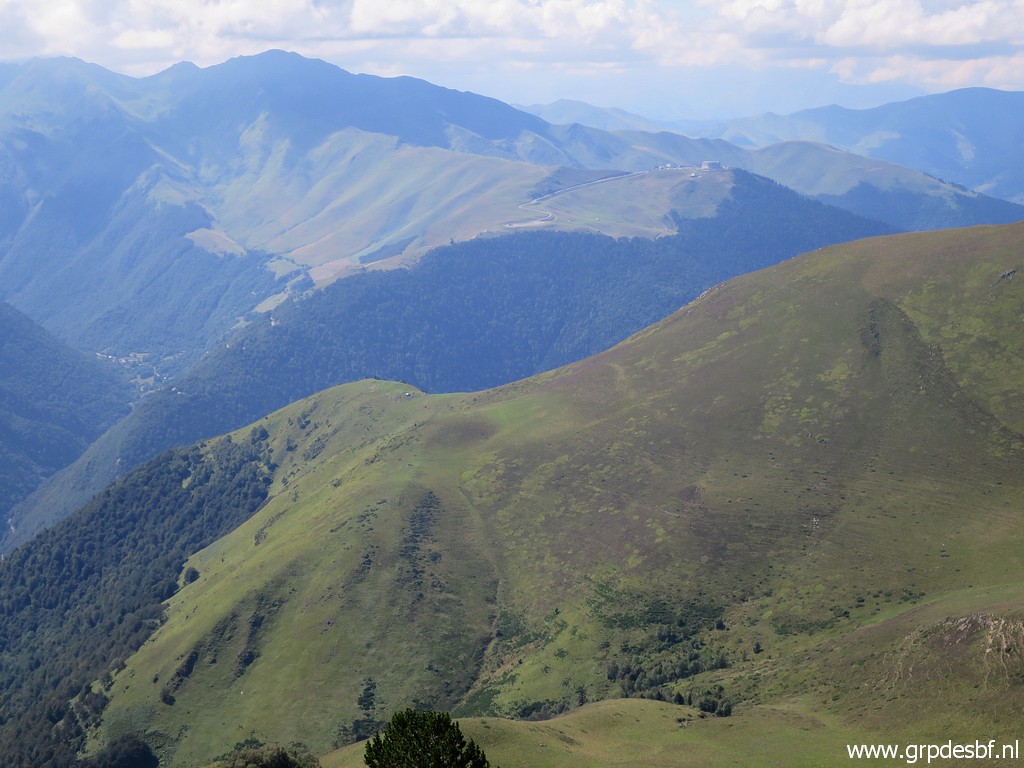
Continuing click photo to enlarge |
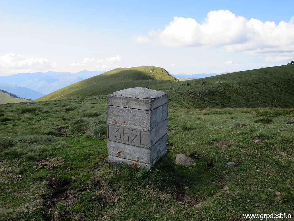 |
to bm352 click photo to enlarge |
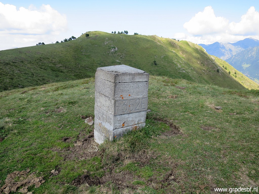 |
Bm352 click photo to enlarge |
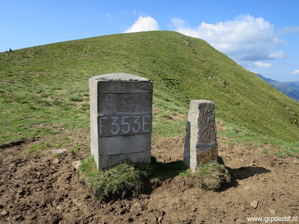 |
Further on bm353 click photo to enlarge |
 |
Continuing to bm353 click photo to enlarge |
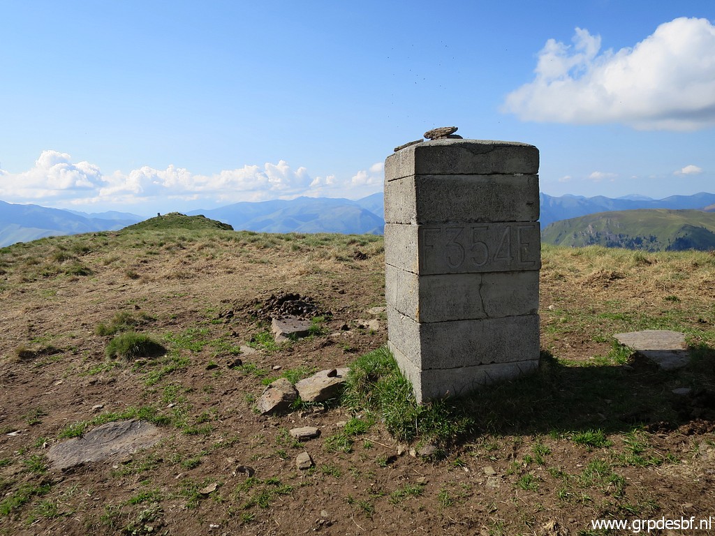 |
Continuing to bm354 click photo to enlarge |
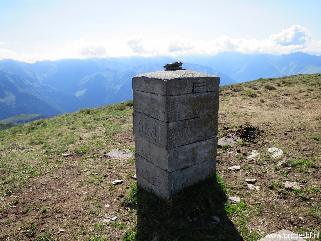 |
Bm354 click photo to enlarge |
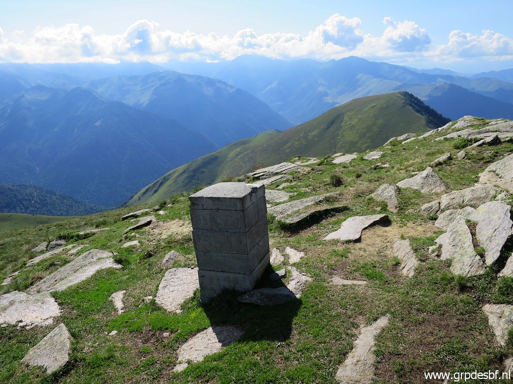 |
And to bm355 click photo to enlarge |
 |
Bm355 click photo to enlarge |
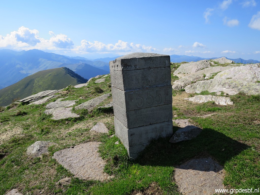 |
Bm355 click photo to enlarge |
 |
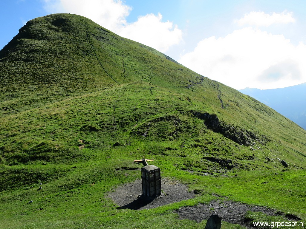
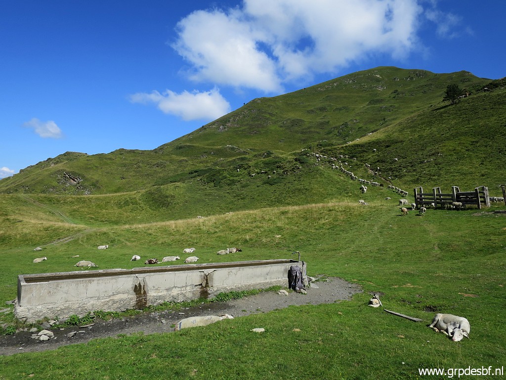
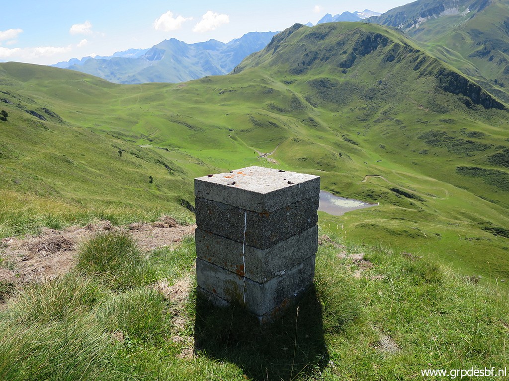
Now I have to descend to Col de Barèges click photo to enlarge |
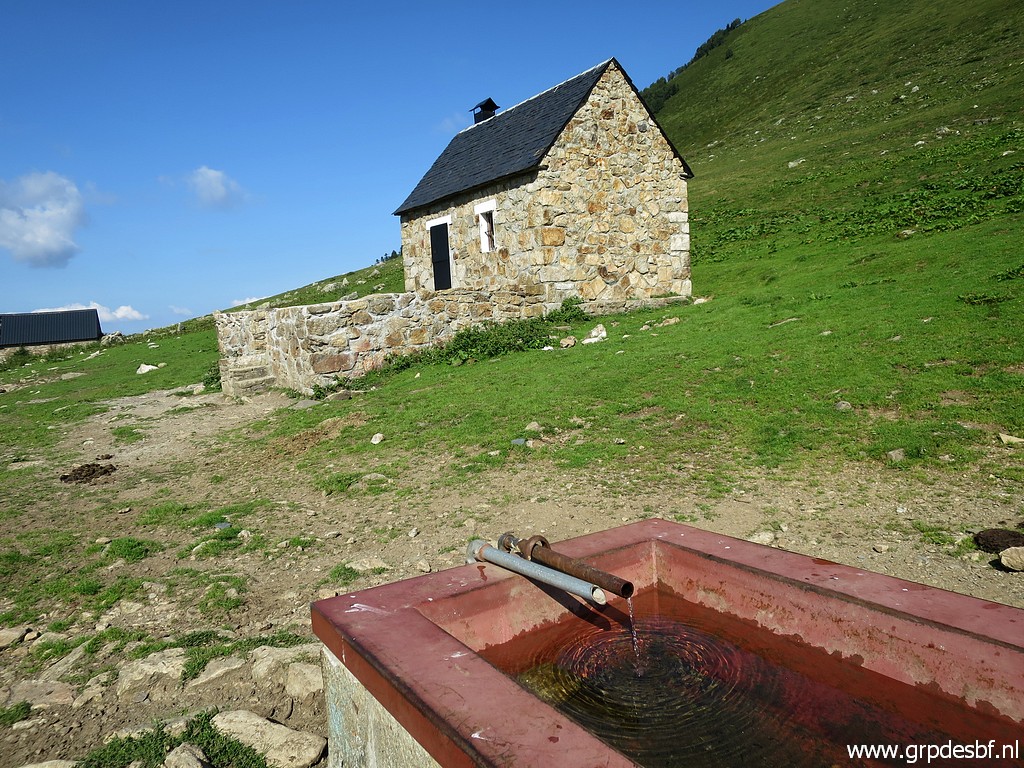 |
with this shepherd's cabin and a water source. click photo to enlarge |
 |
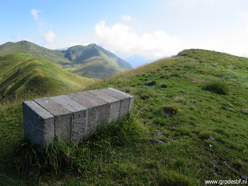
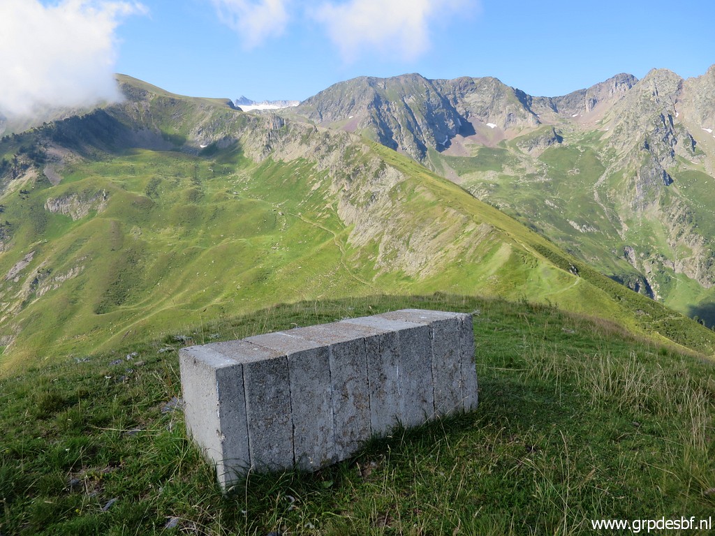
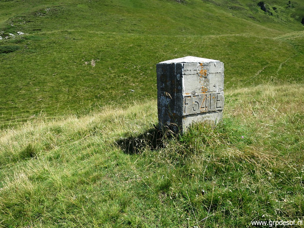
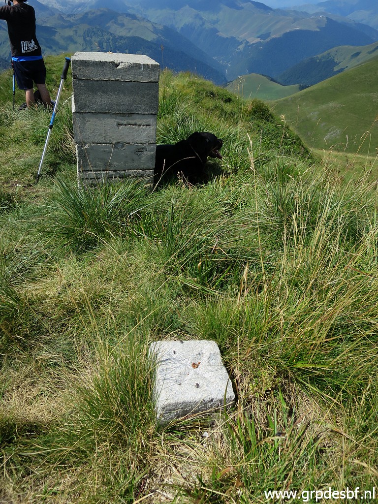
About 150m sw is bm356 click photo to enlarge |
 |
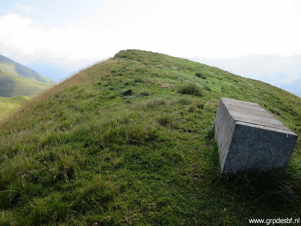
Bm356 click photo to enlarge |
 |
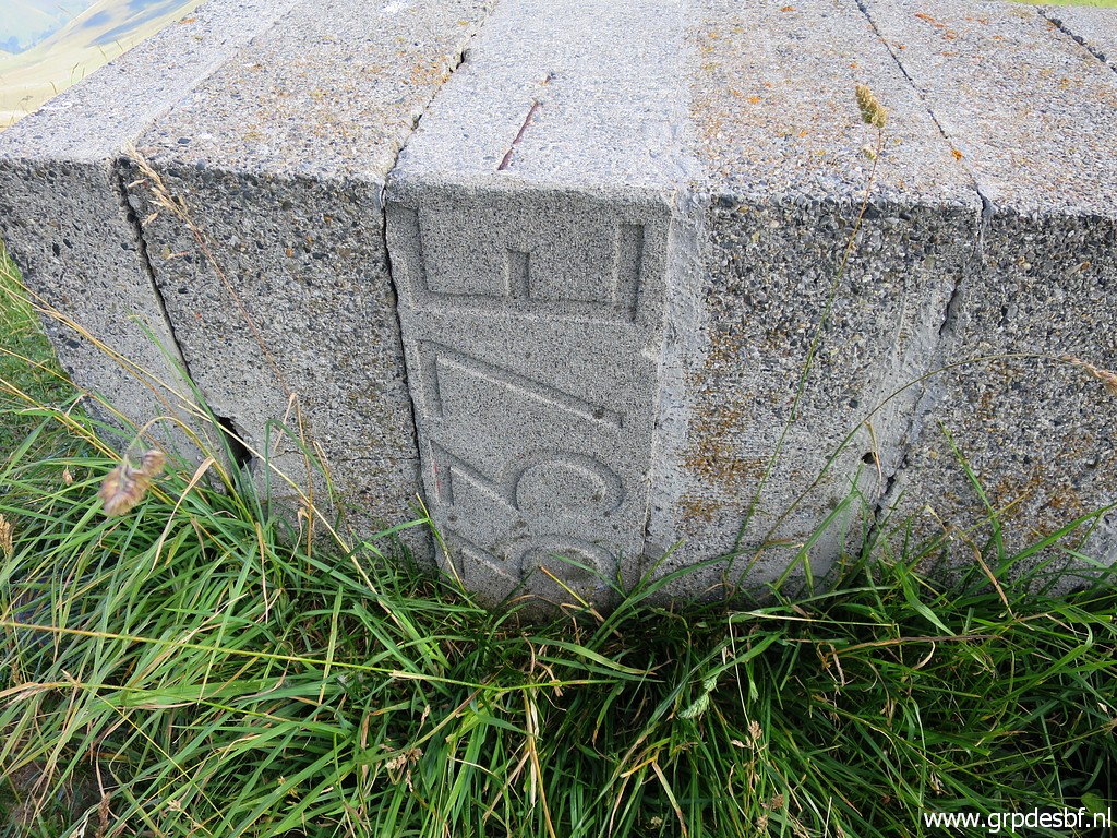
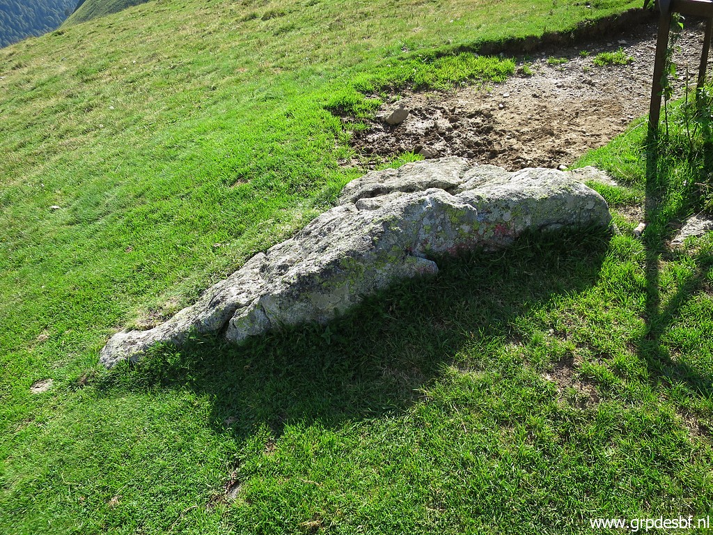
Bm356. The rock in front has two ancient weapons engraved. click photo to enlarge |
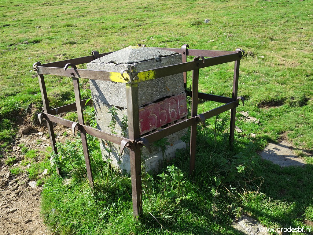 |
Bm356 click photo to enlarge |
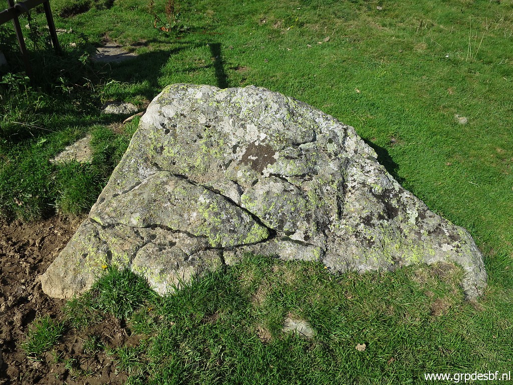 |
The rock click photo to enlarge |
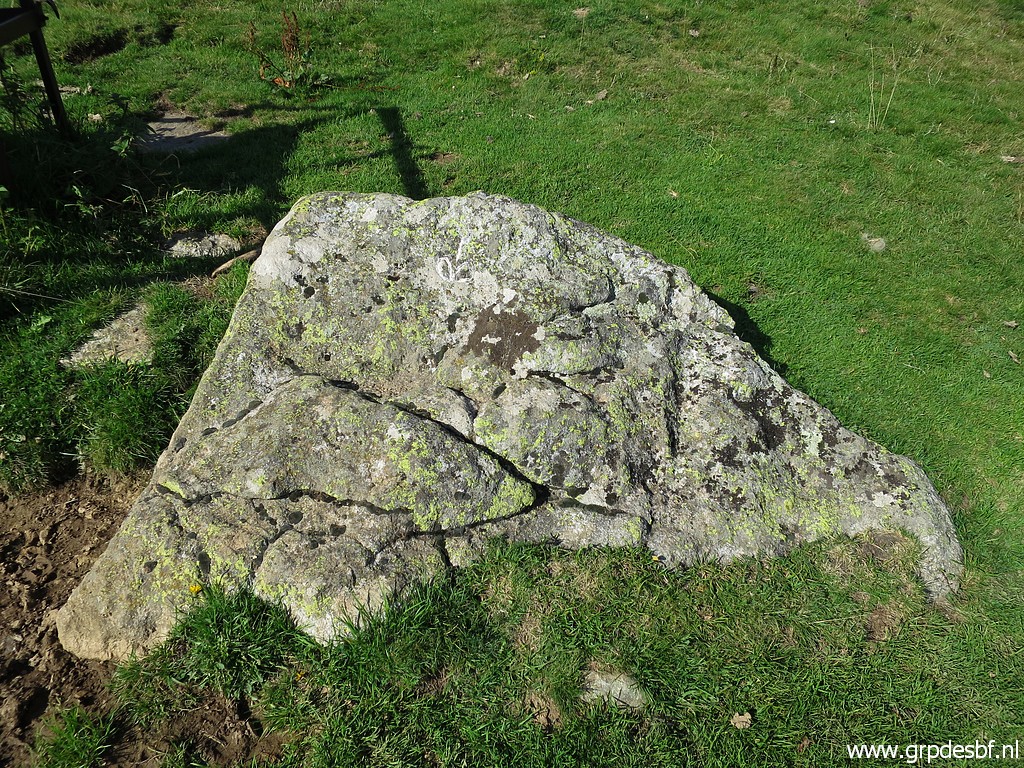 |
with on this side the the "Fleur de Lys", the lily-flower (white chalked by me) click photo to enlarge |
 |
and on the other side click photo to enlarge |
 |
the "barres d'Aragon", the circles of Aragon. That's how in the 1950-ies the original spot of bm356 was identified. The original bordermarkers in this region were since long disappeared and had to be reinstalled. click photo to enlarge |
 |
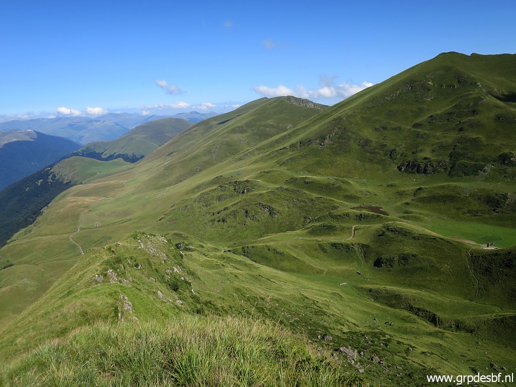
From the Col de Barèges a view south with click photo to enlarge |
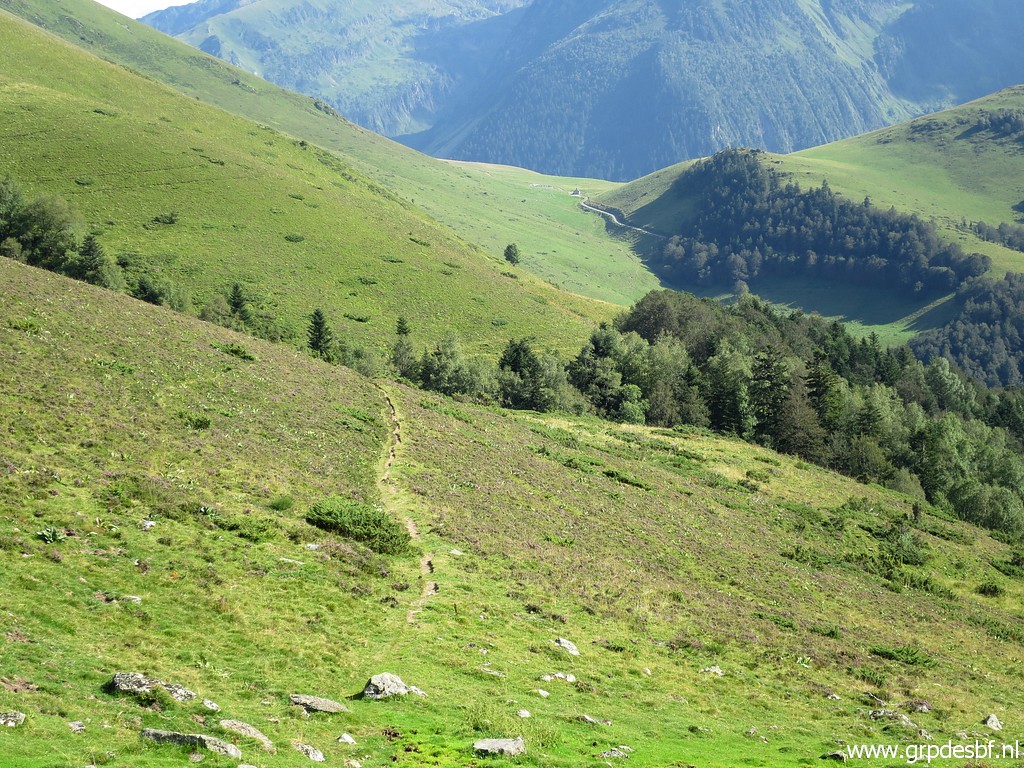 |
the trail which links further on with a dirtroad which continues to the south. That is the route of the main trail of the GRPdesBF. click photo to enlarge |
 |
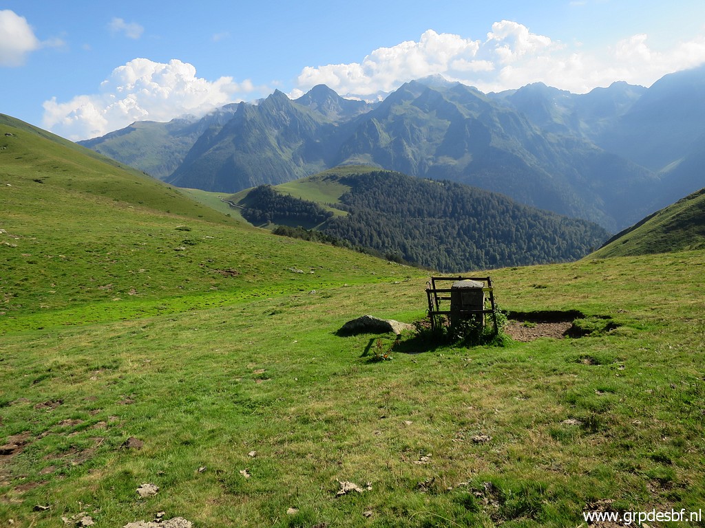
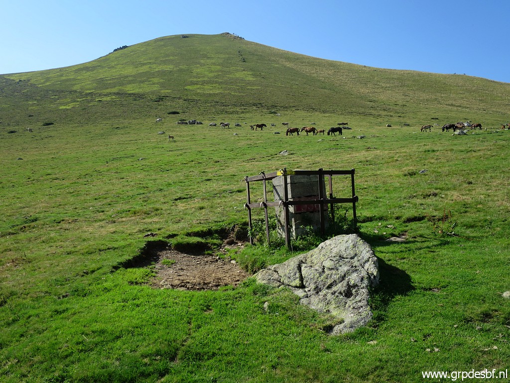
The last goal of today: a 'borne de paçage' and well marker V, about 350m sw from bm356. They were placed in the 19th century to delimitate the borders of Spanish-owned land on the French side of the border. Although no international demarcation, they were included in the treaties to regulate the grazing territory of the Spanish communities who owned land on French soil. They were also reinstalled in the 1950-ies, having vanished before. click photo to enlarge |
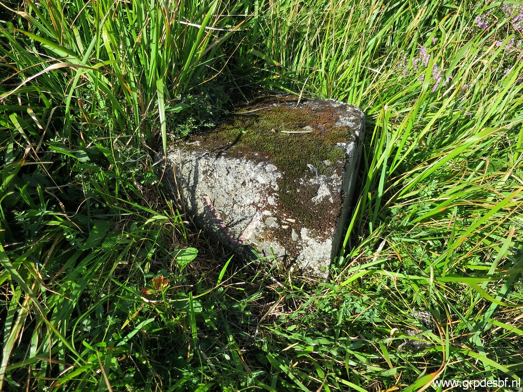 |
Charles Darrieu provided me with the gps-waypoints to find them. As far
as I know, he has been the first (and only one) to try to find them back. More information on this special page. click photo to enlarge |
 |
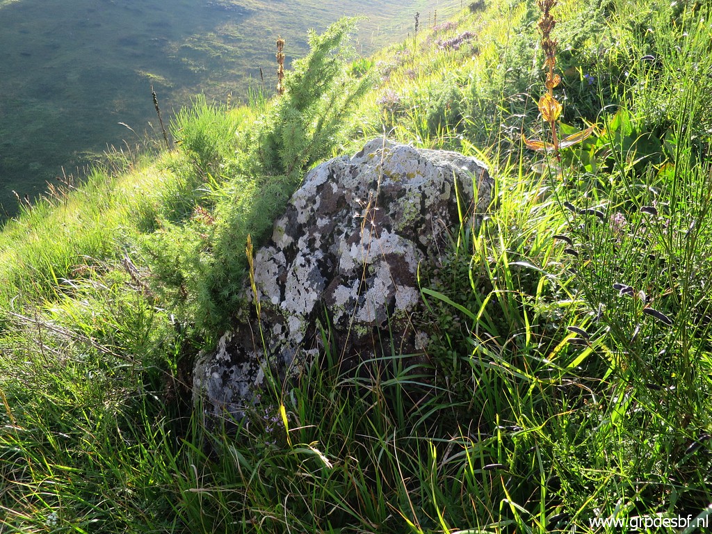
This is the rock which is about 10 meters uphill from marker V and is as such described in the treaty. click photo to enlarge |
 |
Close-up click photo to enlarge |
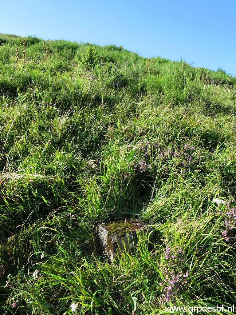 |
Bornes de paçage V click photo to enlarge |
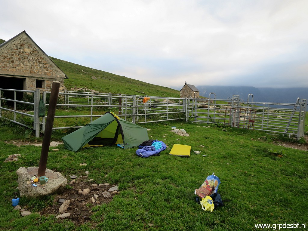 |
It has been enough, it feels like a long day. I return to Col de Barèges to pitch my tent. click photo to enlarge |