|
The
bordermarkers of the Pyrenees : all my trips
 |
|
| -
tuesday 23 july
2019 - Redoing bm058 & 059 |
 |
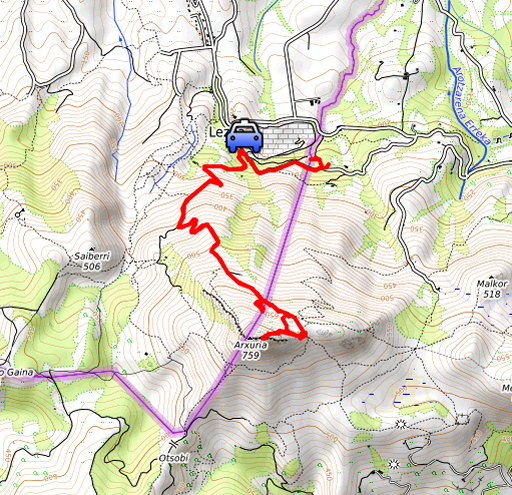 |
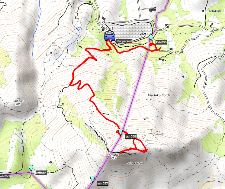
Summary: day 3 of a 5 days-trip to the Basque country, revisiting bordermarkers and checking my GRPdesBF-trail. Today: redoing bm058 and 059 starting from the parking of the Grottes of Sare. Our basecamp is camping Xokoan in Dantxarinea. Weather: it's going to be another very hot day but in the early morning it's still pleasant. On the ridge there is a strong wind. |
 track-20190723.kml
(click to open this trip in Google Earth or copy link to Google Maps; click right on this link to download gpx-version). The gps-track has not been manually corrected which explains the inaccuracy and misalignment at some points. For cartographic backgrounds: see the cartography-page Gps-waypoints of all bordermarkers (most recent version): kml: esfr-bordermarkers-all-waypoints.kml gpx: esfr-bordermarkers-all-waypoints.gpx |
|
 |
According to Garmin
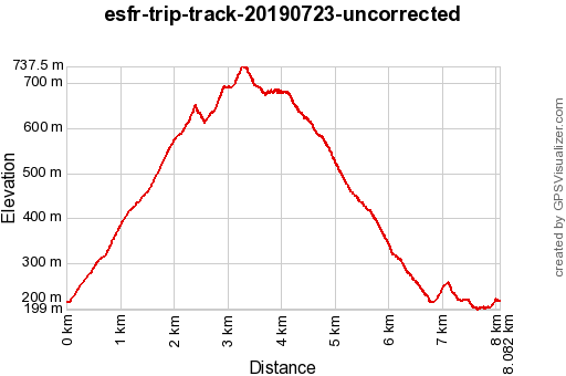
Basecamp (uncorrected track): Distance: 8,1 km Max-height: 737m Min-height: 200m Elevation: +753m -752m Total elevation: 1503m Start 07:34 Finish 11:50 Total time: 4:16 |
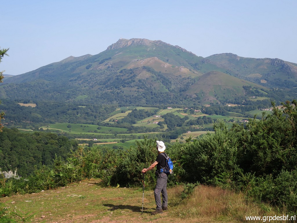
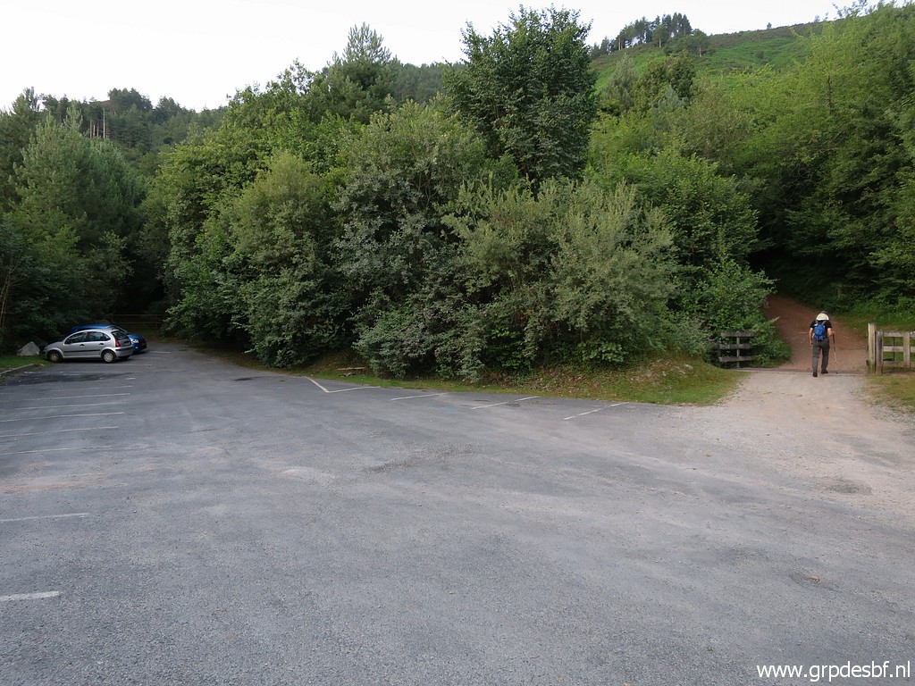 | We start at parking lot of the caves of Sare. We take a broad trail uphill (click photo to enlarge) |
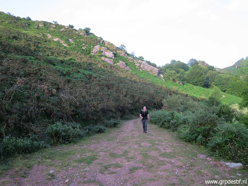 | which is a pleasant walk. It's still fresh in the early morning hours and higher up by the wind. (click photo to enlarge) |
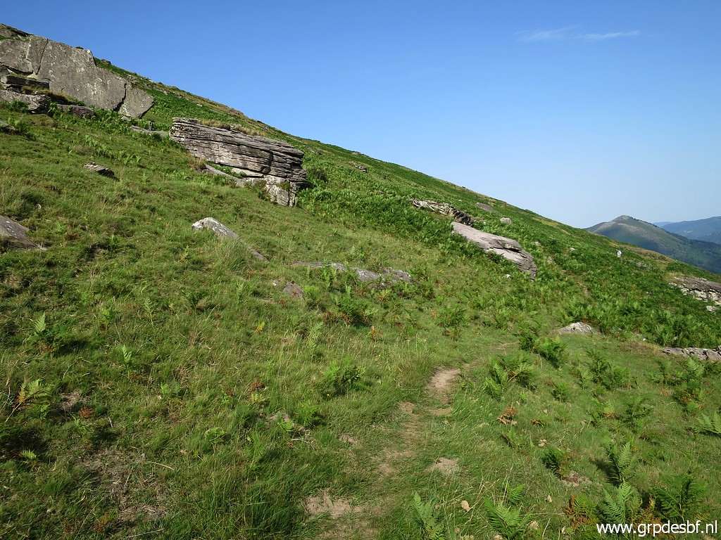
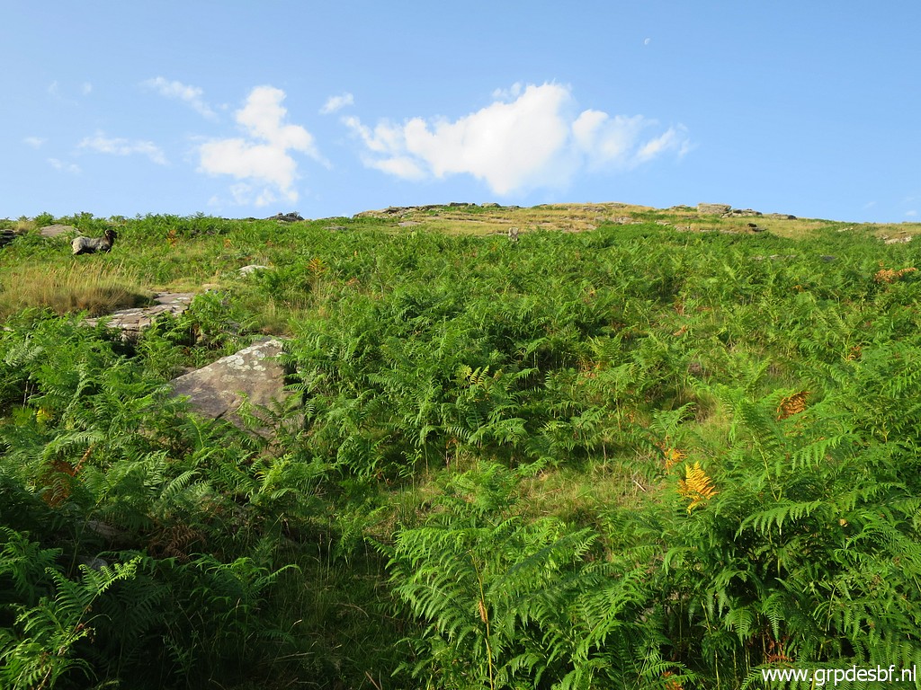 | Later on the trail gets 'thinner' but about at that division of broad path and thinner trail, I can spot to the right uphill (click photo to enlarge) |
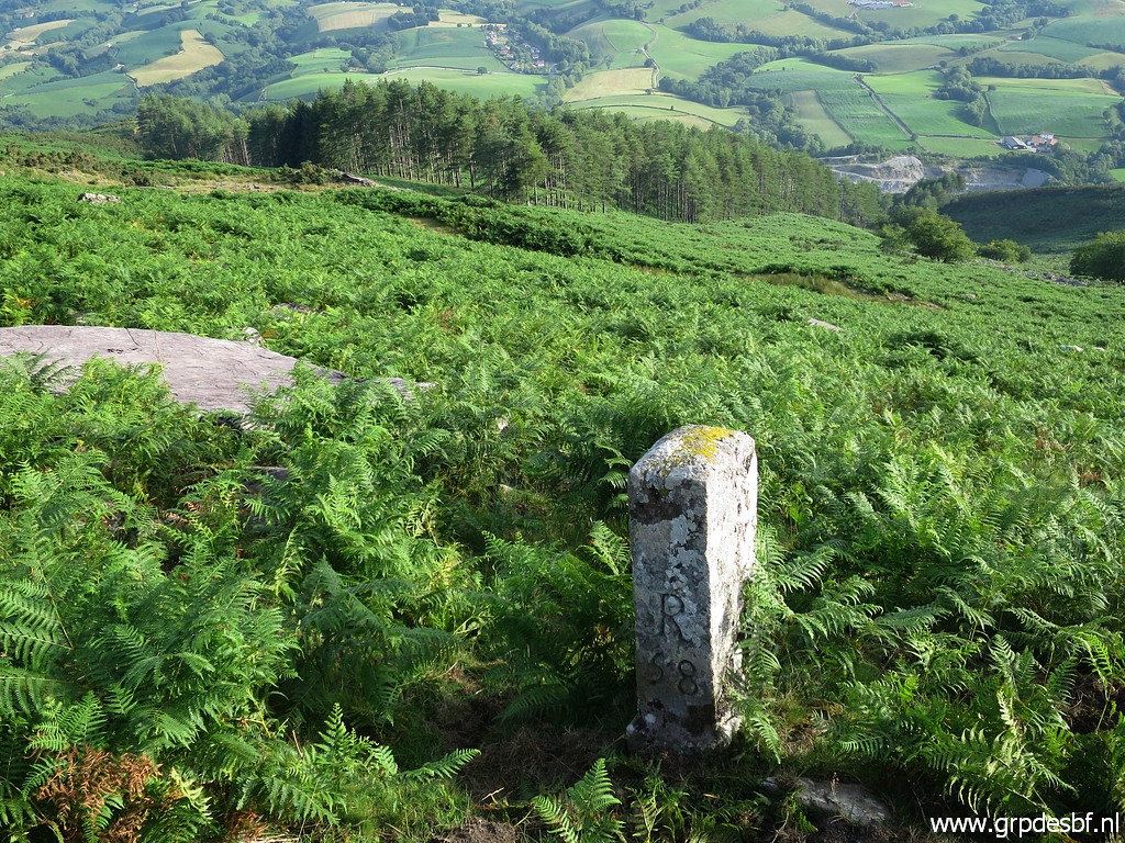
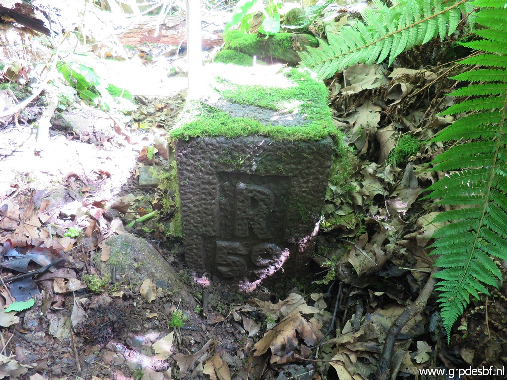
 | bm058. I go back and forth to it (70m SSW uphill). (click photo to enlarge) |
 | Bm058, la Rhune in the distance. (click photo to enlarge) |
 | Bm058, looking downhill, roughly in the direction of the borderline. A direct descent to bm059 is not practical because of the fern. (click photo to enlarge) |
 | Jan-Willem spots a herd of sheep (click photo to enlarge) |
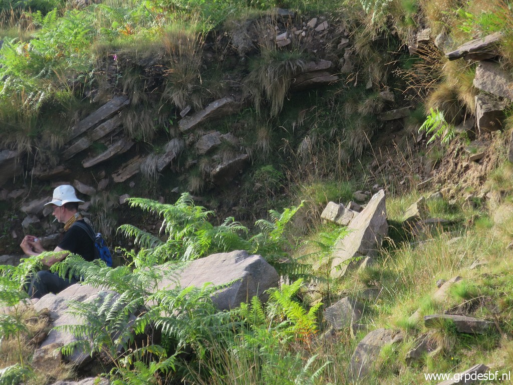 | while he takes a rest (click photo to enlarge) |
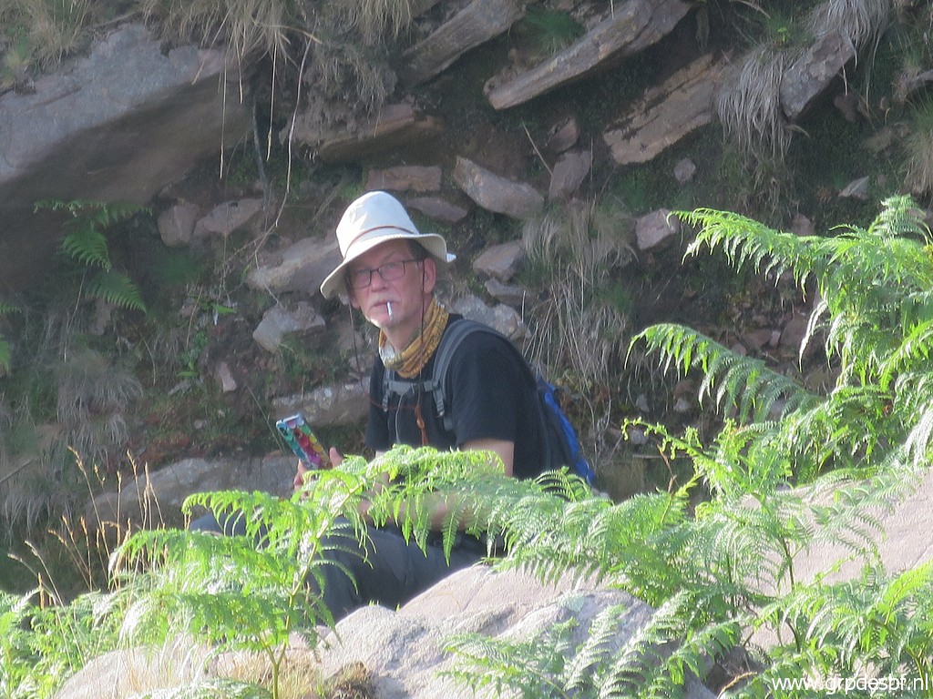 | playing with his smartphone and enjoying a smoke. (click photo to enlarge) |
 | We
have some difficulties in finding the right trail to the pass over the
hillridge of Atxuria. we first follow by misstake a trail to its summit
and have to return This picture: Jan-Willem is following in the distance. (click photo to enlarge) |
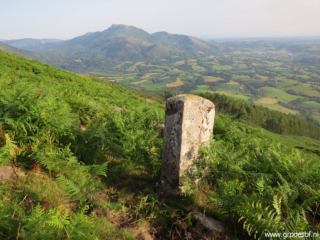
 | This is the ridge and 'pass' looking N. From bm057 you will climb to this pass and descend at the other side towards bm058. (click photo to enlarge) |
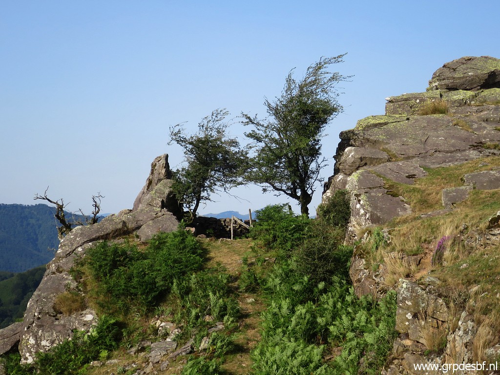 | A sort of shelter at its side. (click photo to enlarge) |
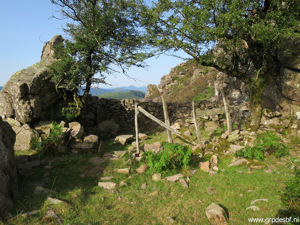 | Perfect for a break while sheltering for the strong wind on the ridge. (click photo to enlarge) |
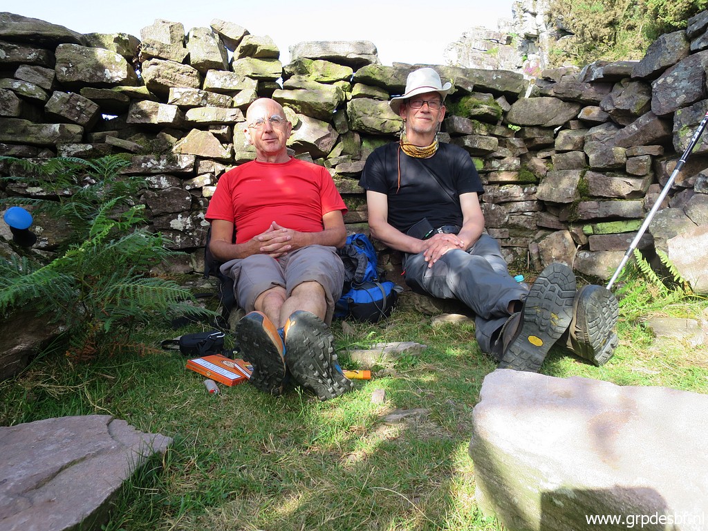 | The brave mountaineers reposing. (click photo to enlarge) |
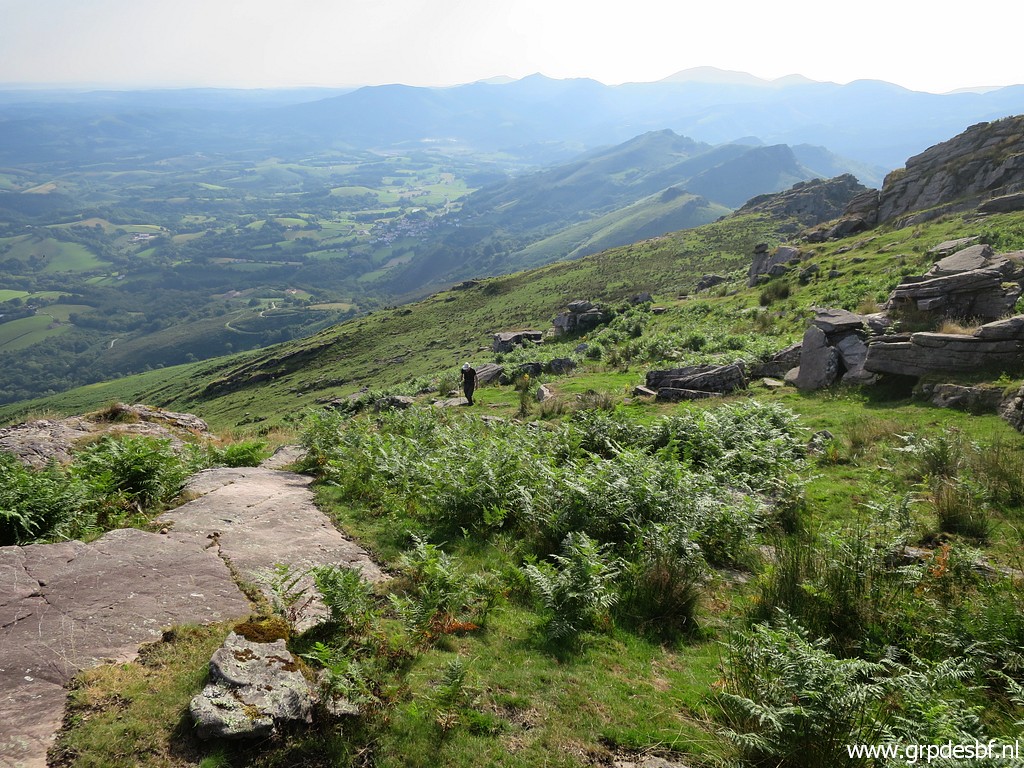
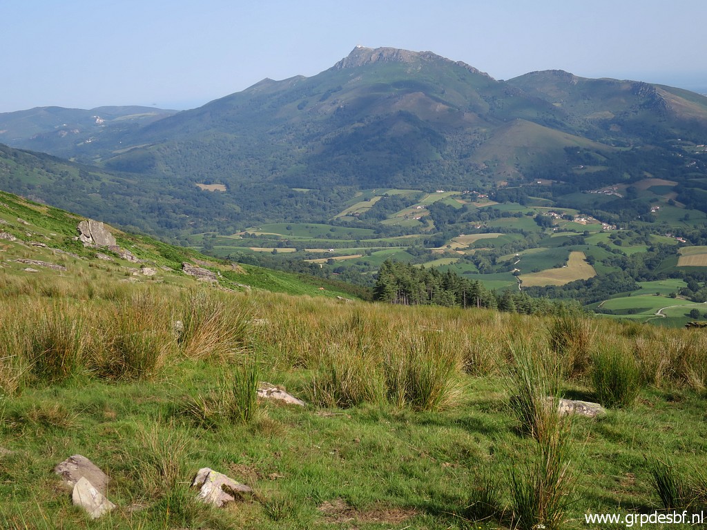 | Then we return. In the background La Rhune. In the beginnin, there is no obvious trail leading to the trail going beneath bm058. But if you descend ± 200m NW you will get to that trail. (click photo to enlarge) |
 | The landscape is beautiful. (click photo to enlarge) |
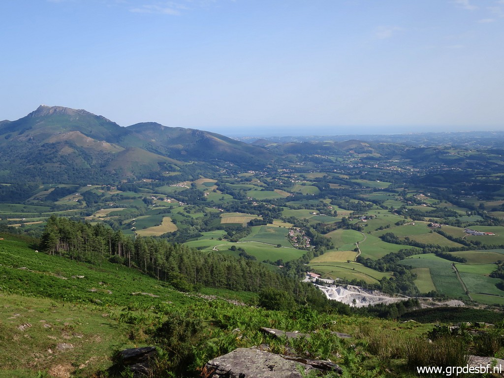 | Looking down the hill in the direction of the borderline. You can see the stone quarry. The border passes at its right side. As said before a direct descent is not practical in this season because of the fern. (click photo to enlarge) |
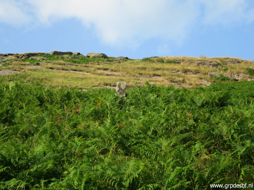
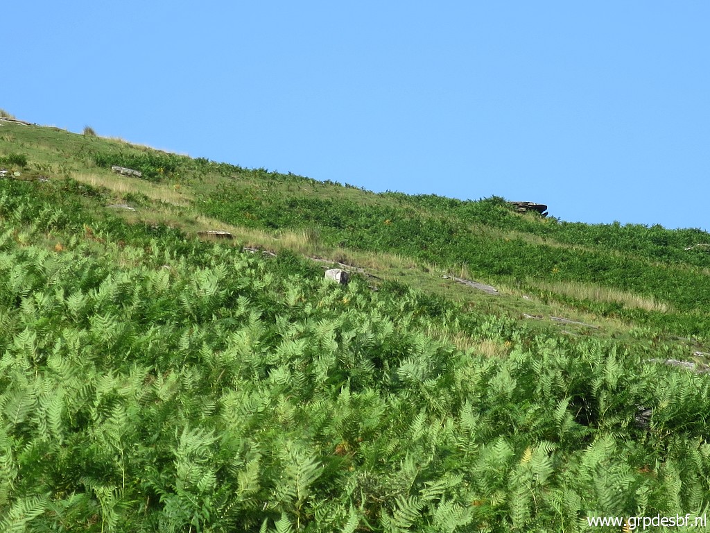
 | When coming from the ridge, it is not obvious where bm058 stands. However I can spot its top (click photo to enlarge) |
 | above (zoom-in) (click photo to enlarge) |
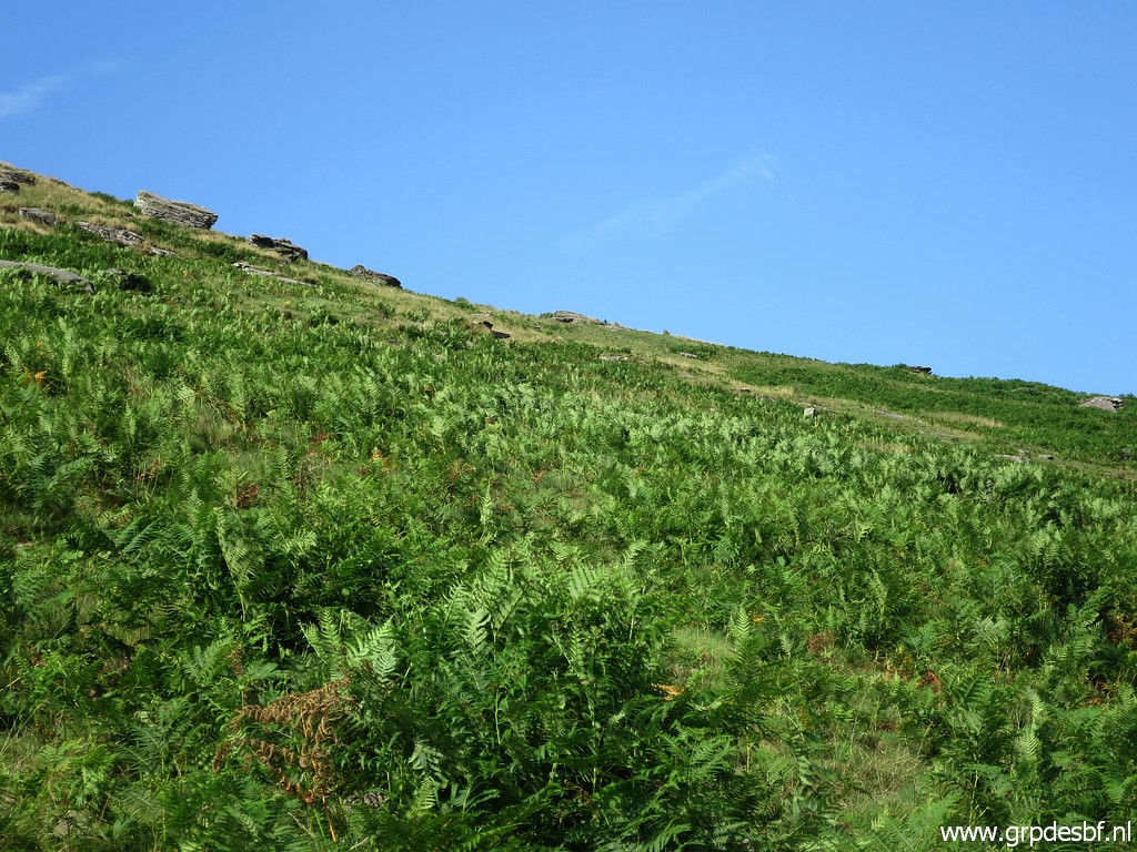
 | (further zoom-in) above the fern. But bm058 can best be done from the trail underneath it, going back and forth. About where the trail gets broader, head 70m SSE uphill to get to bm058. (click photo to enlarge) |
 | Back on the broad track with the ever present La Rhune in the background. (click photo to enlarge) |
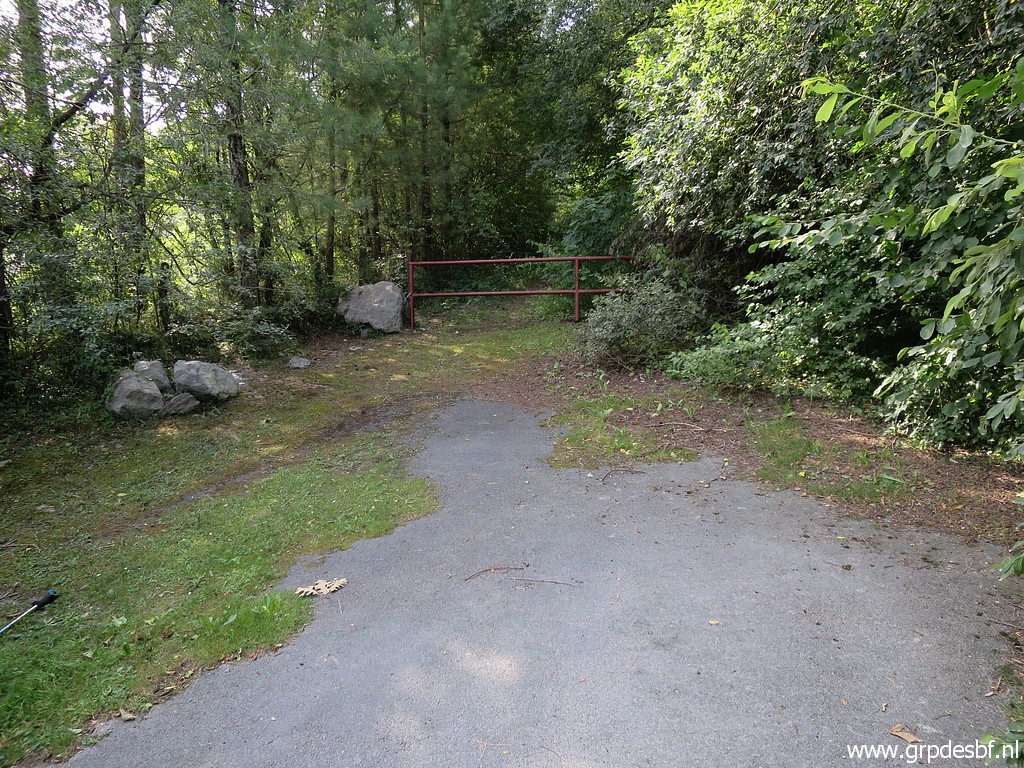 | We return to the parking lot and at its end we cross (click photo to enlarge) |
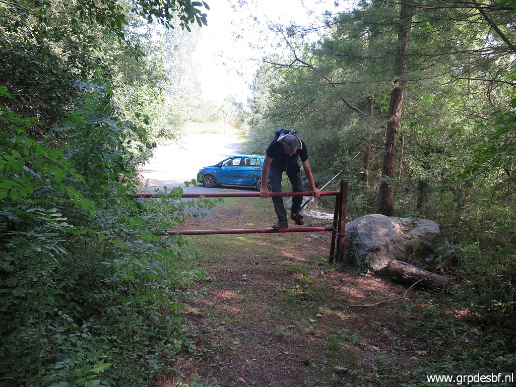 | the gate with youthful ease (my car in the background). (click photo to enlarge) |
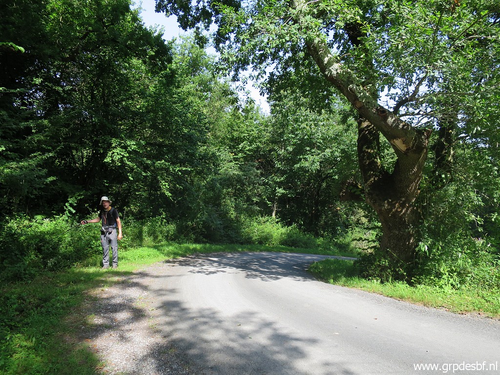
 | On 6-4-2009 this path was still a road. (click photo to enlarge) |
 | We arrive at the Spanish side of the border with this meadow. Left along the meadow is the border following a stream(bed). (click photo to enlarge) |
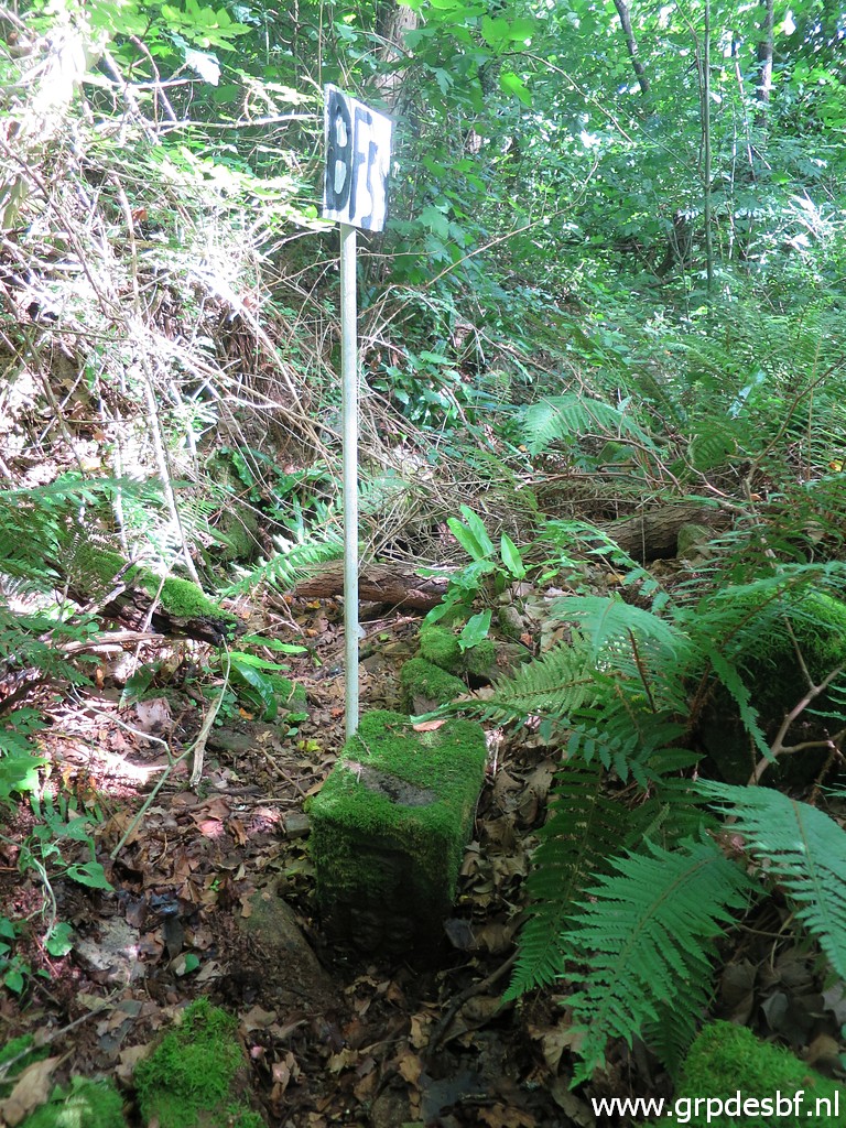
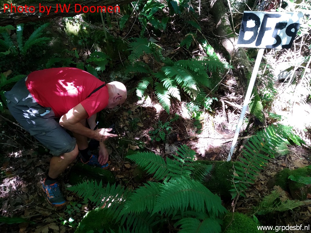
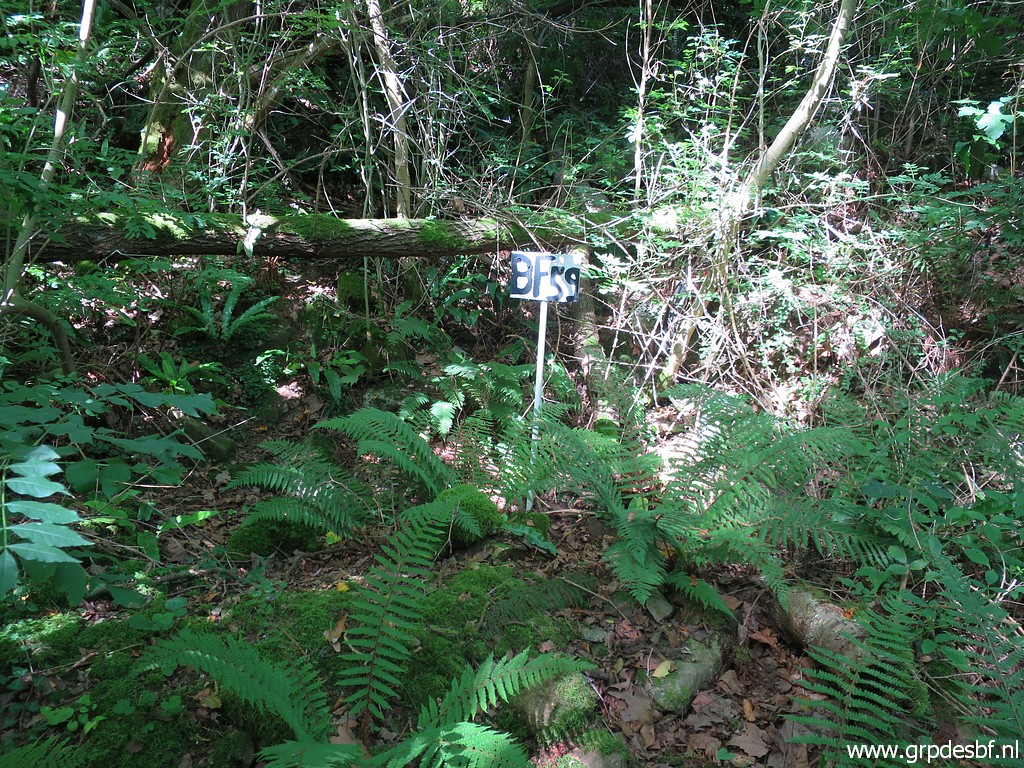 | We walk counter clockwise around the meadow on a road. Then a bit further on the road there is a faint trail entering the forest (at a bifork go right) which brings us easily to a sign with "BF59" on it! (click photo to enlarge) |
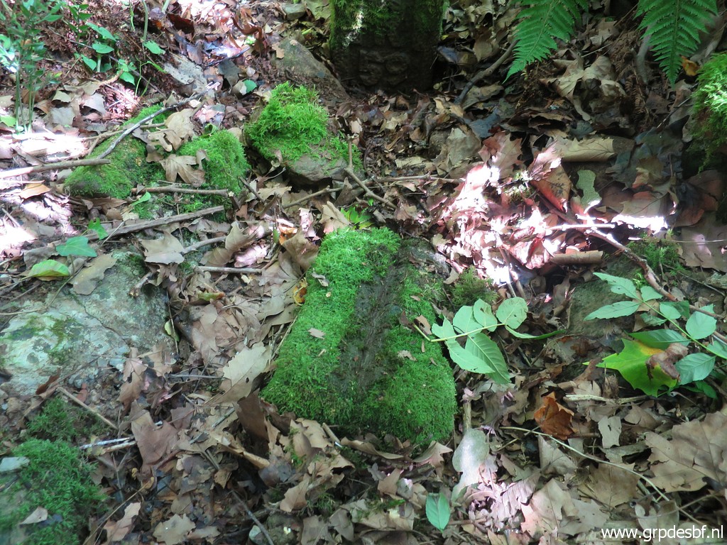
 | And there he is. It would have been hard to find it without this sign in this overgrown streambed. The gps is here very imprecise with all the trees. (click photo to enlarge) |
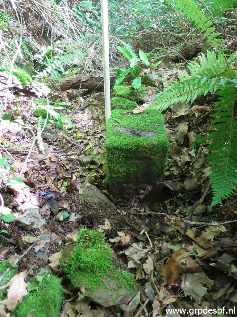
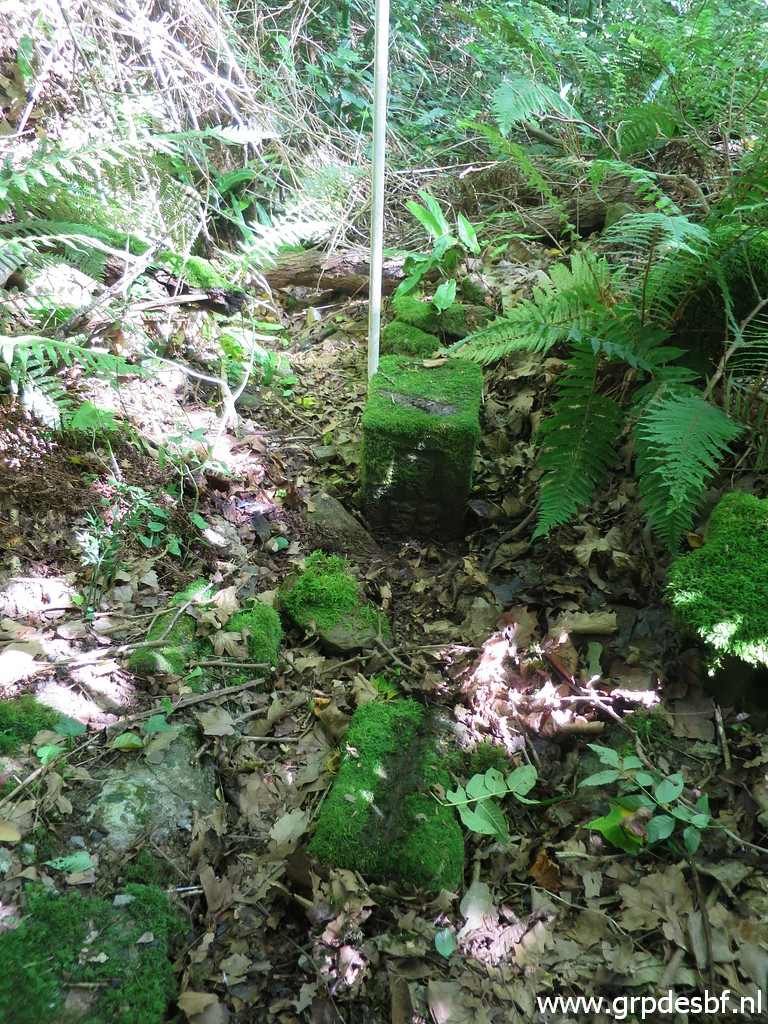
 | Bm059 (click photo to enlarge) |
 | Bm059 (click photo to enlarge) |
 | Bm059 (click photo to enlarge) |
 | Corinne Gourgeonnet has reported a stone marker at its foot with (click photo to enlarge) |
 | a groove at the top. (click photo to enlarge) |
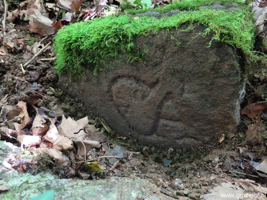 | While cleaning we discover a peculiar engraving, looking a bit like a fallus. (click photo to enlarge) |
 | I can't remember if we checked the other side, I suppose so. (click photo to enlarge) |
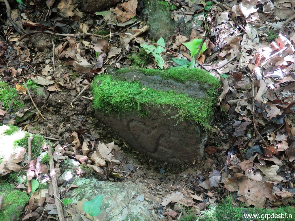
 | Bm059 after a little touch with the brush. (click photo to enlarge) |
 | Back at the road, Jan-Willem points where to enter the forest. (click photo to enlarge) |
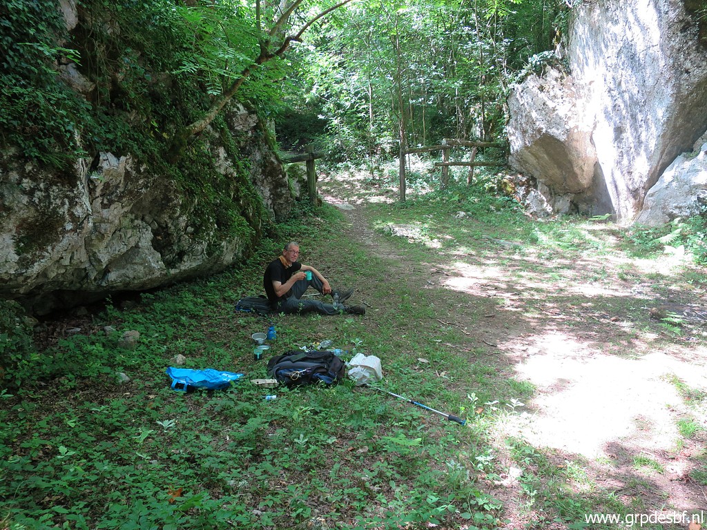 | Nearby we take a last coffee break (click photo to enlarge) |
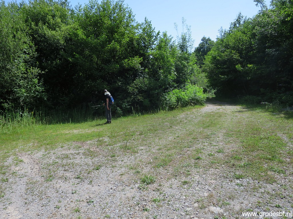 | and then return to the car. This picture: this was the open space where we camped on 6-4-2009. (click photo to enlarge) |
 | Finally - having finished early - we visit the interesting caves of Sare like ordinary tourists. (click photo to enlarge) |
 | Our evening dinner. Our casting is strict: I do the cooking, Jan-Willem washes the dishes. (click photo to enlarge) |