|
The
bordermarkers of the Pyrenees : all my trips
|
|
| -
saturday 31 august
2019 - Redoing bm573 with Carlos & Conchita  previous
trip
next
trip previous
trip
next
trip  |
 |
 |
Summary:
part of a series of 11 trips in august-september 2019 in the
Pyrénées-Orientales, Andorra and the Hautes-Pyrénées. This is trip 7. Today: short trip, guiding Carlos and Conchita to bm573 near Le Perthus. Their own account of this trip can be seen on their own website. My basecamp is the camping in St-Laurent-de-Cerdans. Weather: sunny and hot |
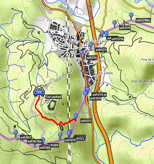
 track-20190831.kml
(click to open this trip in Google Earth or copy link to Google Maps; click right on this link to download gpx-version). The gps-track has not been manually corrected which explains the inaccuracy and misalignment at some points. For cartographic backgrounds: see the cartography-page Gps-waypoints of all bordermarkers (most recent version): kml: esfr-bordermarkers-all-waypoints.kml gpx: esfr-bordermarkers-all-waypoints.gpx |
|
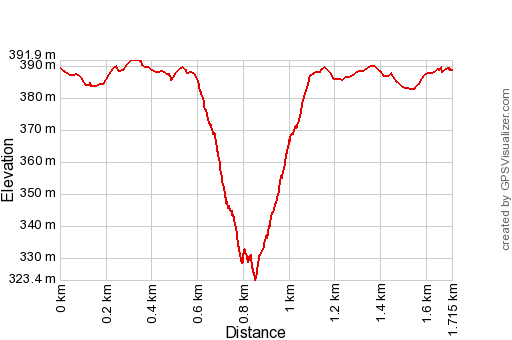 |
According to Garmin
Basecamp (uncorrected track): Distance: 1,7 km Max-height: 393m Min-height: 332m Elevation: +76m -79m Total elevation: 155m Start 10:42 Finish 12:00 Total time: 1:18 |
 | Carlos
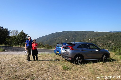
and Conchita are devoted bordermarker-searchers in the
Pyrénées-Orientales (bm427 to 602). They have almost completed their
quest but for some 'difficult' bordermarkers they asked me to guide
them. Yesterday, we did together bm536 to 542. Today we will cover
bm573: on a steep hillside covered with dense maquis-bush. I was here a few days before to do a reconnaissance of the route. (click photo to enlarge) |
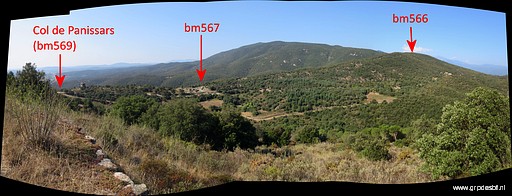 | We park our cars at the entrance of the Fort de Bellegarde. A trail takes us along the west-side of the Fort, providing a nice view to the SW. (click photo to enlarge) |
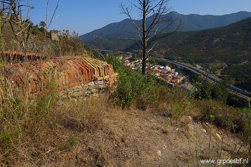 | We pass through the walls to the E-side of the complex. The trail bends to the S (towards bm572) and at that bend, we leave the trail and descend NEE through the bush. This picture: this is where we leave the trail to start descending. (click photo to enlarge) |
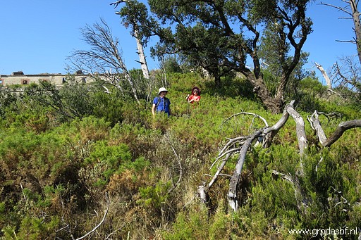 | I take the lead, Carlos & Conchita follow. (click photo to enlarge) |
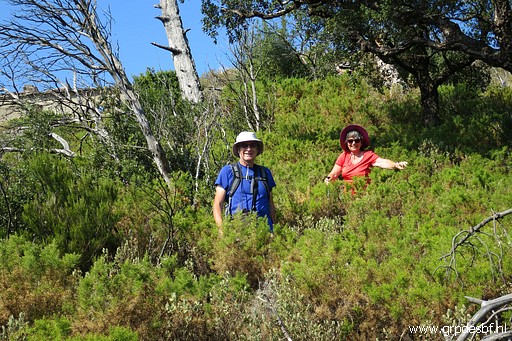 | The bush is dense but there is a sort of trail through it. (click photo to enlarge) |
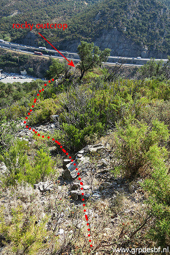 | After ± 50m through the bush, the terrain gets more open with a rocky underground. If you continue straight on, you will get to a rocky outcrop. It's too steep to descend from there. The secret of getting to bm573 is to by-pass that rocky outcrop on its left (=N-) side. So: ± 40m before the rocky outcrop, descend to the left. (click photo to enlarge) |
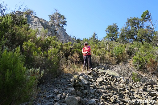 | Some cairns help and the terrain consists of several rockslides. This picture: Conchita with at he background the rocky outcrop which we have passed on its N-side. (click photo to enlarge) |
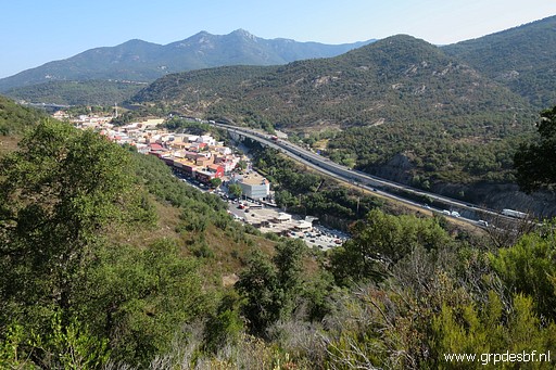 | View to Le Perthuis (click photo to enlarge) |
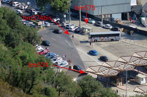 | with (zoom-in) the markers bm574-575. In the old days, bm574 was standing at the position of bm574bis. (click photo to enlarge) |
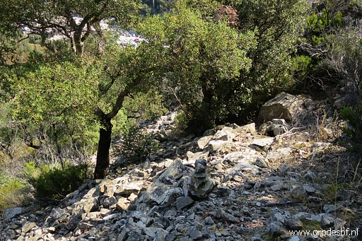 | We continue our descent, mostly on open spaces of rockfall and gradually bending SEE->SE. This picture: note the cairn. (click photo to enlarge) |
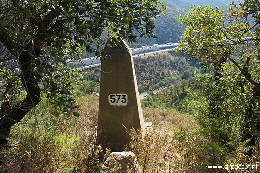 | And there he is: bm573 (click photo to enlarge) |
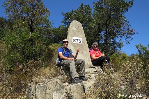 | Carlos and Conchita are very happy having added the missing bm573 to their collection. (click photo to enlarge) |
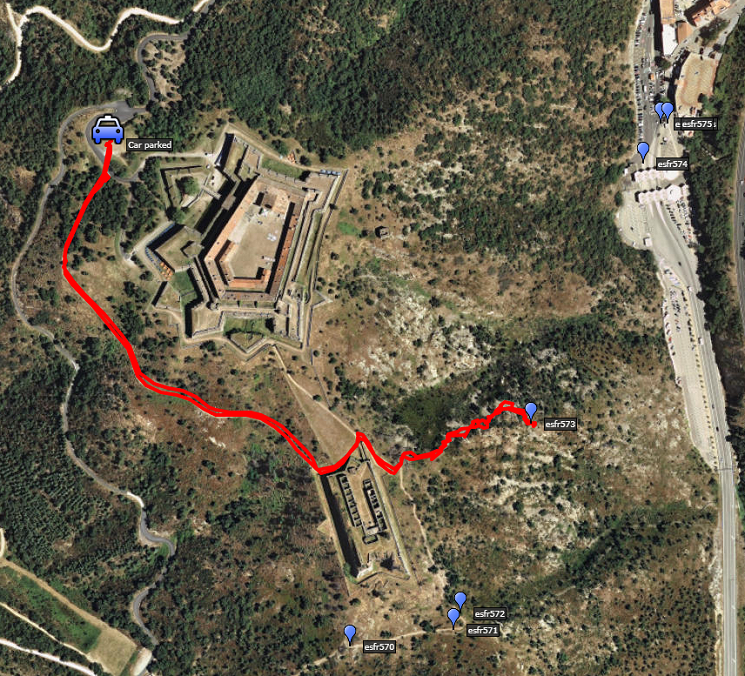
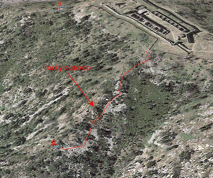 Our route to bm574 on Google Earth |
|
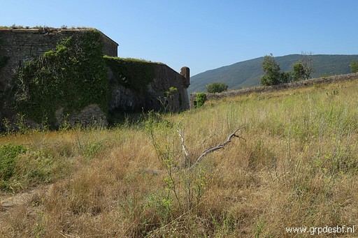 | We return to our cars, content. This picture: this is where you can pass through the walls to get to the W-side of the complex, back to our starting point. (click photo to enlarge) |
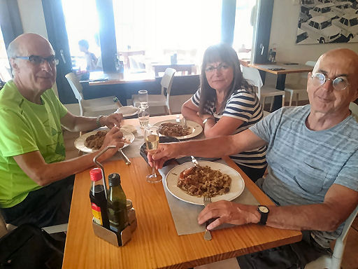 |
And then we drive to Peralada in Spain where I am treated to a delicious paëlla-meal. We part in good spirits. They drive back to Barclona, I return to the camping in St-Laurent-de-Cerdans. The next day will be a day of well-deserved rest. |
 previous
trip
next
trip previous
trip
next
trip  |
|
