|
The
bordermarkers of the Pyrenees : all my trips
|
|
| -
friday 6 september
2019 - Redoing bm326-328  previous
trip
next
trip previous
trip
next
trip  |
 |
 |
Summary:
part of a series of 11 trips in august-september 2019 in the
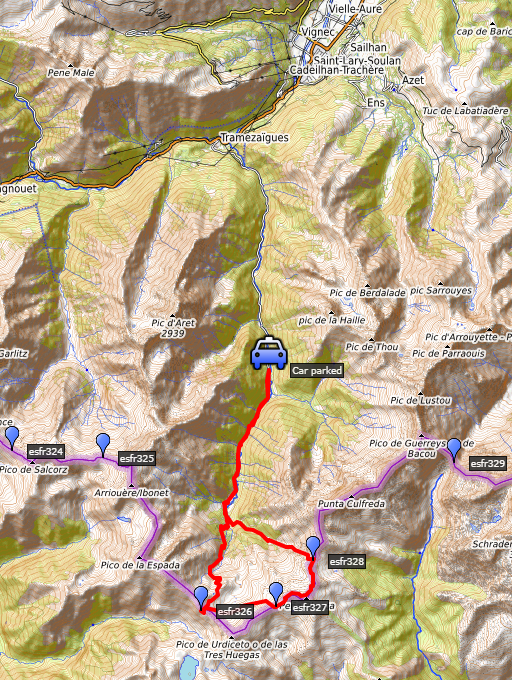
Pyrénées-Orientales, Andorra and the Hautes-Pyrénées. This is trip 9. Today: redoing bm326-328, this time from Hospice de Rioumajou. My basecamp is the camping in Vignec in France. Weather: splendid but cold in the morning and on the ridge a chilly wind. |
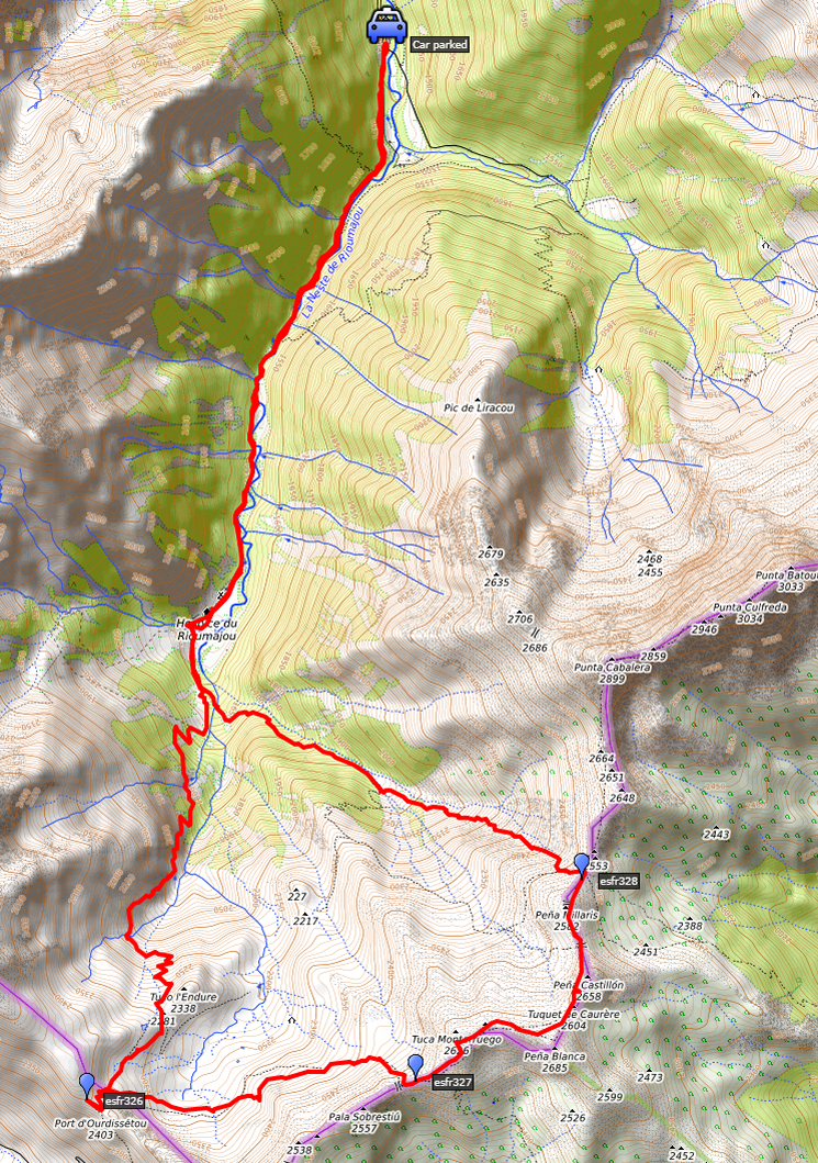 track-20190906.kml
(click to open this trip in Google Earth or copy link to Google Maps; click right on this link to download gpx-version). The gps-track has not been manually corrected which explains the inaccuracy and misalignment at some points. For cartographic backgrounds: see the cartography-page Gps-waypoints of all bordermarkers (most recent version): kml: esfr-bordermarkers-all-waypoints.kml gpx: esfr-bordermarkers-all-waypoints.gpx |
|
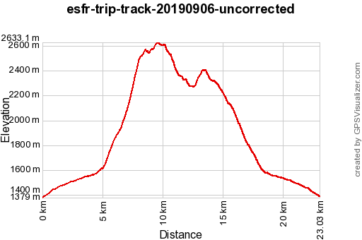 |
According to Garmin
Basecamp (uncorrected track): Distance: 23,0 km Max-height: 2633m Min-height: 1379m Elevation: +1468m -1457m Total elevation: 2925m Start 8:23 Finish 18:29 Total time: 10:06 |
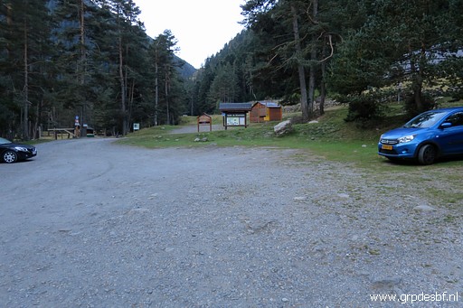 | Starting from the parking Frédencon at 8:15 (click photo to enlarge) |
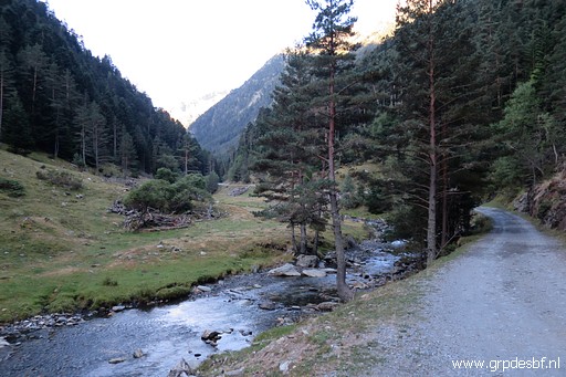 | It's 4km walking along this dirtroad. You can drive with your car up to the Hospice but I'm a bit (too?) careful with my car. (click photo to enlarge) |
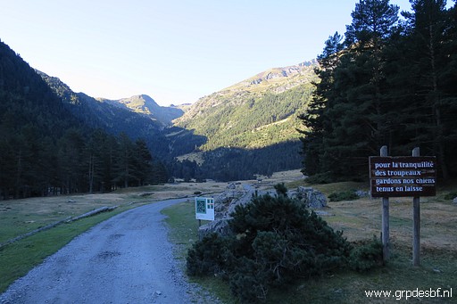 | The end of the valley (click photo to enlarge) |
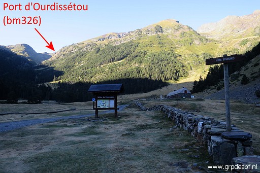 | with to the right a camping field (for bivouac). (click photo to enlarge) |
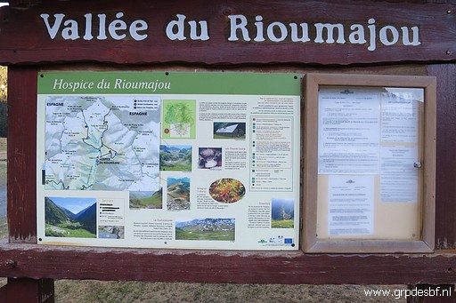 | An information board (click photo to enlarge) |
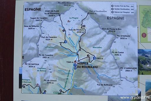 | with a nice map of the main walking trails towards Spain: the Port de Plan (bm327) and Port d'Ourdissétou (bm326) (click photo to enlarge) |
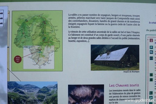 | and some information on the Hospice. (click photo to enlarge) |
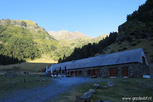 | The Hospice de Rioumajou. Behind it you can see a green plateau: the Balcon d'Hospice which I will climb tomorrow. (click photo to enlarge) |
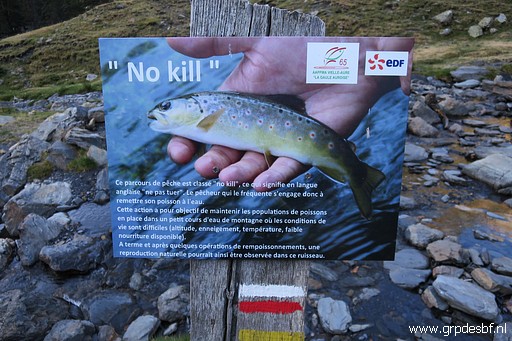 | I've seen the "No kill"-signs more often in the Pyrenees and this one gives an explanation. (click photo to enlarge) |
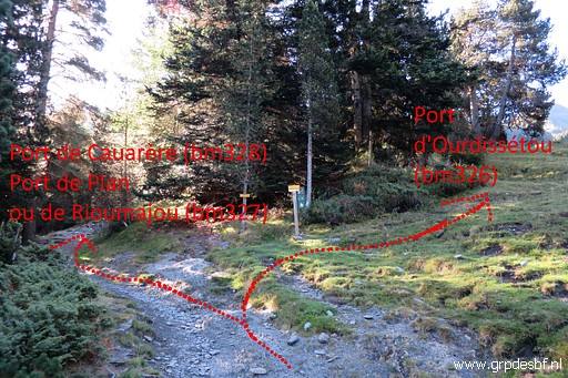 | Just beyond the Hospice a trail (red-white waymarked) starts and arrives after 400m at this bifork. To the left is towards Port de Cauarère (bm328) and Port de Plan (327). That's the one I take. (click photo to enlarge) |
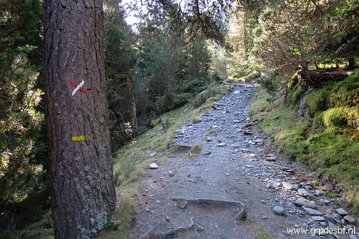 | No red-white marks anymore but yellow. (click photo to enlarge) |
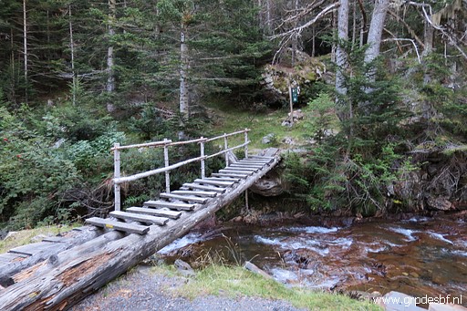 | A bridge brings me (click photo to enlarge) |
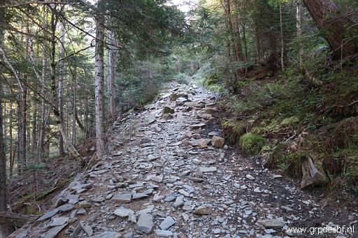 | to a steep ascent through the forest (click photo to enlarge) |
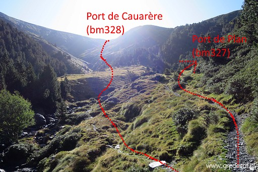 | until I arrive at this open space. The yellow path continues to Port de Plan (click photo to enlarge) |
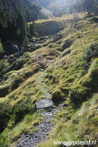 | but I continue towards Port de Cauarère. (click photo to enlarge) |
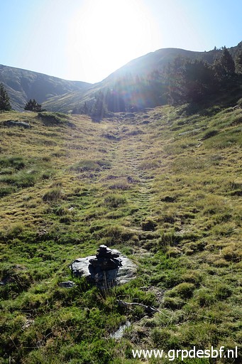 | No painted signs anymore but the trail is obvious with enough cairns to keep you on track. (click photo to enlarge) |
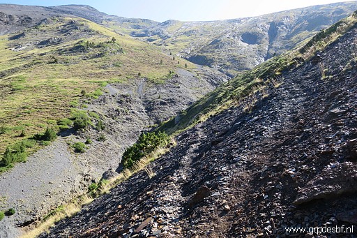 | Later on the hillside consists often of gravel, its soft surface and the incline makes it a tough climb. (click photo to enlarge) |
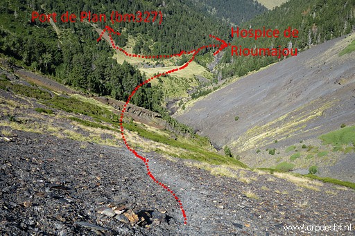 | A view back (click photo to enlarge) |
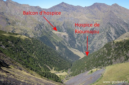 | Another view back (click photo to enlarge) |
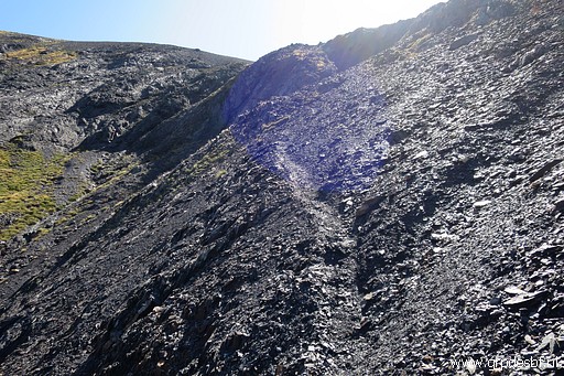 | Getting close to the Port. There are some tricky parts on these steep gravel hillside, you could easily slide into the 'abyss'. Take care. (click photo to enlarge) |
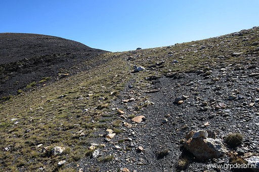 | Almost at the pass. (click photo to enlarge) |
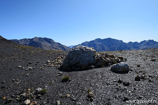 | At the Port de Caurère (click photo to enlarge) |
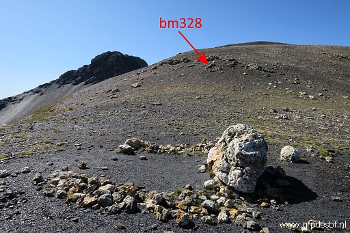 | But bm328 is about 60m to the south, up the flat borderridge (click photo to enlarge) |
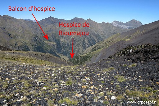 | A view back (click photo to enlarge) |
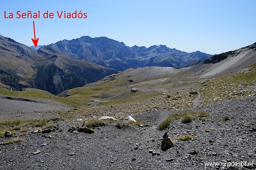 | And a view to the east into Spain (click photo to enlarge) |
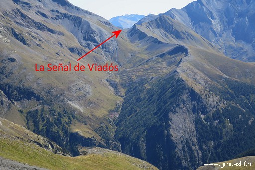 | Zoom-in. If you descend into Spain you will get to a river valley. At the other side of the river, a trail climbs to Señal de Viadós. From there you could traverse directly along the mountainside to Port d'Aygues-Tortes (bm330). That passage I tried a few days ago on 3 september. My own GRPdesBF-route however makes a half circle to the south passing the refugio Viados. (click photo to enlarge) |
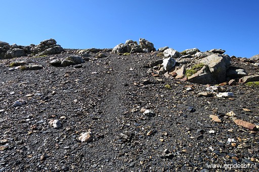 | Bm328 is on one of the first rocks (click photo to enlarge) |
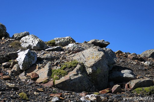 | Bm328 (click photo to enlarge) |
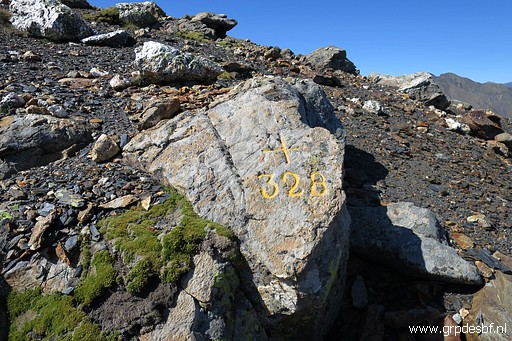 | Bm328 (click photo to enlarge) |
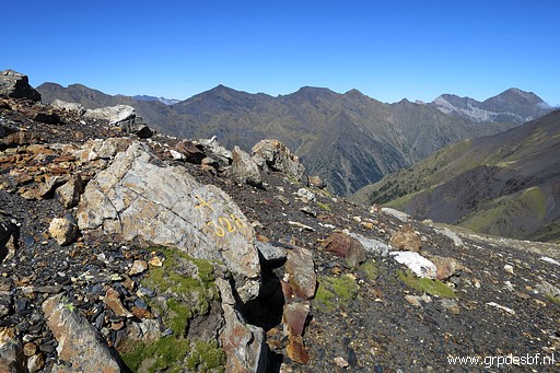 | Bm328 (click photo to enlarge) |
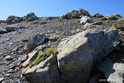 | Bm328 (click photo to enlarge) |
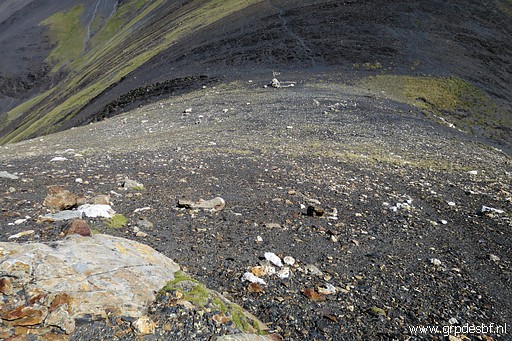 | Bm328, looking down to the actual Port de Caurère with (click photo to enlarge) |
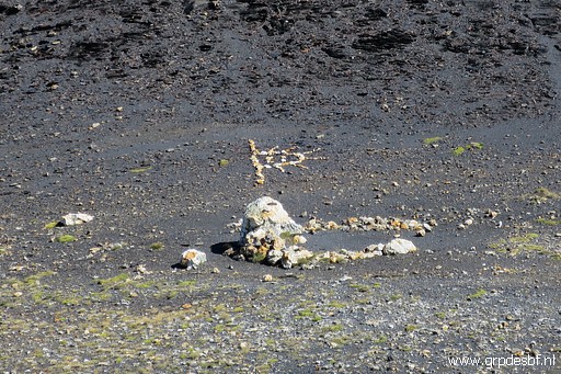 | some artistic beautifications. (click photo to enlarge) |
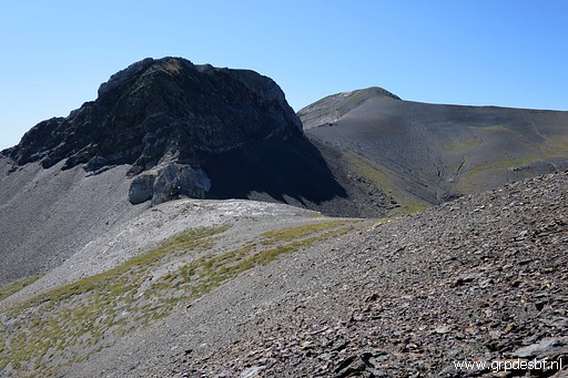 | I continue south over the borderridge. Ahead, there's a remarkable rocky hilltop (click photo to enlarge) |
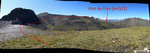 | which you pass easily underneath. (click photo to enlarge) |
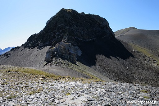 | Getting closer (click photo to enlarge) |
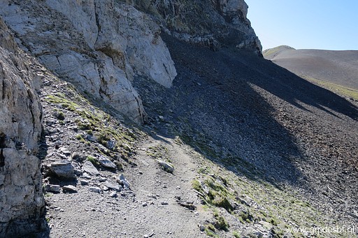 | and passing underneath on this trail (click photo to enlarge) |
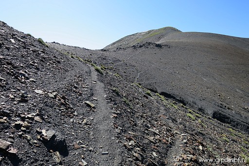 | Continuing. There's a hilltop (Tuquet de Caurère) ahead but you don't have to climb it. (click photo to enlarge) |
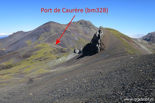 | Looking back (click photo to enlarge) |
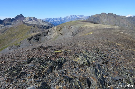 | and looking forward. (click photo to enlarge) |
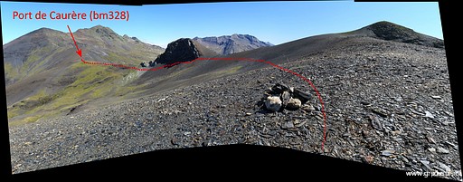 | Further on, this view back. You can see how you can pass underneath the summit of Tuquet de Cauarère. Note the cairn, there are some along this route. (click photo to enlarge) |
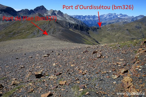 | Now the Port de Plan gets in sight (click photo to enlarge) |
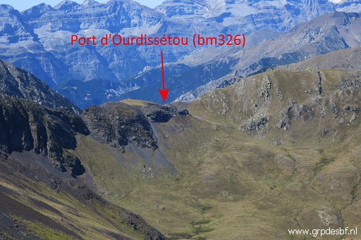 | with (zoom-in) the Port d'Ourdissétou also in sight. (click photo to enlarge) |
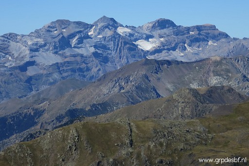 | In the background the massif of Monte Perdido (I think) (click photo to enlarge) |
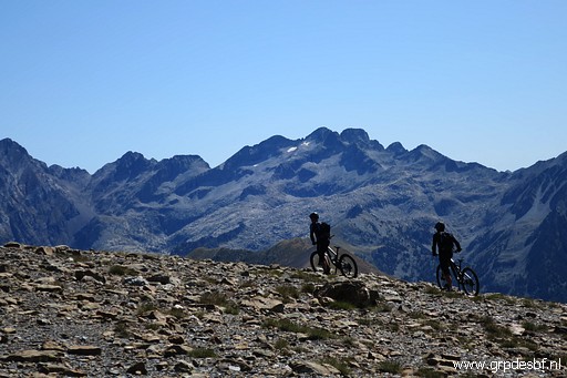 | Surprising: two bikers, how in heaven did they get here? (click photo to enlarge) |
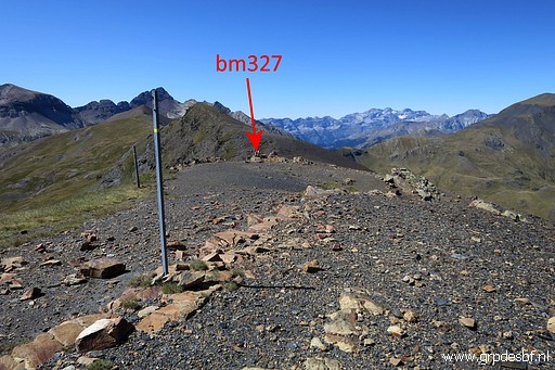 | Close to bm327. Note: bm327 is not at the pass (lowest passage) itself but about 300m NE at the ridge. But that's where the trail passes the border. At its lowest part it's too steep on the Spanish side. (click photo to enlarge) |
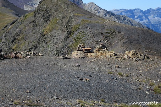 | Bm327 (click photo to enlarge) |
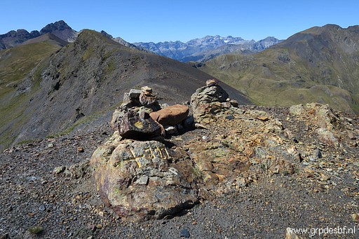 | Bm327 (click photo to enlarge) |
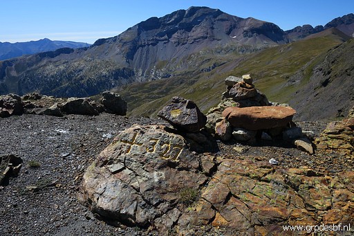 | Bm327 (click photo to enlarge) |
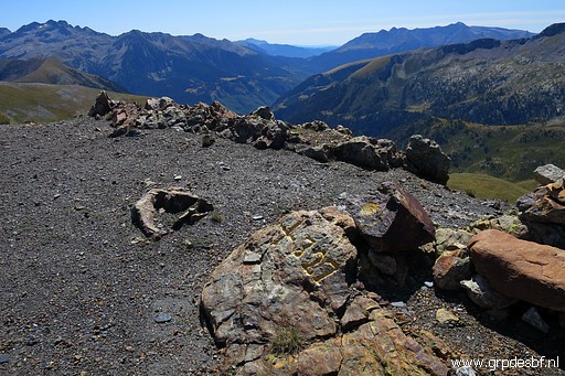 | Bm327 (click photo to enlarge) |
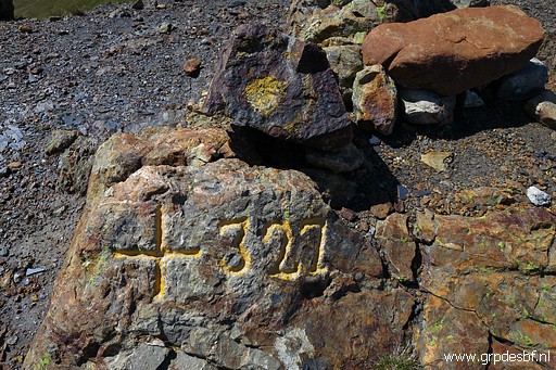 | Bm327 (click photo to enlarge) |
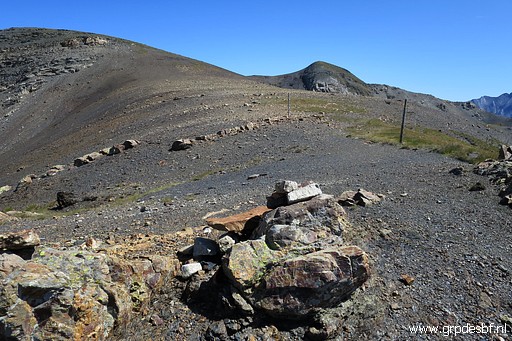 | Bm327, backside (click photo to enlarge) |
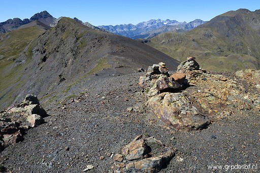 | Bm327 (click photo to enlarge) |
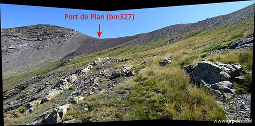 | Then I descend into the valley towards Port d'Ourdissétou. In the first part a descent along a streambed, then over the grassy hillsides, using cattle tracks when available. This picture: viewing back (click photo to enlarge) |
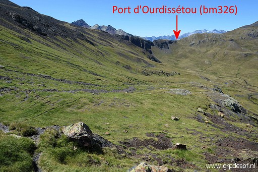 | and this one viewing ahead. I don't take a route straight across the valley but around the lowest and swampy part. (click photo to enlarge) |
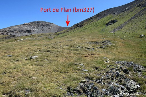 | Further on, another view back (click photo to enlarge) |
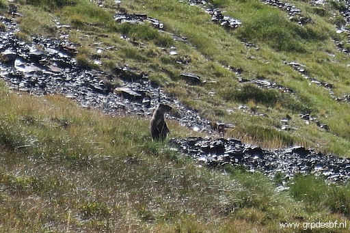 | A marmotte warning his mates (click photo to enlarge) |
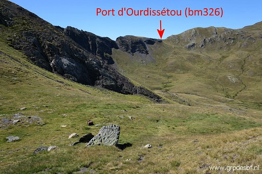 | Steadily I'm getting closer (click photo to enlarge) |
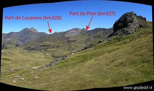 | Another view back (click photo to enlarge) |
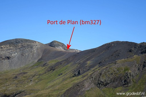 | with this zoom-in of Port de Plan (click photo to enlarge) |
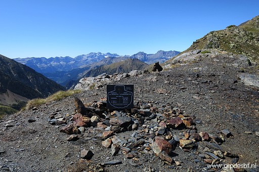 | Having arrived at Port d'Ourdissétou. The final climb was tough. (click photo to enlarge) |
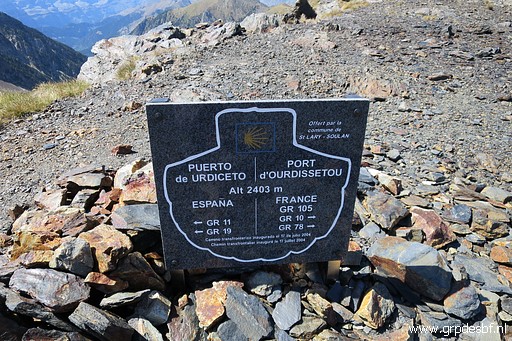 | This plaque is about the Camino leading to Santiago de Compostella. (click photo to enlarge) |
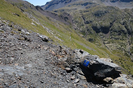 | Looking down to the Spanish descent of the path (click photo to enlarge) |
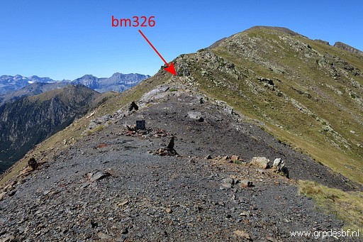 | Like in the cases of Port de Caurère and Port de Plan, the bm is not on the pass itself. In this case bm326 is ± 100m to the NW. (click photo to enlarge) |
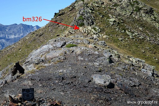 | Bm326 (click photo to enlarge) |
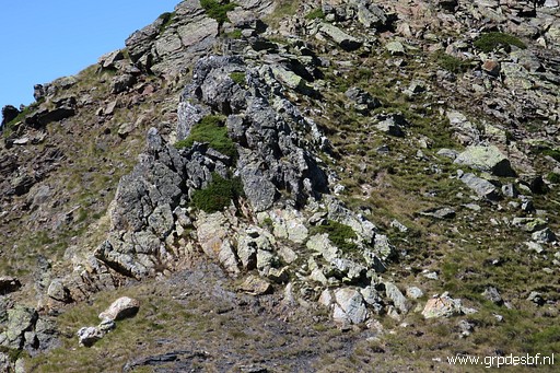 | Bm326 (click photo to enlarge) |
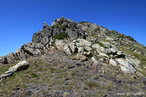 | Bm326 (click photo to enlarge) |
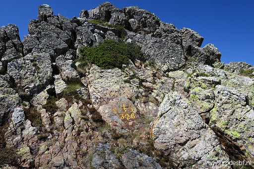 | Bm326 (click photo to enlarge) |
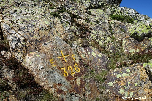 | Bm326 (click photo to enlarge) |
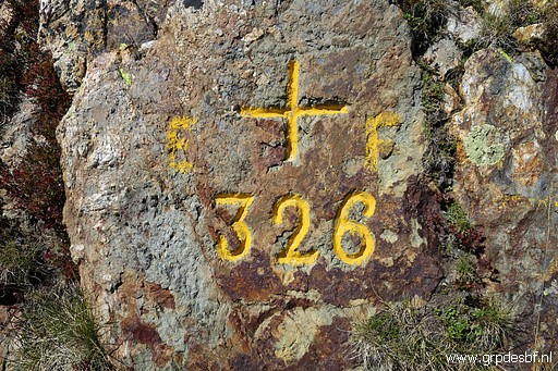 | Bm326 (click photo to enlarge) |
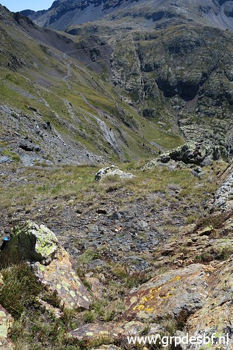 | Bm326, from above (click photo to enlarge) |
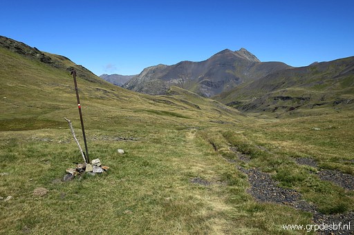 | Then I return back to Hospice de Rioumajou, (click photo to enlarge) |
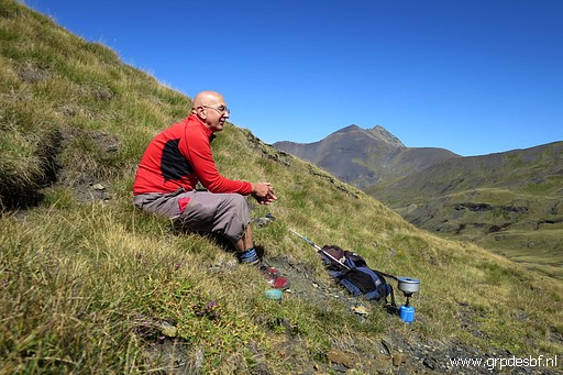 | take a lunch-break (click photo to enlarge) |
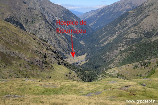 | and continue downhill. (click photo to enlarge) |
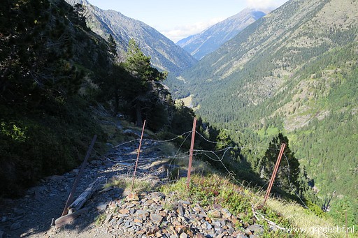 | Getting into the forest (click photo to enlarge) |
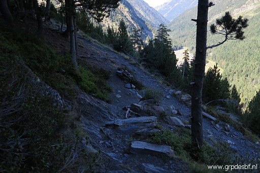 | and arriving at the spot (click photo to enlarge) |
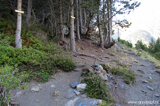 | where a branch climbs to Balcon d'Hospice. (click photo to enlarge) |
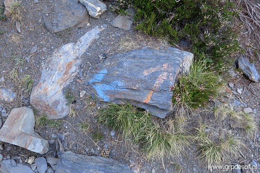 | Blue is to Port d'Ourdissétou and orange is the fainted waymark which once led via Balcon d'Hospice to bm325. Tomorrow I will do a reconnaissance if that route is still waymarked. Spoiler: the answer is no. (click photo to enlarge) |
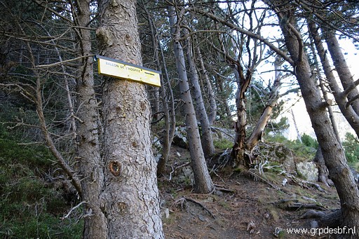 | Sign waypointing to Balcon d'Hospice. (click photo to enlarge) |
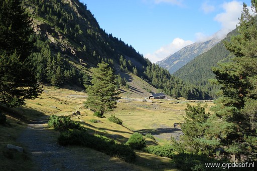 | Close to Hospice de Rioumajou. Then the last 4km to my car, it's still cold in the shadow of the valley. It's been a tough trip. (click photo to enlarge) |
 previous
trip
next
trip previous
trip
next
trip  |
|
