|
The
bordermarkers of the Pyrenees : all my trips
 |
|
| -
sunday 8 september
2019 - Redoing 322 |
 |
 |
Summary:
part of a series of 11 trips in august-september 2019 in the
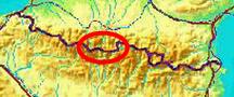
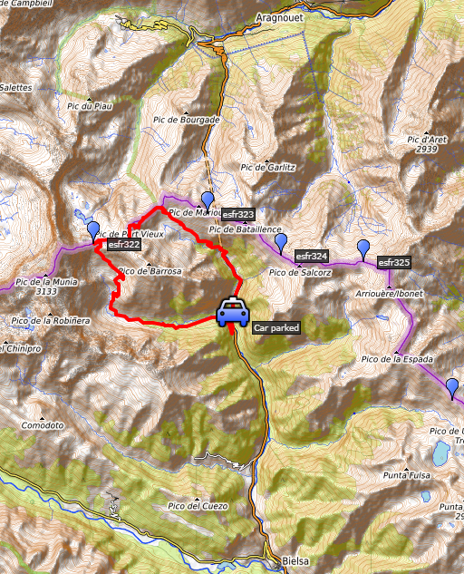
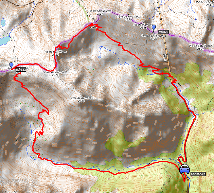
Pyrénées-Orientales, Andorra and the Hautes-Pyrénées. This is trip 11. Today: from the Spanish side - north of Bielsa - a roundtrip to redo bm322. My basecamp is the camping in Vignec in France. Weather: splendid, however chilly on the ridge |
 track-20190908.kml
(click to open this trip in Google Earth or copy link to Google Maps; click right on this link to download gpx-version). The gps-track has not been manually corrected which explains the inaccuracy and misalignment at some points. For cartographic backgrounds: see the cartography-page Gps-waypoints of all bordermarkers (most recent version): kml: esfr-bordermarkers-all-waypoints.kml gpx: esfr-bordermarkers-all-waypoints.gpx |
|
 |
According to Garmin
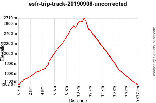
Basecamp (uncorrected track): Distance: 20,0 km Max-height: 2270m Min-height: 1391m Elevation: +1375m -1372m Total elevation: 2747m Start 7:52 Finish 16:53 Total time: 9:01 |
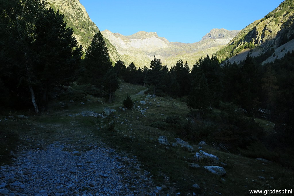
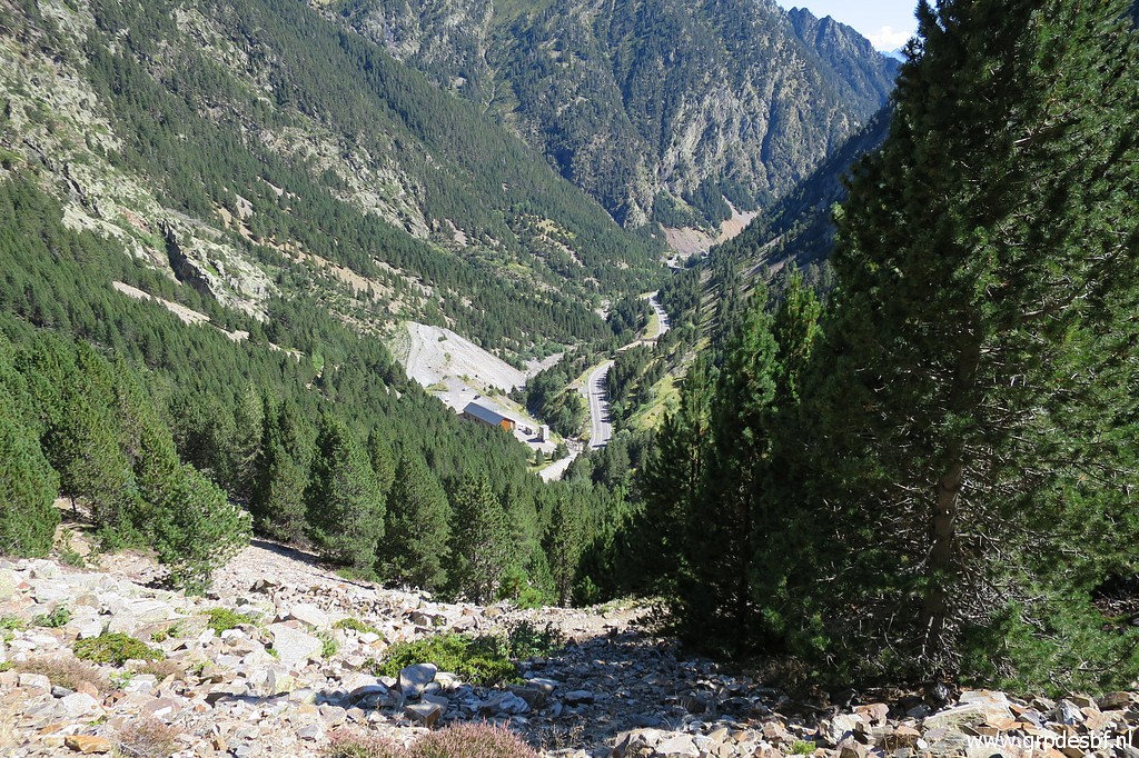
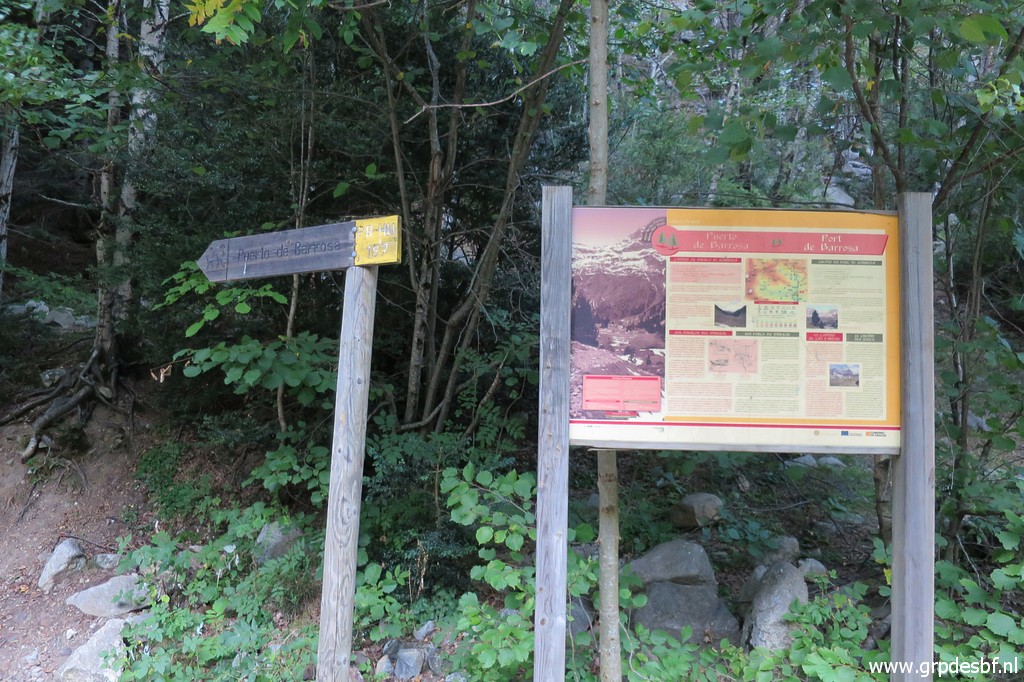 | Early start in Spain, 3km beyond the Bielsa-tunnel. That's where a yellow-white trail starts to Port de Barroude. (click photo to enlarge) |
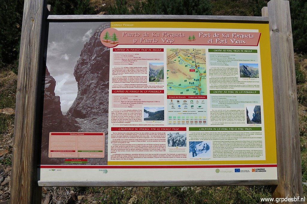
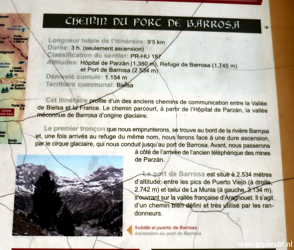 | Some information about Port de Barroude and its ascent. It says that the ascent is 3 hours but it will take me 4 hours to climb to the Port. (click photo to enlarge) |
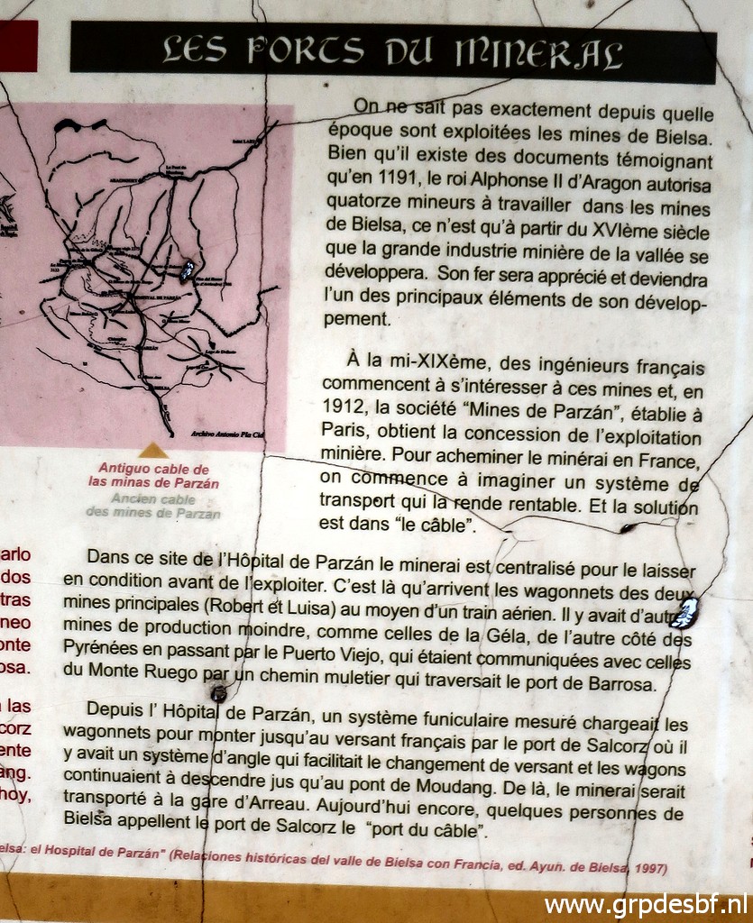 | And some information about the former mines of Bielsa. (click photo to enlarge) |
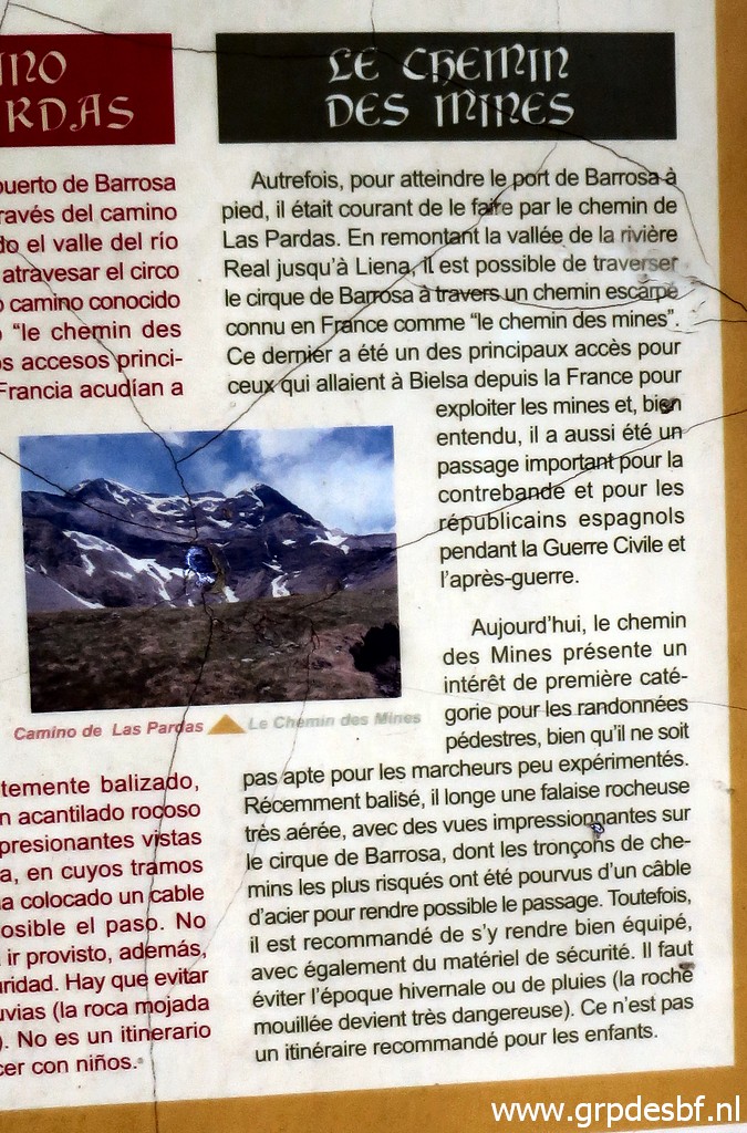 | And about the trails connecting the mines with France. (click photo to enlarge) |
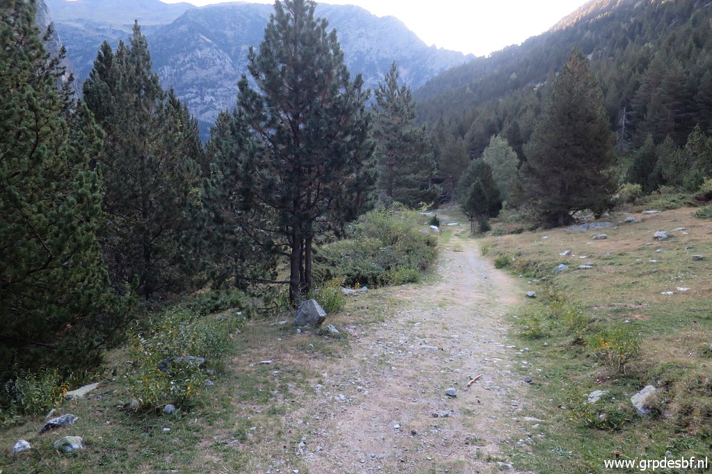
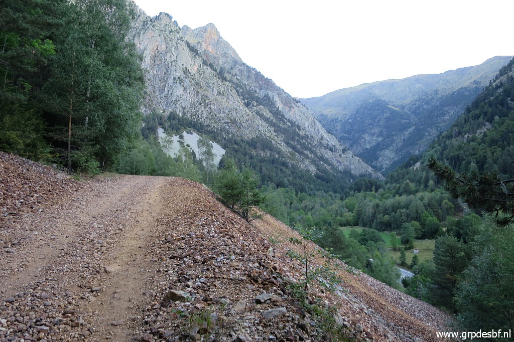 | The mountain road is broad and easy. (click photo to enlarge) |
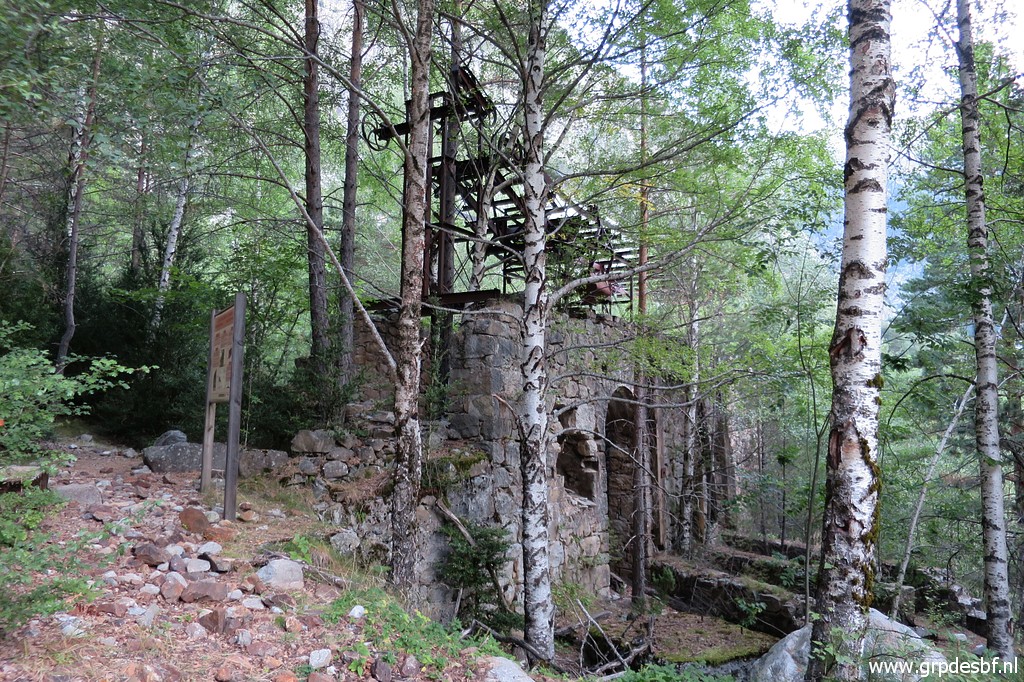 | Relicts of the mining era. (click photo to enlarge) |
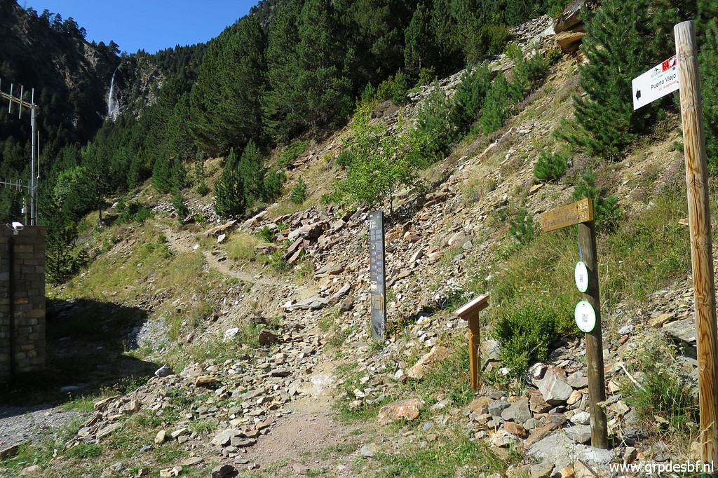
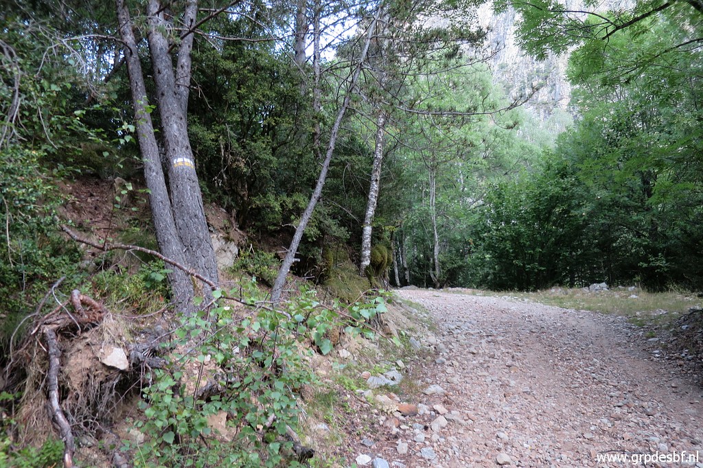 | Note the yellow-white trailmarks. (click photo to enlarge) |
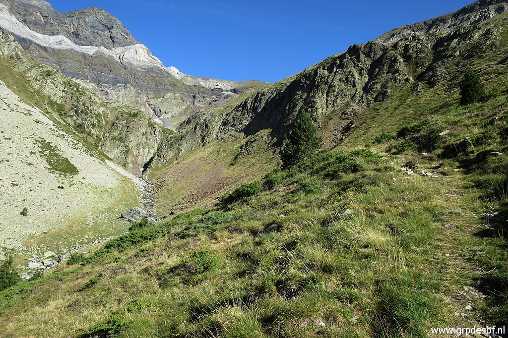
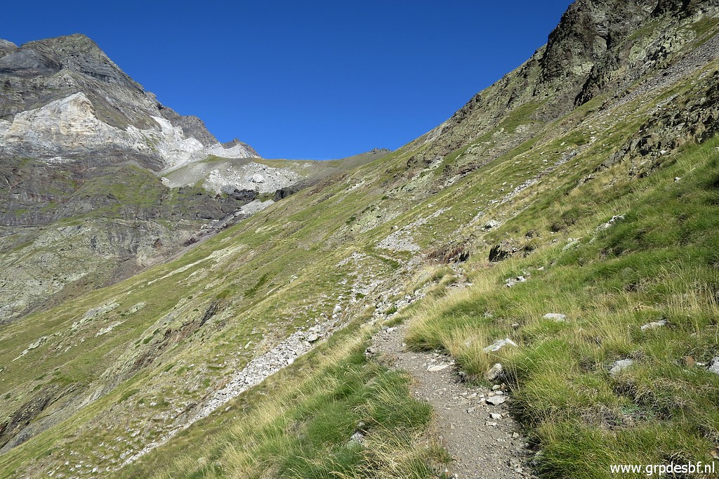
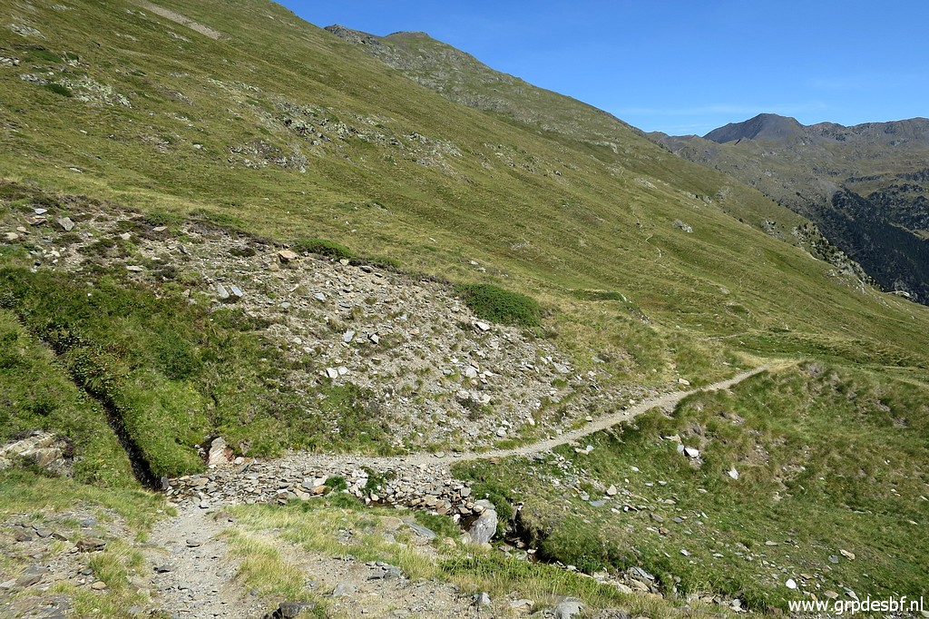
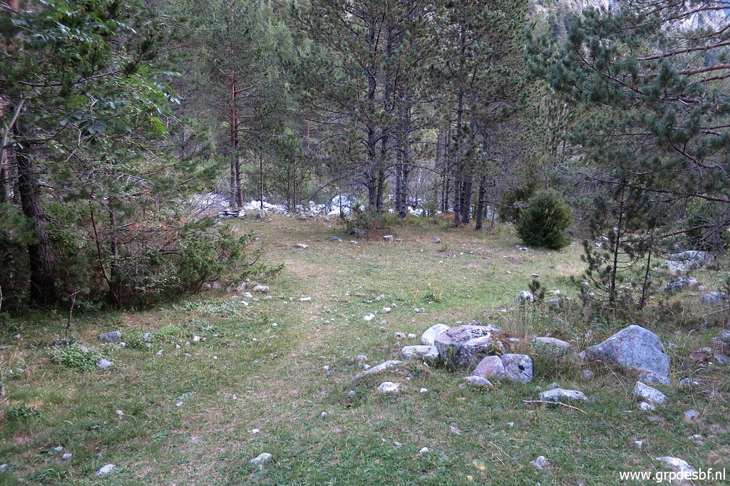 | Later on the trail/path/dirtroad climbs steadily along a stream. Here and there nice opportunities for a bivouac. (click photo to enlarge) |
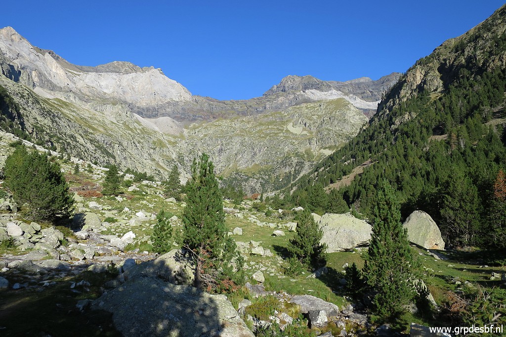
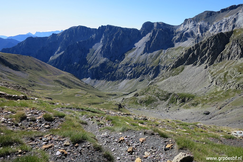
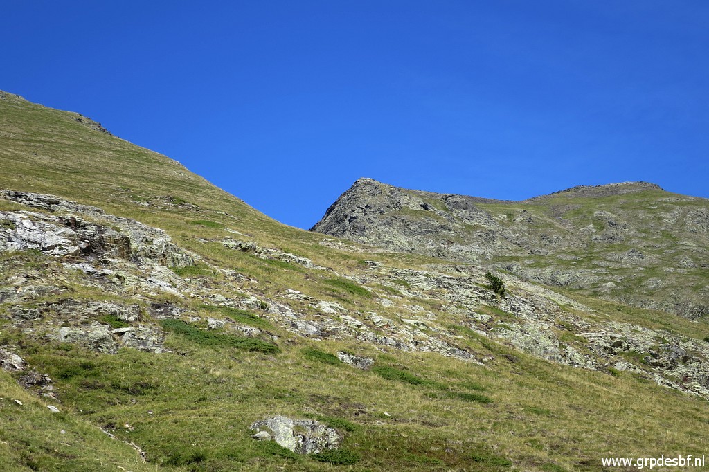
 | Then the cirque of Barroude comes in sight (click photo to enlarge) |
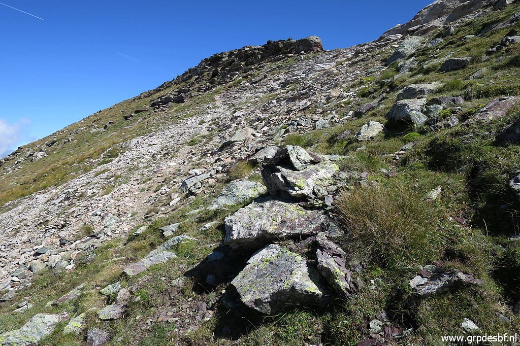
 | Looking back, an easy trail to follow (click photo to enlarge) |
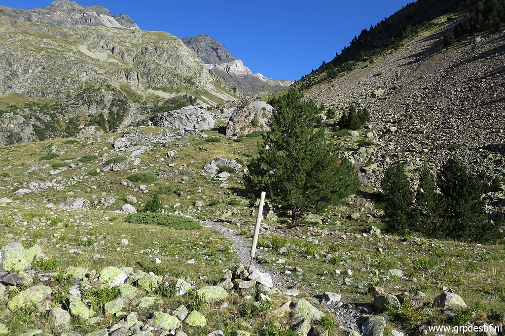
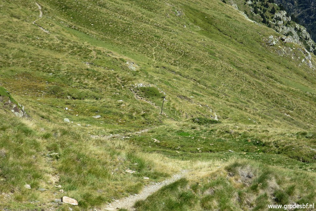
 | The path/dirtroad has become a trail (click photo to enlarge) |
 | which arrives at the bottom of the cirque. Still a long way to go & climb to Port de Barroude. (click photo to enlarge) |
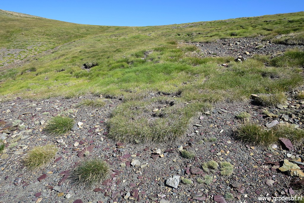
 | In
general, the waymarks are sufficient though sometimes missing in the
transfer from the cirque-bottom to where the real climbing starts. (click photo to enlarge) |
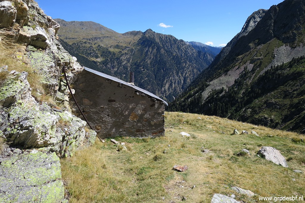
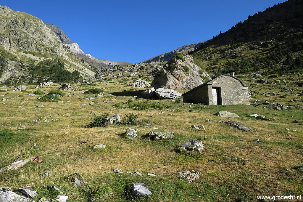 | A cabane in between, (click photo to enlarge) |
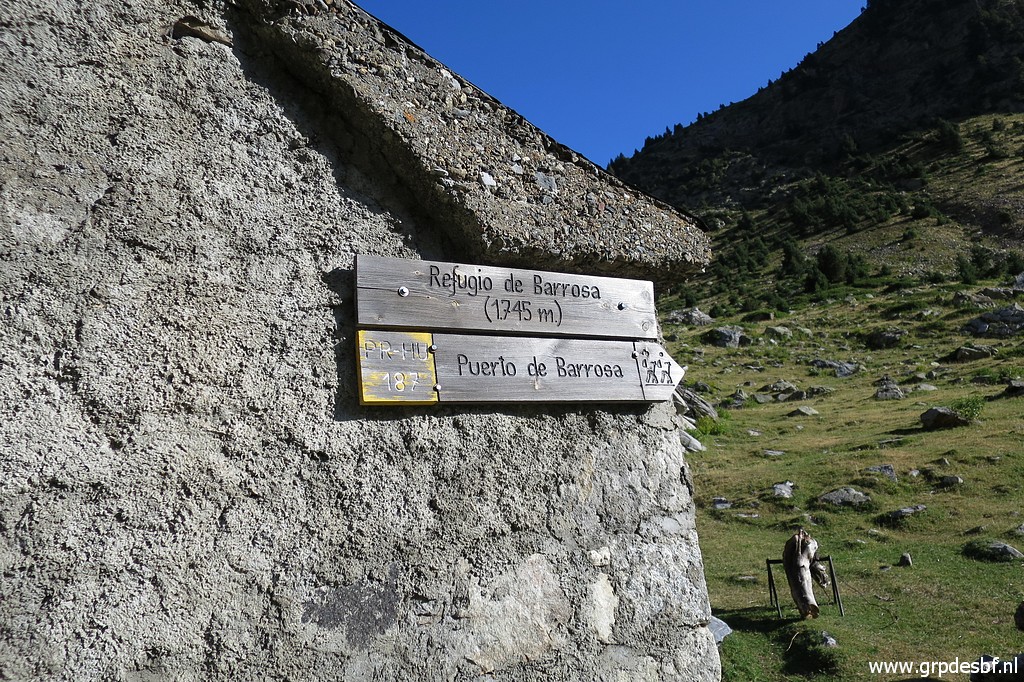 | the Refugio de Barrosa which (click photo to enlarge) |
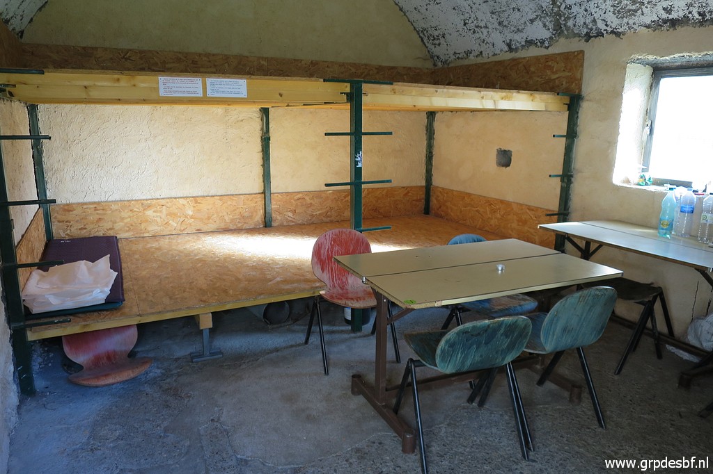 | is clean. (click photo to enlarge) |
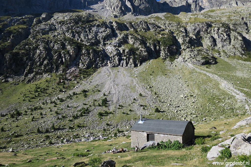 | Looking back at the refugio. (click photo to enlarge) |
 | Then
the trails climbs with many lacelets towards the Port de Barroude. The
waymarks get sometimes sparse but in general, wayfinding uphill is easy. On this picture, I can already spot (click photo to enlarge) |
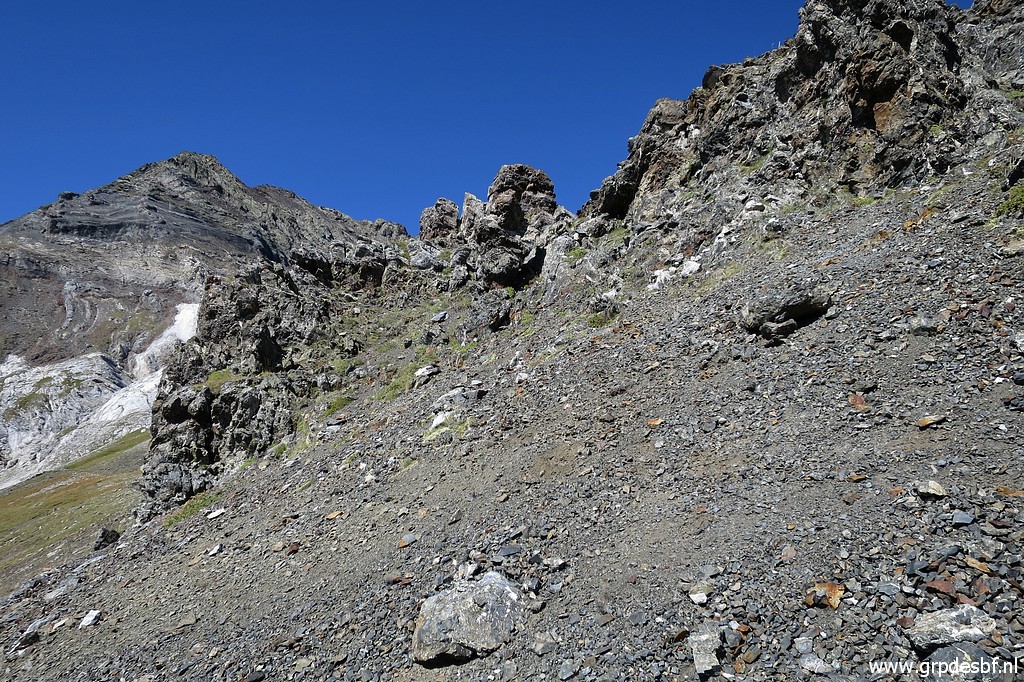
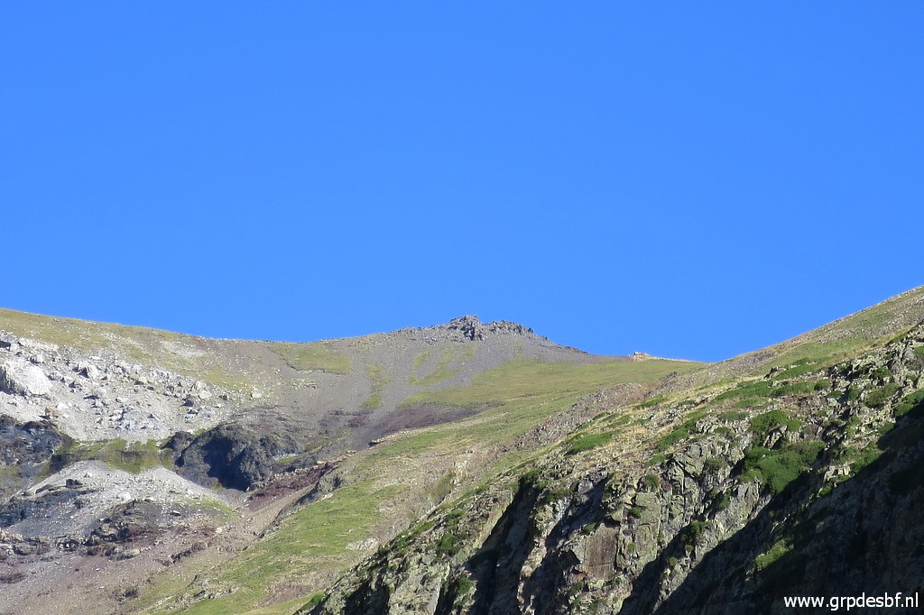 | the Port with the rocky outcrop which is 200m left (west) to the actual pass and where bm322 is to be found. (click photo to enlarge) |
 | Looking back (click photo to enlarge) |
 | The passing of a little stream, one of few (click photo to enlarge) |
 | The Port gets nearer (click photo to enlarge) |
 | Another view back into the valley. (click photo to enlarge) |
 | This crippled waymark (click photo to enlarge) |
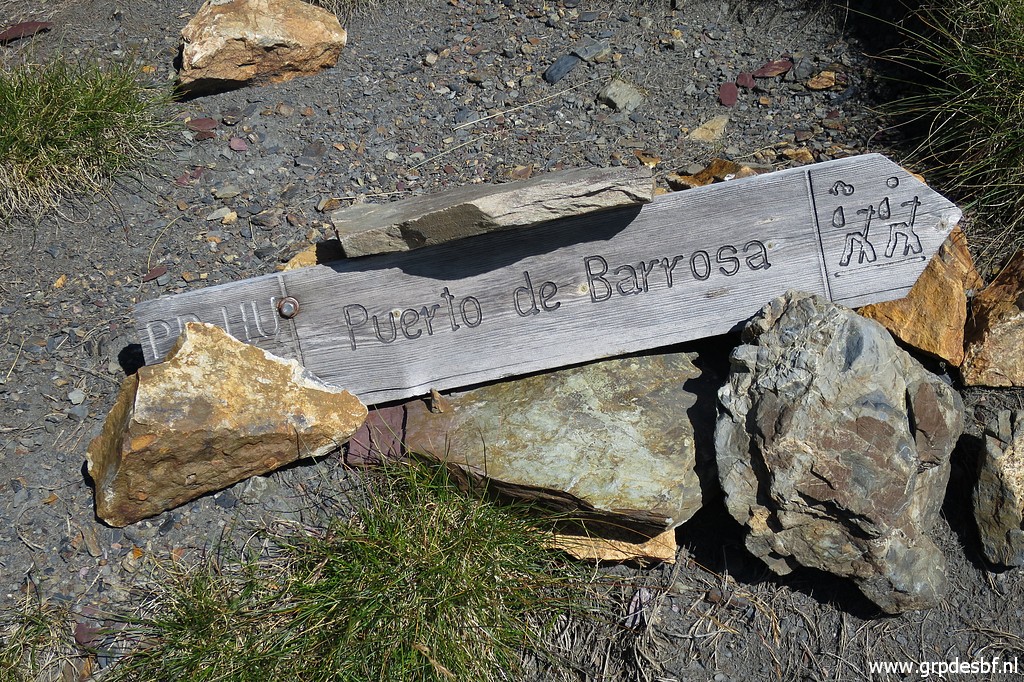 | points to the Puerto de Barrosa. (click photo to enlarge) |
 | Another time viewing back, I'm almost (click photo to enlarge) |
 | at the Port and (click photo to enlarge) |
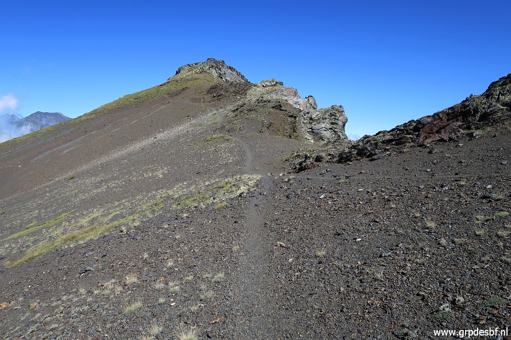
 | there we are. The Port is a broad saddle. (click photo to enlarge) |
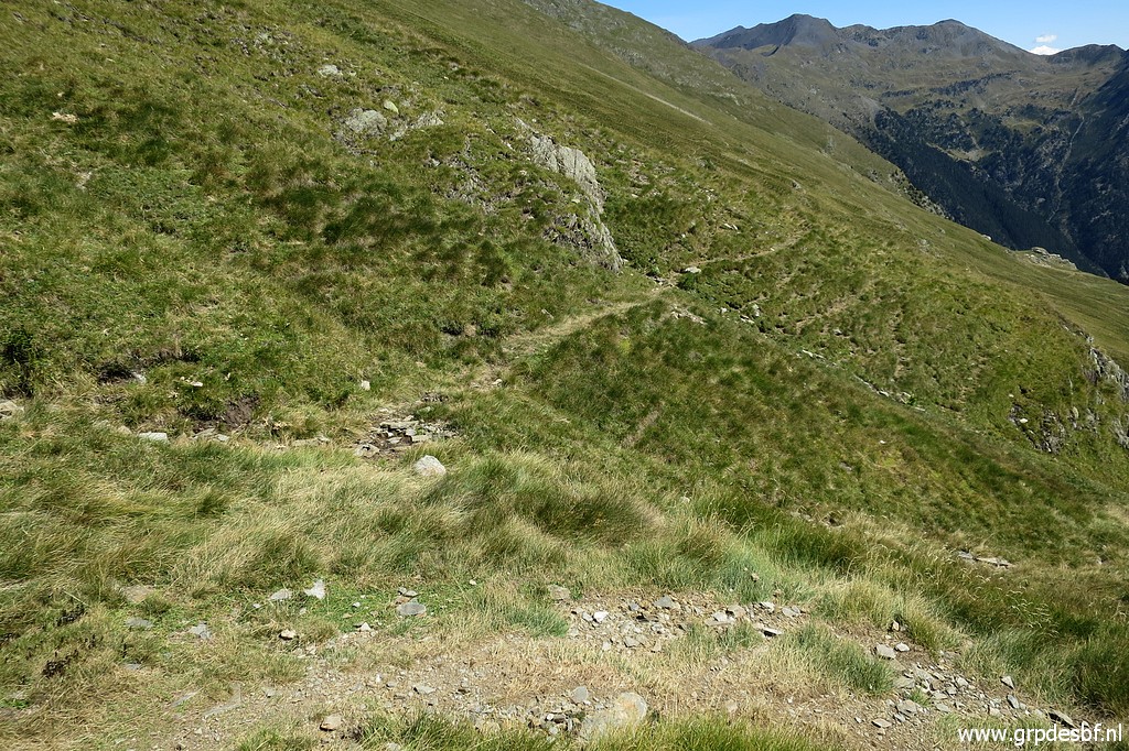
 | Wayfinding is not difficult here. (click photo to enlarge) |
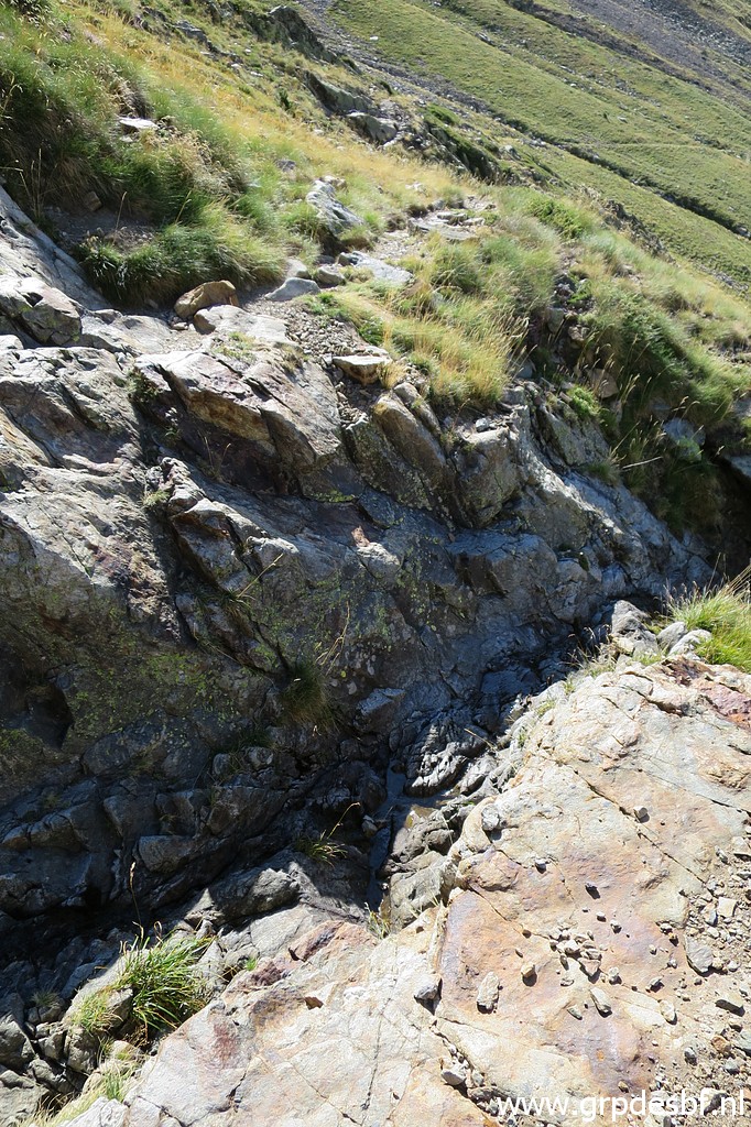
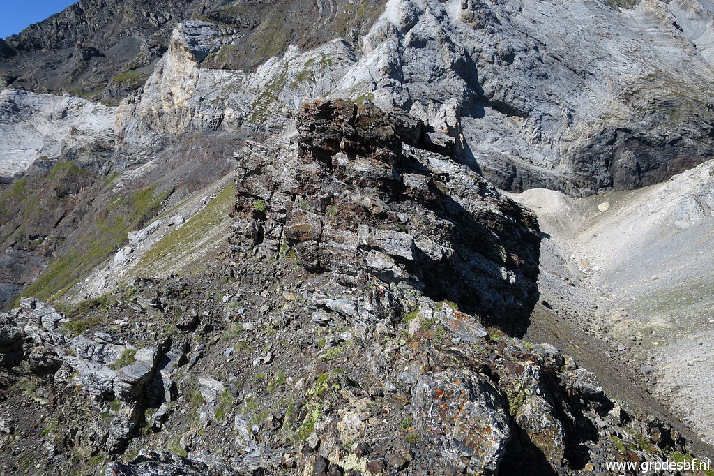
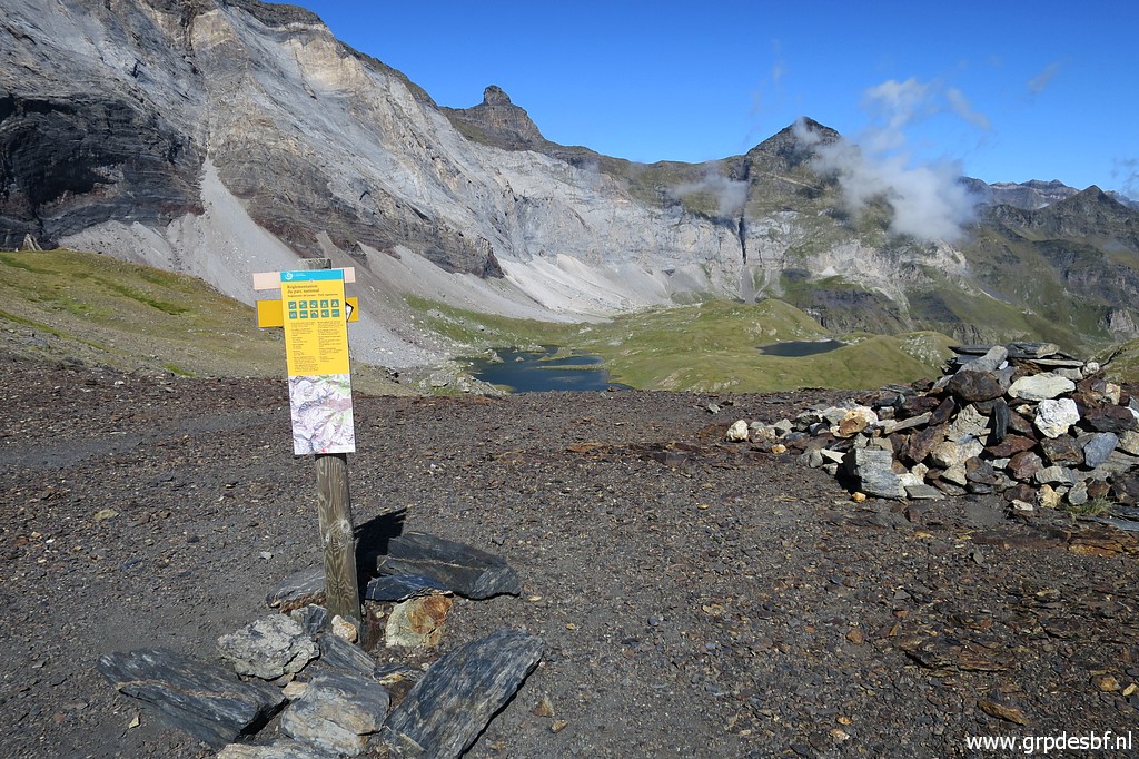
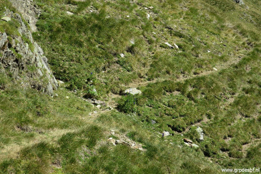
 | At the port itself, there's no bordermarker 322. It's located 200m to the west of the actual pass. (click photo to enlarge) |
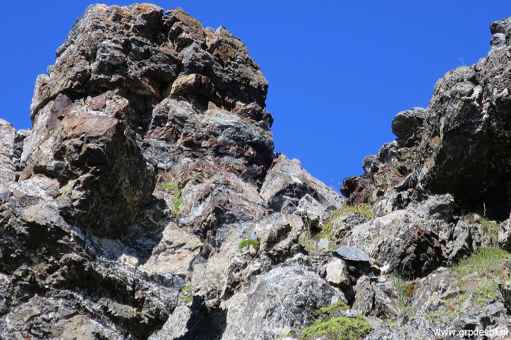
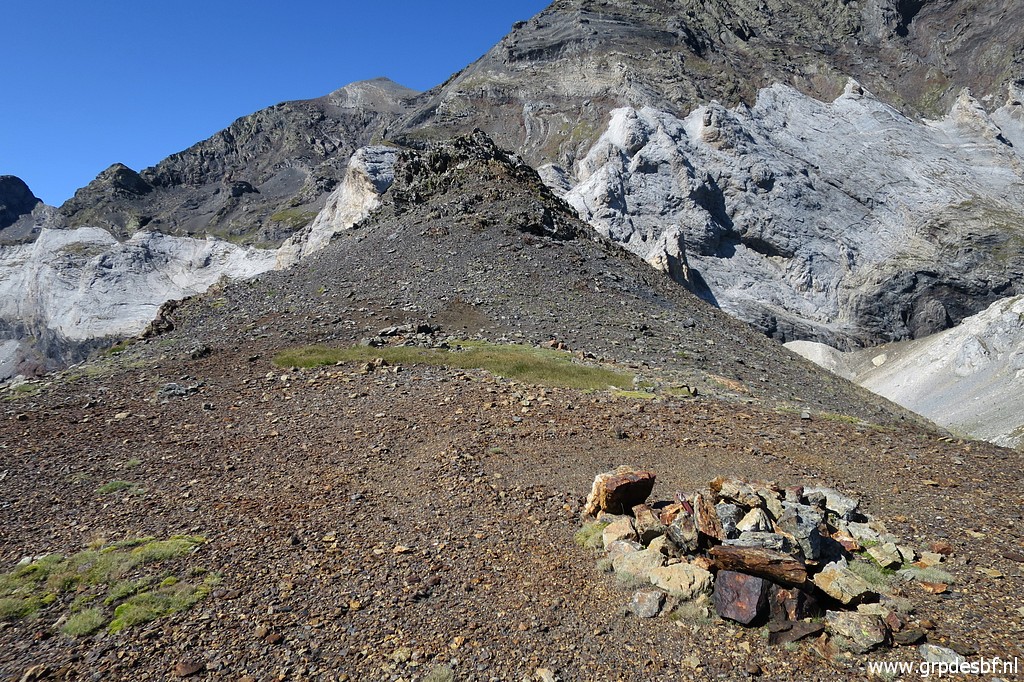 | Zoom-in: the rocky outcrop where you can find bm322 (click photo to enlarge) |
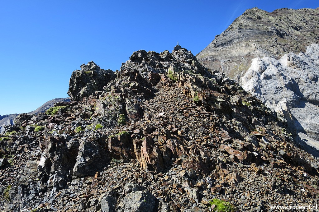 | The easiest access is going straight over the first top and then there's another small peak (click photo to enlarge) |
 | and there you will spot (click photo to enlarge) |
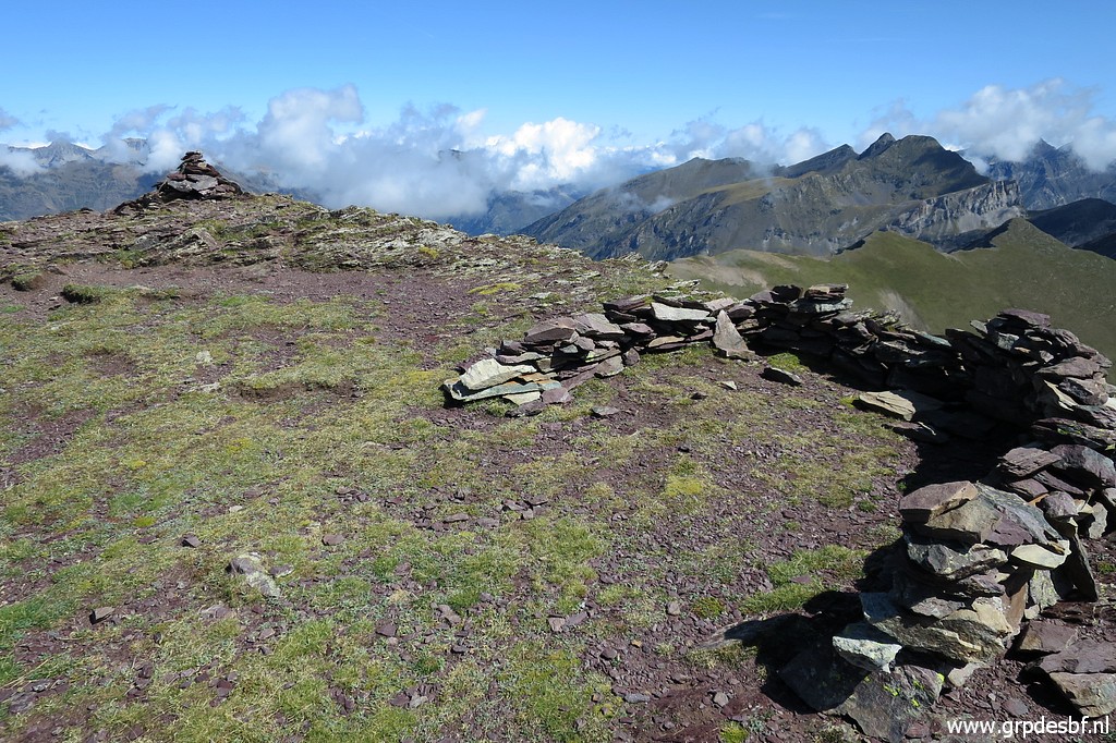
 | bm322 (click photo to enlarge) |
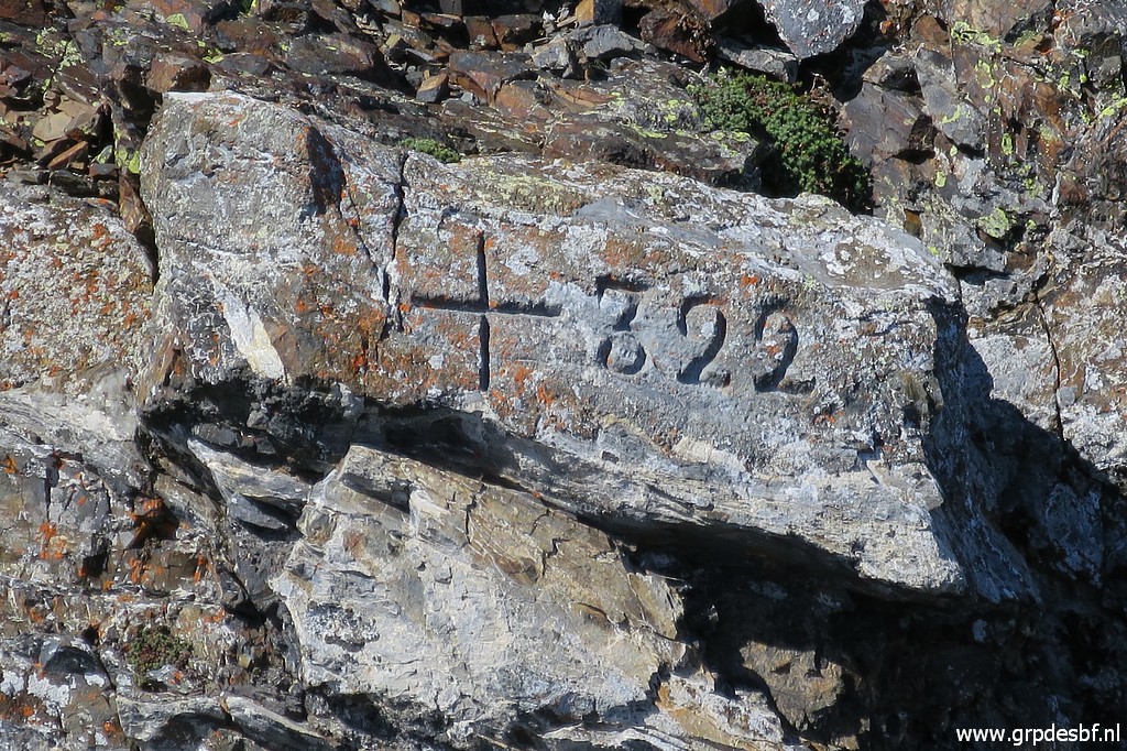 | Bm322 (click photo to enlarge) |
 | Bm322 (click photo to enlarge) |
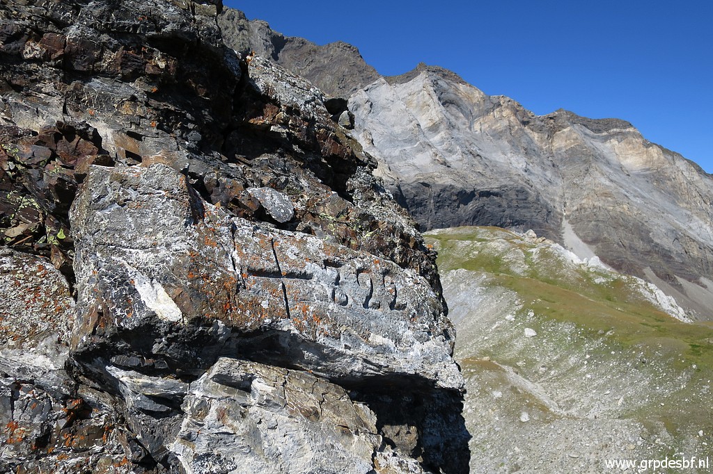
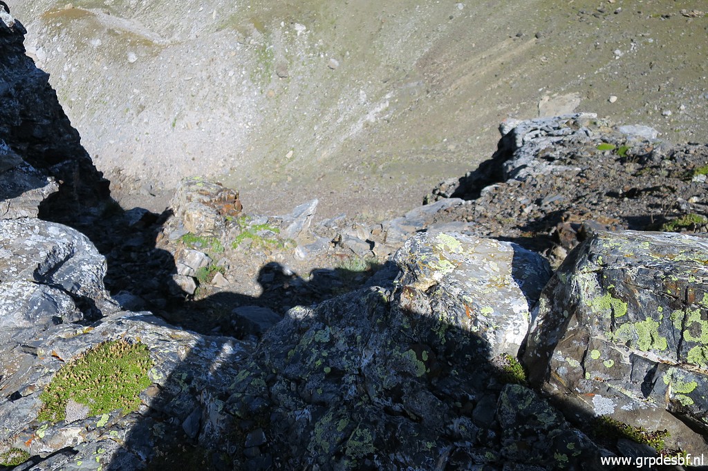 | From there (between the two peaks) you can descend slippery (click photo to enlarge) |
 | to the south-side of the rocky outcrop (click photo to enlarge) |
 | with this zoom-in back to the second peak with bm322. (click photo to enlarge) |
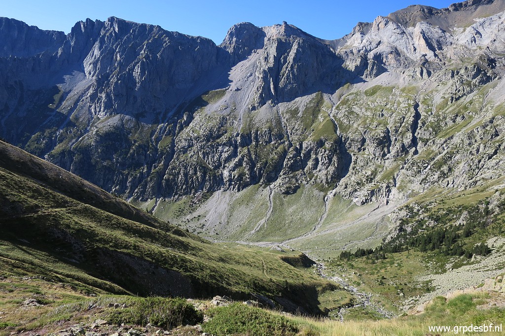
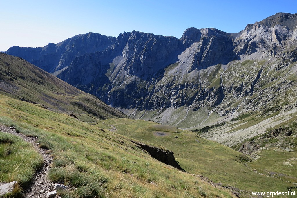
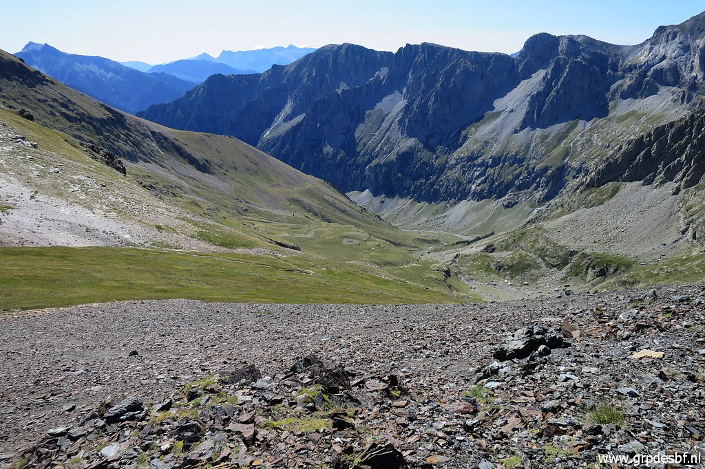 | I return to the actual Port de Barroude with this view down the cirque de Barroude. (click photo to enlarge) |
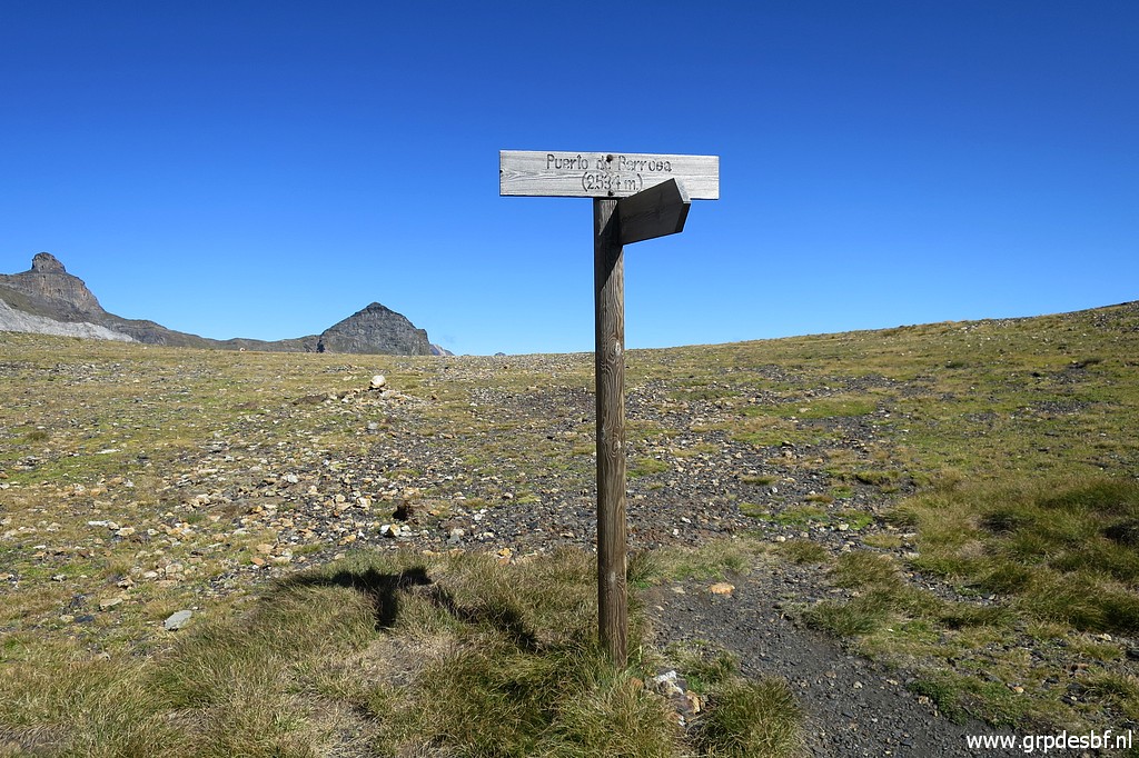
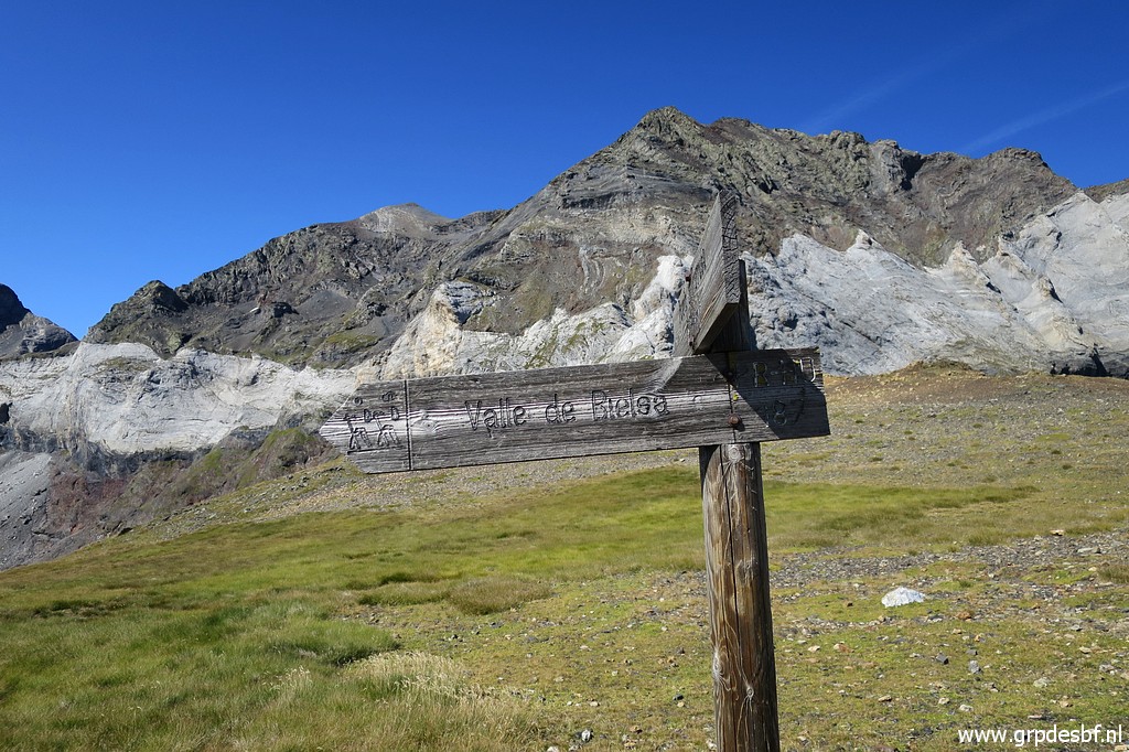
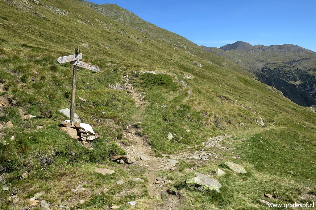
 | There's another signpost, more at the saddle itself (click photo to enlarge) |
 | At
the French side, we see a few lakes (Lacs de Barroude) with
bivouac-spots. There used to be a guarded refuge besides them but that
one got lost in a fire, some years ago. (click photo to enlarge) |
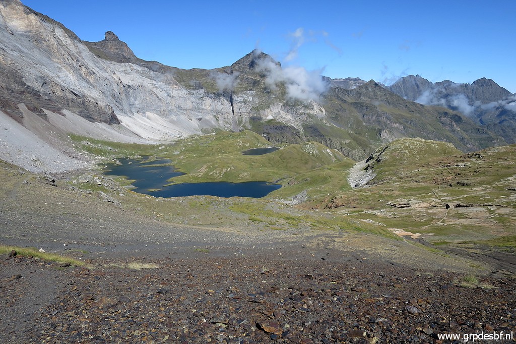 | View of the lakes at the French side. (click photo to enlarge) |
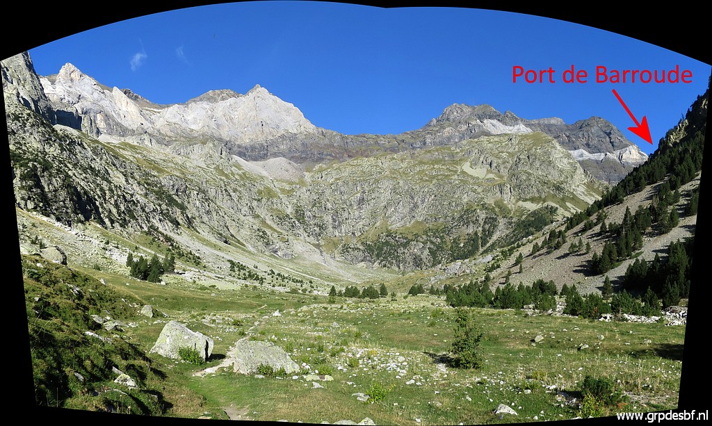
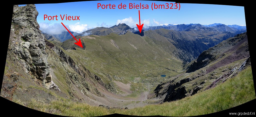
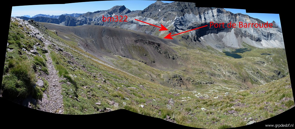
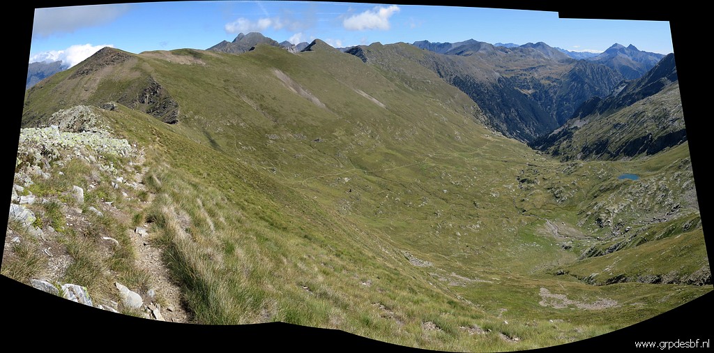
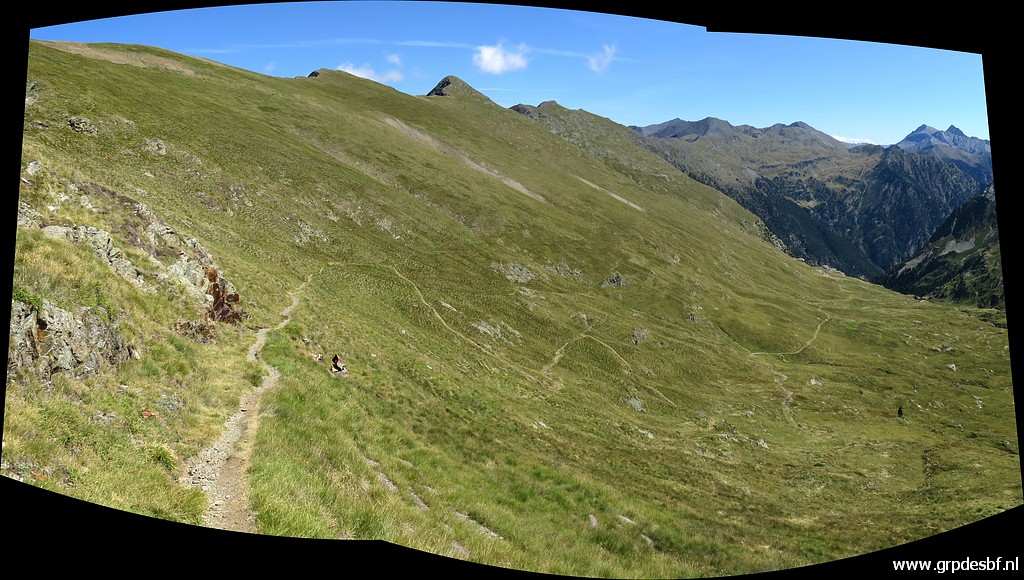
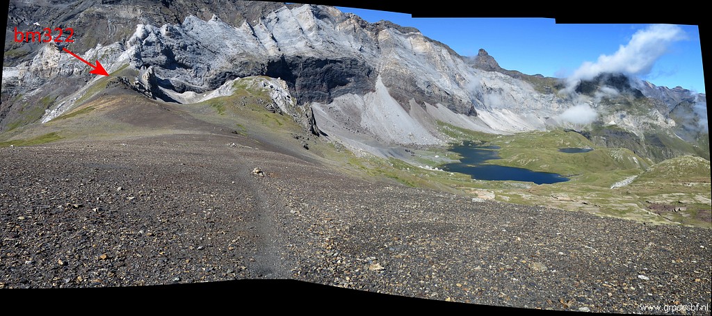 | This panorama shows the broad saddle of Port de Barroude - looking west - with the location of bm322. (click photo to enlarge) |
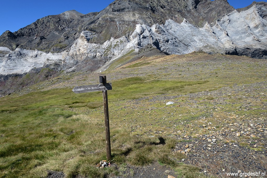
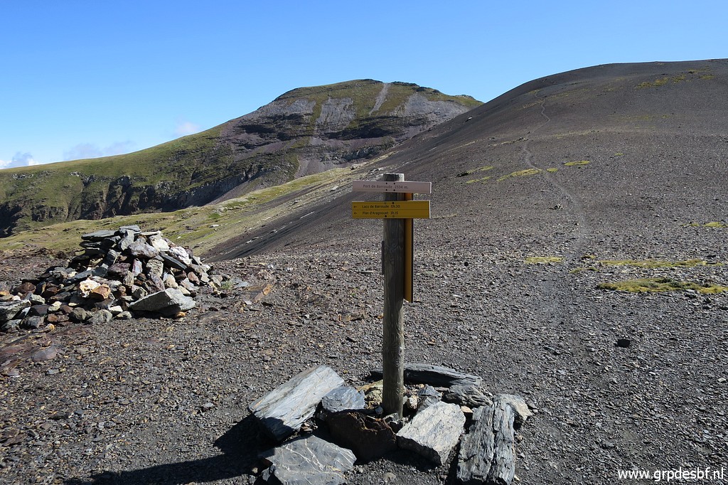
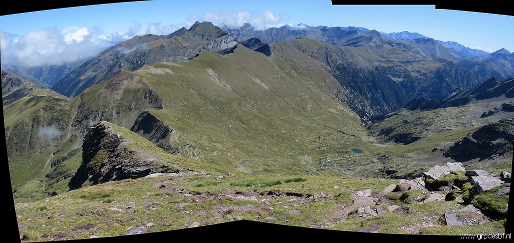
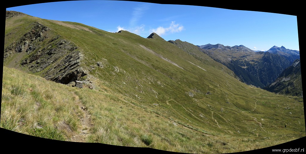
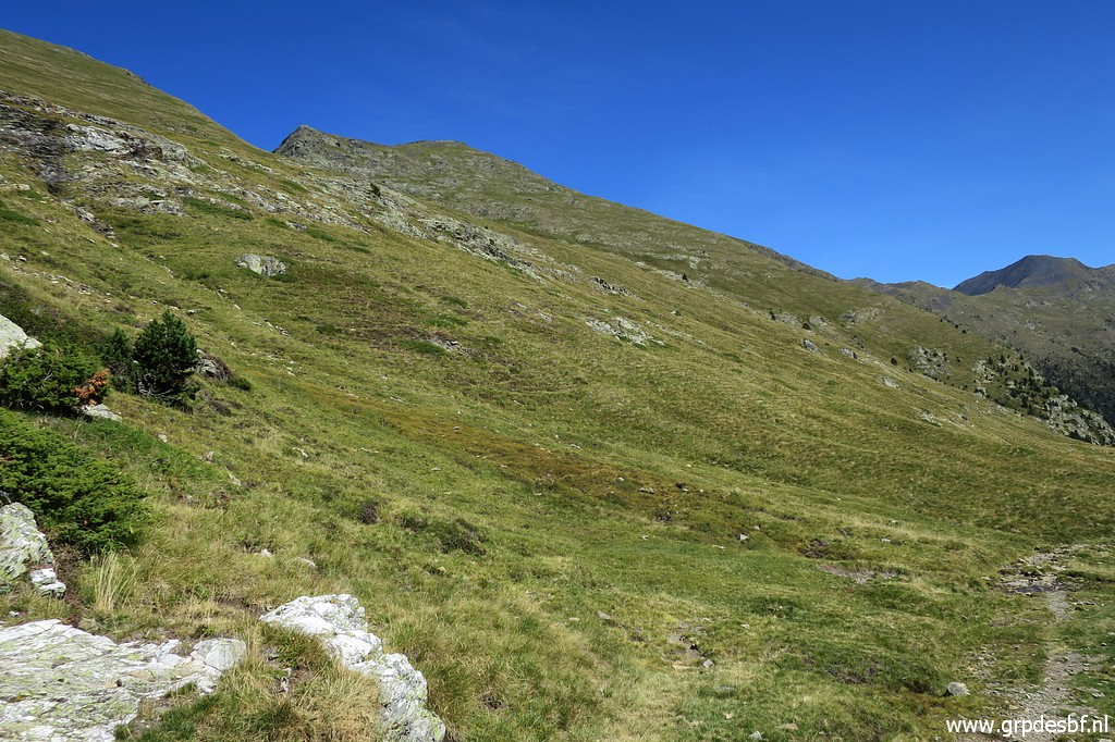
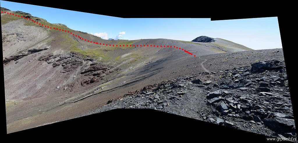 | I continue E -> NE along the broad ridge on a well trail. (click photo to enlarge) |
 | The trail heads to the Pic de Port Vieux. In between there's a sort of pass (click photo to enlarge) |
 | where you have this view ahead. Descending here towards Port Vieux is not possible: it is too steep. (click photo to enlarge) |
 | Zoom-in to Port Vieux (click photo to enlarge) |
 | Zoom-in to Porte de Bielsa (bm323) (click photo to enlarge) |
 | I have to climb further to Pic de Port Vieux before I can descend to Port Vieux (click photo to enlarge) |
 | Looking back to Port de Barroude (click photo to enlarge) |
 | Having arrived at Pic de Port Vieux. From here the descent to Port Vieux is steep. (click photo to enlarge) |
 | Lookin forward with (click photo to enlarge) |
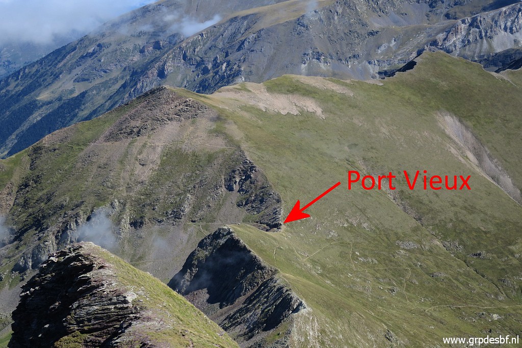 | a zoom-in to Port Vieux (click photo to enlarge) |
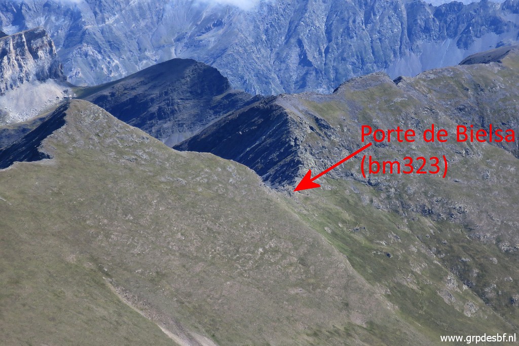 | and to Porte de Bielsa (click photo to enlarge) |
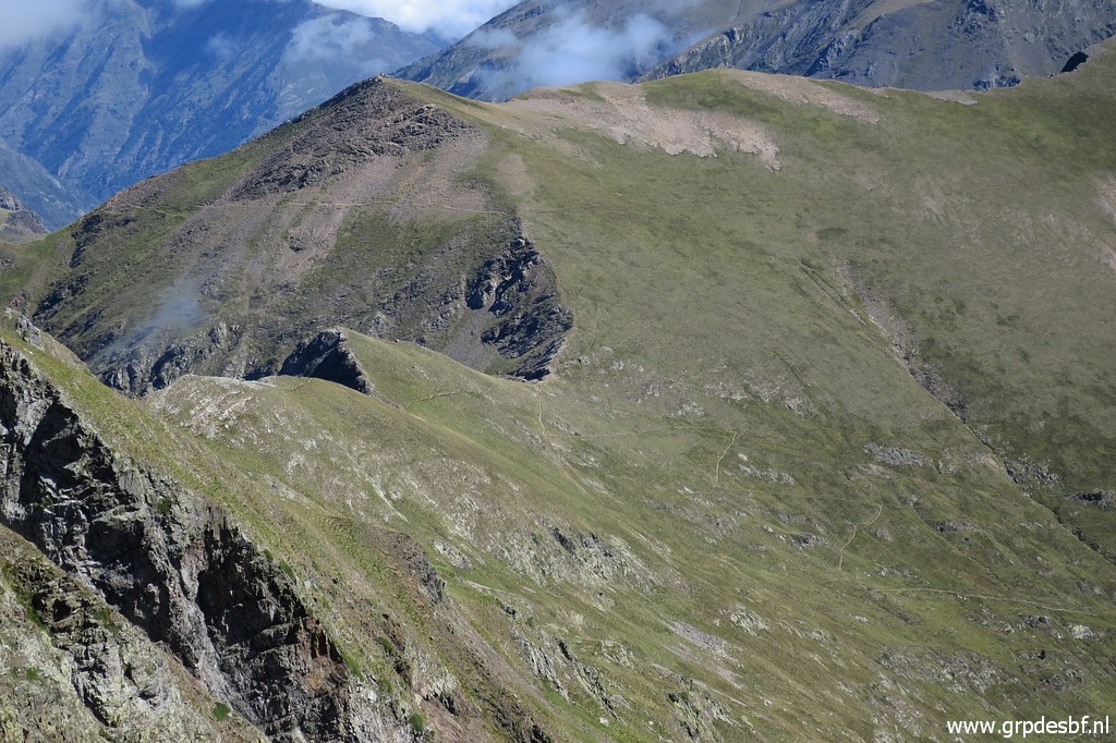
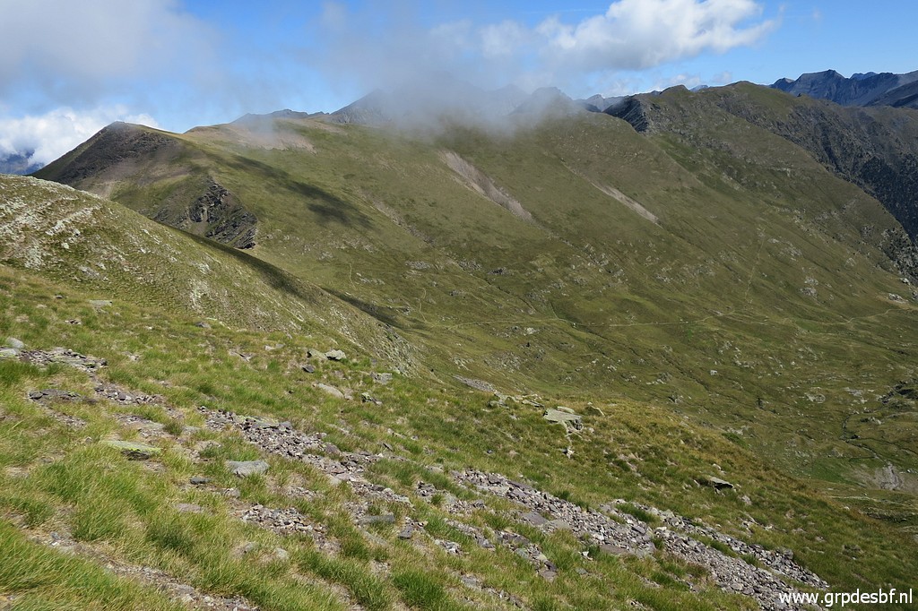 | A view of the mountainside (click photo to enlarge) |
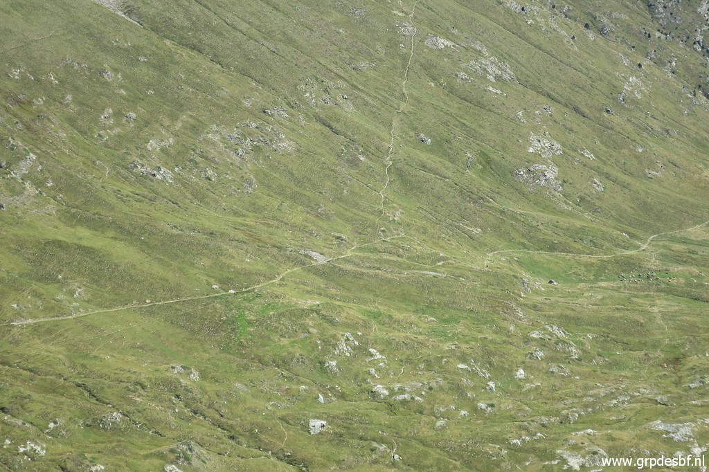 | with (zoom-in) the trail that descends into the valley and the branch which climbs to Porte de Bielsa. (click photo to enlarge) |
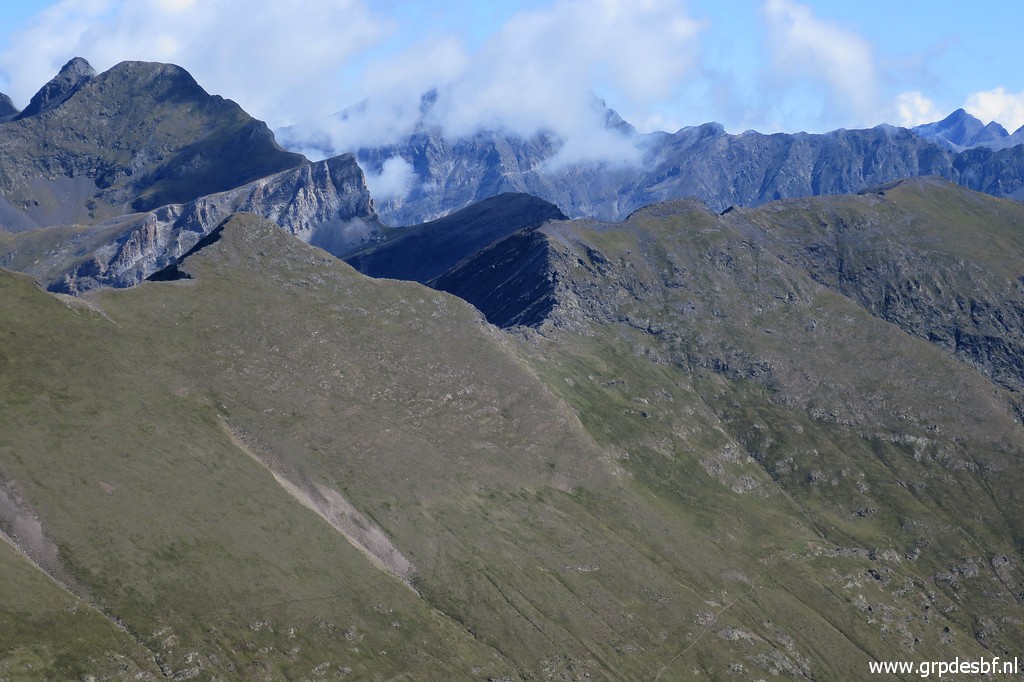
 | Another view of ridge and valley (click photo to enlarge) |
 | Getting close to Port Vieux (click photo to enlarge) |
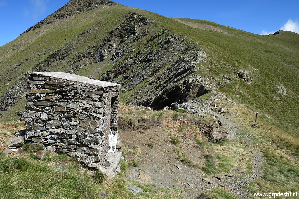 | with its old cabin for the custom officers, too small to sleep in. (click photo to enlarge) |
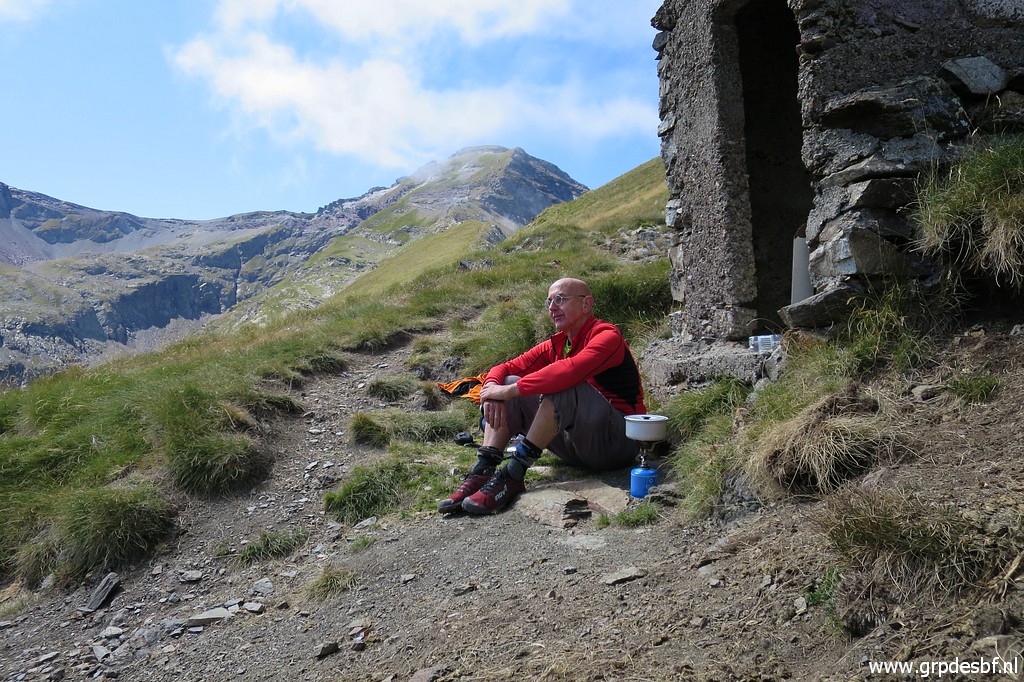 | It took me 1:30h to get from Port de Barroude to Port Vieux. Time for a lunch-break, 6 hours after I left. (click photo to enlarge) |
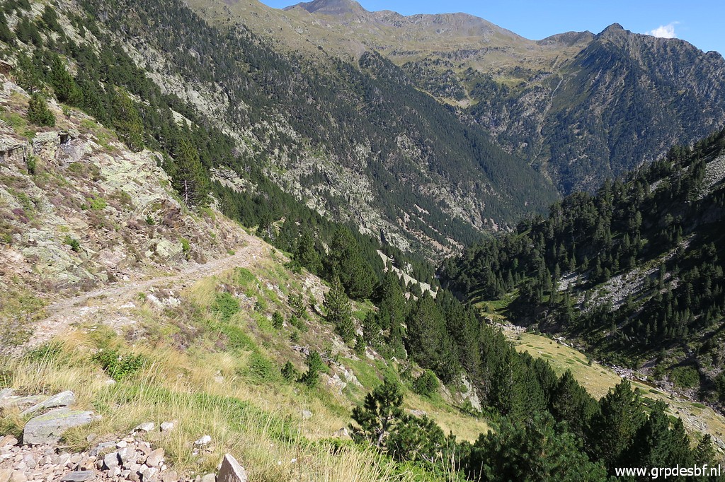
 | It's already too late to include bm323 (Porte de Bielsa) and its more practical to do the range bm323-325 in a separate trip. Thus: I start descending along a fine and waymarked trail down the valley. It will take me 2 hours to reach the entrance of the Bielsa-tunnel. (click photo to enlarge) |
 | This seems a first branch towards Porte de Bielsa. (click photo to enlarge) |
 | A yellow cross on a rock to indicate that you should follow the trail downhill (click photo to enlarge) |
 | Passing a stream, one of few (click photo to enlarge) |
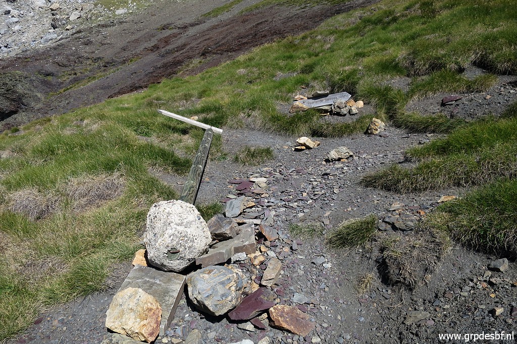
 | And here I'm close to the bifork (click photo to enlarge) |
 | with a signpost (click photo to enlarge) |
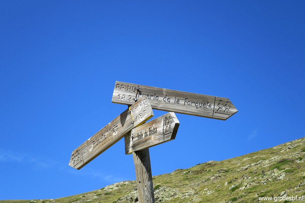 | indicating the trail to Porte de Bielsa (Puerto de la Forqueta) and the trail to Port Vieux. (click photo to enlarge) |
 | A bit further I can spot uphill (click photo to enlarge) |
 | Porte de Bielsa (click photo to enlarge) |
 | A cabane on my way downhill (click photo to enlarge) |
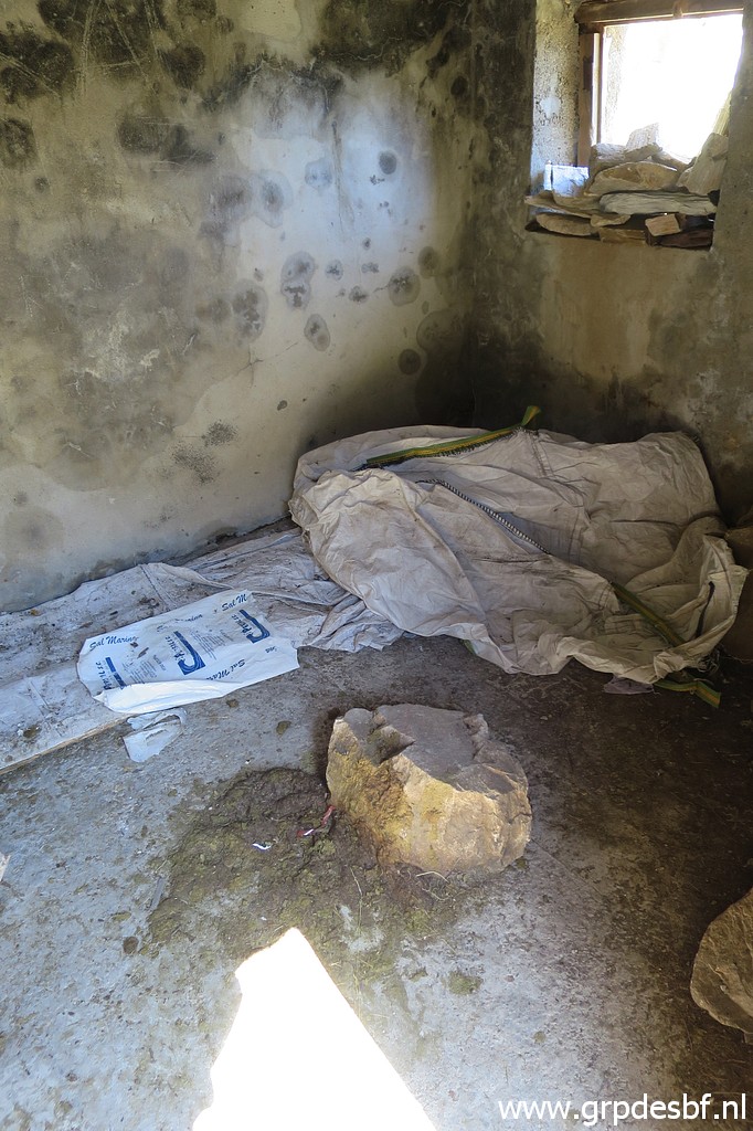 | which is not very inviting (click photo to enlarge) |
 | I continue downhill (click photo to enlarge) |
 | and the building at the entrance of the Bielsa-tunnel gets in sight (click photo to enlarge) |
 | And having arrived at the beginning of the trail, behind the building at the entrance of the Bielsa-tunnel (click photo to enlarge) |
 | Information-panel (click photo to enlarge) |
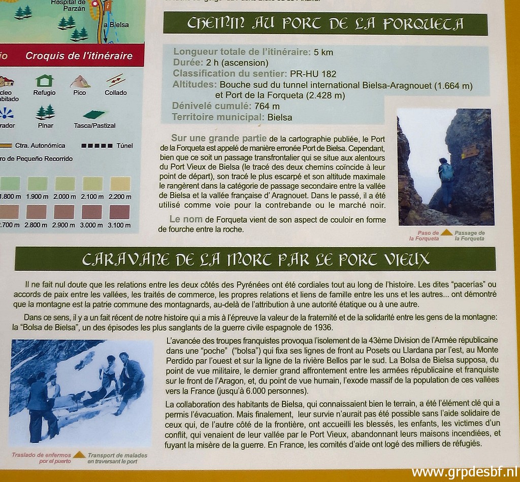 | with information about the trail to Porte de Bielsa: it will take 2 hours from here, it says. (click photo to enlarge) |
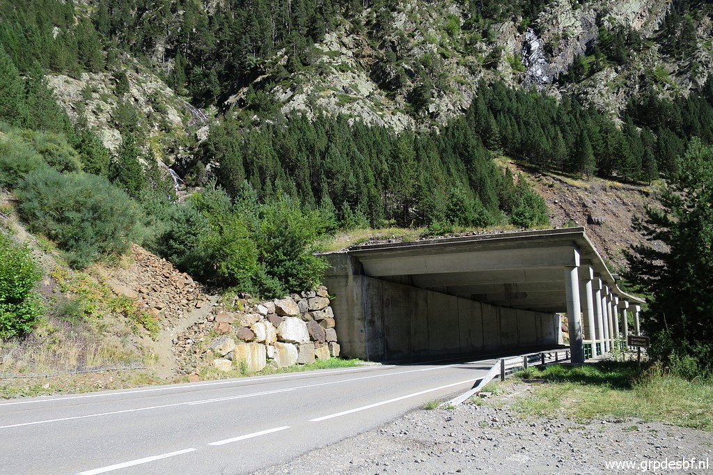
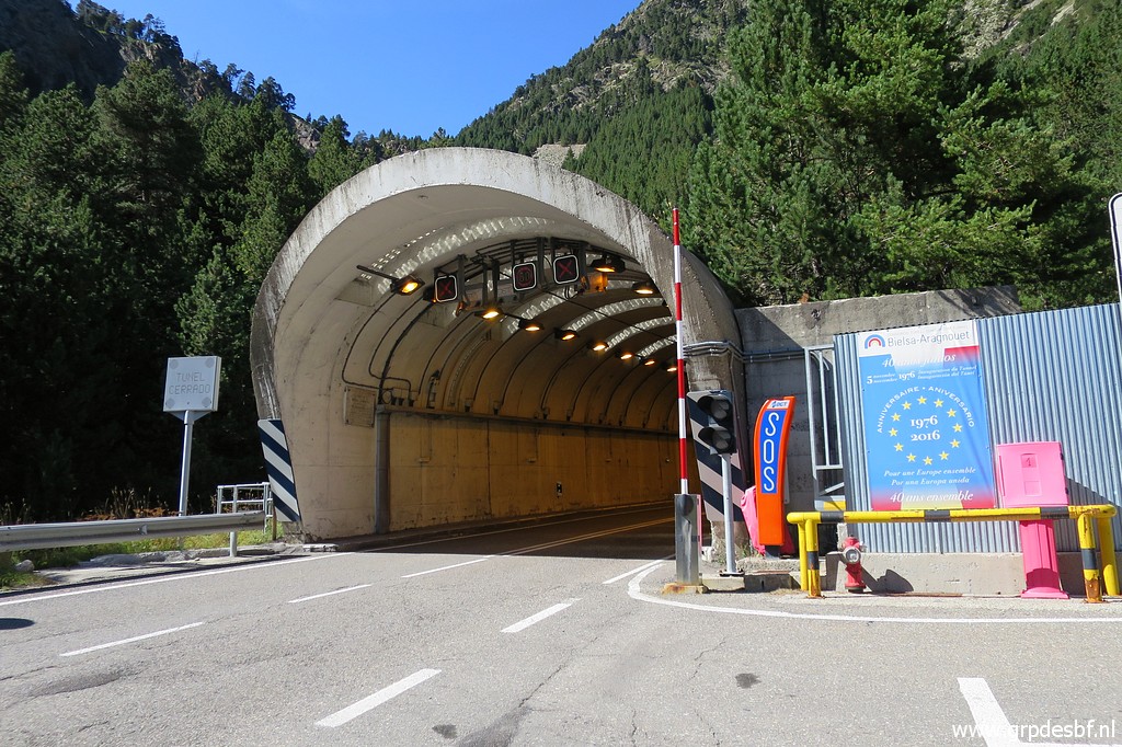 | The entrance of the Bielsa-tunnel (click photo to enlarge) |
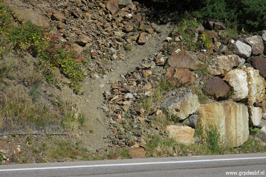
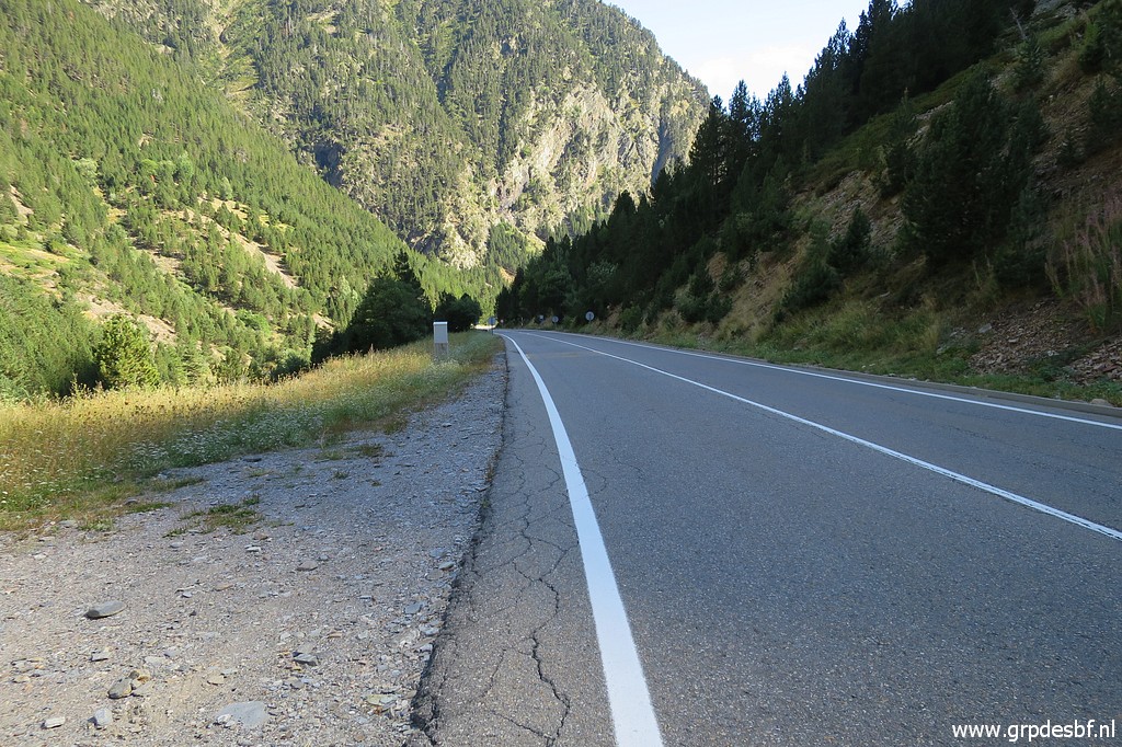 | Now I have to return to my car, about 3km along the road. In general there's space enough at the roadside for a safe walk. It helps that the traffic through the tunnel is alternating, changing every 10 or so minutes in the other direction). So the traffic coming from the tunnel passes in 'caravanes'. (click photo to enlarge) |
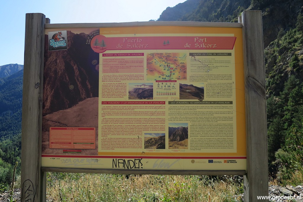 | I pass along the information board about the (click photo to enlarge) |
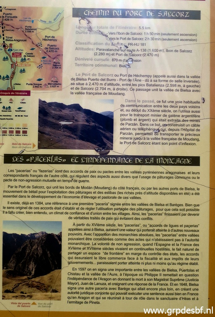 | trail to Port de Héchempy (Puerto de Salcorz, bm324) which (click photo to enlarge) |
 | starts and ends here, just before this tunnel. It should take 2:30h to get there from here. (click photo to enlarge) |
 | Close-up. Is this trail useful? Well, it might be when you get trapped at the ridge by bad weather. At the Port de Héchempy (bm324), one could descend along this trail to safer grounds (or descend on the french side) (click photo to enlarge) |
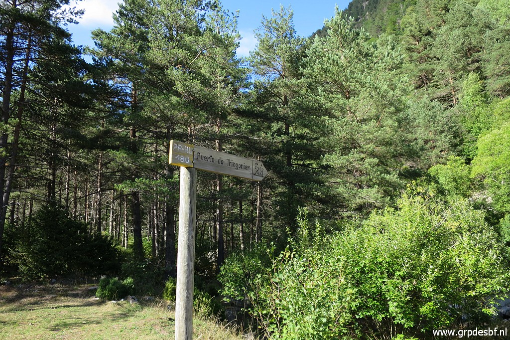
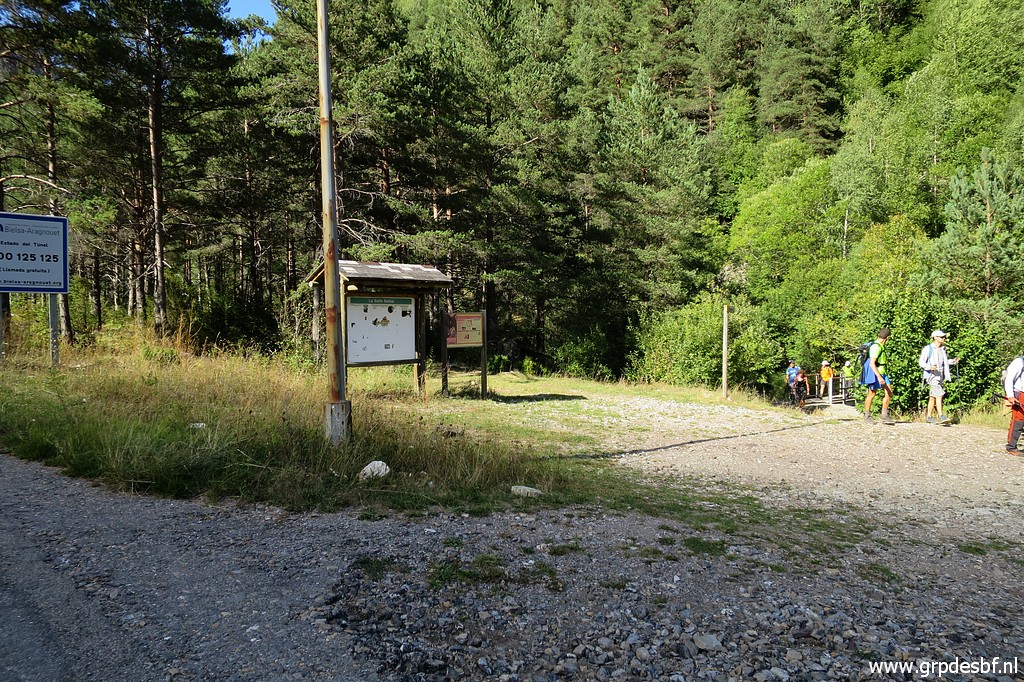 | After arriving at my car, I drive south to this parking lot. That is where the trail to/from Port de Moudang (bm325) starts or ends. (click photo to enlarge) |
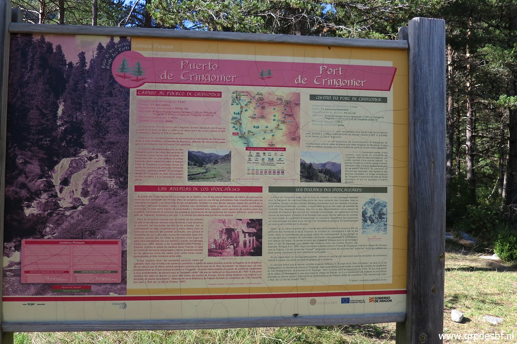 | With the inevitable information board (click photo to enlarge) |
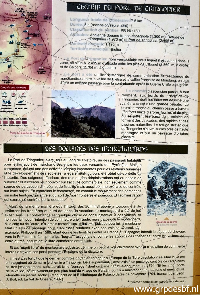 | on the trail to Port de Moudang (Puerto de Trigoniero, bm325). It's a climb of 3h. (click photo to enlarge) |
 | This
trail is important. Yesterday I discovered that 'my' trail from bm325
to Hospice de Rioumajou had vanished. That is to say: the orange
painted waysigns along the mountainside were largely gone or faded away. Moreover, the long exposed main trail over the high mountainridge between bm322 and 325, I consider now as too vulnerable for the main grpdesbf- route. That part is more suitable for a variant. Let's show my old and new design. (click photo to enlarge) |
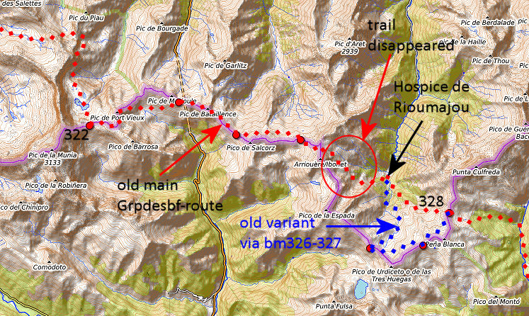 The old routes. |
|
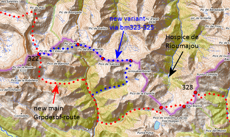 My new route: more easy with mostly waymarked trails but more elevation meters by its descent to the road and ascent to bm326. Involves 3,5 kilometers along the tarmac road. Has to be worked out in the grpdesbf-stages. Note: the Topopirineos-map shows a trail (roughly 6km) along the mountainridge from bm325 to 326, potentially a great shortcut in good weather. But a route on Topopirineos doesn't necessarily imply a physical trail let alone easy to do. |
|
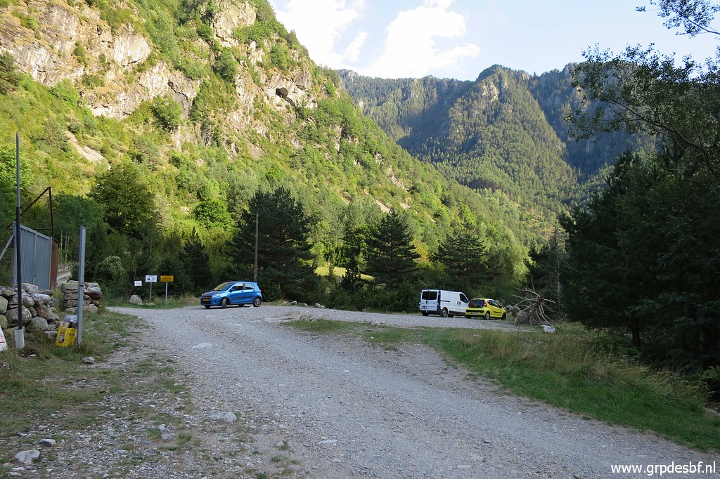 | The
next stop is where the trail to Port d'Ourdissétou (Puerto de Urdiceto,
bm326) starts. That's a dirtroad for almost its entire length This is the parking, off the main road. (click photo to enlarge) |
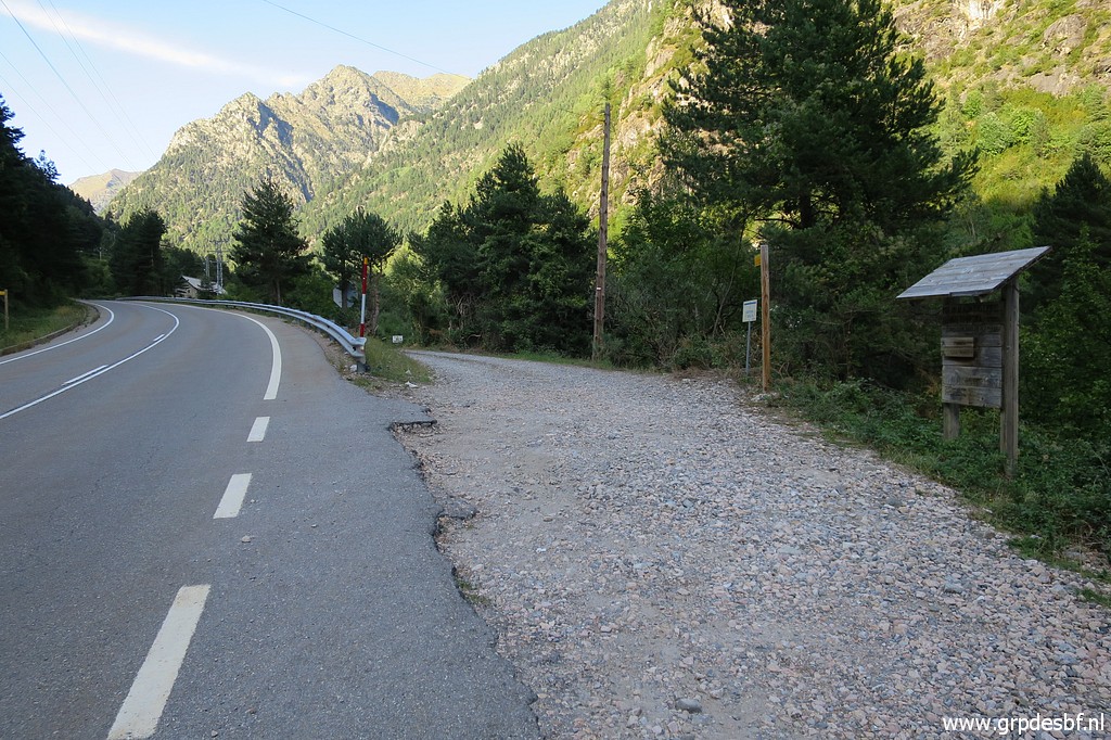 | and this is the main road from Tunnel de Bielsa where you got to leave the main road. (click photo to enlarge) |
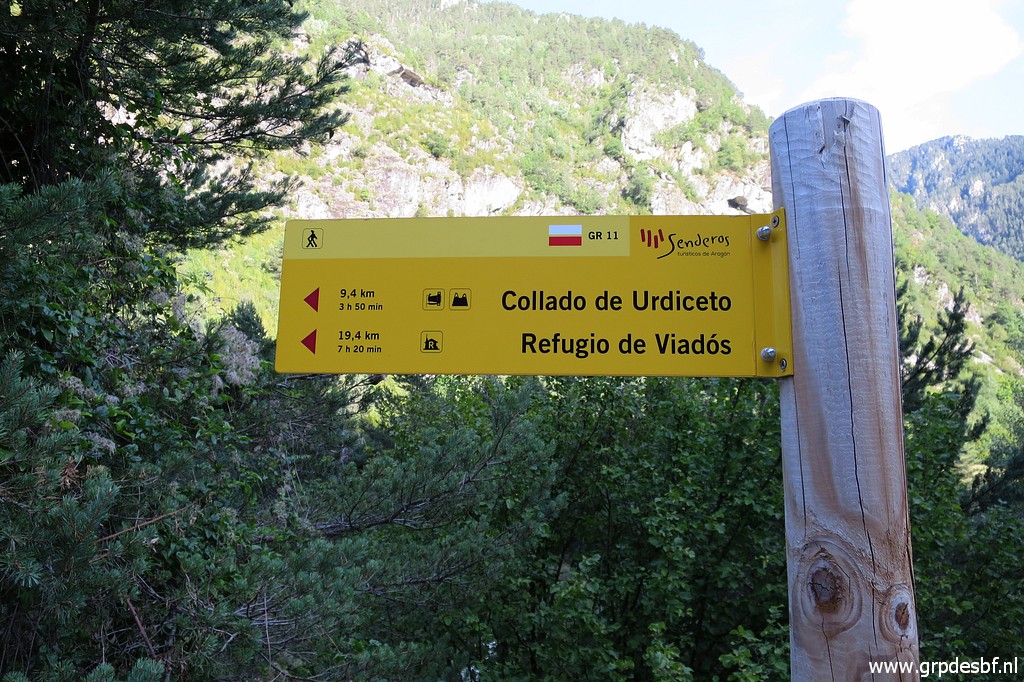 | You can read that is will take almost 4 hours to get to Port d'Ourdissétou (bm326) (click photo to enlarge) |
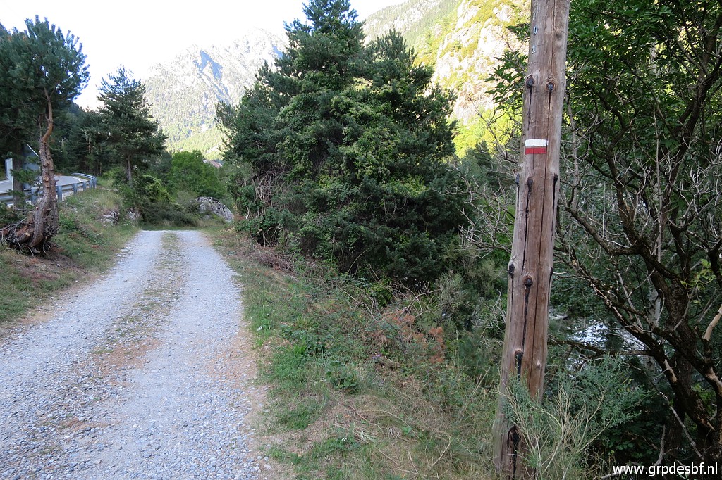 | It is red-white waysigned. Enough for today. I drive back to France, to Vignec, to the camping. I'm content with this reconnaissance. This is my last trip, the next day I will drive to Lourdes for a day of rest and some devotion. Then back home via a camping & hikingstop in Northern France. (click photo to enlarge) |