|
The
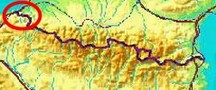
bordermarkers of the Pyrenees : all my trips
 |
|
| -
wednesday 24 june
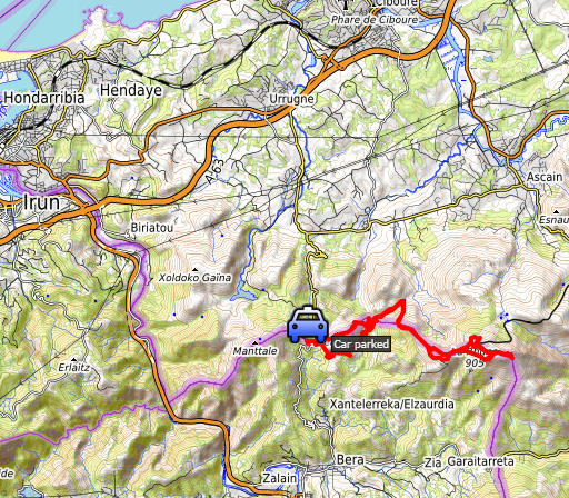
2020 - Doing 012-028 from Col d'Ibardin |
 |
 |
Summary:
part of a series of 6 trips in june 2020 near Luchon and in the Basque
country. This is trip 4. Today: from Col d'Ibardin a long trip towards La Rhune and back, redoing the bordermarkers 012 to 028. Basecamp = camping Xokoan in Dantxaria. Weather: sunny, warm, hot in the afternoon. |
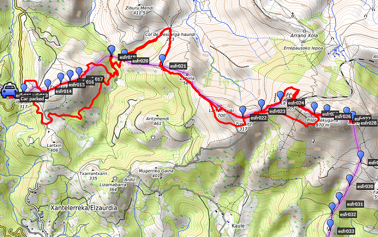 track-20200624.kml
(click to open this trip in Google Earth or copy link to Google Maps; click right on this link to download gpx-version). The gps-track has not been manually corrected which explains the inaccuracy and misalignment at some points. For cartographic backgrounds: see the cartography-page Gps-waypoints of all bordermarkers (most recent version): kml: esfr-bordermarkers-all-waypoints.kml gpx: esfr-bordermarkers-all-waypoints.gpx (with elevation added by gpsvisualizer.com) |
|
 |
According to Garmin
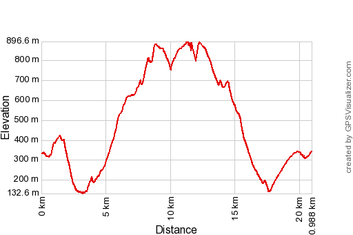
Basecamp (uncorrected track): Distance: 23,9 km Max-height: 898m Min-height: 129m Elevation: +1411m -1380m Total elevation: 2791m Start 7:20 Finish 17:25 Total time: 10:05 |
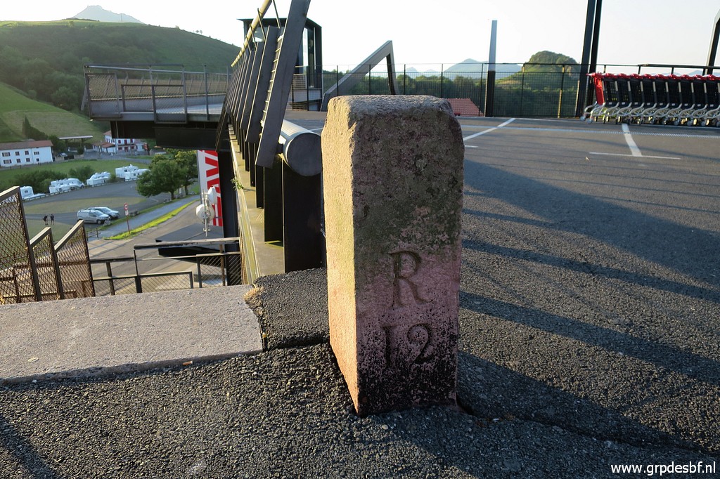
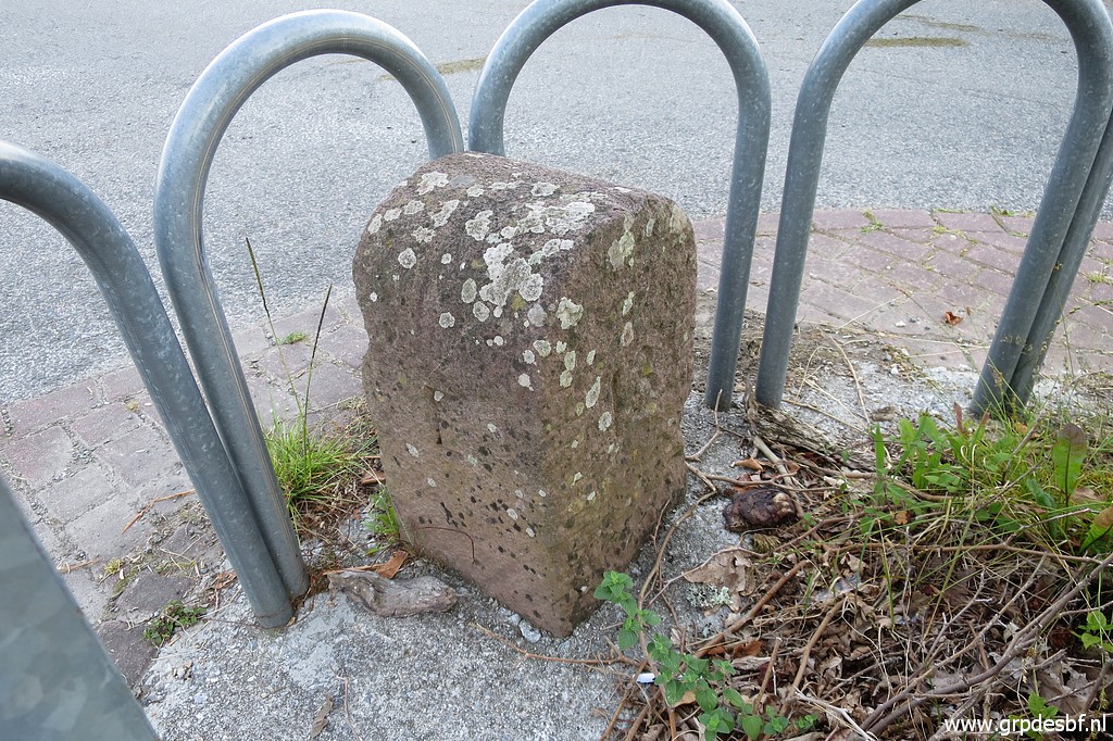
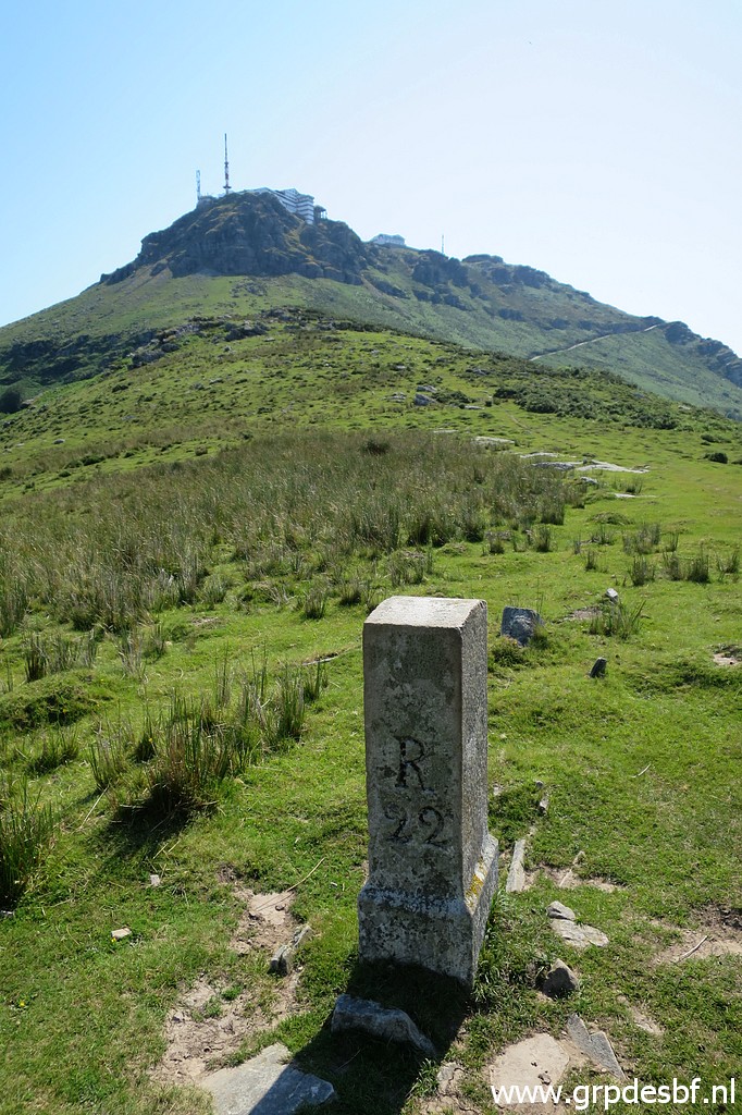
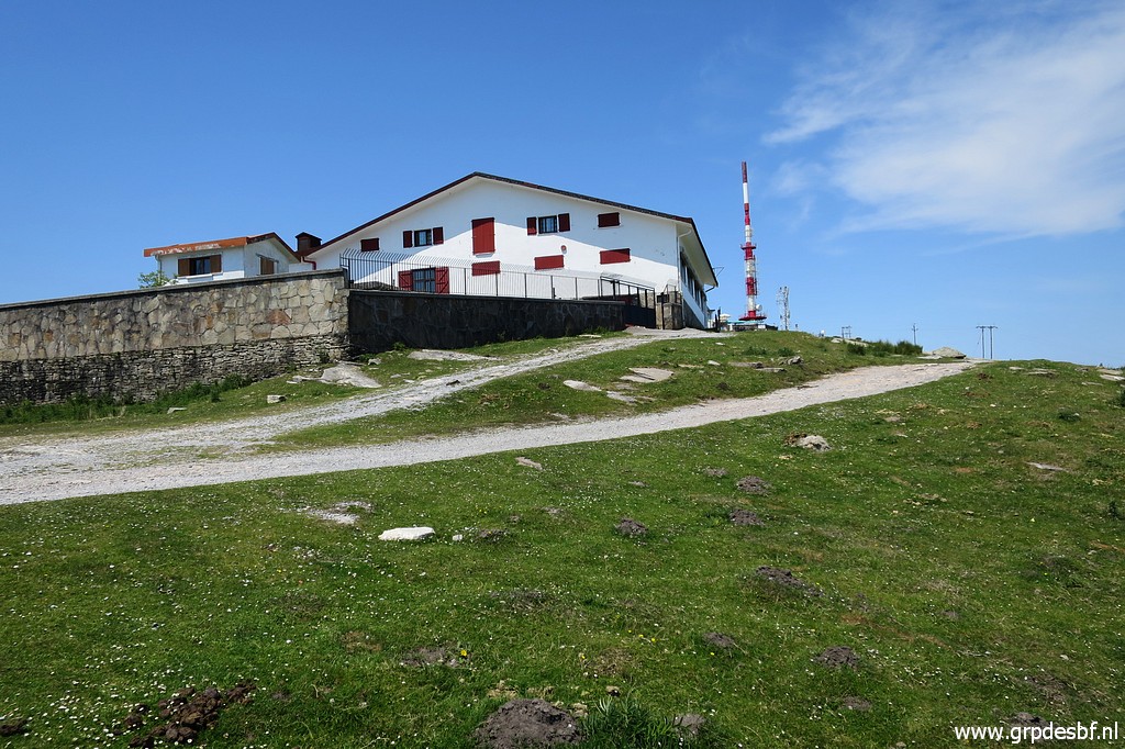
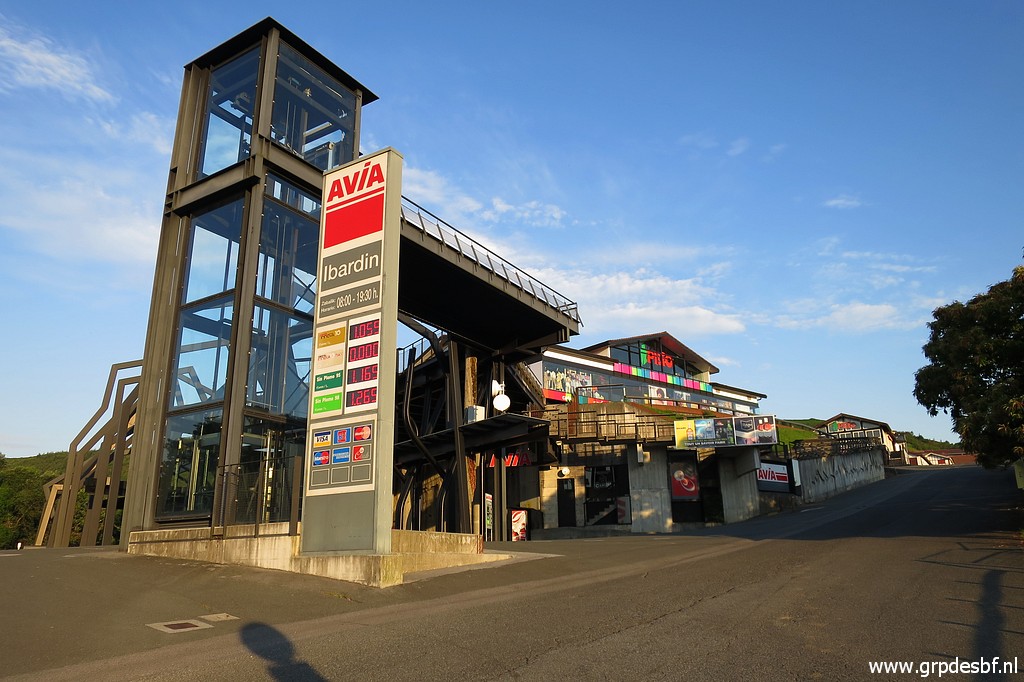 | Early start at Col d'Ibardin at 7.20. First target is the peculiar bm012. It's not placed at the ground but at the upper platform of shopping complex. Apparently lifted to that level when the shopping complex was built. The shops themselves are on Spanish territory and sell mainly cheap liquor and tobacco. (click photo to enlarge) |
 | Bm012, already visible (click photo to enlarge) |
 | Bm012 (click photo to enlarge) |
 | Bm012 (click photo to enlarge) |
 | Bm012 (click photo to enlarge) |
 | Bm012 (click photo to enlarge) |
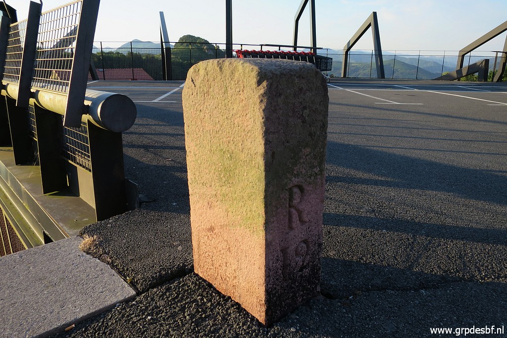 | Bm012 (click photo to enlarge) |
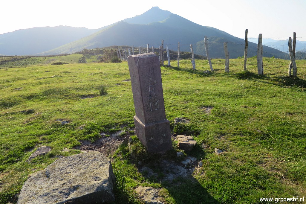
 | Bm013 is nowadays protected by a metal construction. (click photo to enlarge) |
 | Bm013 (click photo to enlarge) |
 | Bm013 (click photo to enlarge) |
 | Bm013 (click photo to enlarge) |
 | Bm013 (click photo to enlarge) |
 | Bm013 (click photo to enlarge) |
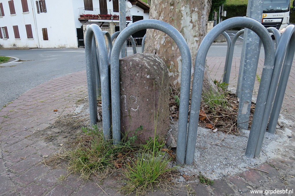 | Bm013 (click photo to enlarge) |
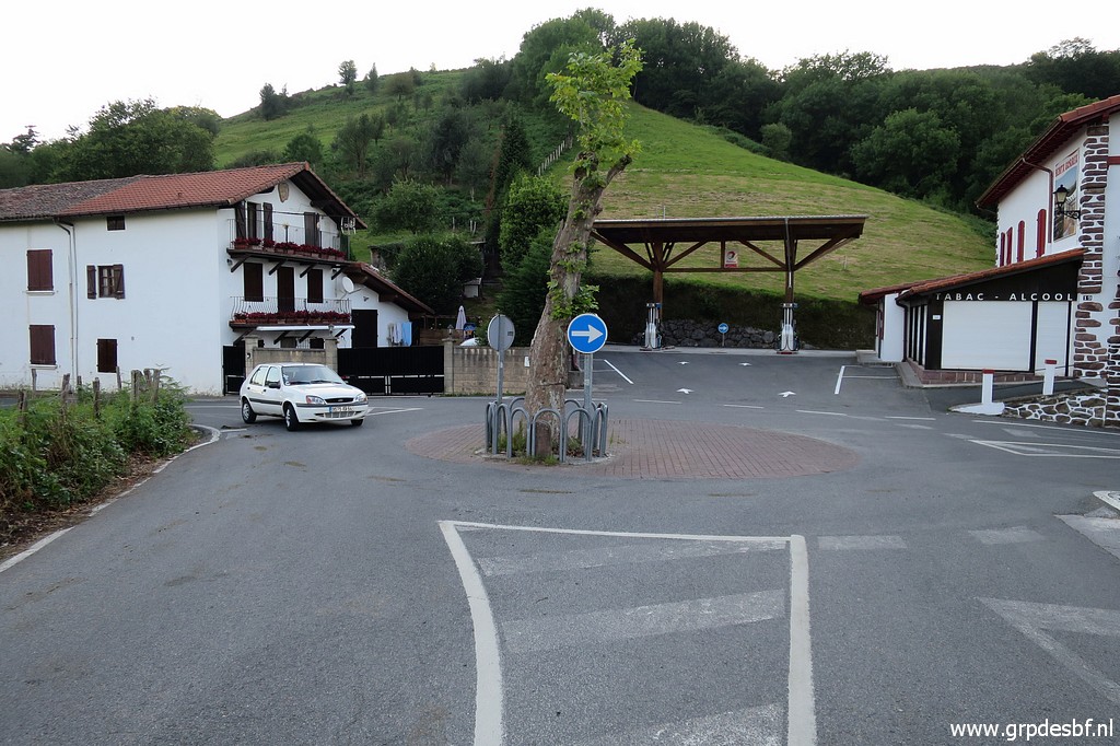
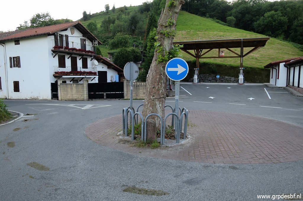
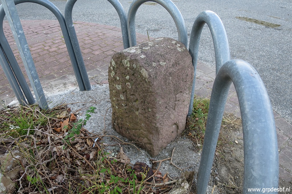
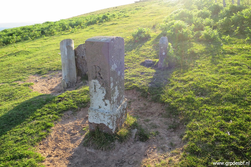
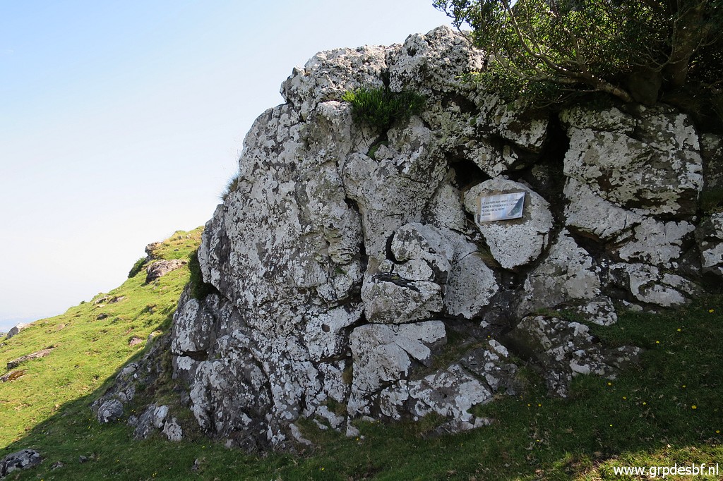
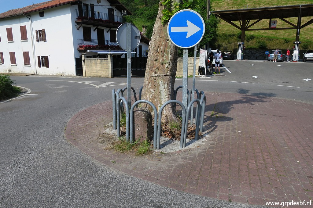
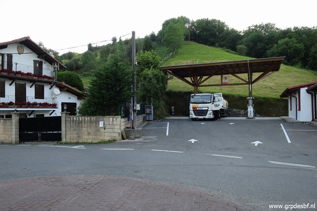 | A bit further, at this gas station, there is an unnumbered marker. (click photo to enlarge) |
 | This one with a cross on top of it. (click photo to enlarge) |
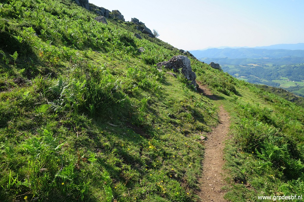
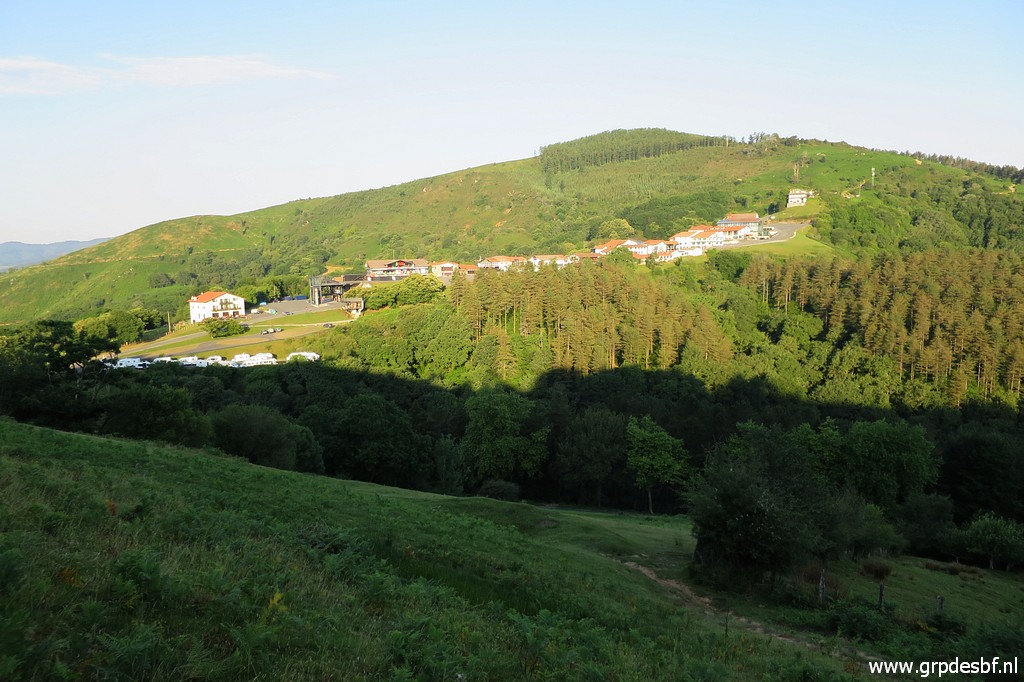 | Following the GR10-trail, I climb in a semicircle to the borderline. From this spot a view back to Col d'Ibardin (click photo to enlarge) |
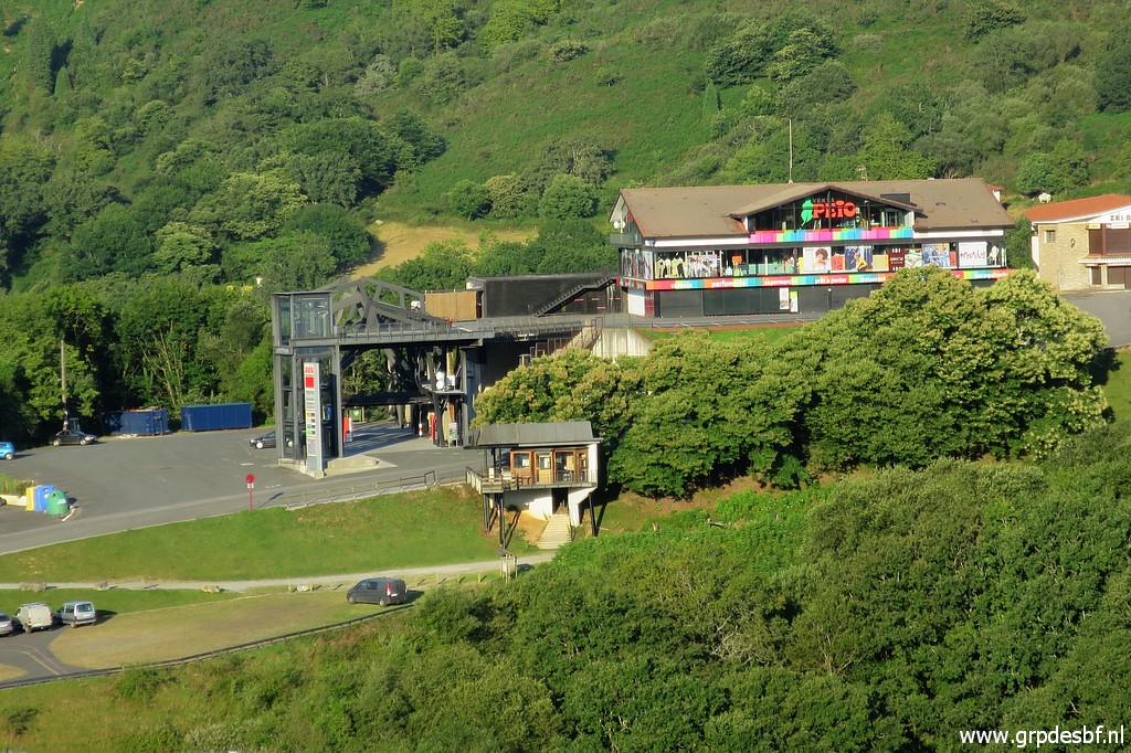 | with a zoom-in to bm012 (click photo to enlarge) |
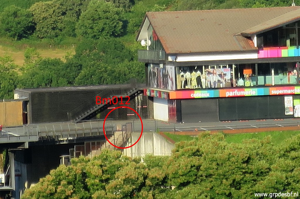 | Bm012, zoom-in. As said before, the shop is on (= above) Spanish ground. (click photo to enlarge) |
 | Bm014 is then close, I have left the GR10-trail. Note: there is also an unnumbered marker ± 50m to the west but I forgot that one. (click photo to enlarge) |
 | Bm014 (click photo to enlarge) |
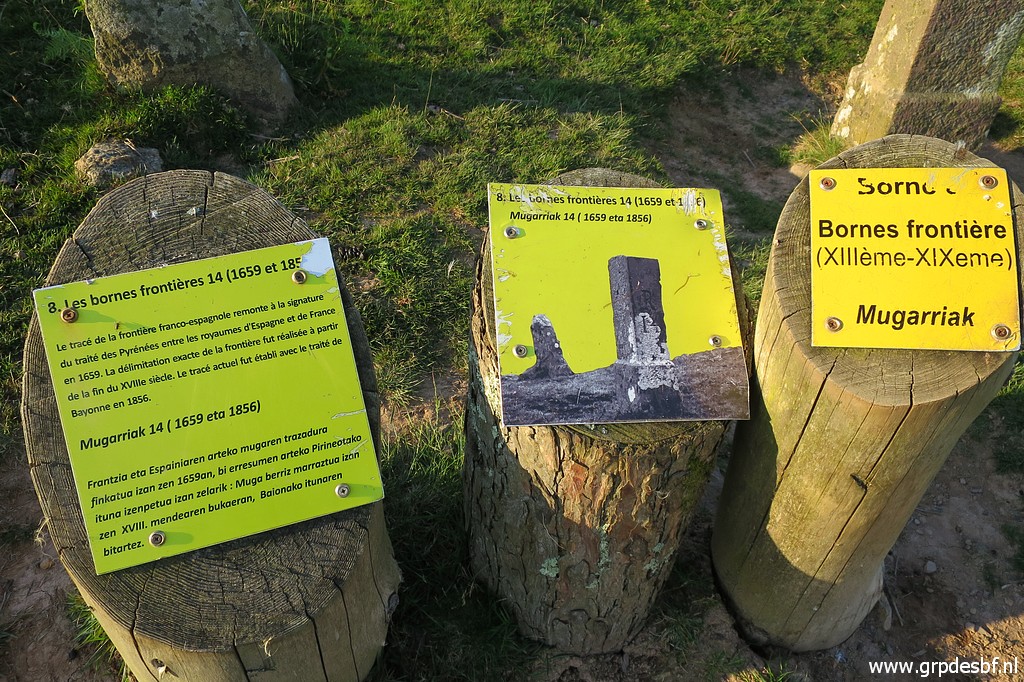 | Bm014, information panels besides it. (click photo to enlarge) |
 | An unnumbered marker besides bm014. Note the cross on top of it. (click photo to enlarge) |
 | Another unnumbered marker further on with (click photo to enlarge) |
 | a cross on top of it. (click photo to enlarge) |
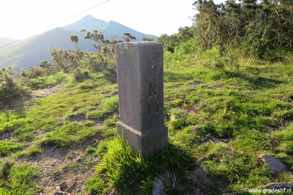
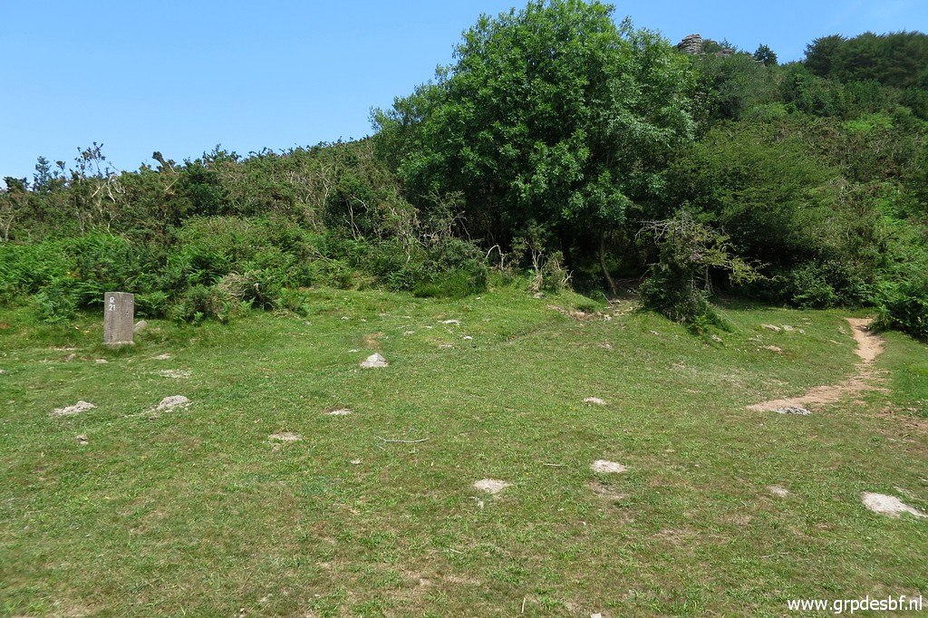
 | Following the hillridge along the fence, bm015 is the next one. (click photo to enlarge) |
 | Bm015 (click photo to enlarge) |
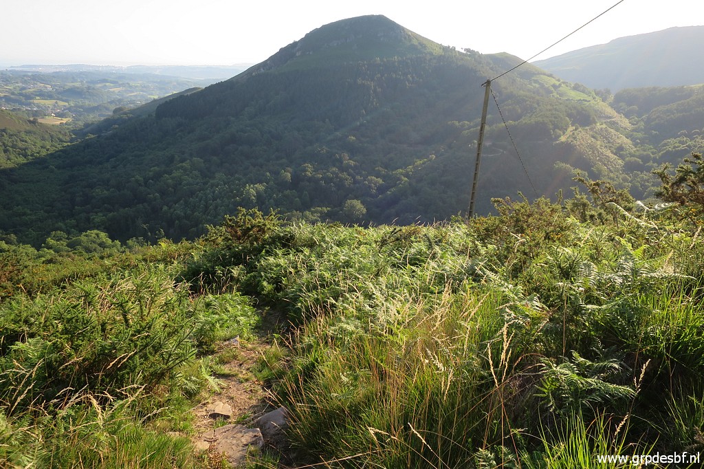
 | In the distance is bm016 already visible. The hilltop in the far distance is La Rhune. (click photo to enlarge) |
 | Bm016, zoom-in (click photo to enlarge) |
 | Bm016 (click photo to enlarge) |
 | Bm016 (click photo to enlarge) |
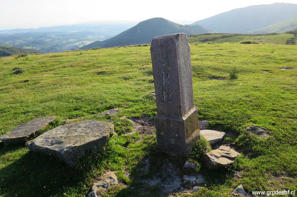
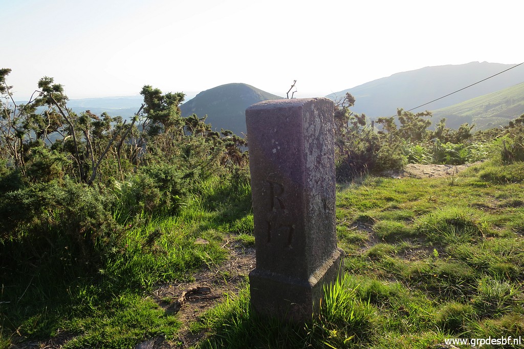 | At the end of the hillridge stands bm017. (click photo to enlarge) |
 | Bm017 (click photo to enlarge) |
 | Beyond bm017, a trail starts which descends, crossing the electricity cables underneath several times and (click photo to enlarge) |
 | finally arriving at a tarmac road. (click photo to enlarge) |
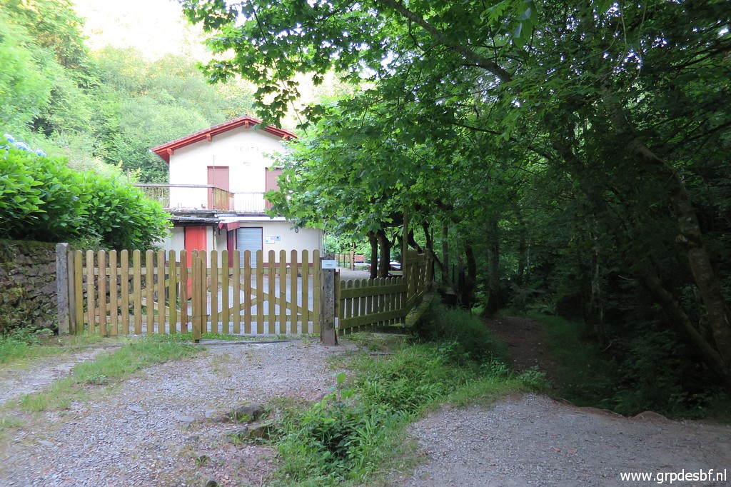 | At the bottom of the valley, go to the left towards this building. It used to be a venta. A trail continues between building and (click photo to enlarge) |
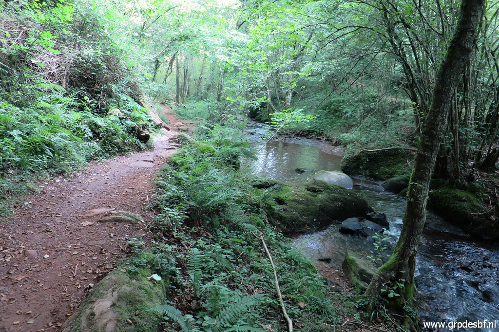 | stream. (click photo to enlarge) |
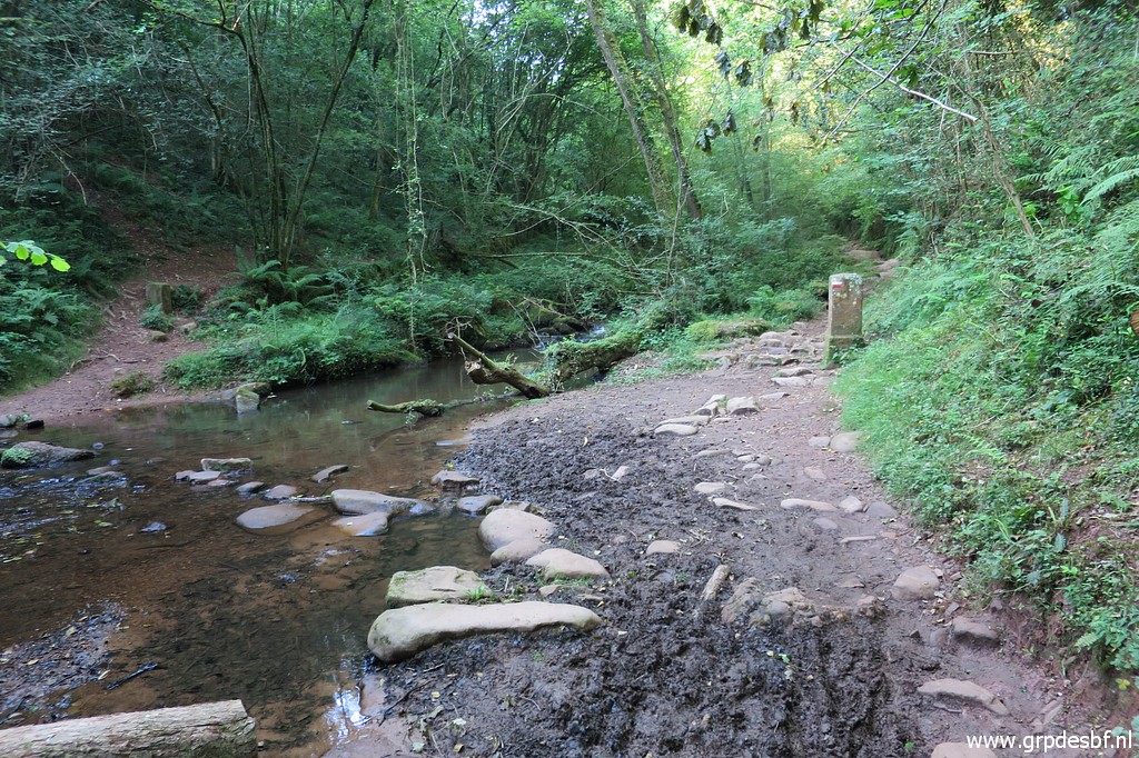
 | and arrives at bm018. (click photo to enlarge) |
 | Bm018, looking back. (click photo to enlarge) |
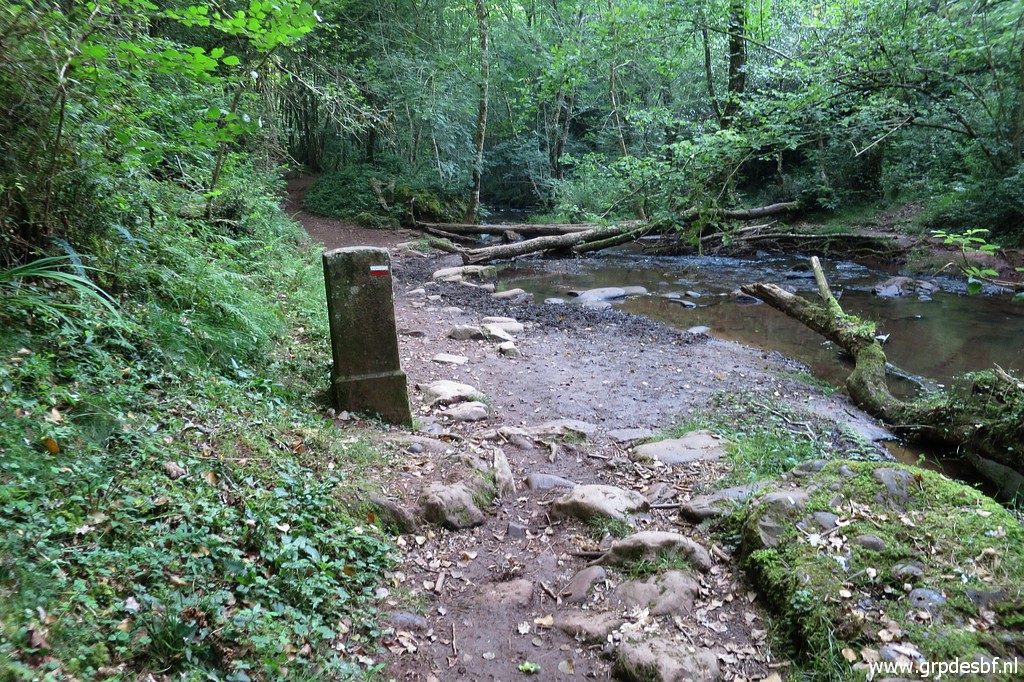
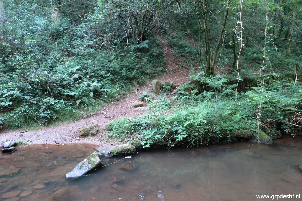
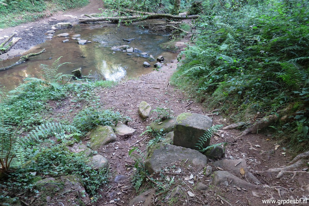
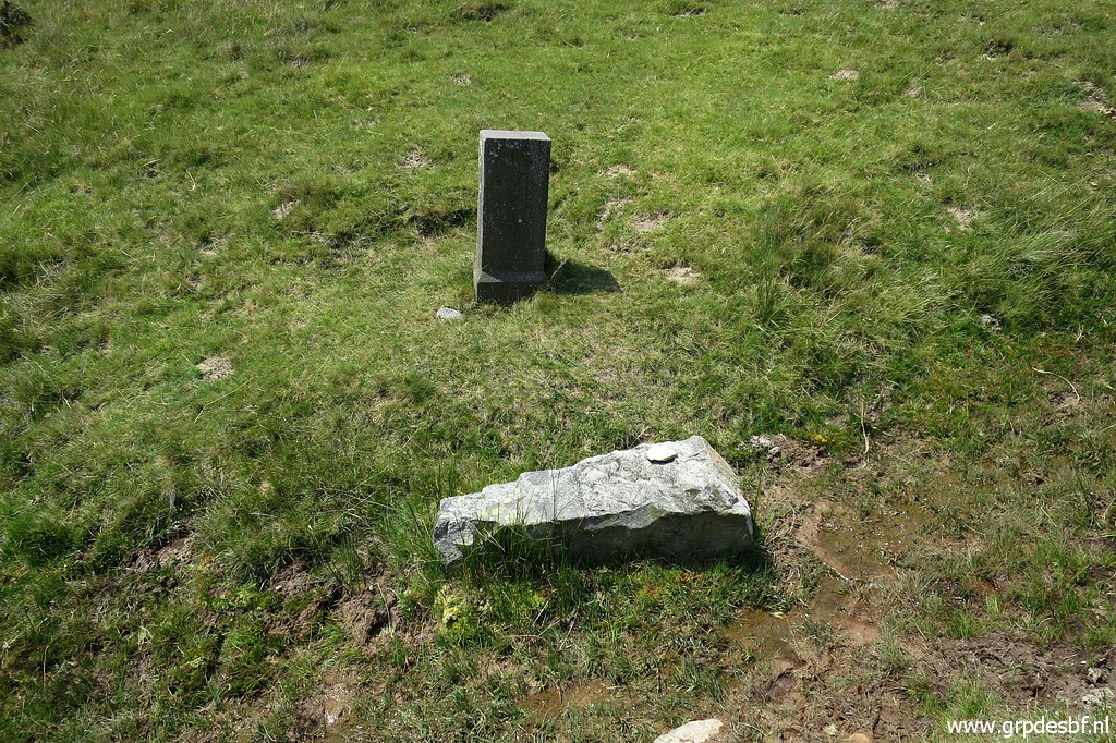
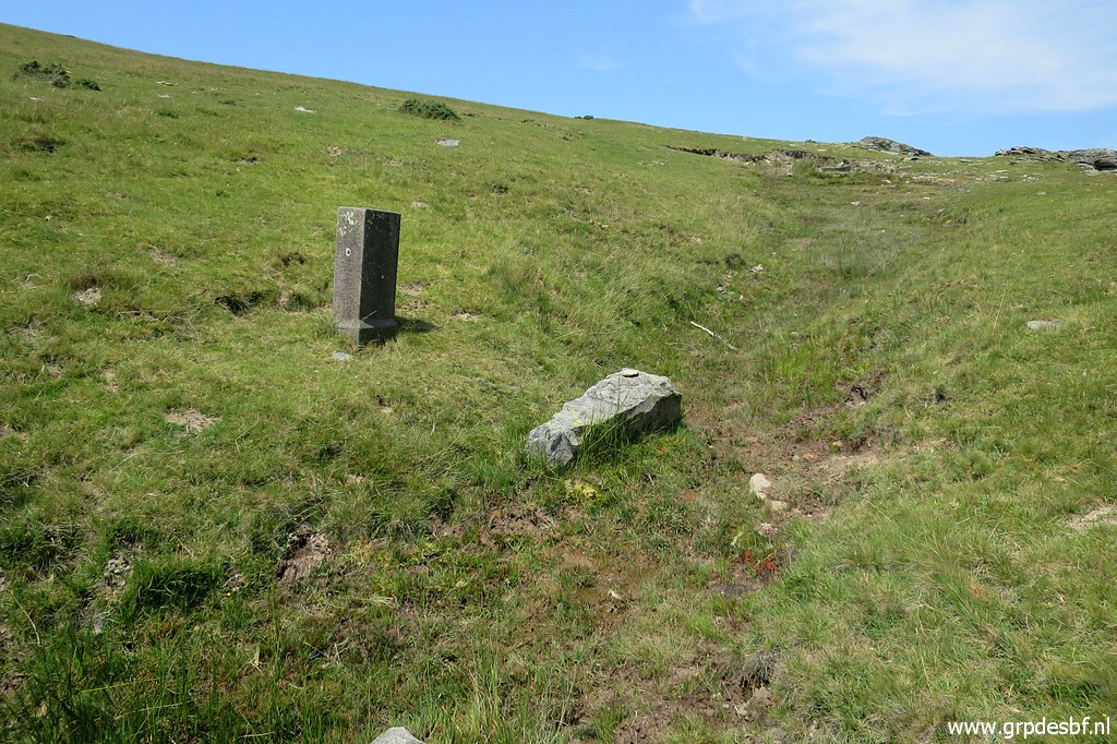
 | The border crosses at this point the stream. Bm019 is visible at the other side. (click photo to enlarge) |
 | Zoom-in to bm019. (click photo to enlarge) |
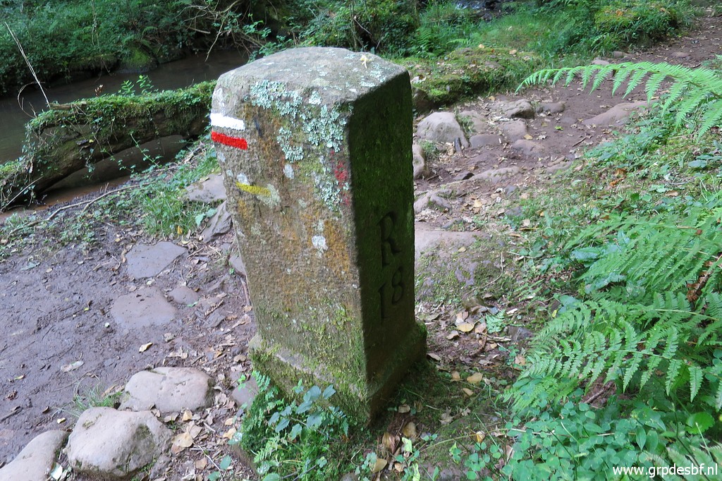 | Bm018 (click photo to enlarge) |
 | Bm019 (click photo to enlarge) |
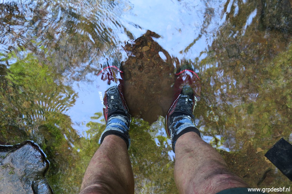 | In
trailrun-style I cross the river, just stepping through the water. That
is no problem, the shoes and socks dry fast afterwards. (click photo to enlarge) |
 | Bm019 (click photo to enlarge) |
 | Bm019 (click photo to enlarge) |
 | Bm019 (click photo to enlarge) |
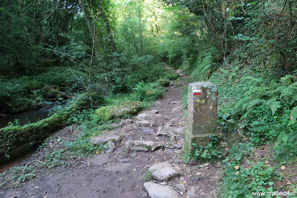
 | At this side of the stream, I walk back until this footbridge. (click photo to enlarge) |
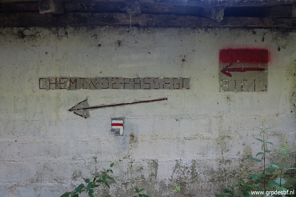 | At the small building, I learn that the next trail uphill is part of a GR: the Chemin de passage. Back over the bridge and climbing along the waymarked trail uphill. (click photo to enlarge) |
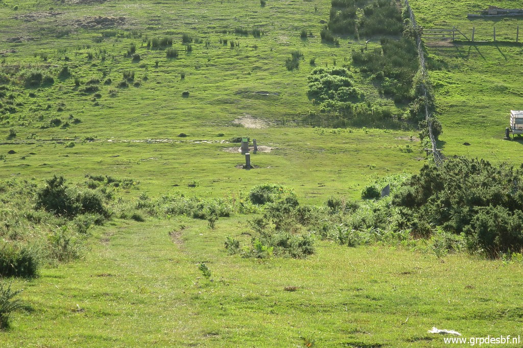
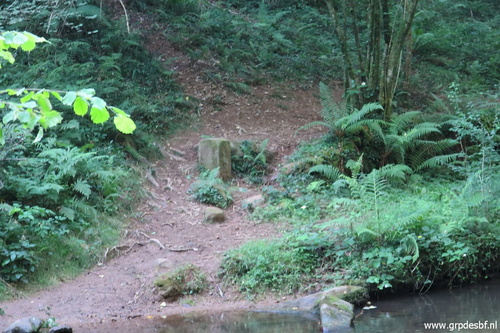
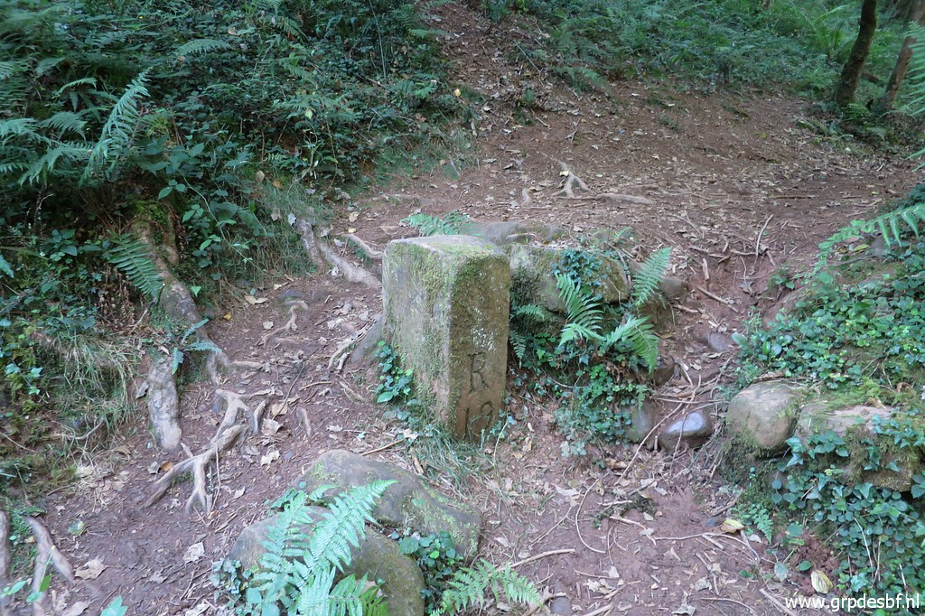
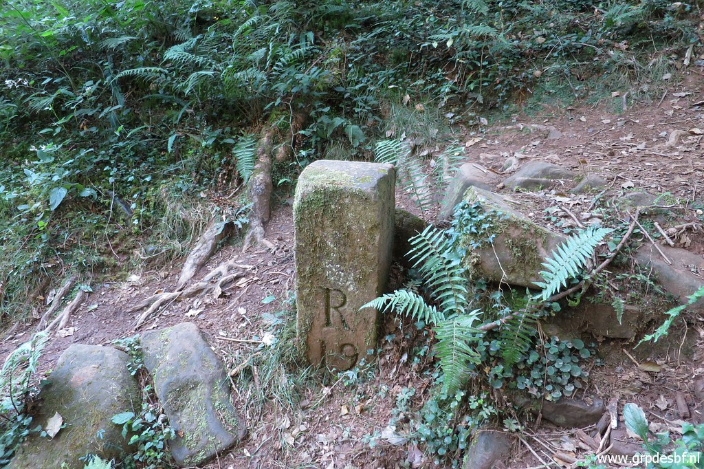
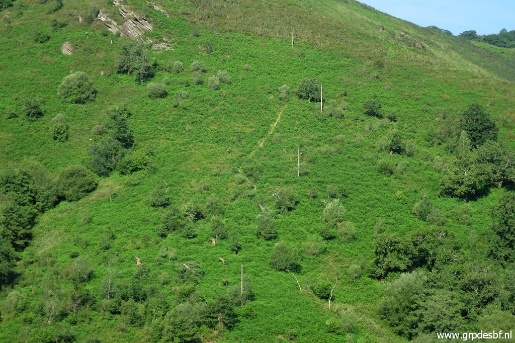
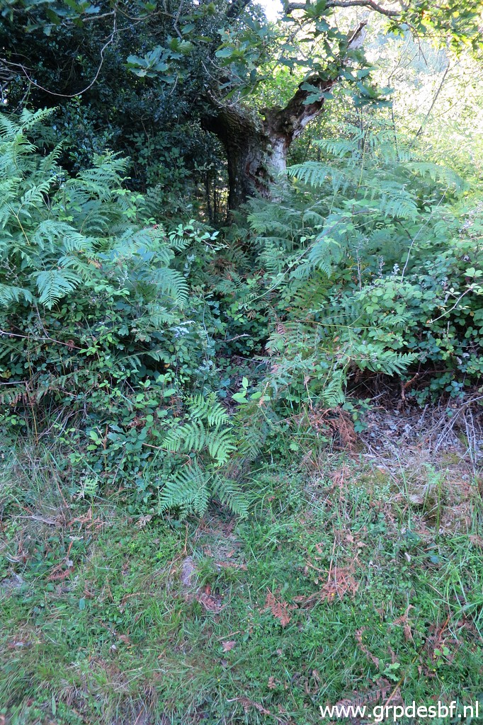
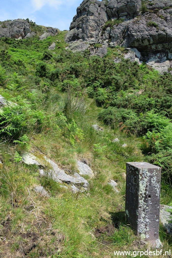
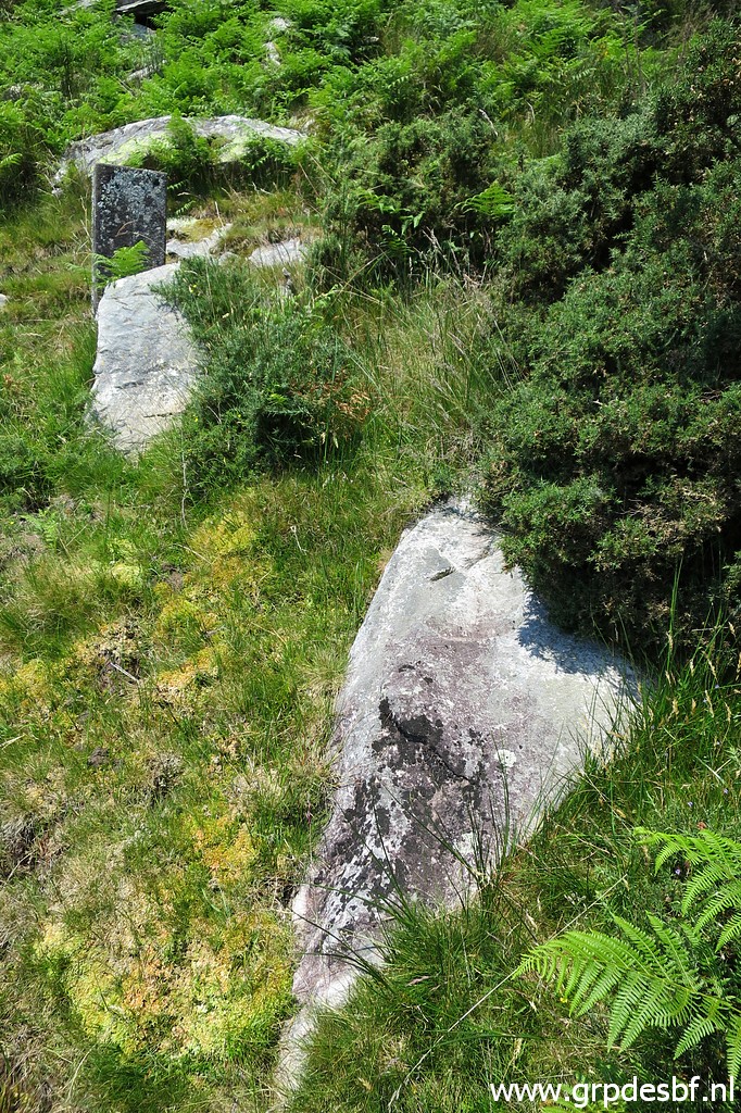
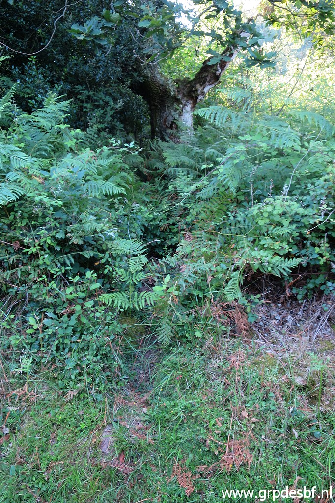 | Bm020 is not along that trail but higher up on the hillside. The fern has taken over the hillside and bm020 is not visible. I have to rely on my gps and at this point (with the tree) I enter the fern, climbing uphill. (click photo to enlarge) |
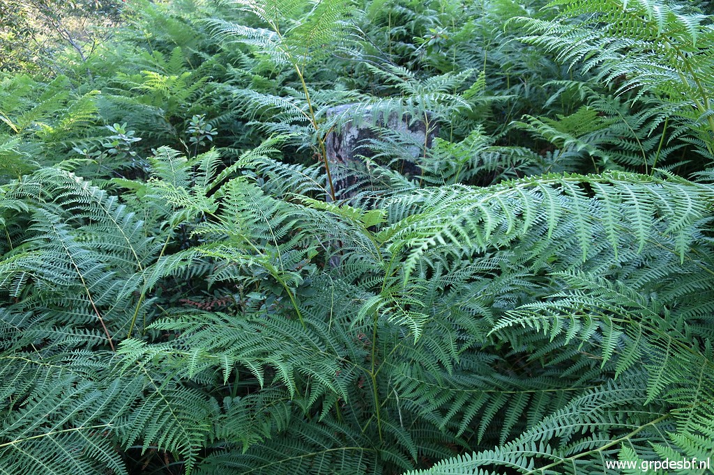 | Without a gps, bm020 will be very hard to find between the fern (in this season). But I find it, you can spot it between the leaves. (click photo to enlarge) |
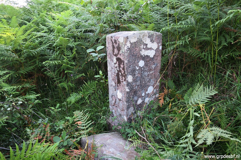 | Bm020, the fern around being cleared. (click photo to enlarge) |
 | Bm020 (click photo to enlarge) |
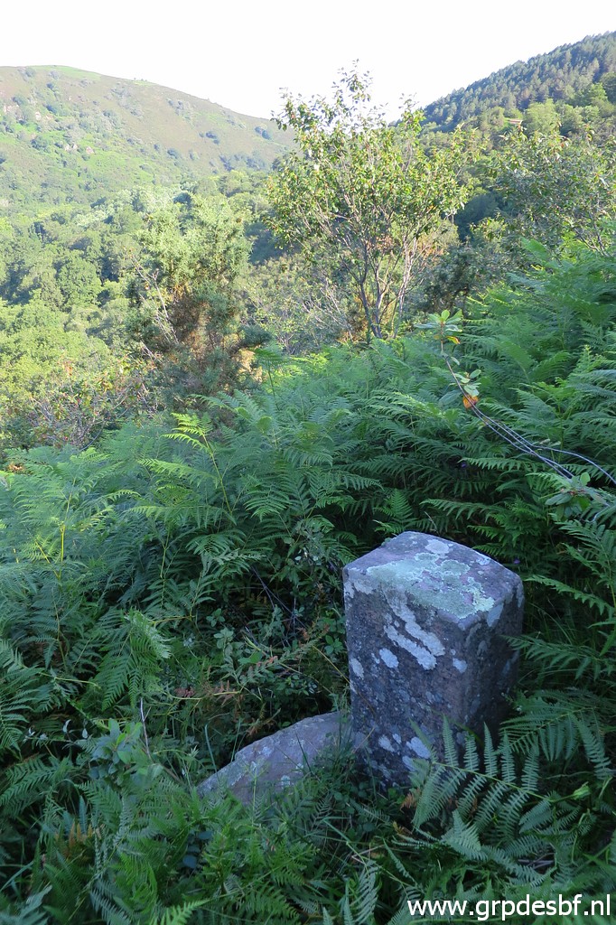
 | Bm020 with a view back to the hillside where I descended from bm017. (click photo to enlarge) |
 | Zoom-in (click photo to enlarge) |
 | Further zooming-in to the electricity cables and the trail. (click photo to enlarge) |
 | I descend back trough the fern to the trail. This picture: back at the trail with the tree where you can enter the fern. A day later, I hear from Carlos & Conchita that they also visited bm020 today. Being later, they could use my small trail through the fern without knowing it was me who made it. (click photo to enlarge) |
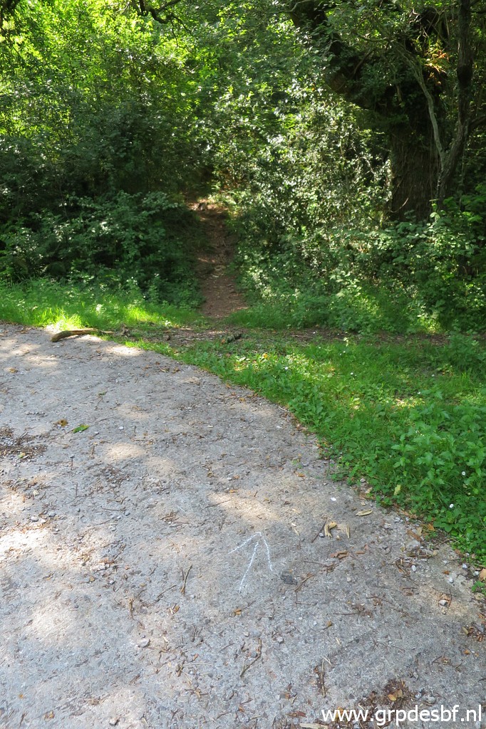
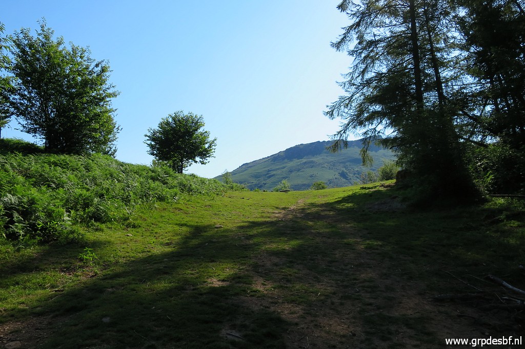 | The red-white trail brings me to this pass (Deskagarko Lepeo). (click photo to enlarge) |
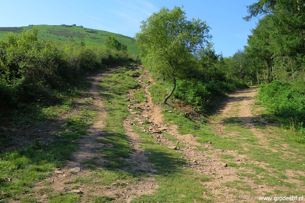 | From there I head south on the left dirtroad/trail which (click photo to enlarge) |
 | climbs to bm021. (click photo to enlarge) |
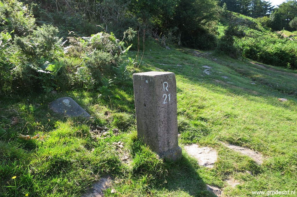 | Bm021 (click photo to enlarge) |
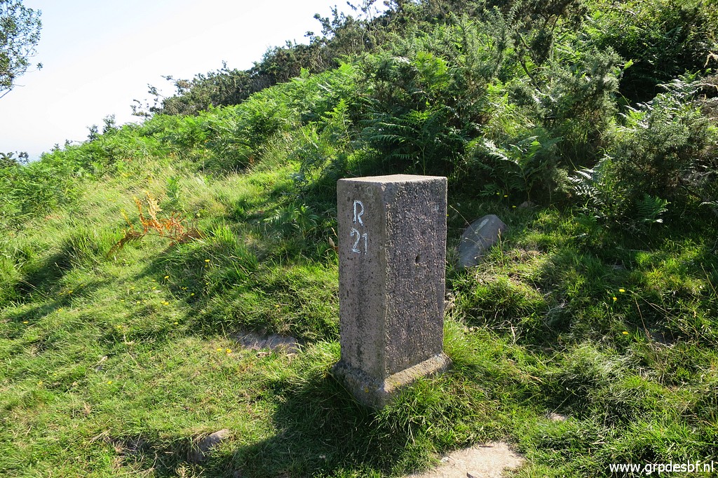 | Bm021 (click photo to enlarge) |
 | Bm021, looking west. (click photo to enlarge) |
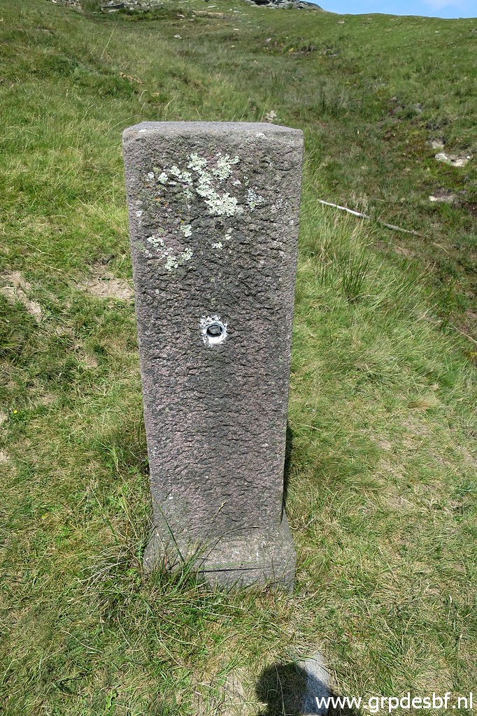
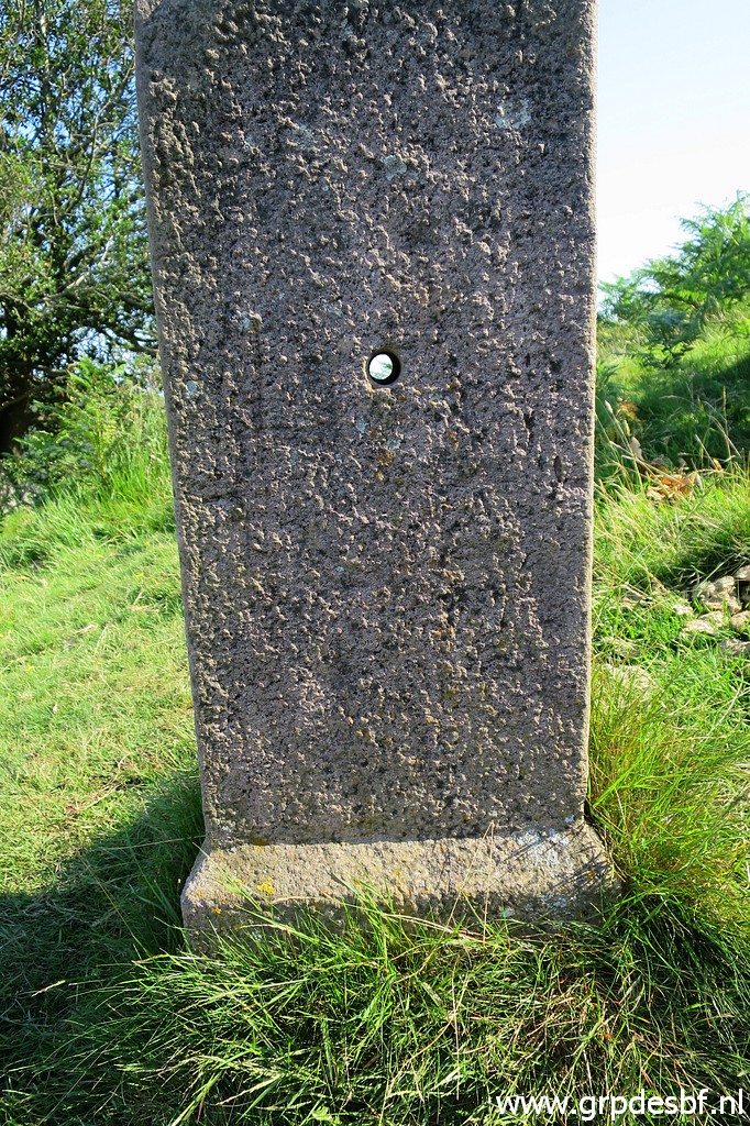 | Bm021. The hole was made to facilitate the handling of the bordermarker when it was placed. (click photo to enlarge) |
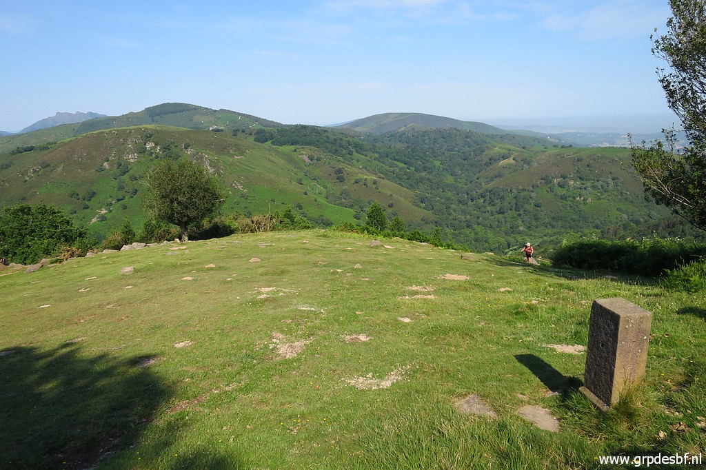
 | From bm021, a trail starts climbing west with soon this watercontainer. Useful when you are thirsty. (click photo to enlarge) |
 | At this point, take the left trail. The climb to the hillridge is tough. (click photo to enlarge) |
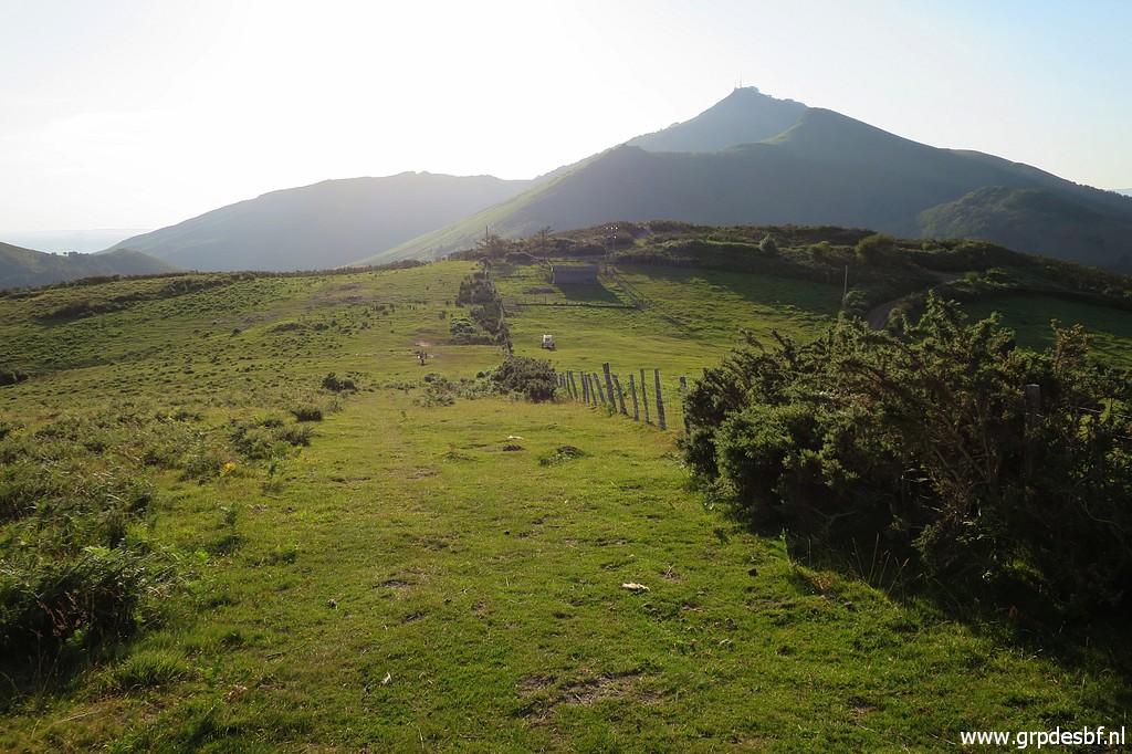
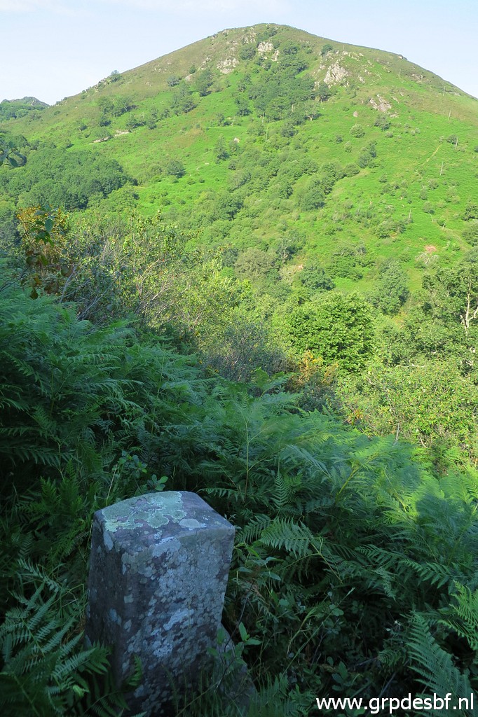
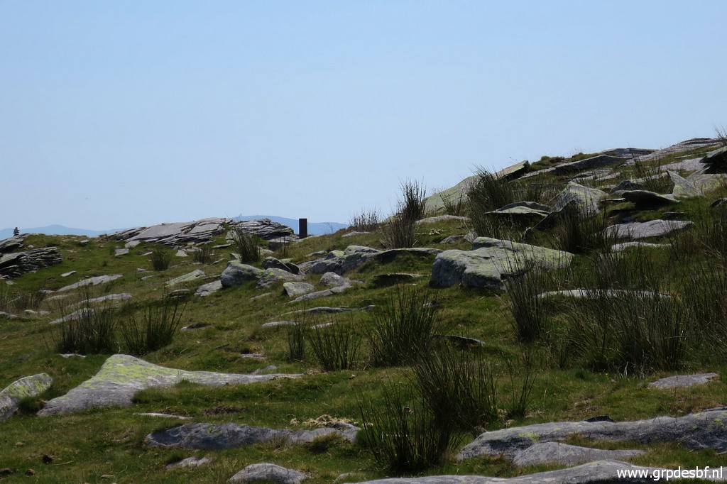
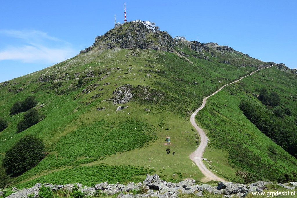
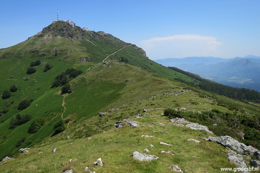
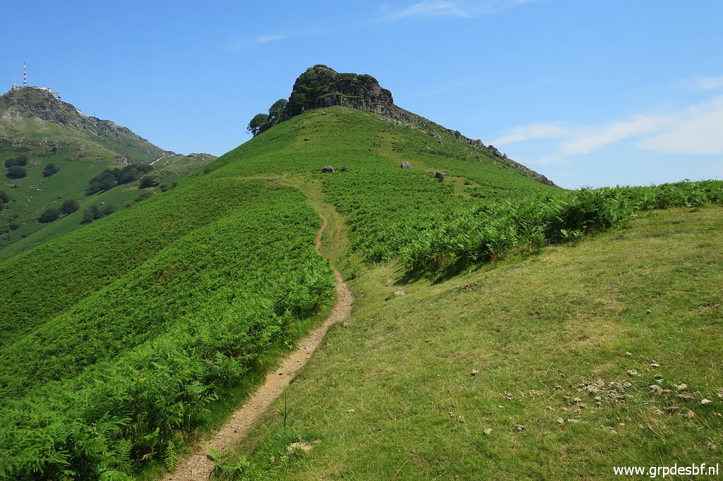
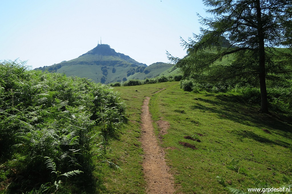 | Arriving at the hillridge, La Rhune is the background. (click photo to enlarge) |
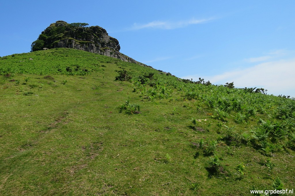
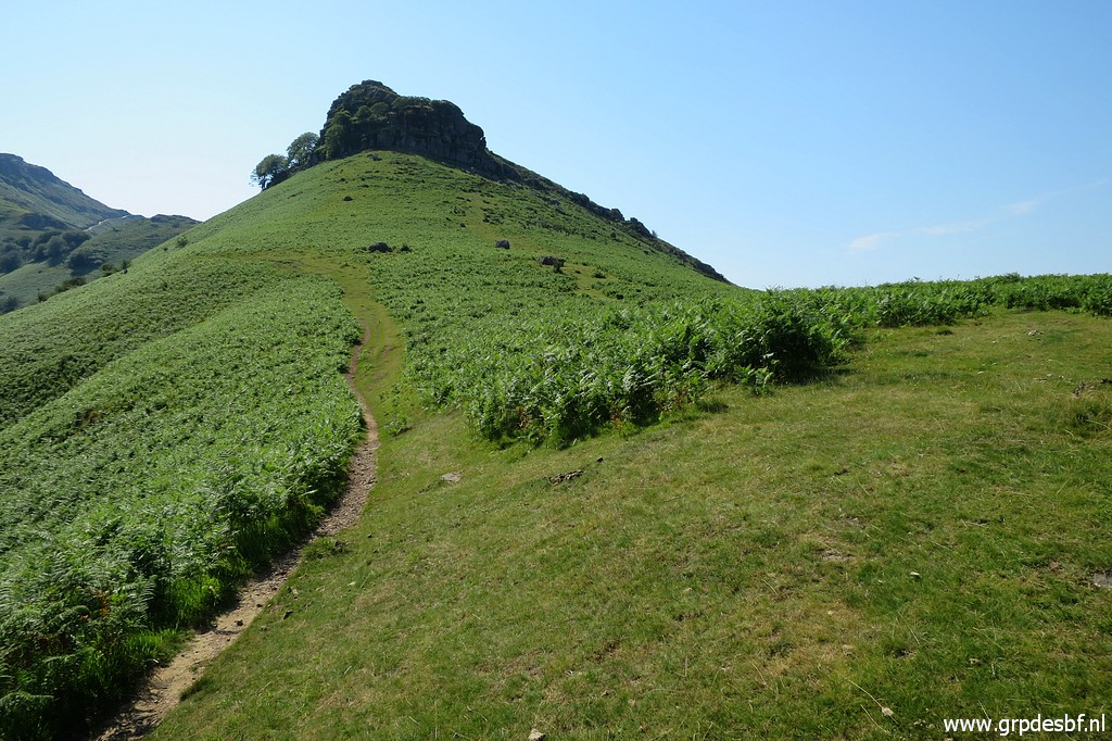 | A bit further, at this point, there is a bifurcation. The distinct trail continues left underneath the hilltop which is La petite Rhune (with a very large cairn at top of it). The green corridor to the right - which I take - leads me (click photo to enlarge) |
 | underneath La petite Rhune at its right side. It would have been better to climb from this spot to La Petite Rhune and continue on the hillridge. (click photo to enlarge) |
 | But I follow the trail along the hillside (click photo to enlarge) |
 | which descendsto a tarmac road, visible in the background. Nothing wrong with that but for bm022 you have to climb back to the hillridge. And that is just over a 100m detour and that would mean a variant in my GRPdesBF-trail to cover bm022. So it is more practical to climb directly to La Petite Rhune and continue on the hillridge to bm022. (click photo to enlarge) |
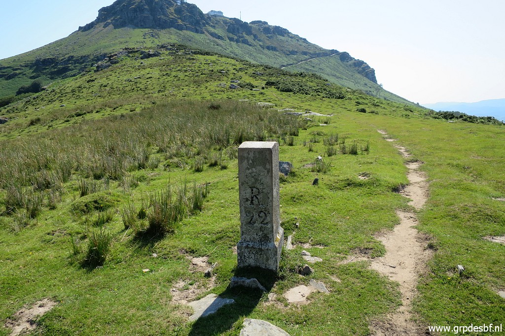 | Anyway, I have to climb to the hillridge to bm022. (click photo to enlarge) |
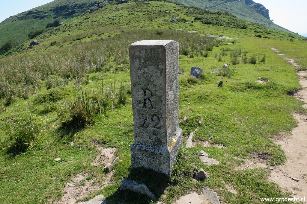 | Bm022 (click photo to enlarge) |
 | Bm022 (click photo to enlarge) |
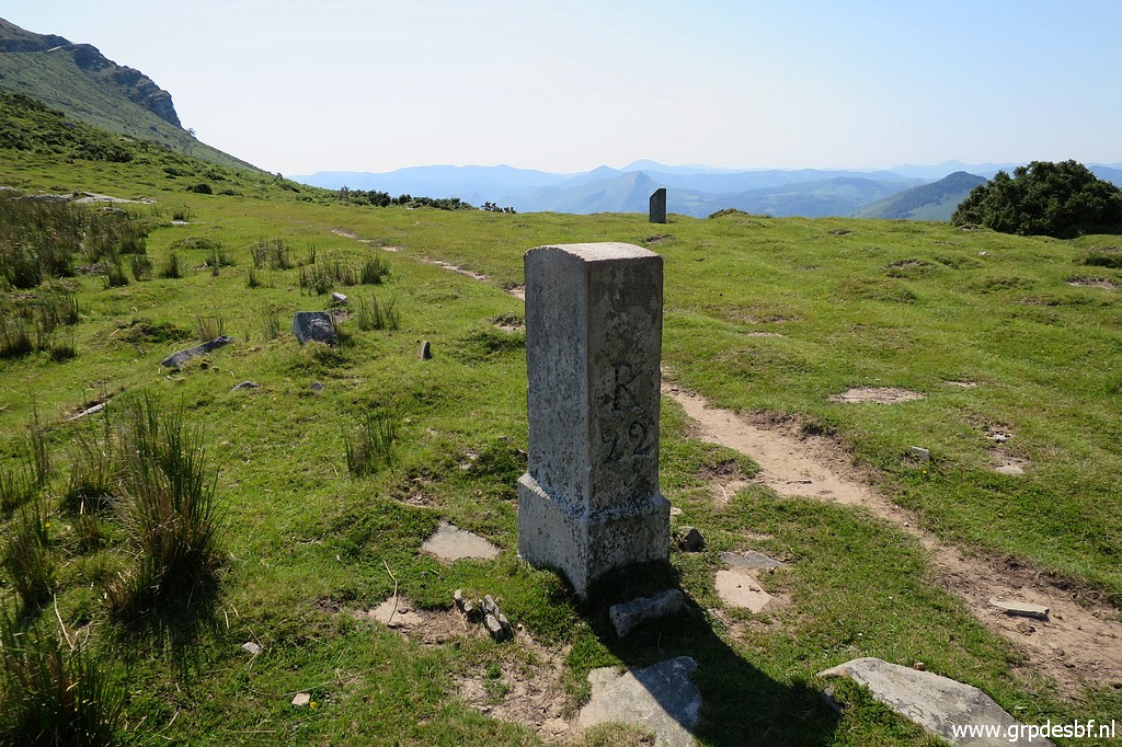
 | Bm022, La Rhune in the background. (click photo to enlarge) |
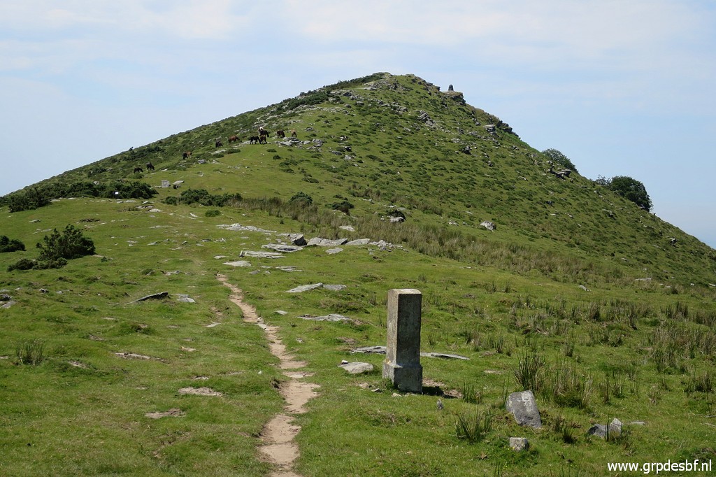
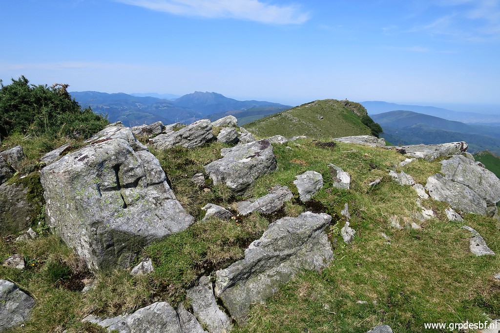 | From bm022 I continue on the hillridge along - further on a hilltop - this unnumbered cross. (click photo to enlarge) |
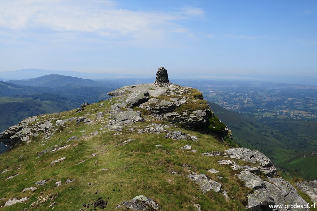
 | I look back to the large cairn at La Petite Rhune. (click photo to enlarge) |
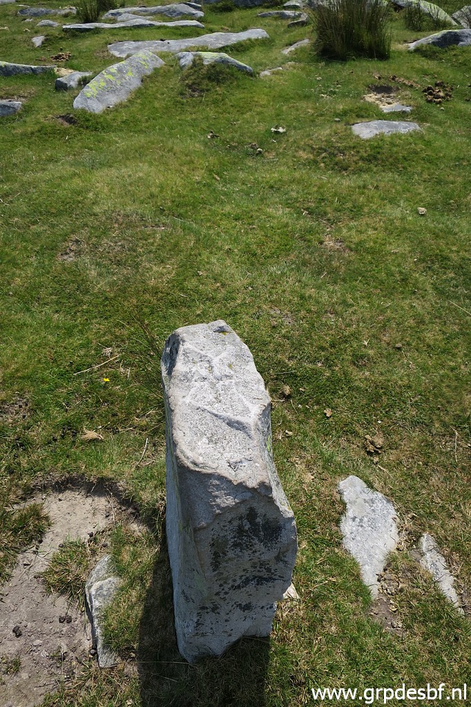
 | Then descending to bm023. (click photo to enlarge) |
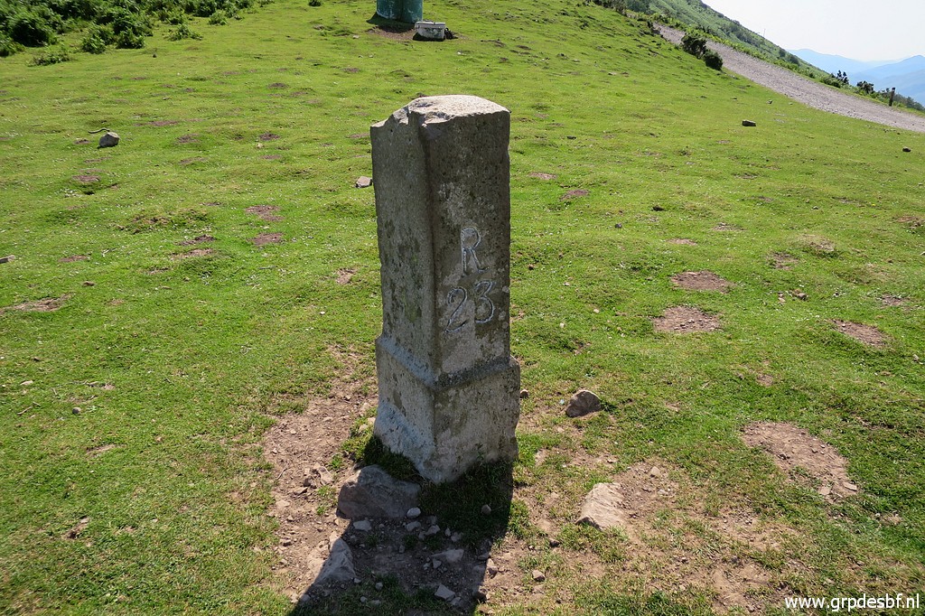 | Bm023 (click photo to enlarge) |
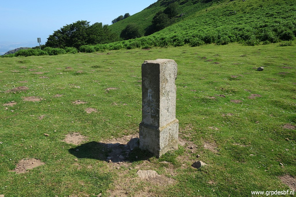 | Bm023 (click photo to enlarge) |
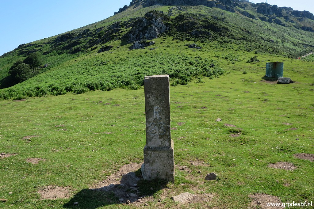 | Bm023 (click photo to enlarge) |
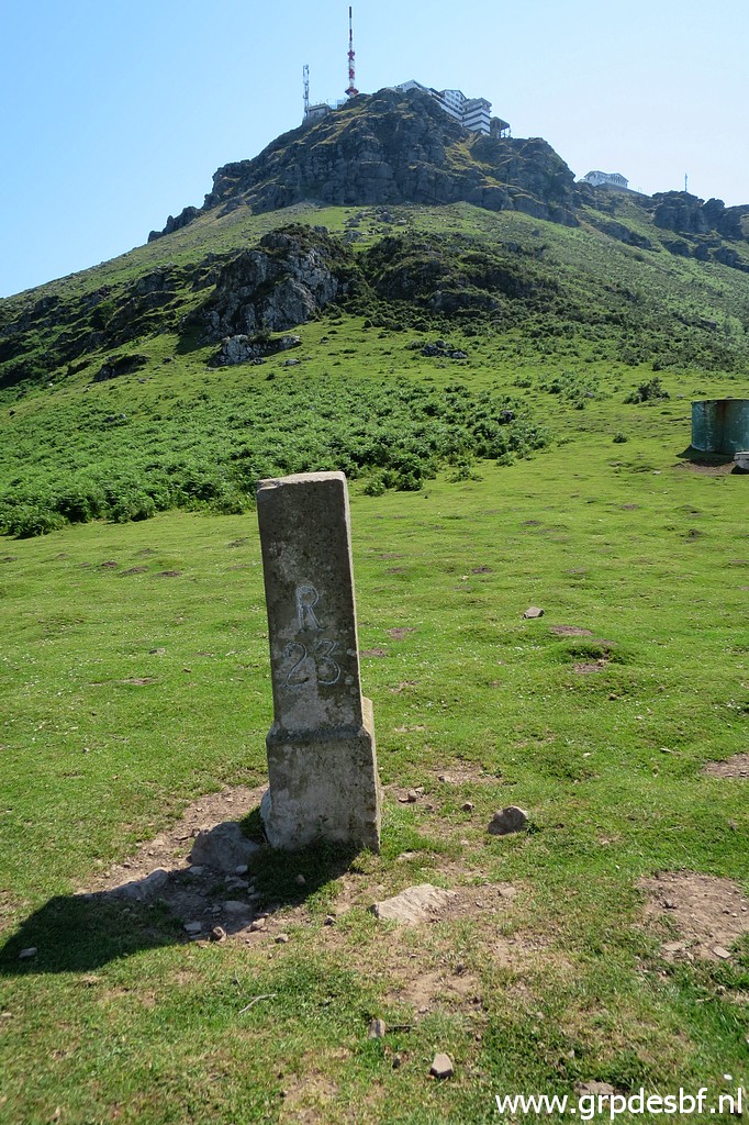 | Bm023 (click photo to enlarge) |
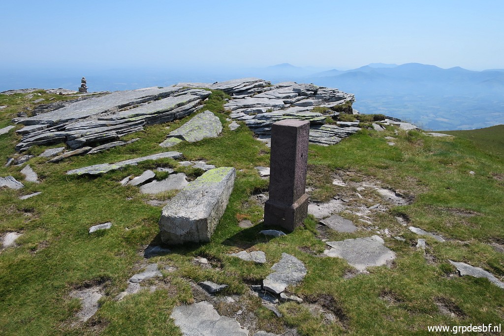
 | Further on I have to climb the hilltop of La Rhune to get to bm024. In between this little plaque. (click photo to enlarge) |
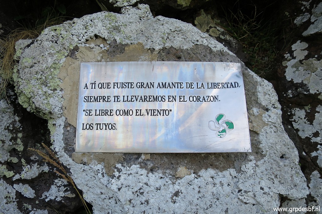 | It says: "be free as the wind". (click photo to enlarge) |
 | Higher on (click photo to enlarge) |
 | bm024 is visible. (click photo to enlarge) |
 | Bm024 (click photo to enlarge) |
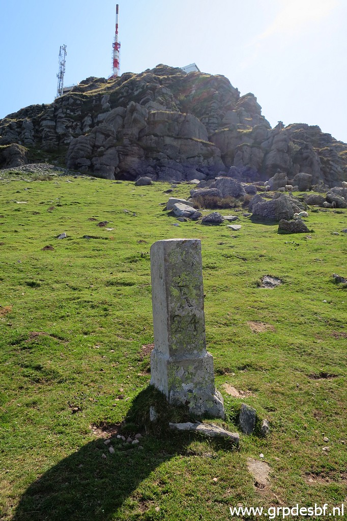 | Bm024 (click photo to enlarge) |
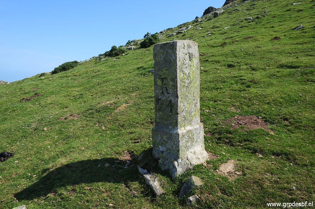 | Bm024 (click photo to enlarge) |
 | Bm024 (click photo to enlarge) |
 | Bm024, looking back. (click photo to enlarge) |
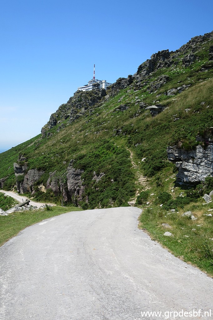
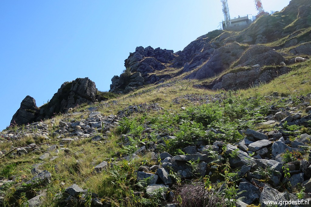 | Then I circle left around La Rhune towards the small train station. That's quite tough. Wouldn't it be better (= easier) to - from bm024 - circle right to the tarmac road which climbs to La Rhune? Looking at Google Earth, I don't think so. Or would a direct climb to La Rhune be possible? At this picture, there seems an access uphill. But no sign of a trail whatsoever and one would expect so on this highly frequented spot if a direct climb was possible. (click photo to enlarge) |
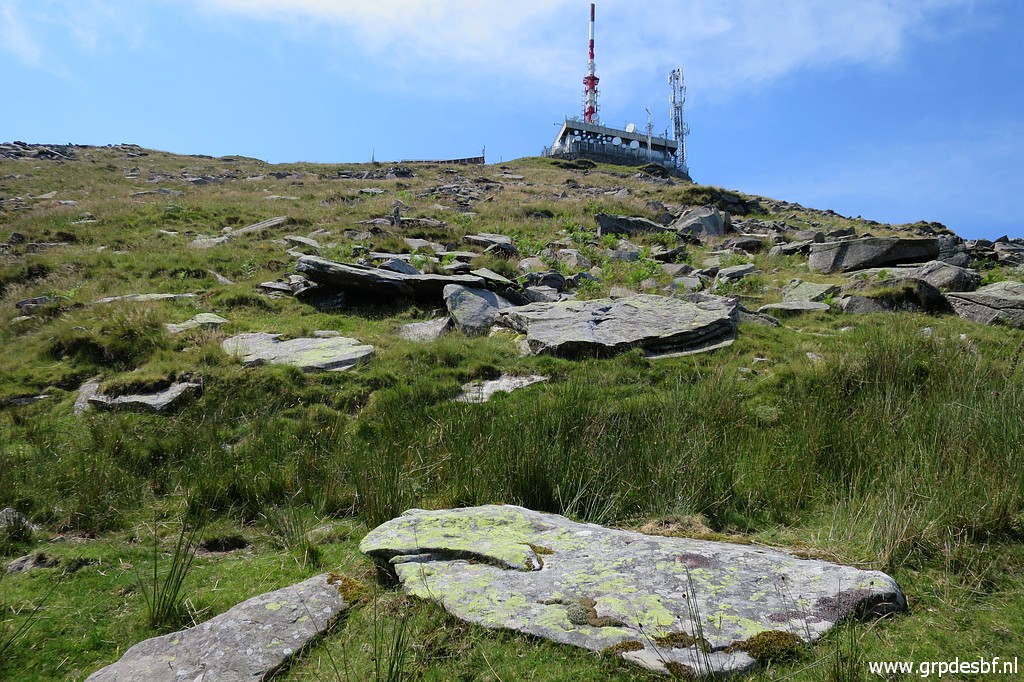 | I am now at the north side of La Rhune and (click photo to enlarge) |
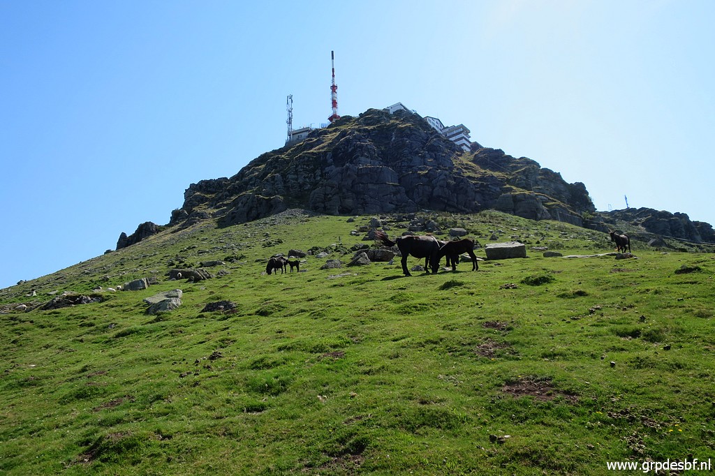
 | climb to the train station and to La Rhune itself From there I proceed west to do the remaining markers 025-028. (click photo to enlarge) |
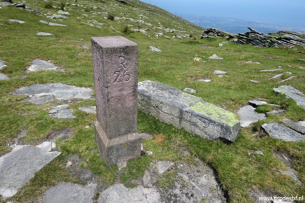
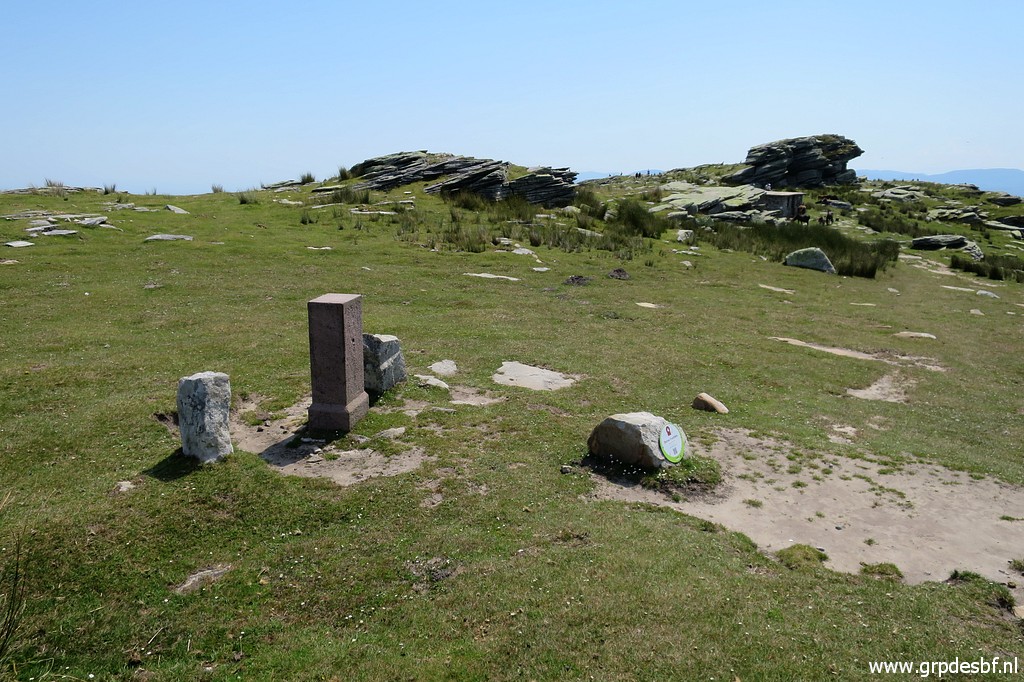 | Bm025 (click photo to enlarge) |
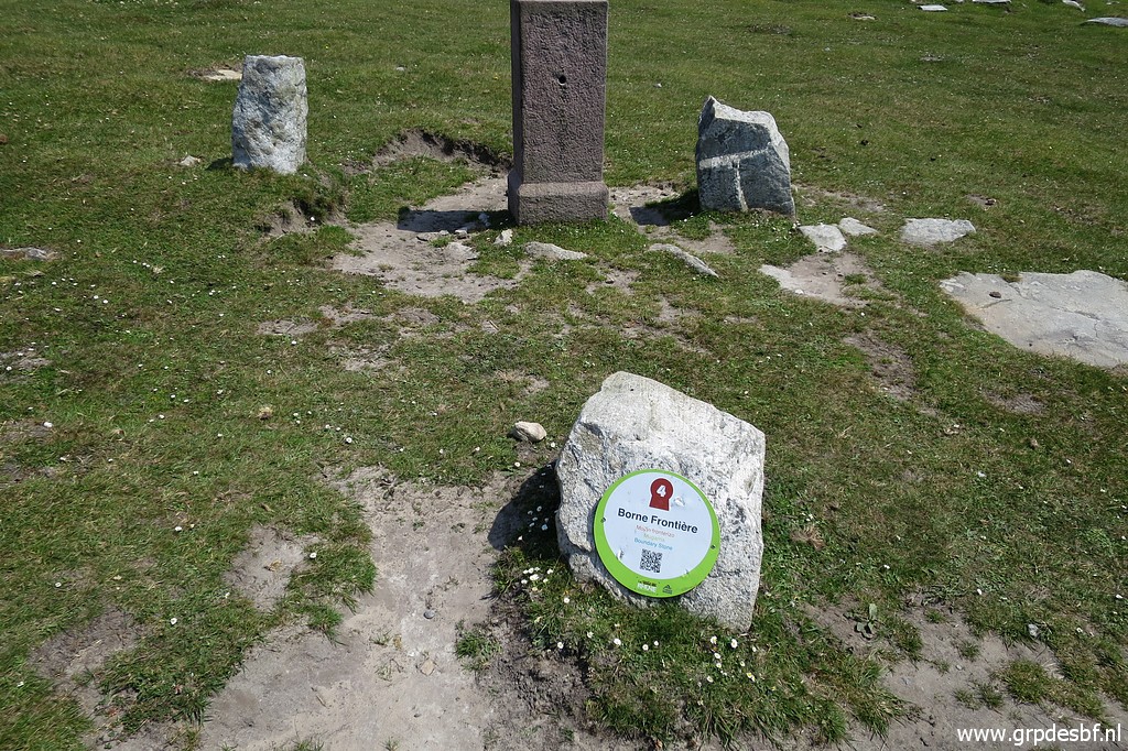 | Bm025, with a information panel. (click photo to enlarge) |
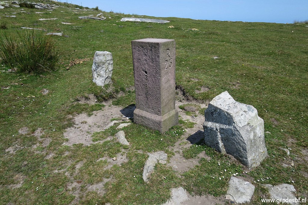 | Bm025, besides it is the foot of the old marker. (click photo to enlarge) |
 | Bm025 (click photo to enlarge) |
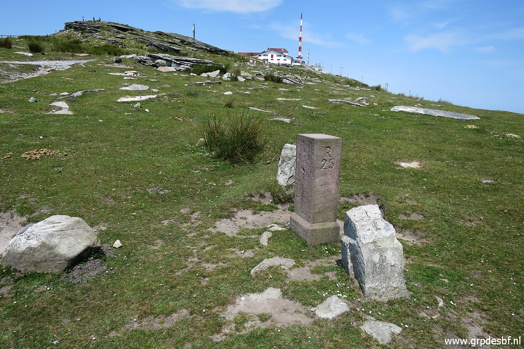 | Bm025, looking back to La Rhune. (click photo to enlarge) |
 | Bm025, the old foot in close-up. I guess that these old markers were destroyed by Basque nationalists. (click photo to enlarge) |
 | Besides bm025, this unnumbered marker. (click photo to enlarge) |
 | Towards bm026, another unnumbered marker. You can already spot bm026 in the distance. (click photo to enlarge) |
 | Zoom-in to bm026 (click photo to enlarge) |
 | A cross at the top of this unnumbered marker. (click photo to enlarge) |
 | Bm026 (click photo to enlarge) |
 | Bm026, La Rhune in the background. (click photo to enlarge) |
 | Bm026 (click photo to enlarge) |
 | Bm026, at its foot the old marker. (click photo to enlarge) |
 | Funny: at the hillside to the S there are (click photo to enlarge) |
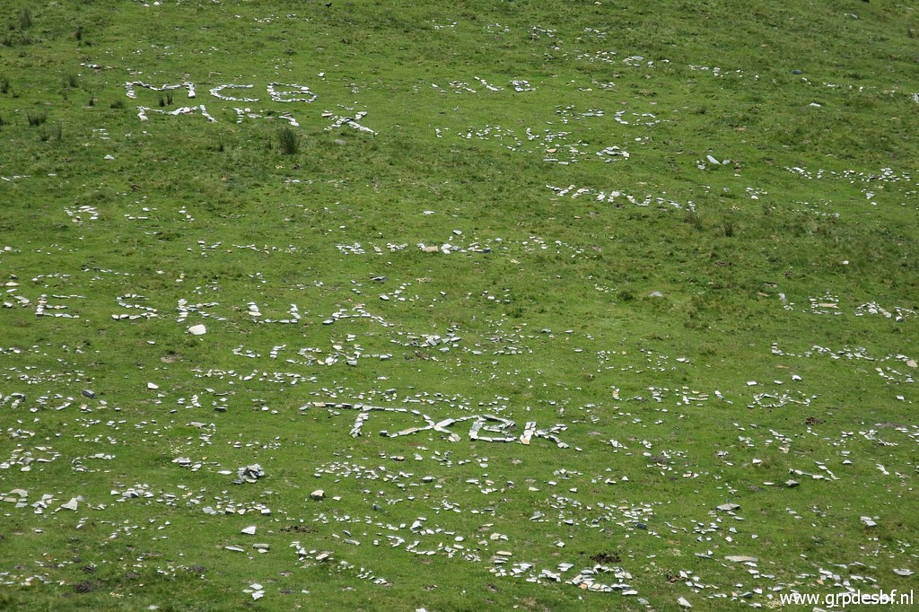 | words and phrases formed with white stones. (click photo to enlarge) |
 | Bm026, looking back to la Rhune (click photo to enlarge) |
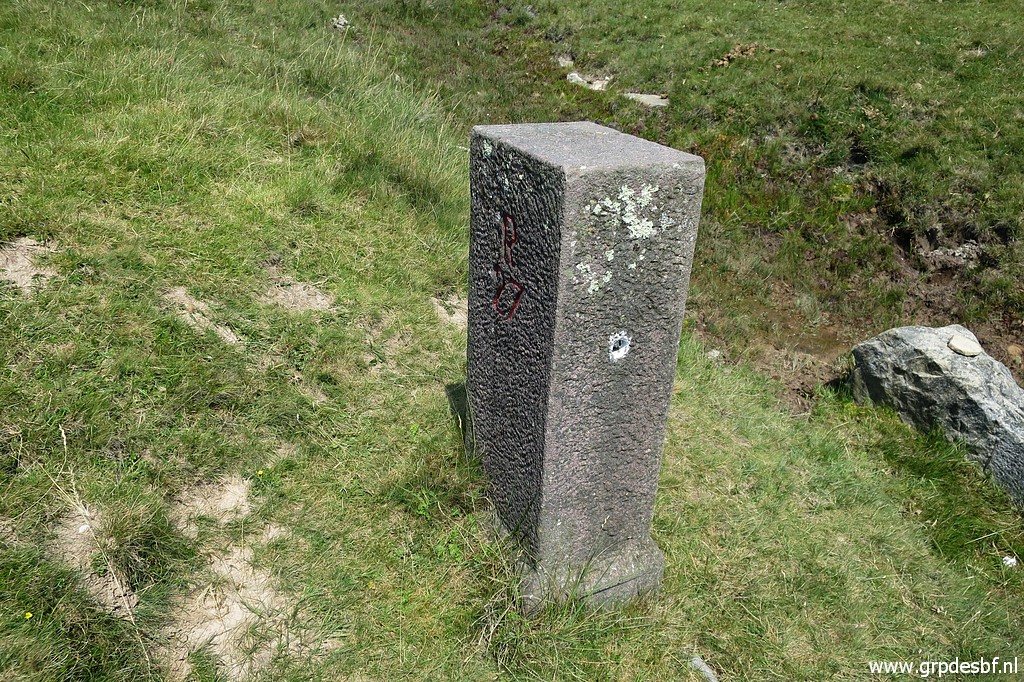
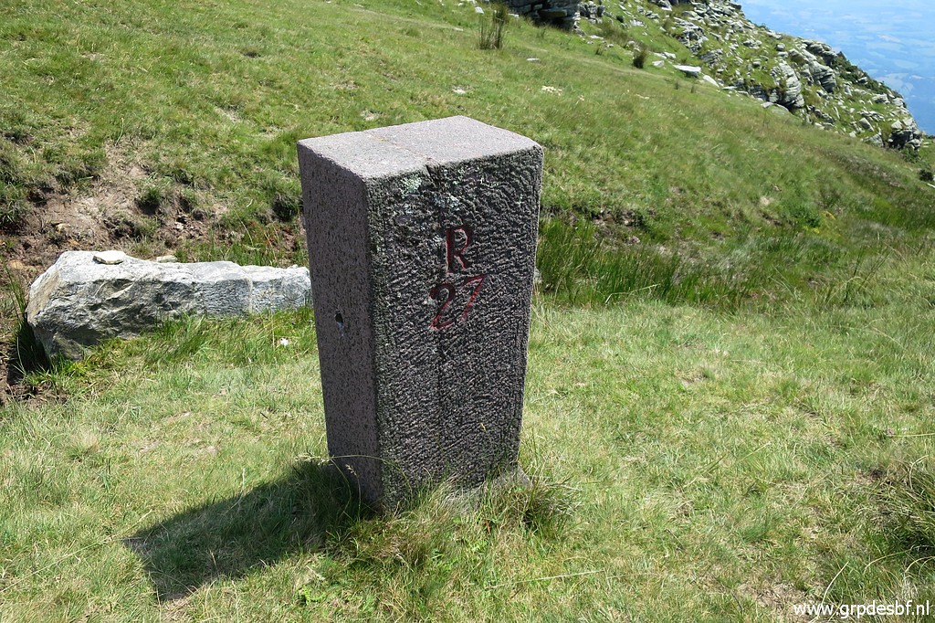
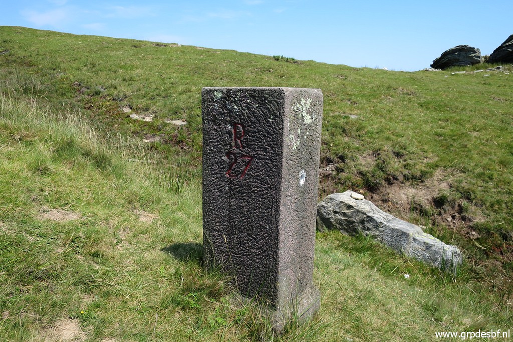
 | Heading further west, bm027 is already visible on this picture. (click photo to enlarge) |
 | Zoom-in to bm027 (click photo to enlarge) |
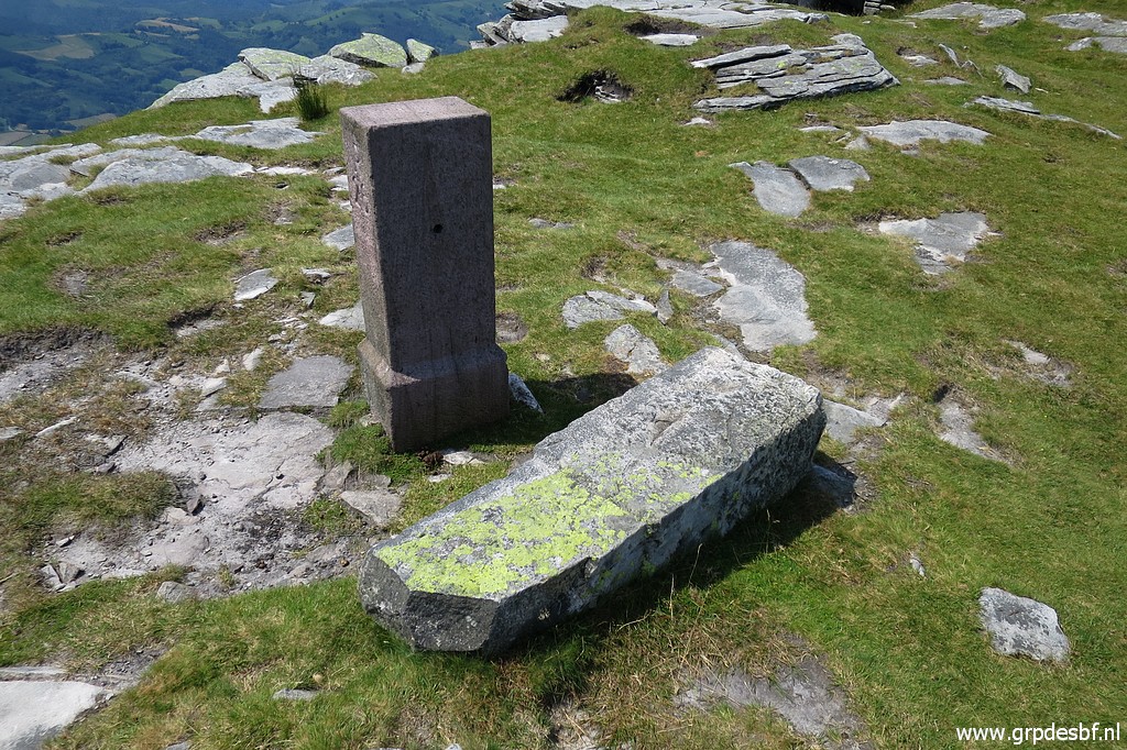
 | Bm027 (click photo to enlarge) |
 | Bm027 with a stone marker - I think -in front. But it doesn't look like a former official bordermarker. (click photo to enlarge) |
 | Bm027 (click photo to enlarge) |
 | Bm027 (click photo to enlarge) |
 | Bm027 (click photo to enlarge) |
 | Bm027 (click photo to enlarge) |
 | Bm027 (click photo to enlarge) |
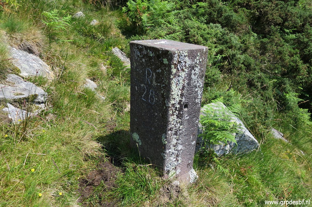
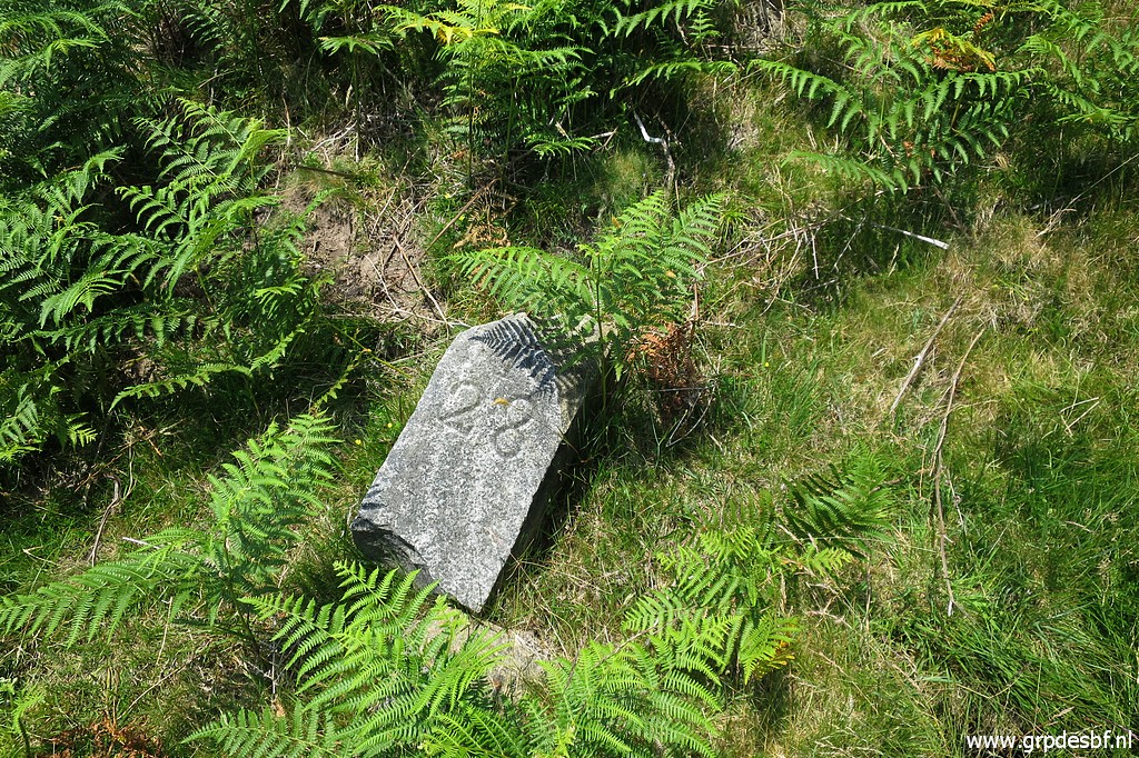
 | The last one for today - bm028 - is downhill. (click photo to enlarge) |
 | In the distance, I spot a man besides (click photo to enlarge) |
 | bm028. I wonder if he is also interested in bordermarkers but he has left when I arrive at the marker. (click photo to enlarge) |
 | Bm028 is about 15m from the trail (click photo to enlarge) |
 | Bm028 (click photo to enlarge) |
 | Bm028 (click photo to enlarge) |
 | Bm028, looking uphill where I came from. (click photo to enlarge) |
 | A cross on a rock close to bm028 (which is the background). (click photo to enlarge) |
 | Close-up of that cross. (click photo to enlarge) |
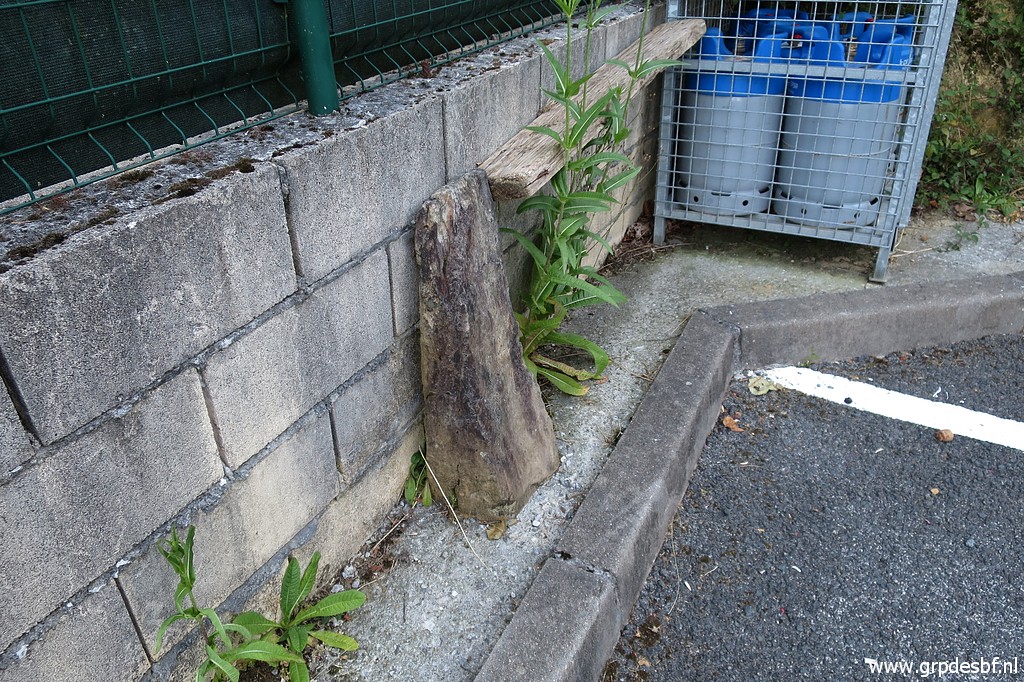
 | The remains of the old bm028, ± 12m below the actual marker. (click photo to enlarge) |
 | The old bm028 with the actual bm028 in the background. (click photo to enlarge) |
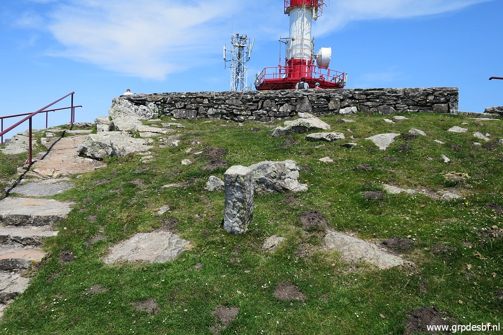
 | I walk back to La Rhune. There are a few unnumered bordermarkers at the summit. (click photo to enlarge) |
 | This is the first one (click photo to enlarge) |
 | with a cross on top of it. The origins of all these unnumbered markers are unknown but we may assume that they were the old communal markers before the official binational delimitation took place in the 19th century. (click photo to enlarge) |
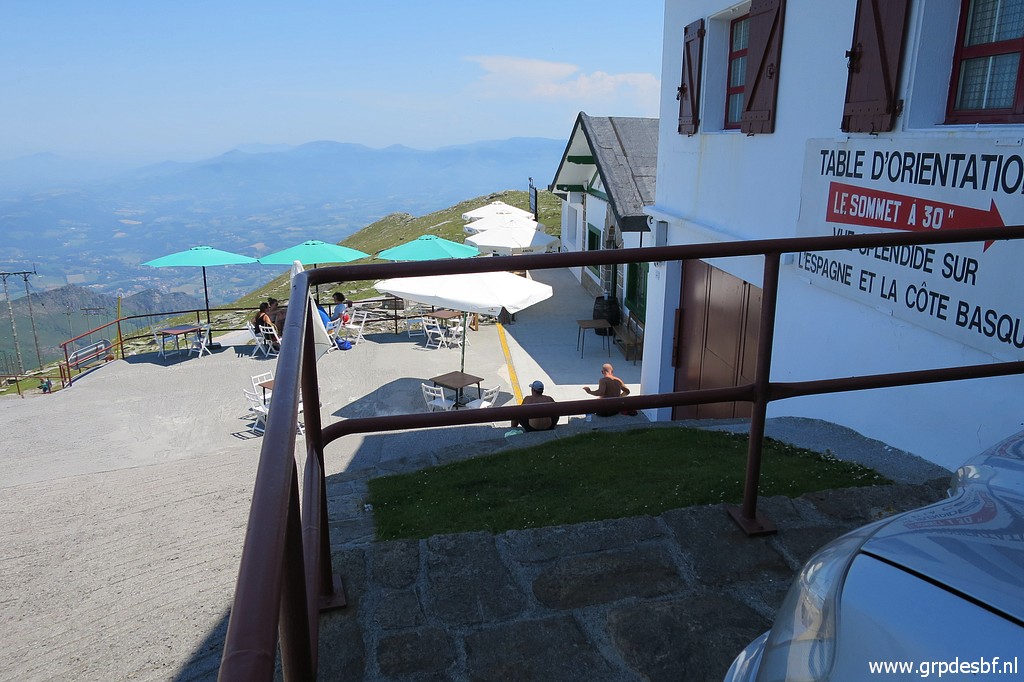
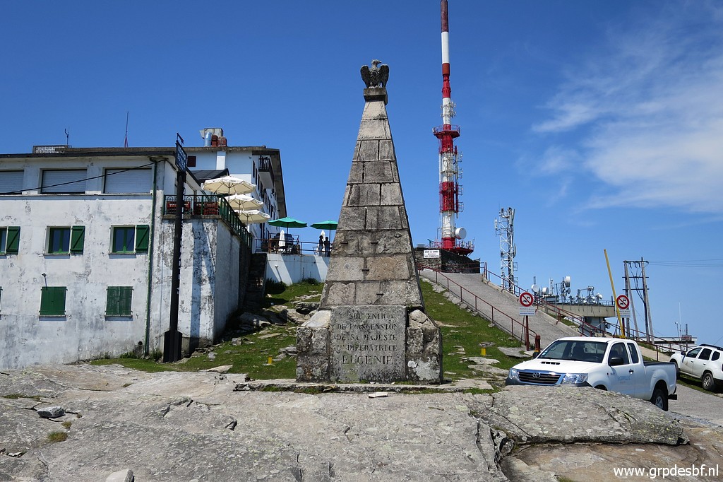 | A monument of the visit of a French queen in the 19th century. Note: the buildings at the left - restaurants and shops -are on Spanish ground. Tobacco and alcohol are cheaper in Spain. (click photo to enlarge) |
 | Another unnumbered marker. (click photo to enlarge) |
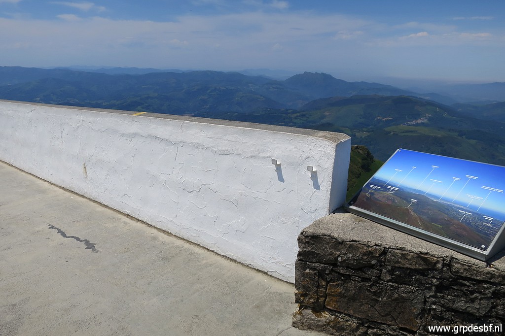 | The balustrade at the west side of the summit with (click photo to enlarge) |
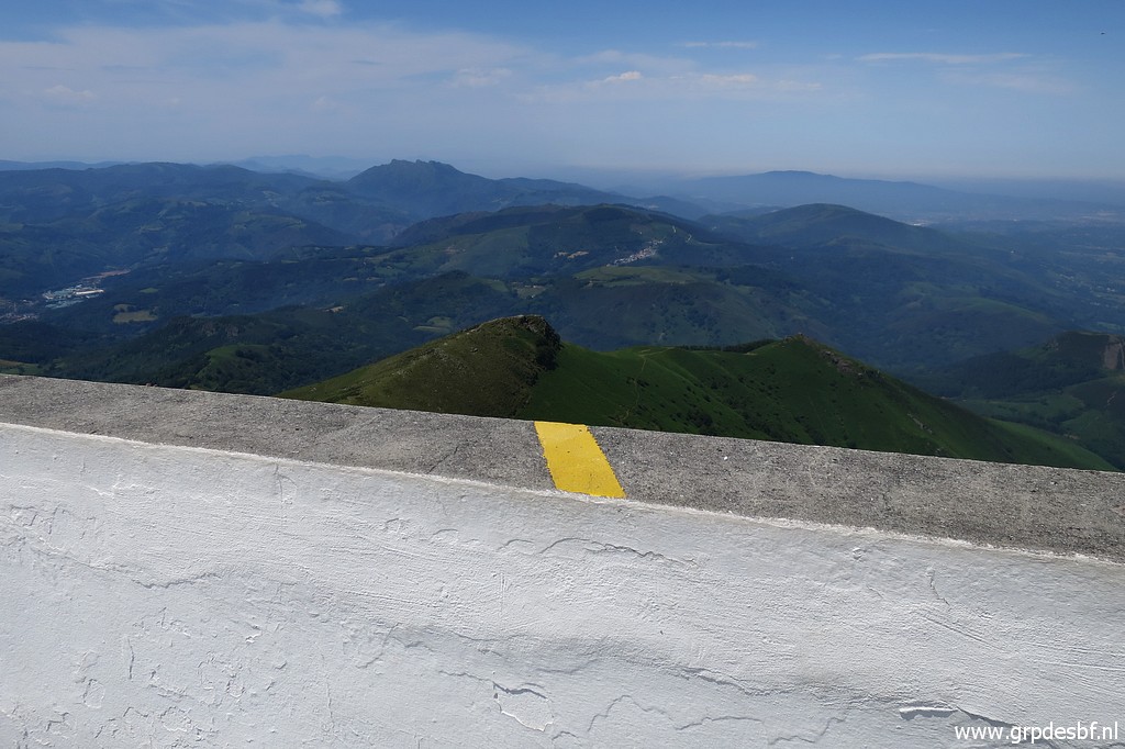 | a yellow line which marks the borderline. (click photo to enlarge) |
 | And underneath the balustrade a rock with (click photo to enlarge) |
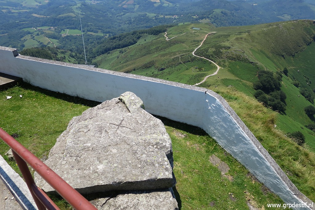 | a cross on it. (click photo to enlarge) |
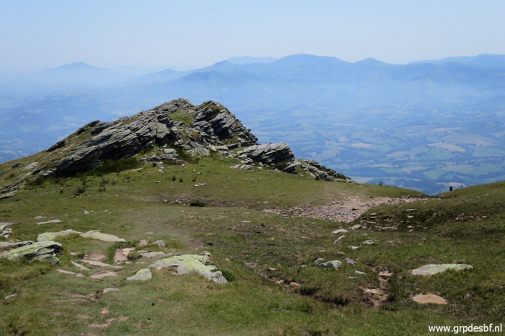
 | View to the west with the hillridge with La Petit Rhune (the outcrop on the ridge). (click photo to enlarge) |
 | Finally a yellow line (click photo to enlarge) |
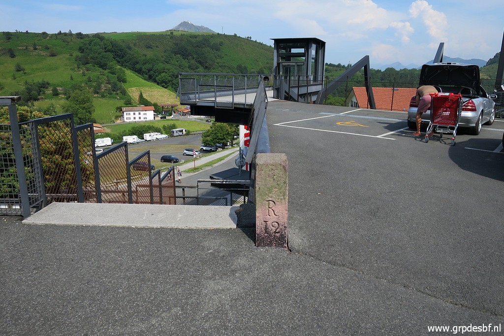
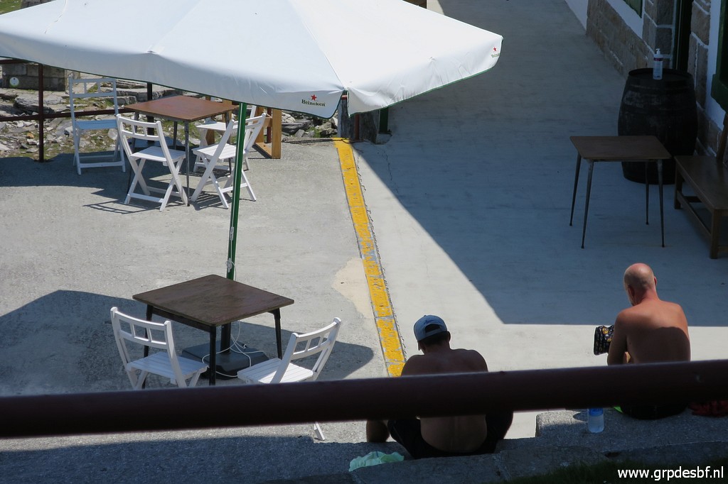 | along the buildings. It took me about 6 hours so far. I am quite tired and take a break in a restaurant for an hour, enjoying a lunch. Face masks are obliged inside the shops and restaurants because of the Covid19-pandemic. (click photo to enlarge) |
 | Then
returning with new energy. The return trip will take ± 3 hours. First
downhill along the tarmac road at the south side of La Rhune (click photo to enlarge) |
 | It seems that - from the road - there is a trail which climbs steeply uphill to the summit. (click photo to enlarge) |
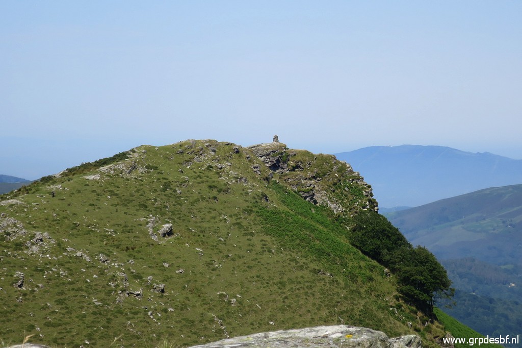
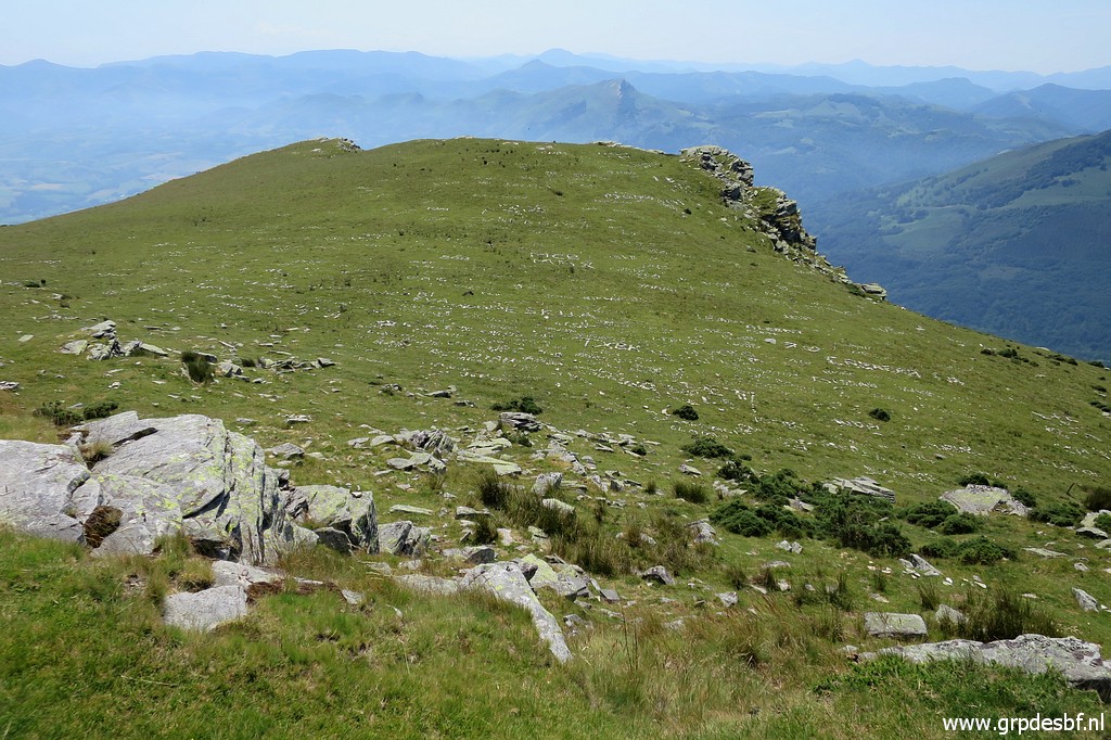
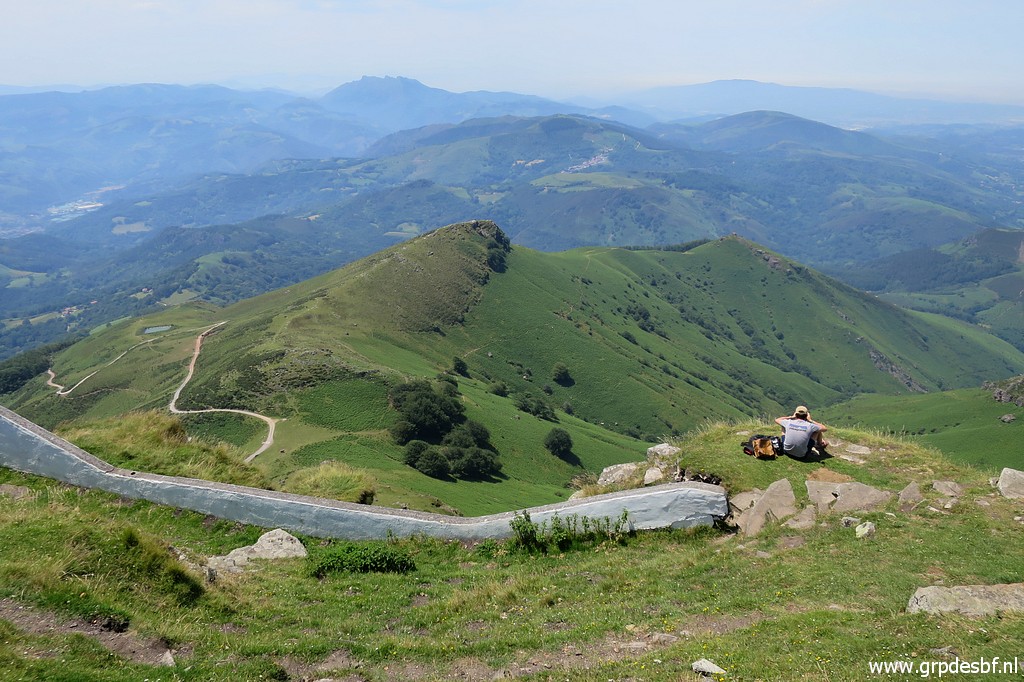
 | On my return trip, I take the hillridge towards La Petite Rhune. This picture: looking back at La Rhune (click photo to enlarge) |
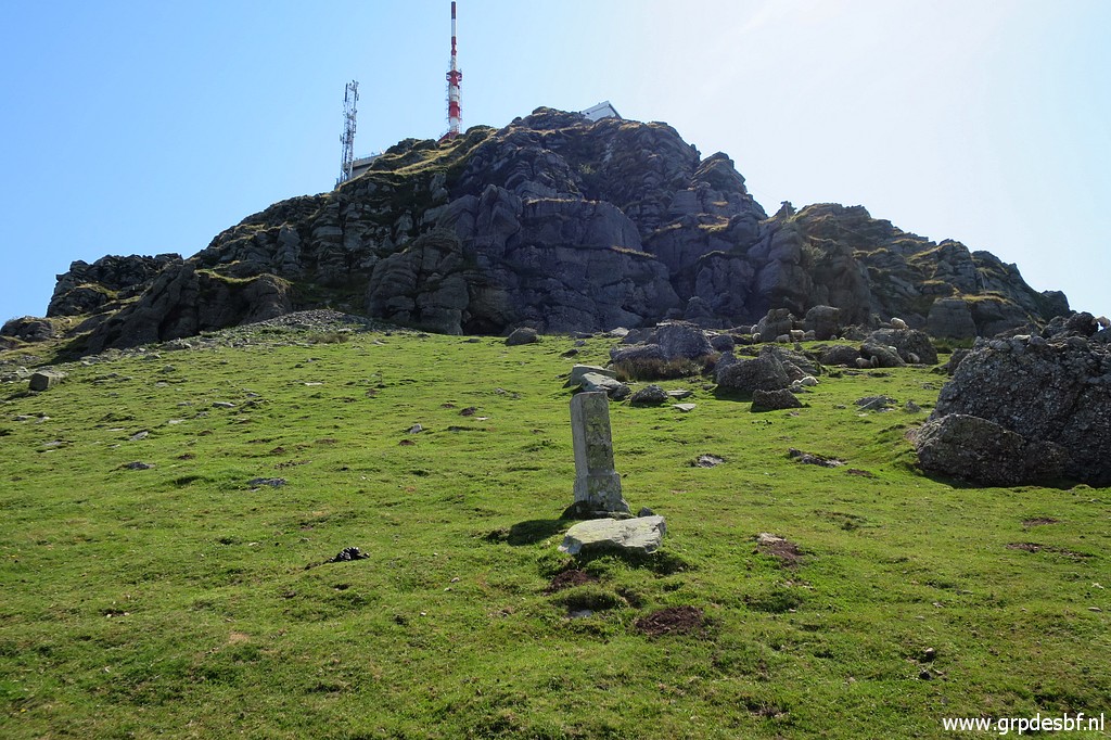
 | Bm022 In the far end the silhouette of the cairn on La Petite Rhune is visible. (click photo to enlarge) |
 | On the hillridge, looking back. (click photo to enlarge) |
 | Arriving at La Petite Rhune (click photo to enlarge) |
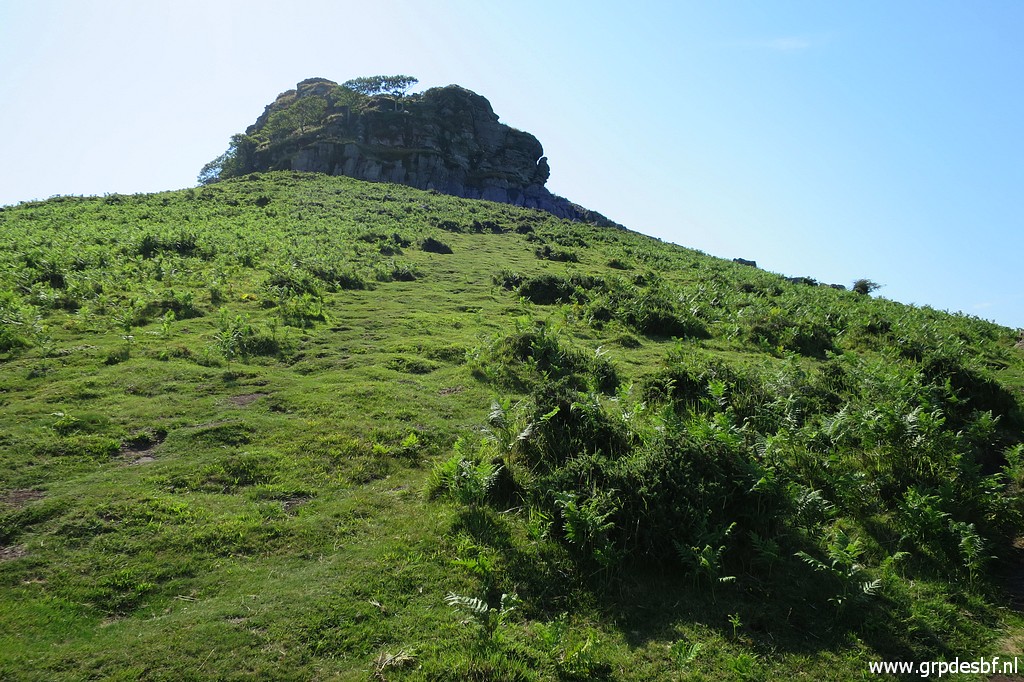
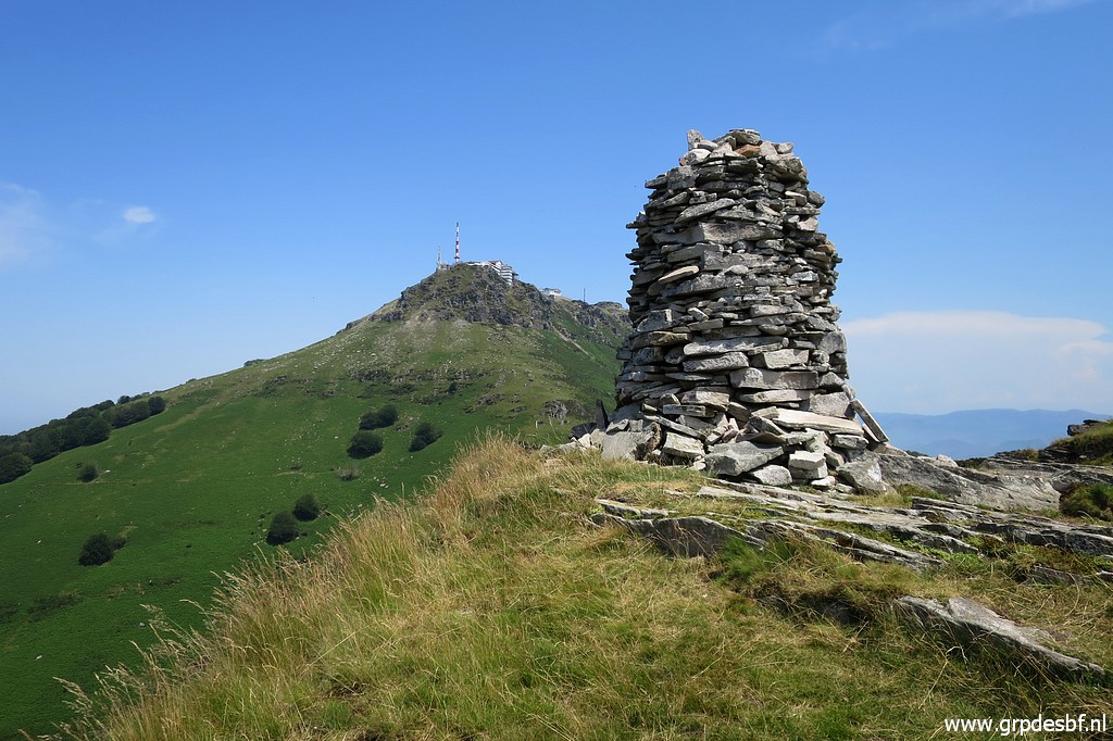 | The giant cairn at La Petitie Rhune with La Rhune in the background. (click photo to enlarge) |
 | I descend on a sort of trail to (click photo to enlarge) |
 | to the foot of La Petite Rhune. (click photo to enlarge) |
 | Back
at the bifurcation, in fact a 'trifurcation'. One can go left
underneath La Petite Rhune or right underneath as I did. Or climb ahead
to La Petite Rhune itself (there is a trail circling to the top at the
right of it). I would recommend the last option because of the views and no need to climb to bm022 later on. (click photo to enlarge) |
 | Back at bm021 with the trail entering the forest to follow towards La Petite Rhune. (click photo to enlarge) |
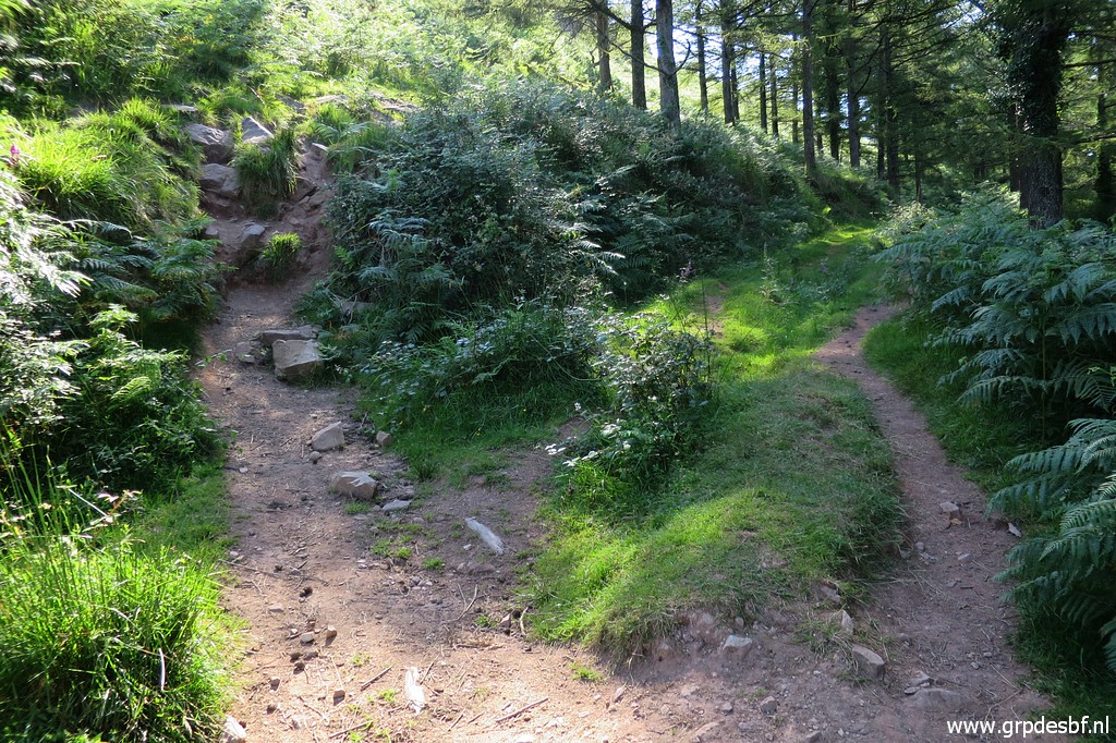
 | Now
I am back at the spot - past bm018 & 19 - where the trail starts
going uphill underneath the electricity cables to bm017. But I keep following the winding tarmac road back to Col d'Ibardin. I've had enough of climbing. (click photo to enlarge) |
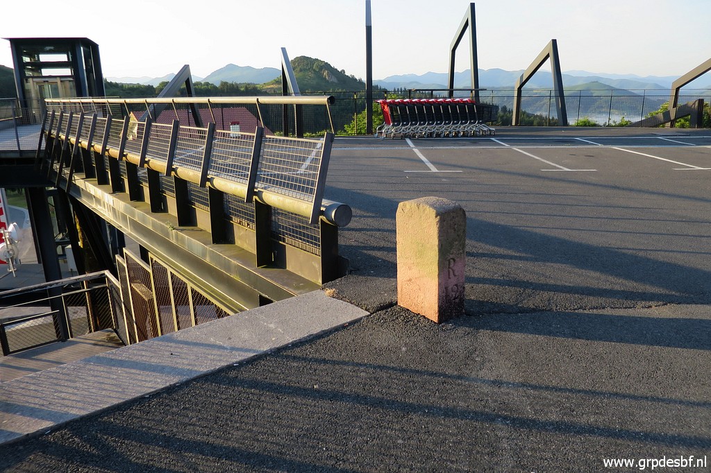
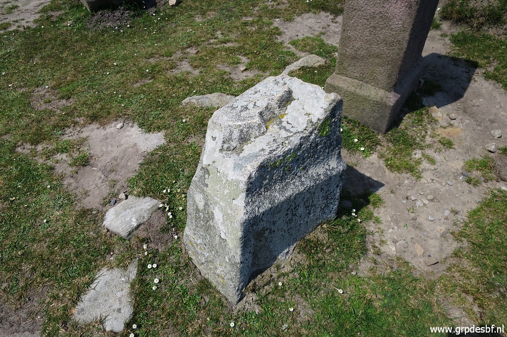
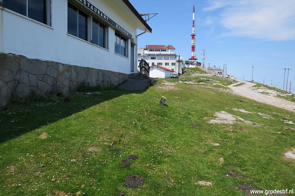
 | Back at Col d'Ibardin and making new pictures of bm013 and bm012. In the afternoon, the pictures might be better than in the early morning sunshine. (click photo to enlarge) |
 | Bm013 (click photo to enlarge) |
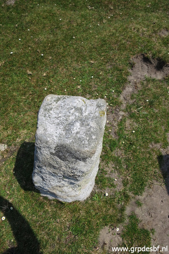
 | Then finally bm012 (click photo to enlarge) |
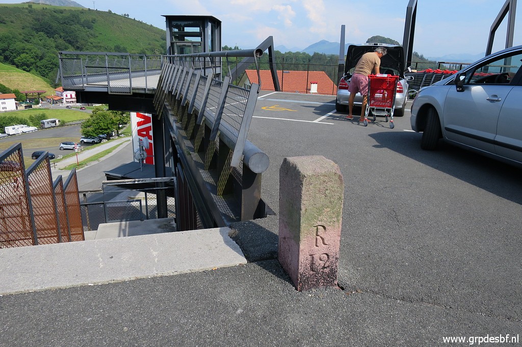 | Bm012 (click photo to enlarge) |
 | Bm012 As said before: the shops at Col d'Ibardin are at Spanish territory. End of a long and hot and productive day. I am tired and drive back to the camping. (click photo to enlarge) |