|
The
bordermarkers of the Pyrenees : all my trips
 |
|
| -
monday 6 september
2021 - Trying a new route from bm272 to bm273 |
 |
 |
Summary:
part of a series of 11 daytrips in september 2021 in the western half
of the Pyrenees. This is day 1. Today: a very very long trip (13h) to try an alternative route (via Spain) from bm272 to 273. Too long because I wanted to squeeze in one day what was planned for 1,5 day. Weather: sunny, warm Basecamp: plateau de Sanchèse (bivouac) |
 track-20210906.kml
(click to open this trip in Google Earth or copy link to Google Maps; click right on this link to download gpx-version). The gps-track has not been manually corrected which explains the inaccuracy and misalignment at some points. For cartographic backgrounds: see the cartography-page Gps-waypoints of all bordermarkers (most recent version): kml: esfr-bordermarkers-all-waypoints.kml gpx: esfr-bordermarkers-all-waypoints.gpx (with elevation added by gpsvisualizer.com) |
|
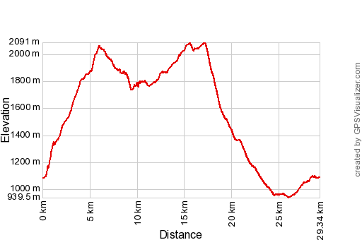 |
According to Garmin
Basecamp (uncorrected track with elevation added by Gpsvisualizer.com): Distance: 29,3km Max-height: 2091m Min-height: 940m Elevation: +2235m -2234m Total elevation: 4469m Start 7:34 Finish 20:51 Total time: 13:18 |
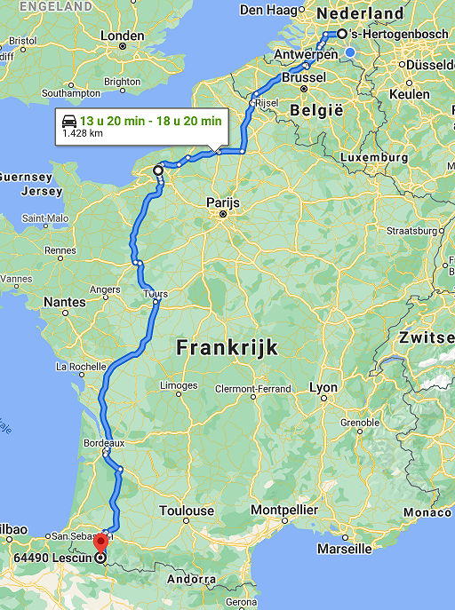 |
Yesterday (sunday) I arrived at the Plateau de Sanchèse near Lescun after a long and tiring drive started at saturday night. |
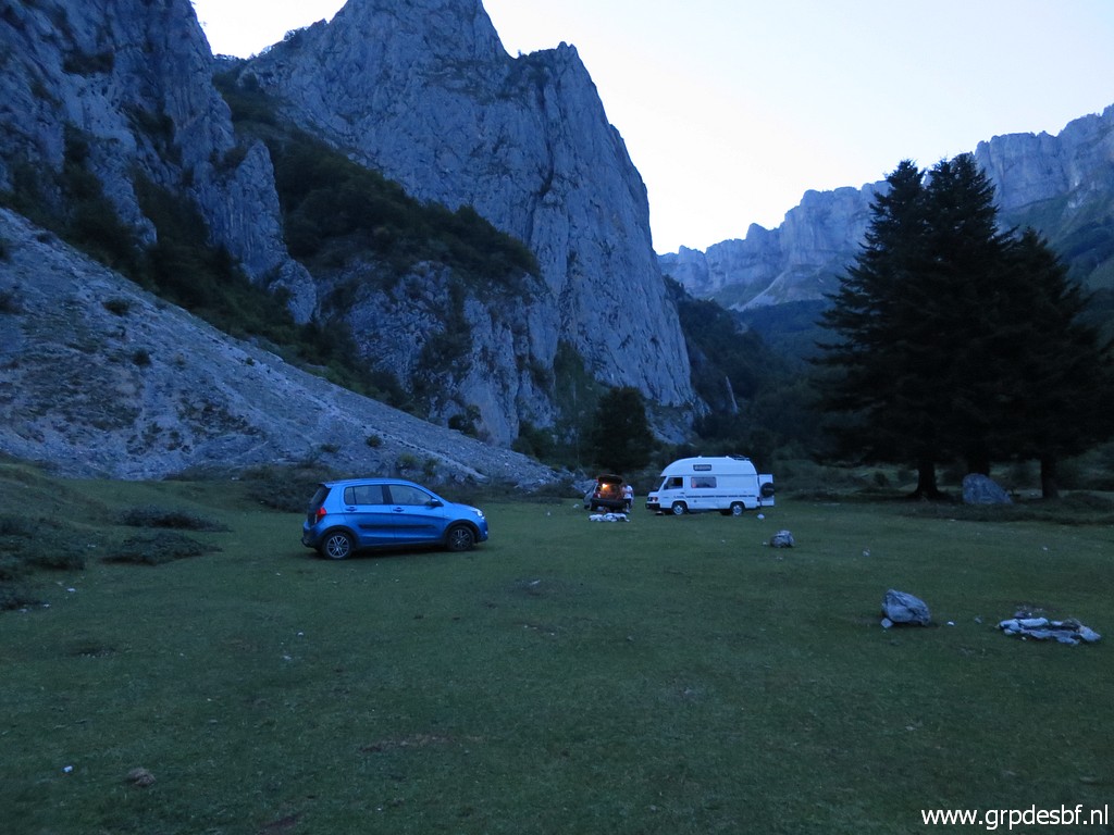
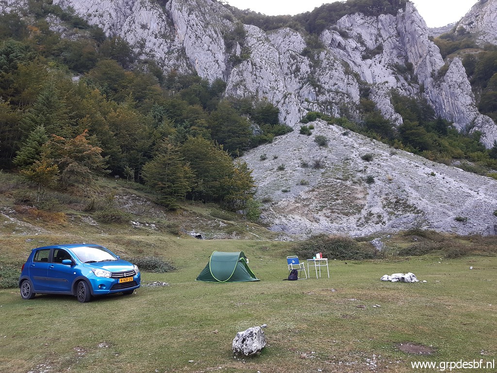 | Sunday evening: my bivouac for the night at Plateau de Sanchèse. (click photo to enlarge) |
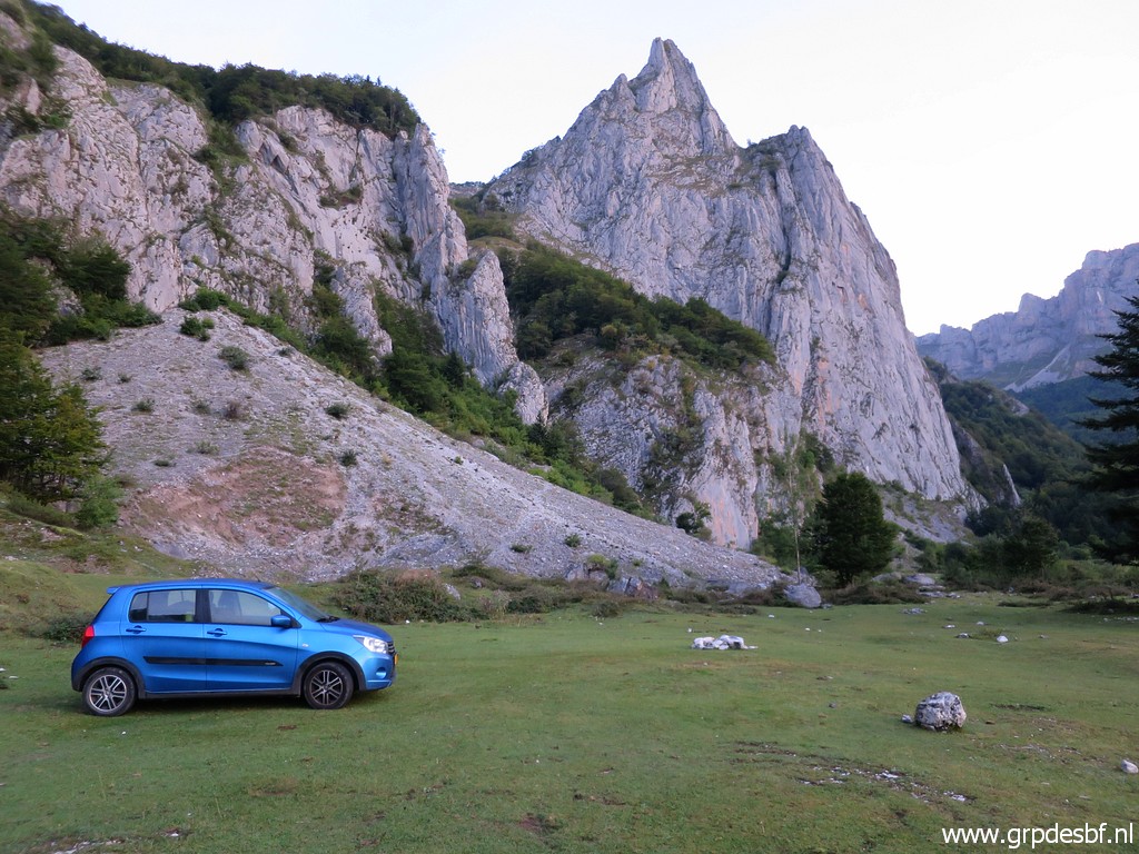 | This morning: early rise, starting at 7:30. (click photo to enlarge) |
 |
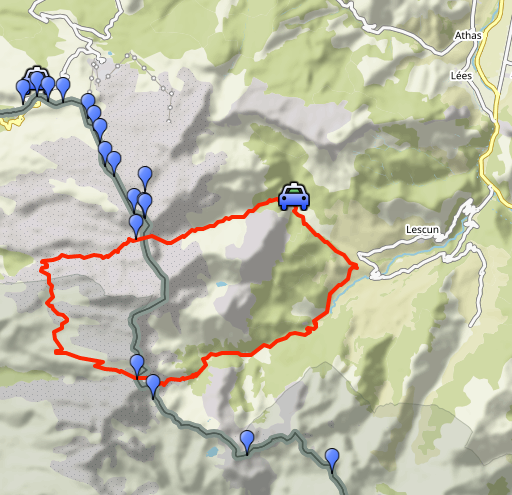
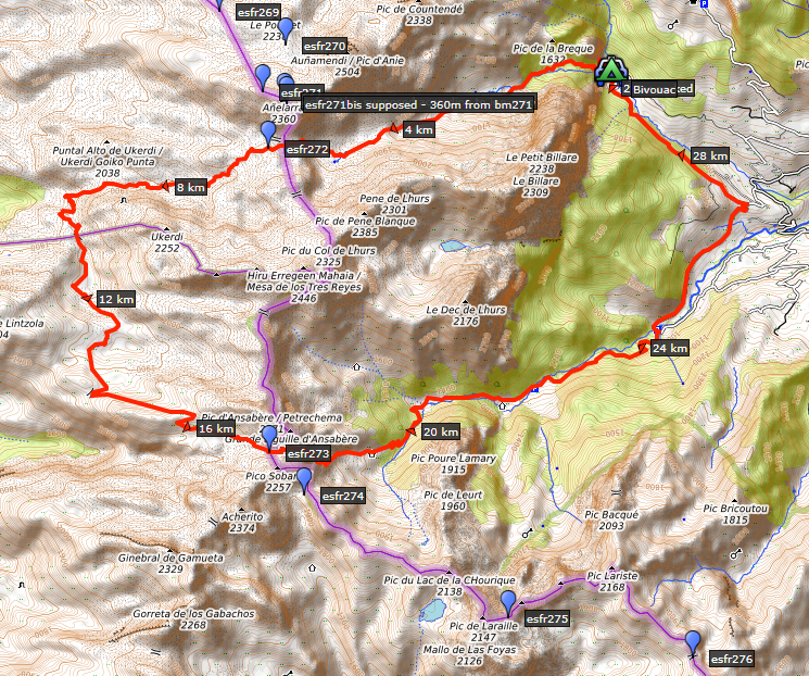
(click map to enlarge) But what is the target of today? I will try the red route between bm272 and bm273. I found it on Spanish maps, OSM and TopoPirineos. Most of it is apparently waymarked red-white. It looks like a better route than the more straight north-to-south connection I did on 13-9-2020. See for more information on both routes that page. |
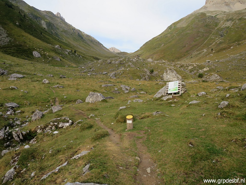
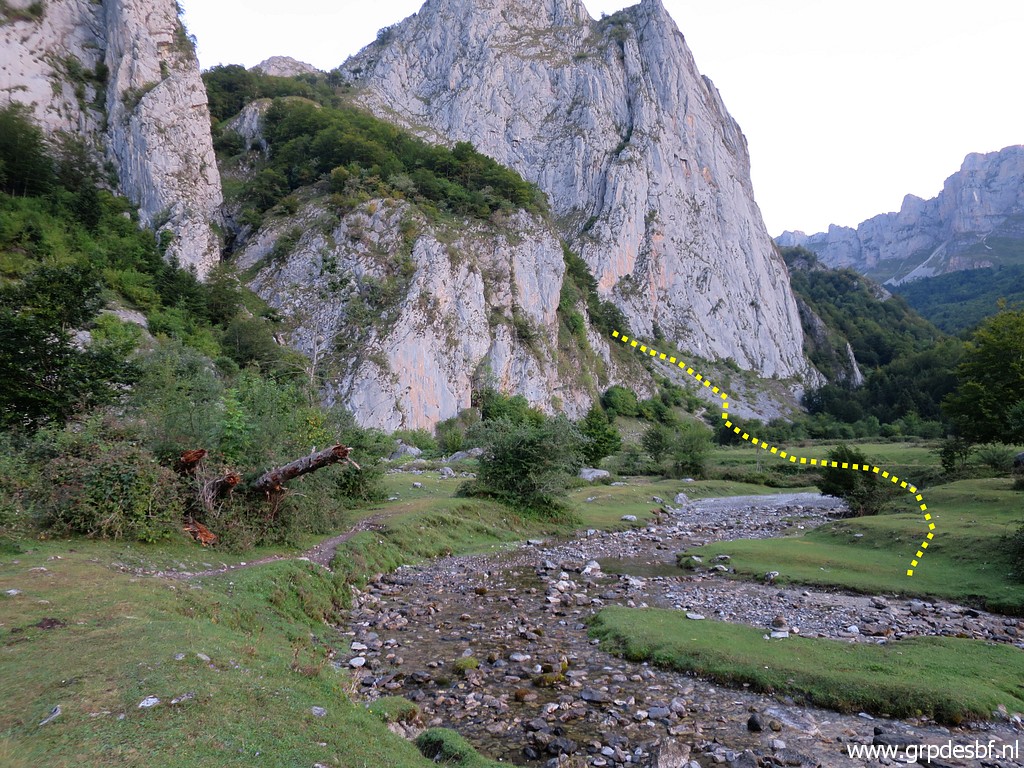 | Towards the path that will bring me to the valley which climbs to Sources de Marmitou. (click photo to enlarge) |
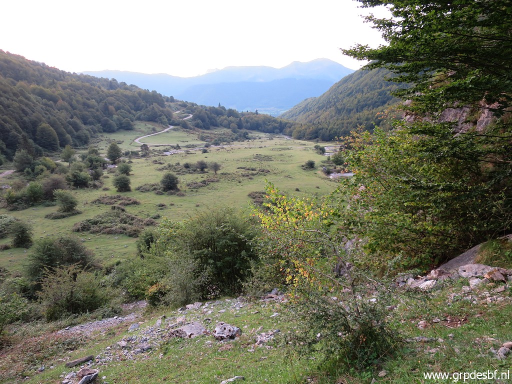 | Looking back at the plateau of Sanchèse, a perfect place for free camping. However, it might be forbidden for vehicles in the summer. (click photo to enlarge) |
 | Along the rocky path (click photo to enlarge) |
 | which brings me to open terrain. (click photo to enlarge) |
 | I see that there has been some change in the course of the trail to Sources de Marmitou since last year. (click photo to enlarge) |
 | It now passes the shepherd's cabin Cayolars d'Anaye at it's south side. (click photo to enlarge) |
 | Looking back to spot the trail which comes from Col des Anies. That is the course of the main route of my GRPdesBF-trail. (click photo to enlarge) |
 | Surprise: no cows, sheeps or goats but .... donkeys. (click photo to enlarge) |
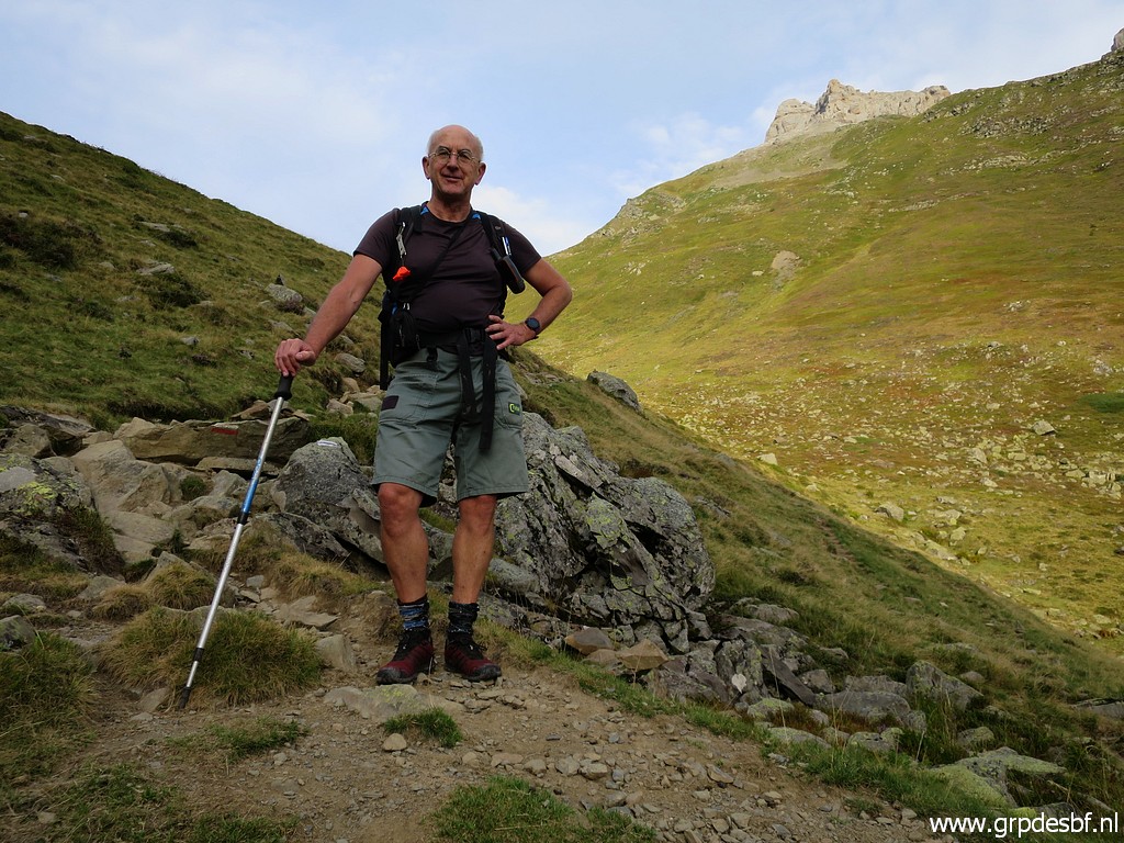 | A german couple - thrilled about the Pyrenees - are willing to take a picture. I still feel fresh. (click photo to enlarge) |
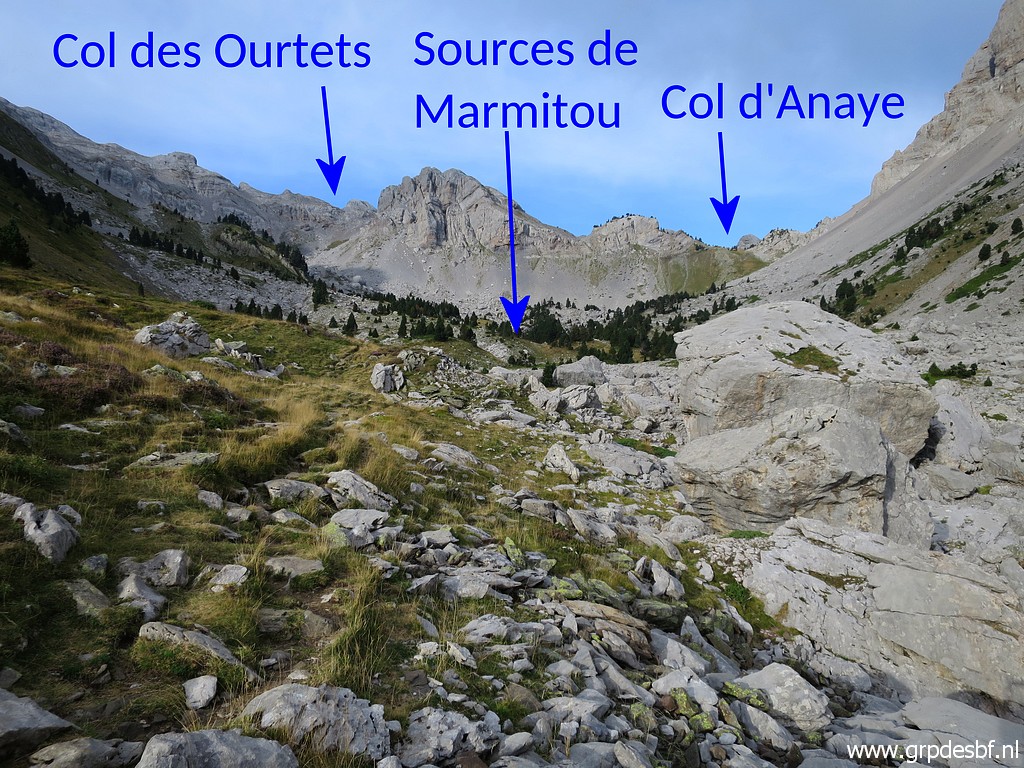 | Approaching the upper valley. I am heading for Col d'Anaye (click photo to enlarge) |
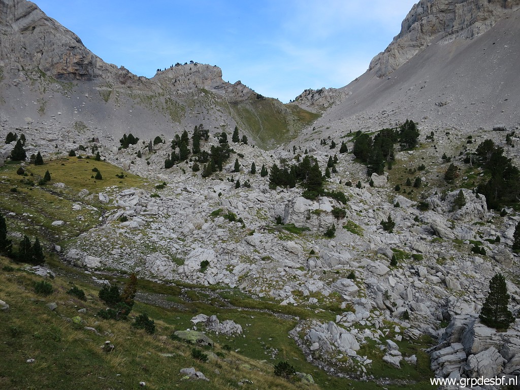 | and that requires crossing a rocky terrain but that is not difficult. (click photo to enlarge) |
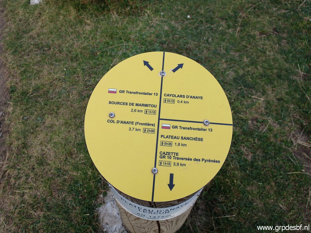
 | The trail is well waymarked with (click photo to enlarge) |
 | another signpost. (click photo to enlarge) |
 | The final climb is short (click photo to enlarge) |
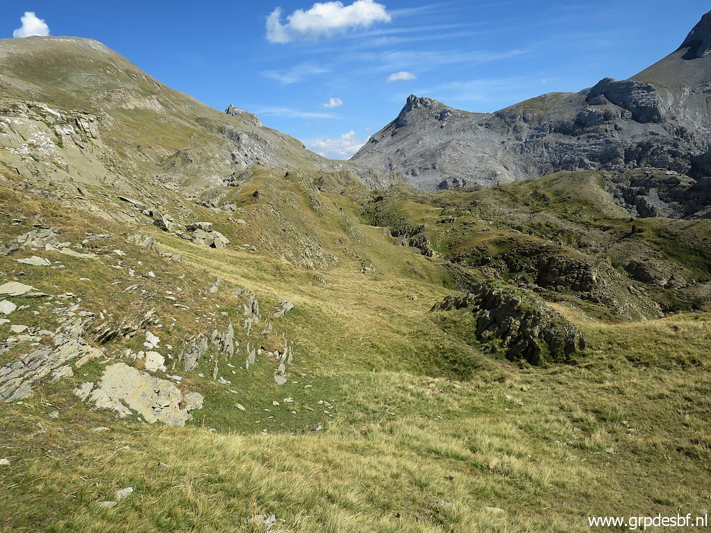
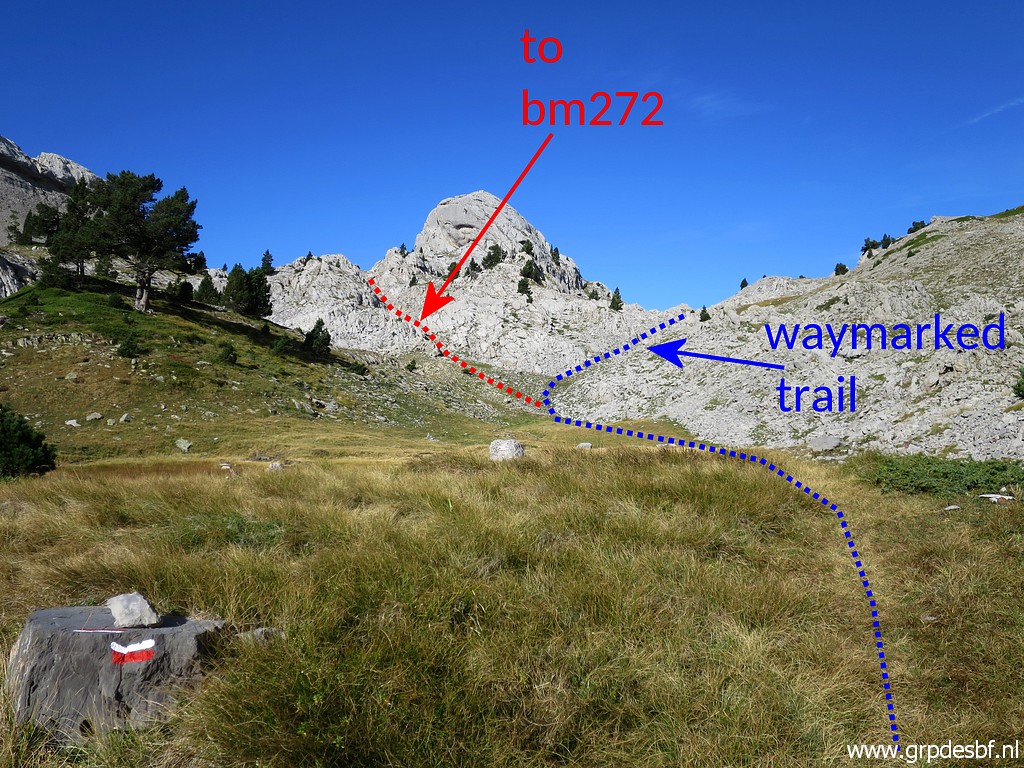 | and brings you first to this grassy level. It's important to let you see where you have to leave the waymarked trail to get to bm272. (click photo to enlarge) |
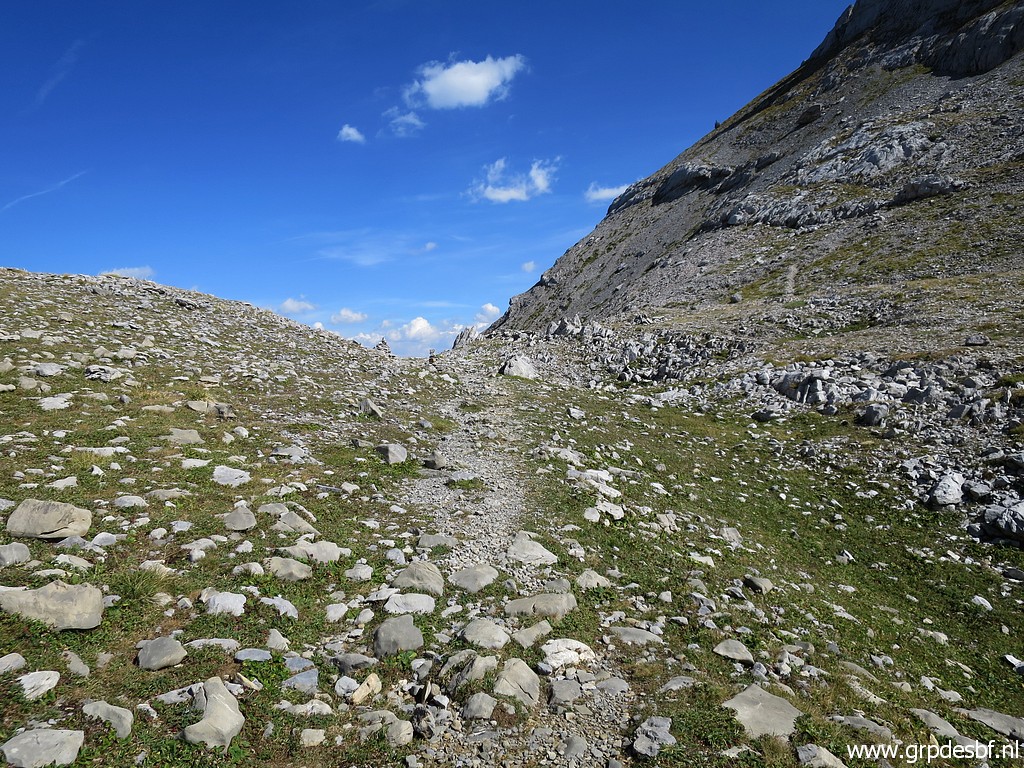
 | Entering the rocky terrain in (click photo to enlarge) |
 | which navigation is quite simple although there are no cairns or other waymarks. (click photo to enlarge) |
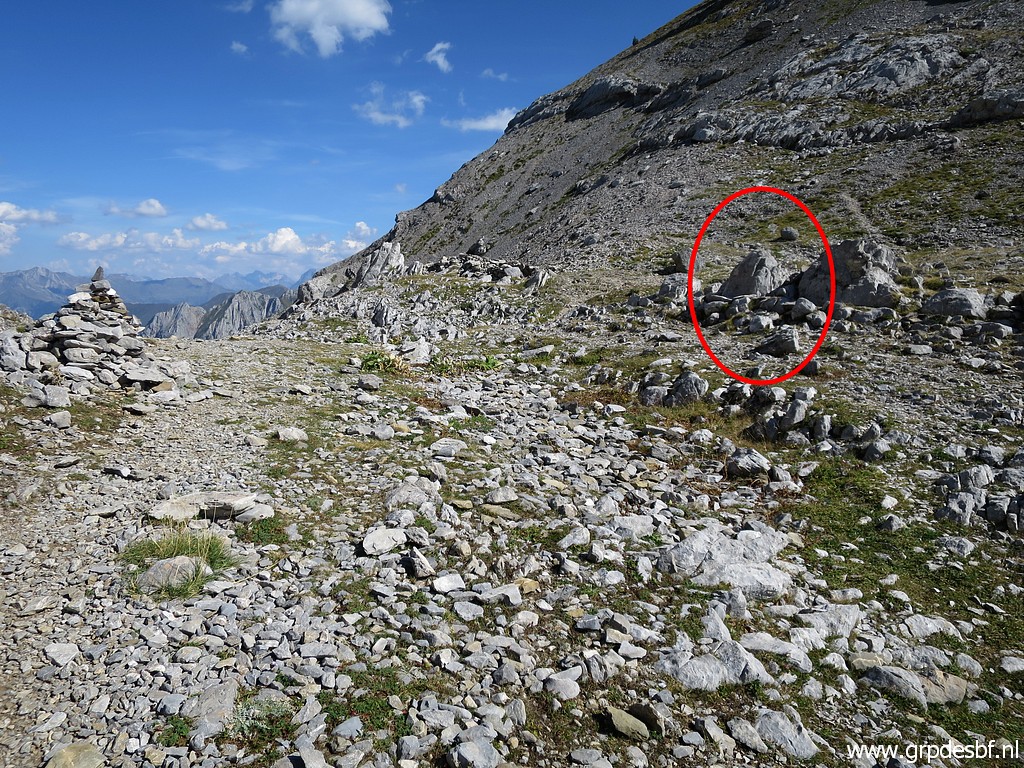
 | The dead tree trunk indicates that you are close to bm272. It's about 10:30 so it took me 3 hours to get here from the Plateau de Sanchèse. And 45 minutes from Sources de Marmitou. (click photo to enlarge) |
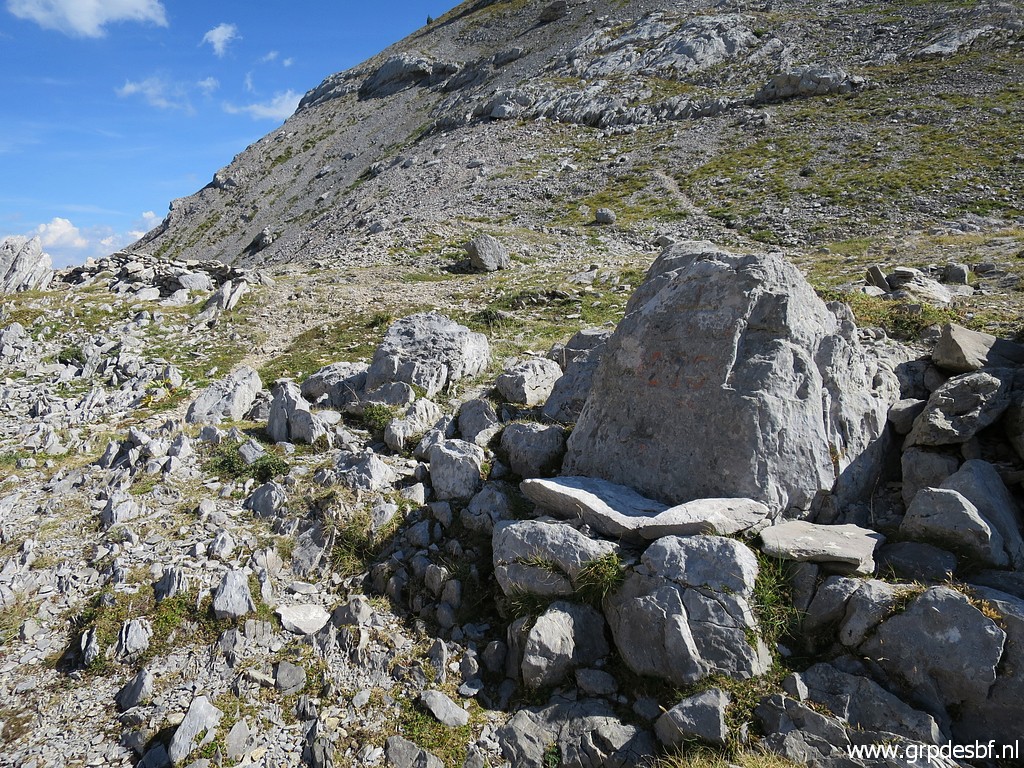
 | Bm272 (click photo to enlarge) |
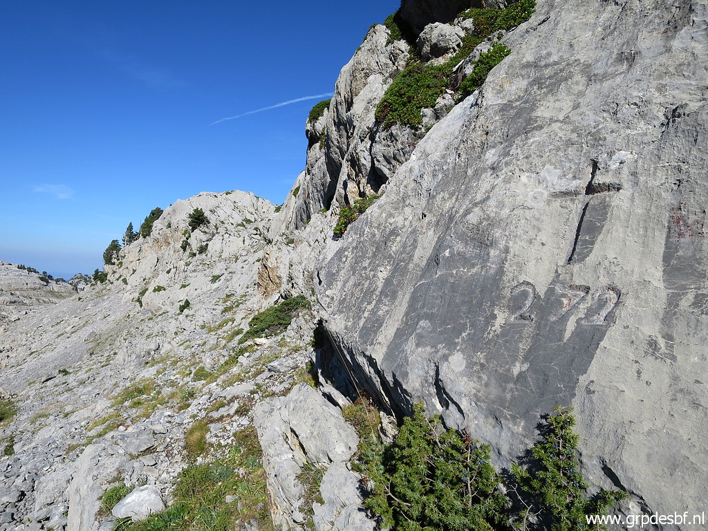 | Bm272 (click photo to enlarge) |
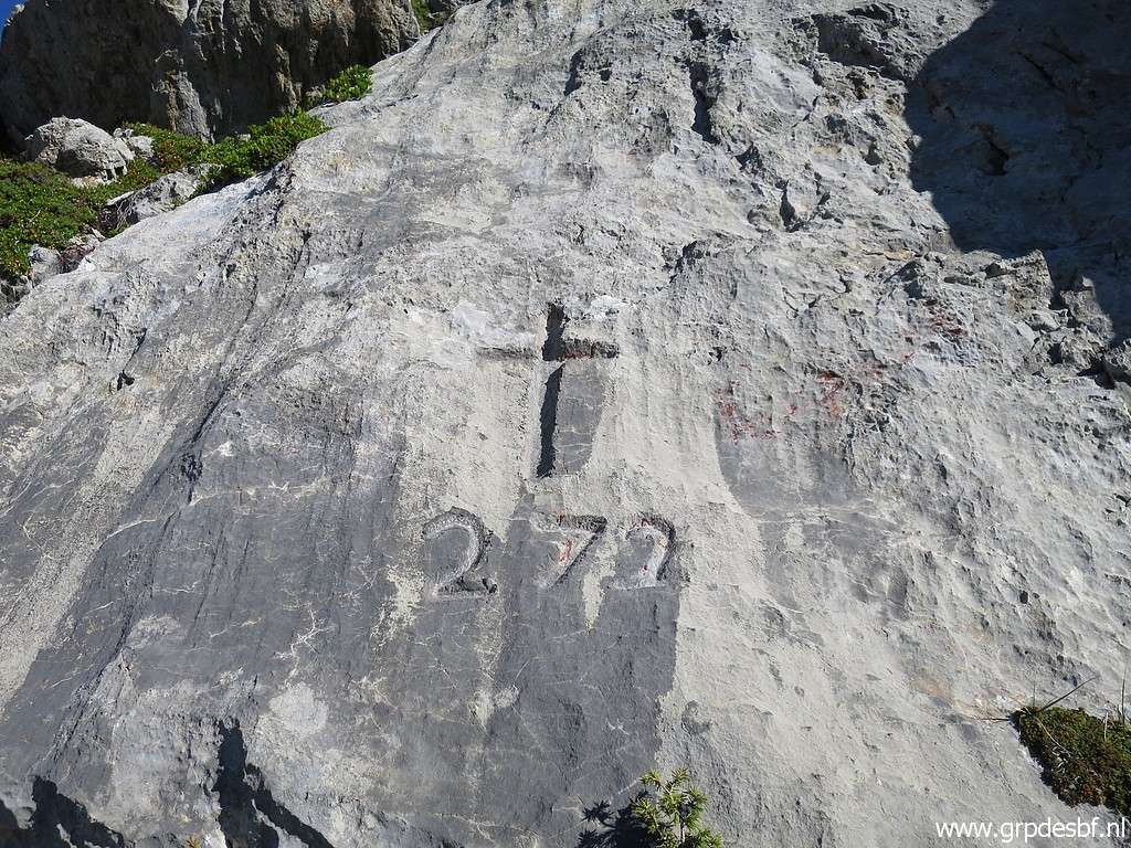 | Bm272 (click photo to enlarge) |
 | Bm272 (click photo to enlarge) |
 | Bm272 (click photo to enlarge) |
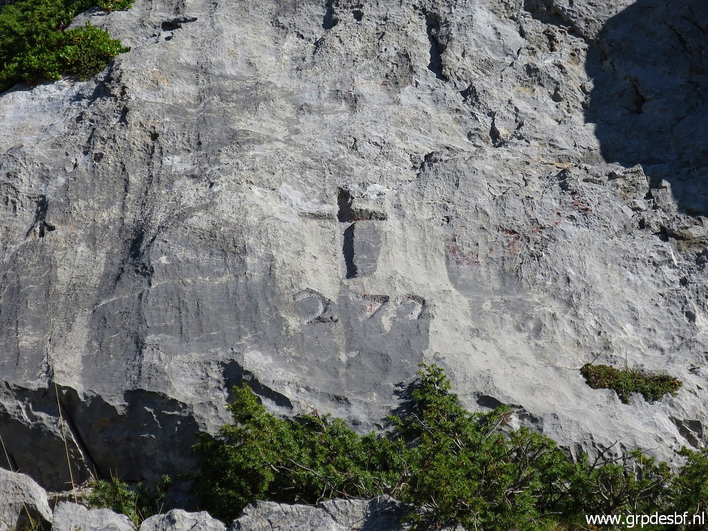 | Bm272 (click photo to enlarge) |
 | Bm272, note the dead tree trunk to your right, useful as a reference point. (click photo to enlarge) |
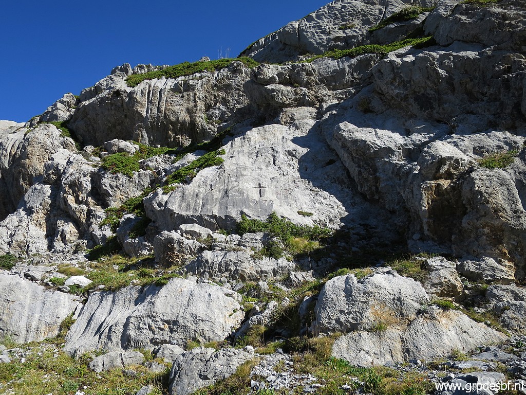
 | A last view back to bm272. (click photo to enlarge) |
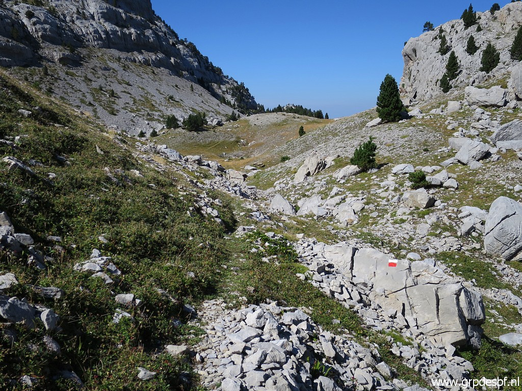
 | I continue and now I see some cairns. (click photo to enlarge) |
 | I look around to spot a red-white waymark. (click photo to enlarge) |
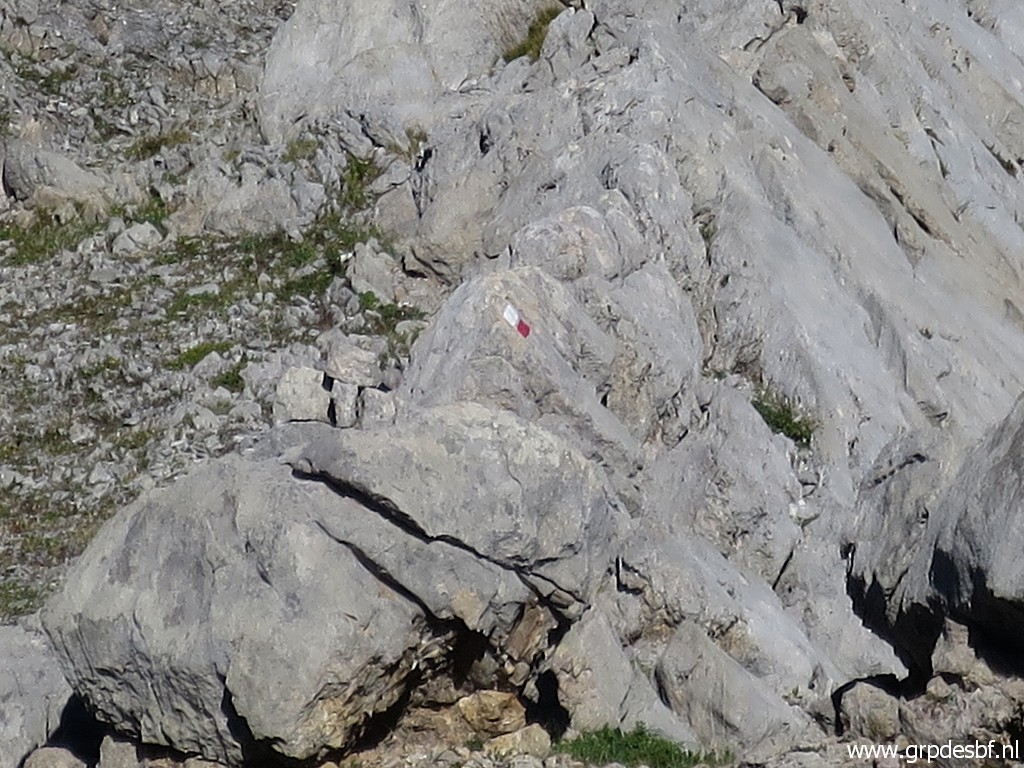 | Zoom-in: found! This is the connection to the waymarked trail which will bring me in a large half circle to bm273. It is ± 10:30 and I take a half hour break. At 11:00 continuing. (click photo to enlarge) |
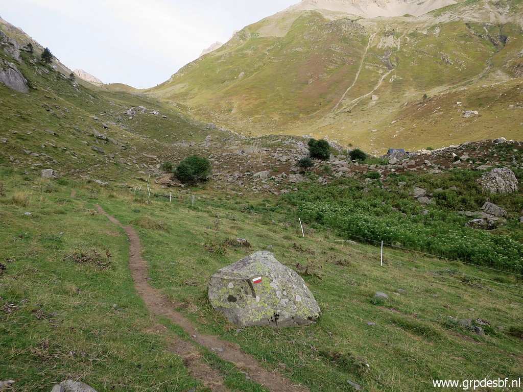
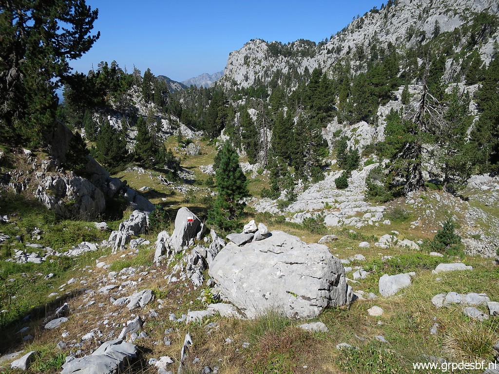
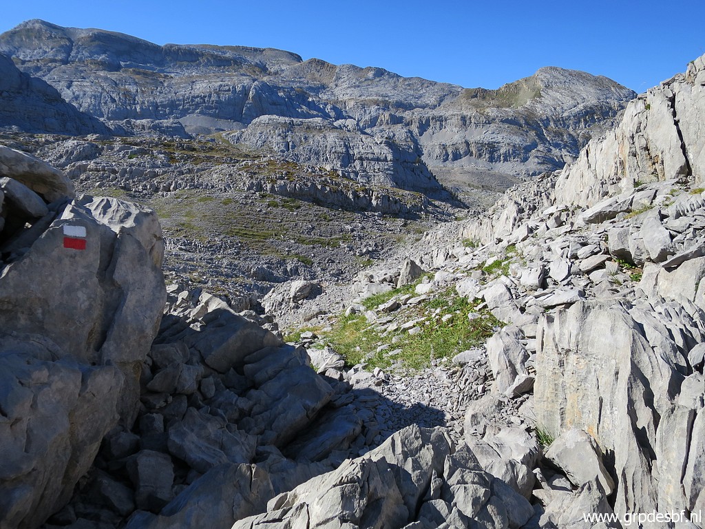 | In general it is waymarked well with paint (click photo to enlarge) |
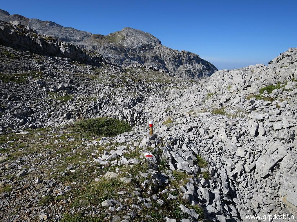 | and sometimes little wooden posts and cairns. (click photo to enlarge) |
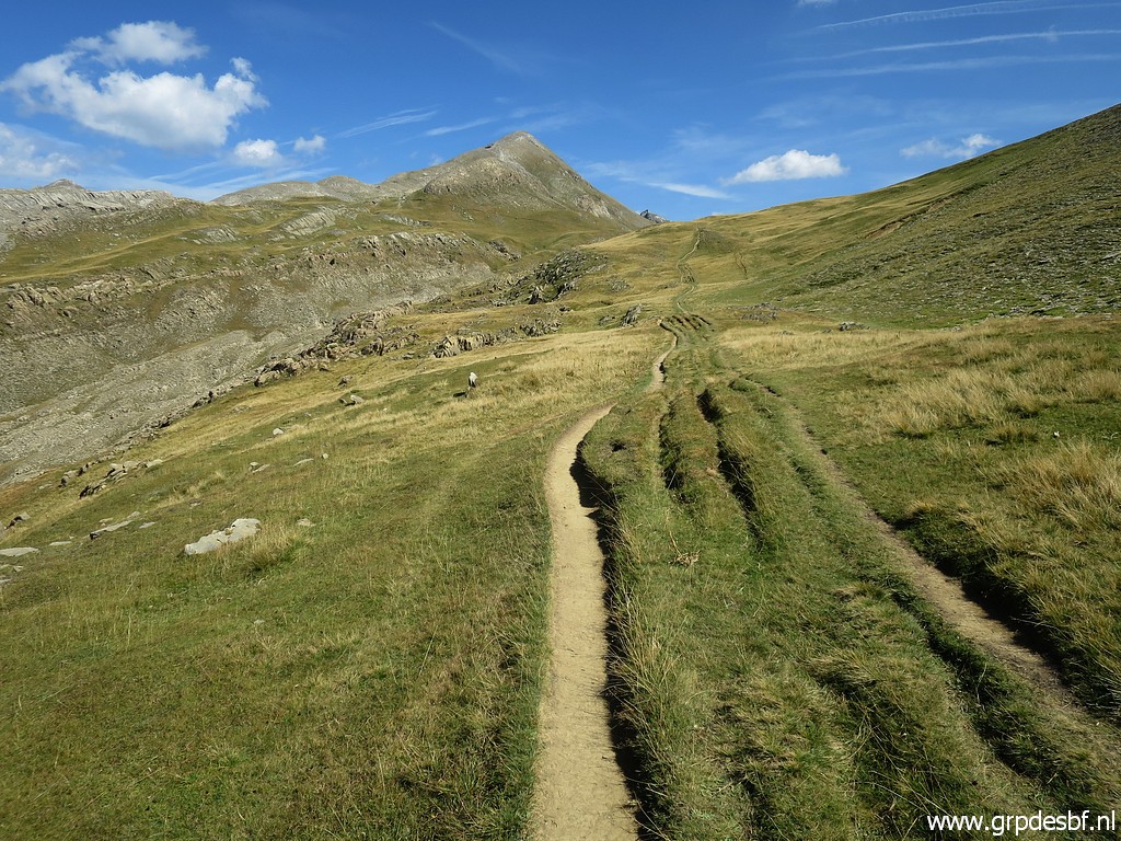
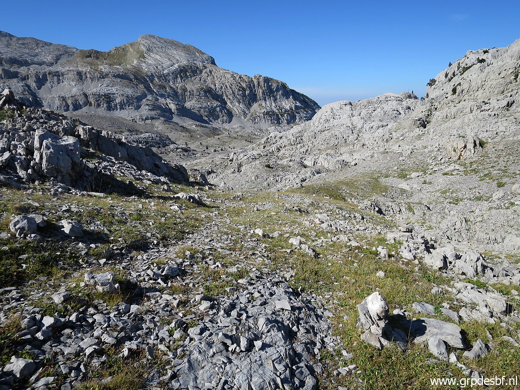 | Sometimes there is a physical track (click photo to enlarge) |
 | like here (click photo to enlarge) |
 | but mostly you have to rely on the waymarks or your gps-track when in doubt. (click photo to enlarge) |
 | This is one point where the obvious continuation is not the right one. (click photo to enlarge) |
 | As you can see, trees have appeared in the landscape. (click photo to enlarge) |
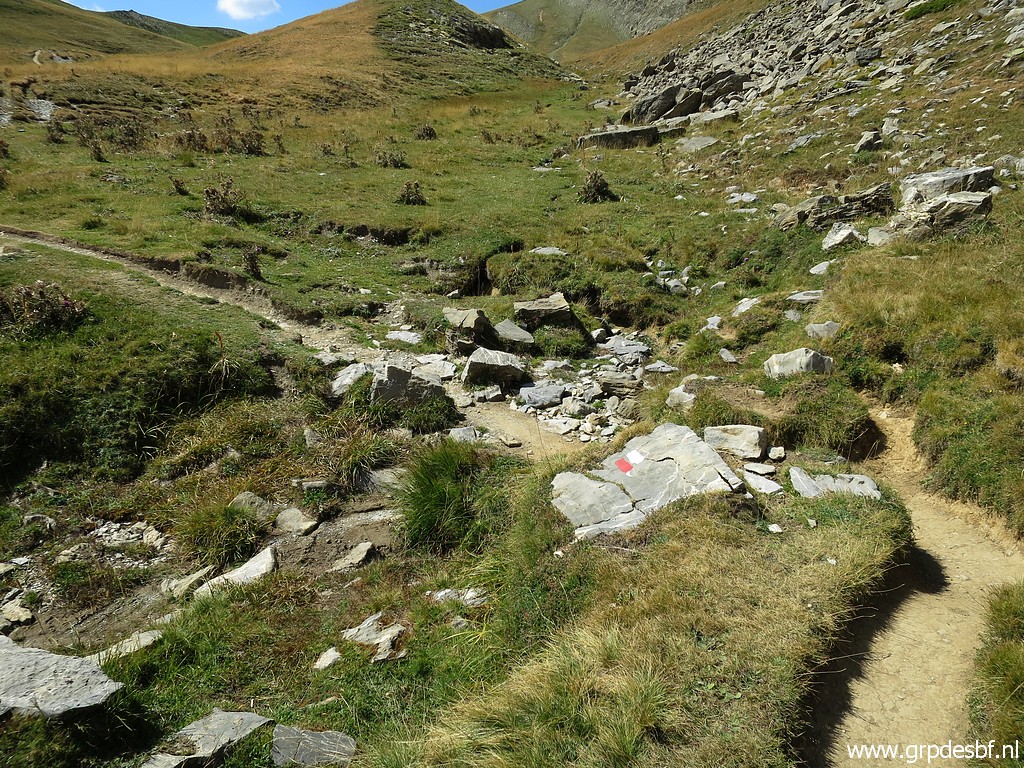
 | The trail continues between the rocks, (click photo to enlarge) |
 | still well waymarked. (click photo to enlarge) |
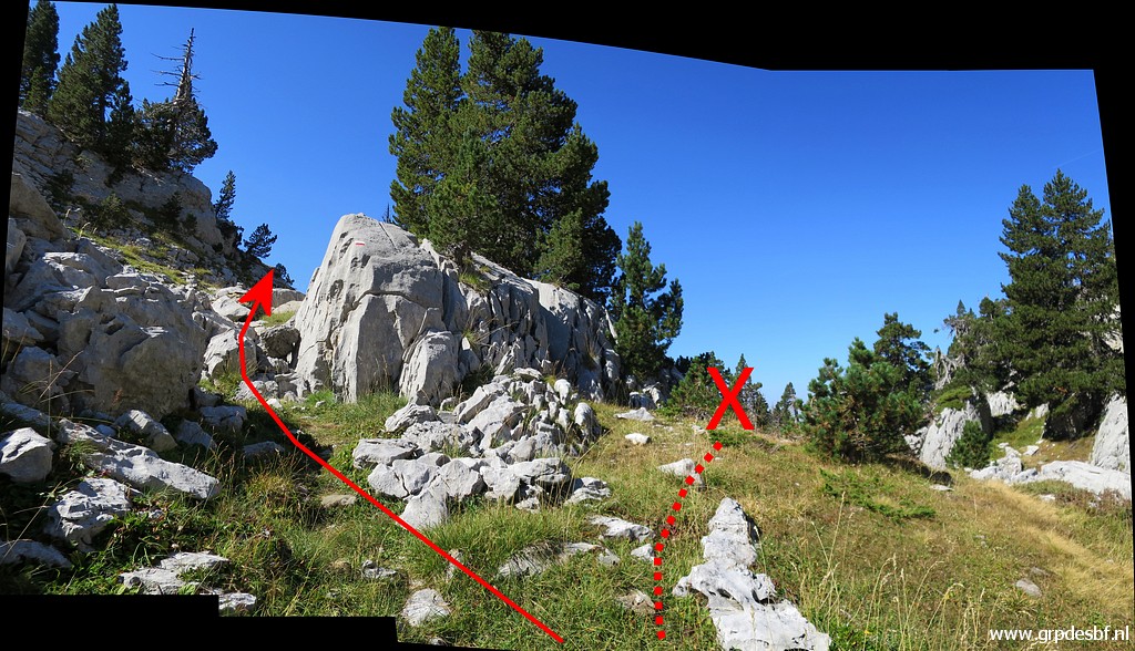
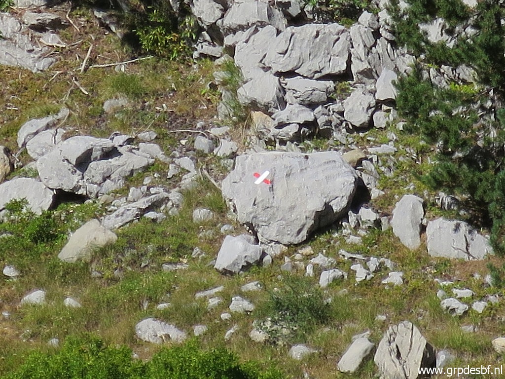
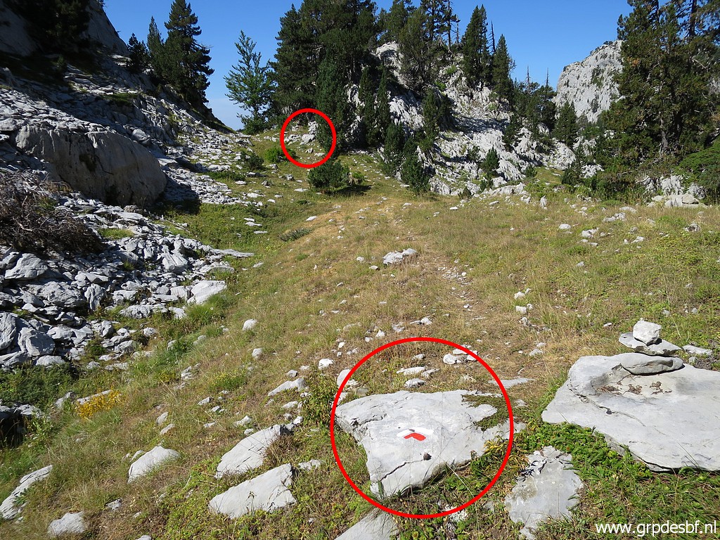 | I first missed the red-white 'turn left' waymark in the foreground (click photo to enlarge) |
 | but was soon halted by this 'don't go this way' cross. (click photo to enlarge) |
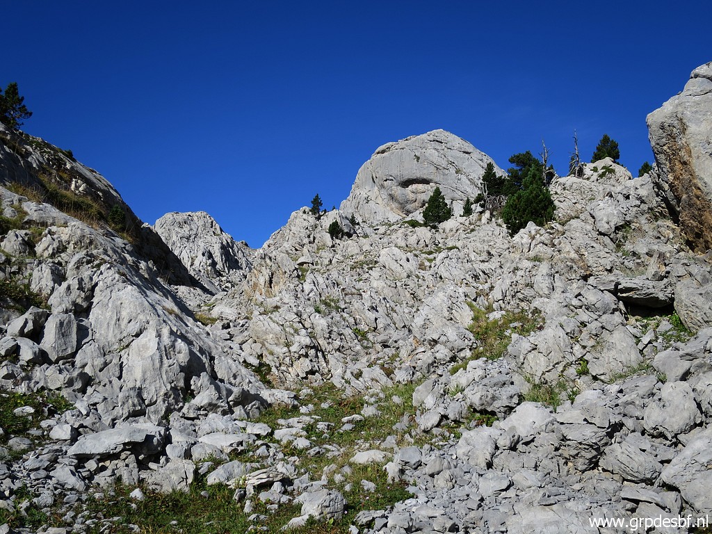
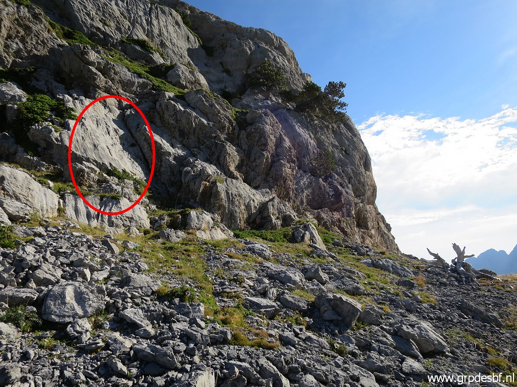
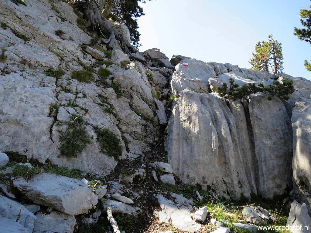
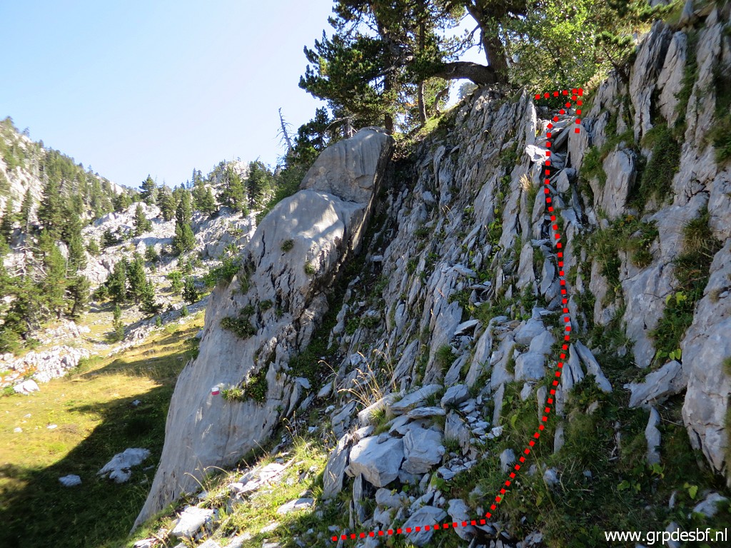 | From the 'turn left' waymark, you have to climb this rock wall. (click photo to enlarge) |
 | Not too difficult but from it's foot it is not that clear that you have to climb it. (click photo to enlarge) |
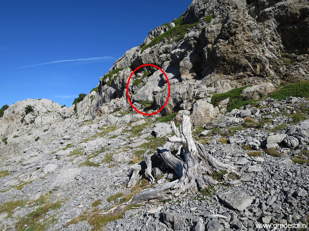
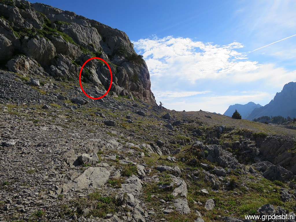
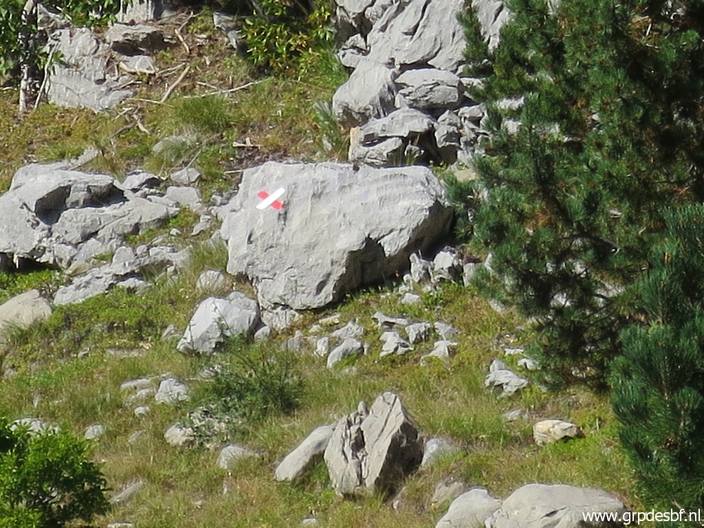
 | But higher on the rock wall, there is a waymark. In the background the 'don't go this way' cross. (click photo to enlarge) |
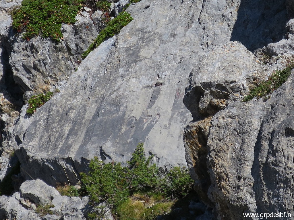
 | Zoom-in to that cross. (click photo to enlarge) |
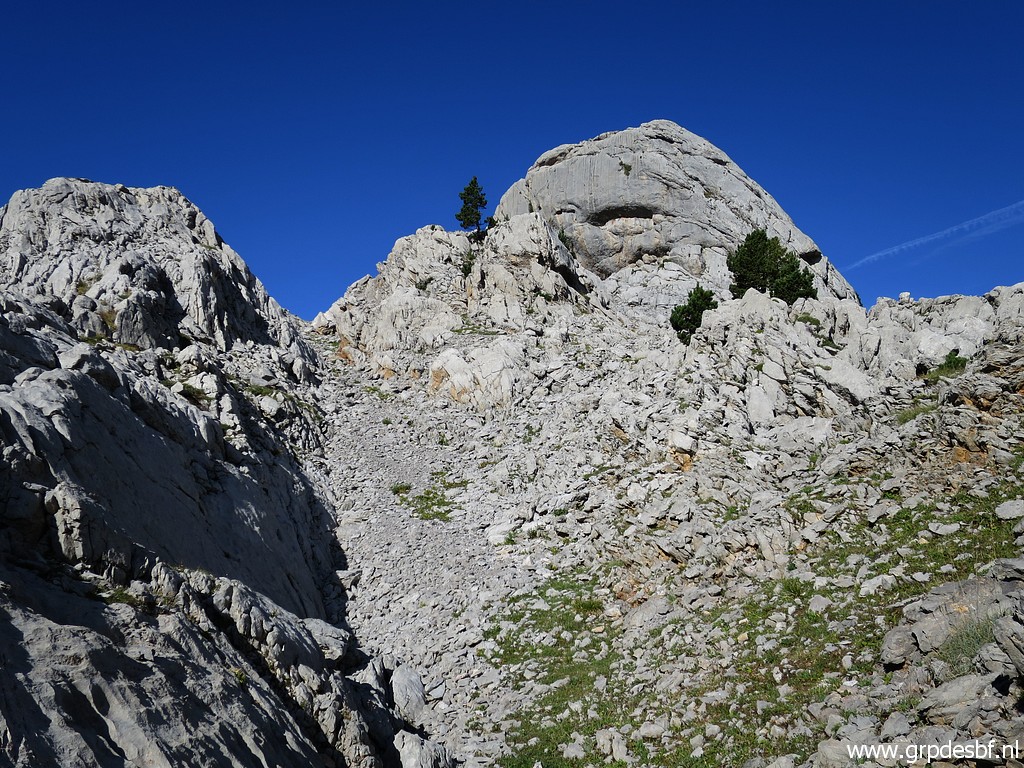
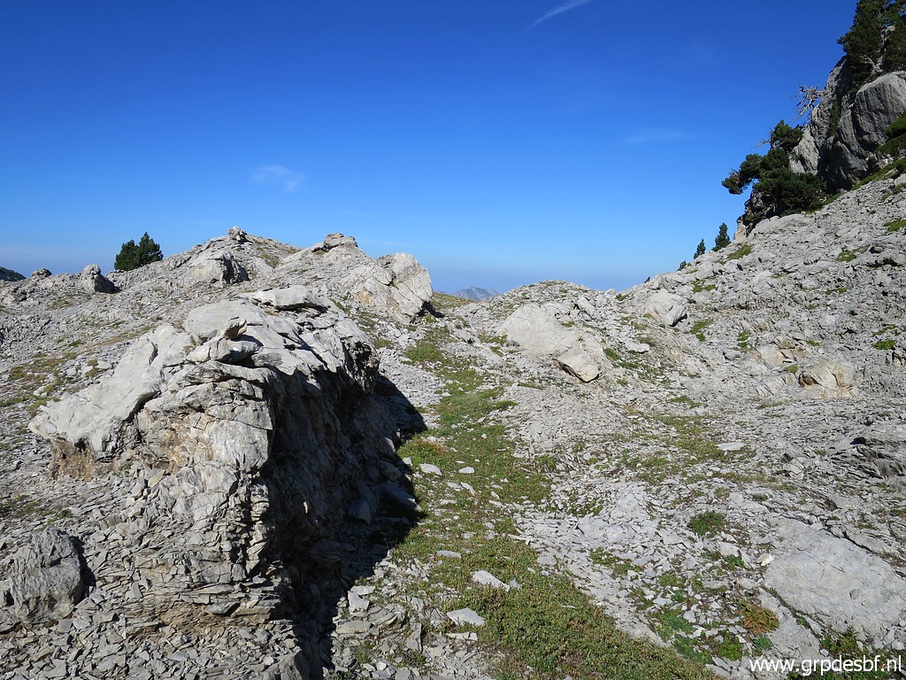
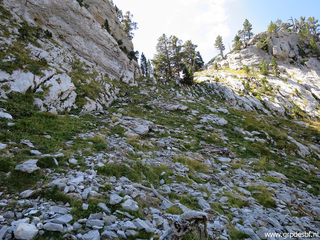
 | The trail continues at a higher level, (click photo to enlarge) |
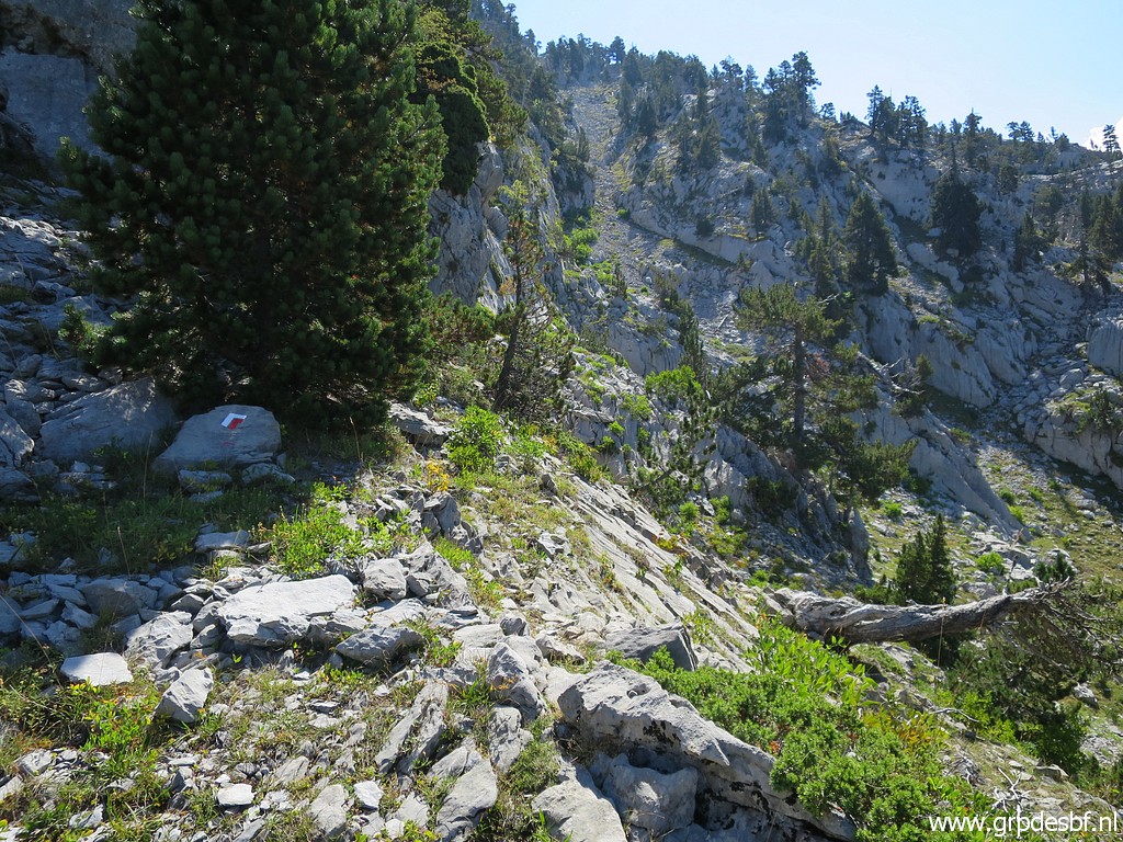 | which is quite rocky. This is a part where I had to look carefully for the waymarks. In foggy / rainy weather navigating can get difficult here. (click photo to enlarge) |
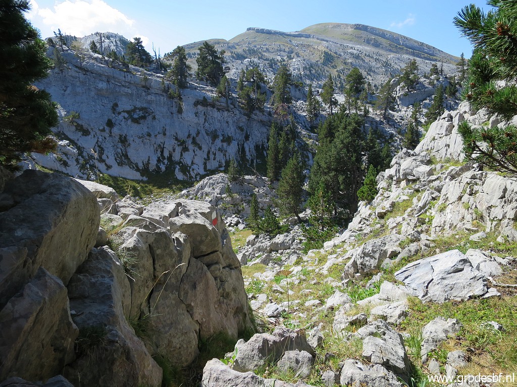
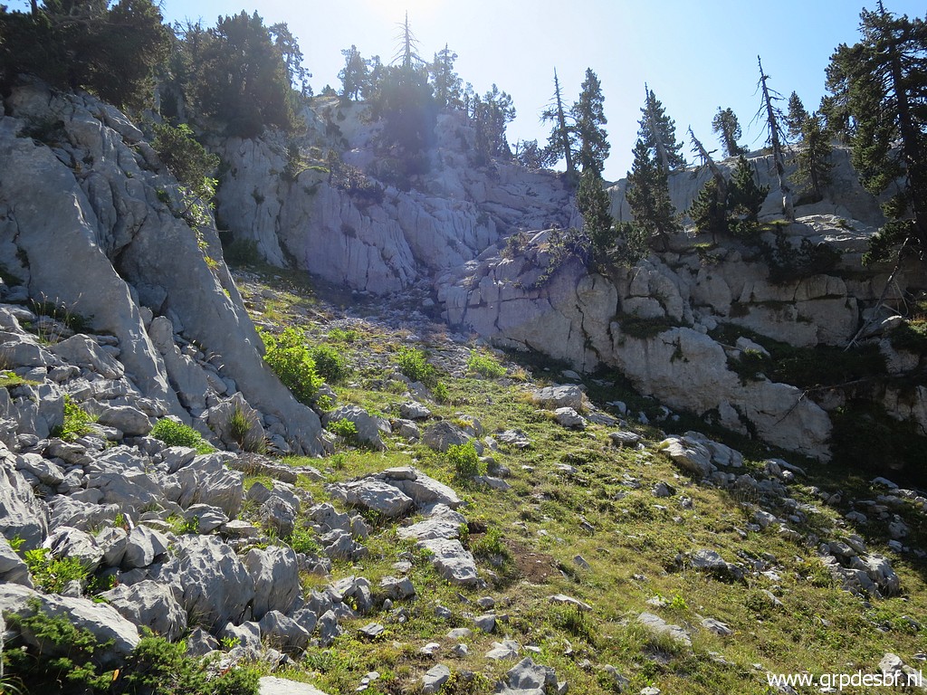 | Continuing (click photo to enlarge) |
 | and arriving at another climb. (click photo to enlarge) |
 | I think that this is the Portiella de Larra. (click photo to enlarge) |
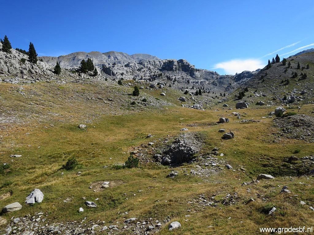
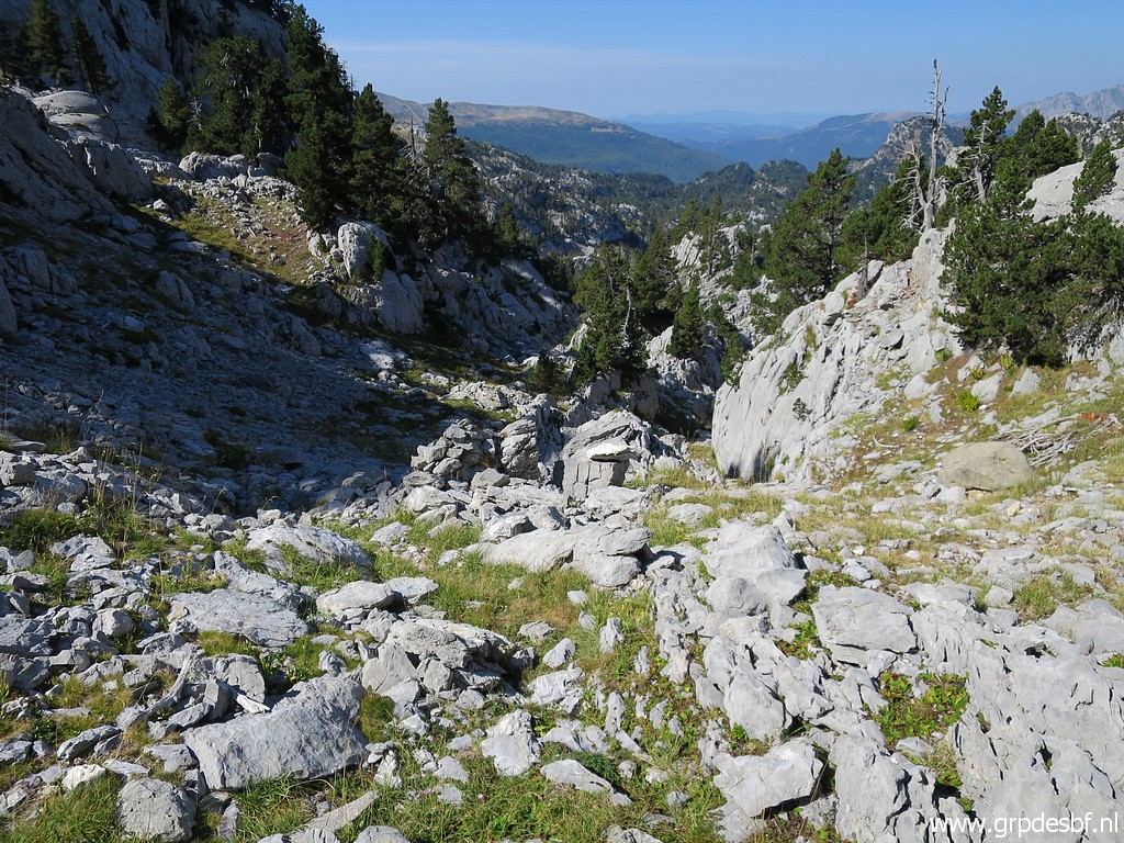
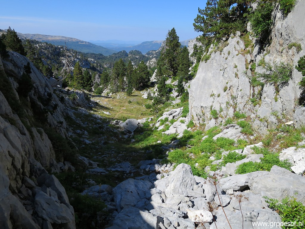
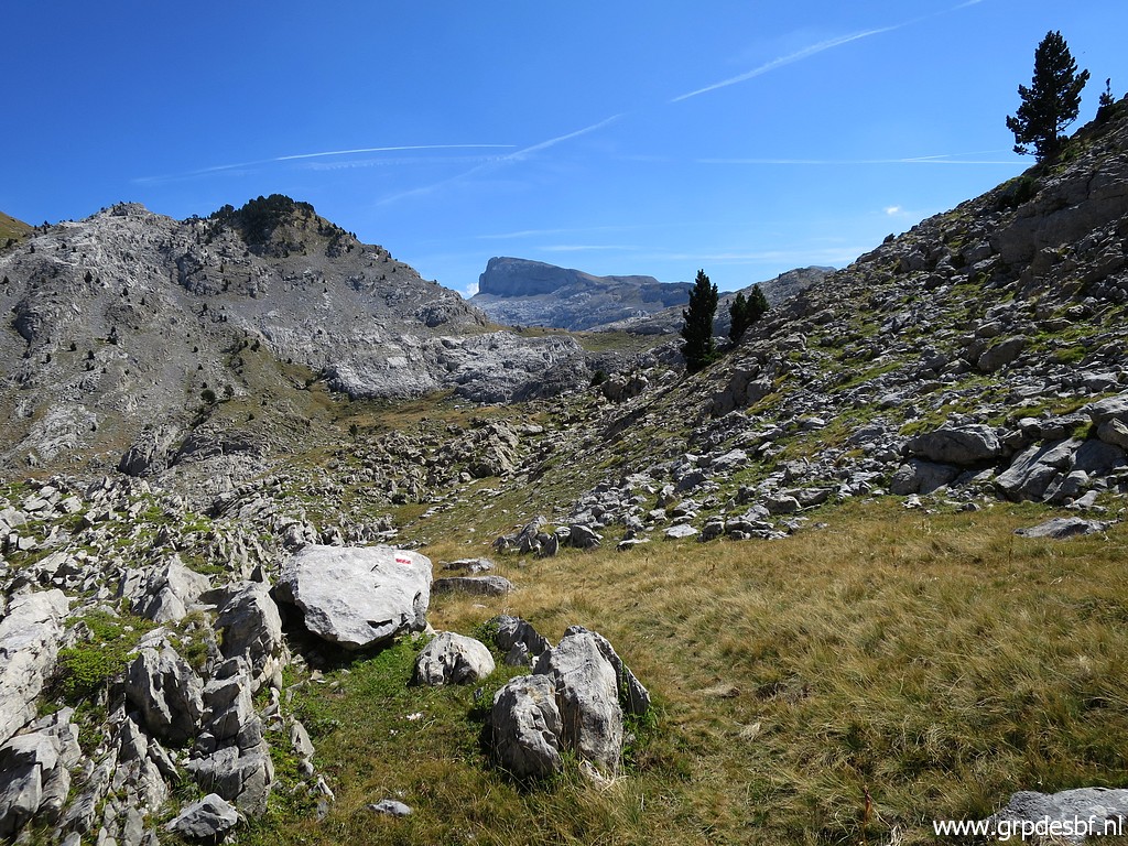
 | From that pass I descend (click photo to enlarge) |
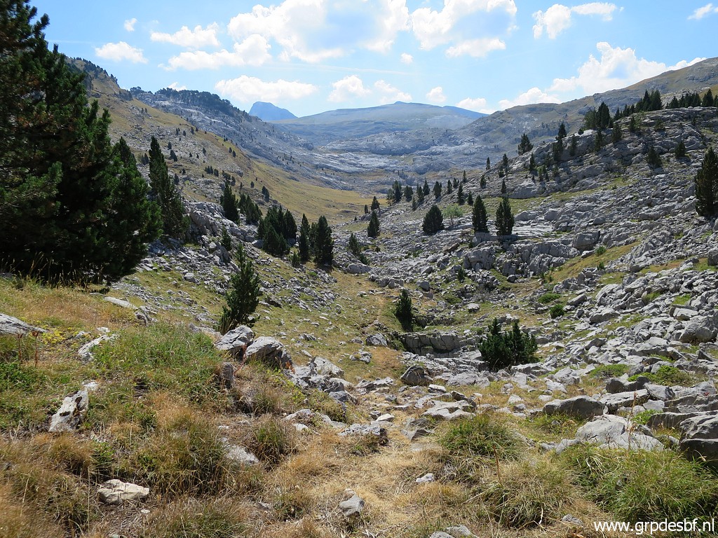 | to more open & flat & easy terrain. (click photo to enlarge) |
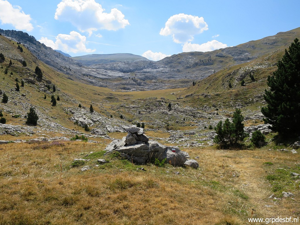 | Along the path I arrive (click photo to enlarge) |
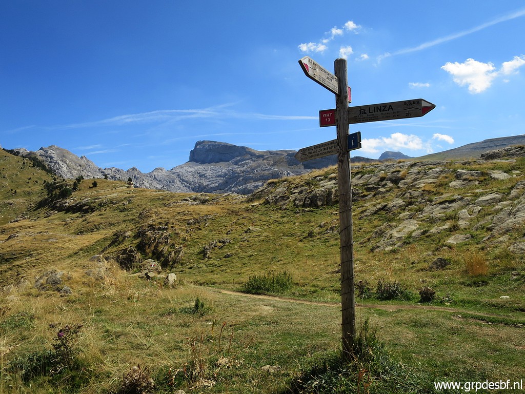
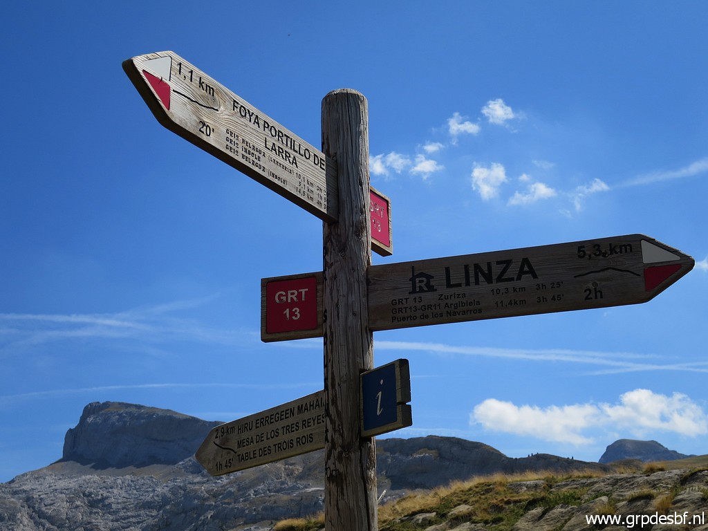
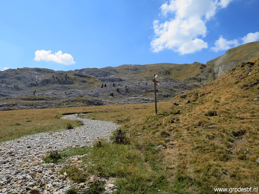 | at a signpost. (click photo to enlarge) |
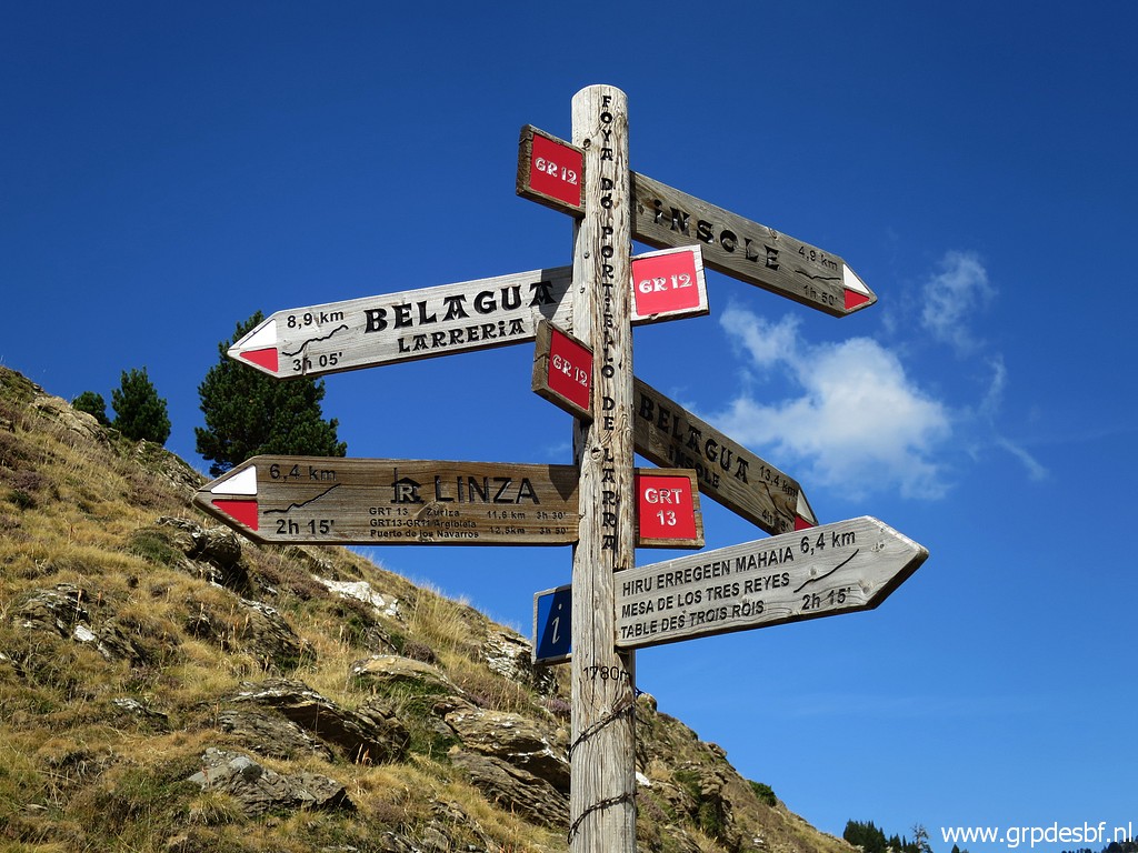 | I have to continue at the GRT 13 to Linza. It is 13:30. From bm272 it takes ± 2,5 hours to get here. I take a half hour break, having an energy dip. It is warm. At 14:00 starting again. (click photo to enlarge) |
 | I proceed (click photo to enlarge) |
 | along the waymarked trail (click photo to enlarge) |
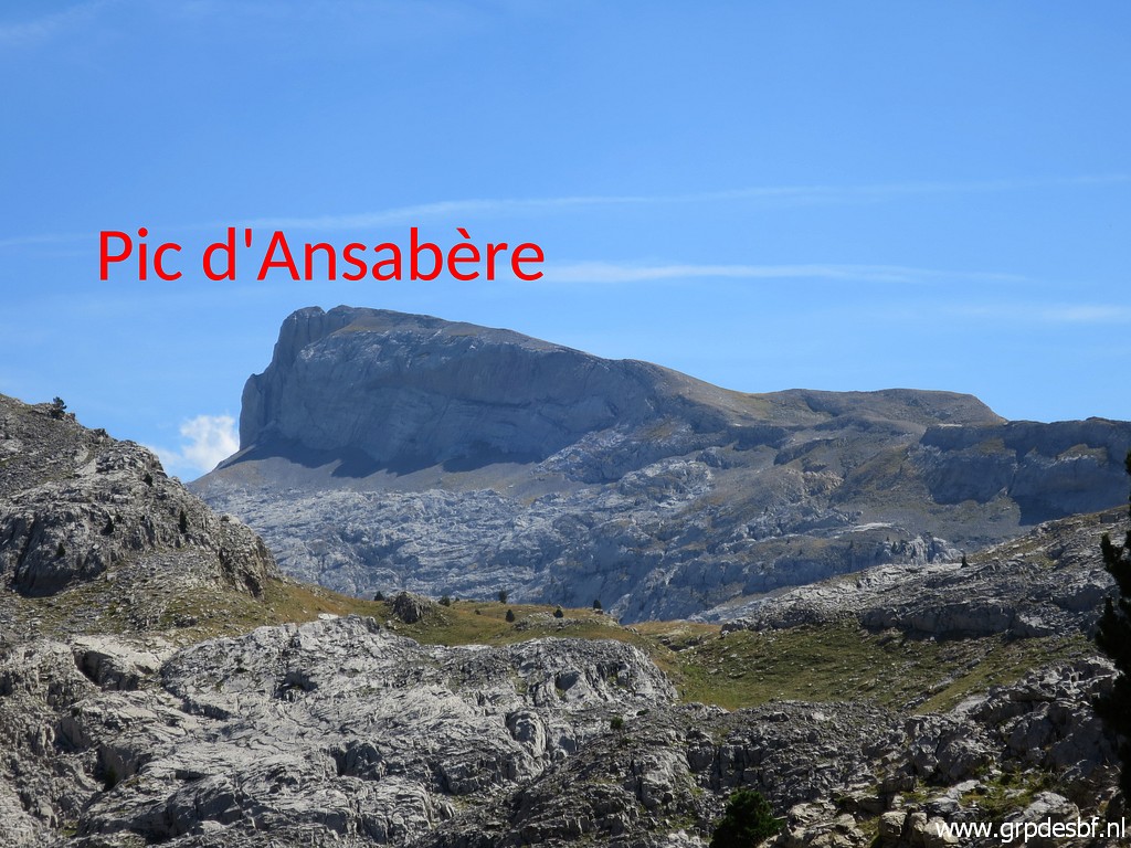 | with Pic d'Ansabère in the far distance. (click photo to enlarge) |
 | Another waymark. This is a popular walking area. (click photo to enlarge) |
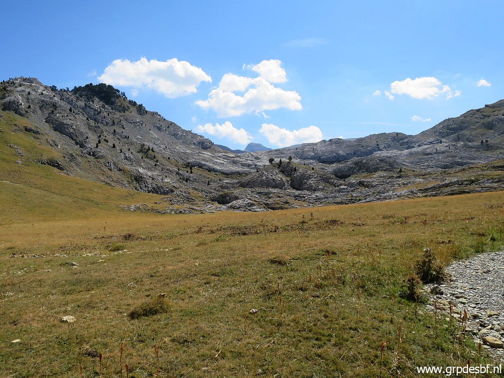
 | I continue at the Linza-trail (click photo to enlarge) |
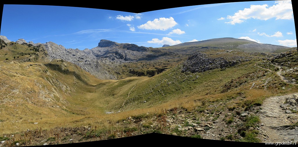 | which circumvents a valley (click photo to enlarge) |
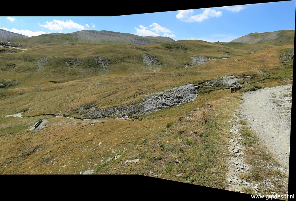 | and passes a source or cattle water supply in the valley. (click photo to enlarge) |
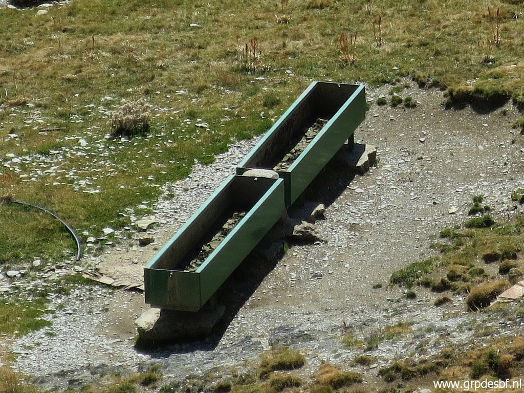 | But it is dry ..... Lesson: fill your water bottles at Sources de Marmitou well. Don't rely on this source between bm272 and 273. I am happy that I collected 3 liters of water at the Sources de Marmitou. (click photo to enlarge) |
 | And also the stream feeding the cattle water supply is dry. (click photo to enlarge) |
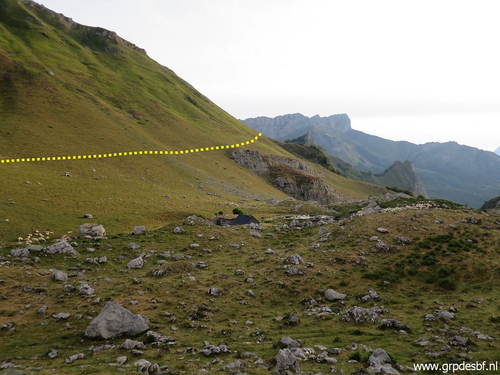
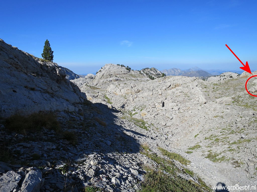
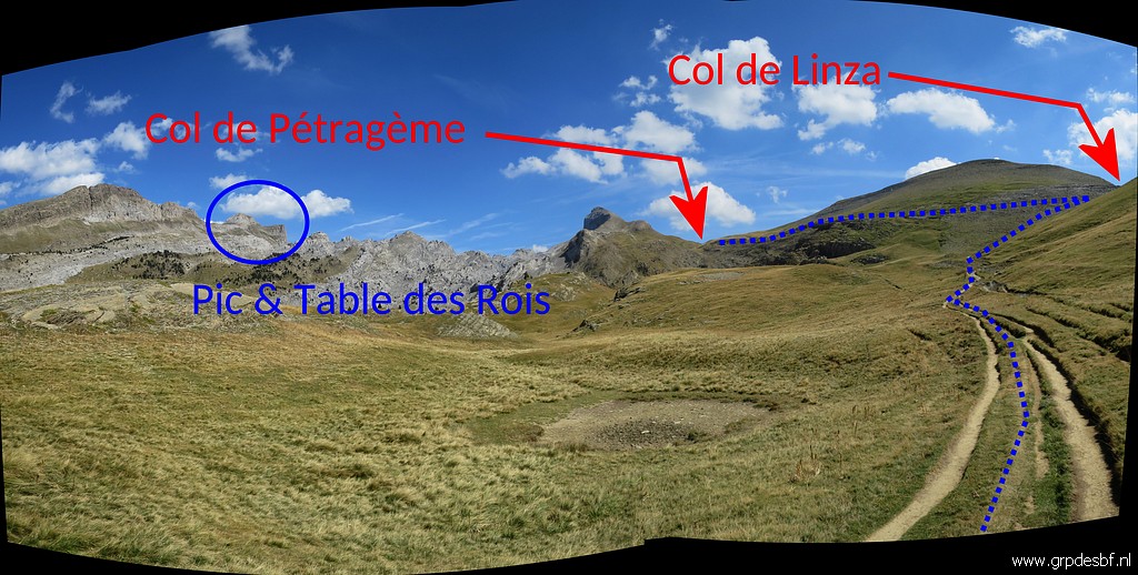 | The trail heads to Col de Linza. At Col de Linza I will leave the waymarked trail and go further on trails to Col de Pétragème (bm273). (click photo to enlarge) |
 | Zoom-in to the Pic and Table des Trois Rois. (click photo to enlarge) |
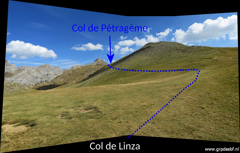 | Having arrived at Col de Linza where I leave the red-white trail and now head towards Col de Pétragème. I am getting tired, perhaps getting dehydrated. (click photo to enlarge) |
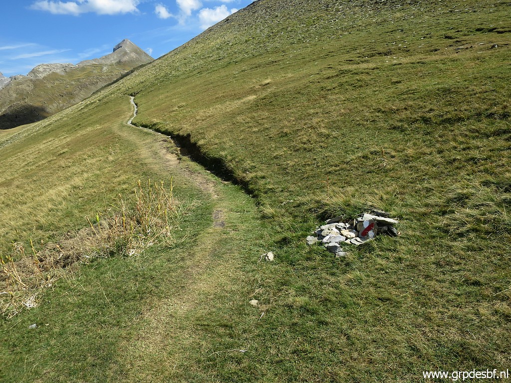 | It is a distinct track but not waymarked. (click photo to enlarge) |
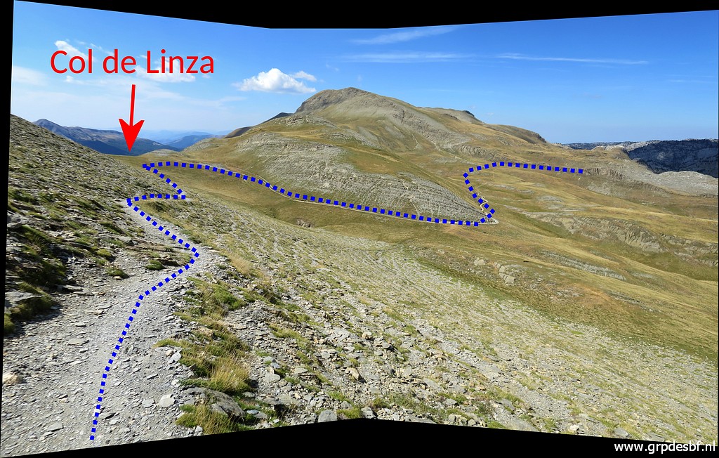 | Looking back to Col de Linza. (click photo to enlarge) |
 | I can't go wrong now. (click photo to enlarge) |
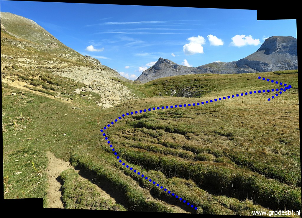 | But at this point I have to make a kind of zigzag change of directions. First 250m to the SW (click photo to enlarge) |
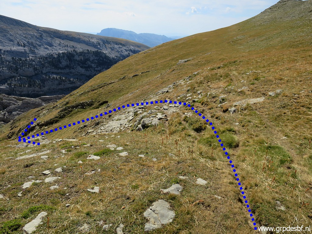 | and then descending SEE to a lower level. (click photo to enlarge) |
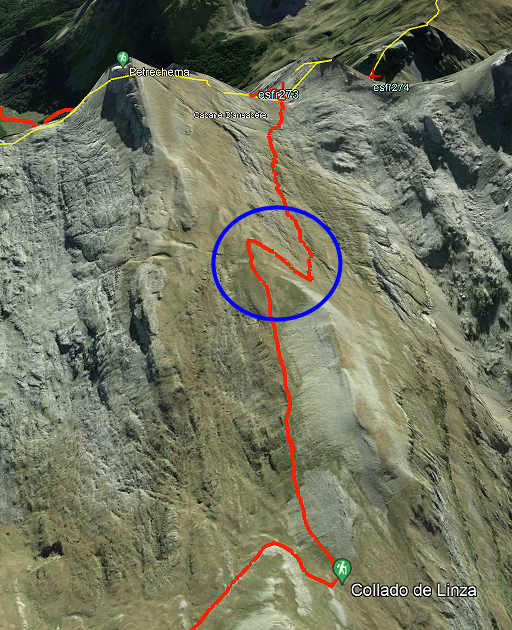 |
Let's show that on a Google Earth-screenshot. |
 | The track has become vague but in general sufficient enough. The direction to Col de Pétragème is crystal clear. (click photo to enlarge) |
 | Arriving at Col de Pétragème (click photo to enlarge) |
 | with bm273. It's 16:15. From the signpost where I took a break, I needed 2:15 hours to get here. So all together it has taken me (without breaks) 4:45 hours to hike from bm272 to bm272. From Sources de Marmitou it took 5,5 hours. (click photo to enlarge) |
 | Bm273 (click photo to enlarge) In comparison: the more straight north-to-south connection I did on 13-9-2020 from Sources de Marmitou via Col des Ourtets to bm273 took me ± 4:30 hours. So the route of today takes 1 hour extra. But the route of today is mostly waymarked. AND it passes bm272. So you don't need an extra hence & forth trip to do bm272. Final verdict: today's route is the winner. |
 | Bm273 (click photo to enlarge) |
 | Bm273 (click photo to enlarge) |
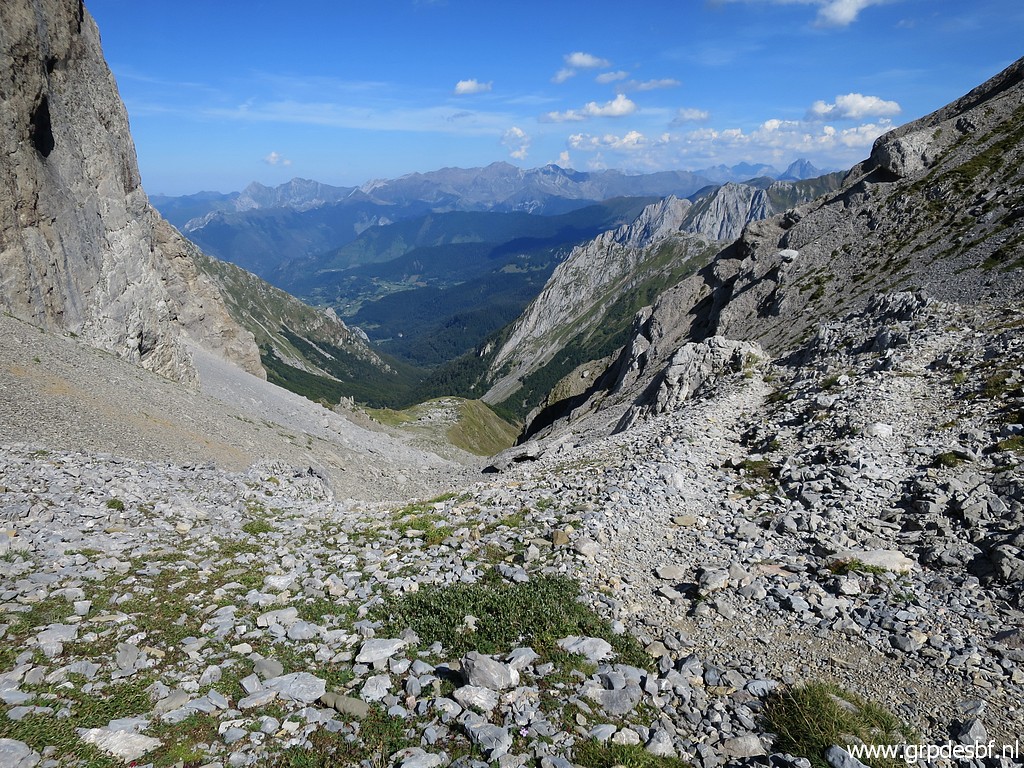 | Then descending into France, first along an annoying slippery path (click photo to enlarge) |
 | and then along the hillside (click photo to enlarge) |
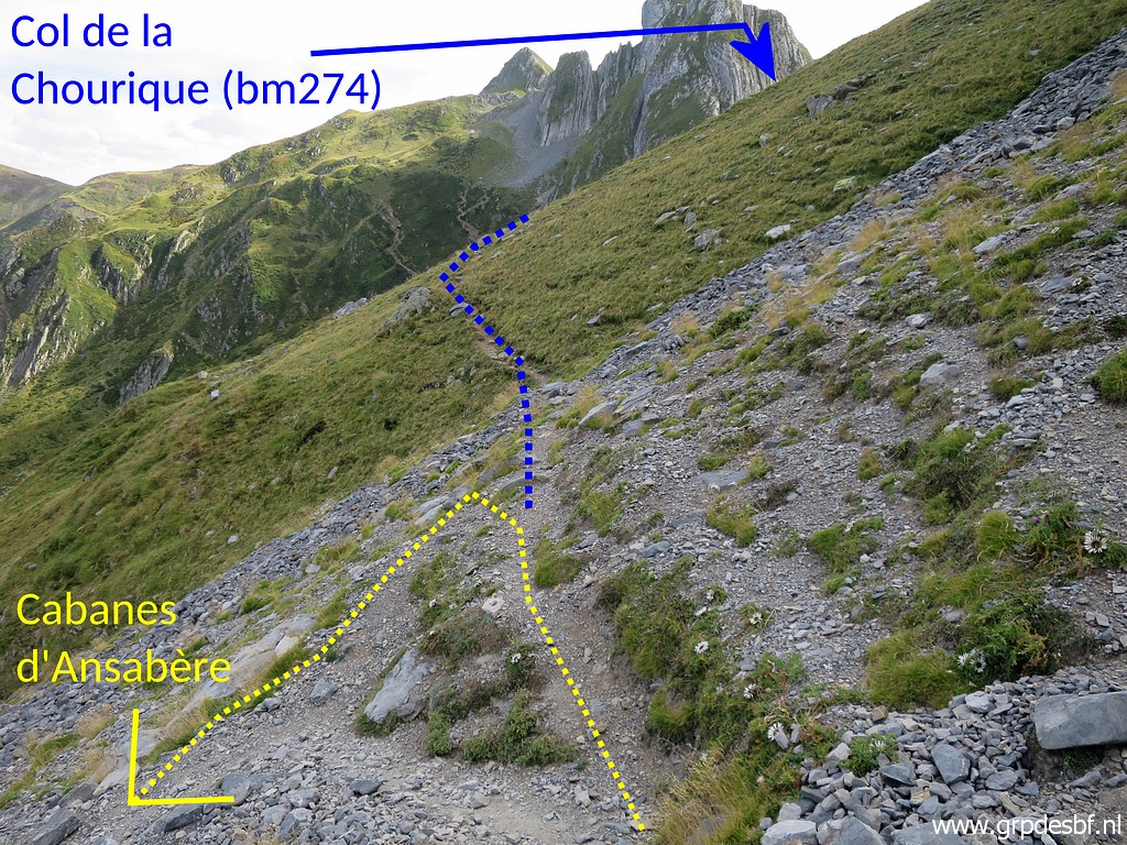 | until this bifork. I turn left towards Cabanes d'Ansabère. That trail is yellow waymarked (click photo to enlarge) |
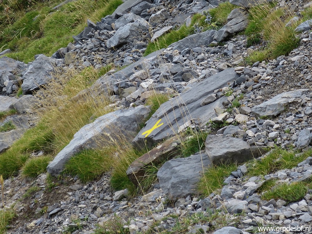 | and this cross prevents you from continuing to Col de la Chourique. (click photo to enlarge) |
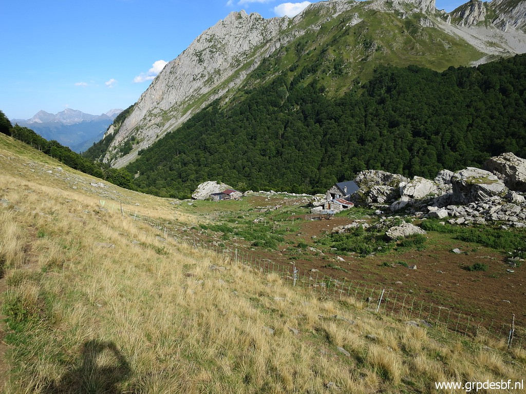 | Cabanes d'Ansabère (click photo to enlarge) |
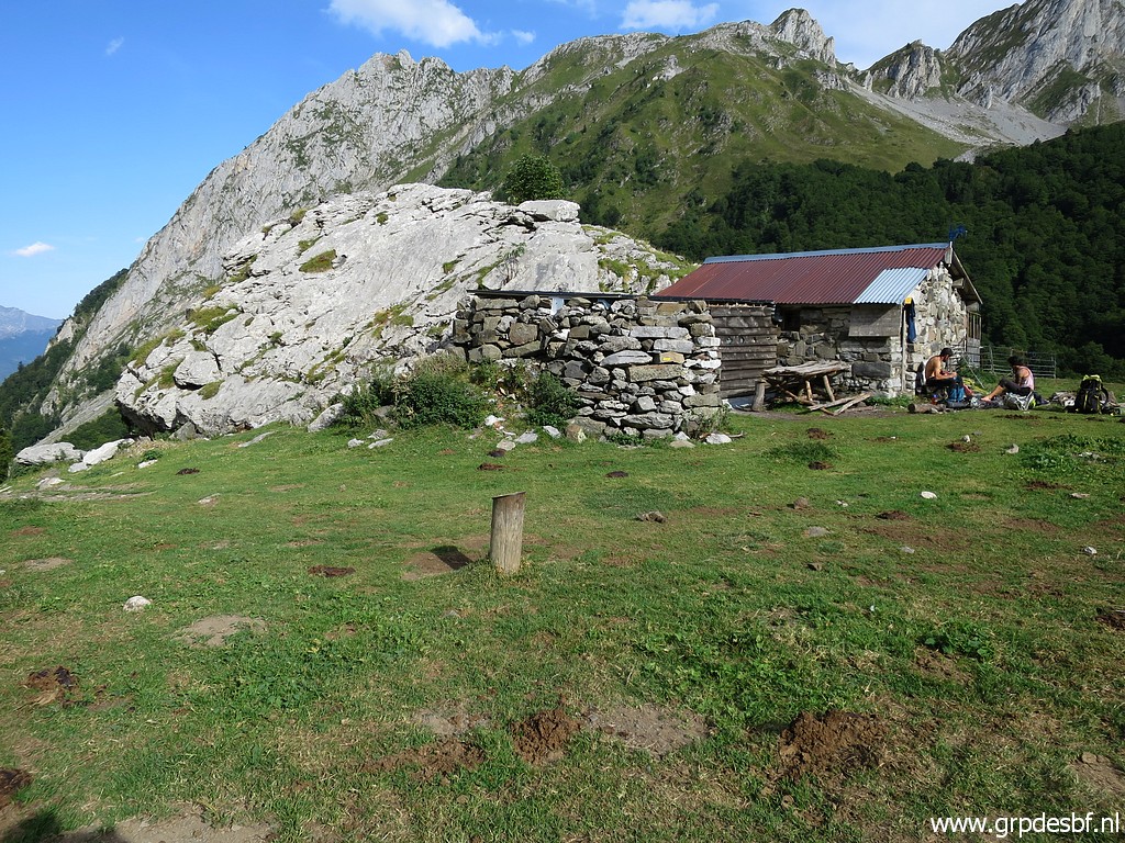 | with a hiker's cabin. (click photo to enlarge) |
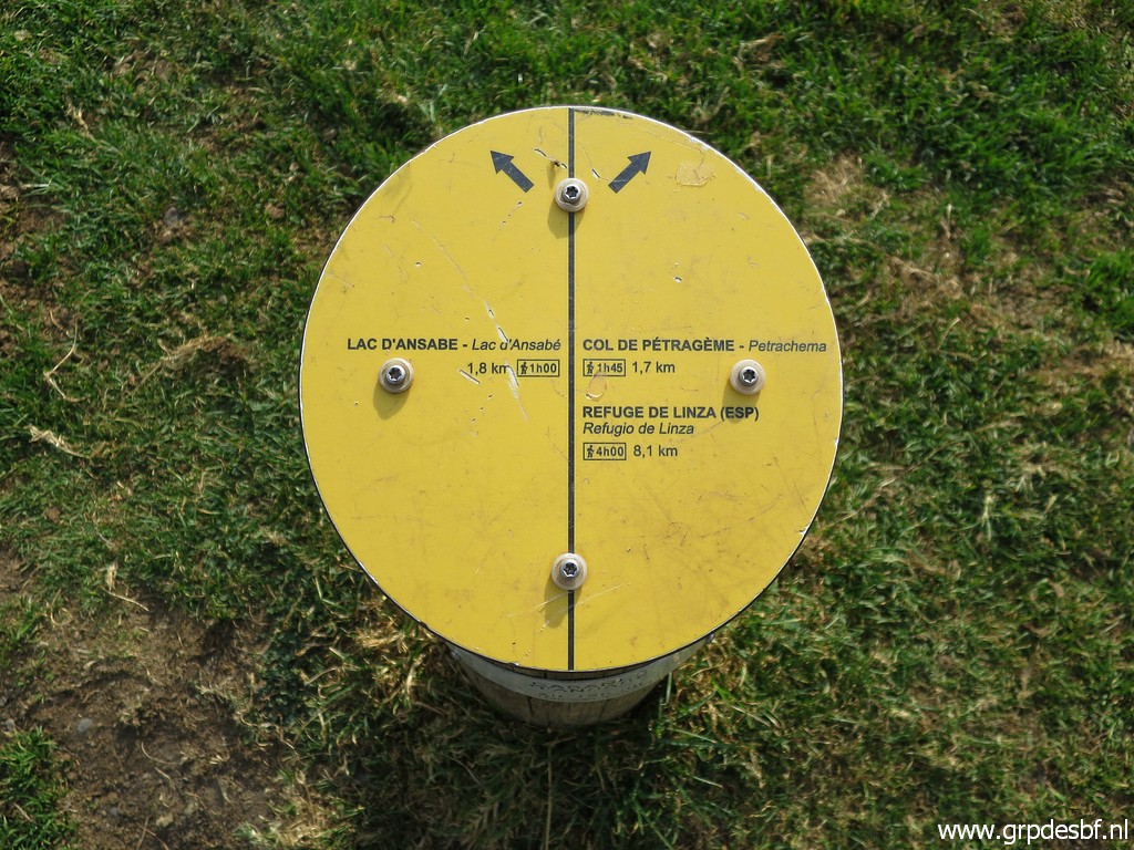 | Waysign (click photo to enlarge) |
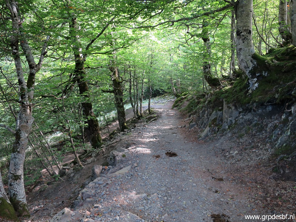 | From the Cabanes d'Ansabère it's a long way downhill (click photo to enlarge) |
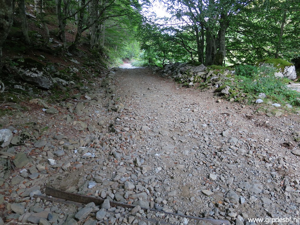 | along this dirtroad. Much longer than I remembered. In fact the whole part from bm273 back to my car was far longer than expected: 12km and 4,5 hours. (click photo to enlarge) |
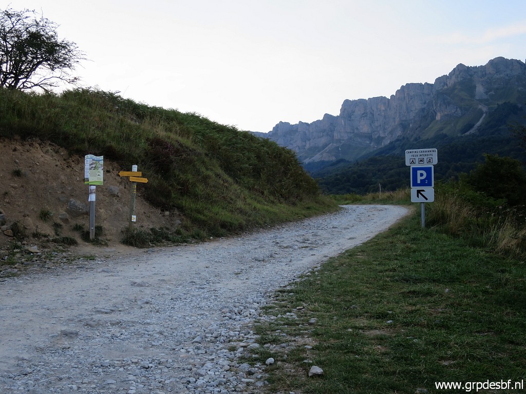 | When I reach the tarmac road, it's another 5 kilometer to Plateau de Sanchèse. First on tarmac roads until this access road to Plateau de Sanchèse. (click photo to enlarge) |
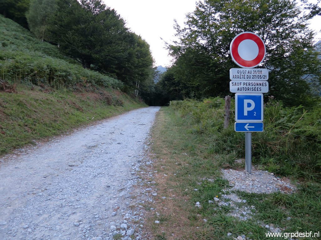 | I now read that the road is forbidden in high summer. (click photo to enlarge) |
 | In the dusk I arrive 20:45 at my car. Exhausted. This was without doubt my longest hike ever in the Pyrenees. Quickly pitching my tent and cooking my pasta dinner in the dark. I am so tired that I takes an effort to eat. I'm even too tired to smoke a cigar. My new Garmin Forerunner 245 watch shows a 'body battery' of 5% left. The next morning it's still 5%. I drive to the camping of Urdos for a day of rest & recovering. (click photo to enlarge) |