|
The
bordermarkers of the Pyrenees : all my trips
 |
|
| -
wednesday 13 april
2022 - Redoing bm174-185, bm180 also with Carlos & Conchita |
 |
 |
Summary:
part of a series of 10 daytrips in april 2022 in the Basque country,
mainly redoing bm085 to 197. This is day 5. Today: redoing bm174 to bm185 in a 8-shaped route. At the end: redoing bm180 for a second time together with Carlos & Conchita. Weather: slightly overcast, nice for walking Basecamp: camping Irouleguy in Saint-Étienne-de-Baïgorry. The part with Carlos & Conchita also to be seen on their website. |
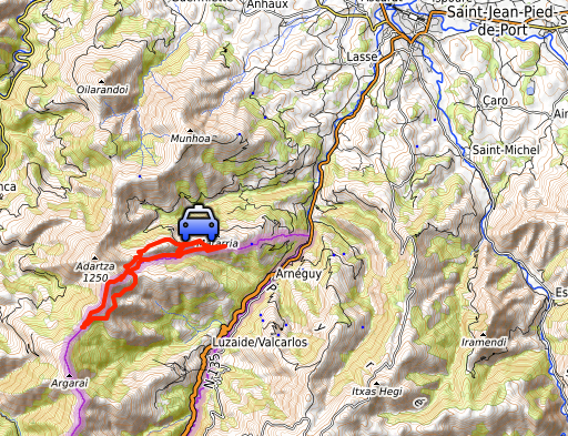
 track-20220413.kml
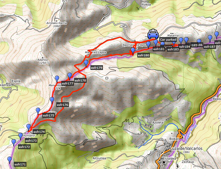
(click to open this trip in Google Earth or copy link to Google Maps; click right on this link to download gpx-version). The gps-track has not been manually corrected which explains the inaccuracy and misalignment at some points. For cartographic backgrounds: see the cartography-page Gps-waypoints of all bordermarkers (most recent version): kml: esfr-bordermarkers-all-waypoints.kml gpx: esfr-bordermarkers-all-waypoints.gpx (with elevation added by gpsvisualizer.com) |
|
 |
According to Garmin
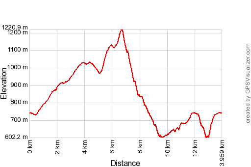
Basecamp (uncorrected track with elevation added by Gpsvisualizer.com): Distance: 14,0km Max-height: 1221m Min-height: 602m Elevation: +1166m -1166m Total elevation: 2332m Start 9:22 Finish 16:52 Total time: 7:31 |
 | After navigating on narrow & winding roads uphill, I park my car. My first target: bm174 at the other side of the hill ridge in the background. (click photo to enlarge) |
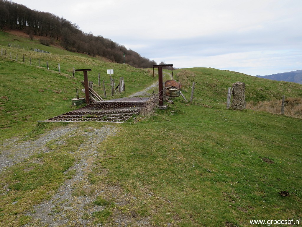
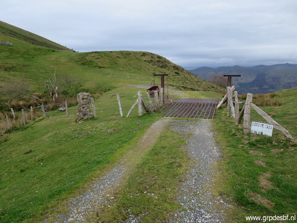
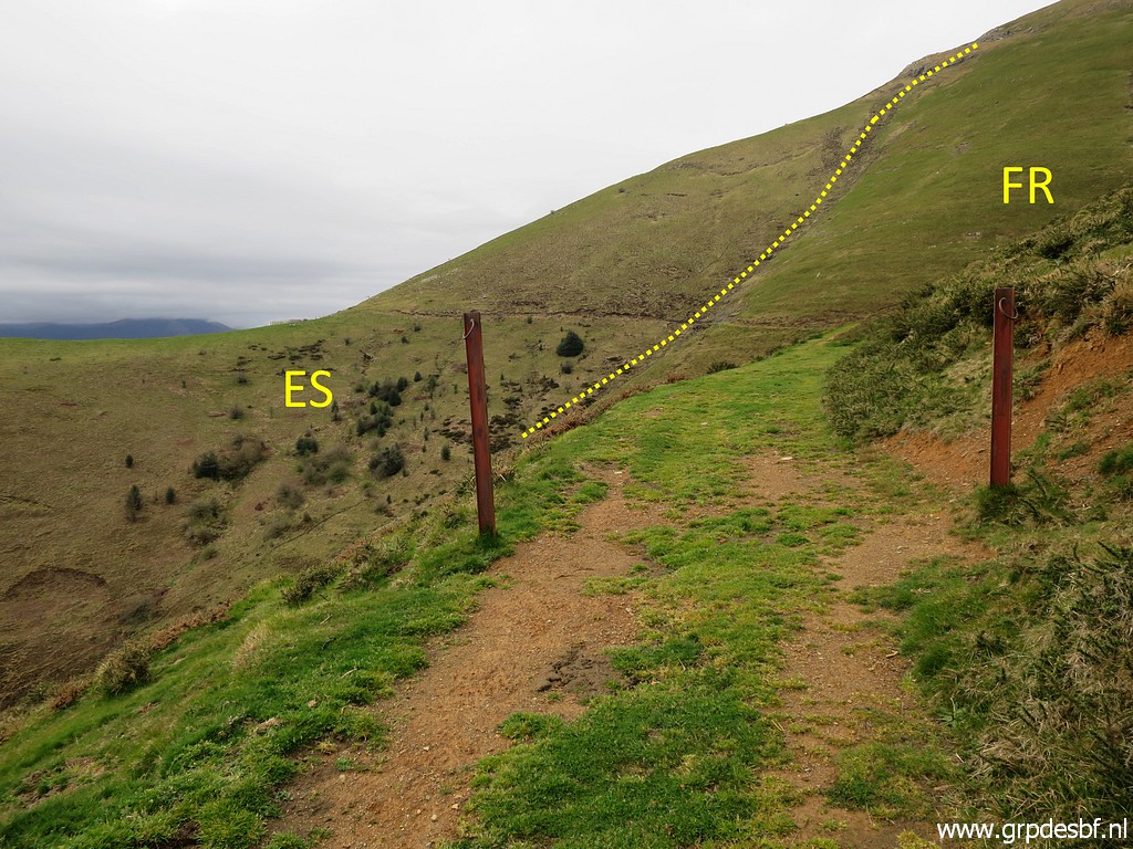 | That involves crossing the border on a dirtroad. (click photo to enlarge) |
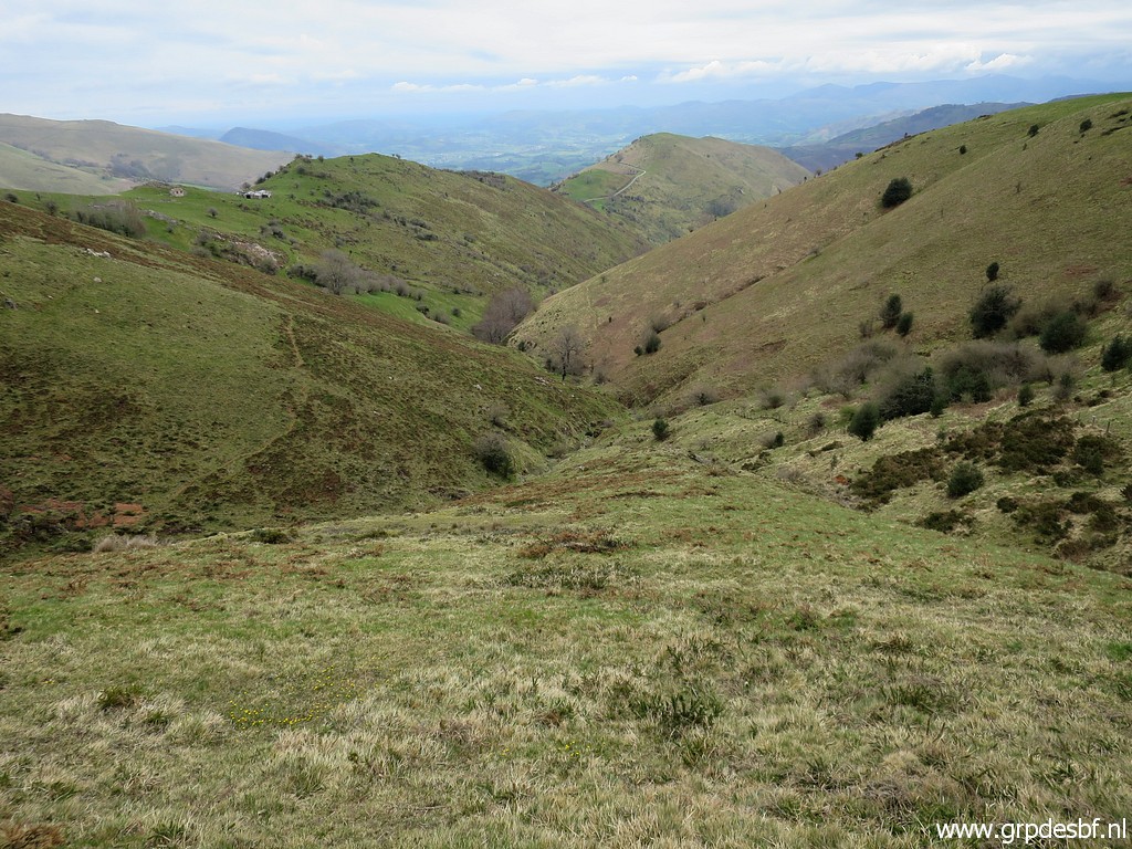
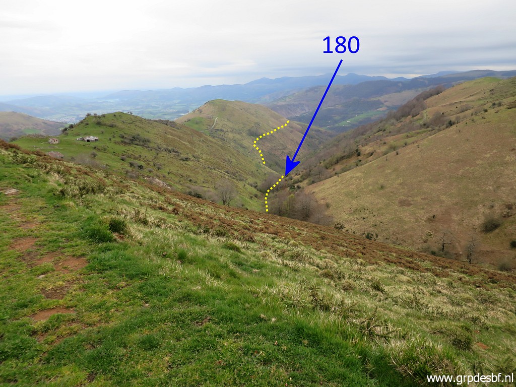 | A view back and an indication of bm180 in the deep of the valley. But that's for later. (click photo to enlarge) |
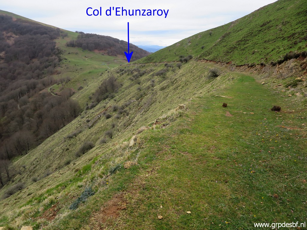 | At the Spanish side the dirtroad curves to Col d'Ehunzaroy. (click photo to enlarge) |
 | That's here with bm174 to the right. (click photo to enlarge) |
 | Bm174 from the other side. (click photo to enlarge) |
 | Bm174 (click photo to enlarge) |
 | Bm174 (click photo to enlarge) |
 | Bm174, to the left the fence which is the borderline uphill. Now going back, this time along the border, picking up the fence after a half circle on the Spanish side. (click photo to enlarge) |
 | Halfway uphill: bm175. (click photo to enlarge) |
 | Bm175 (click photo to enlarge) |
 | Bm175 (click photo to enlarge) |
 | Bm175 (click photo to enlarge) |
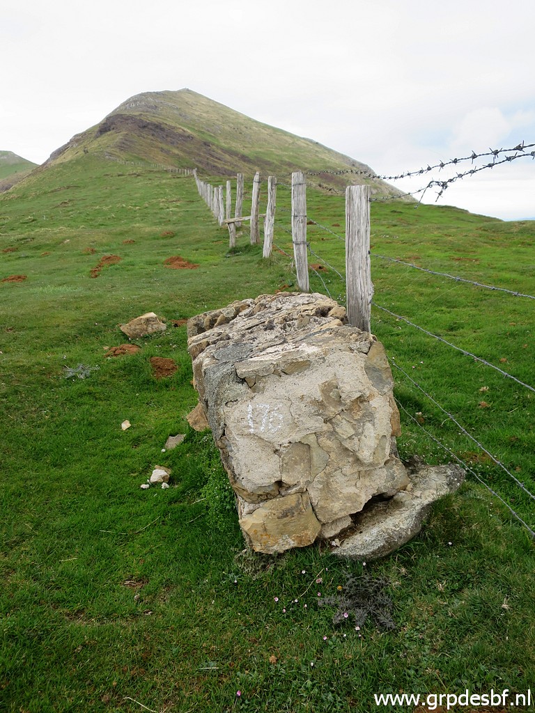
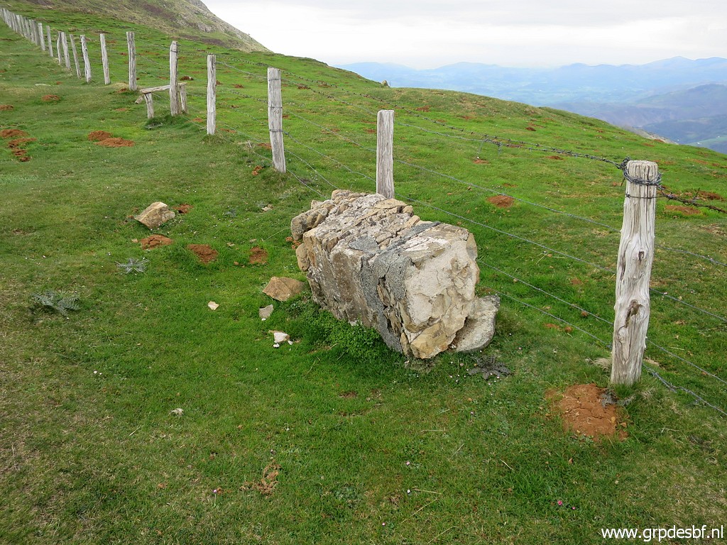 | Further on: bm176. (click photo to enlarge) |
 | Bm176 (click photo to enlarge) |
 | Bm176 (click photo to enlarge) |
 | The last part to the summit is rocky. (click photo to enlarge) |
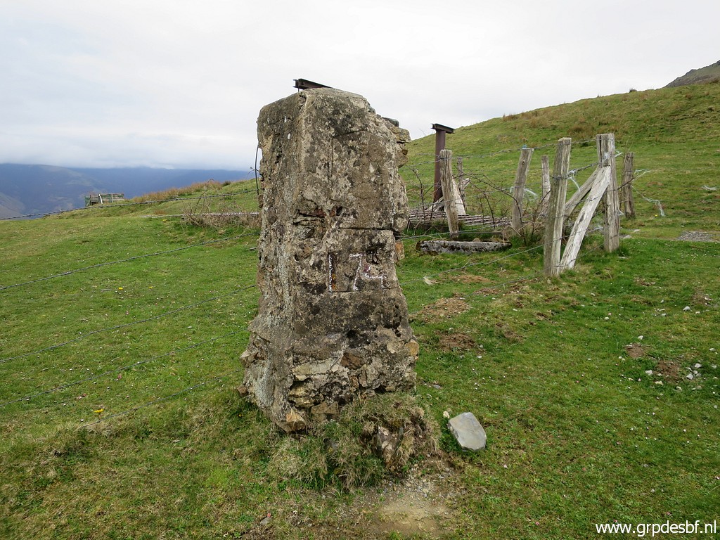
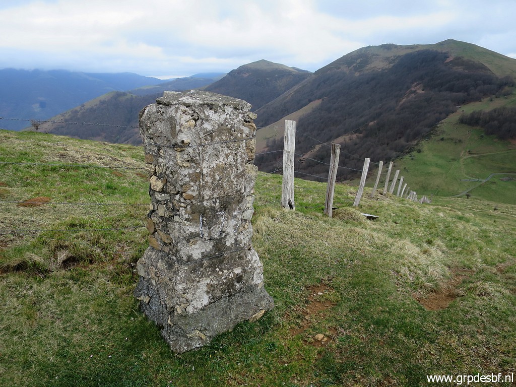
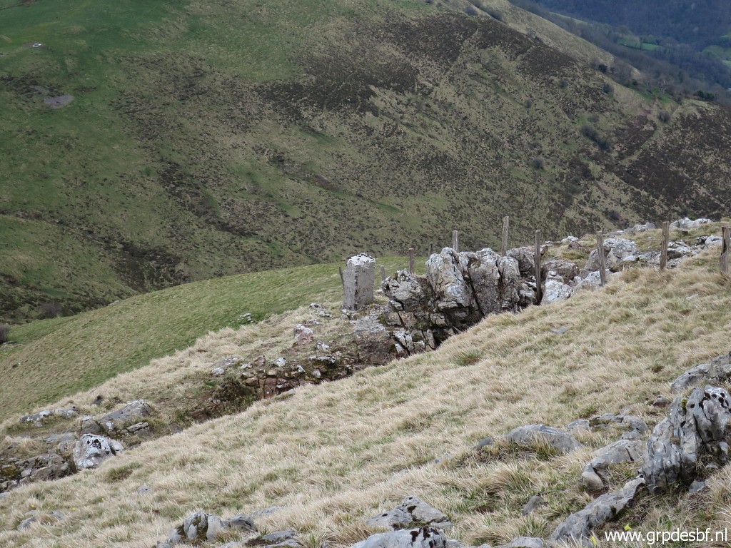
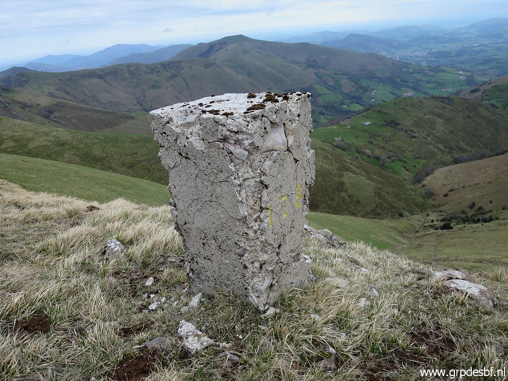
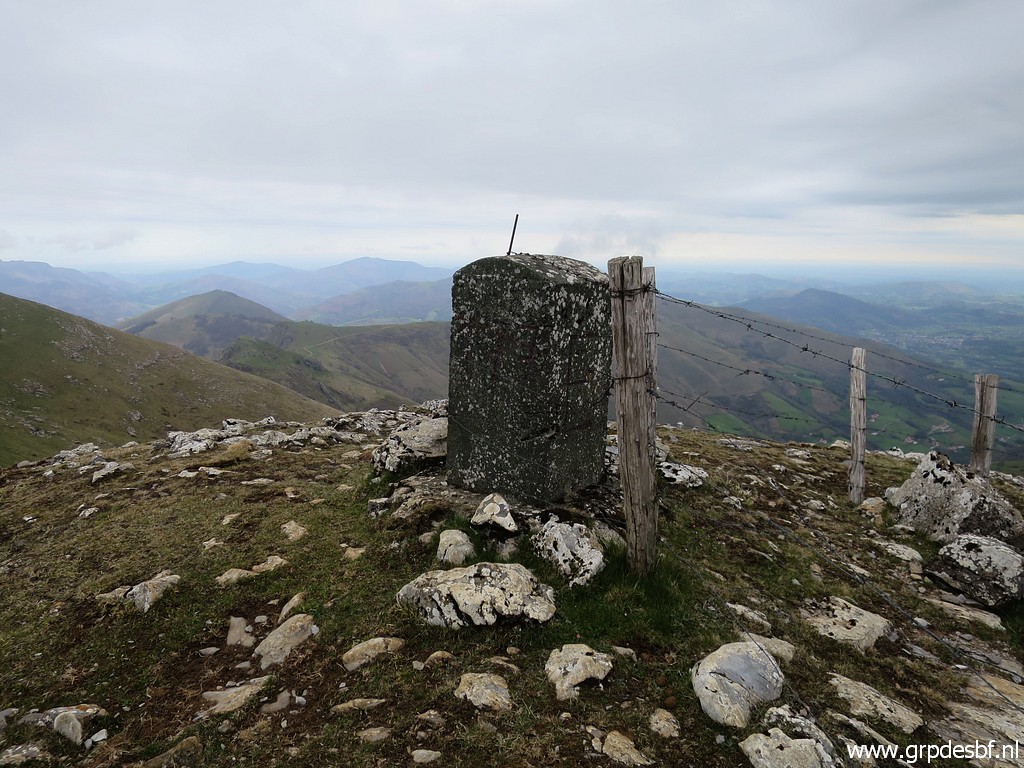 | At the top: bm177. (click photo to enlarge) |
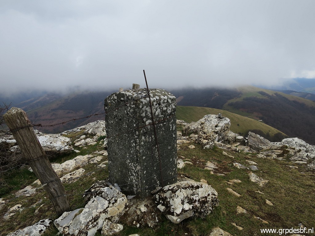 | Bm177 (click photo to enlarge) |
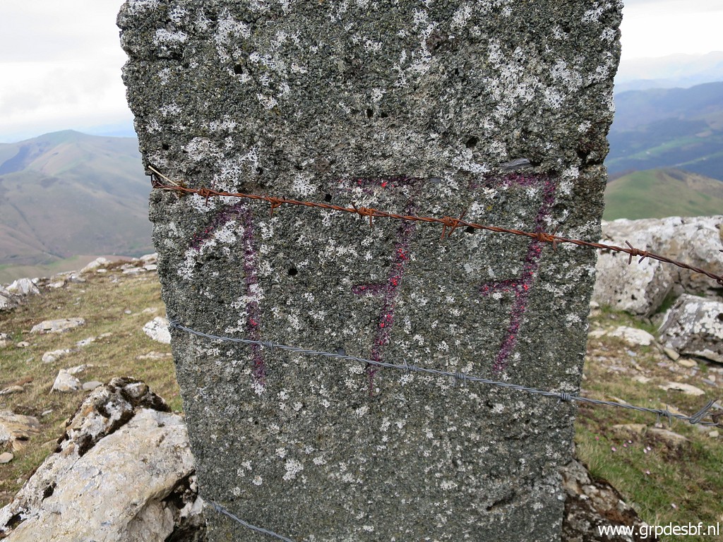 | Bm177 (click photo to enlarge) |
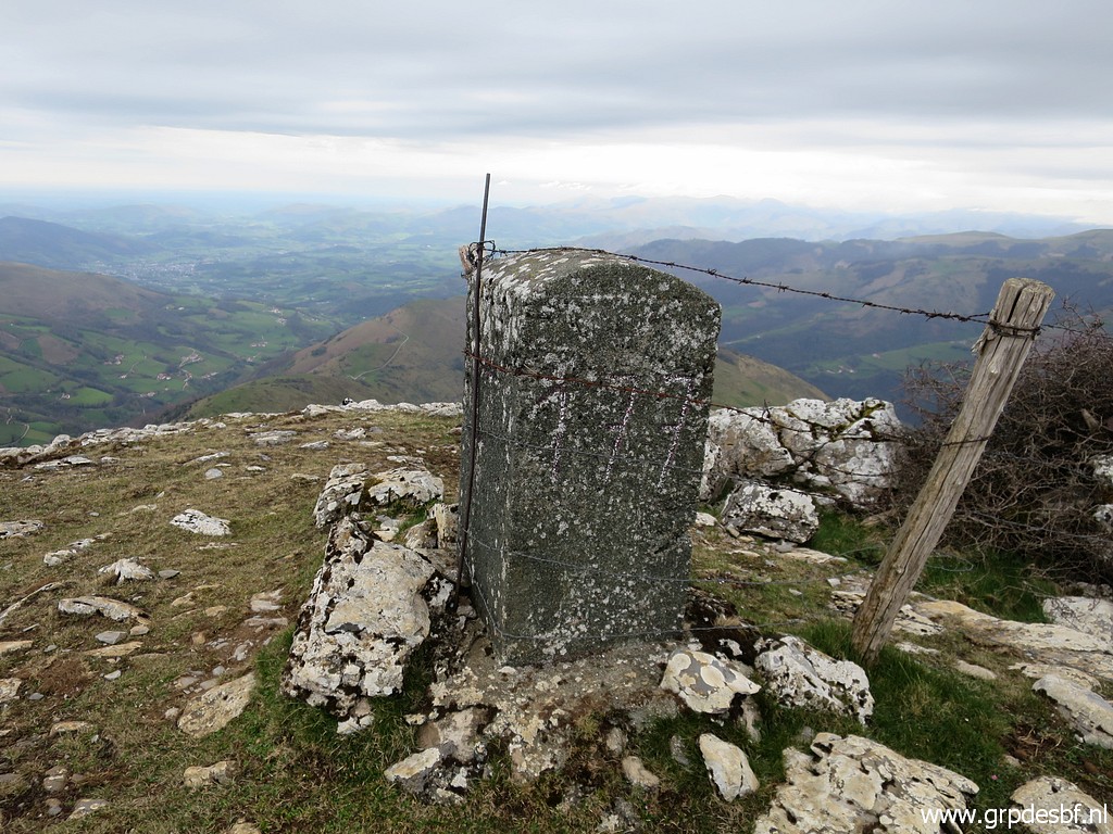 | Bm177 (click photo to enlarge) |
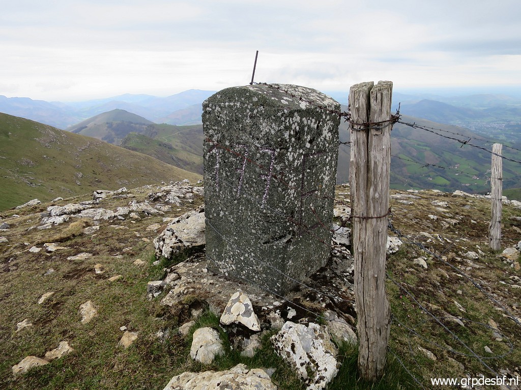 | Bm177 (click photo to enlarge) |
 | Bm177 (click photo to enlarge) |
 | Bm177 (click photo to enlarge) |
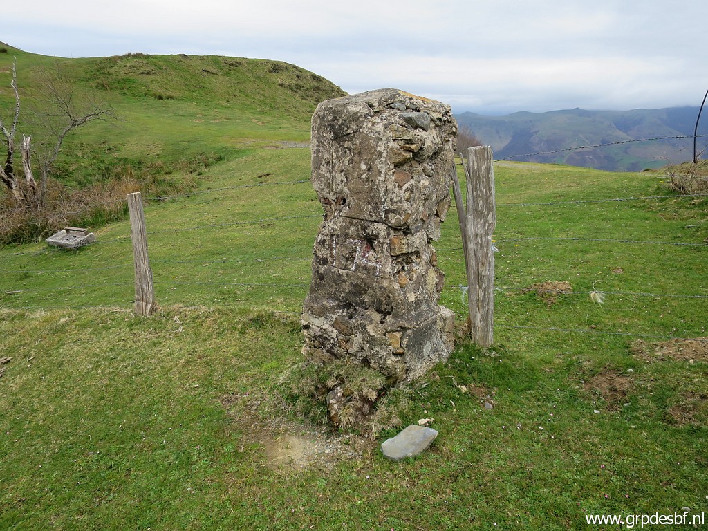
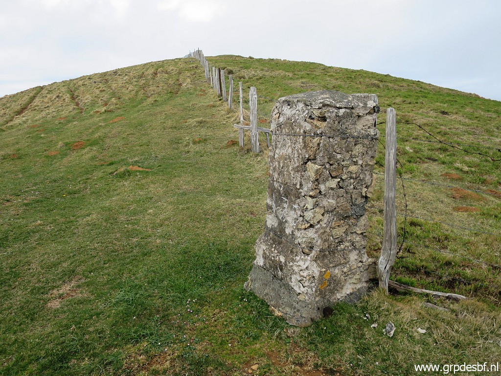
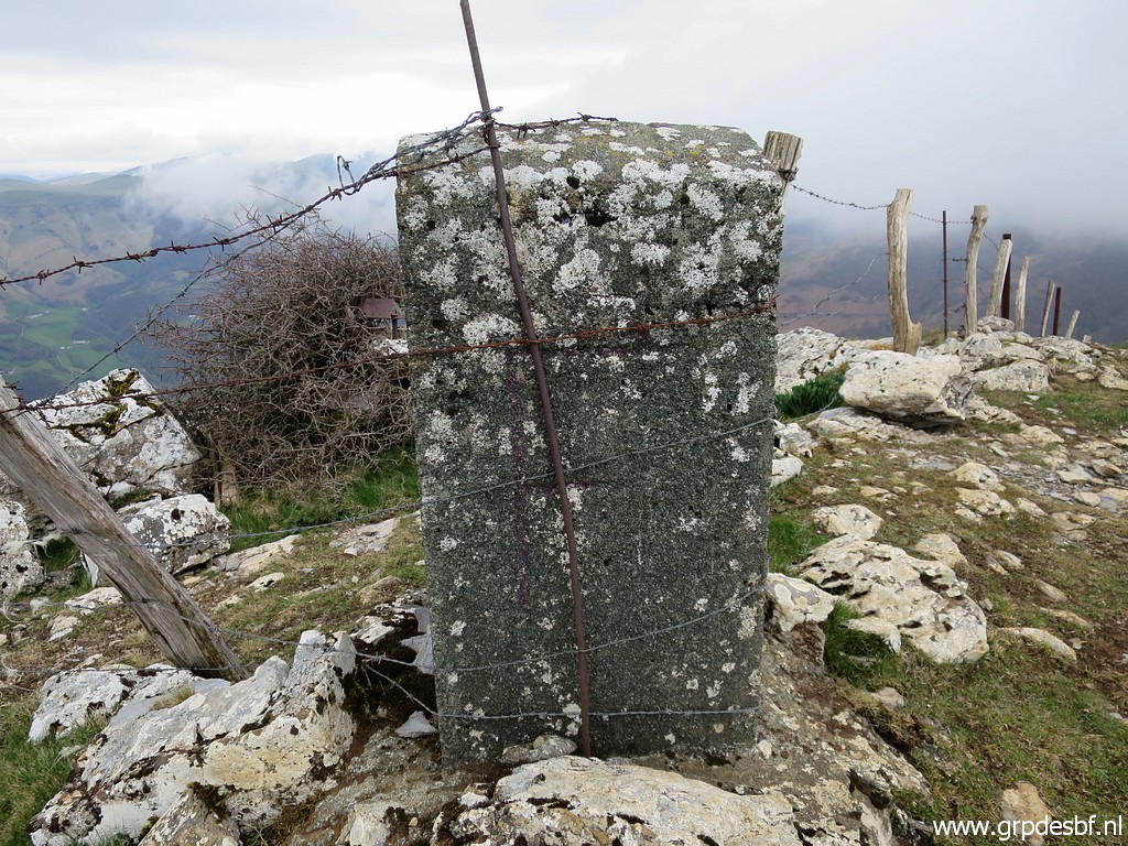
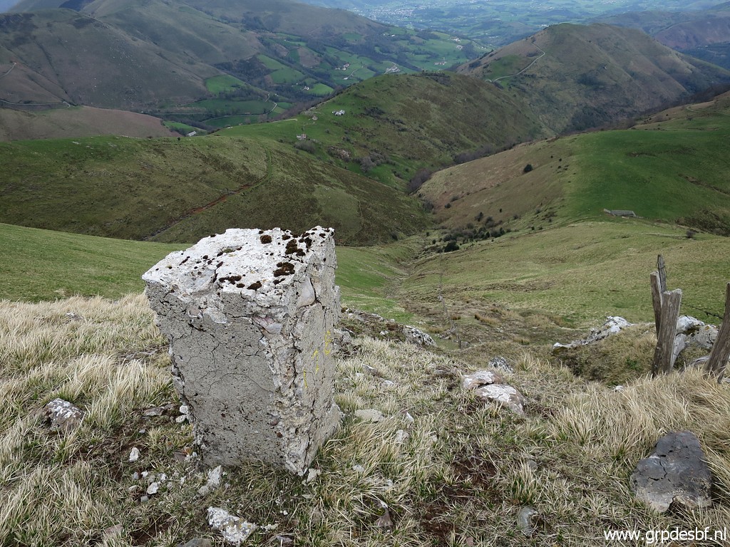
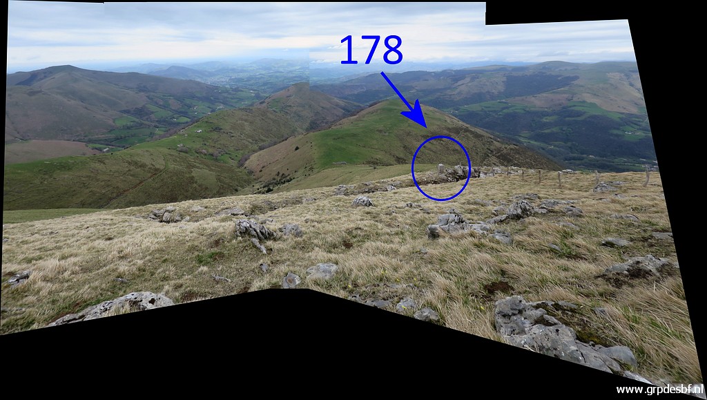 | Then descending to bm178. (click photo to enlarge) |
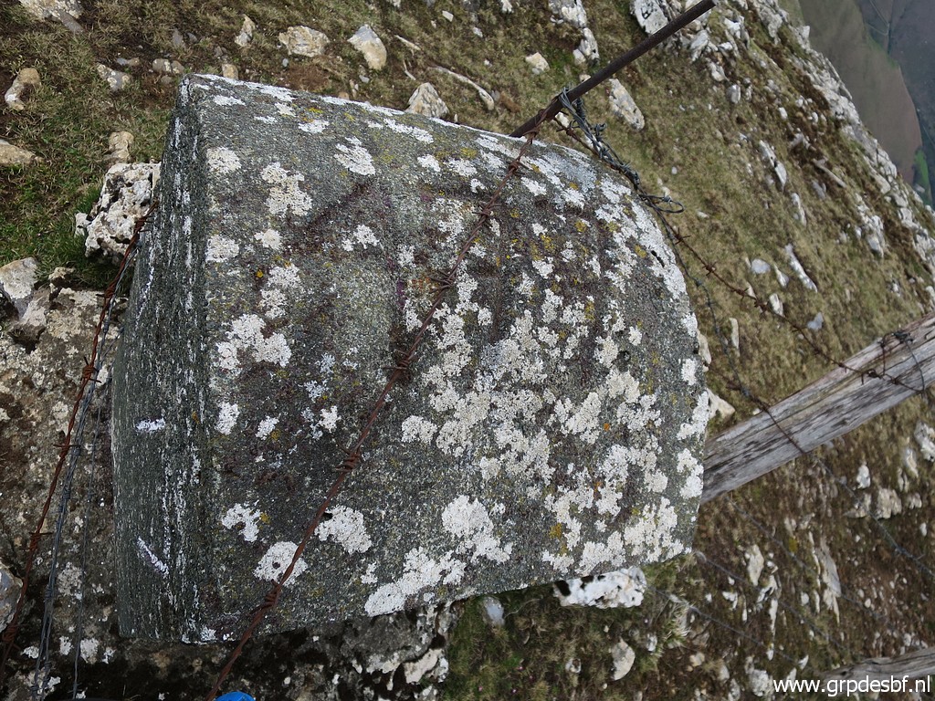
 | Bm178, zoom-in from previous picture. (click photo to enlarge) |
 | Bm178 (click photo to enlarge) |
 | Bm178 (click photo to enlarge) |
 | Bm178 (click photo to enlarge) |
 | Bm178 From bm178 a small stream(bed) starts which will be the border until bm18o. (click photo to enlarge) |
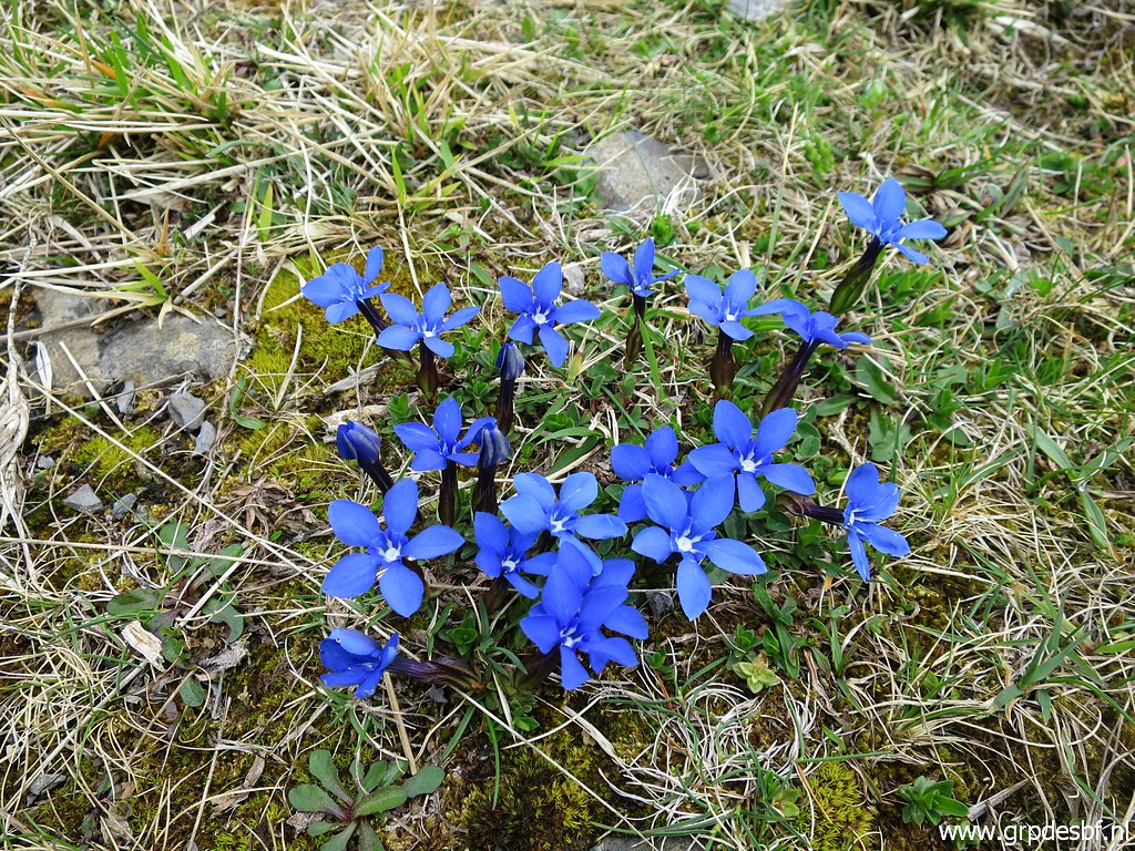 | Remember: life is not all about bordermarkers. (click photo to enlarge) |
 | This is approximately where the dirtroad passes the border. I descend into the valley (click photo to enlarge) |
 | and soon there is bm179. (click photo to enlarge) |
 | Bm179 (click photo to enlarge) |
 | Bm179 (click photo to enlarge) |
 | Bm179, looking back (click photo to enlarge) |
 | Bm179 (click photo to enlarge) |
 | From bm179 I climb uphill on a tral which brings me to (click photo to enlarge) |
 | a barn and (click photo to enlarge) |
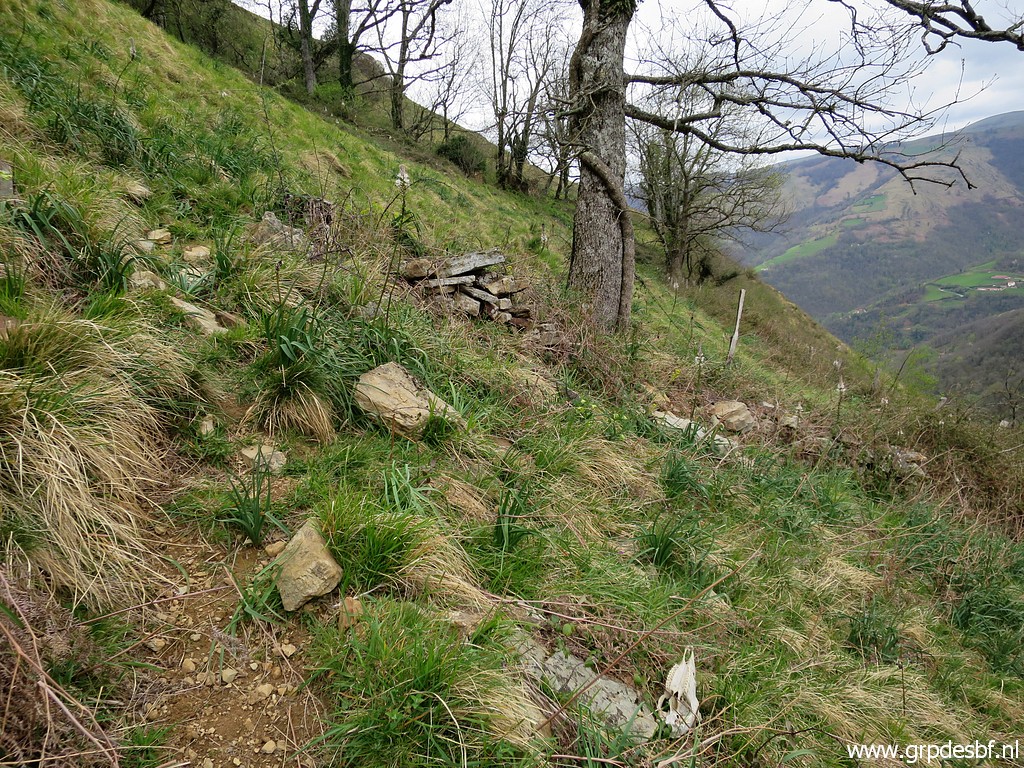
 | from there I follow a cattle trail which remains above the stream like on this picture. That is much easier than what I did on 27-5-2009 when I followed the borderstream in the bottom of the valley with much undergrowth. (click photo to enlarge) |
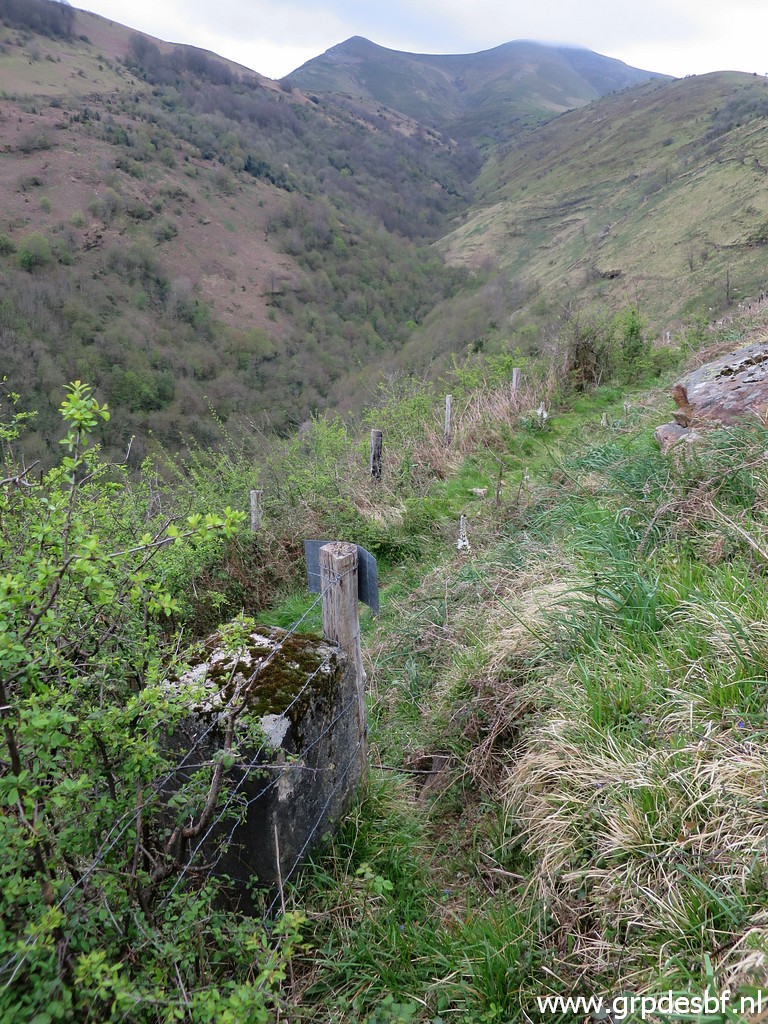
 | When approaching the waypoint of bm180, I descend steeply towards it. (click photo to enlarge) |
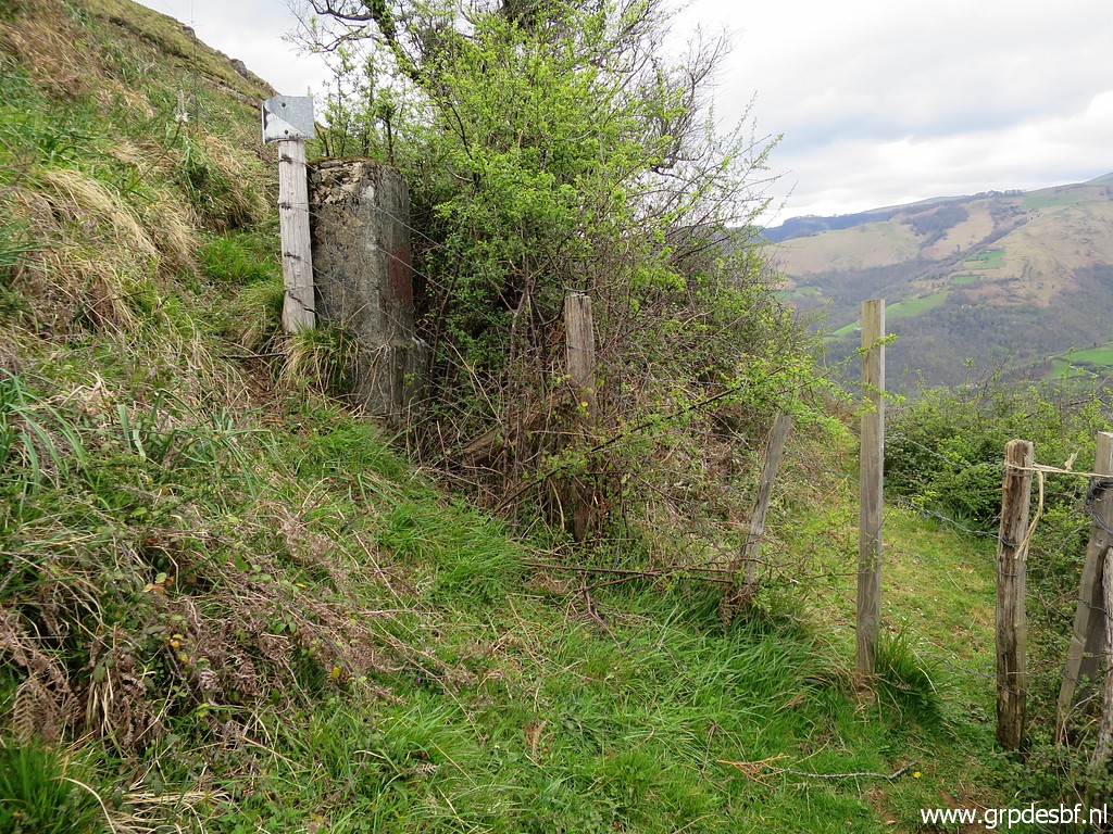
 | I can already spot the fence which climbs from bm180 gradually uphill. The fence is in between the blue lines. (click photo to enlarge) |
 | The fence starts at the stream (click photo to enlarge) |
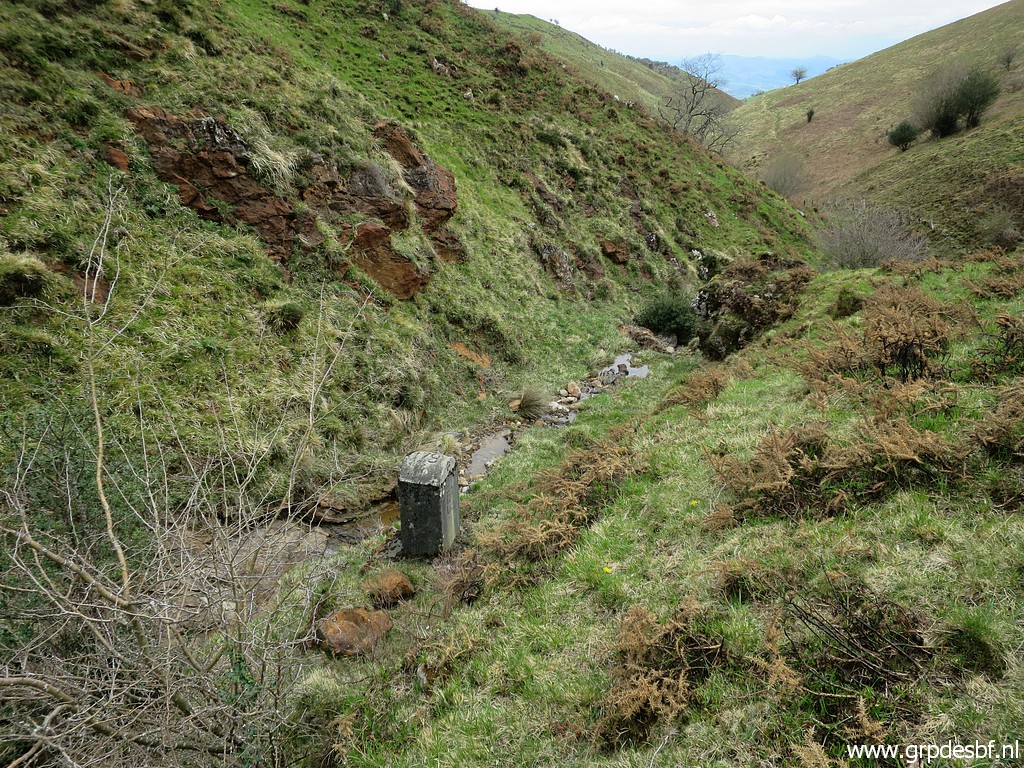
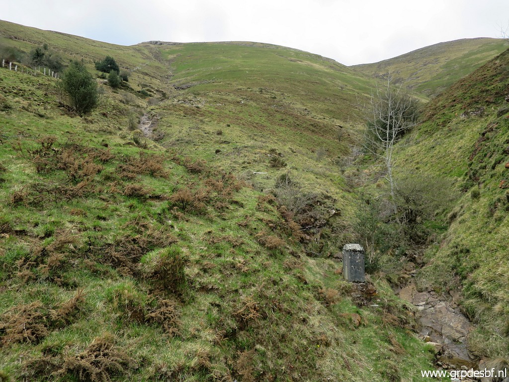
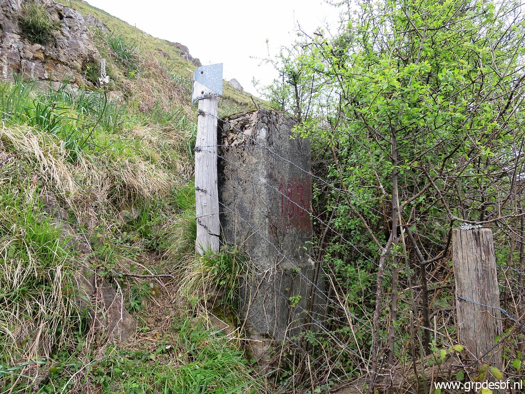
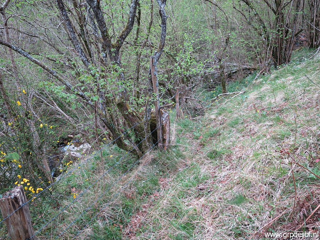 | and close to the stream I find bm180. (click photo to enlarge) |
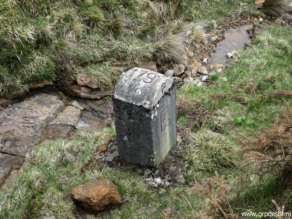
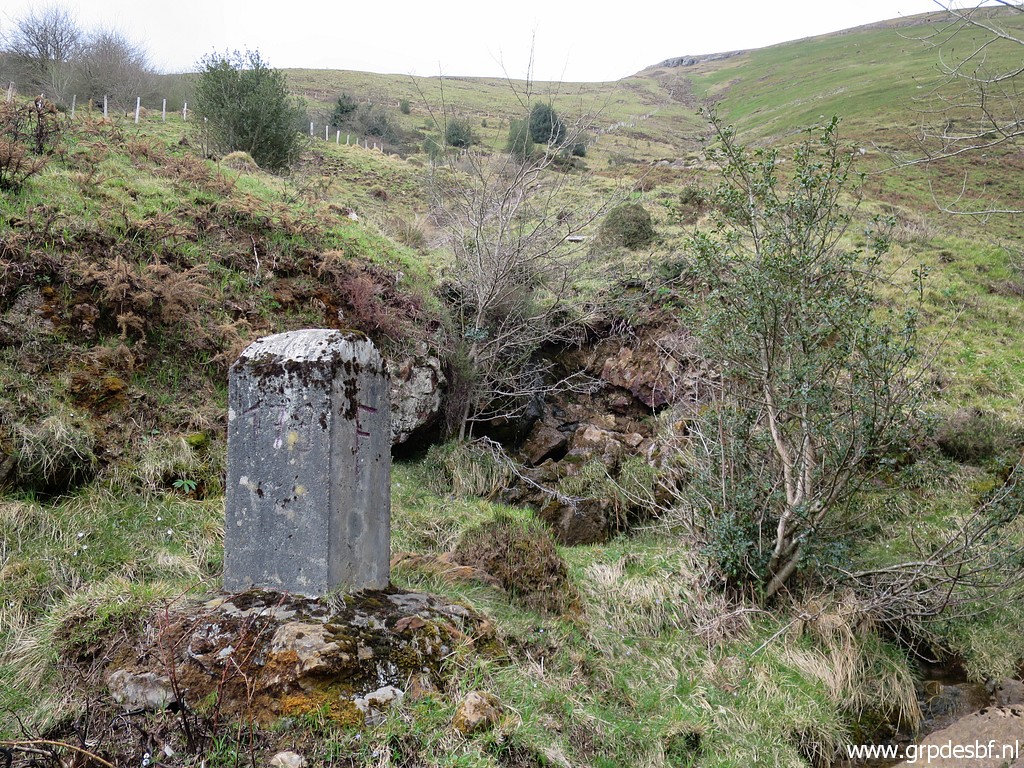
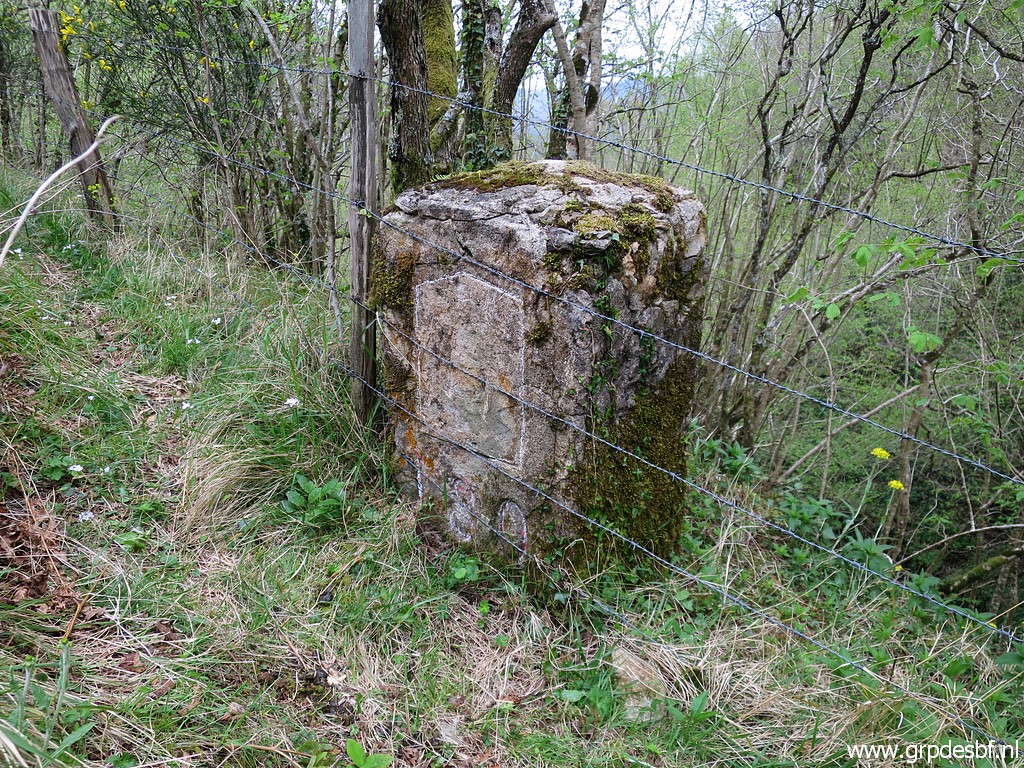 | Bm180 (click photo to enlarge) |
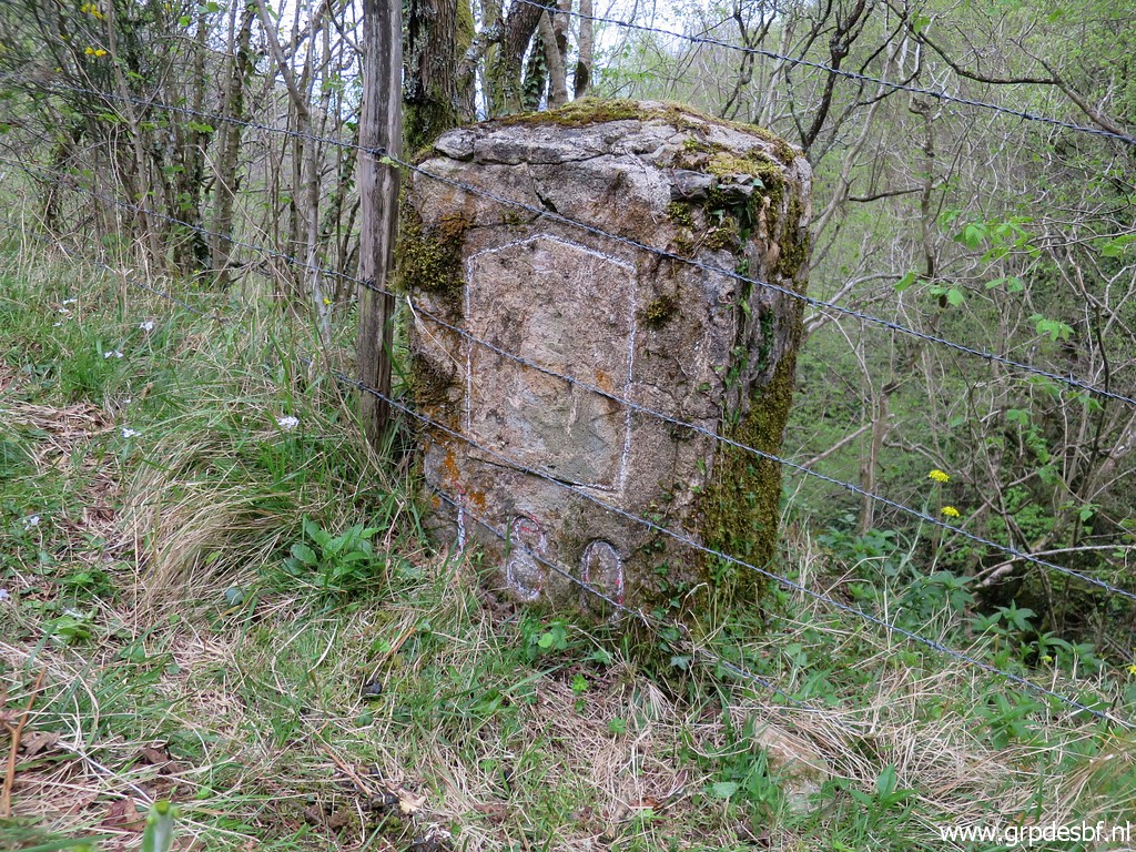 | Bm180, the remains of a shield cq weapon still visible. (click photo to enlarge) |
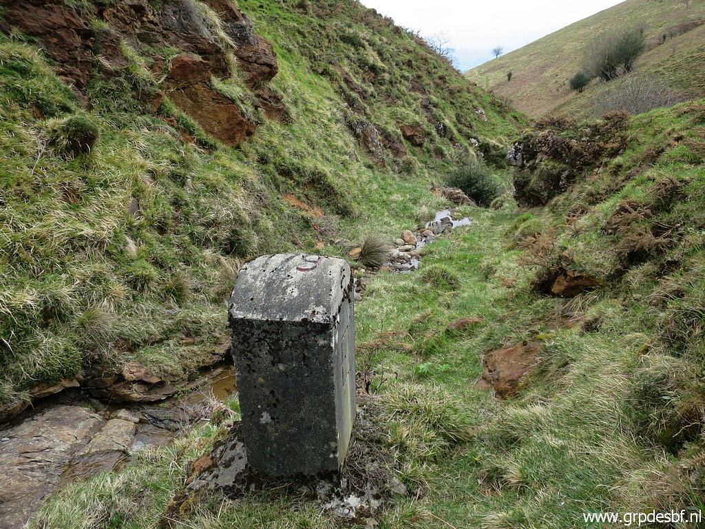
 | Bm180 (click photo to enlarge) |
 | Bm180 (click photo to enlarge) |
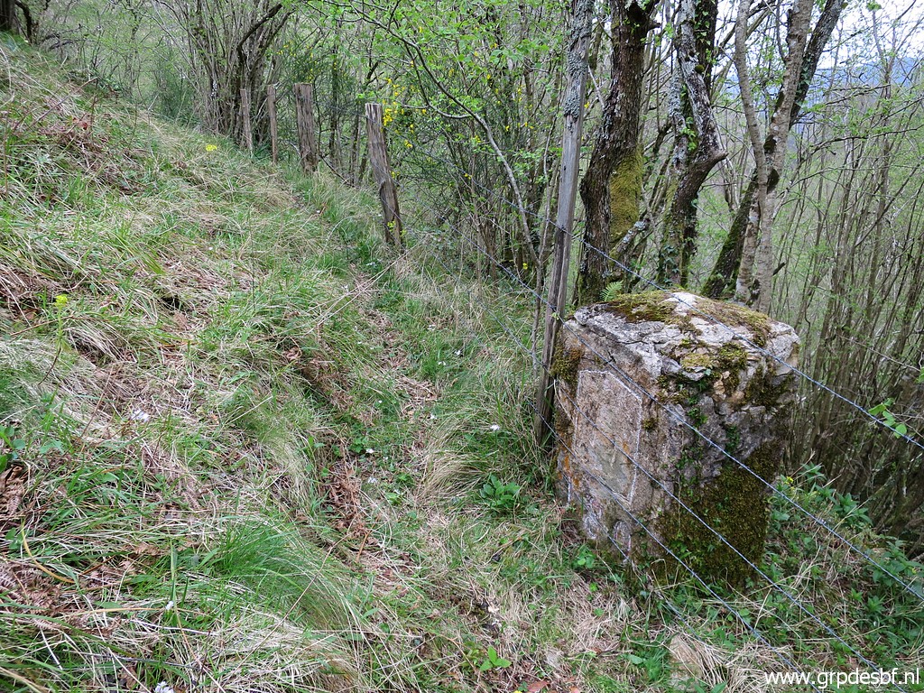
 | A view at the stream, close to a small cascade, where the border leaves the stream to go uphill. (click photo to enlarge) |
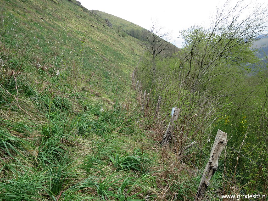 | Now navigating is easy: just follow the fence but (click photo to enlarge) |
 | sometimes it takes effort because of the undergrowth. (click photo to enlarge) |
 | Approaching bm181. (click photo to enlarge) |
 | Bm181 (click photo to enlarge) |
 | Bm181 (click photo to enlarge) |
 | Bm181, looking back. (click photo to enlarge) |
 | Bm181 (click photo to enlarge) |
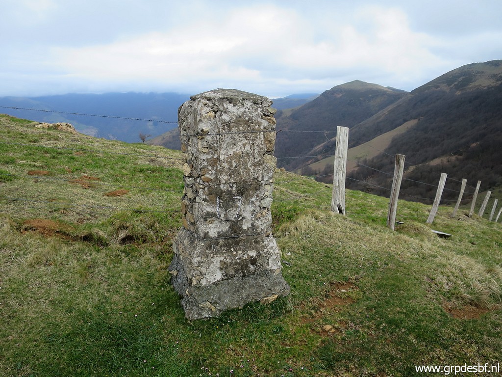
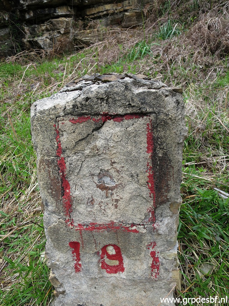
 | Further on bm182. (click photo to enlarge) |
 | Bm182 (click photo to enlarge) |
 | Bm182 (click photo to enlarge) |
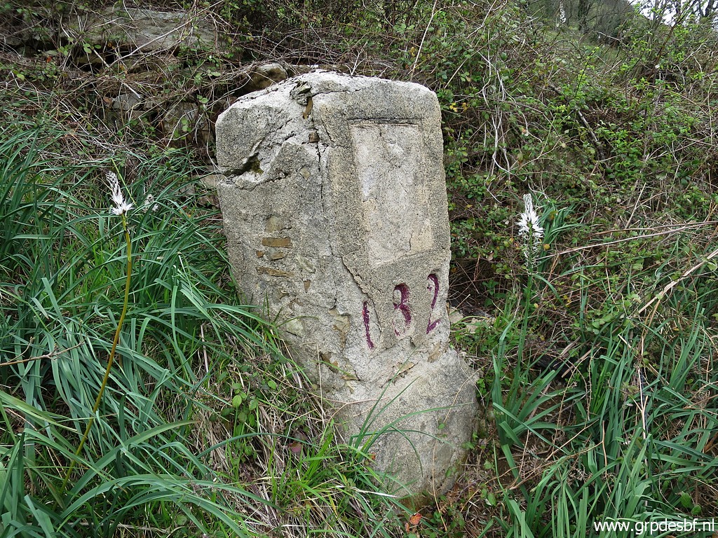 | Bm182 (click photo to enlarge) |
 | Then through a field with trees on a trail (click photo to enlarge) |
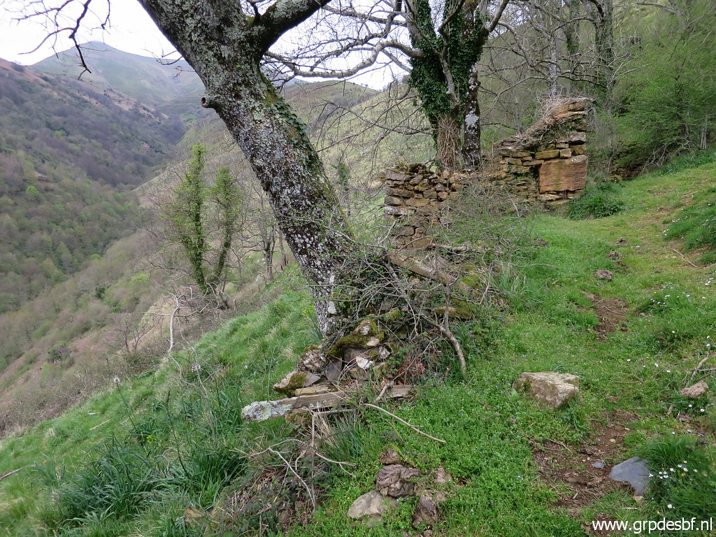 | with - looking back - the ruins of a barn. Could be nice bivouac-spot (if you bring water). (click photo to enlarge) |
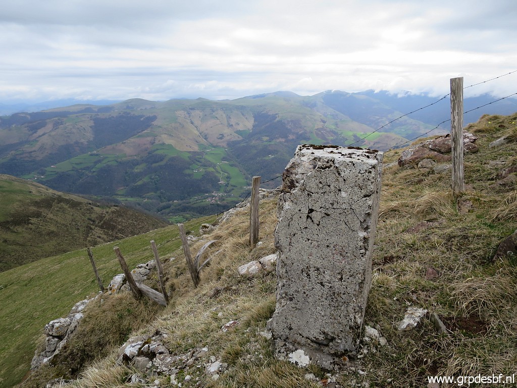
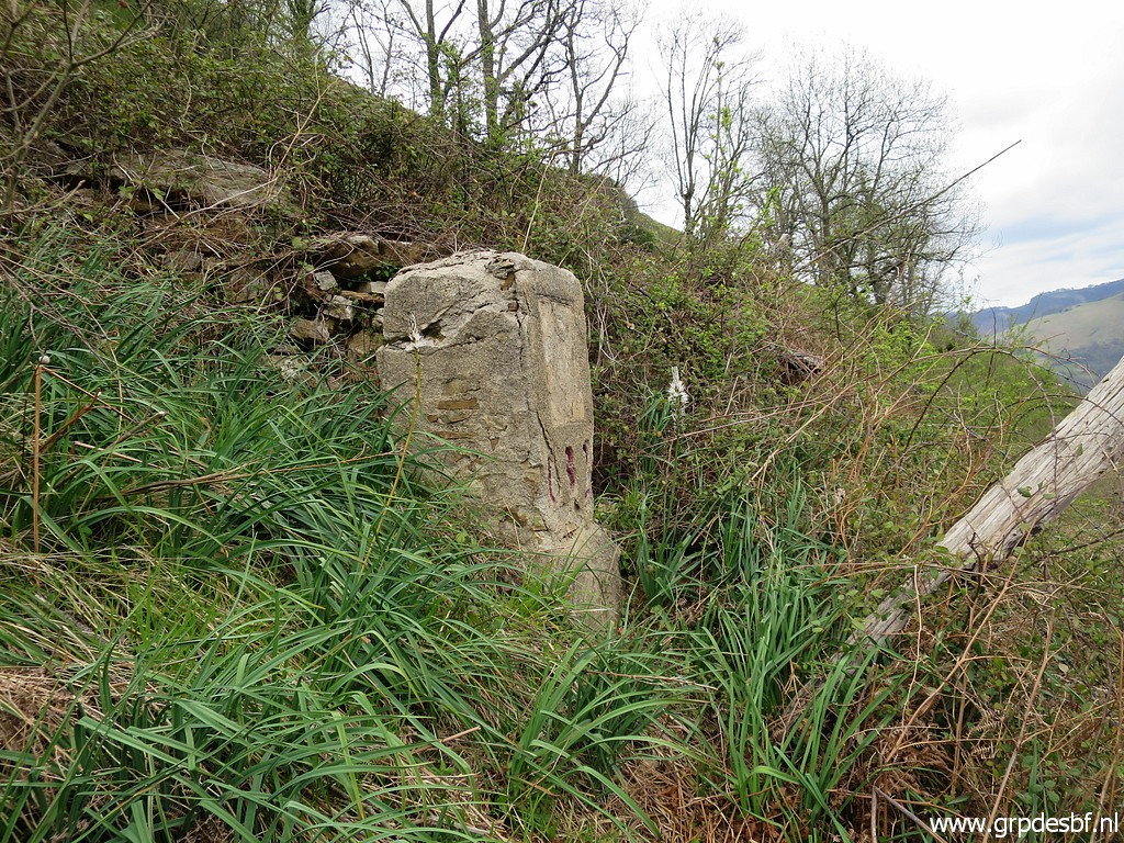
 | Then bm183. (click photo to enlarge) |
 | Bm183 (click photo to enlarge) |
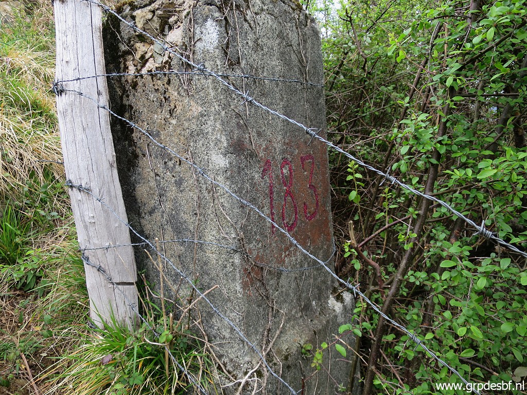 | Bm183 (click photo to enlarge) |
 | Bm183, looking back. (click photo to enlarge) |
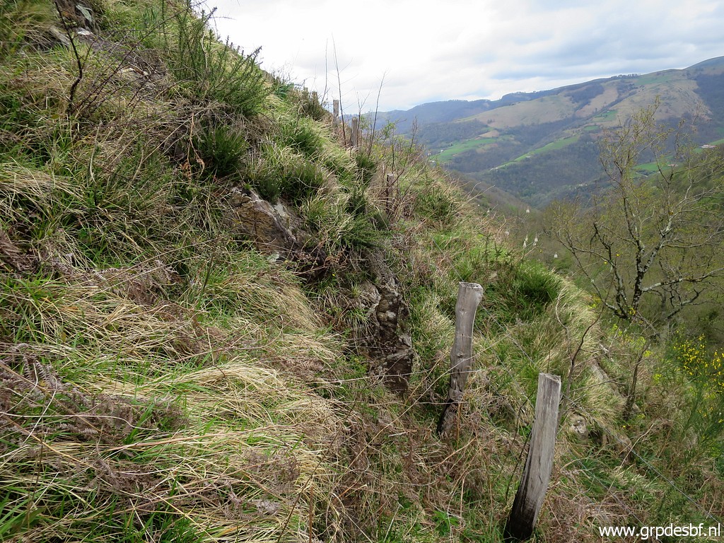
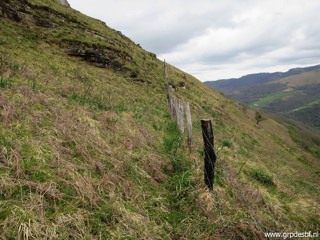 | Continuing along the fence (click photo to enlarge) |
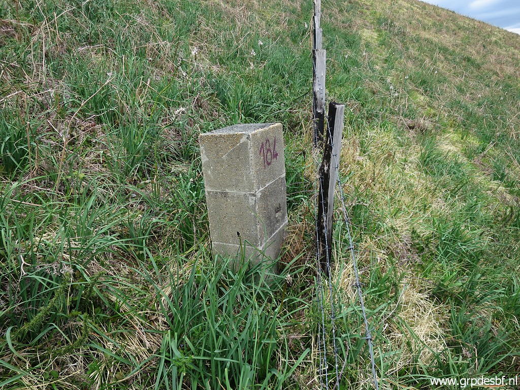
 | and approaching bm184. (click photo to enlarge) |
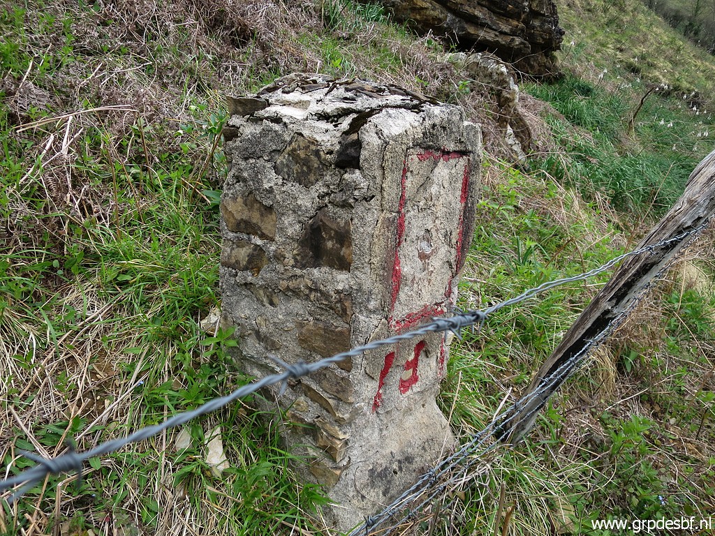
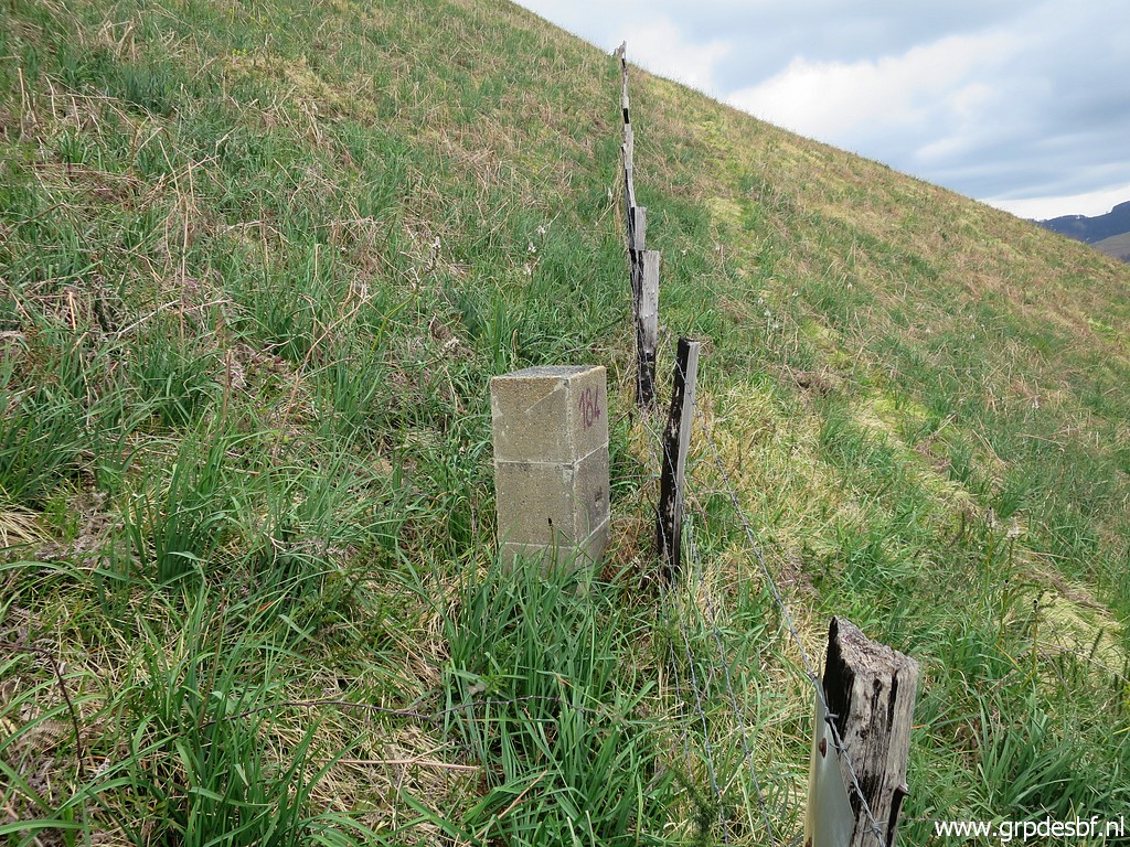 | Bm184 (click photo to enlarge) |
 | Bm184 (click photo to enlarge) |
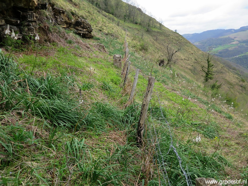
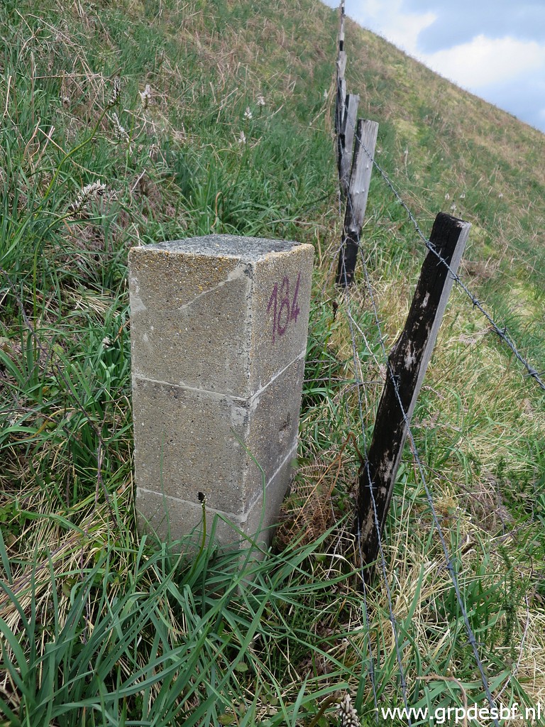 | Bm184 (click photo to enlarge) |
 | Bm184, looking back. (click photo to enlarge) |
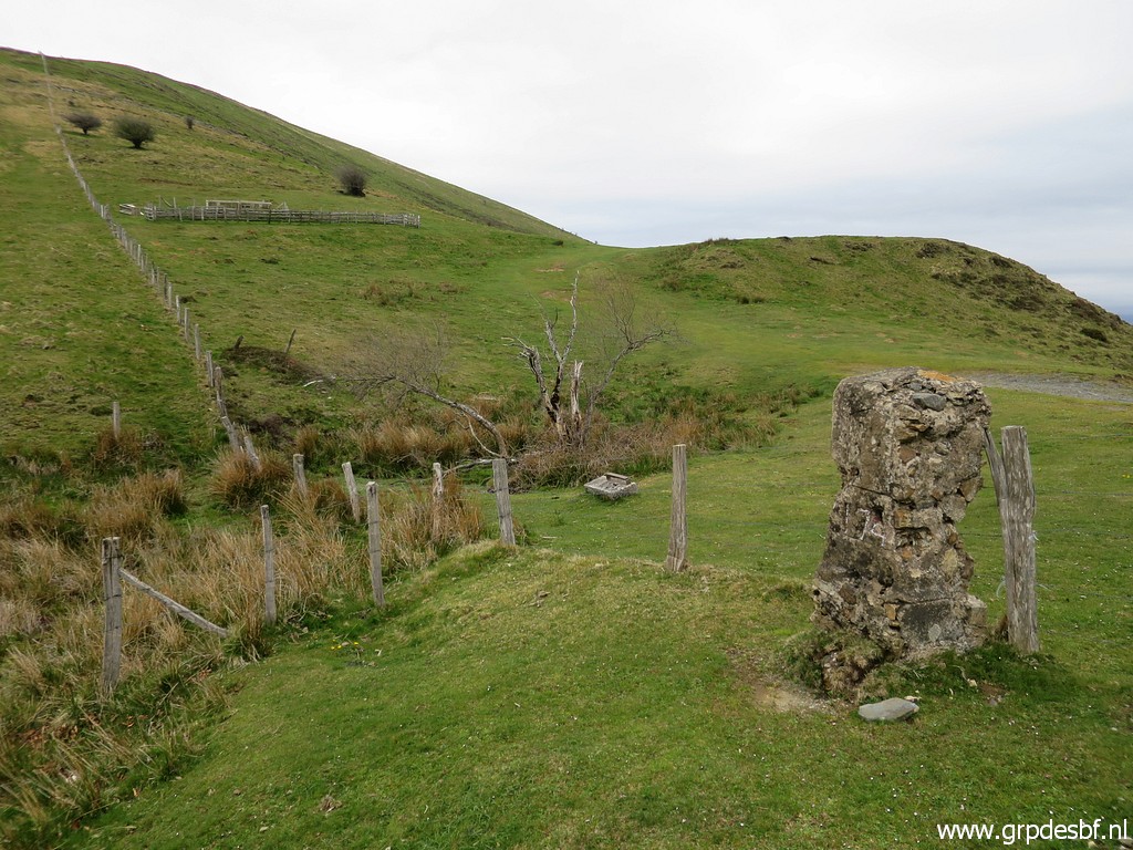
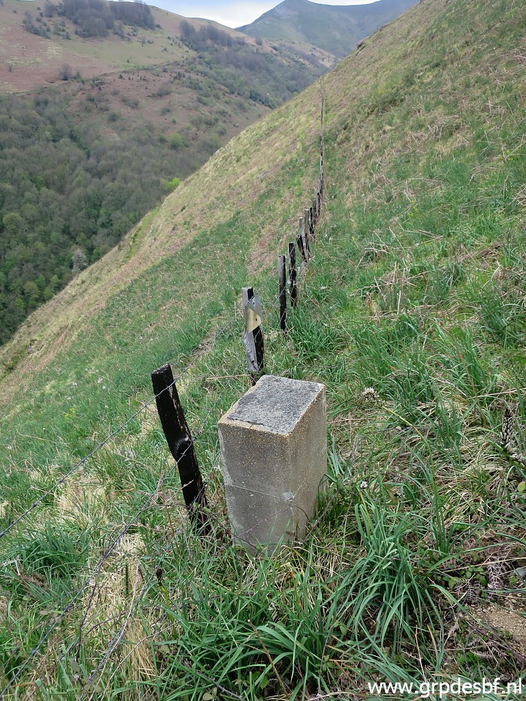
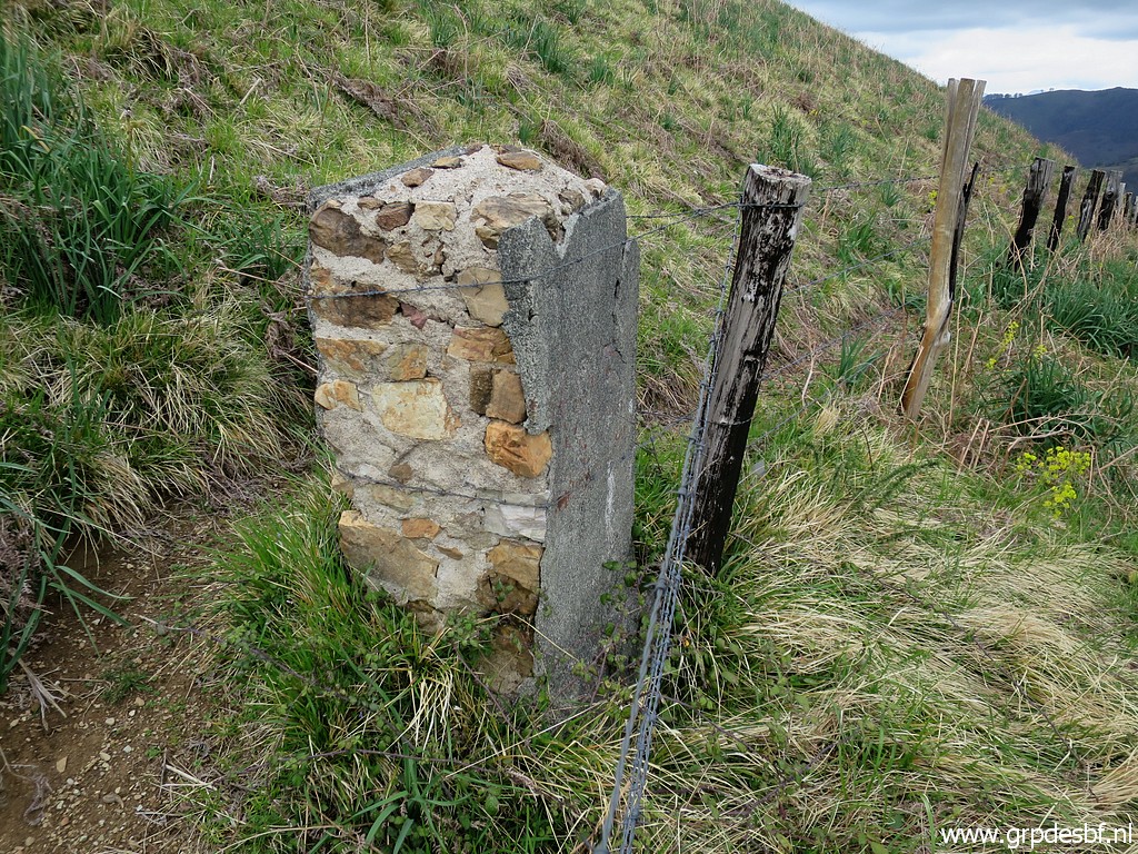
 | Then the last one: bm185. (click photo to enlarge) |
 | Bm185 (click photo to enlarge) |
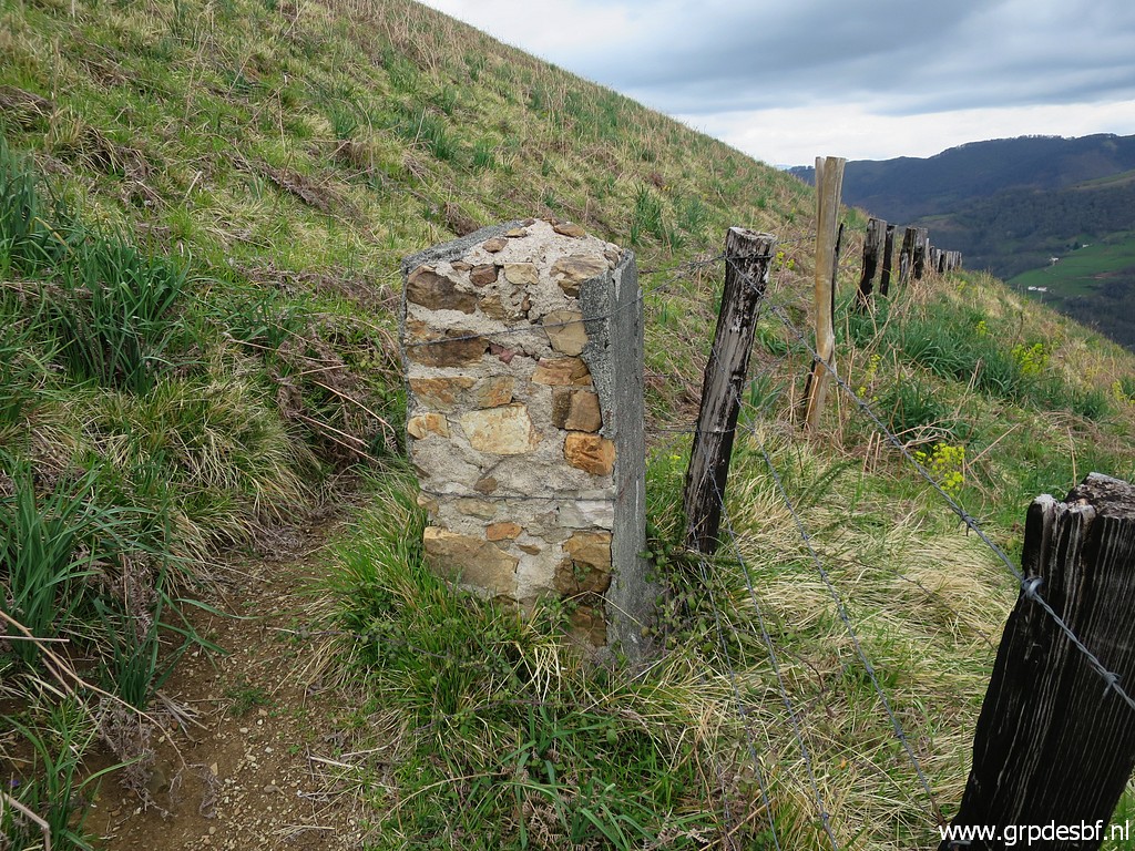
 | Bm185 (click photo to enlarge) |
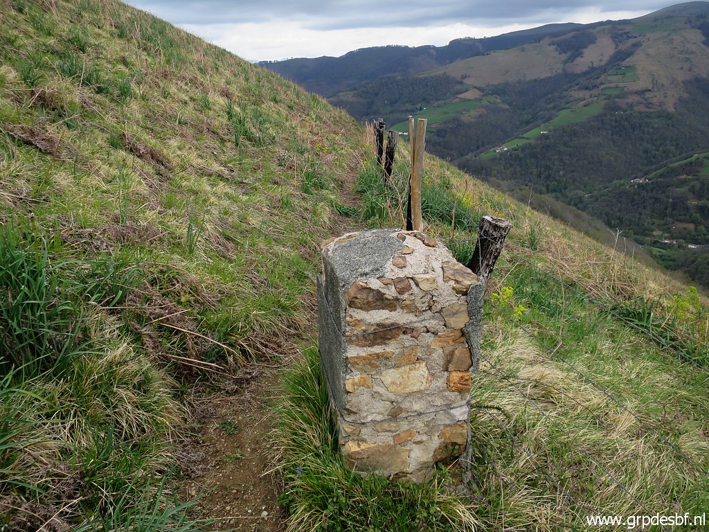
 | Bm185, looking back. (click photo to enlarge) |
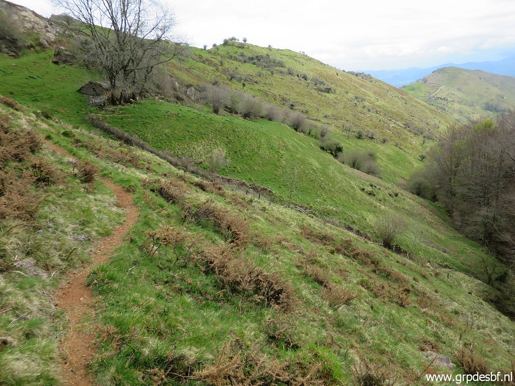
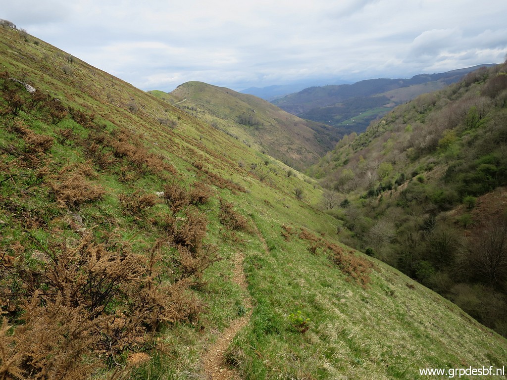
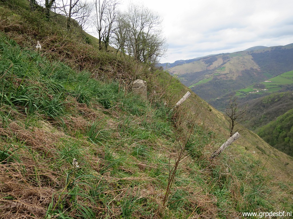
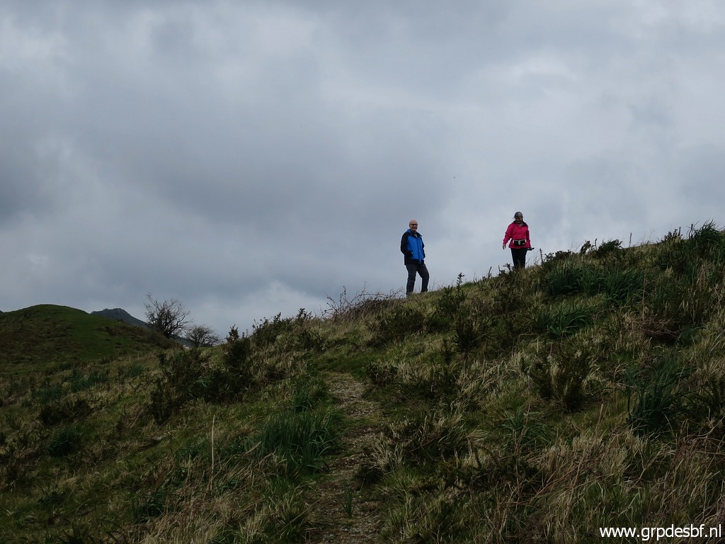
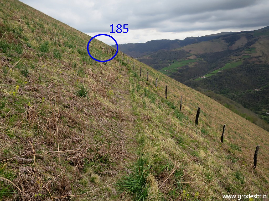 | From bm185, I climb back to my car on the hillridge. There is a trail. (click photo to enlarge) |
 | Further on the trail, looking back. (click photo to enlarge) |
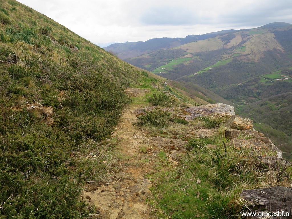 | Same story, the trail is sometimes vague but in general distinct enough. (click photo to enlarge) |
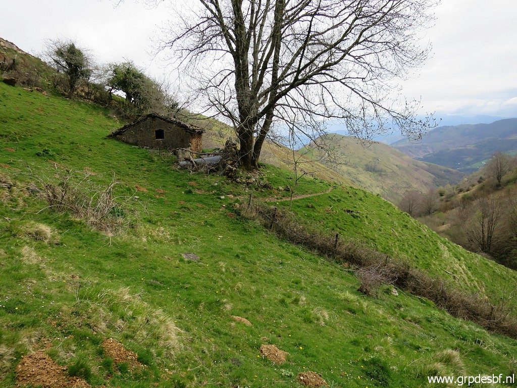
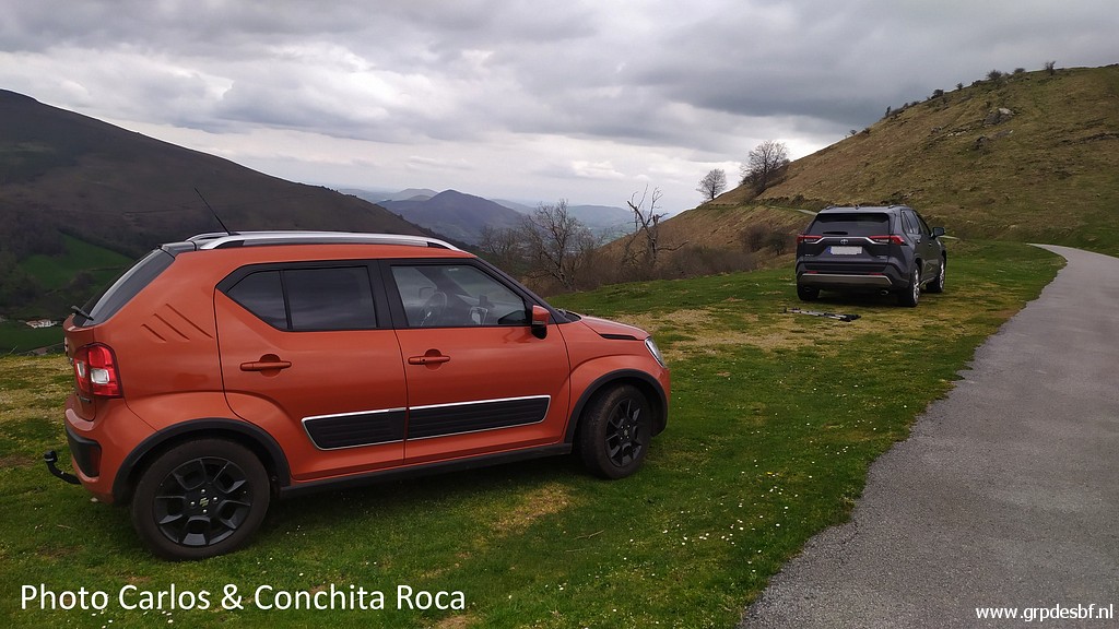
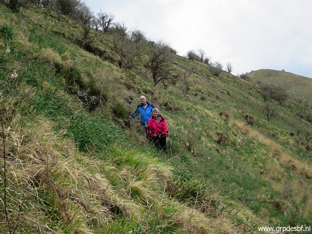
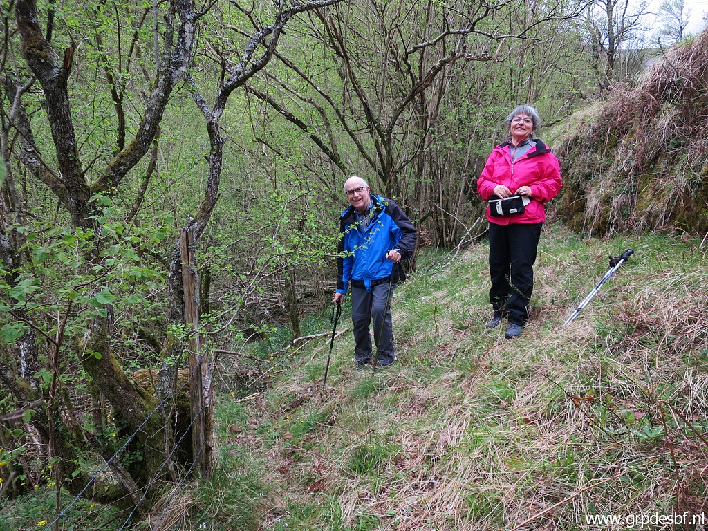
 | Carlos and Conchita are waiting for me, they have just arrived from Barcelona for a few days of bordermarkers-pleasure. Some markers we will do together. (click photo to enlarge) |
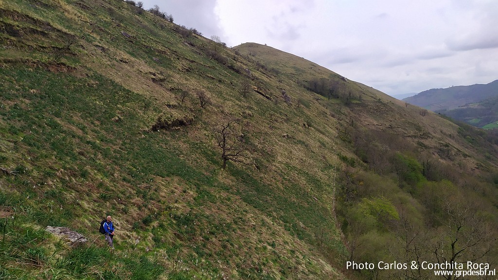
 | From our parking spot, we will do together bm180. (click photo to enlarge) |
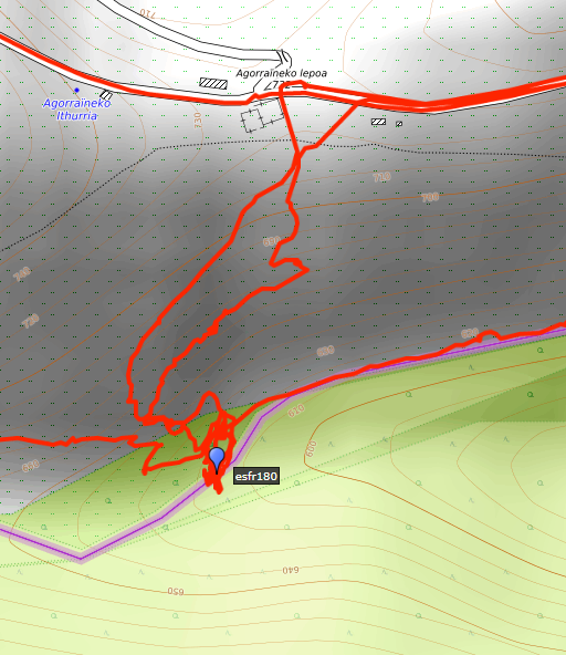 |
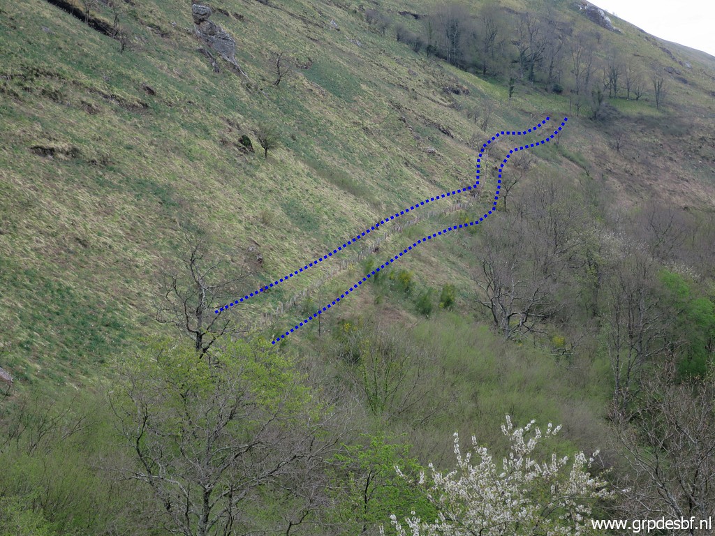
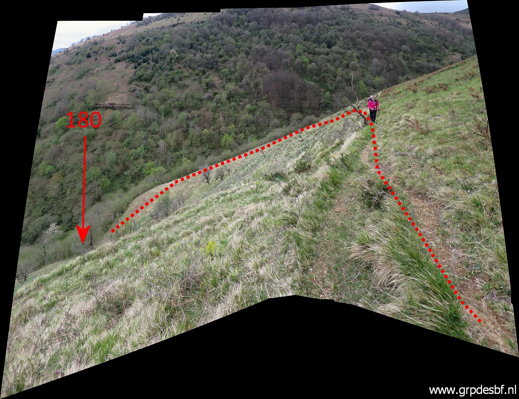
This is our route from the hillridge (with the building) to bm180 and back. The right one is the route down and the left one (the better one) is the route back. |
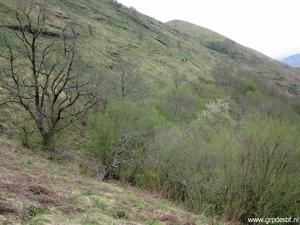
 | We descend, seeking a route. (click photo to enlarge) |
 | Getting closer to the bottom of the valley. (click photo to enlarge) |
 | Arrived at the wooded valley-bottom (click photo to enlarge) |
 | where bm180 is close. (click photo to enlarge) |
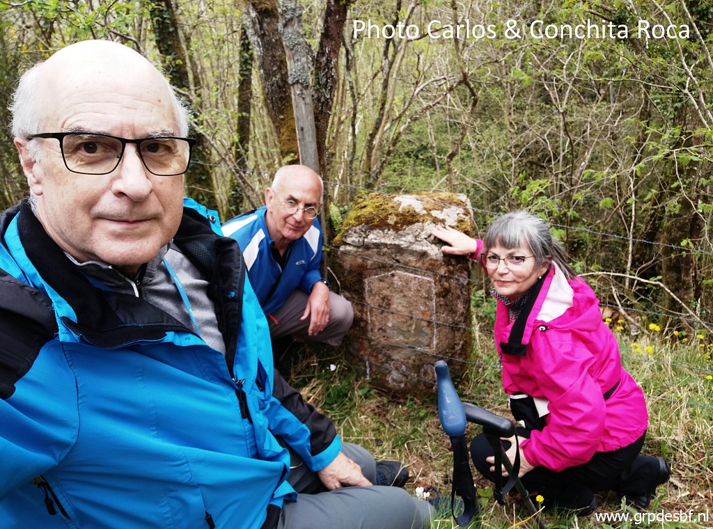
 | Carlos discovers that there is a painted number at the other side and I climb the fence (click photo to enlarge) |
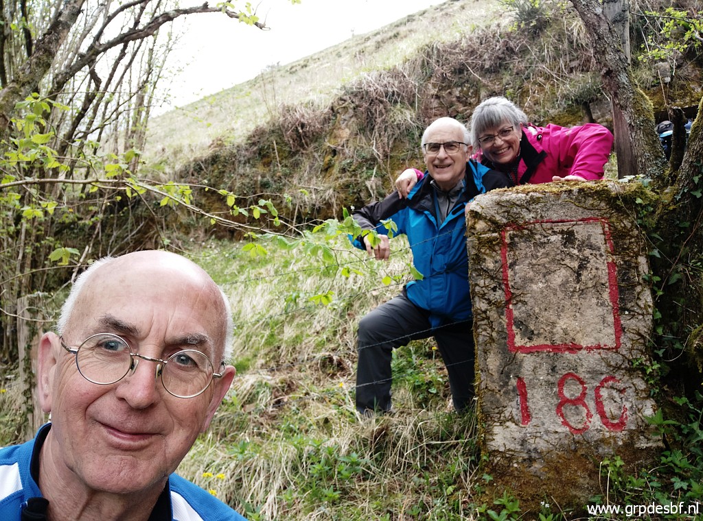 | to make these pictures. (click photo to enlarge) |
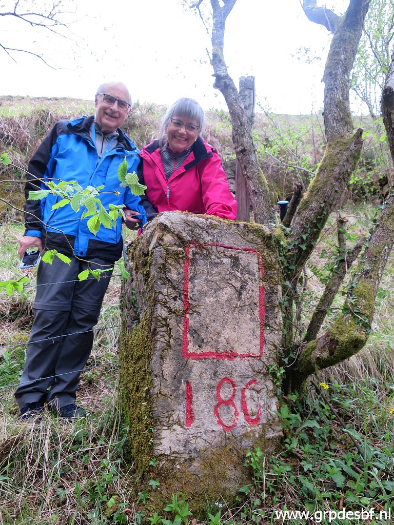
 | Bm180, last picture. (click photo to enlarge) |
 | Climbing back, now on a better route. (click photo to enlarge) |
 | And that's a slightly curved one. Enough for today. We drive back, I to my camping and Carlos & Conchita to their rented appartement. At night: invited to have dinner with them and to plan our trips for the next days. (click photo to enlarge) |