|
The
bordermarkers of the Pyrenees : all my trips
|
|
| -
saturday 16 april
2022 - Redoing bm196 and bm145-155  previous
trip
next
trip previous
trip
next
trip  |
 |
 |
Summary:
part of a series of 10 daytrips in april 2022 in the Basque country,
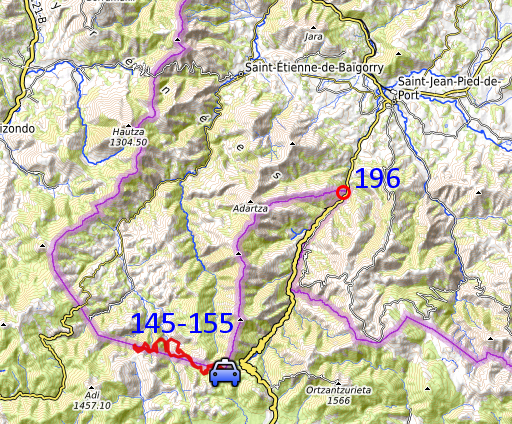
mainly redoing bm085 to 197. This is day 8. Today: after a short visit to bm196, a long trip to redo bm145-155. Weather: foggy in the morning, full sunshine later. Basecamp: camping Irouleguy in Saint-Étienne-de-Baïgorry. |
| Trip 1 - bm196 |
|
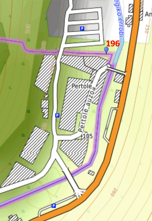 |
On my way to Col de Lindus, I visit once again bm196. On 31-5-2013 bm196 was found back underground by Jan-Willem and me. It was later dug out and lifted above the ground. See this page for the full history. |
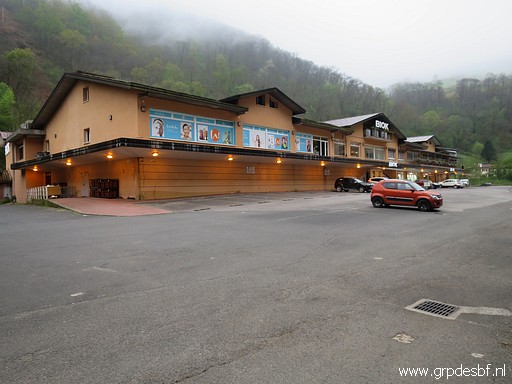 | The large venta-complex (click photo to enlarge) |
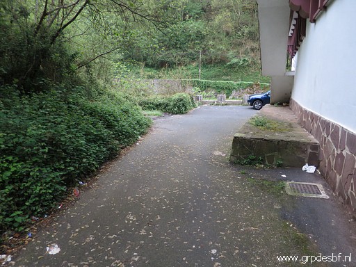 | where bm196 can be found at the NE-corner (click photo to enlarge) |
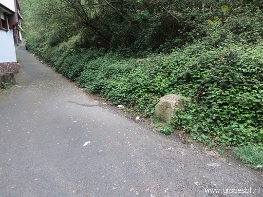 | Bm196 (click photo to enlarge) |
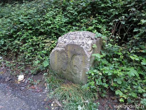 | Bm196 (click photo to enlarge) |
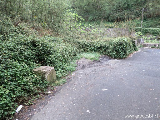 | Bm196 (click photo to enlarge) |
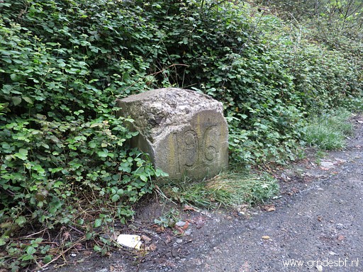 | Bm196 (click photo to enlarge) Then driving on to Col de Lindus. A camino-walker is hitch-hiking and I bring her to Col d'Ibaneto. Hitch-hiking along the camino is not a sin, she tells me. |
| Trip 2 - bm145-155 | |
 |
From
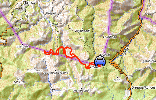
Col de Lindus (bm155) I first walk to the farthest bordermarker (bm145)
and then work my way back to Col de Lindus along all bordermarkers. |
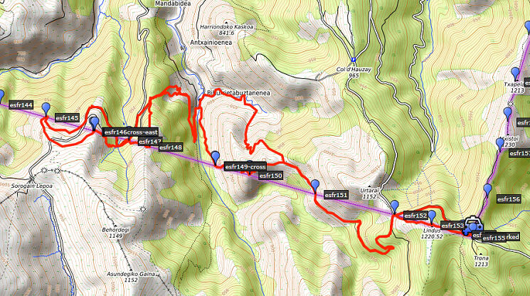 track-20220416-trip2.kml (click to open this trip in Google Earth or copy link to Google Maps; click right on this link to download gpx-version). The gps-track has not been manually corrected which explains the inaccuracy and misalignment at some points. For cartographic backgrounds: see the cartography-page Gps-waypoints of all bordermarkers (most recent version): kml: esfr-bordermarkers-all-waypoints.kml gpx: esfr-bordermarkers-all-waypoints.gpx (with elevation added by gpsvisualizer.com) |
|
 |
According to Garmin
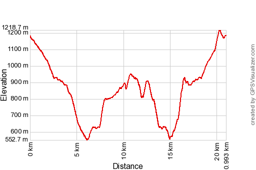
Basecamp (uncorrected track with elevation added by Gpsvisualizer.com): Distance: 21,0km Max-height: 1219m Min-height: 553m Elevation: +1583m -1584m Total elevation: 3167m Start 9:18 Finish 18:26 Total time: 9:08 |
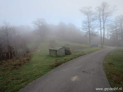 | A foggy start from Col de Lindus. (click photo to enlarge) |
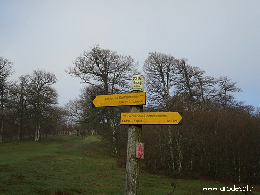 | Waysigns tell me about the sentier des Contrebandiers and I will use its waymarkings. (click photo to enlarge) |
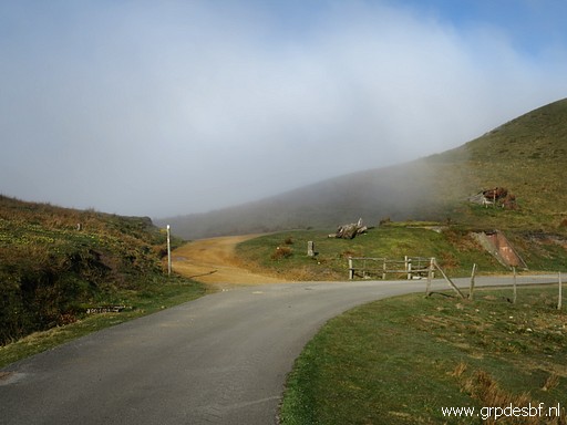 | Via this col with bm152 I switch to the Spanish side on the sandy dirtroad. (click photo to enlarge) |
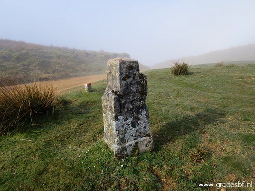 | Bm152 (click photo to enlarge) |
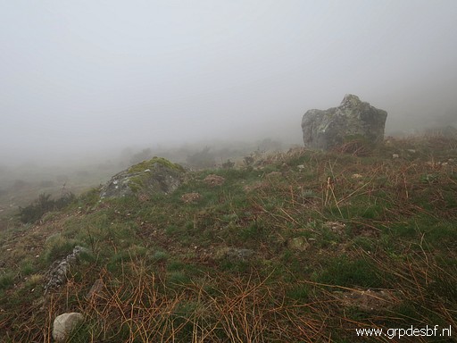 | Still in the fog, I pass bm151. (click photo to enlarge) |
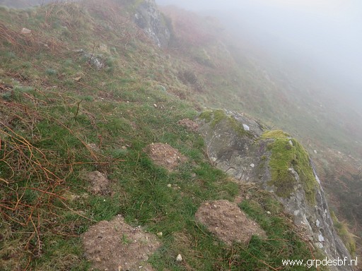 | Bm151, hardly visible but I will return here later on. (click photo to enlarge) |
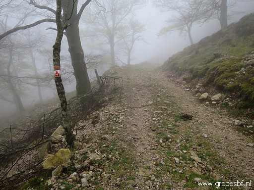 | On this dirtroad (click photo to enlarge) |
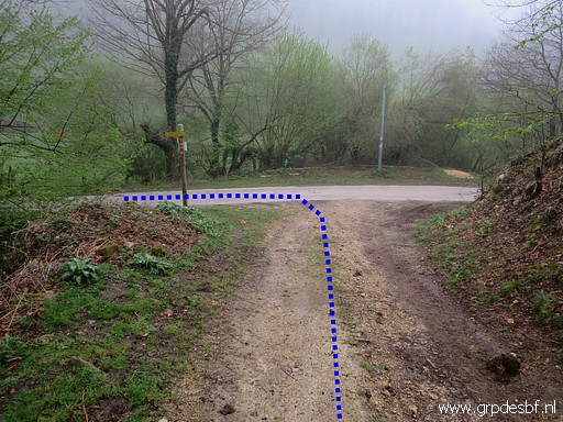 | descending to this junction (click photo to enlarge) |
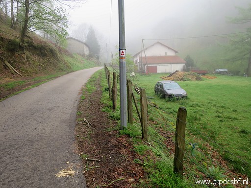 | and beyond the farm (click photo to enlarge) |
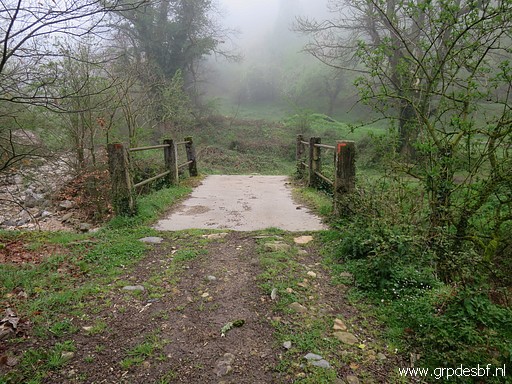 | and this bridge (click photo to enlarge) |
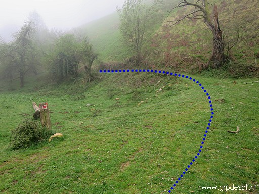 | I pick up a grassy track. (click photo to enlarge) |
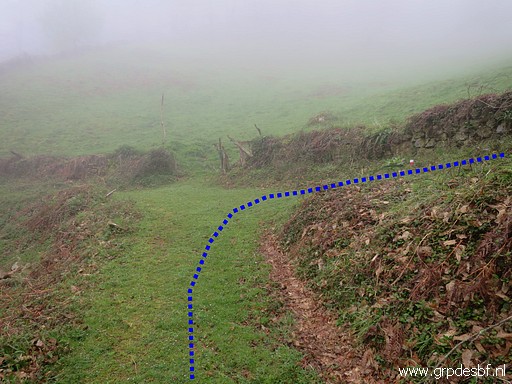 | Further on a junction of two paths where (click photo to enlarge) |
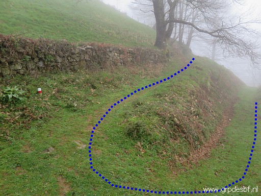 | I bend sharply and continue uphilll (click photo to enlarge) |
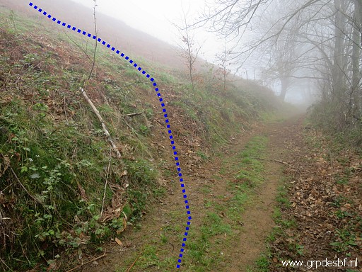 | until this spot. I leave the trail (click photo to enlarge) |
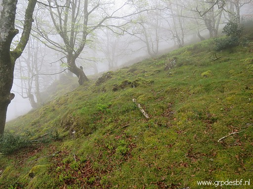 | and climb straight uphill through a field of weathered fern and after this patch of forest, (click photo to enlarge) |
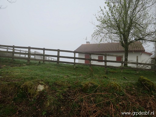 | I arrive at this cabin. (click photo to enlarge) |
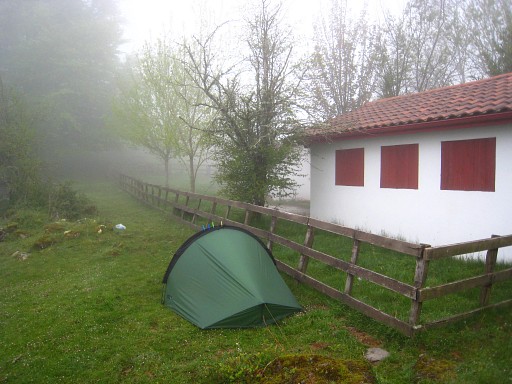 |
I camped here on 8-5-2009. |
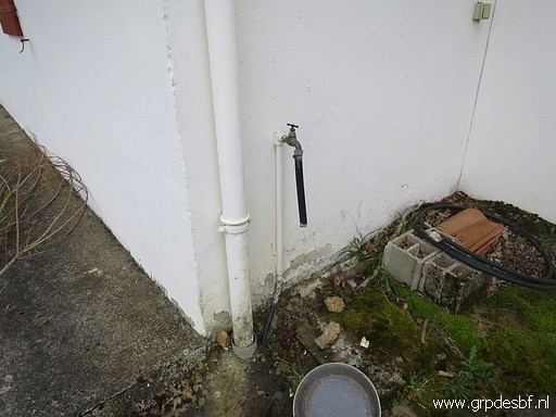 | There is still a watertap at the backside. (click photo to enlarge) |
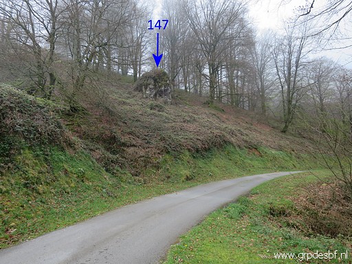 | From the cabin descending to the tarmac road and passing along the rock of bm147. (click photo to enlarge) |
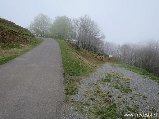 | The winding road passes a remarkable enclosure, never seen before in the Pyrenees. (click photo to enlarge) |
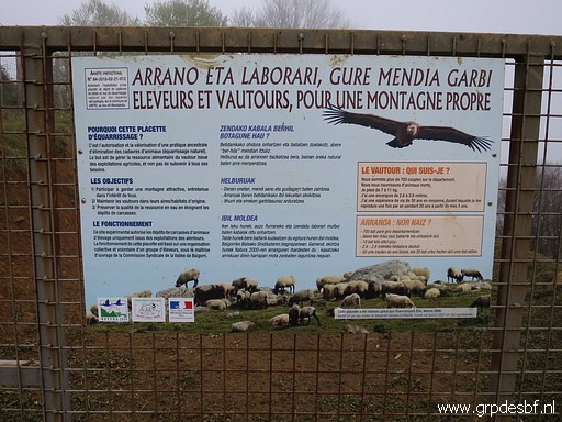 | It's a sort of open air burial ground for dead cattle (click photo to enlarge) |
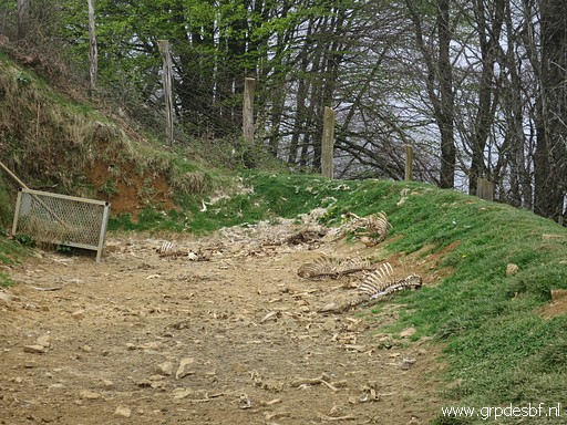 | which can be devoured by vultures. (click photo to enlarge) |
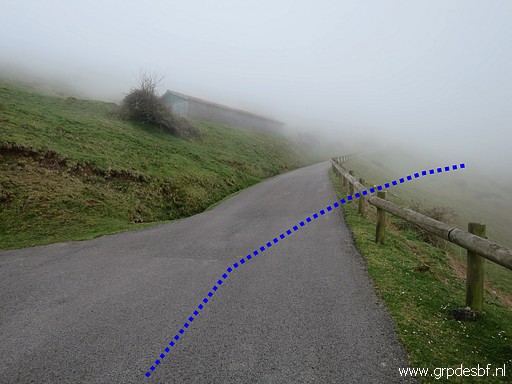 | Further on leaving the road to continue (click photo to enlarge) |
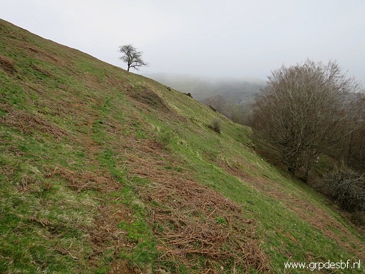 | on a (cattle) track (click photo to enlarge) |
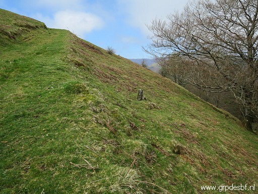 | to bm145 (click photo to enlarge) |
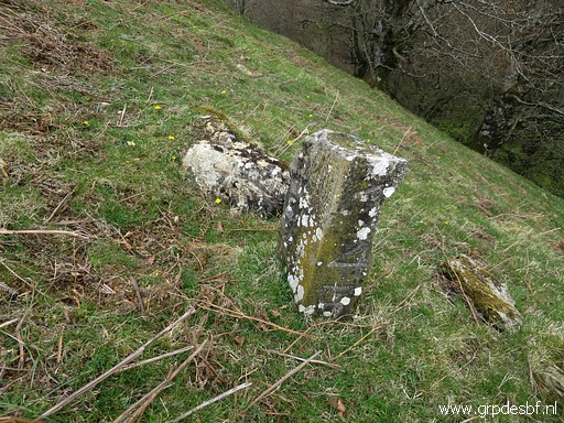 | Bm145 (click photo to enlarge) |
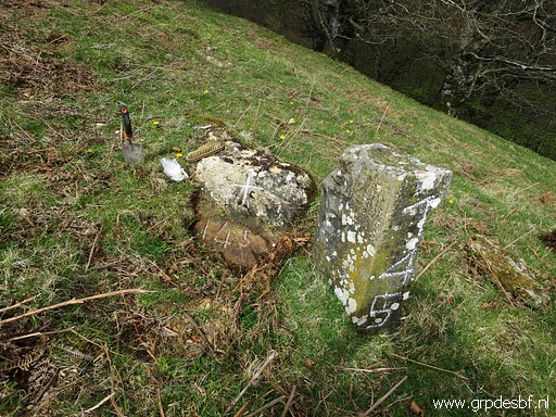 | Bm145 (click photo to enlarge) |
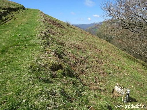 | Bm145 (click photo to enlarge) |
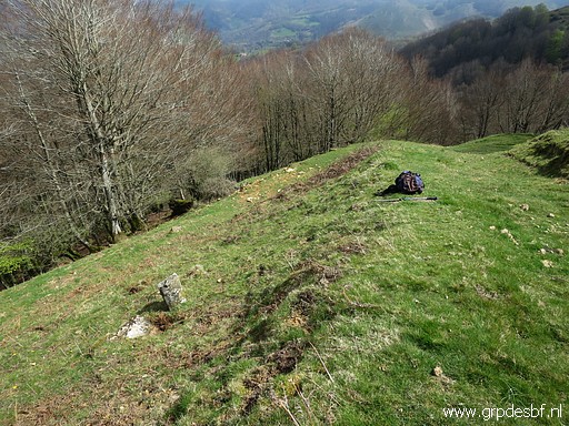 | Bm145 (click photo to enlarge) |
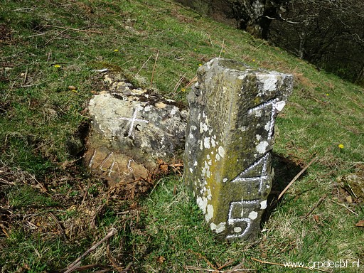 | Bm145 (click photo to enlarge) |
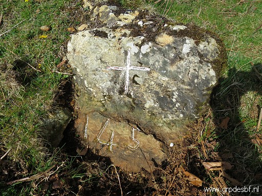 | Bm145 (click photo to enlarge) |
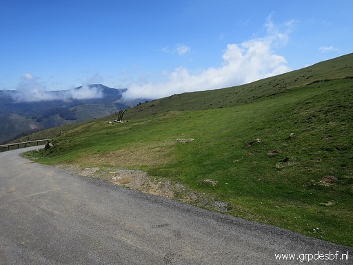 | From bm145 a trail climbs to the tarmac road and (click photo to enlarge) |
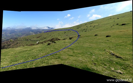 |
from there I curve along the hillside (click photo to enlarge) |
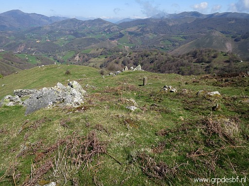 | to bm146. (click photo to enlarge) |
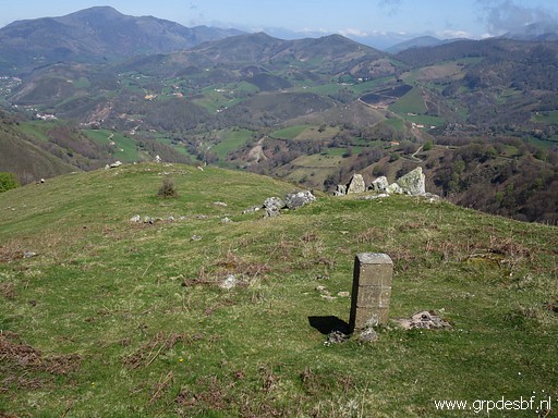 | Bm146 (click photo to enlarge) |
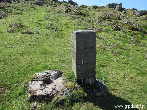 | Bm146 (click photo to enlarge) |
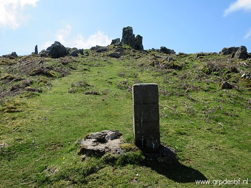 | Bm146 (click photo to enlarge) |
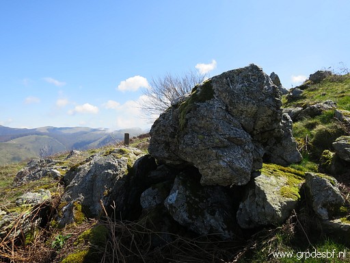 | About 12m to the W there is a number 146 (click photo to enlarge) |
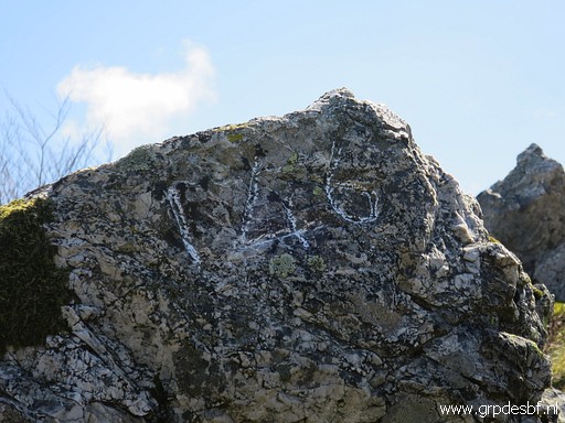 | engraved on a rock. The reason or origin is unknown. (click photo to enlarge) |
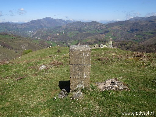 | Bm146 again. (click photo to enlarge) |
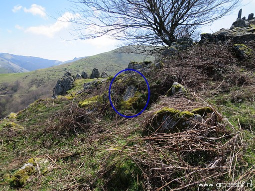 | At the E-side (10m) there is also (click photo to enlarge) |
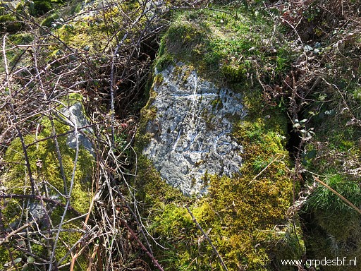 | a number 146 (with a cross). The reason or origin is unknown. (click photo to enlarge) |
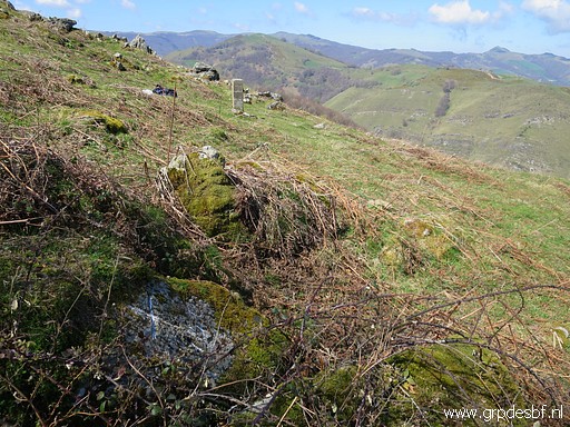 | The eastern cross, looking to the pillar 146. (click photo to enlarge) |
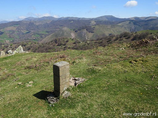 | Bm146, last picture. (click photo to enlarge) |
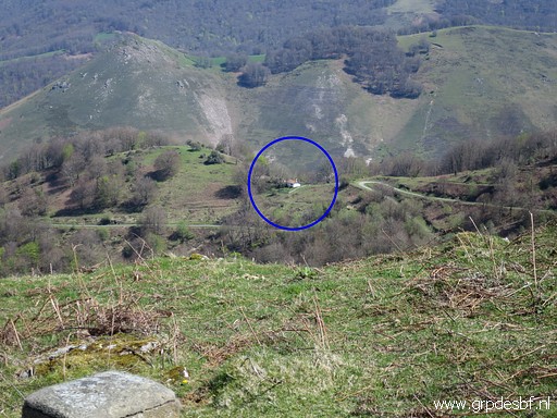 | From bm146, the cabin which I visited earlier is visible. (click photo to enlarge) |
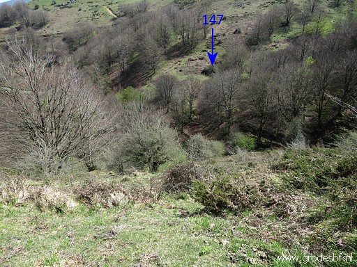 | I descend towards bm147. (click photo to enlarge) |
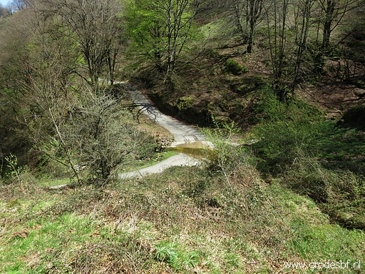 | First towards the tarmac road (click photo to enlarge) |
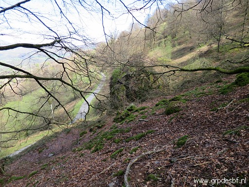 | and then climbing through the forest to the backside of the rock (click photo to enlarge) |
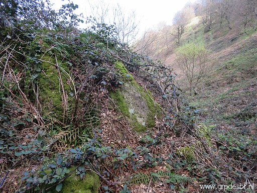 | with bm147. (click photo to enlarge) |
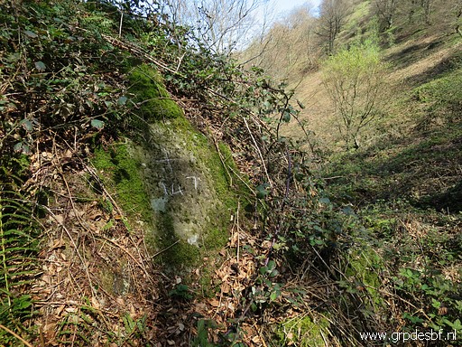 | Bm147 (click photo to enlarge) |
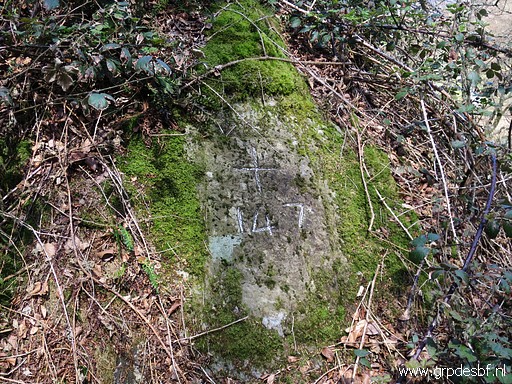 | Bm147 (click photo to enlarge) |
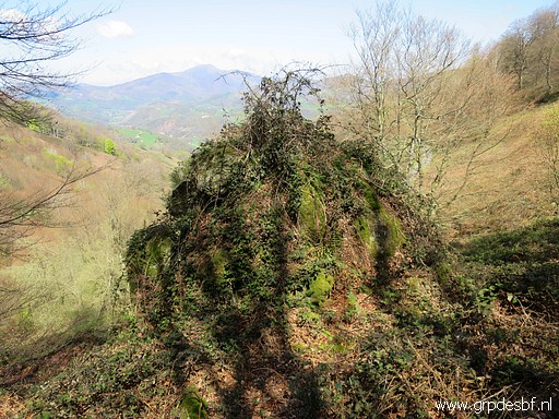 | Bm147 (click photo to enlarge) |
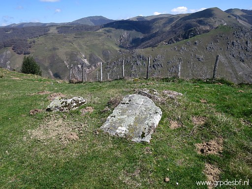 | Then climbing to a dirtroad which brings me to bm148. (click photo to enlarge) |
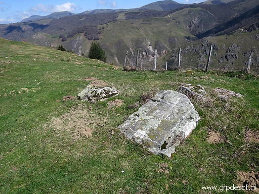 | Bm148 (click photo to enlarge) |
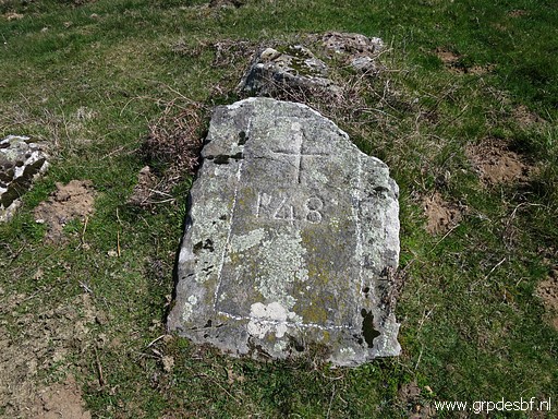 | Bm148 (click photo to enlarge) |
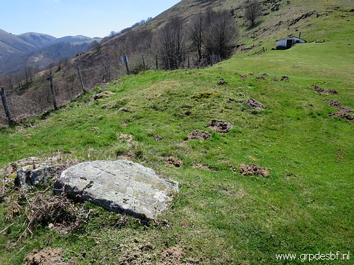 | Bm148 (click photo to enlarge) |
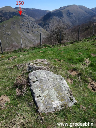 | Bm148 (click photo to enlarge) |
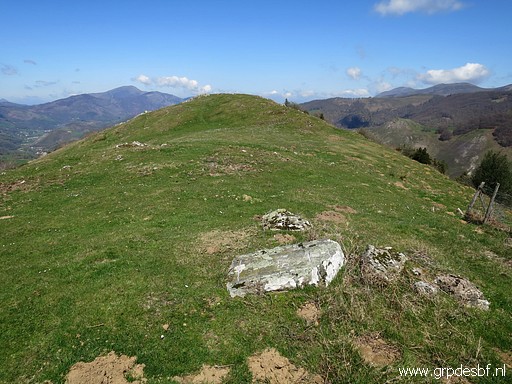 | Bm148, looking in the direction (click photo to enlarge) |
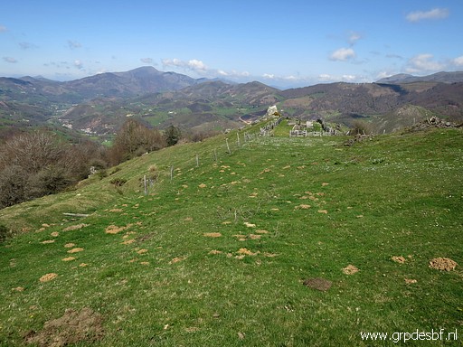 | where I continue (click photo to enlarge) |
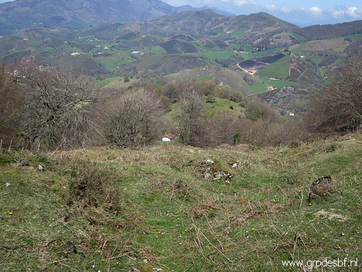 | to the cabin (click photo to enlarge) |
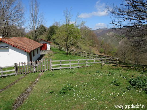 | where I have a lunch-break. (click photo to enlarge) |
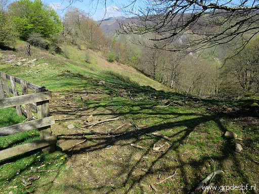 | Then descending back how I came, (click photo to enlarge) |
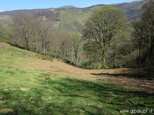 | downhill (click photo to enlarge) |
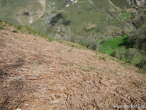 | through this field of weathered fern. In summertime this will be difficult to traverse. (click photo to enlarge) |
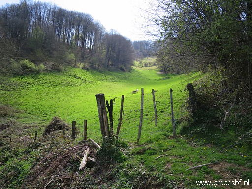 | A better route will be through this meadow. (click photo to enlarge) |
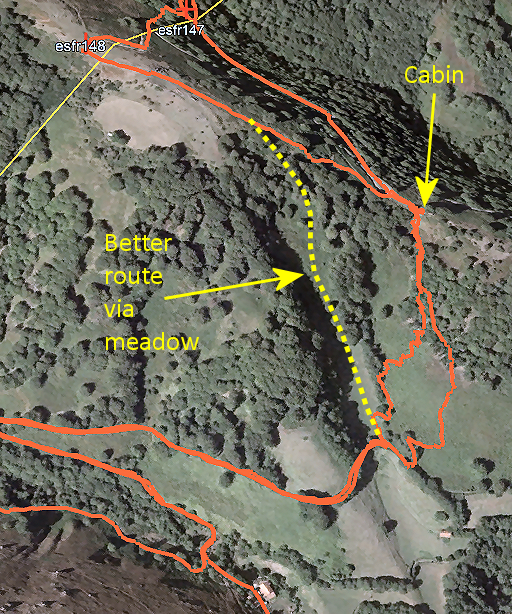 |
Let's show that on a map. |
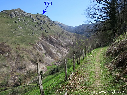 | Back at the path (click photo to enlarge) |
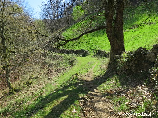 | and back at the junction of the two trails. (click photo to enlarge) |
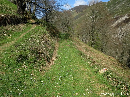 | Same sharp bend but now going back (click photo to enlarge) |
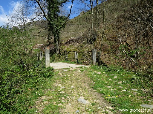 | to the bridge. (click photo to enlarge) |
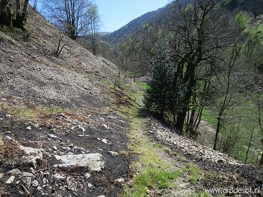 | At the other side of the bridge picking up (click photo to enlarge) |
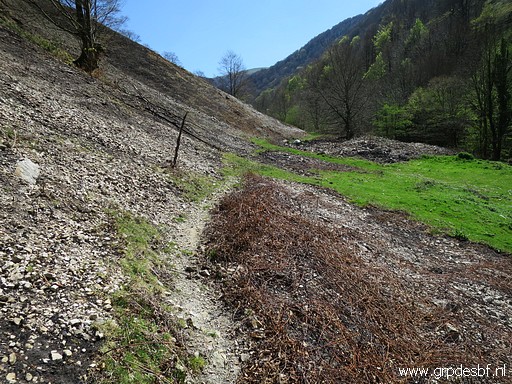 | this trail (click photo to enlarge) |
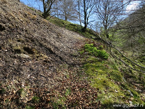 | which climbs gradually (click photo to enlarge) |
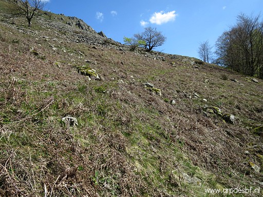 | to a higher level (click photo to enlarge) |
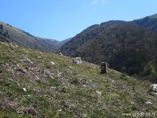 | until bm149 (cross and pillar) comes in sight. (click photo to enlarge) |
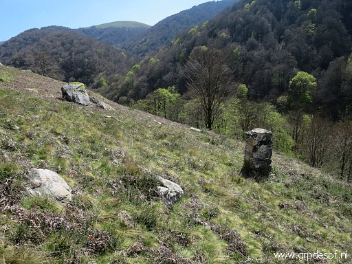 | The bordercross 149 to the left and the pillar 149 in front. (click photo to enlarge) |
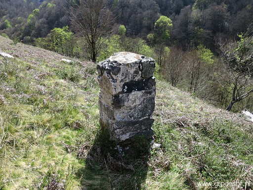 | Bm149-pillar (click photo to enlarge) |
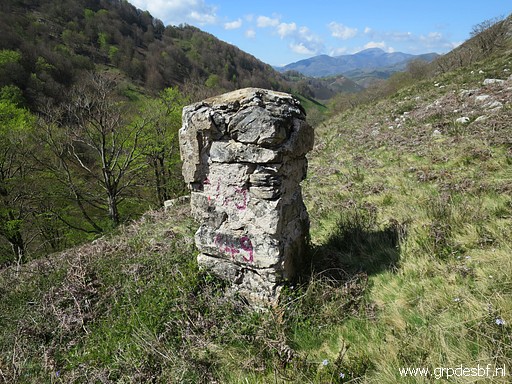 | Bm149-pillar (click photo to enlarge) |
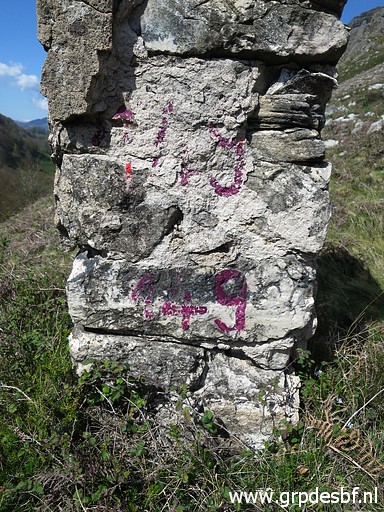 | Bm149-pillar (click photo to enlarge) |
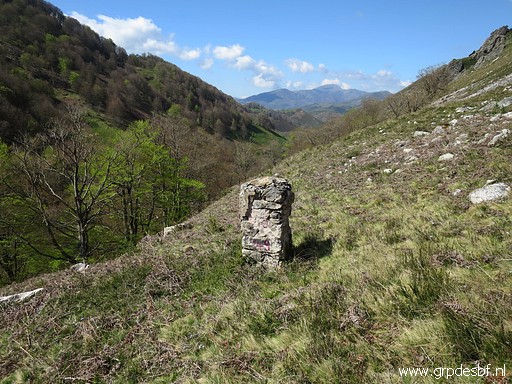 | Bm149-pillar (click photo to enlarge) |
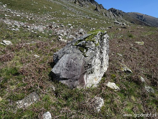 | Bm149-cross (click photo to enlarge) |
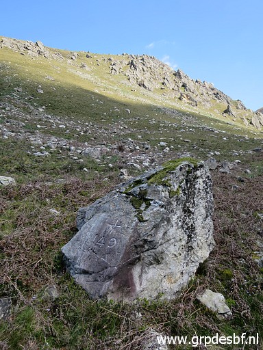 | Bm149-cross (click photo to enlarge) |
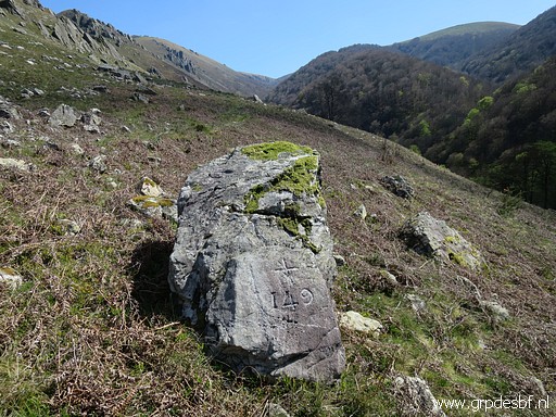 | Bm149-cross (click photo to enlarge) |
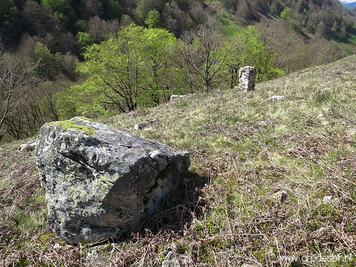 | Both bm149-cross and bm149-pillar (click photo to enlarge) |
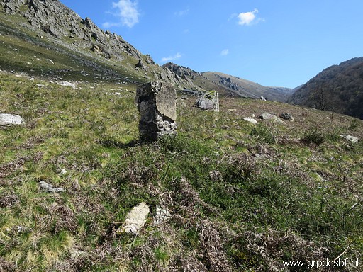 | Both bm149-pillar and bm149-cross. (click photo to enlarge) |
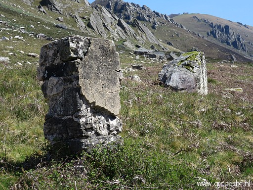 | Zoom-in to both bm149-pillar and bm149-cross (click photo to enlarge) |
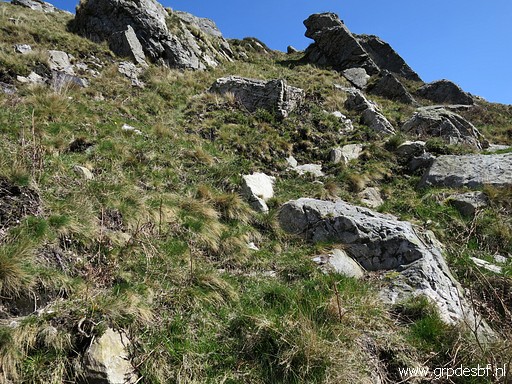 | Then climbing steeply uphill (click photo to enlarge) |
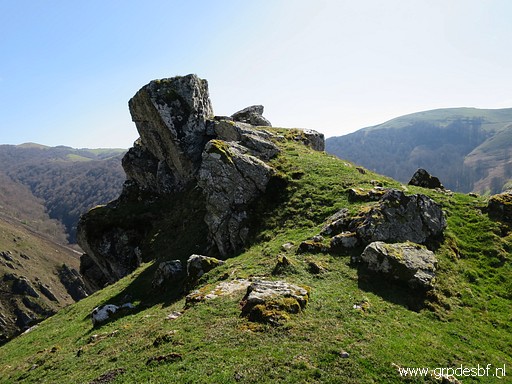 | to the ridge (click photo to enlarge) |
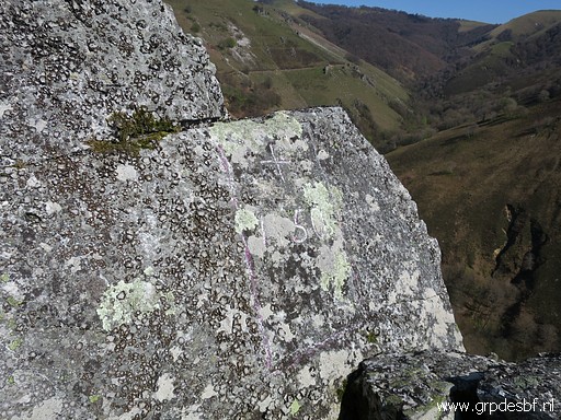 | with at the top bm150. (click photo to enlarge) |
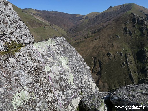 | Bm150 (click photo to enlarge) |
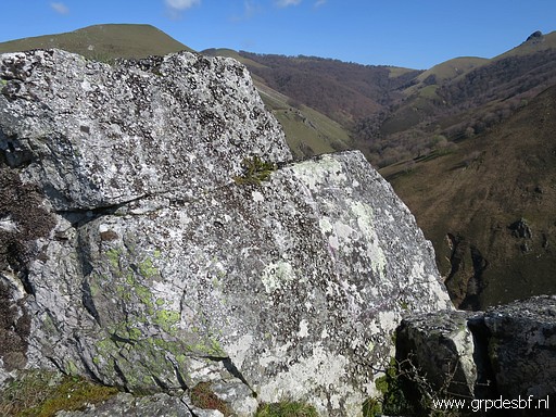 | Bm150 (click photo to enlarge) |
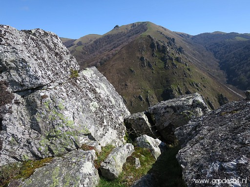 | Bm150 (click photo to enlarge) |
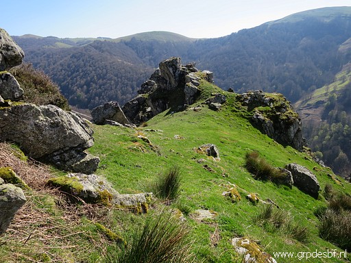 | Looking back at the rocky outcrop where bm150 is. (click photo to enlarge) |
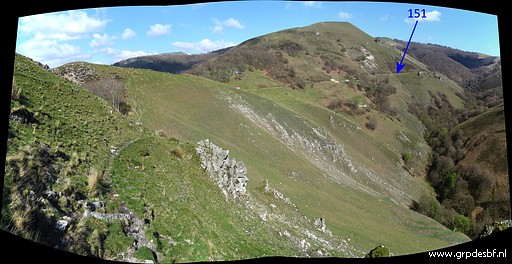 | On a trail traversing along the hillside to the dirtroad (click photo to enlarge) |
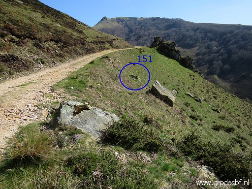 | and then continuing to bm151. (click photo to enlarge) |
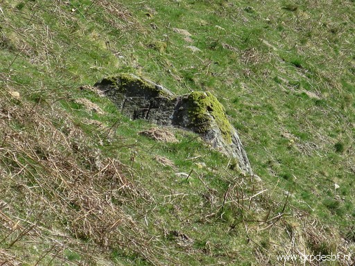 | Bm151 (click photo to enlarge) |
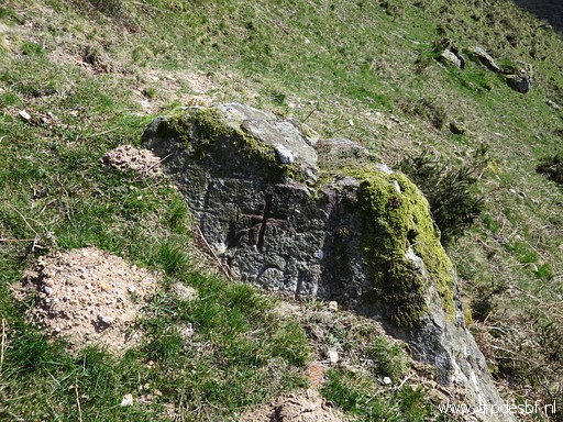 | Bm151 (click photo to enlarge) |
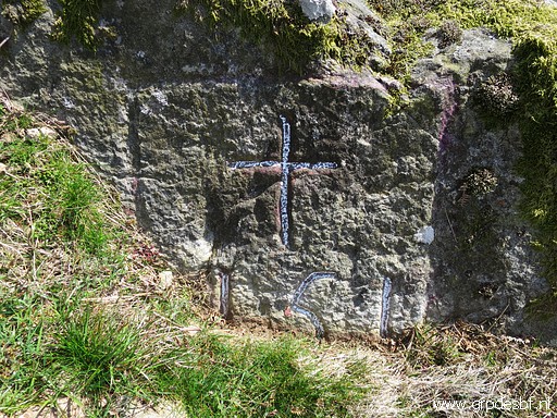 | Bm151 (click photo to enlarge) |
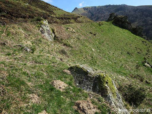 | Bm151 (click photo to enlarge) |
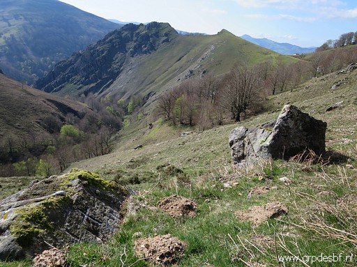 | Bm151 (click photo to enlarge) |
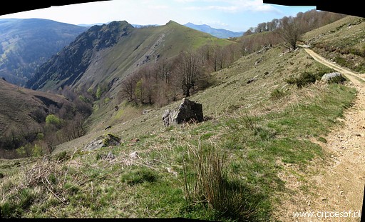 | Bm151 (click photo to enlarge) |
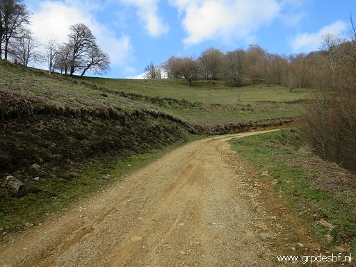 | Continuing along the dirtroad (click photo to enlarge) |
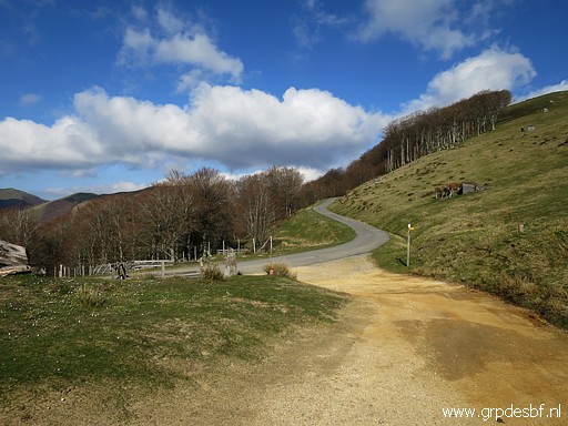 | and climbing to (click photo to enlarge) |
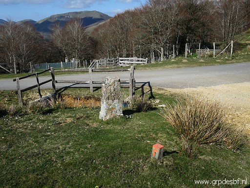 | back to bm152. (click photo to enlarge) |
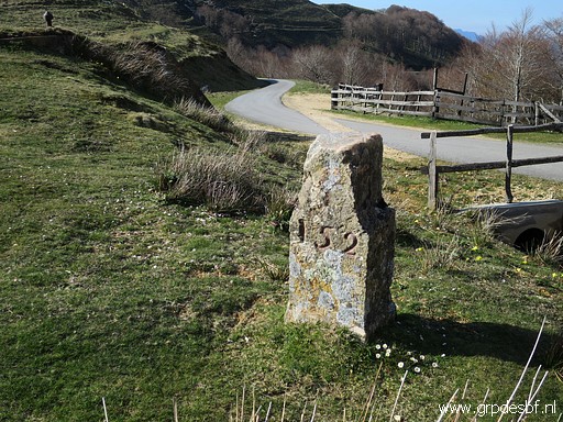 | Bm152 (click photo to enlarge) |
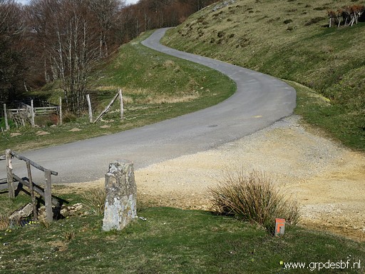 | Bm152 (click photo to enlarge) |
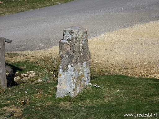 | Bm152 (click photo to enlarge) |
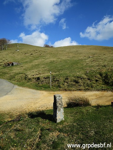 | Bm152, looking forward to the hillside with (click photo to enlarge) |
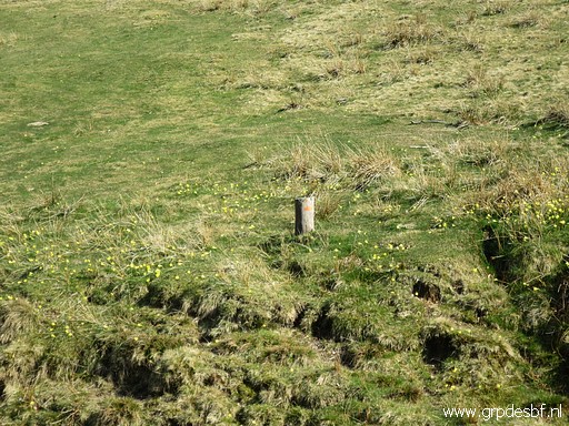 | the route (Sentier des Contrabandiers) (click photo to enlarge) |
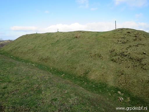 | to the remains of a fortification (click photo to enlarge) |
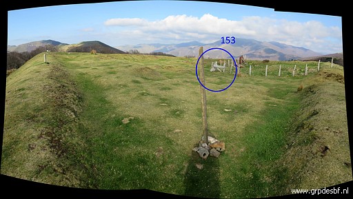 | with in the middle (click photo to enlarge) |
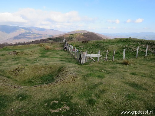 | bm153. (click photo to enlarge) |
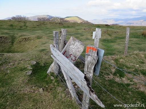 | Bm153 (click photo to enlarge) |
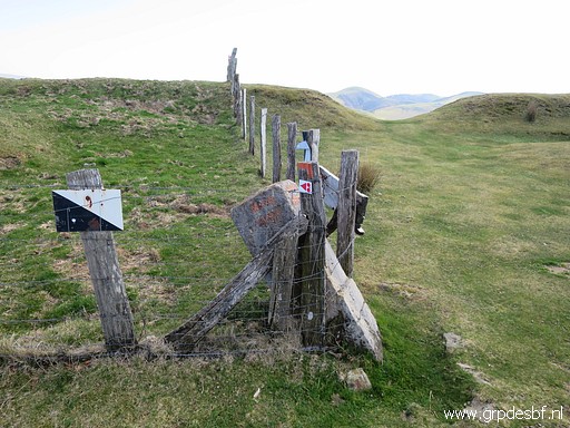 | Bm153 (click photo to enlarge) |
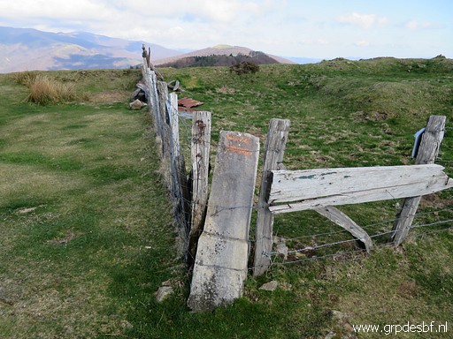 | Bm153 (click photo to enlarge) |
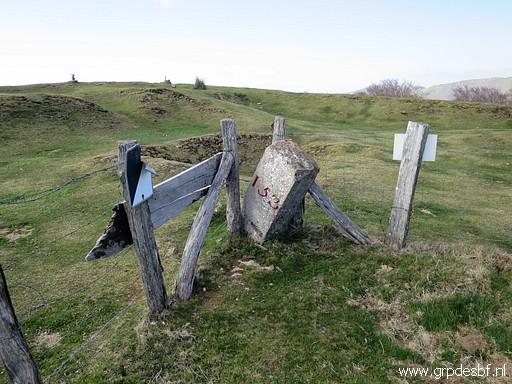 | Bm153 (click photo to enlarge) |
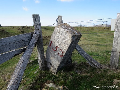 | Bm153 (click photo to enlarge) |
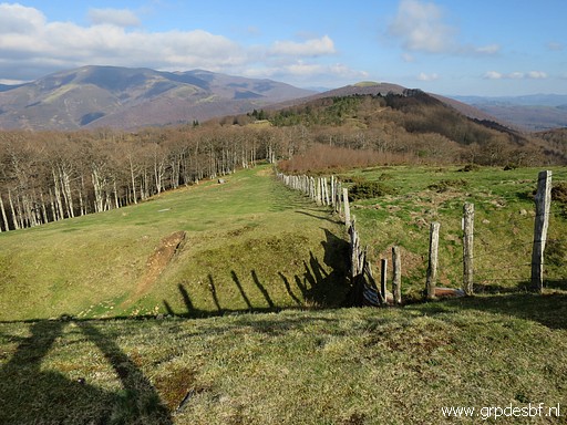 | At the other side of the hilltop descending (click photo to enlarge) |
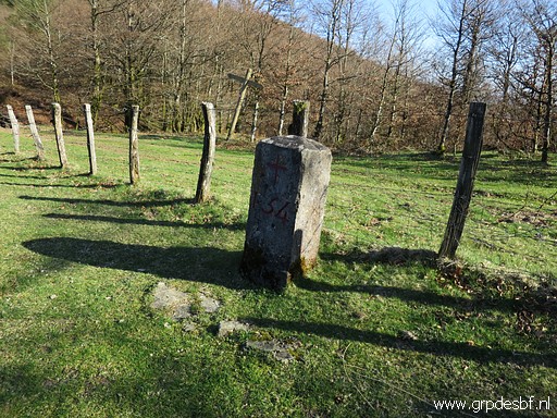 | to bm154. (click photo to enlarge) |
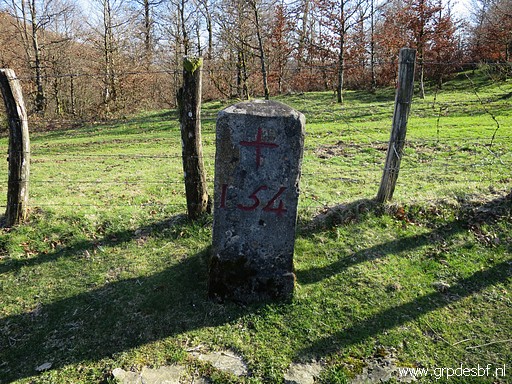 | Bm154 (click photo to enlarge) |
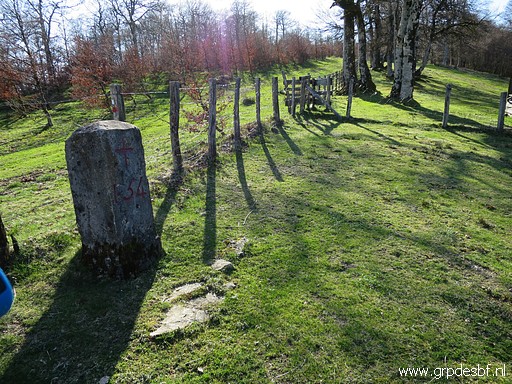 | Bm154, looking back (click photo to enlarge) |
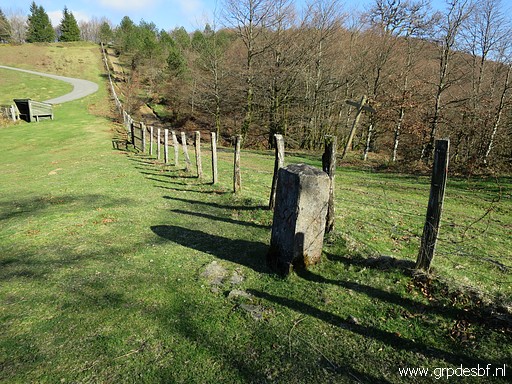 | Bm154, looking forward. (click photo to enlarge) |
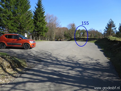 | Back at Col de Lindus with my car and (click photo to enlarge) |
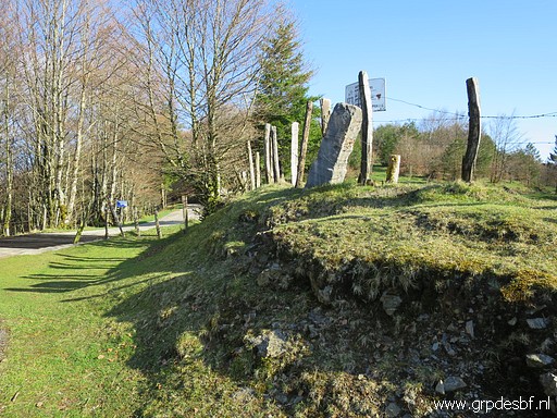 | bm155. (click photo to enlarge) |
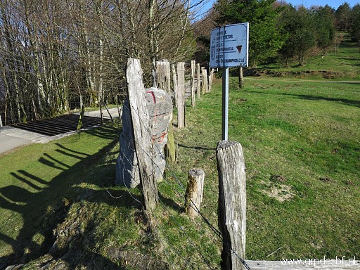 | Bm155 (click photo to enlarge) |
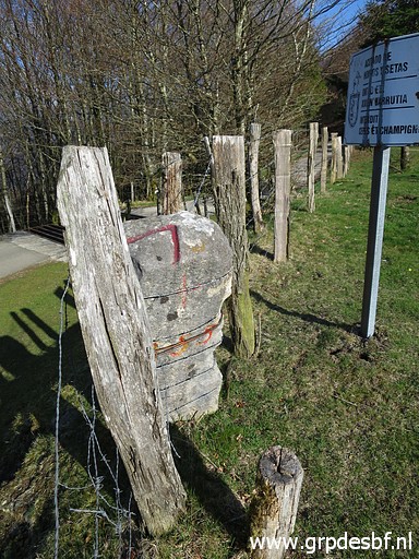 | Bm155 (click photo to enlarge) |
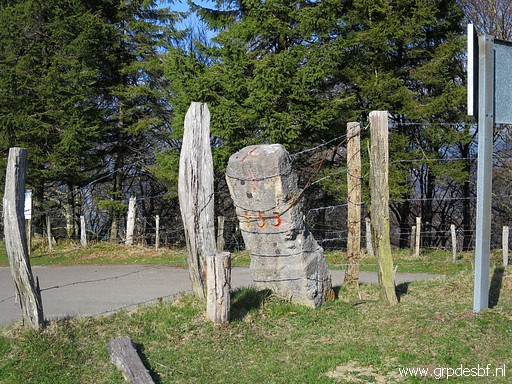 | Bm155, the last picture. I drive back, immediately to Carlos and Conchita for another pleasant dinner and chatting. (click photo to enlarge) |
 previous
trip
next
trip previous
trip
next
trip  |
|
