|
The
bordermarkers of the Pyrenees : all my trips
 |
|
| -
19 july
2004 - |
 |
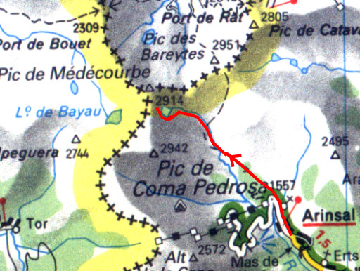 |
Trip-summary Part of a 8-days hike around the two tripoints of Andorra. Starting in Arinsal and finishing in Puigcerda with in between public transport from Auzat to Porte Puymorens. On this day I climbed from Arinsal to Els Estanys Foreats, the lake just beneath the Port the Medecourbe. Walking: 3½ hours. Ascending: ± 1200 meters. Descending: ± 0 meters. Weather: sun and clouds but dry. Heavy backpack. |
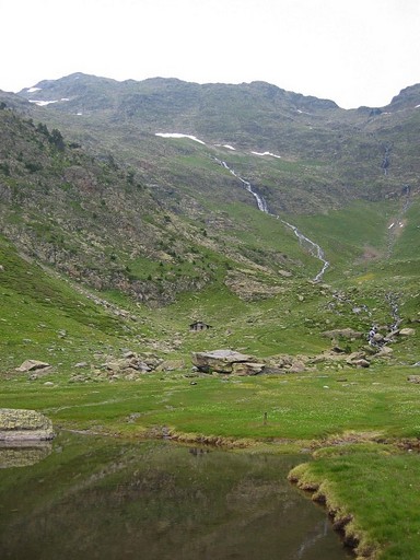 |
Refuge del Pla de
l'Estany I started walking around 12am in Arinsal and passed this spot with the Refuge del Pla de l'Estany. I was here before and started from this refuge on 17 august 2001 |
|
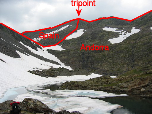
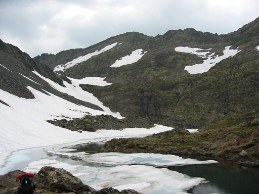
Els Estanys Foreats I arrived at this small frosty lake at the foot of the Col de Médecourbe around 16pm. I was worried by this view. There's still snow on the pass and while climbing to the pass, I could easily slide and disappear in the lake. Move the mouse over the picture to show the approximate borderline and tripoint. |
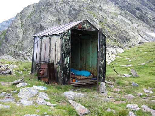 |
My bivouac-cabin
(close to Els Estanys Foreats) with views on the Col and Pic de
Médecourbe. So far, it's my highest sleeping-spot (2650m) ever in the Pyrenees. |