|
The
bordermarkers of the Pyrenees : all my trips
 |
|
| -
27 april
2006 - Into the maquis |
 |
 |
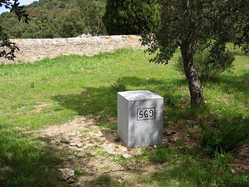
Trip-summary Part of a five-day trip from the Mediterranean sea to Le Perthus and a bit further. Day 4: from close to Col de la Comtessa (bm580) to close to bm564. Start 8.15, stop 17.30, breaks ± 1.15, time walked: 8 hours Climbing 300 meters Descending ± 200 meters Weather: sunny and windy |
|
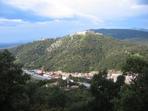
I try to
find a direct trail to bm577bis and bm578. This picture: probably taken in the beginning. The village of Le Perthus down below and on the hilltop Fort de Bellegarde. The border passes through the village and climbs uphill to the left of the annexe of the Fort. Move the mouse over the picture to see the approximate border. |
 |
The dirt road which descends NW from the field where I camped, is
winding in a different direction but ends well: close to a narrow
tunnel under the highway where a stream (at the border) passes underneath. Following the path parallel to the stream to the east, I suddenly see: Bm577 I |
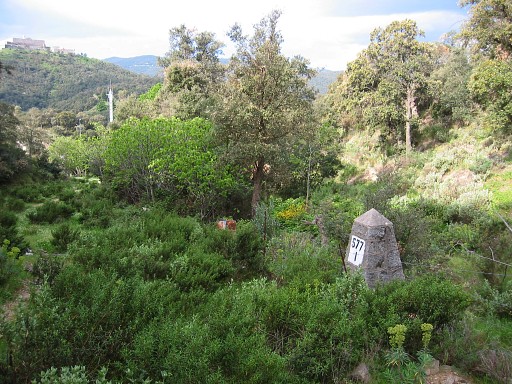 |
Bm577 I At the other side - after passing a fence a bit further on - and climbing a small hilltop, I find |
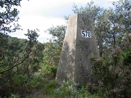 |
Bm578, also a
pyramid-shaped pillar. |
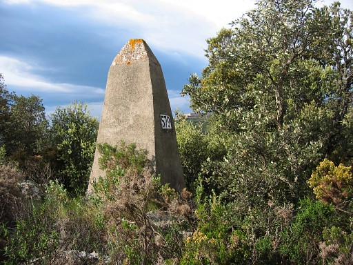 |
And then after
climbing ± 10 minutes through the bushes uphill, I find bm579 Back to the "pass" at the foot of bm578. Along the fence at the Spanish side there's a yellow waymarked trail which might lead SE to my camping spot of last night. On the French side I follow a dirt road to the tarmac road and enter Le Perthus. |
 |
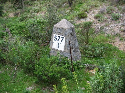
It's easy to find bm577, a giant obelisk I explore the tunnel underneath the highway, there are stairs at the other side to a path/dirt road. So this is a direct route to bm577 I. |
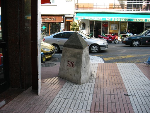 |
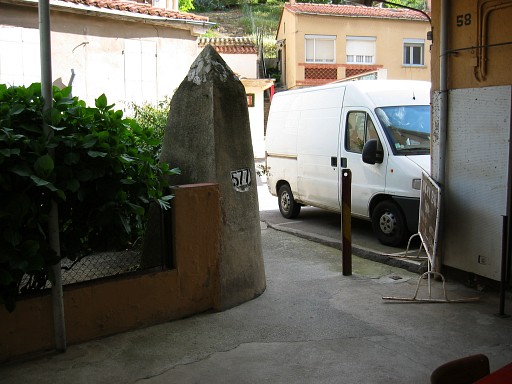
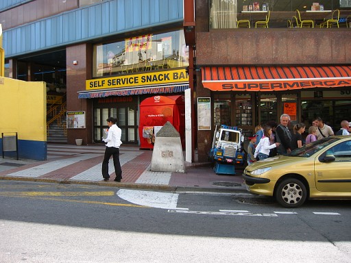
In the middle of Le
Perthus, at the sidewalk, there's bm57, with its peculiar triangular shape. |
 |
Bm576 |
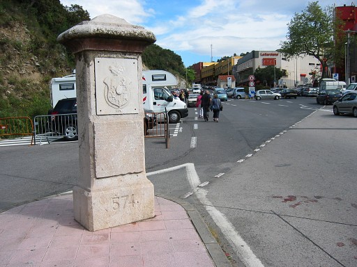 |
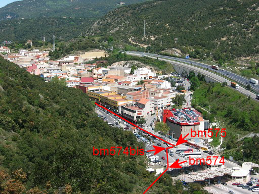
Just before the
customs office, I find bm574 and |
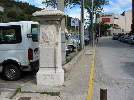 |
Bm575 Both pillars have decorations and inscriptions.. There's no path uphill in the direction of bm573, so it seems. It's very steep anyhow. So I have to make a detour, |
 |
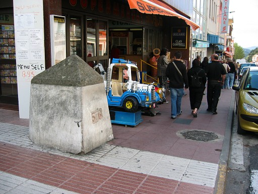
along - once again
- bm576. After a coffeebreak (with my favourite, a "grand café crême") I walk via the GR10-trail to |
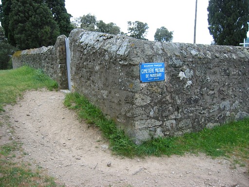 |
the
old cemetary of Panissars. |
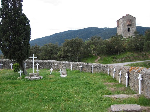 |
Behind the tower closeby (visible on this picture). I search for |
 |
bm568 which stands
SW and quite underneath of that tower. The IGN-map however shows a SE position. |
 |
Bm569 is easy to
find A brand new marker, standing behind the cemetary. In later years I will learn that an older bm569 is on display in the courtyard of Fort de Bellegarde. |
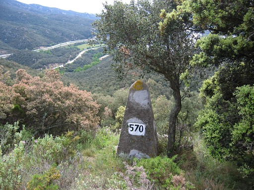 |
Then entering
the "maquis" with my compass for bm570 |
 |
Bm571 |
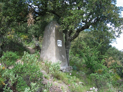 |
Bm572, about 10
meters from the previous one. Untill now, quite easy. |
 |
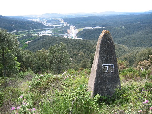
But bm573 can only be reached by wrestling through thorny bushes. Halfway down there's a rocky outcrop and from there I see the bm further below. |
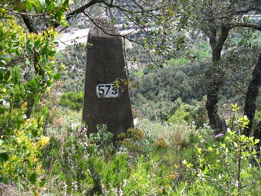 |
Bm573 |
|
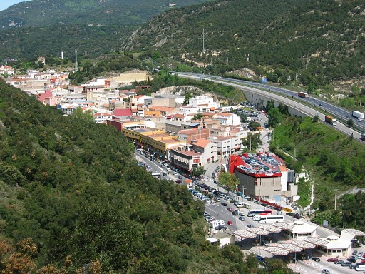
Looking down
at Le Perthus. Move the mouse over the picture to see the borderline and -markers. |
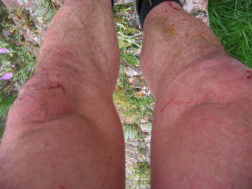 |
I've lost my map in
the meantime and have to return through the bush to bm572 to find it back. Tiring. By the way: all 4 markers might be found more easily by using the corners of the fort as starting- and orientation-points. Coffeebreak behind the cemetary to recover and look at my scratched legs. |
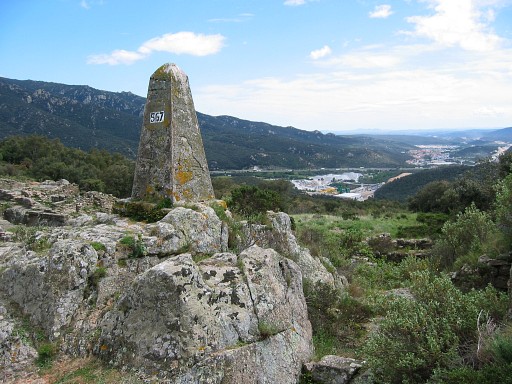 |
Then bm567 |
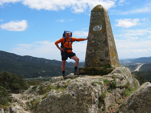 |
Bm567 with me |
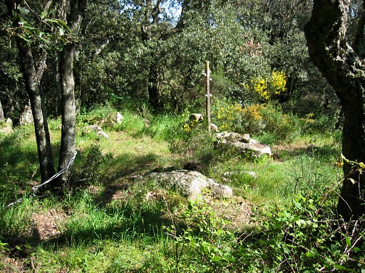 |
Along a yellow
waymarked path from bm567, I follow the borderline up to Pic del
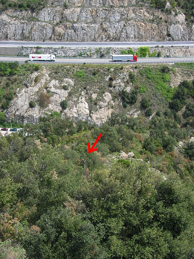
Priorat . I search a long time for bm566 but can't find it. This is a picture of the approximate place. Tomorrow a retry. |
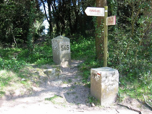 |
Further on to Bm565 and by following the Gr10-trail |
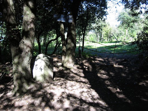 |
Bm564 |
 |
I walk back a little to find a camping spot, taking a sideroad along the stream Correc del Prat and then right away a side-path to the left of that road. |