The bordermarkers of the Pyrenees : all my trips  | |
| - 22 april
2007 - Jan-Willem hurting his leg |
 |
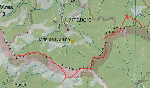 |
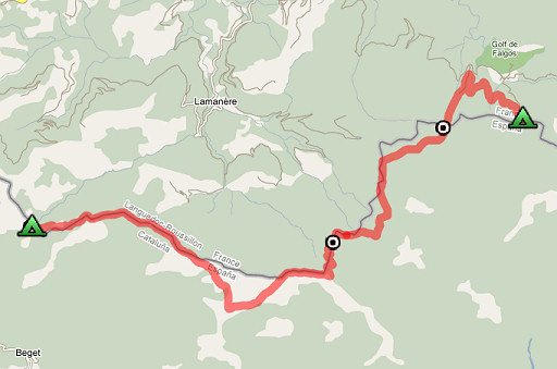
Trip-summary. Part of a 6 day's trip with Jan-Willem, exploring the bordermarkers around Coustouges and Lamanère: bm521-541. Day 5: back to Col de Massane, following the borderridge and revisiting bm522 en bm523. |
 |
esfr-trip-track-20070422.kml (opens in Google Earth) Start: 9.45 Walking time: 5½ h |
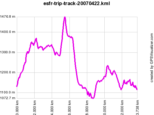 |
Gpx-view.com Distance : 13.717 km Altitudes : Maxi 1477 m Mini 1073 m Dénivelées : +631 m -630 m cumulative 1262 m |
 |
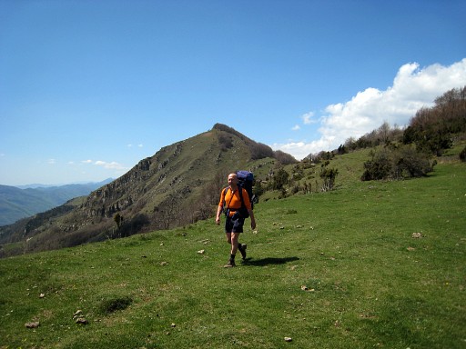
From Col de Malrems we follow the borderridge eastwards. There's a trail with various waymarkings. It's quite strenuous walking on this up and down mountain-ridge. |
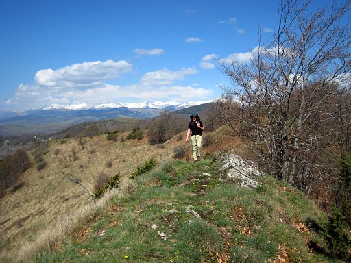 |
The
views are spectaculair: on a Spanish rough landscape speckled
with little farms and the snowcapped Canigou in France on the other
side. On the ridge many beech trees, with no leaves yet. And the weather is splendid. |
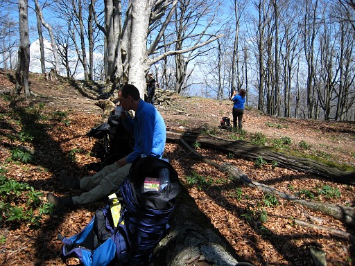 |
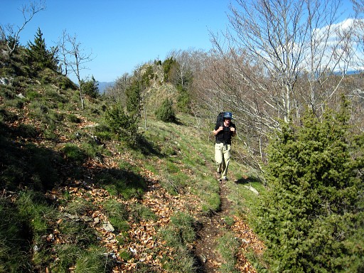
The waymarking gave only a problem before reaching Pic
de Coma Negra. We followed a waymarking which descended to a
waterreservoir on Spanish soil and we had to climb steeply again to get
on the ridge again. You see Jan-Willem on this picture, recovering from the climb. |
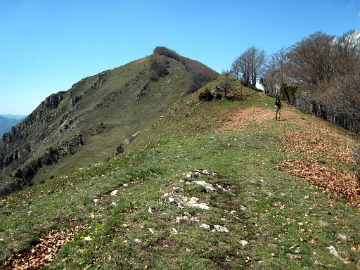 |
So you'd better stay on the ridge itself. |
 |
After the ridge-part, the border descends steeply to the north while a path zigzags along through the forest. Jan-Willem fell and hurt his leg. |
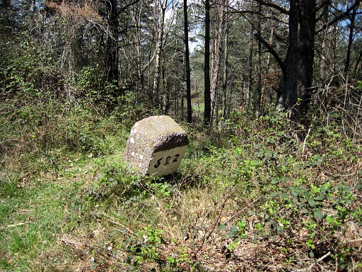 |
We pass again bm522 |
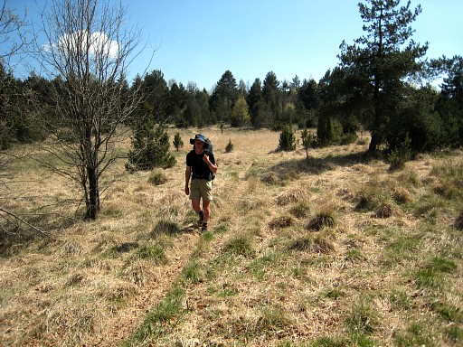 |
The routes we followed were indicated on the 50k maps. That means - among others - that beyond Col del Boix, you'll cross Spanish soil to reach Pla de Muga. This is the grassy plain of Pla de Muga. The Muga itself - the source of it - is a bit further. That was the only watersource on our trip today. |
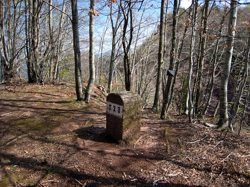 |
Bm523 revisited |
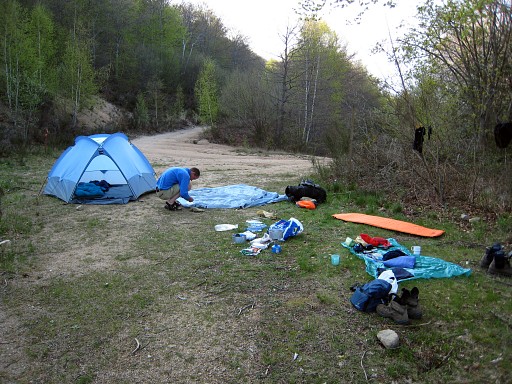 |
And back at our camping-spot of two nights earlier. |
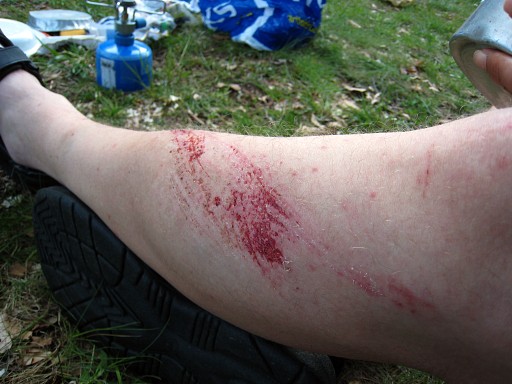 |
The injury of Jan-Willem, leaving scars forever. |
|
| |