|
The
bordermarkers of the Pyrenees : all my trips
 |
|
| - 23
april
2007 - Early morning trip |
 |
 |
Trip-summary. Part of a 6 day's trip with Jan-Willem, exploring the bordermarkers around Coustouges and Lamanère: bm521-541. Day 6: after finding bm526 and bm527, we leave the area and walk via Coustouges to Spain. |
 |
esfr-trip-track-20070423.kml (opens in Google Earth |
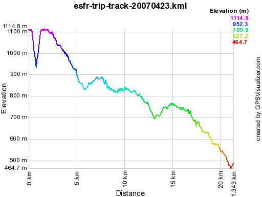 |
Gpx-view.com Distance : 21.305 km Altitudes : Maxi 1115 m Mini 465 m Dénivelées : +321 m -747 m cumulative 1068 m |
 |
At 7 am, I go for a last solo-trip
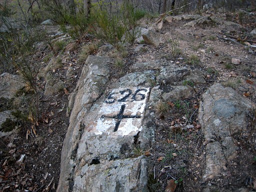
while Jan-Willem remains in the tent. From bm525 I descend with help of compass and gps along the borderline until the spot of bm526. It takes a little searching to find it on a bigger rocky part. Coordinates N42 21 17.3 E2 35 15.8 |
 |
Bm526 |
 |
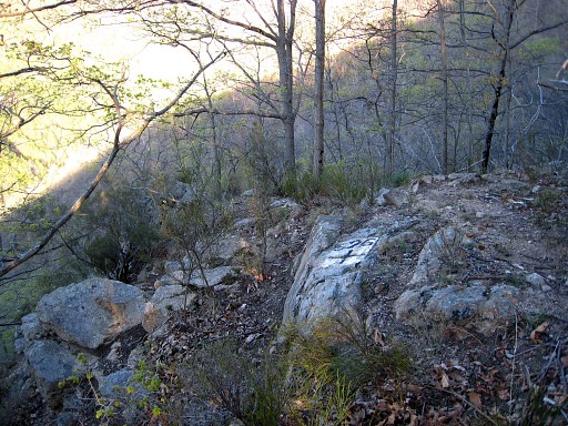
From bm526 there's a
waymarked trail
going down along the supposed borderline. It's less steep then the
descent from bm525 to bm526. Soon you'll reach a rocky ridge which descends to further below. Follow that ridge itself and after 20-30 meters you'll find bm527, on top of the ridge. Coordinates N42 21 13.6 E2 35 24.2 |
 |
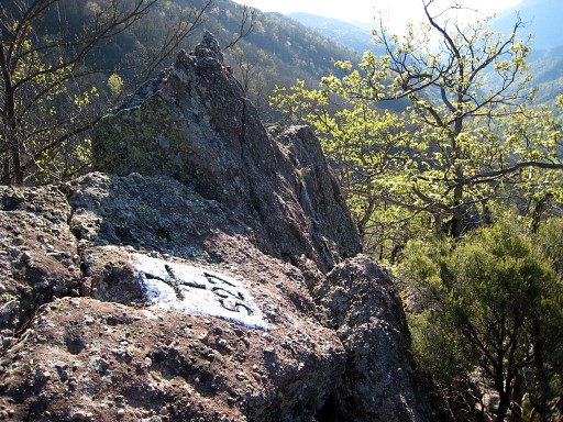
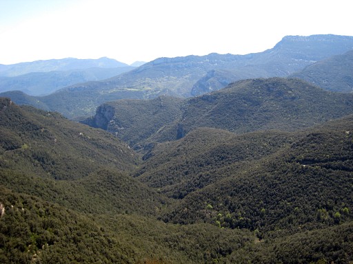
Bm527 from some distance. In the
distance, deep down below: the meadows of Hostal de la Muga. |
 |
I return, soon loosing the
trail and climbing directly to Col de Massanes. "Hunting
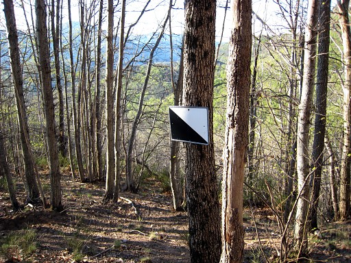
reserved"-signs like these help to keep the borderline in view. Back at the tent at 9 am. We pack our things and try a direct path to Villeroje. Soon there's a blue waymarked trail to the right. But we continue on the dirtroad (neglecting a 'no entry' sign) where at the second hairpin bend the blue trail reappears. The blue trail is apparently a shortcut. |
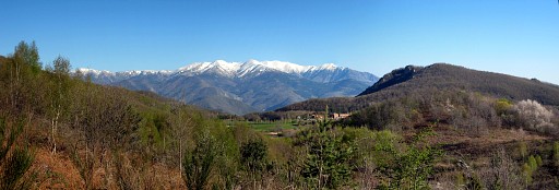 |
The
snowcapped Canigou. |
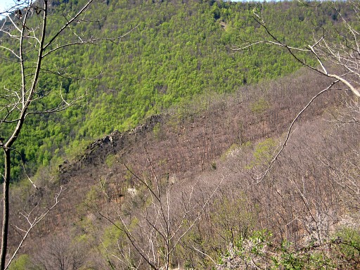 |
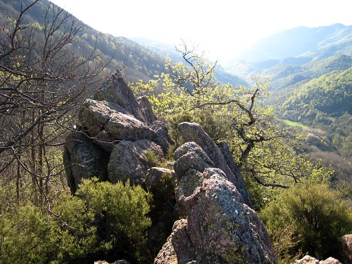
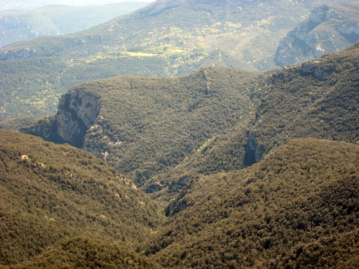
This is probably a view to
the SE with the rocky borderridge clearly visible, I think where bm527
is located. There are also nice views of Hostal de la Muga. When the dirtroad bends to the left, we follow a path (no waymarks) to the east (so straight on as it were). It ends at the edge of Villeroja. That is to say: a hamlet south of Villeroje where a few refuse bins are standing. That's where the dirtroad to Hostal de la Muga starts. But also the forest road to Coustouges which is our next goal. |
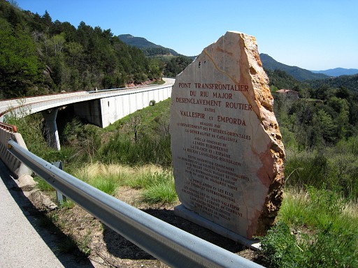 |
Via Coustouges descending to the borderbridge with this monument. The bridge was built in 1995, we didn't see any border markings on the bridge itself. |
|
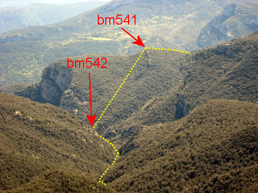
From the bridge or a bit
beyond, this zoom-in view into the valley where bm542 is located along
the stream. Move the mouse over the picture to see the borderline and bordermarkers. |
 |
And a zoom-out view |
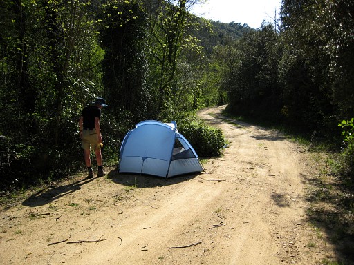 |
We continue on the road to
Maçanets de Cabrenys until we find beyond Tapis this suitable camping
spot on a sideroad. |